Zakho: what to see and where to eat
Everything below comes from open data and each row says where it came from. We have not been to any of these places and we do not rank them.
Filters
Things to see
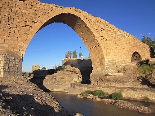 archaeological site
Delal Bridge
bridge over the Khabur
Getting there Nearest stop or station جهى كورستةرا, about 17 min on foot OpenStreetMap
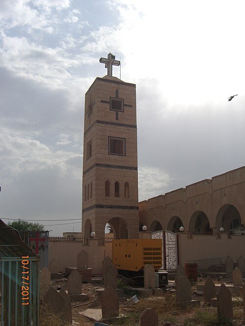 diocese of the catholic church
Zakho Eparchy
Getting there Nearest stop or station جهى كورستةرا, about 12 min on foot OpenStreetMap
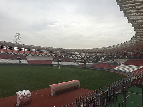
- mountain range
Mollagorgi Tepesi
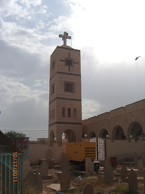 church building
Mar Gorgis Cathedral
Getting there Nearest stop or station جهى كورستةرا, about 17 min on foot OpenStreetMap
- hill
Tall Birgah
hill in Iraq
- hill
Gir-ē Zard
hill in Iraq
- hill
Bāsk-e Sarkō
hill in Iraq
- river
Aksu Creek
river in Şırnak, southeastern Turkey
- river
Başköy Creek
river in Şırnak, southeastern Turkey
- river
Düsalan Creek
river in Şırnak, southeastern Turkey
- river
Galī Barāza
river in Iraq
- river
Galī Birākh
river in Iraq
- river
Wādī al Murr
river in Iraq


Places to eat
Nothing here matches that. Clear a filter and try again.
Opening hours and tickets: OpenStreetMap contributors. Each one shows the day a volunteer last wrote it down, so check the official site before you set out.