Tunja: what to see and where to eat
Everything below comes from open data and each row says where it came from. We have not been to any of these places and we do not rank them.
Filters
Things to see
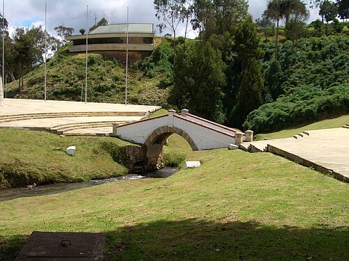
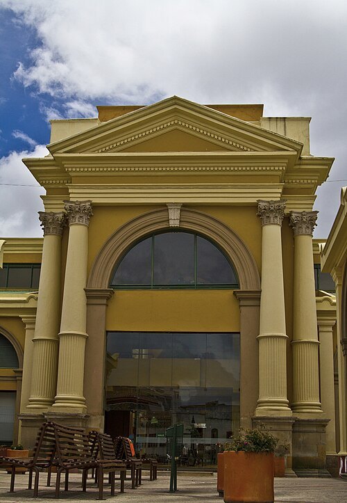 cultural property
Plaza Real de Tunja
national monument of Colombia
Getting there Nearest stop or station Terminal Antiguo de Transportes de Tunja, about 15 min on foot OpenStreetMap
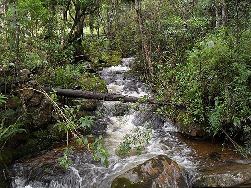 fauna and flora sanctuary
Iguaque Fauna and Flora Sanctuary
protected area in Colombia
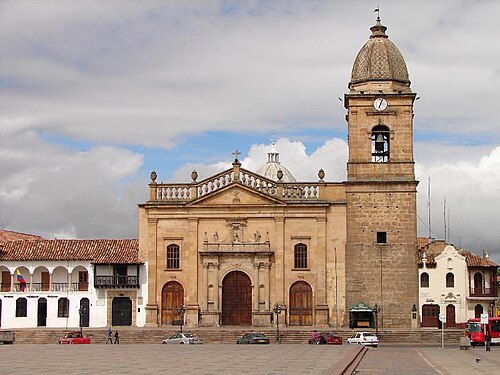
Anonimo(Anonimo) / CC BY-SA 2.5
catholic cathedralCathedral Basilica of St. James the Apostle, Tunja
church in Tunja, Colombia
Getting there Nearest stop or station Terminal Antiguo de Transportes de Tunja, about 10 min on foot OpenStreetMap
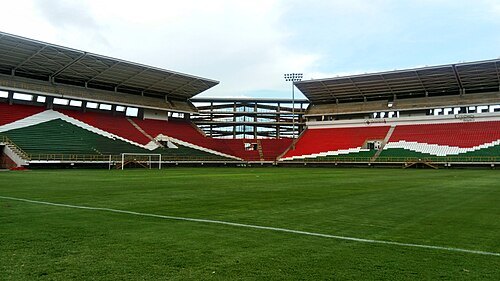
Henryleonardolopezmora1992 / CC BY-SA 4.0
sports venueEstadio La Independencia
Stadium in Tunja, Colombia
Getting there Nearest stop or station Tunja, about 12 min on foot OpenStreetMap
Óscar Ayala Sánchez / CC BY-SA 4.0
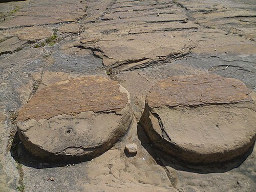
monumentCojines del Zaque
monument in Colombia
Getting there Nearest stop or station Terminal Antiguo de Transportes de Tunja, about 15 min on foot OpenStreetMap
 monument
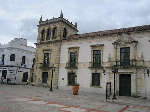
Palacio de la Torre
monument in Colombia
Getting there Nearest stop or station Terminal Antiguo de Transportes de Tunja, about 15 min on foot OpenStreetMap
 monument
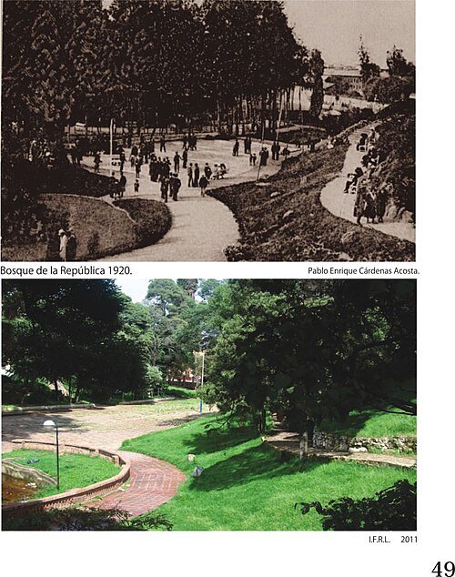
Bosque de la República
monument in Colombia
Getting there Nearest stop or station Terminal Antiguo de Transportes de Tunja, about 15 min on foot OpenStreetMap
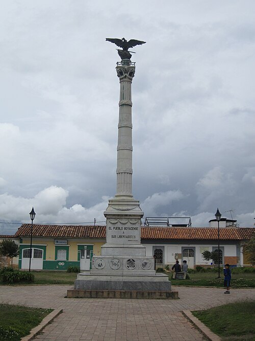 monument
Columna a los mártires
monument in Colombia
Getting there Nearest stop or station Terminal Antiguo de Transportes de Tunja, about 15 min on foot OpenStreetMap
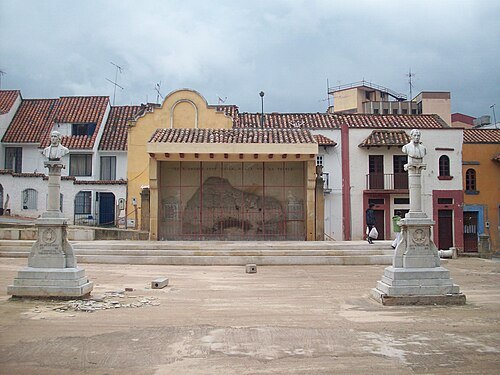 monument
Paredón de los Mártires
monument in Colombia
Getting there Nearest stop or station Terminal Antiguo de Transportes de Tunja, about 8 min on foot OpenStreetMap
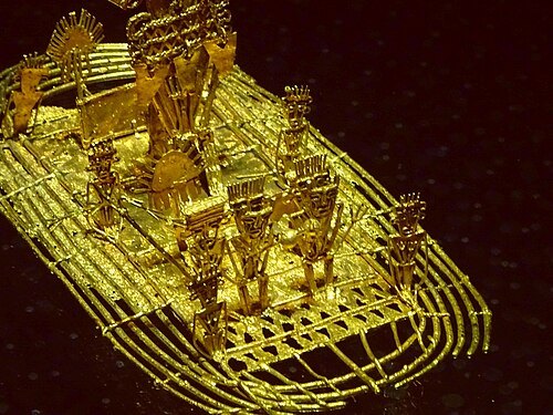 monument
Hunzahúa Well
monument in Tunja, Colombia
Getting there Nearest stop or station Terminal Antiguo de Transportes de Tunja, about 15 min on foot OpenStreetMap
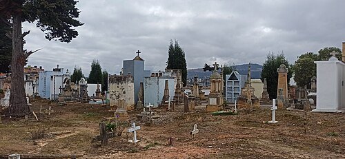 cemetery
Central Cemetery of Tunja
cemetery in Tunja, Colombia
Getting there Nearest stop or station Terminal Antiguo de Transportes de Tunja, about 17 min on foot OpenStreetMap
- park
Parc Joseph-Véronneau
park in Sainte-Julie, Quebec, Canada
- hill
Cerro San Lorenzo
hill in Colombia
- hill
Cerro Rativa
hill in Colombia
- hill
Morro Negro
hill in Colombia
- hill
Cuchilla Morro Negro
hill in Colombia
- hill
Alto Jariguaque
hill in Colombia
- mountain
Loma Gorda
mountain in Colombia
- hill
Peña de Cristo
hill in Colombia
- hill
Cerro de la Copa
hill in Colombia
- hill
Alto Chuscal
hill in Colombia
- hill
Alto de las Águilas
hill in Colombia
- lagoon
Embalse de la Copa
lagoon in Colombia
 monument
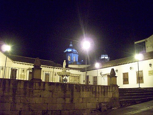
la pila del mono
monument in Colombia
Getting there Nearest stop or station Terminal Antiguo de Transportes de Tunja, about 15 min on foot OpenStreetMap
- hill
Alto Tiparuco
hill in Colombia
- hill
Alto San Pedro
hill in Colombia
- hill
Cuchilla Peñanegra
hill in Colombia
- hill
Monte Negro
hill in Colombia
- hill
Cuchilla de Monserrate
hill in Colombia
- hill
Cerro Chicaneca
hill in Colombia
- hill
Cerro de Casablanca
hill in Colombia
- mountain
Alto Llano Largo
mountain in Colombia
- hill
Loma de Vélez
hill in Colombia
- mountain
Cerro San Marcos
mountain in Colombia
 archaeological site
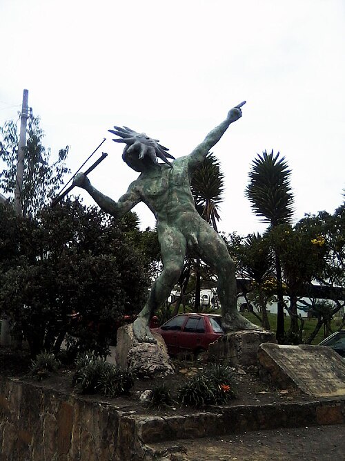
Goranchacha Temple
archaeological site
Getting there Nearest stop or station Tunja, about 9 min on foot OpenStreetMap
- hill
Loma La Parroquia
hill in Colombia


Places to eat
No eating place in this city lists its cuisine and opening hours yet.
Nothing here matches that. Clear a filter and try again.
Opening hours and tickets: OpenStreetMap contributors. Each one shows the day a volunteer last wrote it down, so check the official site before you set out.