Manizales: what to see and where to eat
Everything below comes from open data and each row says where it came from. We have not been to any of these places and we do not rank them.
Filters
Things to see
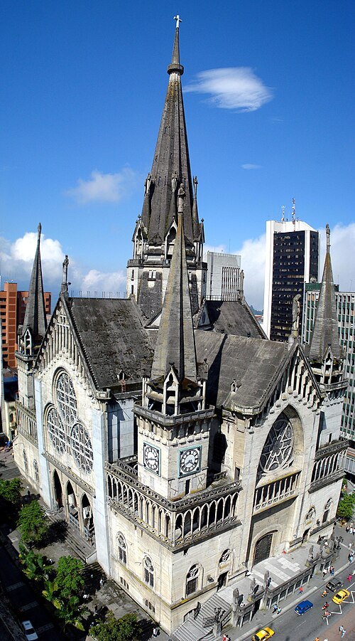 cathedral
Catedral Basílica Metropolitana Nuestra Señora del Rosario (Manizales)
national monument of Colombia
Getting there Nearest stop or station Fundadores, about 10 min on foot OpenStreetMap
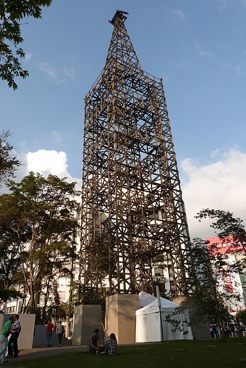
Brenda Berrio Aagudelo / CC BY-SA 3.0
towerTorre de Herveo
national monument of Colombia
Getting there Nearest stop or station El Cable, about 2 min on foot OpenStreetMap
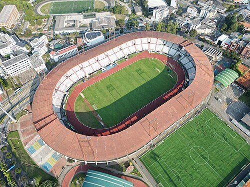
Alcaldía de Manizales / CC BY-SA 4.0
association football venueEstadio Palogrande
football stadium
Getting there Nearest stop or station Universidades, about 4 min on foot OpenStreetMap
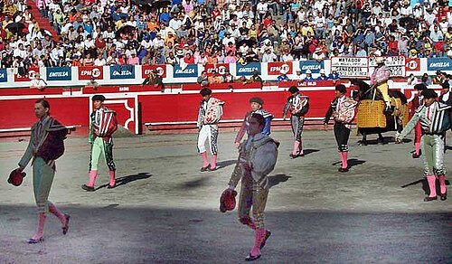 bullring
Plaza de Toros de Manizales
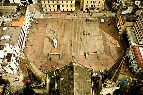 square
Plaza de Bolívar, Manizales
Getting there Nearest stop or station Fundadores, about 11 min on foot OpenStreetMap
- mountain
Alto de Letras
mountain in Colombia
- hill
Alto del Roble
hill in Colombia
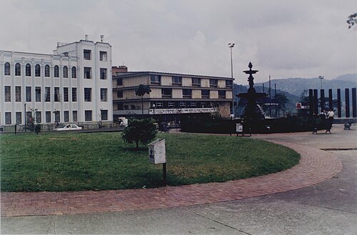 park
Parque Fundadores
small park in Manizales, Colombia
- hill
Alto Plazuela
hill in Colombia
- hill
Marmato
hill in Colombia
- hill
Alto Bandera
hill in Colombia
- mountain
Alto de La Cruz
mountain in Caldas Department, Colombia
- hill
Alto de Santo Domingo
hill in Colombia
- hill
Cuchilla Corozal
hill in Colombia
- reservoir
Represa Comeguada
reservoir in Colombia
Getting there Nearest stop or station Trans Armenia, about 14 min on foot OpenStreetMap
- hill
Cuchilla del Chuscal
hill in Caldas Department, Colombia
- park
Valencia
Carabobo- Valencia


Places to eat
- cafe
AZABACHE CAFÉ MANIZALES
Food: coffee shop, coffee, snackbar
Nothing here matches that. Clear a filter and try again.
Opening hours and tickets: OpenStreetMap contributors. Each one shows the day a volunteer last wrote it down, so check the official site before you set out.