Bogotá: what to see and where to eat
Everything below comes from open data and each row says where it came from. We have not been to any of these places and we do not rank them.
Filters
Things to see
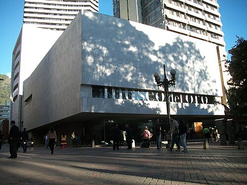
Felipe Restrepo Acosta / CC BY-SA 3.0
museumGold Museum
pre-Columbian archaeology museum in Bogota, Colombia
Getting there Nearest stop or station Museo del Oro, about 2 min on foot OpenStreetMap
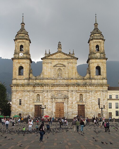
Felipe Restrpo Acosta / CC BY-SA 4.0
church buildingPrimary Cathedral of Bogotá
national monument of Colombia
Getting there Nearest stop or station San Victorino, about 6 min on foot OpenStreetMap
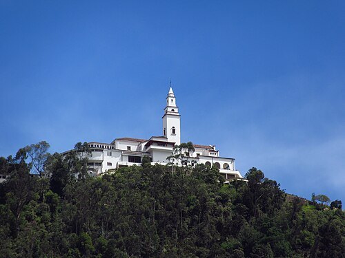
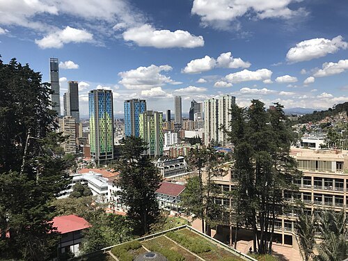
Felipe Ortega Grijalba / CC BY-SA 4.0
cultural propertyLa Candelaria
locality of the Capital District of Bogotá, Colombia
Getting there Nearest stop or station Estación Intermedia Bicentenario, about 13 min on foot OpenStreetMap
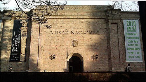 national museum
Colombian National Museum
national museum
Getting there Nearest stop or station Museo Nacional - FNG, about 2 min on foot OpenStreetMap
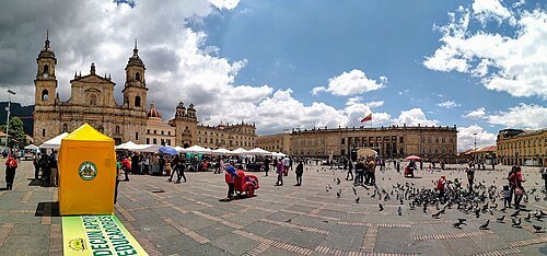 square
Plaza de Bolívar
main square of the city of Bogota, capital of Colombia
Getting there Nearest stop or station San Victorino, about 6 min on foot OpenStreetMap
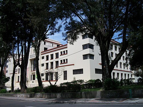
Felipe Restrepo Acosta / CC BY-SA 3.0
national libraryNational Library of Colombia
national library in Bogota, Colombia
Getting there Nearest stop or station San Diego, about 5 min on foot OpenStreetMap
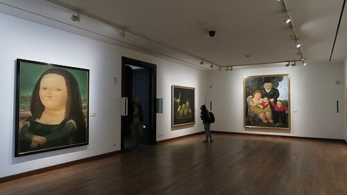 art museum
Botero Museum
museum in Bogota, Colombia
Getting there Nearest stop or station Museo del Oro, about 8 min on foot OpenStreetMap
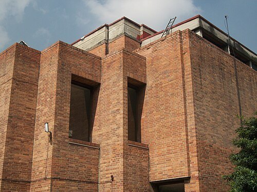
Felipe Restrepo Acosta / CC BY-SA 3.0
art museumBogotá Museum of Modern Art
museum in Colombia
Getting there Nearest stop or station San Diego, about 4 min on foot OpenStreetMap
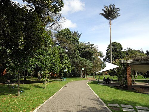
Felipe Restrepo Acosta / CC BY-SA 3.0
botanical gardenBogotá Botanical Garden
botanical garden
Getting there Nearest stop or station Parque Simón Bolívar, about 11 min on foot OpenStreetMap
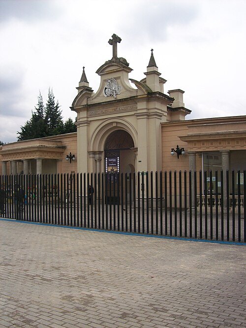 cemetery
Central Cemetery of Bogotá
national monument of Colombia
Getting there Nearest stop or station Estación 17 - Calle 26, about 4 min on foot OpenStreetMap
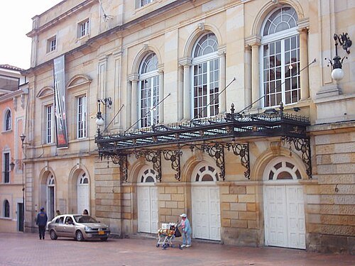
Frank Ballesteros / Public domain
opera houseTeatro Colón
theatre in Bogtoá, Colombia
Getting there Nearest stop or station Museo del Oro, about 8 min on foot OpenStreetMap
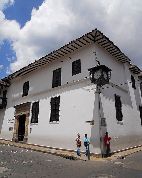
Felipe Restrepo Acosta / CC BY 3.0
museumMuseo Casa de Moneda
Colombian currency museum based in the city of Bogotá
Getting there Nearest stop or station Museo del Oro, about 8 min on foot OpenStreetMap
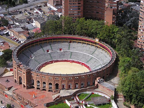
Carlos Andrés Prada Durán / CC BY-SA 2.5
bullringSantamaría Bullring
national monument of Colombia
Getting there Nearest stop or station Museo Nacional - FNG, about 4 min on foot OpenStreetMap
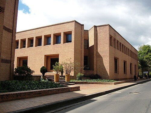
Felipe Restrepo Acosta / CC BY-SA 3.0
national libraryGeneral Archive of the Nation of Colombia
national archive and monument of Colombia
Getting there Nearest stop or station Estación Intermedia Bicentenario, about 8 min on foot OpenStreetMap
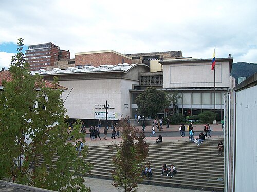
Felipe Restrepo Acosta / CC BY-SA 3.0
public libraryLuis Ángel Arango Library
public library in Bogotá, Colombia
Getting there Nearest stop or station Museo del Oro, about 7 min on foot OpenStreetMap
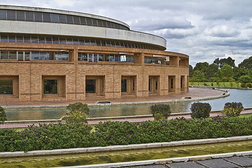 public library
Biblioteca Pública Virgilio Barco
Public library in Bogotá, Colombia
Getting there Nearest stop or station Parque Simón Bolívar, about 18 min on foot OpenStreetMap
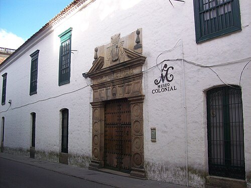 art museum
Museum of Colonial Art
art museum in Bogota, Colombia
Getting there Nearest stop or station San Victorino, about 9 min on foot OpenStreetMap
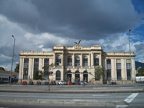
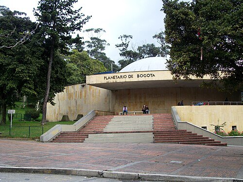
Felipe Restrepo Acosta / CC BY-SA 3.0
science museumPlanetarium of Bogotá
science museum, Planetarium in Bogotá, Colombia
Getting there Nearest stop or station San Diego, about 3 min on foot OpenStreetMap
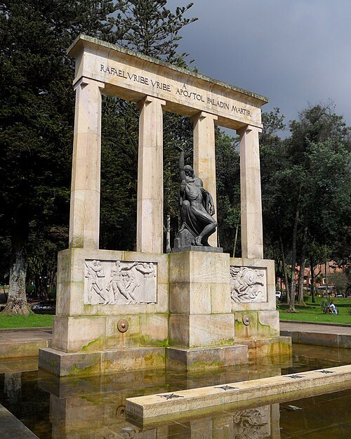
Felipe Restrepo Acosta / CC BY-SA 3.0
cultural propertyParque nacional Enrique Olaya Herrera
national monument of Colombia
Getting there Nearest stop or station Calle 34, about 14 min on foot OpenStreetMap
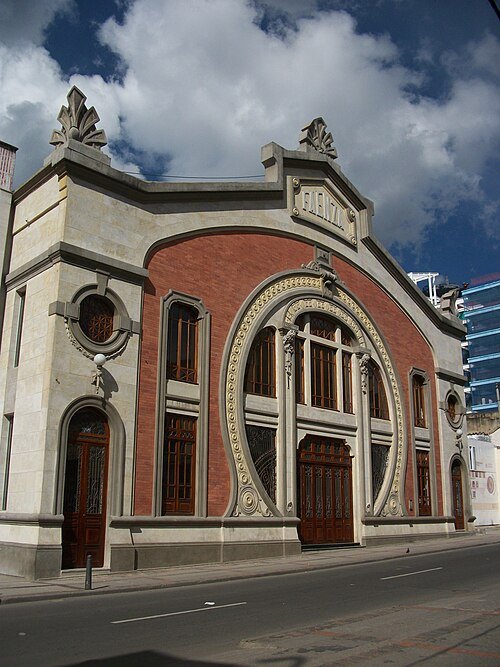
Felipe Restrepo Acosta / CC BY-SA 3.0
movie theaterTeatro Faenza
movie theatre in Bogotá, Colombia
Getting there Nearest stop or station Universidades, about 6 min on foot OpenStreetMap
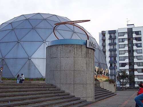
Edgar Jiménez from Ibagué, Colombia / CC BY 2.0
museumMaloka Museum
interactive museum of sciences at Bogotá, Colombia
Getting there Nearest stop or station El Tiempo - Cámara de Comercio de Bogotá, about 7 min on foot OpenStreetMap
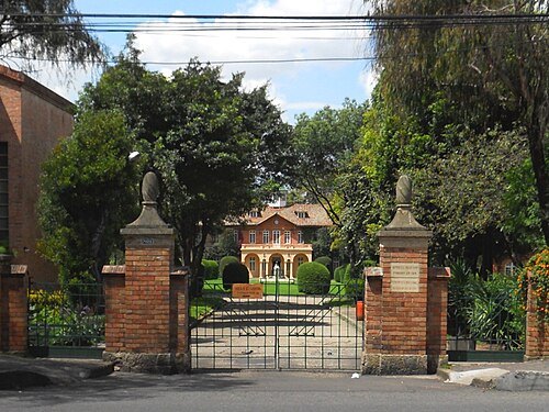
Felipe Restrepo Acosta / CC BY-SA 3.0
cultural propertyGimnasio Moderno
school in Bogotá, Colombia
Getting there Nearest stop or station To La Calera - Guatavita, about 8 min on foot OpenStreetMap
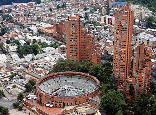
Jose David Parra from Bogota, Colombia / CC BY-SA 2.0
cultural propertyTorres del Parque
national monument of Colombia
Getting there Nearest stop or station Museo Nacional - FNG, about 4 min on foot OpenStreetMap
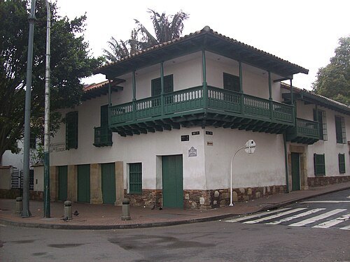 museum
Museo de la Independencia Casa del Florero
national monument of Colombia
Getting there Nearest stop or station San Victorino, about 6 min on foot OpenStreetMap
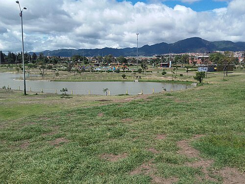 urban park
Parque Metropolitano El Tunal
urban park located in Bogotá
Getting there Nearest stop or station Biblioteca, about 9 min on foot OpenStreetMap
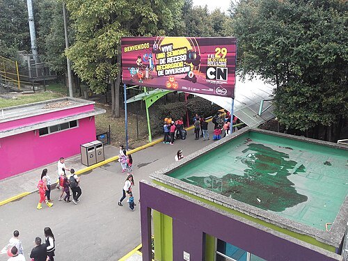 urban park
Parque Mundo Aventura
Getting there Nearest stop or station Avenida Boyacá, about 12 min on foot OpenStreetMap
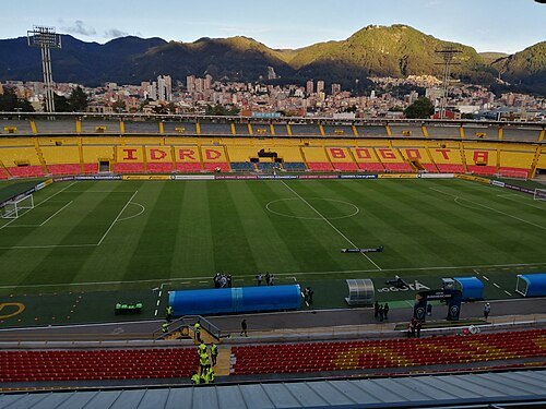 association football venue
Estadio El Campín
football stadium
Getting there Nearest stop or station El Campín - Universidad Antonio Nariño, about 2 min on foot OpenStreetMap
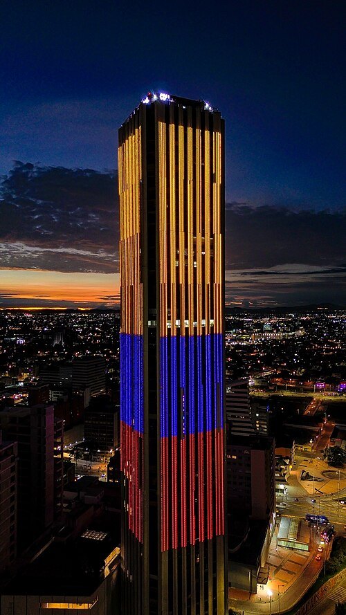 tower block
Torre Colpatria
skyscraper in Bogotá
Getting there Nearest stop or station San Diego, about 2 min on foot OpenStreetMap
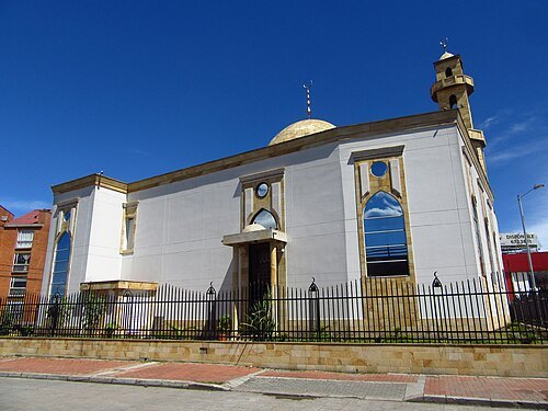
Felipe Restrepo Acosta / CC BY-SA 4.0
mosqueAbou Bakr Al-Siddiq Mosque
mosque in Bogotá, Colombia
Getting there Nearest stop or station San Martín, about 3 min on foot OpenStreetMap
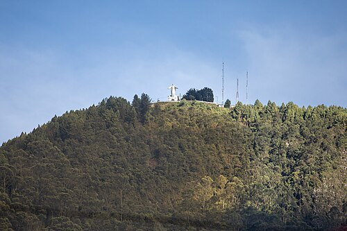
- sports venue
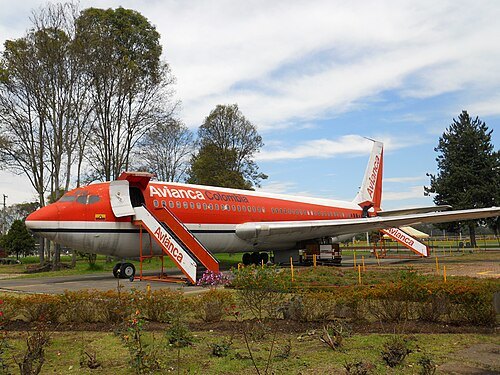
Estadio Metropolitano de Techo
multi-use stadium in Bogotá, Colombia
Getting there Nearest stop or station Av. Américas - Avenida Boyacá, about 11 min on foot OpenStreetMap
Felipe Restrepo Acosta / CC BY-SA 3.0
museumChildren's Museum of Bogotá
museum in Colombia
Getting there Nearest stop or station Parque Simón Bolívar, about 13 min on foot OpenStreetMap
 temple
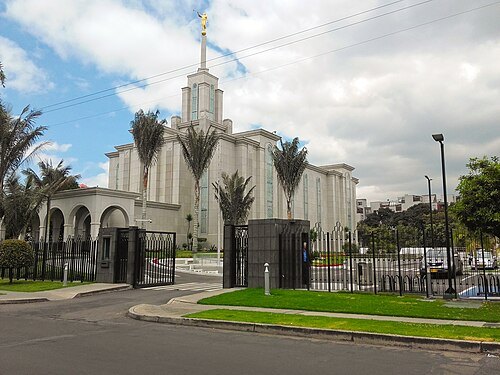
Bogotá Colombia Temple
temple of the LDS church
Getting there Nearest stop or station Calle 127, about 7 min on foot OpenStreetMap
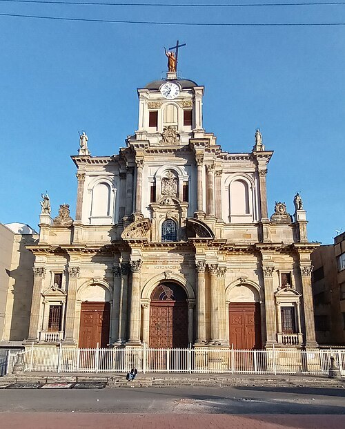 church building
Basílica del Sagrado Corazón de Jesús, Bogotá
church building in Bogotá, Colombia
Getting there Nearest stop or station Avenida Jiménez, about 3 min on foot OpenStreetMap
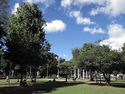
Felipe Restrepo Acosta / CC BY-SA 4.0
park93 Park
park in Bogotá, Colombia
Getting there Nearest stop or station Carrera 11, about 13 min on foot OpenStreetMap
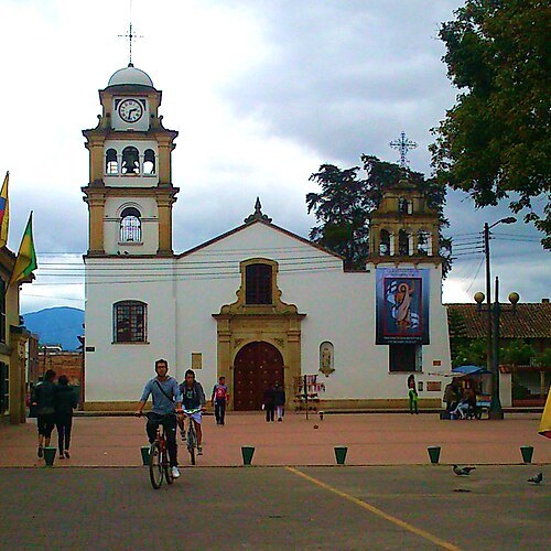
NicolasGrisales / CC BY-SA 3.0
cathedralCathedral of St. James Apostle
Cathedral of Fontibon Diocese
Getting there Nearest stop or station Estación 10 - Fontibón, about 9 min on foot OpenStreetMap
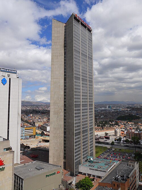
Felipe Restrepo Acosta / CC BY-SA 3.0
skyscraperCentro de Comercio Internacional
office in Bogotá, Colombia
Getting there Nearest stop or station Calle 26, about 3 min on foot OpenStreetMap
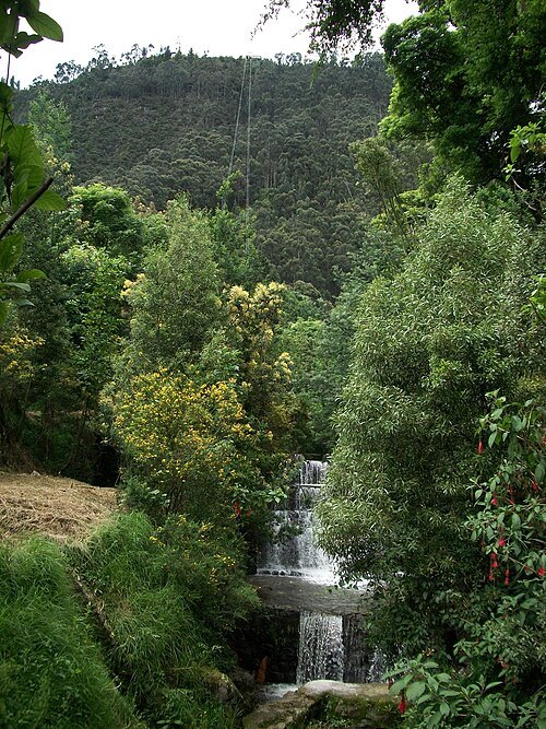
Felipe Restrepo Acosta / CC BY-SA 3.0
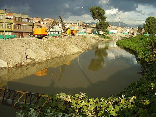
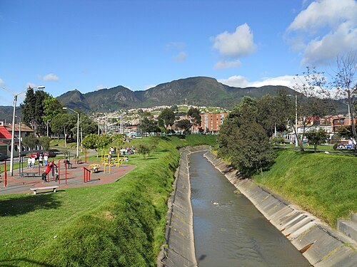
riverSan Francisco River
river in Bogotá, Colombia
Getting there Nearest stop or station Universidades, about 1 min on foot OpenStreetMap
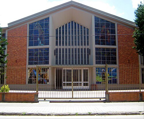
NicolasGrisales / CC BY-SA 3.0
catholic cathedralCatedral San Juan Bautista de la Estrada
church in Engativá, Colombia
Getting there Nearest stop or station Calle 72, about 11 min on foot OpenStreetMap
- church building
International Charismatic Mission Church
church in Bogotá, Colombia
Getting there Nearest stop or station Estación 6 - Mosquera 2, about 11 min on foot OpenStreetMap
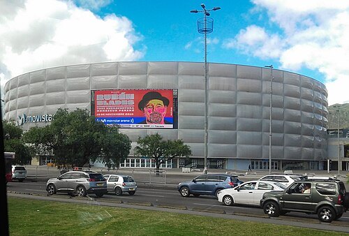
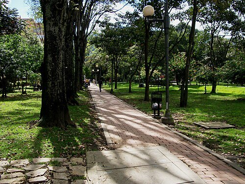
Felipe Restrepo Acosta / CC BY-SA 3.0
parkParque El Virrey
park in Bogotá, Colombia
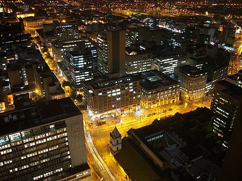
Felipe Restrepo Acosta / CC BY-SA 3.0
streetCarrera Séptima
street in Bogotá, Colombia
Getting there Nearest stop or station Estación Usaquén, about 10 min on foot OpenStreetMap
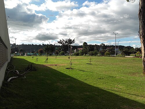
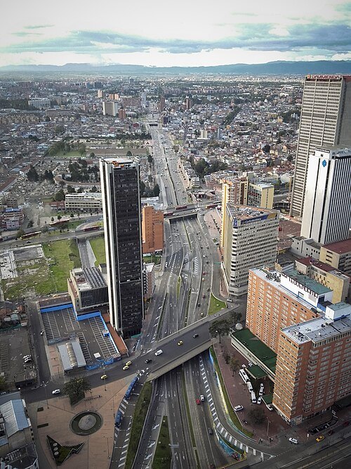 avenue
Avenida Eldorado
avenue
Getting there Nearest stop or station Gobernación, about 4 min on foot OpenStreetMap
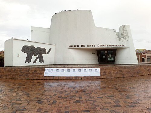 art museum
Museum of Contemporary Art of Bogotá
contemporary art museum in Bogotá
Getting there Nearest stop or station Minuto de Dios, about 4 min on foot OpenStreetMap
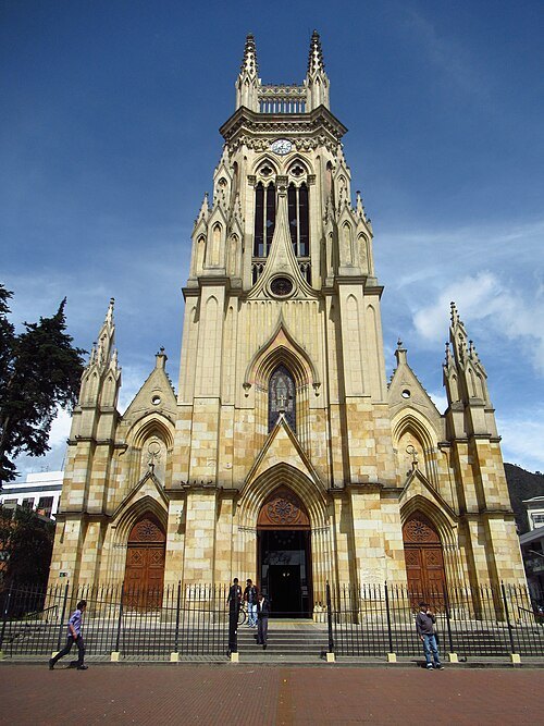
Felipe Restrpo Acosta / CC BY-SA 4.0
minor basilicaIglesia de Nuestra Señora de Lourdes
church building in Bogotá, Colombia
Getting there Nearest stop or station Calle 63, about 4 min on foot OpenStreetMap
- protected area
La Vaca
wetland in Kennedy, Bogotá, Colombia
Getting there Nearest stop or station Patio Bonito, about 13 min on foot OpenStreetMap
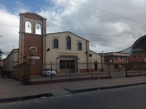 catholic cathedral
Cathedral of Jesus Christ Our Peace
Colombian catholic church cathedral
Getting there Nearest stop or station León XIII, about 5 min on foot OpenStreetMap
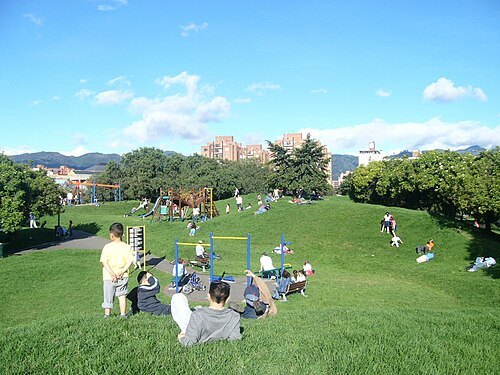 park
Sauzalito Park, Bogotá
Getting there Nearest stop or station Terminal de Transporte de Bogotá - Terminal Salitre, about 8 min on foot OpenStreetMap
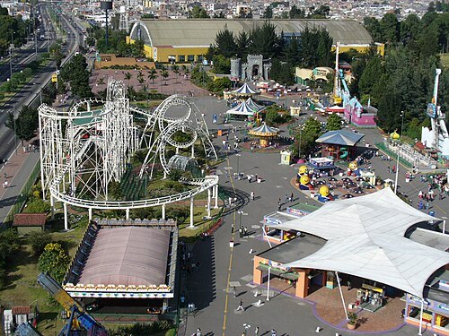 amusement park
Salitre Magico
amusement park in Simón Bolívar Park in Bogotá
Getting there Nearest stop or station Calle 66, about 5 min on foot OpenStreetMap
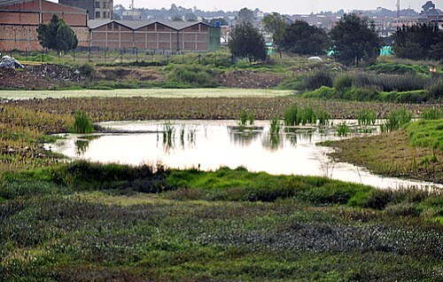 protected area
El humedal del burro
wetland in Bogotá, Colombia
Getting there Nearest stop or station Transversal 86, about 13 min on foot OpenStreetMap
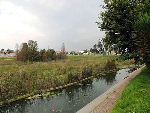
Felipe Restrepo Acosta / CC BY-SA 3.0
protected areaJaboque
- water park
Cici Aquapark


Places to eat
- restaurant
Pizzeria Sara Valentina
Food: pizza
Nothing here matches that. Clear a filter and try again.
Opening hours and tickets: OpenStreetMap contributors. Each one shows the day a volunteer last wrote it down, so check the official site before you set out.