Santiago: what to see and where to eat
Everything below comes from open data and each row says where it came from. We have not been to any of these places and we do not rank them.
Filters
Things to see
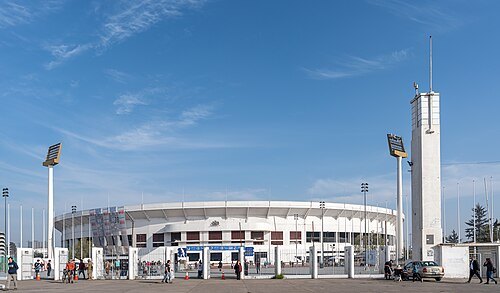 association football venue
Julio Martínez Prádanos National Stadium
stadium in Santiago, Chile
Getting there Nearest stop or station Estadio Nacional, about 7 min on foot OpenStreetMap
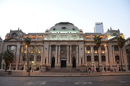 national library
National Library of Chile
library of Chile
Getting there Nearest stop or station Santa Lucía, about 1 min on foot OpenStreetMap
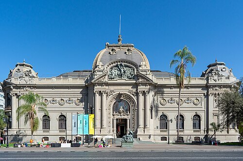
Carlos Figueroa Rojas / CC BY-SA 4.0
national museumChilean National Museum of Fine Arts
national monument of Chile
Getting there Nearest stop or station Bellas Artes, about 2 min on foot OpenStreetMap
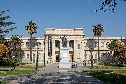
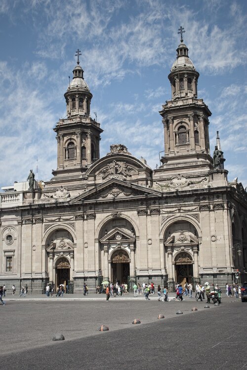 cathedral
Santiago Metropolitan Cathedral
national monument of Chile
Getting there Nearest stop or station Plaza de Armas, about 1 min on foot OpenStreetMap
Carlos Figueroa Rojas / CC BY-SA 4.0
natural history museumChilean National Museum of Natural History
natural history museum in Chile
Getting there Nearest stop or station Quinta Normal, about 4 min on foot OpenStreetMap
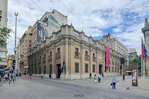 archaeological museum
Chilean Museum of Pre-Columbian Art
art museum in Chile
Getting there Nearest stop or station Plaza de Armas, about 3 min on foot OpenStreetMap
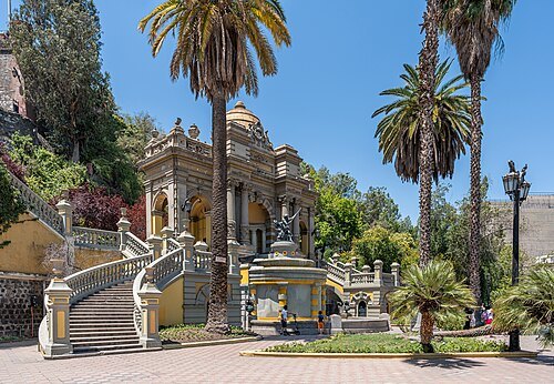
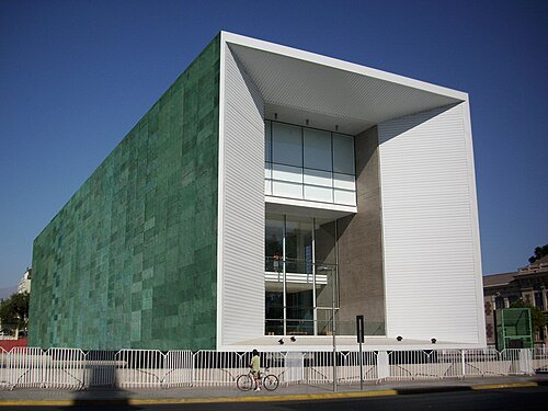 history museum
Museum of Memory and Human Rights
museum in Santiago de Chile
Getting there Nearest stop or station Quinta Normal, about 2 min on foot OpenStreetMap
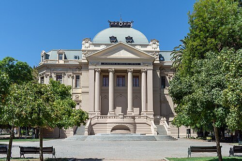
Carlos Figueroa Rojas / CC BY-SA 4.0
history museumSantiago Museum of Contemporary Art
art museum
Getting there Nearest stop or station Quinta Normal, about 3 min on foot OpenStreetMap
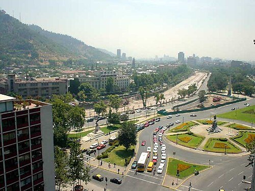
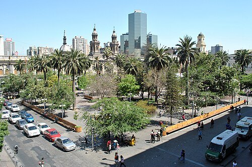
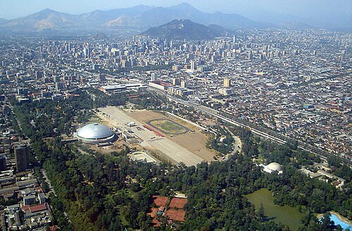
Andrés de la Cruz Bauerle / CC BY 2.5
urban parkO'Higgins Park
park in Santiago, Chile
Getting there Nearest stop or station Parque O'Higgins, about 7 min on foot OpenStreetMap
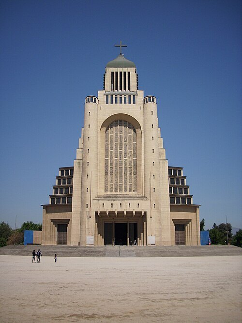
Jorge Barrios Riquelme / CC BY-SA 3.0
cultural propertyVotive Temple of Maipú
national monument of Chile
Getting there Nearest stop or station Plaza de Maipú, about 13 min on foot OpenStreetMap
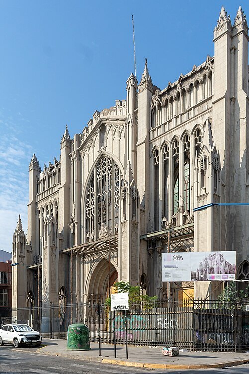 minor basilica
Basílica del Salvador
Santiago de Chile
Getting there Nearest stop or station Santa Ana, about 6 min on foot OpenStreetMap
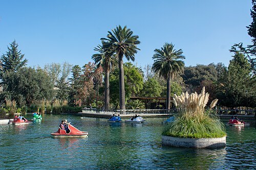
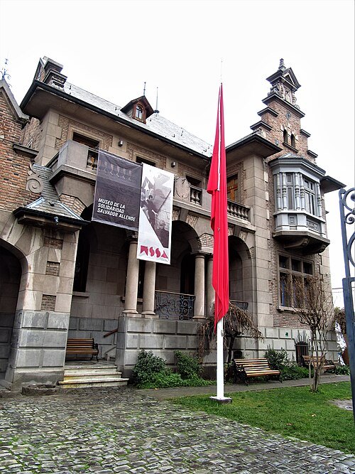
Felipe Restrepo Acosta / CC BY-SA 4.0
art museumMuseo de la Solidaridad Salvador Allende
contemporary art museum in Santiago, Chile
Getting there Nearest stop or station República, about 11 min on foot OpenStreetMap
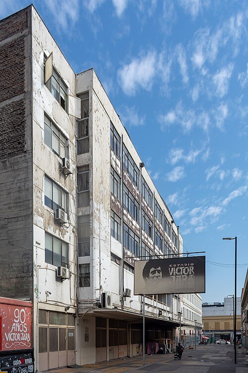
Carlos Figueroa Rojas / CC BY-SA 4.0
stadiumVíctor Jara Stadium
national monument of Chile
Getting there Nearest stop or station Unión Latinoamericana, about 3 min on foot OpenStreetMap
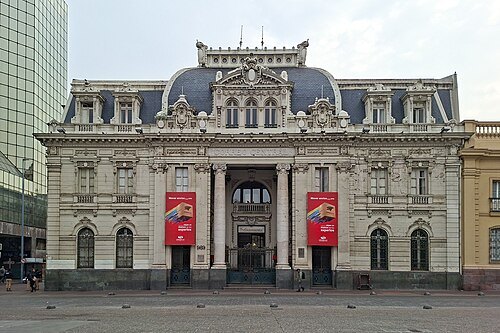 cultural property
Central Post Office Building
historic post office building in Santiago, Chile
Getting there Nearest stop or station Plaza de Armas, about 1 min on foot OpenStreetMap
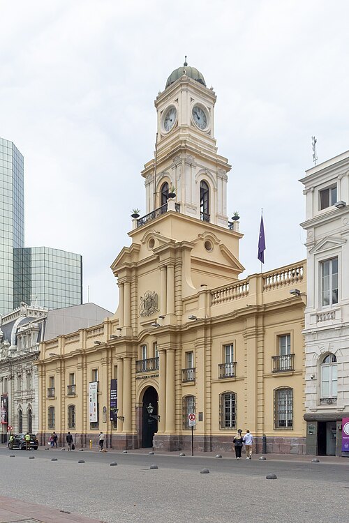 history museum
Chilean National History Museum
museum in Chile
Getting there Nearest stop or station Plaza de Armas, about 1 min on foot OpenStreetMap
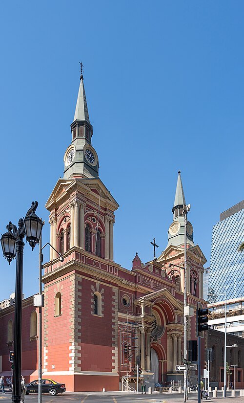 church building
Basilica de la Merced
national monument of Chile
Getting there Nearest stop or station Bellas Artes, about 5 min on foot OpenStreetMap
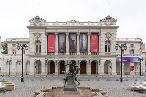
Carlos Figueroa Rojas / CC BY-SA 4.0
opera houseMunicipal Theatre of Santiago
opera house and cultural center in Santiago, Chile
Getting there Nearest stop or station Santa Lucía, about 5 min on foot OpenStreetMap
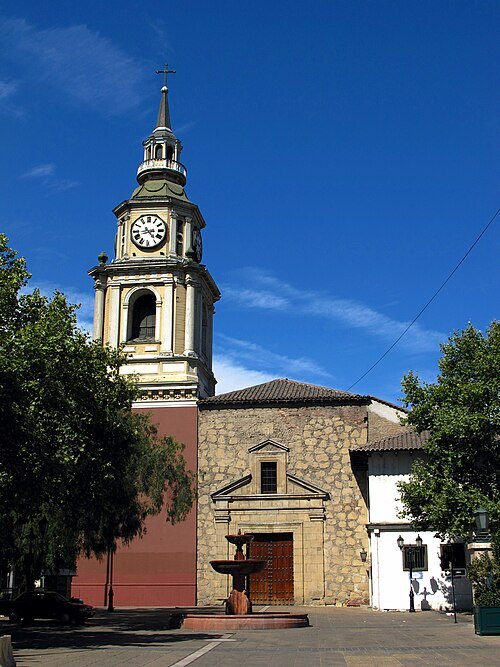 church building
San Francisco Church, Santiago de Chile
17th century Roman Catholic church in Santiago, Chile
Getting there Nearest stop or station Santa Lucía, about 4 min on foot OpenStreetMap
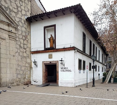 archaeological museum
Museo Colonial
museum in Santiago
Getting there Nearest stop or station Universidad de Chile, about 4 min on foot OpenStreetMap
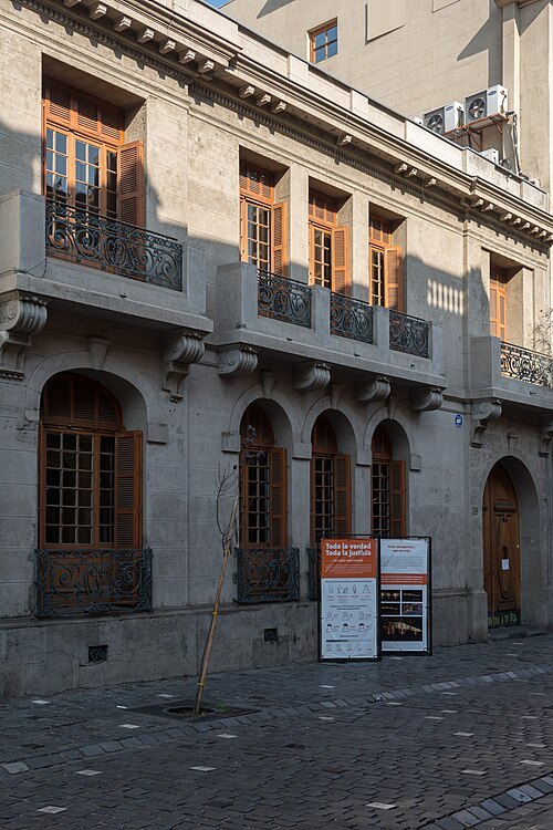
Carlos Figueroa Rojas / CC BY-SA 4.0
history museumLondres 38
national monument of Chile
Getting there Nearest stop or station Universidad de Chile, about 4 min on foot OpenStreetMap
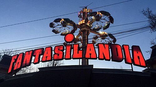
Jorge Barrios Riquelme / CC BY-SA 4.0
amusement parkFantasilandia
Amusement park, the largest and oldest in Chile
Getting there Nearest stop or station Parque O'Higgins, about 9 min on foot OpenStreetMap
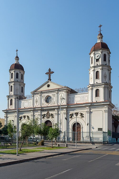
Carlos Figueroa Rojas / CC BY-SA 4.0
minor basilicaBasílica del Corazón de María, Santiago de Chile
national monument of Chile
Getting there Nearest stop or station Parque Almagro, about 7 min on foot OpenStreetMap
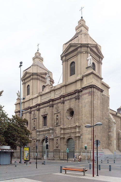
Carlos Figueroa Rojas / CC BY-SA 4.0
abbey churchSanto Domingo Church, Santiago de Chile
national monument of Chile
Getting there Nearest stop or station Plaza de Armas, about 3 min on foot OpenStreetMap
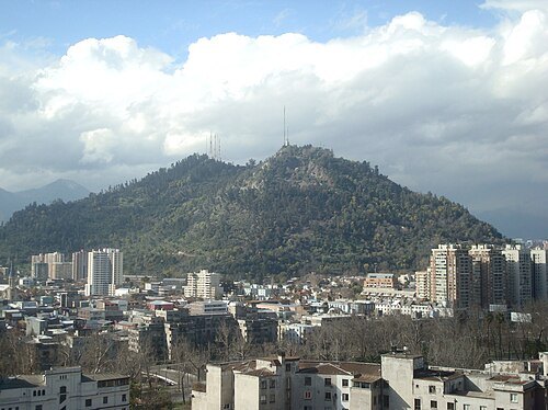 park
Santiago Metropolitan Park
urban park in Santiago, Chile
Getting there Nearest stop or station Cumbre, about 2 min on foot OpenStreetMap
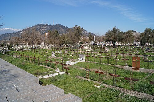 cemetery
Patio 29
national monument of Chile
Getting there Nearest stop or station Einstein, about 9 min on foot OpenStreetMap
Francisco Taibo / CC BY-SA 3.0
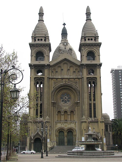
church buildingIglesia de los Sacramentinos
national monument of Chile
Getting there Nearest stop or station Parque Almagro, about 2 min on foot OpenStreetMap
ShootingStarMax / CC BY-SA 4.0
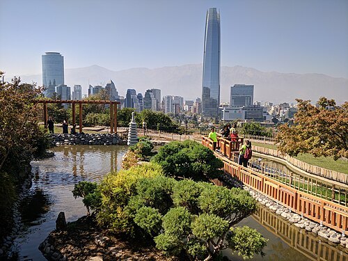
japanese gardenJardín Japonés de Santiago
Japanese Garden located in the Santiago Metropolitan Park
Getting there Nearest stop or station Oasis, about 2 min on foot OpenStreetMap
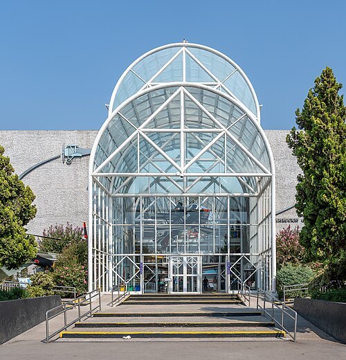 history museum
Museo Nacional Aeronáutico y del Espacio
aerospace museum in Santiago
Getting there Nearest stop or station Cerrillos, about 7 min on foot OpenStreetMap
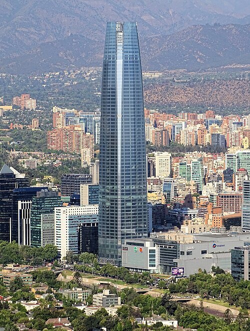
Bjørn Christian Tørrissen / CC BY-SA 4.0
tower blockGran Torre Costanera
skyscraper in Chile
Getting there Nearest stop or station Tobalaba, about 8 min on foot OpenStreetMap
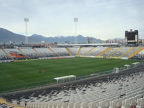 association football venue
Estadio Monumental
football stadium
Getting there Nearest stop or station Pedrero, about 10 min on foot OpenStreetMap
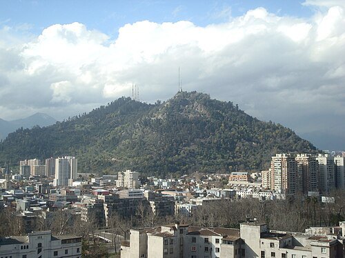 mountain
Cerro San Cristóbal
Santiago
Getting there Nearest stop or station Cumbre, about 2 min on foot OpenStreetMap
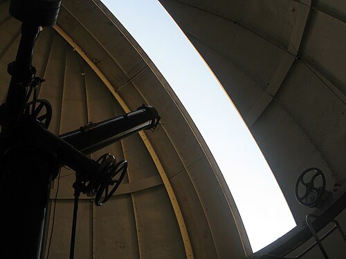
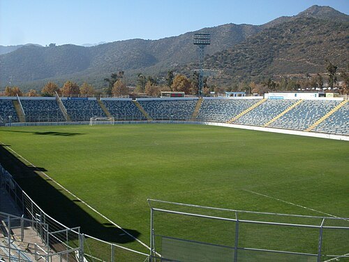
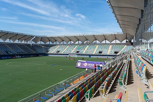 stadium
Estadio Bicentenario de La Florida
Chilean stadium
Getting there Nearest stop or station Trinidad, about 17 min on foot OpenStreetMap
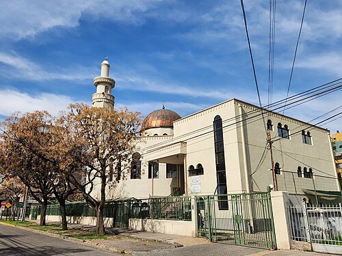 mosque
As-Salam Mosque
mosque in Ñuñoa, Santiago, Chile
Getting there Nearest stop or station Chile España, about 7 min on foot OpenStreetMap
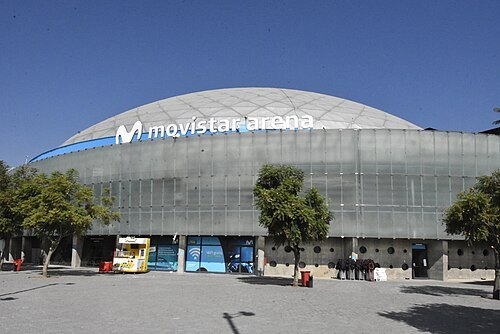 arena
Santander Arena
multipurpose indoor arena in Santiago, Chile
Getting there Nearest stop or station Parque O'Higgins, about 8 min on foot OpenStreetMap
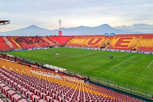 association football venue
Estadio Santa Laura-Universidad SEK
football stadium
Getting there Nearest stop or station Plaza Chacabuco, about 5 min on foot OpenStreetMap
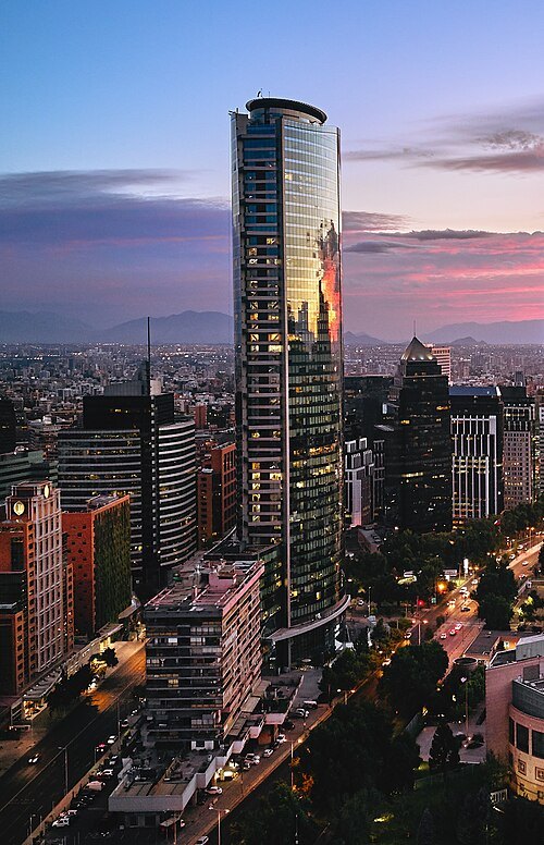 skyscraper
Titanium La Portada
skyscraper in Santiago, Chile
Getting there Nearest stop or station Tobalaba, about 9 min on foot OpenStreetMap
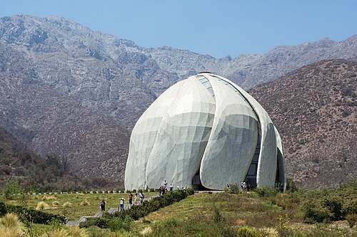
Carlos Figueroa / CC BY-SA 4.0
bahá'í templeBahá'í House of Worship for the South American continent
Bahá'í House of Worship in Peñalolen, Santiago, Chile
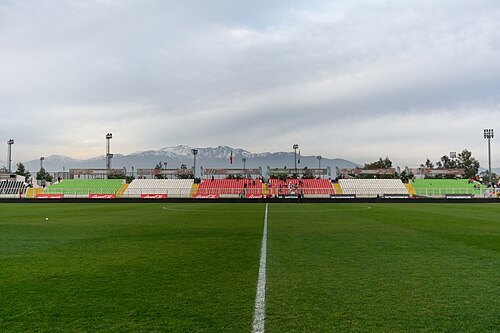 stadium
Estadio Municipal Sin Iluminacion
stadium
Getting there Nearest stop or station El Parrón, about 19 min on foot OpenStreetMap
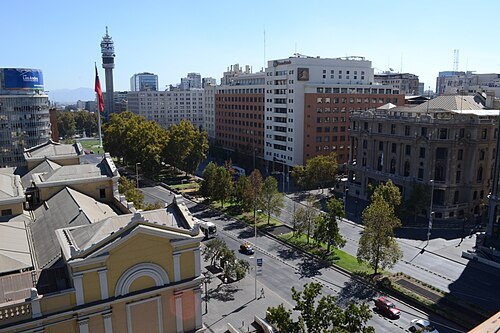 avenue
Avenida Libertador Bernardo O'Higgins
avenue in Santiago, Chile
Getting there Nearest stop or station Unión Latinoamericana, about 4 min on foot OpenStreetMap
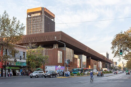 museum building
Centro Cultural Gabriela Mistral
cultural center in Santiago, Chile
Getting there Nearest stop or station Universidad Católica, about 1 min on foot OpenStreetMap
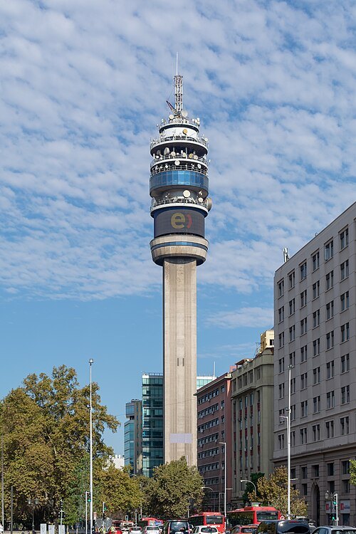
Carlos Figueroa / CC BY-SA 4.0
television towerTorre Entel
TV tower in Santiago de Chile
Getting there Nearest stop or station La Moneda, about 2 min on foot OpenStreetMap
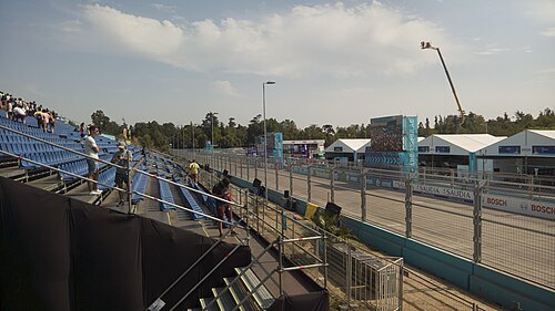 street circuit
Parque O'Higgins Circuit
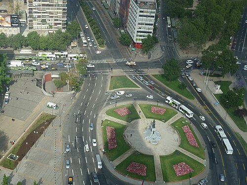
Christian Van Der Henst S. from San Francisco, USA / CC BY 2.0
street circuitSantiago Street Circuit
temporary street circuit in Santiago, Chile
Getting there Nearest stop or station Bellas Artes, about 7 min on foot OpenStreetMap
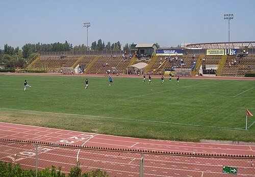
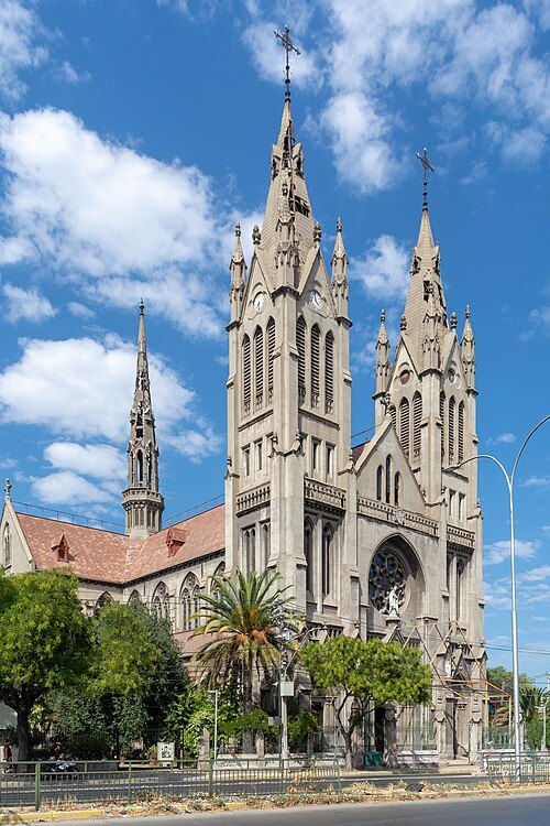
Carlos Figueroa Rojas / CC BY-SA 4.0
minor basilicaBasílica de Nuestra Señora del Perpetuo Socorro
Catholic Church in Santiago, Chile
Getting there Nearest stop or station Bus Terminal San Borja, about 10 min on foot OpenStreetMap
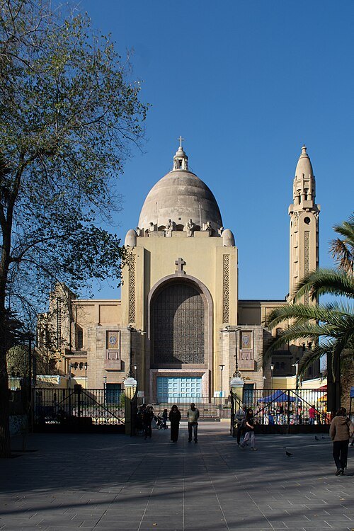
Carlos Figueroa Rojas / CC BY-SA 4.0
minor basilicaBasilica of Lourdes
church building in Quinta Normal, Chile
Getting there Nearest stop or station Gruta de Lourdes, about 7 min on foot OpenStreetMap
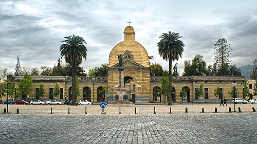 cemetery
Santiago General Cemetery
cemetery
Getting there Nearest stop or station Cementerios, about 8 min on foot OpenStreetMap
- stadium
Estadio Independencia
Stadium located in Santiago, Chile between 1945 and 1971
Getting there Nearest stop or station Plaza Chacabuco, about 3 min on foot OpenStreetMap
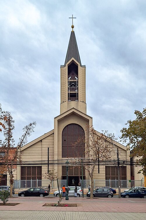
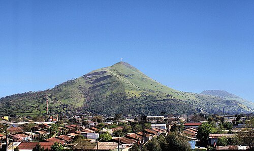
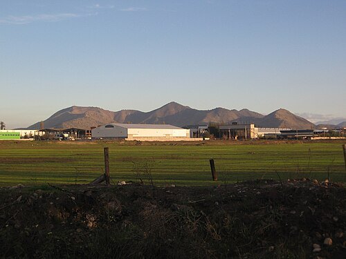 mountain
Cerro de Chena
mountain in Chile
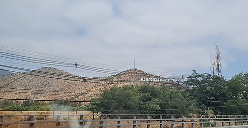 mountain range
Cerro Lo Aguirre
Hill in Santiago Metropolitan Region, Chile
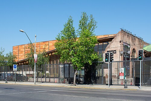
Carlos Figueroa Rojas / CC BY-SA 4.0
cultural centerCentro Cultural Matucana 100
cultural center in Santiago, Chile
Getting there Nearest stop or station Quinta Normal, about 9 min on foot OpenStreetMap


Places to eat
- restaurant
Mamut
Food: steak house
Nothing here matches that. Clear a filter and try again.
Opening hours and tickets: OpenStreetMap contributors. Each one shows the day a volunteer last wrote it down, so check the official site before you set out.