Rancagua: what to see and where to eat
Everything below comes from open data and each row says where it came from. We have not been to any of these places and we do not rank them.
Filters
Things to see
 archaeological site
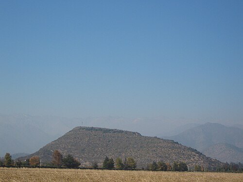
Pukara de La Compañia
archaeological site containing the remains of a promaucae fortress, later used by the Incas, located on the large hill overlooking the village of La Compañia, Graneros, Chile, It is the southernmost building which remains of the Inca Empire
- archaeological museum
Museo Regional de Rancagua
Getting there Nearest stop or station Terminal TurBus, about 15 min on foot OpenStreetMap
 cultural center
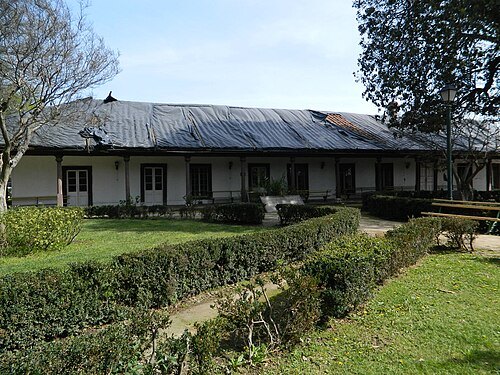
Casa patronal del fundo El Puente
national monument of Chile
Getting there Nearest stop or station Terminal TurBus, about 17 min on foot OpenStreetMap
Carlos Figueroa Rojas / CC BY-SA 4.0
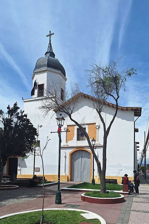
church buildingIglesia de la Merced, Rancagua
national monument of Chile
Getting there Nearest stop or station Terminal TurBus, about 16 min on foot OpenStreetMap
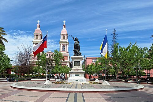
Carlos Figueroa Rojas / CC BY-SA 4.0
squarePlaza de los Héroes de Rancagua
Heroes' Square in Rancagua, Chile
Getting there Nearest stop or station Terminal TurBus, about 15 min on foot OpenStreetMap
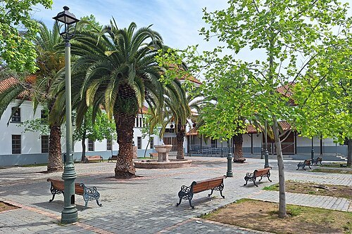
Carlos Figueroa Rojas / CC BY-SA 4.0
squarePlazuela Marcelino Champagnat
national monument of Chile
Getting there Nearest stop or station Terminal TurBus, about 15 min on foot OpenStreetMap
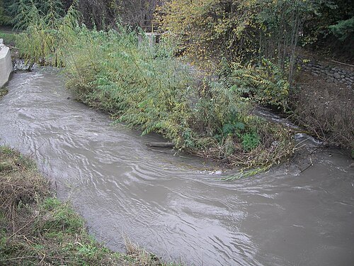
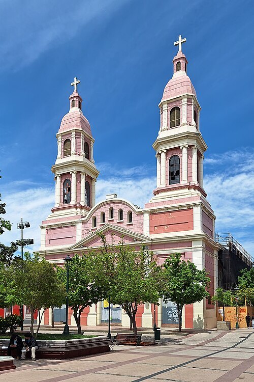
Carlos Figueroa Rojas / CC BY-SA 4.0
cathedralSagrario Cathedral
Cathedral in Rancagua, Chile
Getting there Nearest stop or station Terminal TurBus, about 15 min on foot OpenStreetMap
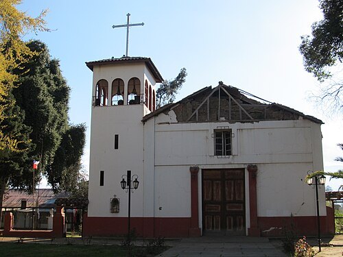
Marco Antonio Correa Flores / CC BY-SA 3.0
church buildingIglesia de Nuestra Señora de la Merced, Codegua
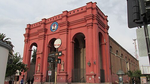
Marco Antonio Correa Flores / CC BY-SA 3.0
church buildingIglesia de San Francisco de Asís (Rancagua)
Rancagua
Getting there Nearest stop or station Terminal TurBus, about 17 min on foot OpenStreetMap
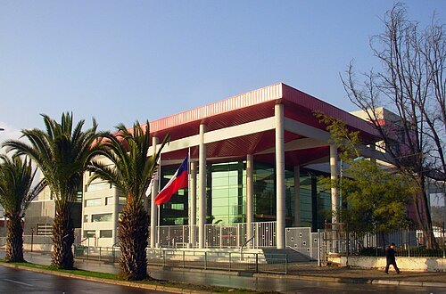 theatre building
Teatro Regional Lucho Gatica
theater in Rancagua, Chile
Getting there Nearest stop or station Terminal TurBus, about 18 min on foot OpenStreetMap
- lake
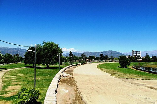
Laguna de Cauquenes
Marco Antonio Correa Flores / CC BY-SA 4.0
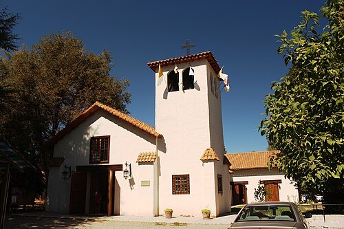
jesuit churchLa Compañía (church)
church in Graneros, Chile
Marco Antonio Correa Flores / CC BY-SA 4.0
parkParque Cataluña
park in Chile
Getting there Nearest stop or station Terminal O'Higgins, about 9 min on foot OpenStreetMap
- chapel
Chapel of Our Lady of the Angels (Rancagua)
future church in Rancagua, Chile
Getting there Nearest stop or station Terminal O'Higgins, about 9 min on foot OpenStreetMap
 mountain
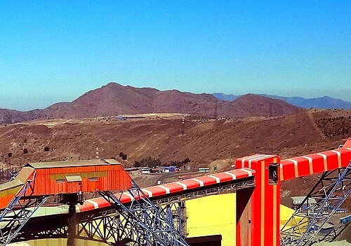
Cerro Alto Los Lunes
mountain in Chile
- river
Estero Seco
river in O'Higgins, Chile - Geonames ID = 3871060
- hill
Puntilla La Leonera
hill in O'Higgins, Chile
- mountain
Cerro Corontilla
mountain in O'Higgins, Chile
- stadium
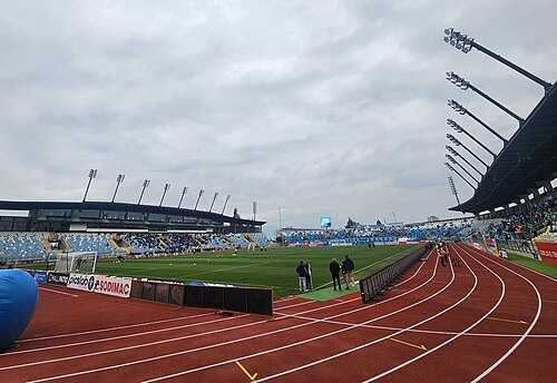
Estadio Municipal de Codegua
- mountain
Alto Romeral
mountain in Chile
- mountain
Cerro Negro
mountain in O'Higgins, Chile; geonames ID = 3878835
 mountain
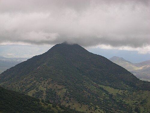
Cerro Tren Tren
mountain in Chile
- mountain pass
Portezuelo Rancagua
- mountain
Punta del Viento
mountain in O'Higgins' Chile
- river
Quebrada de Pangalillo
river in Chile
- river
Quebrada Piedra de la Mesa
river in Chile
- mountain
Alto Los Retamos
mountain in Chile
- mountain
Alto Llivillivi
mountain in Chile
- mountain
Cerro Las Petacas
mountain in Chile
- mountain
Punta de Las Vizcachas
mountain in Chile
- hill
Puntilla La Bandera
hill in O'Higgins, Chile
- hill
Cerro Corredor de Piedra
hill in O'Higgins, Chile
- mountain
Cerro de Copequen
mountain in O'Higgins, Chile
 mountain
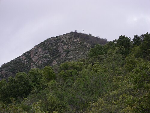
Morro del Chivato
- mountain
Cerro Cardos
mountain in O'Higgins, Chile
- mountain
Cerro Blanco
mountain in O'Higgins, Chile
- venue
La Gamboína
Getting there Nearest stop or station Terminal de Buses Manzanal, about 9 min on foot OpenStreetMap
- association football venue
Estadio Municipal de Rancagua
multi-purpose stadium in Rancagua, Chile
Getting there Nearest stop or station Rodoviario Rancagua, about 18 min on foot OpenStreetMap
- mountain
Morro Mocho
mountain in Chile
- mountain
Morro Punta Alta
mountain in Chile
- mountain
Cerro Placeta del Quilal
mountain in Chile
- mountain
Cerro Risco Bayo
mountain in O'Higgins, Chile
- mountain
Cerro Tuncahue
mountain in Chile
- mountain
Cerro Tuniche
mountain in Chile
- river
Quebrada Mina de Cuentas
river in Chile
- hill
Cerro Los Marcos
hill in O'Higgins, Chile
- mountain
Cerro Los Canelos
mountain in Chile
- mountain
Cerro Los Colihues
mountain in Chile
- mountain
Risco Lawrence
mountain in Chile
- hill
Cerro Las Hormigas
hill in O'Higgins, Chile
- mountain
Cerro Las Cabras
mountain in O'Higgins, Chile
- mountain
Cerro La Greda
mountain in O'Higgins, Chile
- mountain
Cerro La Campana
mountain in O'Higgins, Chile
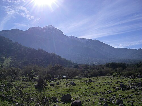 mountain
Cerro Huilmay
mountain in Chile
- mountain
Cerro Hornillas
mountain in Chile
- hill
Cerro Grande
hill in O'Higgins, Chile - Geonames ID=3888829
- mountain
Cerro El Romero
mountain in O'Higgins, Chile


Places to eat
- restaurant
Fuente Millan
Food: international
- restaurant
Torito Parrilla
Food: steak house
Nothing here matches that. Clear a filter and try again.
Opening hours and tickets: OpenStreetMap contributors. Each one shows the day a volunteer last wrote it down, so check the official site before you set out.