Punta Arenas: what to see and where to eat
Everything below comes from open data and each row says where it came from. We have not been to any of these places and we do not rank them.
Filters
Things to see
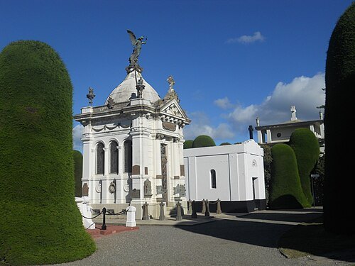 cemetery
Cemetery of Punta Arenas
cemetery in Punta Arenas, Chile
Getting there Nearest stop or station Buses Barría, about 10 min on foot OpenStreetMap
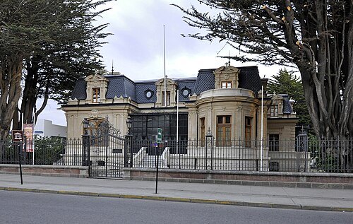 archaeological museum
Regional museum of Magallanes
historic house and museum in Punta Arenas, Chile
Getting there Nearest stop or station Terminal Bus Sur, about 4 min on foot OpenStreetMap
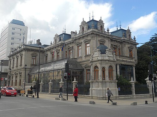 historic house museum
Palacio Sara Braun
historic house museum in Punta Arenas, Chile
Getting there Nearest stop or station Terminal Bus Sur, about 5 min on foot OpenStreetMap
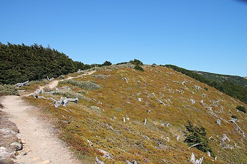 scenic viewpoint
Zapador Austral
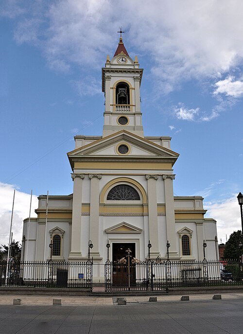
Robert Cutts from Bristol, England, UK / CC BY-SA 2.0
cathedralSacred Heart Cathedral, Punta Arenas
church in Punta Arenas, Chile
Getting there Nearest stop or station Terminal Bus Sur, about 7 min on foot OpenStreetMap
 river
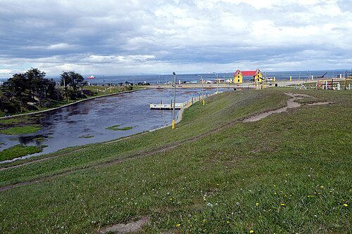
Las Minas River
river in Punta Arenas, Chile
Getting there Nearest stop or station Buses Pacheco, about 13 min on foot OpenStreetMap
 park
Maria Behety Park
park in Magellan and the Chilean Antarctic Region, Chile
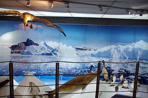 natural history museum
Museo Salesiano Maggiorino Borgatello
Museum in Punta Arenas, Chile
Getting there Nearest stop or station Buses Barría, about 7 min on foot OpenStreetMap
- sports venue
Estadio Municipal Antonio Ríspoli Díaz
stadium in Punta Arenas, Chile
Getting there Nearest stop or station Buses Barría, about 12 min on foot OpenStreetMap
- river
Tres Brazos River
river in Chile
- lake
Laguna Lynch
- river
Leñadura River
watercourse in Chile
- river
Estero Río Seco
river in Chile
- hill
Cerro Beech
hill in Magellan and the Chilean Antarctic Region, Chile
- peninsula
Punta Arenosa
peninsula in Magallanes Region, Chile
- mountain
Cerro Mina Rica
mountain in Chile
- hill
Cuchillo Los Capones
hill in Magellan and the Chilean Antarctic Region, Chile
- mountain
Cerro Laurita
mountain in Chile
- peninsula
Punta Guayrabo
peninsula in Magallanes Region, Chile
- mountain
Monte Fenton
mountain in Chile
- hill
Cerro Charqueria
hill in Magellan and the Chilean Antarctic Region, Chile
- peninsula
Punta de los Ciervos
peninsula in Magallanes Region, Chile
- peninsula
Punta El Quince
peninsula in Magallanes Region, Chile
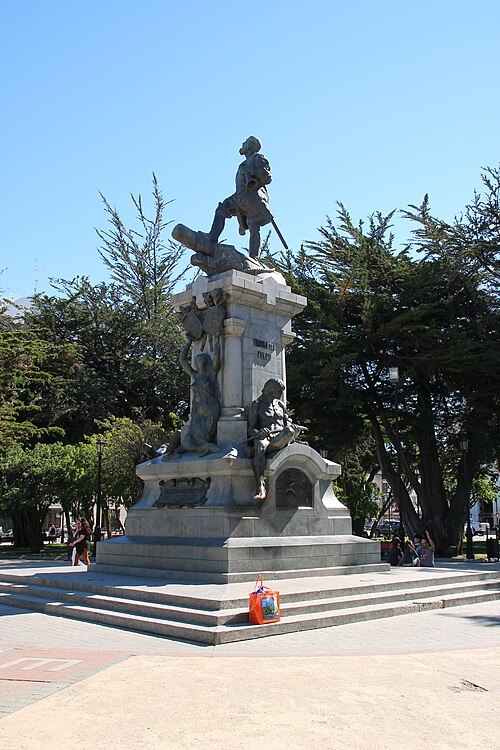 monument
Monument to Ferdinand Magellan
sculpture in Punta Arenas, Chili
Getting there Nearest stop or station Terminal Bus Sur, about 6 min on foot OpenStreetMap
- museum
Museo de la Inmigración Croata en Magallanes
Getting there Nearest stop or station Buses Pacheco, about 8 min on foot OpenStreetMap


Places to eat
Nothing here matches that. Clear a filter and try again.
Opening hours and tickets: OpenStreetMap contributors. Each one shows the day a volunteer last wrote it down, so check the official site before you set out.