Puerto Montt: what to see and where to eat
Everything below comes from open data and each row says where it came from. We have not been to any of these places and we do not rank them.
Filters
Things to see
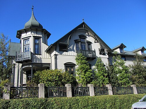
Rodrigo Fernández / CC BY-SA 3.0
cultural propertyCasa Kuschel
mansion house in Puerto Varas, Chile
Getting there Nearest stop or station Puerto Varas, about 2 min on foot OpenStreetMap
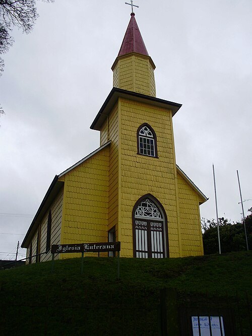
Natalia Aceituno / CC BY-SA 3.0
church buildingTemplo luterano de Puerto Varas
national monument of Chile
Getting there Nearest stop or station Terminal de Buses Cruz del Sur, about 17 min on foot OpenStreetMap
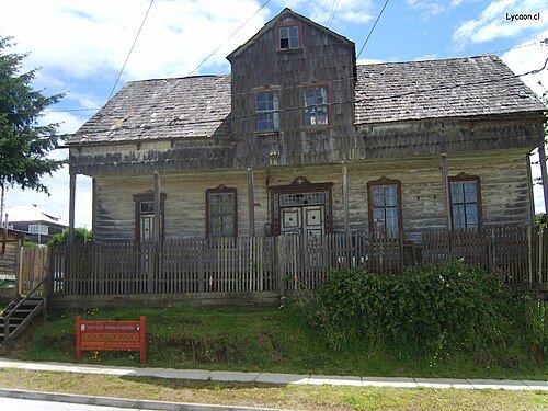 cultural property
Casa Maldonado, Puerto Varas
national monument of Chile
Getting there Nearest stop or station Terminal TurBus, about 5 min on foot OpenStreetMap
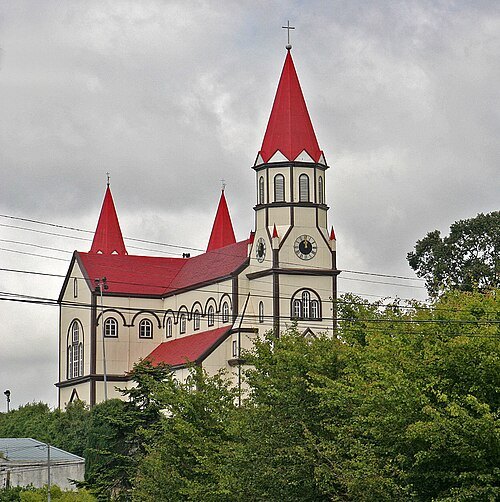 church building
Iglesia del Sagrado Corazón de Jesús, Puerto Varas
historic Roman Catholic church in Puerto Varas, Chile
Getting there Nearest stop or station Terminal de Buses Cruz del Sur, about 8 min on foot OpenStreetMap
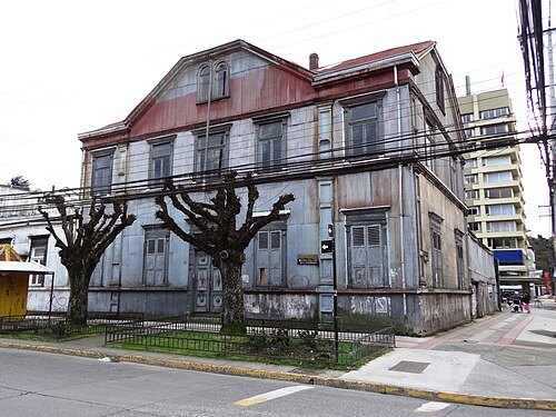
Rodolfo Ditzel Lacoa / CC BY-SA 3.0
cultural propertyCasa Pauly
national monument of Chile
Getting there Nearest stop or station Terminal de Buses Puerto Montt, about 15 min on foot OpenStreetMap
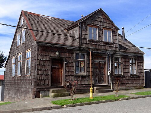 cultural property
Casa Götschlich
national monument of Chile
Getting there Nearest stop or station Terminal TurBus, about 2 min on foot OpenStreetMap
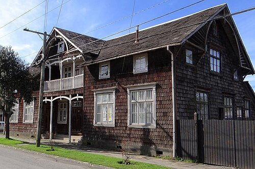 cultural property
Casa Yunge
national monument of Chile
Getting there Nearest stop or station Terminal TurBus, about 4 min on foot OpenStreetMap
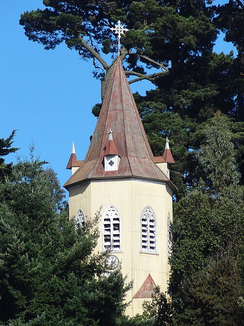
Rodolfo Ditzel Lacoa / CC BY-SA 3.0
cultural propertyTorre campanario del colegio San Francisco Javier
national monument of Chile
Getting there Nearest stop or station Terminal de Buses Puerto Montt, about 14 min on foot OpenStreetMap
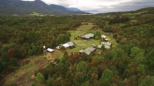
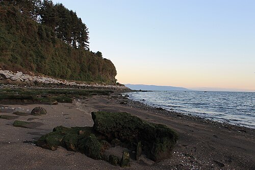 cultural property
Bosque fósil de Punta Pelluco
national monument of Chile
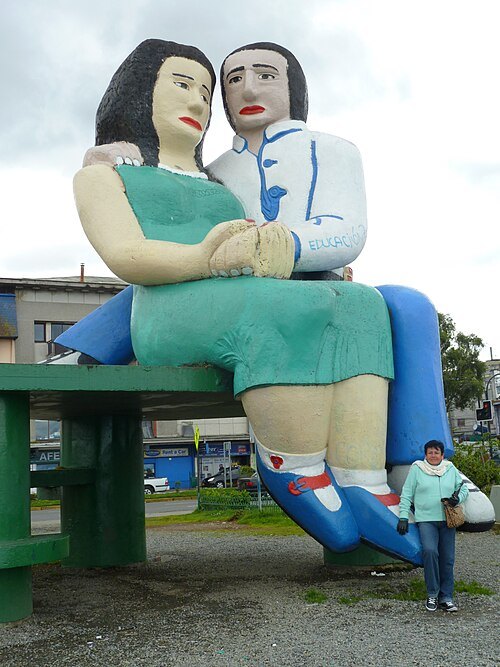 statue
Sentados frente al mar
Statue
Getting there Nearest stop or station Terminal de Buses Puerto Montt, about 12 min on foot OpenStreetMap
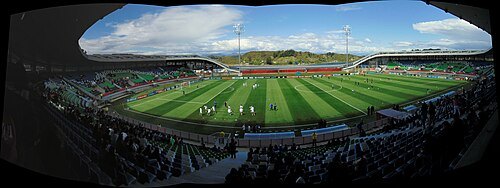 stadium
Estadio Bicentenario de Chinquihue
stadium in Puerto Montt
Getting there Nearest stop or station Balseo Los Torreones, about 15 min on foot OpenStreetMap
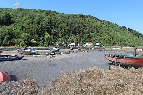
Ministerio Bienes Nacionales / CC BY 2.0
islandTenglo Island
island in Chile
Getting there Nearest stop or station Balseo a isla Tenglo, about 18 min on foot OpenStreetMap
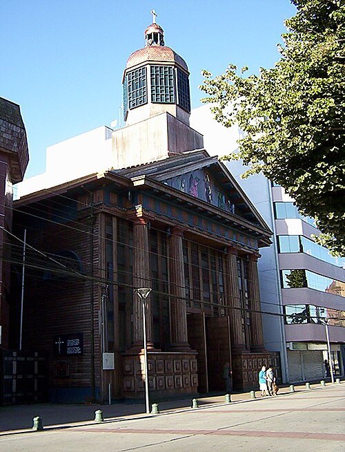
Macarena Collell / Public domain
cathedralCathedral of Puerto Montt
church in Puerto Montt, Chile
Getting there Nearest stop or station Terminal de Buses Puerto Montt, about 16 min on foot OpenStreetMap
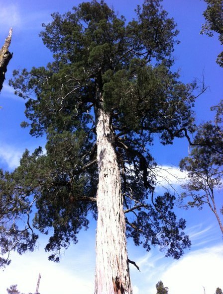
- river
Rio Negro (Maullin)
Tributary of Maullin River in Los Lagos Region, Chile
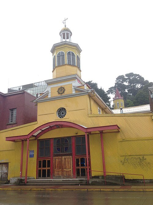 jesuit church
Iglesia de los Padres Jesuitas, Puerto Montt
Getting there Nearest stop or station Terminal de Buses Puerto Montt, about 14 min on foot OpenStreetMap
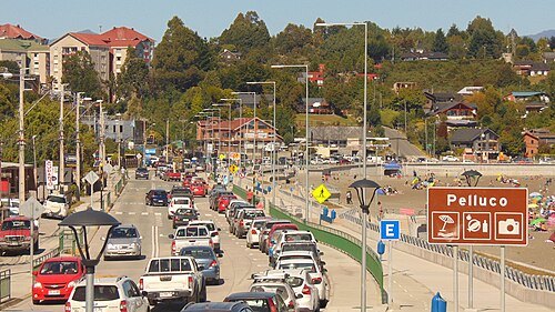 spa town
Pelluco
human settlement in Chile
- art museum
Historical Museum of Puerto Montt
Getting there Nearest stop or station Terminal de Buses Puerto Montt, about 2 min on foot OpenStreetMap
- hill
Cerro Philippi
hill in Los Lagos Region, Chile
Getting there Nearest stop or station Puerto Varas, about 10 min on foot OpenStreetMap
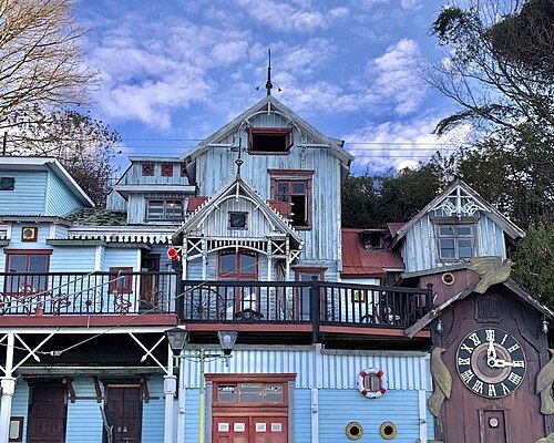 museum
Pablo Fierro museum
Museum of Chile
Getting there Nearest stop or station Terminal de Buses Cruz del Sur, about 13 min on foot OpenStreetMap
- theatre festival
Temporales Internacionales de Teatro
Getting there Nearest stop or station Terminal de Buses Puerto Montt, about 17 min on foot OpenStreetMap
- hill
Alto de la Paloma
hill in Los Lagos Region, Chile
- cultural center
Casa del Arte Diego Rivera
Getting there Nearest stop or station Terminal de Buses Puerto Montt, about 17 min on foot OpenStreetMap
- river
De la Zorra River
river in Chile
- river
Estero Pilluco
river in Chile
- peninsula
Isla Quillaipe
peninsula in Los Lagos Region, Chile
- peninsula
Punta Mutrihue
peninsula in Los Lagos Region, Chile
- peninsula
Punta Panitao
peninsula in Los Lagos Region, Chile
- peninsula
Punta Pelada
peninsula in Los Lagos Region, Chile
- peninsula
Punta Pilluco
peninsula in Los Lagos Region, Chile
- peninsula
Punta Quillaipe
peninsula in Los Lagos Region, Chile
- peninsula
Punta San Pedro
peninsula in Los Lagos Region, Chile; geonames ID = 3871797
- peninsula
Punta Surgidero
peninsula in Los Lagos Region, Chile
- peninsula
Punta Ilque
peninsula in Los Lagos Region, Chile
- peninsula
Punta Hondable
peninsula in Los Lagos Region, Chile
- island
Isla Chincui
island in Los Lagos Region, Chile
- peninsula
Punta Cementerio
peninsula in Los Lagos Region, Chile
- island
Islita Caullaguapi
Getting there Nearest stop or station Transportes Chinquihue Ltda, about 7 min on foot OpenStreetMap
- peninsula
Isla Capeaguapi
peninsula in Los Lagos Region, Chile
- peninsula
Punta Puchegui
peninsula in Los Lagos Region, Chile
- island
Isla Capenguapi
- island
Isla Caullahuapi
island in Los Lagos Region, Chile
- island
Isla Chincui
- island
Islas Las Rocas
island in Los Lagos Region, Chile
- hill
Cerro Cumbre Vistosa
hill in Los Lagos Region, Chile
- island
Isla Chacalluta
island in Los Lagos Region, Chile
Getting there Nearest stop or station Transportes Chinquihue Ltda, about 19 min on foot OpenStreetMap
- peninsula
Punta Coles
peninsula in Los Lagos Region, Chile
- peninsula
Punta Santo Domingo
peninsula in Los Lagos Region, Chile
- island
Isla El Colle
island in Los Lagos Region, Chile
- peninsula
Punta Tenglo
peninsula in Los Lagos Region, Chile
- hill
Alto Panitao
hill in Los Lagos Region, Chile
- island
Capehuapi
island
- island
Chinquío Island


Places to eat
- restaurant
El Fogón de Pepe
Food: steak house
- restaurant
Fogón de Momo
Food: seafood, regional, pasta, local, grill
- restaurant
La Horneria Pizzería
Food: pizza
- restaurant
Sabor Peruano
Food: peruvian, fish, chicken, seafood
- cafe
Juan Valdez Café
Food: coffee shop
Nothing here matches that. Clear a filter and try again.
Opening hours and tickets: OpenStreetMap contributors. Each one shows the day a volunteer last wrote it down, so check the official site before you set out.