Pichilemu: what to see and where to eat
Everything below comes from open data and each row says where it came from. We have not been to any of these places and we do not rank them.
Filters
Things to see
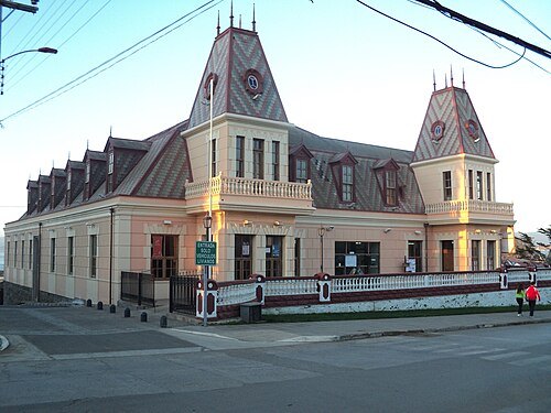 cultural property
Agustín Ross Cultural Centre
cultural centre in Chile
Getting there Nearest stop or station Terminal de Buses Pichilemu, about 11 min on foot OpenStreetMap
- cultural property
Túnel El Árbol
national monument of Chile
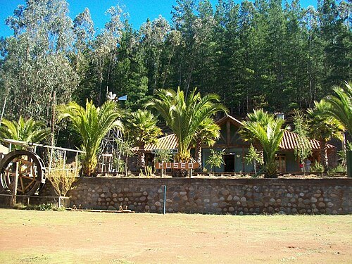
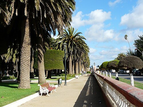
Javier Rubilar from santiago, chile / CC BY-SA 2.0
cultural propertyPichilemu Historical Area
national monument of Chile
Getting there Nearest stop or station Terminal de Buses Pichilemu, about 9 min on foot OpenStreetMap
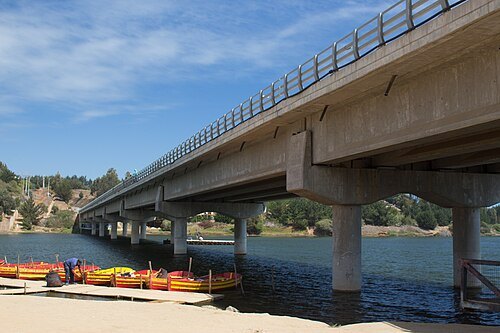
Marco Antonio Correa Flores / CC BY-SA 4.0
lagoonCáhuil Lagoon
Chilean lagoon
- lagoon
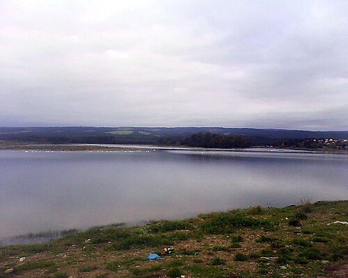
Laguna El Ancho
reservoir near Pichilemu, Chile
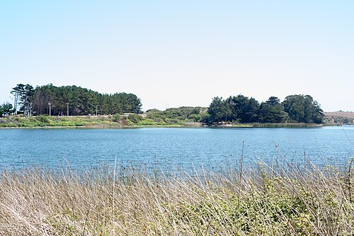
Carlos Figueroa / CC BY-SA 4.0
lagoonLaguna El Perro
near Pichilemu, Chile
- mountain
Pico Viejo
mountain in Chile
- mountain
Placetas
mountain in Chile
- mountain
Alto de Quillay
mountain in Chile
- mountain
Santa Rosa
mountain in Chile
- river
Estero Poza del Toro
river in Chile
- mountain
Cerro Piedras Blancas
mountain in O'Higgins, Chile; geonames ID = 3876074
- mountain
Palo Amarillo
mountain in Chile
- mountain
Palo Blanco
hill in Chile
- mountain
Cerro Santa Irene
mountain in Chile
- mountain
Cerro Socavo
mountain in Chile
- mountain
Cerro Tiuques
mountain in Chile
- river
Quebrada del Romeral
river in Chile
- mountain
Santa Cornelia
mountain in Chile
- hill
Matamulas
hill in O'Higgins, Chile
- hill
Los Perales
hill in O'Higgins, Chile
- hill
Los Arrayanes
hill in O'Higgins, Chile
- hill
La Palma
hill in O'Higgins, Chile
- hill
El Peumo
hill in O'Higgins, Chile
- hill
Cerro Desbarrancado
hill in O'Higgins, Chile
- hill
Cerro Deslindes
hill in O'Higgins, Chile
- peninsula
Punta Cueva Negra
peninsula in O'Higgins, Chile
- hill
Coliguayes
hill in O'Higgins, Chile
- hill
Centenario
hill in O'Higgins, Chile
- hill
Alto Centinela
hill in O'Higgins, Chile
- mountain
Cerro Centinela
mountain in O'Higgins' Chile
- peninsula
Punta Centinela
peninsula in O'Higgins, Chile
- hill
Alto de los Buitres
hill in O'Higgins, Chile
- hill
Loma Ancha
hill in O'Higgins, Chile
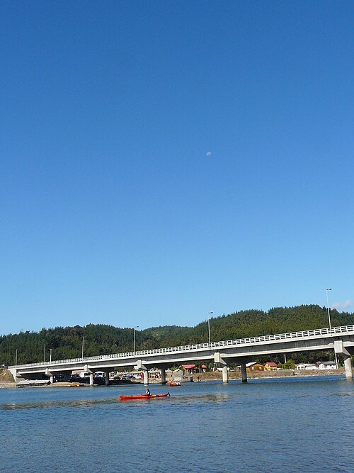
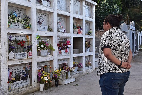
Diego Grez al CORE Cardenal Caro 24 / CC BY 2.0
cemeteryPichilemu Cemetery
cemetery in Pichilemu, Chile
- river
Estero de Nilahue
river in Chile
- mountain
Cerro Nuevo Reino
mountain in Chile
- mountain
Cerro Puerta Pesada
mountain in Chile
- mountain
Peralillo
mountain in Chile
- mountain
Puente Negro
mountain in Chile
- peninsula
Punta Pichilem
peninsula in O'Higgins, Chile
Getting there Nearest stop or station Terminal de Buses Pichilemu, about 11 min on foot OpenStreetMap
- peninsula
Punta Sirena
peninsula in O'Higgins, Chile
- mountain
Puntilla Pichilem
mountain in Chile
- river
Quebrada de los Potreros
river in Chile
- mountain
Loma del Puesto
mountain in Chile
- lagoon
Laguna de Los Lobos
- hill
Los Cerrillos
hill in Cardenal Caro, Chile (34.38S 71.95W)
- peninsula
Punta Lobos
- hill
La Trilla
hill in O'Higgins, Chile
- hill
Lagunilla
hill in O'Higgins, Chile
- hill
La Cruz
hill in O'Higgins, Chile - Geonames ID=3886181
- beach
Playa Hermosa
beach in Chile
- hill
Cerro Grande
hill in O'Higgins, Chile
- hill
El Hierro
hill in O'Higgins, Chile
- hill
El Alto
hill in O'Higgins, Chile
- mountain pass
Paso del Durazno
mountain pass in O'Higgins, Chile
- hill
Comillas
hill in O'Higgins, Chile


Places to eat
No eating place in this city lists its cuisine and opening hours yet.
Nothing here matches that. Clear a filter and try again.
Opening hours and tickets: OpenStreetMap contributors. Each one shows the day a volunteer last wrote it down, so check the official site before you set out.