Ho Chi Minh City: what to see and where to eat
Everything below comes from open data and each row says where it came from. We have not been to any of these places and we do not rank them.
Filters
Things to see
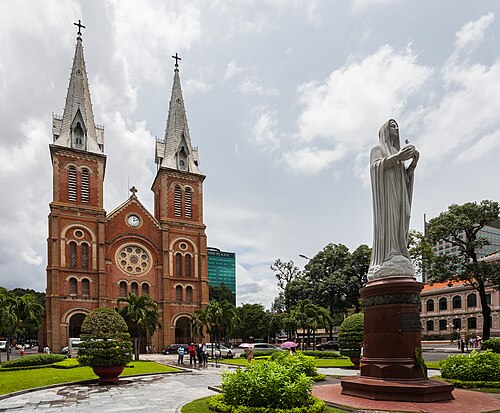 minor basilica
Saigon Notre-Dame Basilica
cathedral located in Ho Chi Minh City, Vietnam
Getting there Nearest stop or station Opera House Station, about 9 min on foot OpenStreetMap
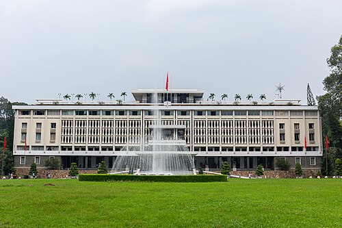 presidential palace
Independence Palace
Presidential Palace of South Vietnam
Getting there Nearest stop or station Tao Đàn (dự kiến), about 11 min on foot OpenStreetMap
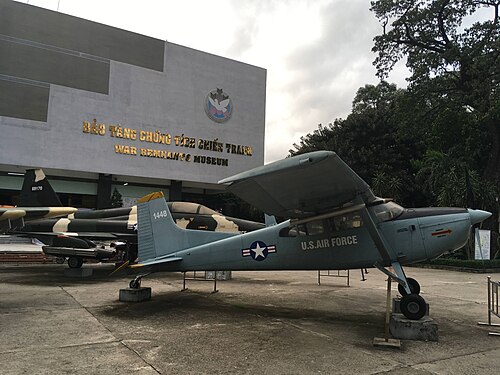 military museum
War Remnants Museum
military museum in Vietnam
Getting there Nearest stop or station Tao Đàn (dự kiến), about 11 min on foot OpenStreetMap
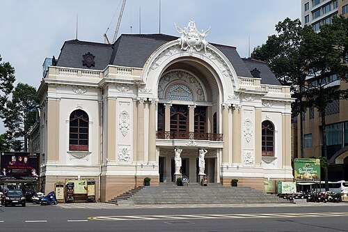 opera house
Saigon Opera House
opera house in Ho Chi Minh City, Vietnam
Getting there Nearest stop or station Opera House Station, about 2 min on foot OpenStreetMap
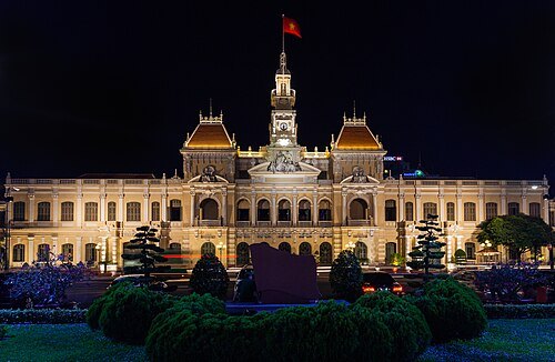 city hall
Ho Chi Minh City Hall
city hall of Ho Chi Minh City, Vietnam
Getting there Nearest stop or station Opera House Station, about 3 min on foot OpenStreetMap
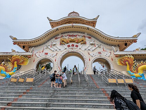 amusement park
Suối Tiên Theme Park
amusement park in Ho Chi Minh city, Vietnam
Getting there Nearest stop or station National University, about 5 min on foot OpenStreetMap
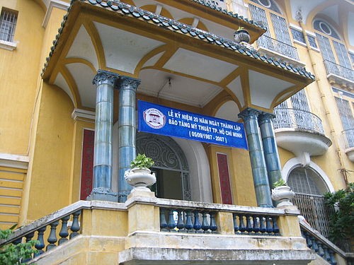 art museum
Ho Chi Minh City Museum of Fine Arts
art museum in Vietnam
Getting there Nearest stop or station Nhà Xe Hoa Mai, about 1 min on foot OpenStreetMap
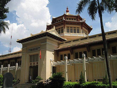
Nguyễn Thanh Quang / CC BY-SA 3.0
museumHo Chi Minh City Museum of History
history museum in Ho Chi Minh City, Vietnam
Getting there Nearest stop or station Ba Son Station, about 5 min on foot OpenStreetMap
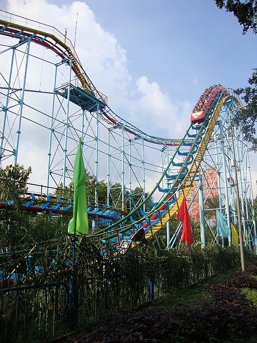 amusement park
Dam Sen Cultural Park
park in Vietnam
Getting there Nearest stop or station Bến xe Đầm Sen, about 5 min on foot OpenStreetMap
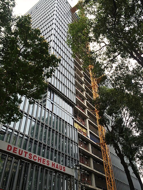 tower block
Deutsches Haus Ho Chi Minh City
buildings in Ho Chi Minh City, Vietnam
Getting there Nearest stop or station Opera House Station, about 12 min on foot OpenStreetMap
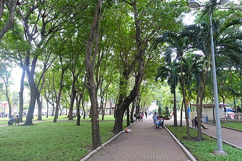 urban park
September 23 Park
public park in central Ho Chi Minh City, Vietnam
Getting there Nearest stop or station Ben Thanh Station, about 7 min on foot OpenStreetMap
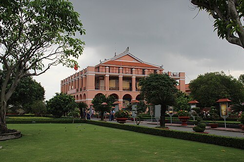 monument
Dragon House
historic house museum in District 4, Ho Chi Minh City
Getting there Nearest stop or station Sai Gon Hydrofoil Terminal, about 4 min on foot OpenStreetMap
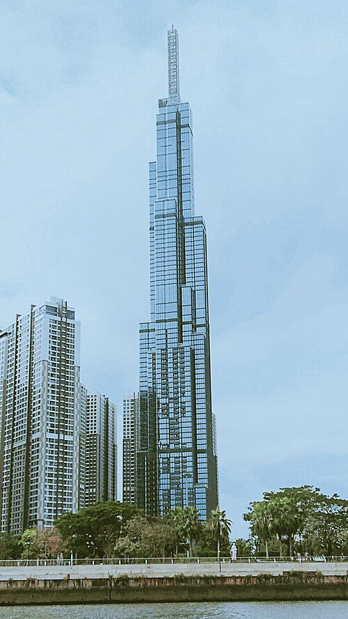 skyscraper
Landmark 81
skyscraper
Getting there Nearest stop or station Tan Cang Station, about 7 min on foot OpenStreetMap
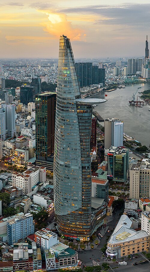 skyscraper
Bitexco Financial Tower
architectural structure
Getting there Nearest stop or station Ga Hàm Nghi, about 2 min on foot OpenStreetMap
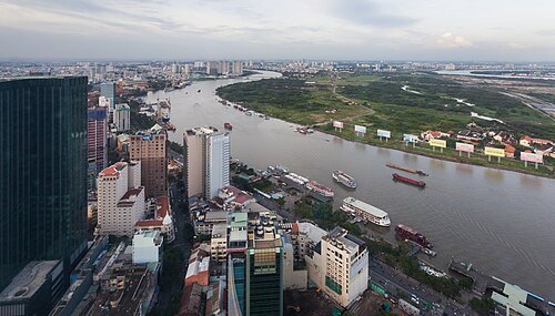
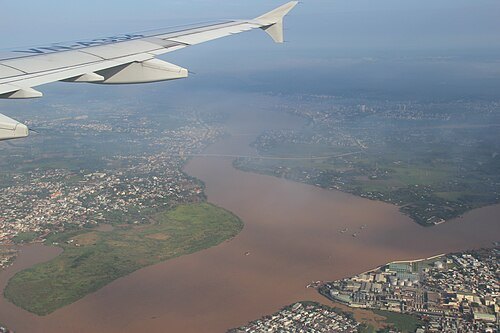
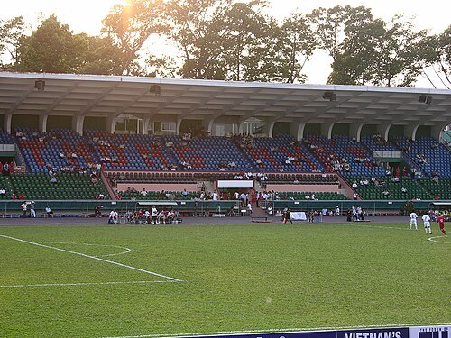 stadium
Thong Nhat Stadium
stadium in Ho Chi Minh City, Vietnam
Getting there Nearest stop or station Xe Khách Thanh Phương Ngân, about 11 min on foot OpenStreetMap
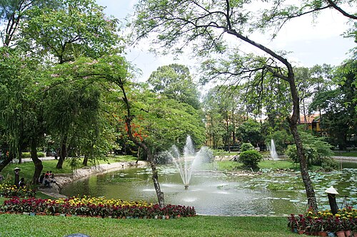
Hoangvantoanajc / CC BY-SA 3.0
zooSaigon Zoo and Botanical Gardens
zoo in District , Ho Chi Minh City
Getting there Nearest stop or station Bên Thuyên Nội Dô City Boat Station, about 7 min on foot OpenStreetMap
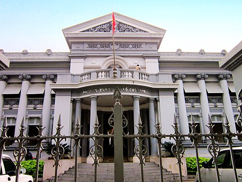
Bùi Thụy Đào Nguyên / CC BY-SA 3.0
museumMuseum of Ho Chi Minh City
museum in Ho Chi Minh, Vietnam
Getting there Nearest stop or station Opera House Station, about 4 min on foot OpenStreetMap
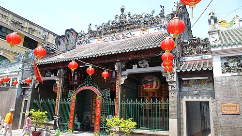
Christopher from Shanghai, China / CC BY 2.0
chinese templeThien Hau Temple
Chinese-style temple in Ho Chi Minh City, Vietnam
Getting there Nearest stop or station Nhà Xe Hiệp Thành, about 6 min on foot OpenStreetMap
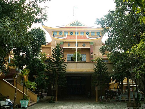 buddhist temple
Xá Lợi Pagoda
Buddhist temple in Vietnam
Getting there Nearest stop or station Tao Đàn (dự kiến), about 10 min on foot OpenStreetMap
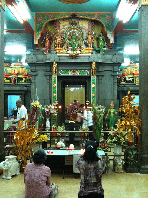 hindu temple
Mariamman Temple, Ho Chi Minh City
Hindu temple in Vietnam
Getting there Nearest stop or station Ben Thanh Station, about 5 min on foot OpenStreetMap
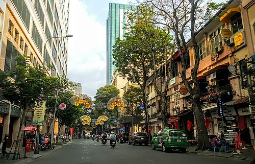 street
Dong Khoi Street
street in downtown Ho Chi Minh City, Vietnam
Getting there Nearest stop or station Opera House Station, about 2 min on foot OpenStreetMap
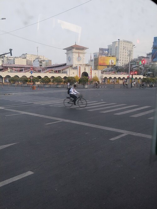 street
Pham Ngu Lao Street
street in Ho Chi Minh City, Vietnam
Getting there Nearest stop or station Bến xe buýt Sài Gòn, about 6 min on foot OpenStreetMap
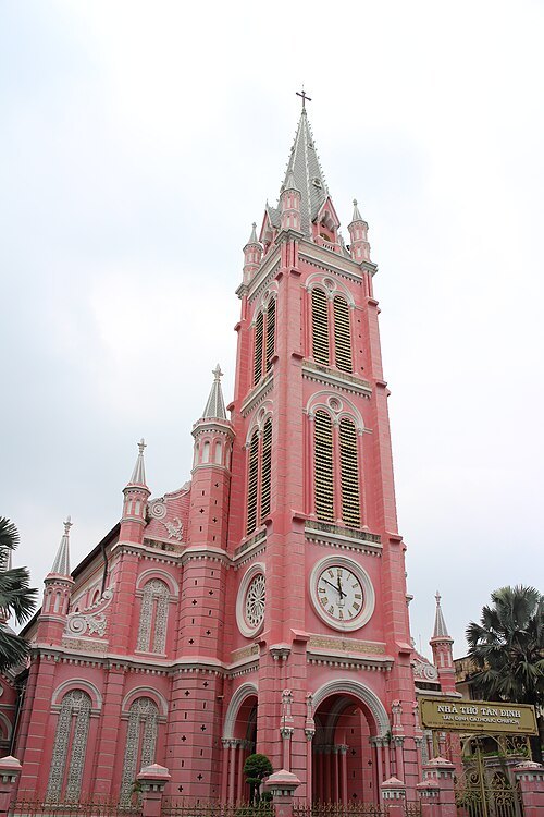
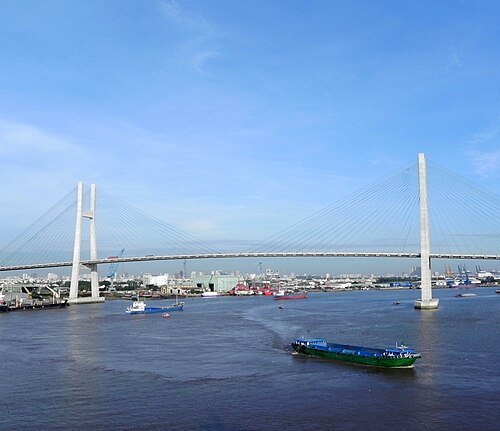
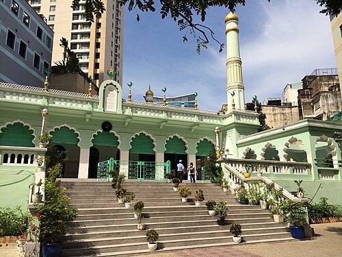 mosque
Saigon Central Mosque
mosque in Ho Chi Minh City, Vietnam
Getting there Nearest stop or station Opera House Station, about 4 min on foot OpenStreetMap
- citadel
Citadel of Saigon (1790)
capital of Vietnam
Getting there Nearest stop or station Bên Thuyên Nội Dô City Boat Station, about 11 min on foot OpenStreetMap
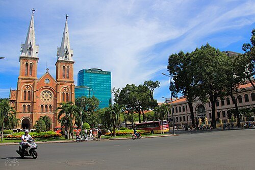 square
Paris Commune Square
square in central Ho Chi Minh City, Vietnam
Getting there Nearest stop or station Opera House Station, about 8 min on foot OpenStreetMap
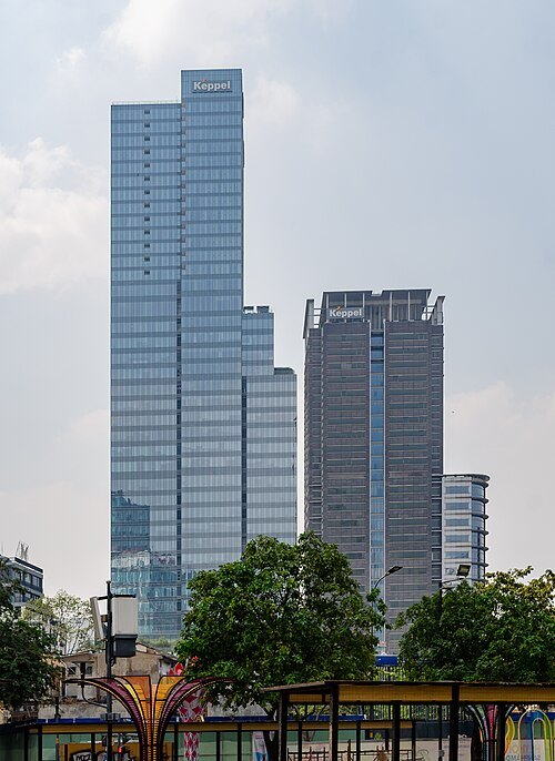
Steffen Schmitz (more photos) / CC BY-SA 4.0
tower blockSaigon Centre
complex in Vietnam
Getting there Nearest stop or station Nhà Xe Hoa Mai, about 1 min on foot OpenStreetMap
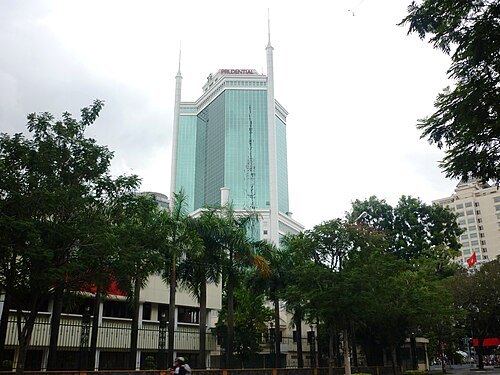 skyscraper
Saigon Trade Center
office, retail, restaurant in Ho Chi Minh City, Vietnam
Getting there Nearest stop or station Ga Hàm Nghi, about 2 min on foot OpenStreetMap
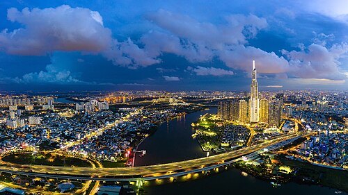 road bridge
Saigon Bridge
bridge in Vietnam
Getting there Nearest stop or station Bến Bình An, about 3 min on foot OpenStreetMap
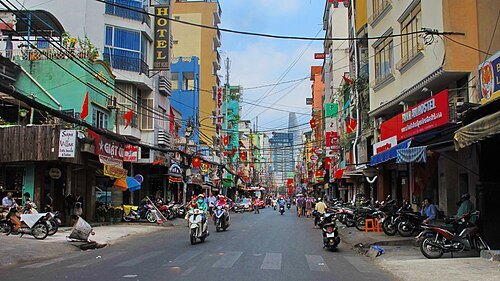 street
Bui Vien Street
street in Ho Chi Minh City
Getting there Nearest stop or station Bến xe buýt Sài Gòn, about 6 min on foot OpenStreetMap
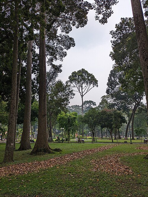 park
Tao Dan Park
urban park in Ho Chi Minh City
Getting there Nearest stop or station Tao Đàn (dự kiến), about 5 min on foot OpenStreetMap
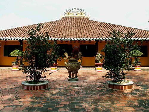
Phan Ba at vi.wikipedia / Public domain
buddhist templeGiác Lâm Pagoda
Buddhist temple in Ho Chi Minh City, Vietnam
Getting there Nearest stop or station Nhà Xe Tiến Oanh - Đồng Đen, about 15 min on foot OpenStreetMap
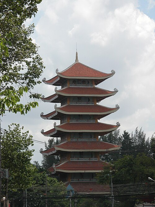
Nguyễn Thanh Quang / CC BY-SA 3.0
buddhist temple in vietnamViệt Nam Quốc Tự
Getting there Nearest stop or station Bến xe Thành Bưởi - Vĩnh Viễn, about 11 min on foot OpenStreetMap
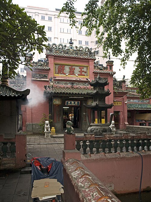 pagoda
Jade Emperor Pagoda
Taoist pagoda in Vietnam
Getting there Nearest stop or station Bên Thuyên Nội Dô City Boat Station, about 14 min on foot OpenStreetMap
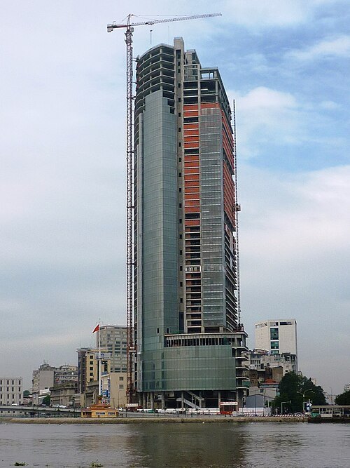 skyscraper
IFC One Saigon
highrise in Ho Chi Minh City, Vietnam
Getting there Nearest stop or station Ga Hàm Nghi, about 2 min on foot OpenStreetMap
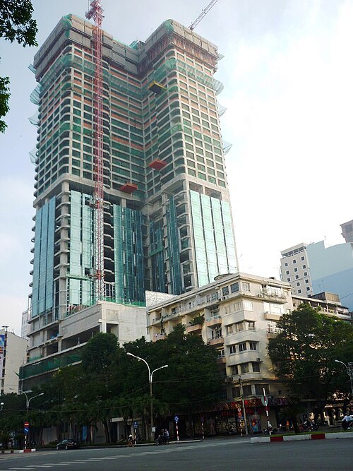 skyscraper
Saigon Times Square
office, Shopping, Residences in Ho Chi Minh City, Vietnam
Getting there Nearest stop or station Bến Bạch Đằng, about 5 min on foot OpenStreetMap
Steffen Schmitz (more photos) / CC BY-SA 4.0
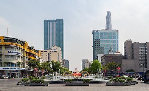
boulevardNguyen Hue Boulevard
boulevard in downtown Ho Chi Minh City
Getting there Nearest stop or station Opera House Station, about 3 min on foot OpenStreetMap
Nguyentrunghieuhp / CC BY-SA 4.0
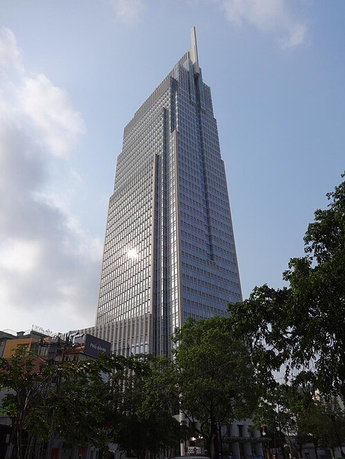
skyscraperVietcombank Tower
office in District , Ho Chi Minh City
Getting there Nearest stop or station Bến Bạch Đằng, about 3 min on foot OpenStreetMap
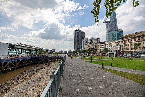
Kevin Rutherford from United States / CC BY-SA 2.0
wharfBach Dang Quay
Saigon River waterfront in Ho Chi Minh City
Getting there Nearest stop or station Bến Bạch Đằng, about 1 min on foot OpenStreetMap
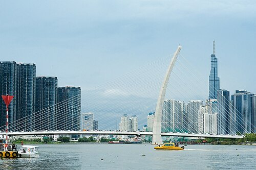 cable-stayed bridge
Ba Son Bridge
bridge in Ho Chi Minh City, Vietnam
Getting there Nearest stop or station Bến Thủ Thiêm, about 5 min on foot OpenStreetMap
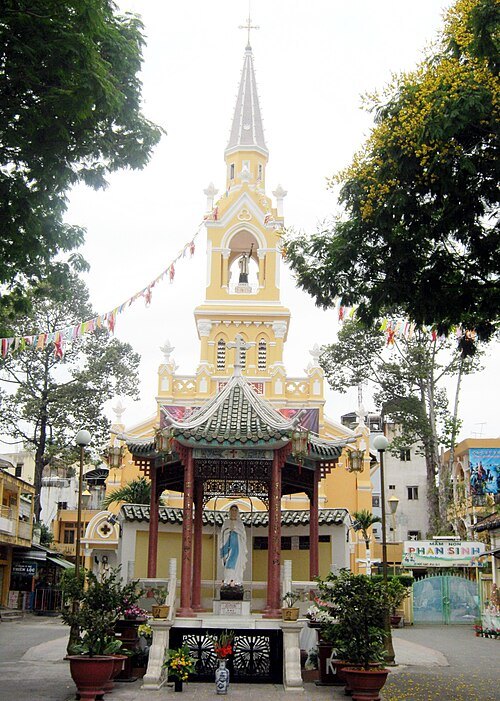 church building
Saint Francis Xavier Church
church building in Ho Chi Minh City, Vietnam
Getting there Nearest stop or station Bến xe Chợ Lớn, about 2 min on foot OpenStreetMap
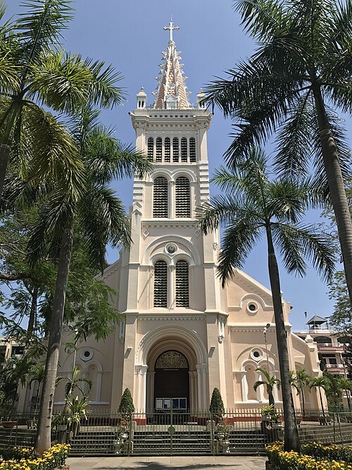 church building
Sacred Heart Church
church building in Ho Chi Minh City, Vietnam
Getting there Nearest stop or station Nhà Xe Phương Trang - Lê Hồng Phong, about 8 min on foot OpenStreetMap
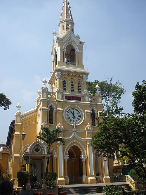
Bùi Thụy Đào Nguyên / CC BY 3.0
church buildingJeanne d'Arc Church
church building in Ho Chi Minh City, Vietnam
Getting there Nearest stop or station Xe Khách Thanh Phương Ngân, about 7 min on foot OpenStreetMap
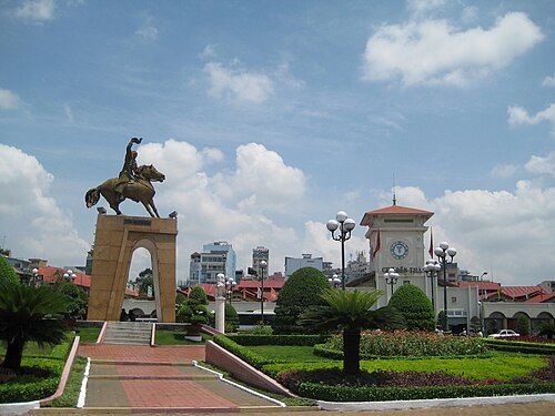 square
Quách Thị Trang Square
urban square in front of Ben Thanh Market, Ho Chi Minh City, Vietnam
Getting there Nearest stop or station Ben Thanh Station, about 1 min on foot OpenStreetMap
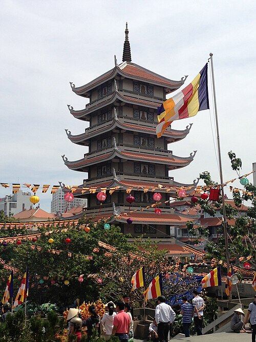 buddhist temple in vietnam
Vinh Nghiem Pagoda
pagoda in Ho Chi Minh City, Vietnam
Getting there Nearest stop or station Sai Gon, about 16 min on foot OpenStreetMap
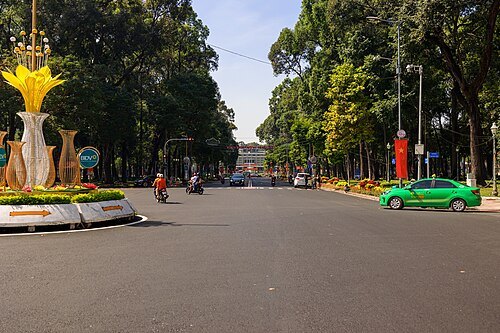
Kevin Rutherford from United States / CC BY-SA 2.0
boulevardLe Duan Boulevard
boulevard in downtown Ho Chi Minh City
Getting there Nearest stop or station Opera House Station, about 11 min on foot OpenStreetMap
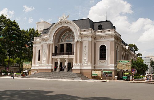 square
Lam Sơn Square
Urban square in central Ho Chi Minh City, Vietnam
Getting there Nearest stop or station Opera House Station, about 3 min on foot OpenStreetMap
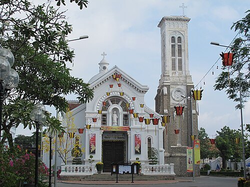 church building
Saint Joseph Church
church building in Ho Chi Minh City, Vietnam
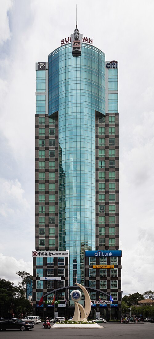 tower block
Sunwah Tower
high-rise, multi-purpose building in Ho Chi Minh City
Getting there Nearest stop or station Opera House Station, about 3 min on foot OpenStreetMap
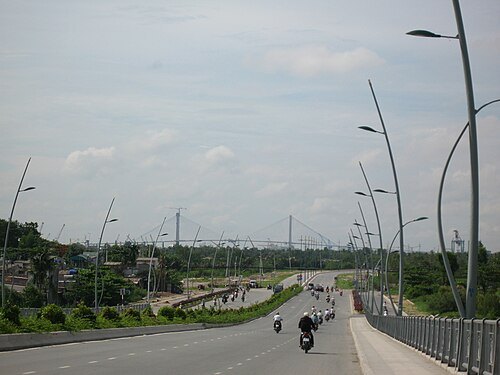 bridge
Thu Thiem Bridge
bridge in Vietnam
Getting there Nearest stop or station Ba Son Station, about 18 min on foot OpenStreetMap
 water park
Saigon Water Park
former Vietnamese water park
Getting there Nearest stop or station Đò Bình Quới, about 9 min on foot OpenStreetMap
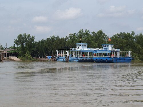 river
Sông Nhà Bè
river in Vietnam
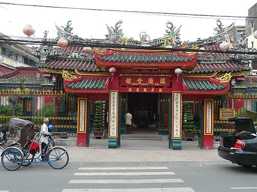 buddhist temple in vietnam
Quan Am Temple
Chinese-style temple in Cho Lon, Ho Chi Minh City, Vietnam, dedicated to Guanyin
Getting there Nearest stop or station Trạm Xe Bus Nhà Xe Quốc Hoàng, about 3 min on foot OpenStreetMap
- buddhist temple
An Quang Pagoda
meeting place in Ho Chi Minh City, Vietnam
Getting there Nearest stop or station Bến xe Thành Bưởi - Vĩnh Viễn, about 6 min on foot OpenStreetMap


Places to eat
- cafe
Cà Phê Au Parc
Food: mediterranean
- cafe
Cà Phê Milano Radio
Food: coffee shop
Nothing here matches that. Clear a filter and try again.
Opening hours and tickets: OpenStreetMap contributors. Each one shows the day a volunteer last wrote it down, so check the official site before you set out.