Đồng Hới: what to see and where to eat
Everything below comes from open data and each row says where it came from. We have not been to any of these places and we do not rank them.
Filters
Things to see
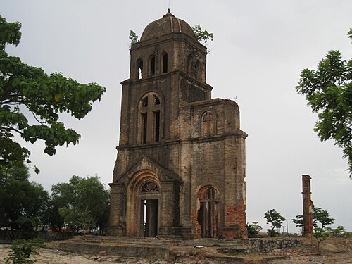 church building
Tam Toa Church
ruined church building in Đồng Hới, Vietnam
Getting there Nearest stop or station Bus station management and service center, about 19 min on foot OpenStreetMap
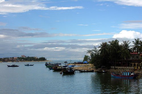
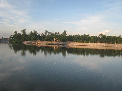
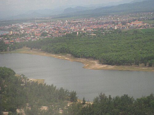
- river
Sông Dinh
river in Vietnam; GeoNames ID = 1583411
- river mouth
Cửa Doanh
- reef
Hòn Hién
reef in Vietnam
- river
Nhat Le River
river in Vietnam
- bridge
Nhat Le 2 Bridge
Bridge in Dong Hoi, Vietnam
- mountain
Núi Móng Gà
mountain in Vietnam
- mountain
Cao Khê
mountain in Vietnam
- mountain
Núi Đông Then
mountain in Vietnam
- mountain
Núi Đa Mao
mountain in Vietnam
- mountain
Núi Co Roi
mountain in Vietnam
- river mouth
Cửa Lý Hòa
- river
Khê Dổ Na
river in Vietnam
- river
Rào Dá
river in Vietnam
- river
Rào Lê Kỳ
river in Vietnam
- river
Sông Long Đại
river in Vietnam
- river
Sông Đá
river in Vietnam
Getting there Nearest stop or station Ga Long Đại, about 13 min on foot OpenStreetMap
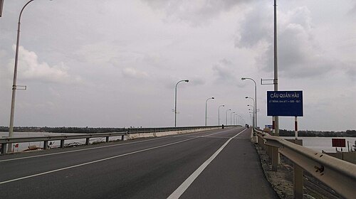
Linhcandng (thảo luận) / CC BY-SA 3.0
bridgeQuan Hau Bridge
Bridge in Quang Binh, Vietnam
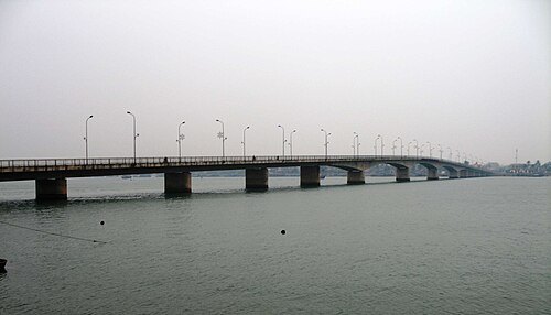 bridge
Nhat Le Bridge
Bridge in Dong Hoi, Vietnam


Places to eat
Nothing here matches that. Clear a filter and try again.
Opening hours and tickets: OpenStreetMap contributors. Each one shows the day a volunteer last wrote it down, so check the official site before you set out.