Seattle: what to see and where to eat
Everything below comes from open data and each row says where it came from. We have not been to any of these places and we do not rank them.
Filters
Things to see
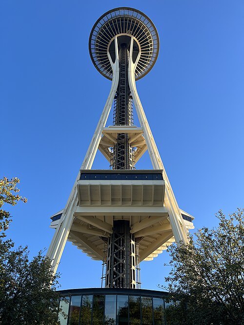
Another Believer / CC BY-SA 4.0
observation towerSpace Needle
observation tower in Seattle, Washington, United States
Getting there Nearest stop or station Seattle Center, about 2 min on foot OpenStreetMap
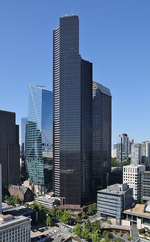 skyscraper
Columbia Center
skyscraper in Seattle, Washington, United States
Getting there Nearest stop or station Pioneer Square, about 3 min on foot OpenStreetMap
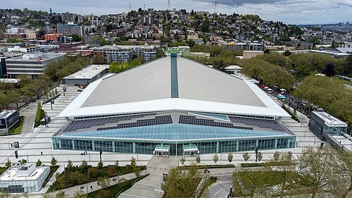 arena
Climate Pledge Arena
sports arena in Seattle, Washington, USA
Getting there Nearest stop or station Seattle Center, about 5 min on foot OpenStreetMap
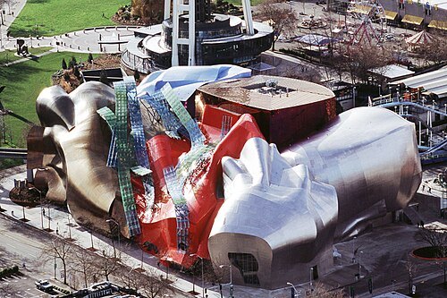 museum
Museum of Pop Culture
museum in Seattle, Washington, USA
Getting there Nearest stop or station Seattle Center, about 1 min on foot OpenStreetMap
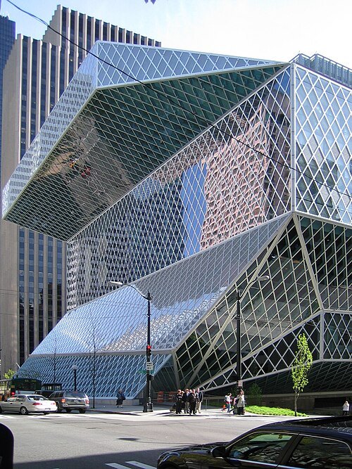 library building
Seattle Central Library
main branch library in downtown Seattle
Getting there Nearest stop or station Symphony, about 4 min on foot OpenStreetMap
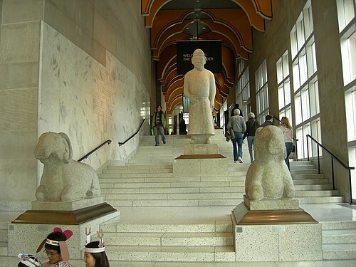 art museum
Seattle Art Museum
art museum in Seattle, Washington
Getting there Nearest stop or station Symphony, about 3 min on foot OpenStreetMap
- historic district
Pike Place Market
public market and tourist attraction in Seattle, Washington
Getting there Nearest stop or station Westlake Center, about 7 min on foot OpenStreetMap
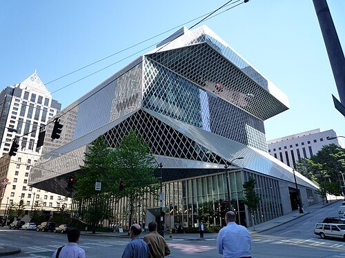 library network
Seattle Public Library
public library system serving Seattle, Washington
Getting there Nearest stop or station Symphony, about 4 min on foot OpenStreetMap

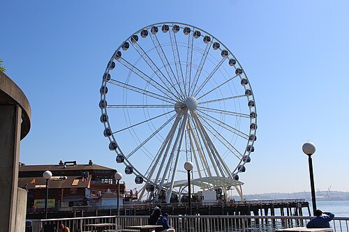 ferris wheel
Seattle Great Wheel
Ferris wheel in Seattle, Washington, U.S.
Getting there Nearest stop or station Washington State Ferries Terminal, about 8 min on foot OpenStreetMap
- university art museum
Henry Art Gallery
university art museum in Seattle, Washington
Getting there Nearest stop or station U District, about 8 min on foot OpenStreetMap
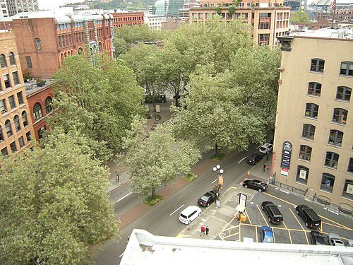 historic district
Pioneer Square
neighborhood in the southwest corner of downtown Seattle, Washington, USA
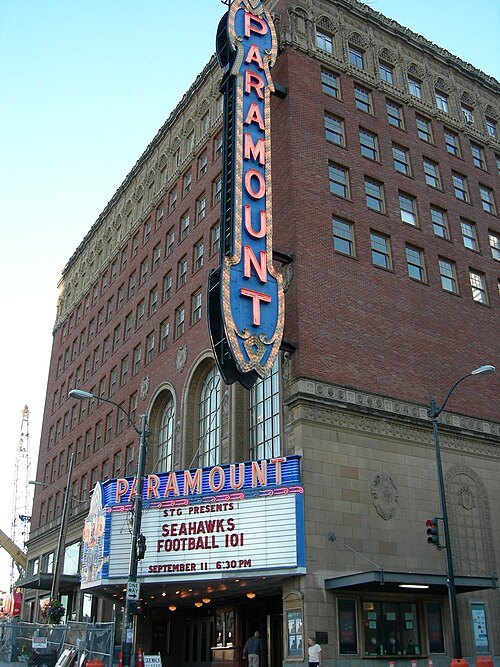 theatre building
Paramount Theatre
theatre and movie theater in Seattle, Washington, United States
Getting there Nearest stop or station Westlake, about 6 min on foot OpenStreetMap
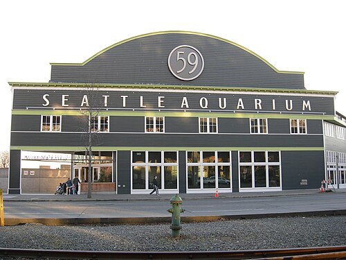 public aquarium
Seattle Aquarium
public aquarium in Seattle, Washington, U.S.
Getting there Nearest stop or station Symphony, about 8 min on foot OpenStreetMap
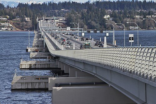
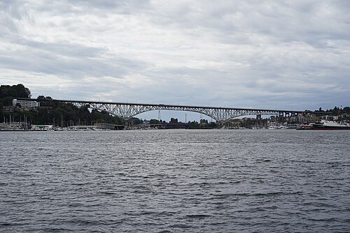 cantilever bridge
George Washington Memorial Bridge
highway bridge crossing the Lake Washington Ship Canal in Seattle, Washington
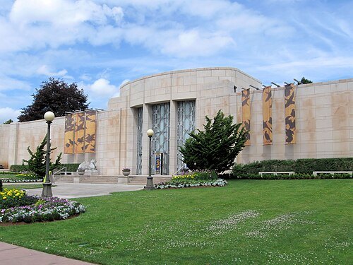
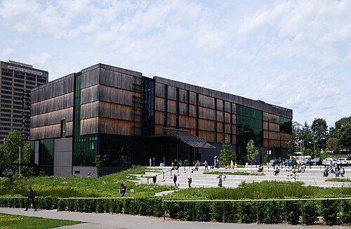
Richard N Horne / CC BY-SA 4.0
natural history museumBurke Museum of Natural History and Culture
natural history museum in Washington, United States
Getting there Nearest stop or station U District, about 5 min on foot OpenStreetMap
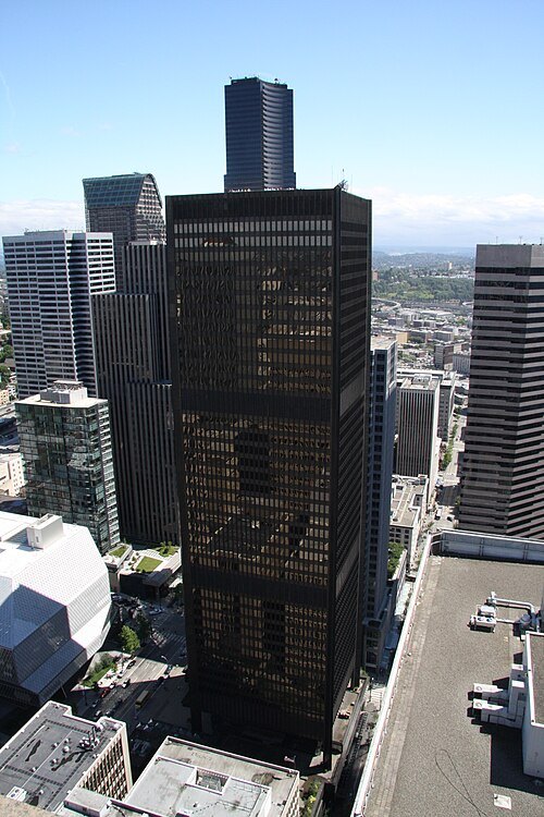 skyscraper
Safeco Plaza
office skyscraper in Seattle, Washington
Getting there Nearest stop or station Symphony, about 4 min on foot OpenStreetMap
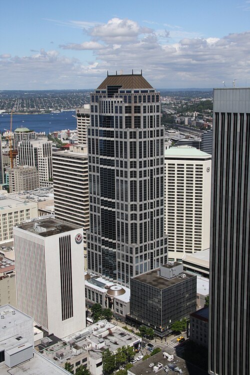 skyscraper
U.S. Bank Center
office skyscraper in Seattle, Washington
Getting there Nearest stop or station Westlake, about 2 min on foot OpenStreetMap
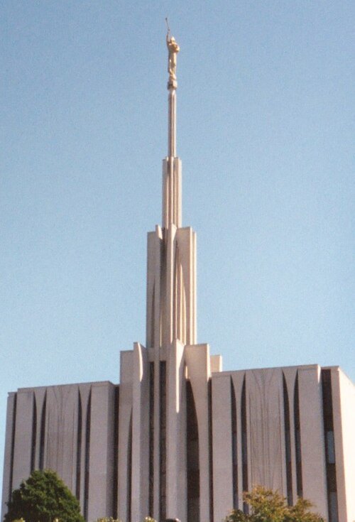 temple
Seattle Washington Temple
temple of the Church of Jesus Christ of Latter-day Saints in Bellevue, Washington
Getting there Nearest stop or station Eastgate Park and Ride, about 14 min on foot OpenStreetMap
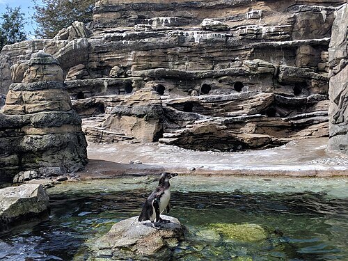
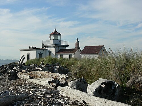
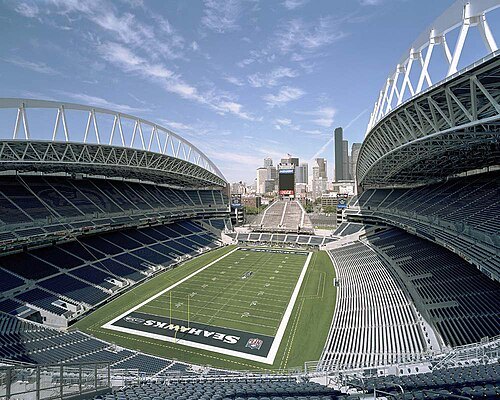
"Smart Destinations", GoSeattleCard.com, and Go Seattle Card Blog / CC BY-SA 2.0
stadiumLumen Field
multi-purpose stadium in Seattle, Washington, USA
Getting there Nearest stop or station Seattle King Street, about 5 min on foot OpenStreetMap
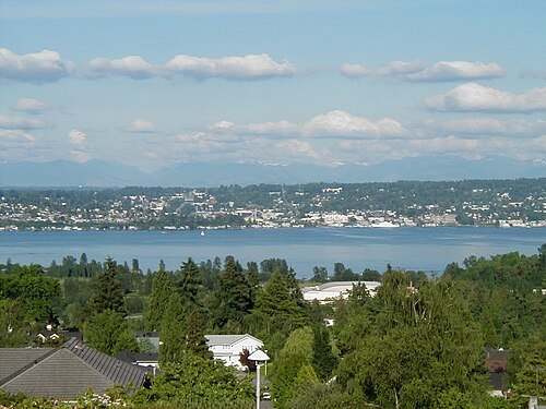
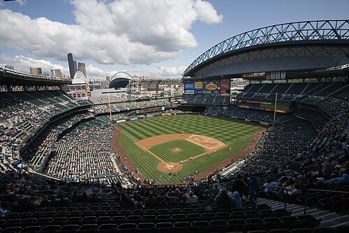
MyName (Cacophony) / CC BY-SA 3.0
baseball venueT-Mobile Park
baseball stadium in Seattle, Washington, USA, home venue of the Seattle Mariners
Getting there Nearest stop or station Stadium, about 6 min on foot OpenStreetMap
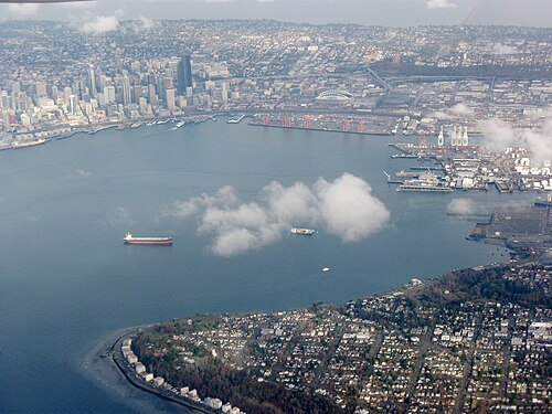
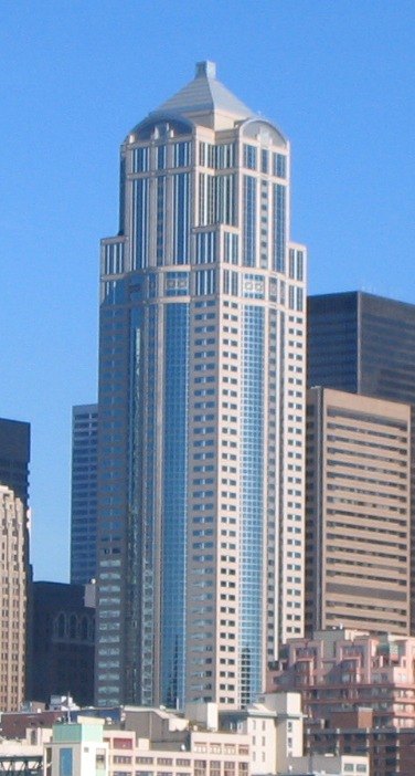
Westonmr at English Wikipedia / Public domain
skyscraper1201 Third Avenue
skyscraper in Seattle, USA
Getting there Nearest stop or station Symphony, about 1 min on foot OpenStreetMap
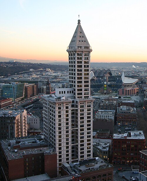
Christopher S. Maloney (NorthLights) / CC BY 2.5
skyscraperSmith Tower
skyscraper in Seattle, Washington
Getting there Nearest stop or station Pioneer Square, about 1 min on foot OpenStreetMap
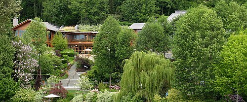 mansion
Bill Gates's house
building
Getting there Nearest stop or station Evergreen Point Freeway Station, about 17 min on foot OpenStreetMap
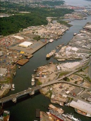
United States Environmental Protection Agency / Public domain
riverDuwamish River
tributary to Elliot Bay in King County, Washington state, United States of America
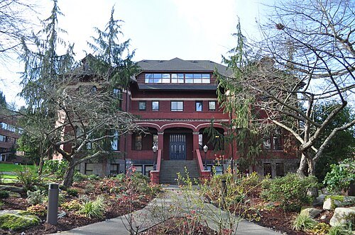
- stadium
Kingdome
former stadium in Seattle, Washington
Getting there Nearest stop or station Seattle King Street, about 5 min on foot OpenStreetMap
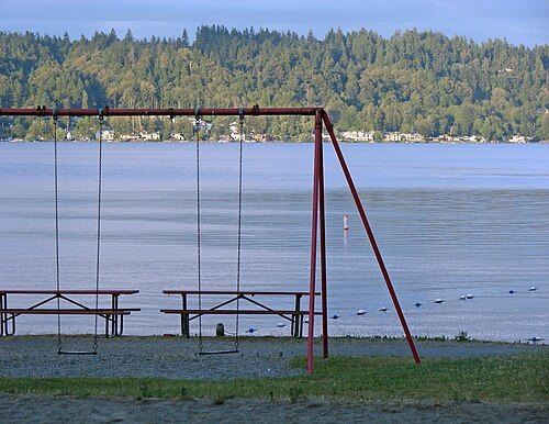
?ellie? from Shoreline and Olympia, WA, U.S. of A. / CC BY 2.0
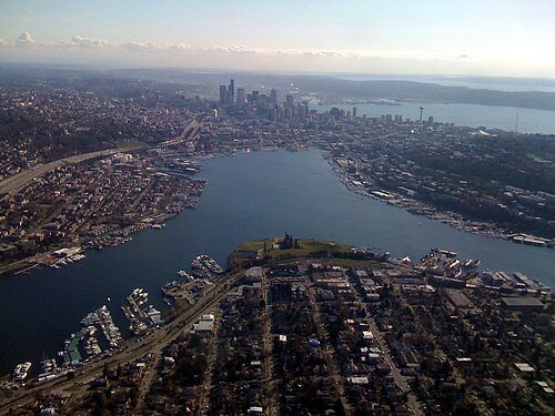 lake
Lake Union
lake in King County, Washington, USA
Getting there Nearest stop or station Fairview & Campus Drive, about 20 min on foot OpenStreetMap
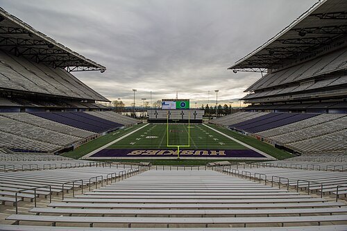 stadium
Husky Stadium
stadium in Seattle, Washington
Getting there Nearest stop or station University of Washington, about 3 min on foot OpenStreetMap
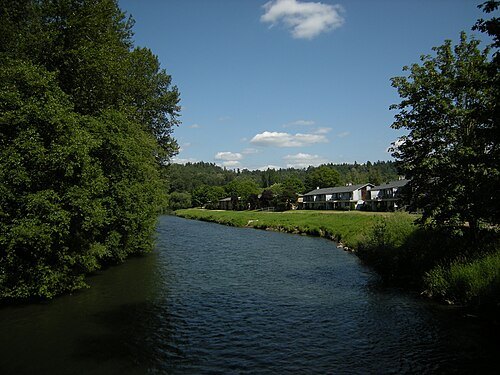 river
Green River
tributary of the Duwamish River in King County, Washington state, United States of America
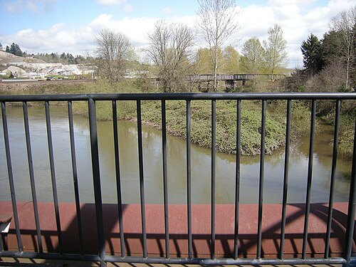
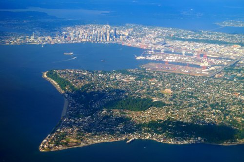
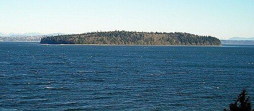 island
Blake Island
island of Puget Sound in Kitsap County, Washington, United States of America
Getting there Nearest stop or station Tillicum Village, about 15 min on foot OpenStreetMap
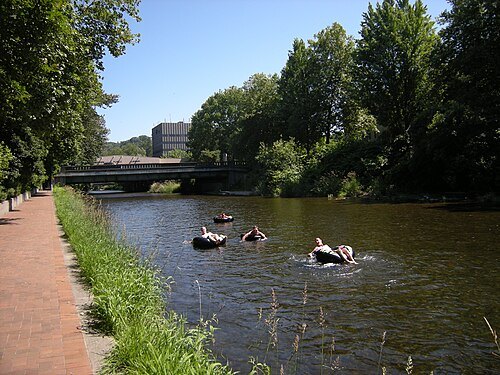
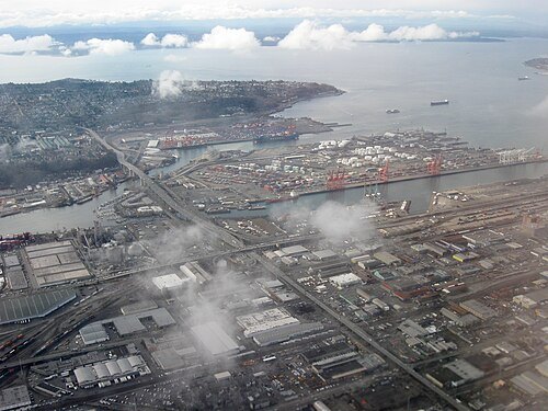
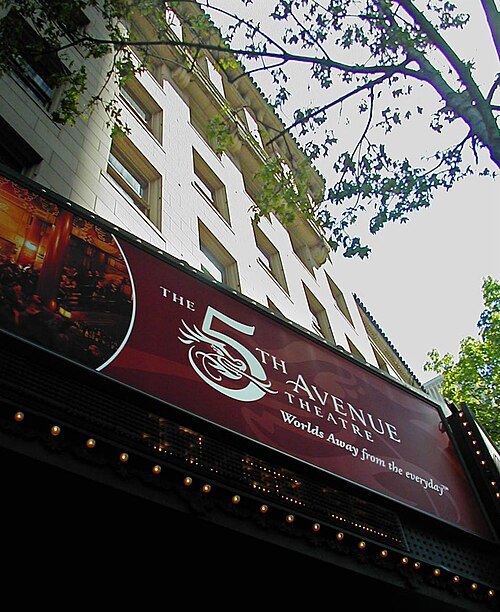 movie theater
5th Avenue Theatre
theater in Seattle, Washington, United States
Getting there Nearest stop or station Symphony, about 3 min on foot OpenStreetMap
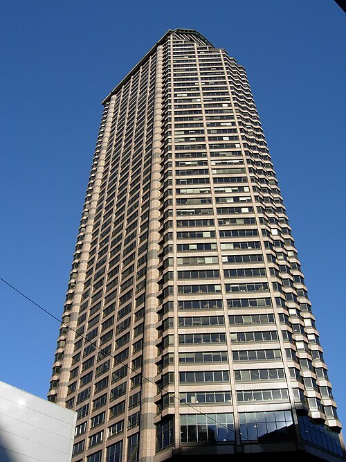 tower block
Seattle Municipal Tower
Skyscraper in Seattle, Washington
Getting there Nearest stop or station Pioneer Square, about 4 min on foot OpenStreetMap
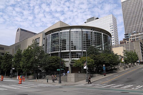 concert hall
Benaroya Hall
concert hall in Seattle, Washington, United States
Getting there Nearest stop or station Symphony, about 1 min on foot OpenStreetMap
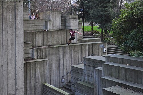 urban park
Freeway Park
park in Seattle, Washington, USA
Getting there Nearest stop or station Symphony, about 7 min on foot OpenStreetMap
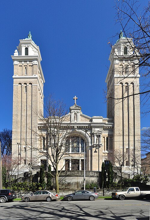 catholic cathedral
St. James Cathedral
Catholic cathedral in Seattle
Getting there Nearest stop or station Broadway & Marion, about 7 min on foot OpenStreetMap
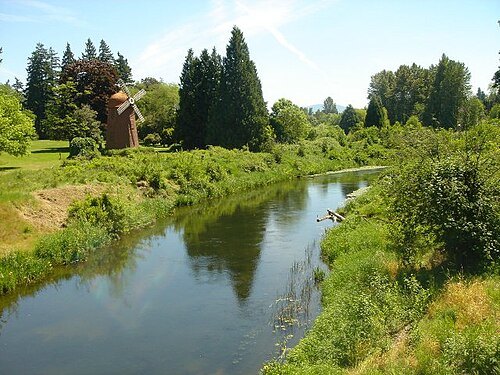
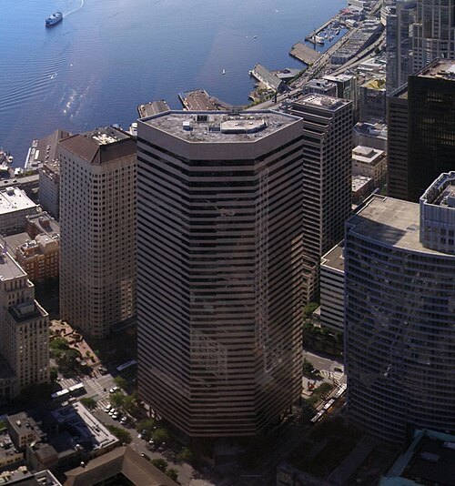
Bank-of-america-seattle.jpg: Rahula59 derivative work: Mrwojo / CC BY-SA 3.0
skyscraperDocusign Tower
Office skyscraper in Seattle, Washington
Getting there Nearest stop or station Pioneer Square, about 5 min on foot OpenStreetMap
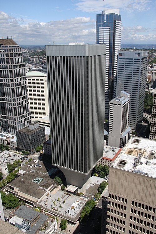 skyscraper
Rainier Tower
41-story skyscraper in the Metropolitan Tract of Seattle, Washington
Getting there Nearest stop or station Symphony, about 3 min on foot OpenStreetMap
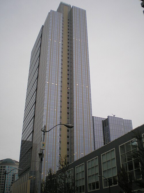 skyscraper
JPMorganChase Center
skyscraper in Seattle, Washington, U.S.
Getting there Nearest stop or station Symphony, about 1 min on foot OpenStreetMap
- stadium
Sick's Stadium
sports stadium
Getting there Nearest stop or station Mount Baker Transit Center, about 3 min on foot OpenStreetMap


Places to eat
Nothing here matches that. Clear a filter and try again.
Opening hours and tickets: OpenStreetMap contributors. Each one shows the day a volunteer last wrote it down, so check the official site before you set out.