San Jose: what to see and where to eat
Everything below comes from open data and each row says where it came from. We have not been to any of these places and we do not rank them.
Filters
Things to see
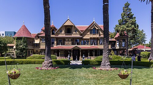
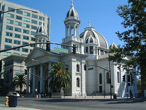 catholic cathedral
Cathedral Basilica of St. Joseph
Catholic church in San Jose, California
Getting there Nearest stop or station Santa Clara, about 4 min on foot OpenStreetMap
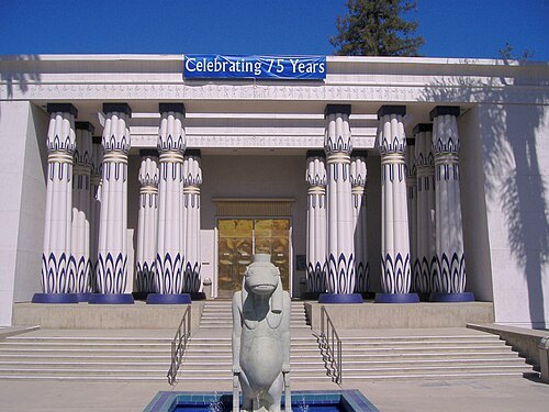 history museum
Rosicrucian Egyptian Museum
building in San Jose, California, United States
Getting there Nearest stop or station College Park, about 18 min on foot OpenStreetMap
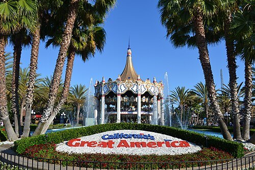
Oleg Alexandrov / CC BY-SA 4.0
amusement parkCalifornia's Great America
theme park in Santa Clara, California
Getting there Nearest stop or station Delta Flyer, about 4 min on foot OpenStreetMap
- public library
Dr. Martin Luther King, Jr. Library
main branch of the San José Public Library and university library of San José State University
Getting there Nearest stop or station San Antonio, about 5 min on foot OpenStreetMap
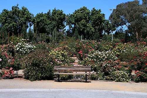
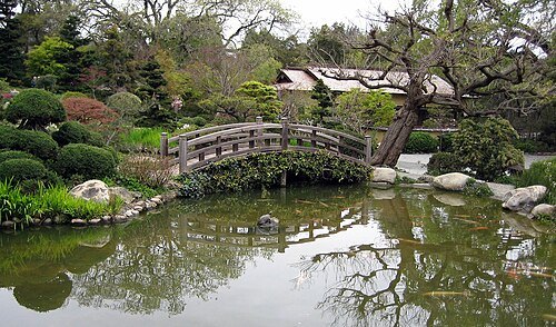
The original uploader was Doopokko at English Wikipedia. / CC BY-SA 2.0
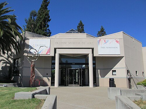
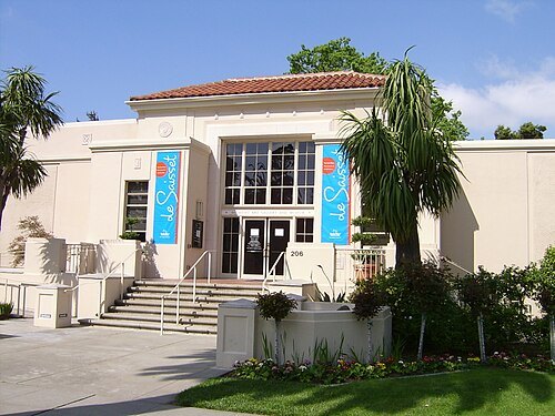
Matthew Hendricks (SCUMATT at en.wikipedia) / CC BY-SA 2.5
art museumDe Saisset Museum
museum in Santa Clara, California
Getting there Nearest stop or station Santa Clara Transit Center, about 3 min on foot OpenStreetMap
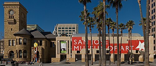 art museum
San Jose Museum of Art
art museum in San Jose, California, United States
Getting there Nearest stop or station San Antonio, about 3 min on foot OpenStreetMap
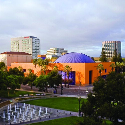
The Tech Museum of Innovation / CC BY 2.0
computer museumThe Tech Interactive
science and technology center in San Jose, California, United States
Getting there Nearest stop or station Convention Center, about 2 min on foot OpenStreetMap
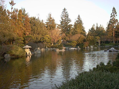
The original uploader was Niteowlneils at English Wikipedia. / CC BY-SA 3.0
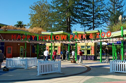
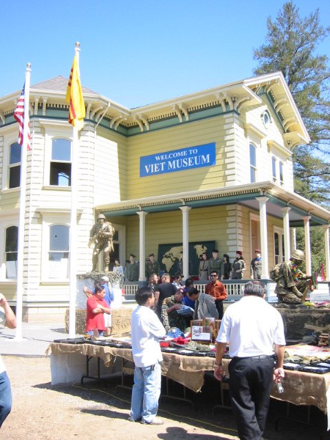
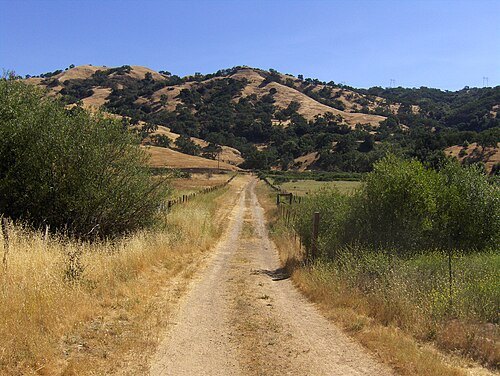
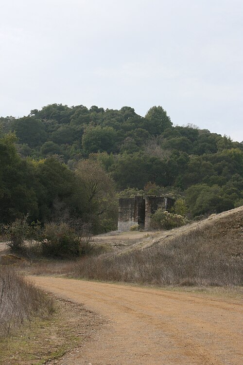
Calbookaddict at English Wikipedia / Public domain
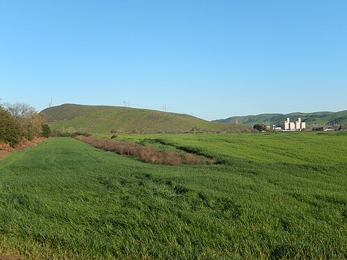
county parkAlmaden Quicksilver County Park
county park in Santa Clara County, California, United States
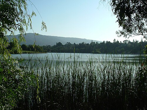
Mike24 at English Wikipedia / CC BY-SA 3.0
regional parkVasona Lake County Park
county park in Los Gatos, California, United States
Getting there Nearest stop or station Oak Meadow, about 10 min on foot OpenStreetMap
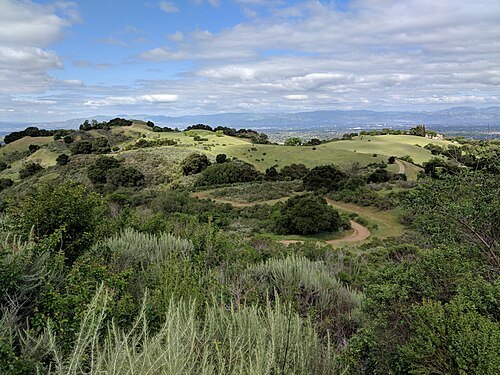
David Baron from San Francisco, California, USA / CC BY-SA 2.0
nature reserveFremont Older Open Space Preserve
nature preserve in Santa Clara County, California, United States
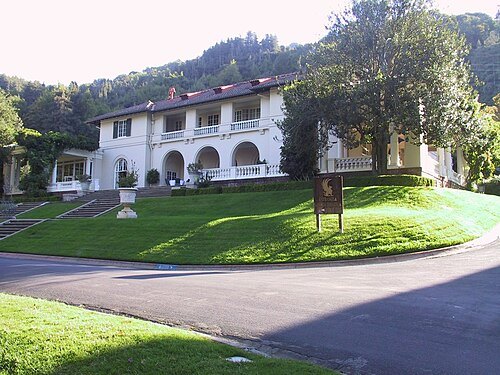
 protected area
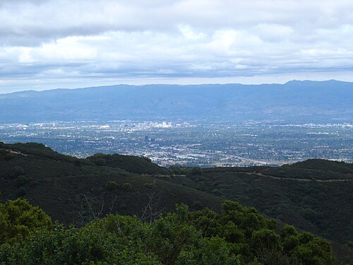
El Sereno Open Space Preserve
open space preserve in Santa Clara County, California, United States
David Sawyer from Campbell, California, United States / CC BY-SA 2.0
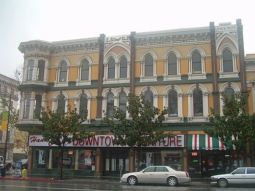
historic districtDowntown Historic District
historic district in California, United States
Getting there Nearest stop or station San Antonio, about 2 min on foot OpenStreetMap
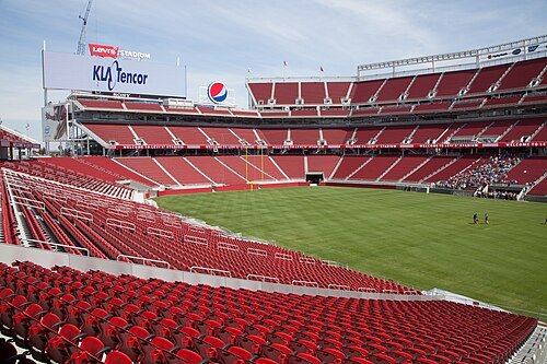 association football venue
Levi's Stadium
American football stadium in Santa Clara, California, United States
Getting there Nearest stop or station Great America, about 7 min on foot OpenStreetMap
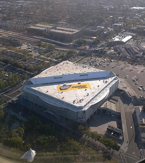 tennis venue
SAP Center
arena in San Jose, California, United States
Getting there Nearest stop or station San Jose Diridon Transit Center, about 5 min on foot OpenStreetMap
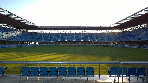 association football venue
PayPal Park
soccer-specific stadium in San Jose, California, USA
Getting there Nearest stop or station Santa Clara, about 16 min on foot OpenStreetMap
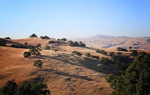
Evan Blaser from San Francisco, US and A / CC BY 2.0
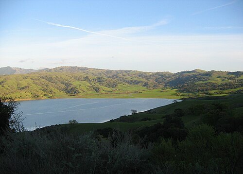
valleySanta Clara Valley
valley in California in the United States
Getting there Nearest stop or station Lawrence, about 19 min on foot OpenStreetMap
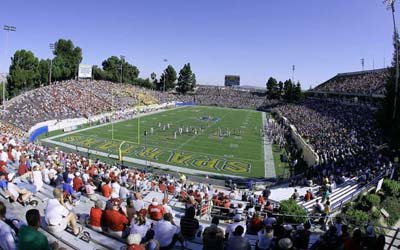
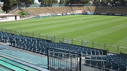 association football venue
Stevens Stadium
soccer stadium in Santa Clara, California, United States
Getting there Nearest stop or station Santa Clara, about 4 min on foot OpenStreetMap
- pacific coast championships
2012 SAP Open
tennis tournament edition
Getting there Nearest stop or station San Jose Diridon Transit Center, about 5 min on foot OpenStreetMap
- pacific coast championships
2010 SAP Open
tennis tournament edition
Getting there Nearest stop or station San Jose Diridon Transit Center, about 5 min on foot OpenStreetMap
- pacific coast championships
2013 SAP Open
tennis tournament
Getting there Nearest stop or station San Jose Diridon Transit Center, about 5 min on foot OpenStreetMap
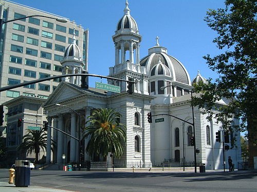 diocese of the catholic church
Diocese of San José in California
diocese of the Catholic Church in the United States
Getting there Nearest stop or station Curtner, about 15 min on foot OpenStreetMap
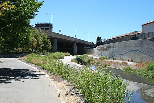 river
Guadalupe River
river in Santa Clara County, California, United States
Getting there Nearest stop or station Almaden, about 3 min on foot OpenStreetMap
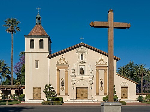 church building
Mission Santa Clara de Asís
Spanish mission in Santa Clara, California
Getting there Nearest stop or station Santa Clara Transit Center, about 10 min on foot OpenStreetMap
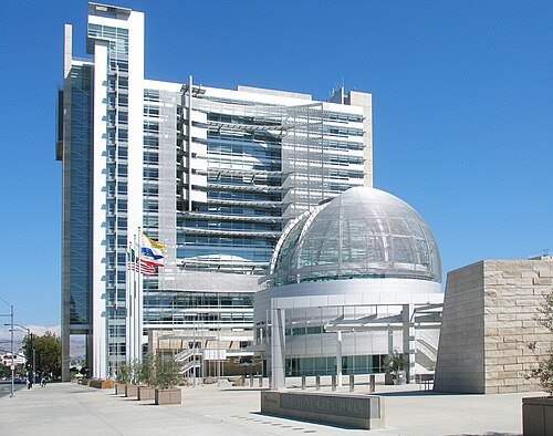 city hall
San José City Hall
headquarters of the City of San José, California, United States
Getting there Nearest stop or station Santa Clara, about 6 min on foot OpenStreetMap
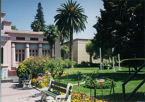
Original uploader was Andrew Parodi at en.wikipedia / CC BY-SA 3.0
parkRosicrucian Park
park in San Jose, Santa Clara County, United States of America
Getting there Nearest stop or station College Park, about 18 min on foot OpenStreetMap
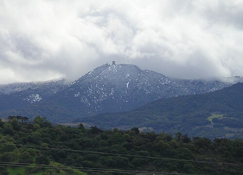
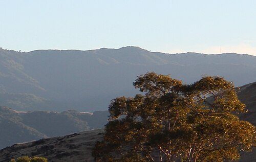
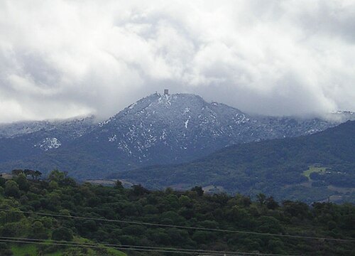
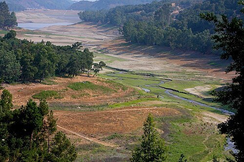
Mercury Freedom / CC BY-SA 3.0
riverLos Gatos Creek
river in Santa Clara County, California, United States
Getting there Nearest stop or station San Fernando, about 6 min on foot OpenStreetMap
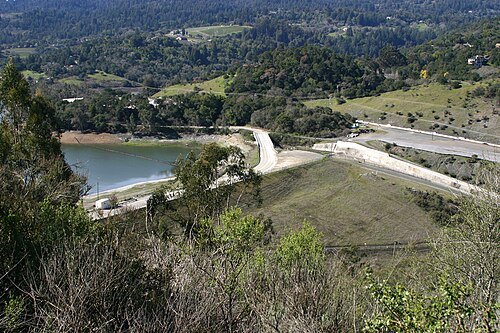
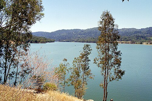 reservoir
Lexington Reservoir
reservoir on Los Gatos Creek in Santa Clara County, California, United States
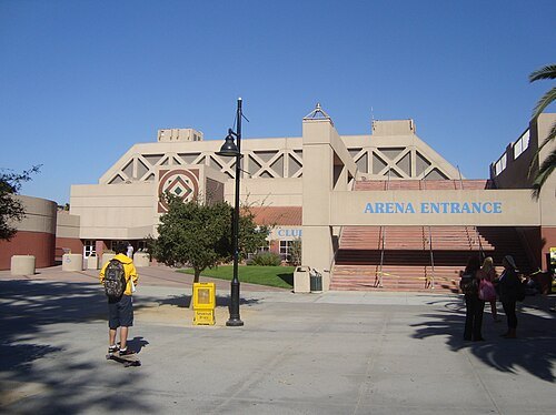
Søren Fuglede Jørgensen, User:Pred / CC BY-SA 3.0
arenaProvident Credit Union Event Center
Arena on the campus of San José State in California, United States
Getting there Nearest stop or station San Antonio, about 11 min on foot OpenStreetMap
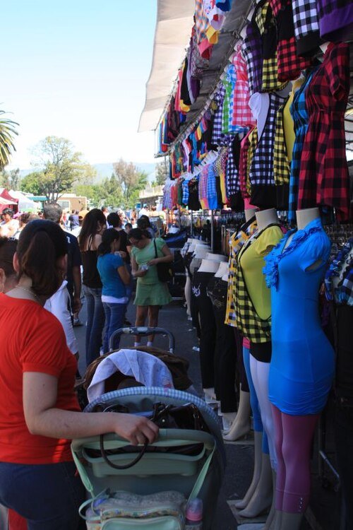 flea market
San Jose Flea Market
shopping mall
Getting there Nearest stop or station Berryessa Transit Center, about 6 min on foot OpenStreetMap
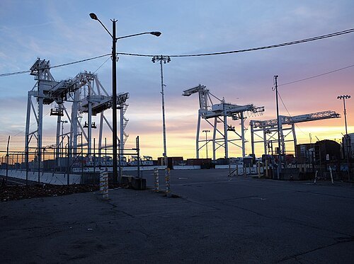
Johan Jönsson (Julle) / CC BY-SA 4.0
sports venueOakland Ballpark
proposed baseball stadium in Oakland, California
Getting there Nearest stop or station San Jose Diridon, about 2 min on foot OpenStreetMap
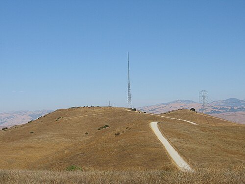
The original uploader was Christian Ey at English Wikipedia. / Public domain
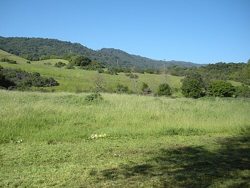 regional park
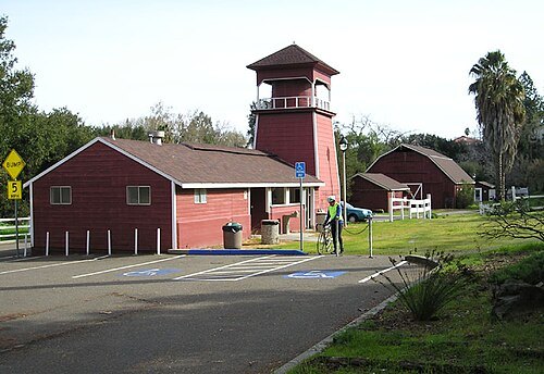
Rancho San Antonio County Park
county park in Santa Clara County, California, United States
- river
Alamitos Creek
river in the United States of America
Getting there Nearest stop or station Almaden, about 3 min on foot OpenStreetMap
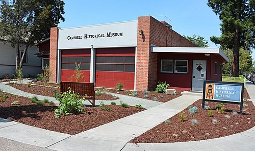
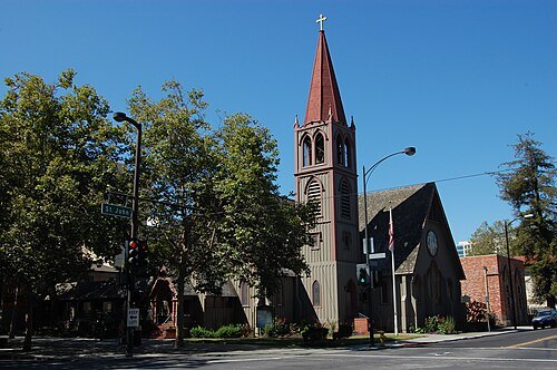 anglican or episcopal cathedral
Trinity Episcopal Cathedral
cathedral in San Jose, California, USA
Getting there Nearest stop or station Saint James, about 1 min on foot OpenStreetMap
- sculpture
Arch of Dignity, Equality, and Justice
art installation at San Jose State University, United States


Places to eat
- restaurant
Anchors
Food: fish and chips, seafood
- restaurant
Dac Phuc
Food: vietnamese
- cafe
Peet's Coffee
Food: coffee shop
- restaurant
Phở Công Lý
Food: vietnamese, noodle
- restaurant
Chicken Licious
Food: malaysian
- restaurant
El Halal Amigos
Food: mexican
- restaurant
Hinodeya
Food: ramen
Nothing here matches that. Clear a filter and try again.
Opening hours and tickets: OpenStreetMap contributors. Each one shows the day a volunteer last wrote it down, so check the official site before you set out.