San Francisco: what to see and where to eat
Everything below comes from open data and each row says where it came from. We have not been to any of these places and we do not rank them.
Filters
Things to see
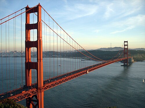
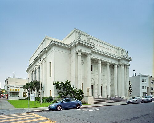
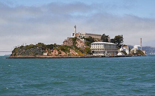
Frank Schulenburg / CC BY-SA 4.0
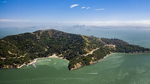
islandAlcatraz Island
island in San Francisco, California, United States of America
Getting there Nearest stop or station S.E.A.T Tram, about 2 min on foot OpenStreetMap
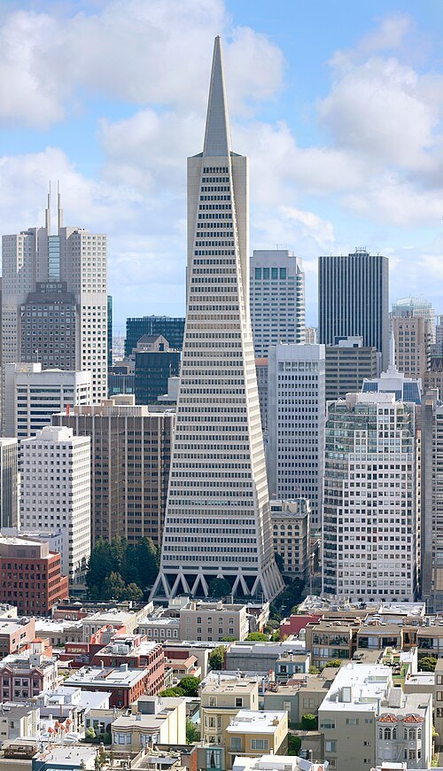 skyscraper
Transamerica Pyramid
distinctive tower in San Francisco, California, USA
Getting there Nearest stop or station Chinatown-Rose Pak, about 7 min on foot OpenStreetMap
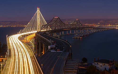
Frank Schulenburg / CC BY-SA 3.0
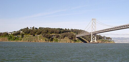
bridge groupSan Francisco–Oakland Bay Bridge
suspension bridge connecting San Francisco and Oakland, California, USA
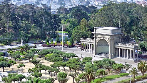
Dennis G. Jarvis / CC BY-SA 2.0
urban parkGolden Gate Park
public park in San Francisco, California, USA
Getting there Nearest stop or station Judah Street & 19th Avenue, about 14 min on foot OpenStreetMap
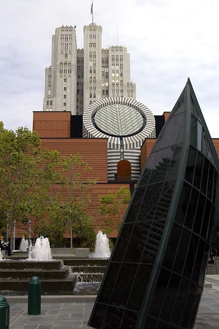 art museum
San Francisco Museum of Modern Art
modern art museum in San Francisco, California, USA
Getting there Nearest stop or station Yerba Buena/Moscone, about 6 min on foot OpenStreetMap
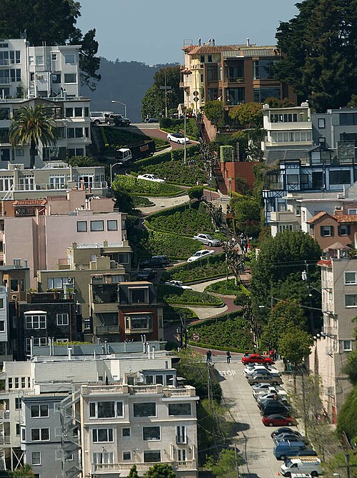
The original uploader was Y6y6y6 at English Wikipedia. / Public domain
architectural landmarkLombard Street
thoroughfare in San Francisco, California, United States
Getting there Nearest stop or station Red & White Fleet, about 13 min on foot OpenStreetMap
 preserved watercraft
USS Hornet
1943 Essex-class aircraft carrier
Getting there Nearest stop or station Seaplane Lagoon Ferry Terminal, about 9 min on foot OpenStreetMap
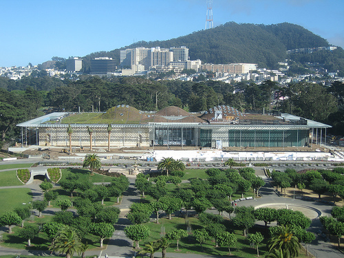
Adamsofen at English Wikipedia / Public domain
natural history museumCalifornia Academy of Sciences
natural history museum in San Francisco
Getting there Nearest stop or station Judah Street & 9th Avenue, about 14 min on foot OpenStreetMap
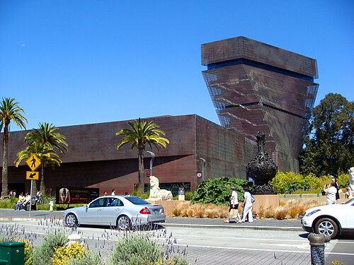 art museum
M. H. de Young Memorial Museum
fine arts museum located in San Francisco's Golden Gate Park
Getting there Nearest stop or station Judah Street & 9th Avenue, about 16 min on foot OpenStreetMap
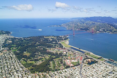
Robert Campbell / CC BY-SA 3.0
urban parkPresidio of San Francisco
place in California listed on National Register of Historic Places
Getting there Nearest stop or station Presidio Transit Center, about 15 min on foot OpenStreetMap
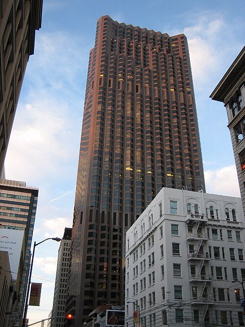
Chris Yunker from Portland, United States / CC BY-SA 2.0
skyscraper555 California Street
skyscraper
Getting there Nearest stop or station Montgomery Street, about 6 min on foot OpenStreetMap
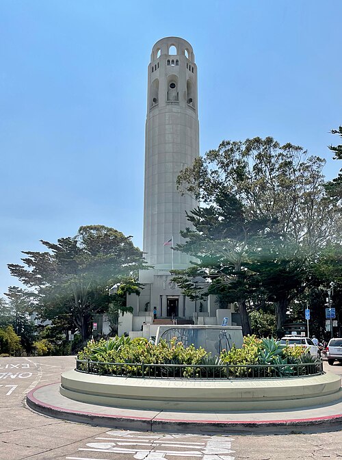 observation tower
Coit Tower
observation tower
Getting there Nearest stop or station Chinatown-Rose Pak, about 14 min on foot OpenStreetMap

Brocken Inaglory / CC BY-SA 3.0
zooSan Francisco Zoo
zoo in San Francisco
Getting there Nearest stop or station Wawona Street & 46th Avenue, about 6 min on foot OpenStreetMap
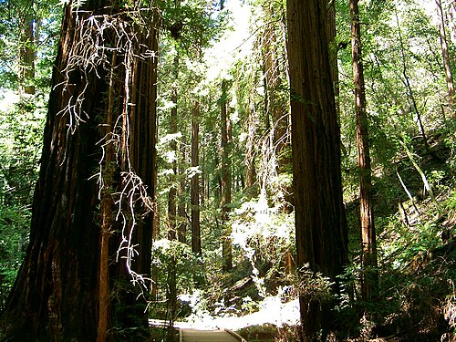
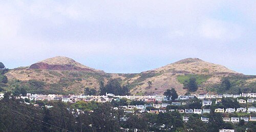
The original uploader was Octoferret at English Wikipedia. / CC BY-SA 2.5
hillTwin Peaks
two hills in San Francisco, California
Getting there Nearest stop or station Forest Hill, about 16 min on foot OpenStreetMap
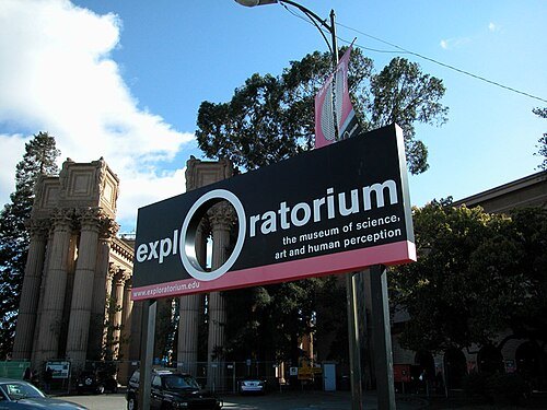
Ann Bartkowski / Dacreep at en.wikipedia / CC BY-SA 3.0
science museumExploratorium
museum in San Francisco
Getting there Nearest stop or station San Francisco Ferry Building, about 12 min on foot OpenStreetMap
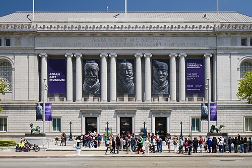 art museum
Asian Art Museum of San Francisco
museum in San Francisco, California
Getting there Nearest stop or station Civic Center, about 3 min on foot OpenStreetMap
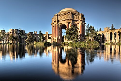
Kevin Cole (en:User:Kevinlcole) / CC BY 2.0
historic districtPalace of Fine Arts
structure in San Francisco
Getting there Nearest stop or station Presidio Transit Center, about 11 min on foot OpenStreetMap
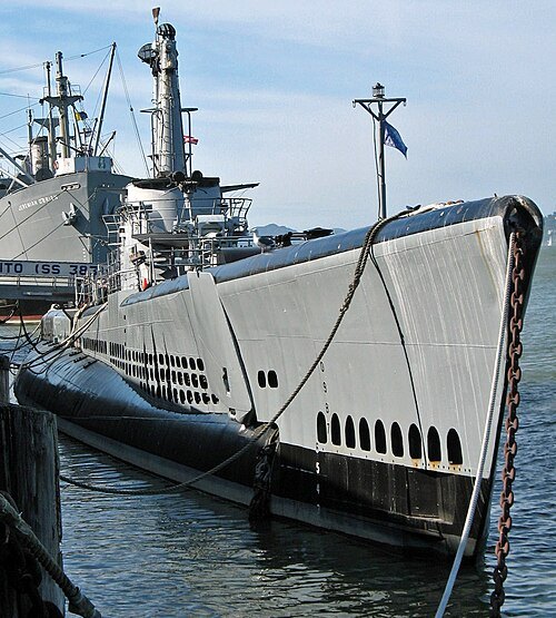 military museum
USS Pampanito
1943 Balao-class submarine
Getting there Nearest stop or station Red & White Fleet, about 2 min on foot OpenStreetMap
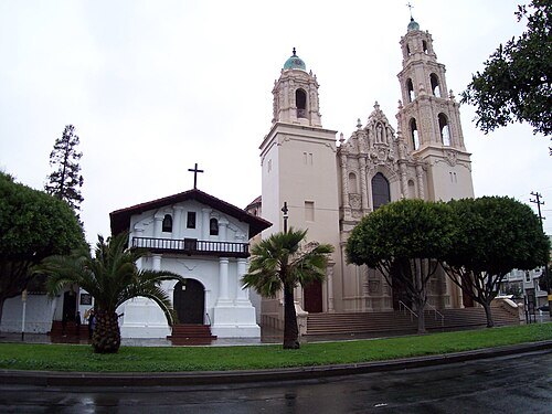
Photograph by Robert A. Estremo / CC BY-SA 2.0
church buildingMission San Francisco de Asís
mission in San Francisco
Getting there Nearest stop or station Church Street & Market Street, about 5 min on foot OpenStreetMap
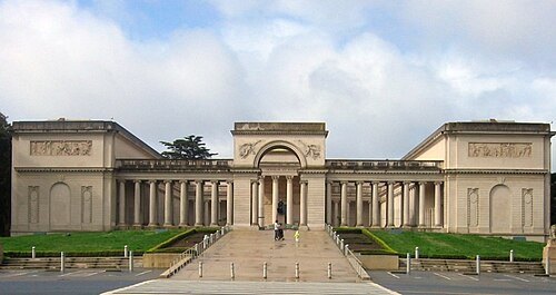
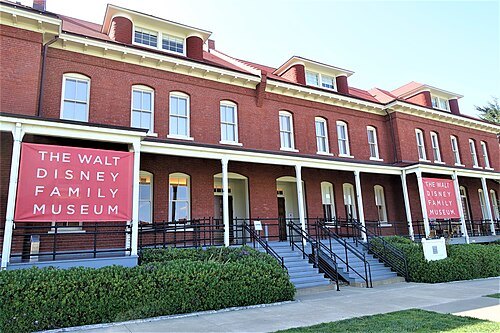 history museum
The Walt Disney Family Museum
museum in San Francisco, California
Getting there Nearest stop or station Presidio Transit Center, about 3 min on foot OpenStreetMap
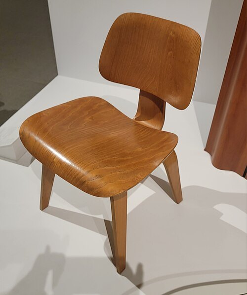 art museum
Oakland Museum of California
art museum in Oakland, California
Getting there Nearest stop or station Lake Merritt, about 3 min on foot OpenStreetMap
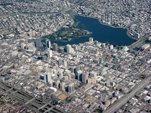 lagoon
Lake Merritt
lagoon in Oakland, California, United States
Getting there Nearest stop or station 2nd Avenue Northbound, about 11 min on foot OpenStreetMap
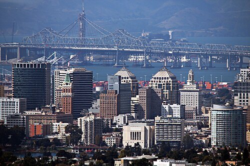 sanctuary city
Oakland
city in and county seat of Alameda County, California, United States
Getting there Nearest stop or station 5th Avenue Northbound, about 9 min on foot OpenStreetMap
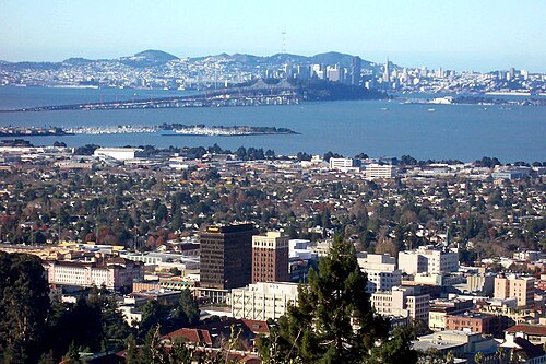
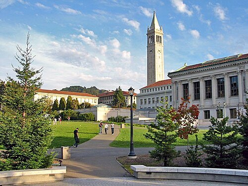 united nations depository library
University of California, Berkeley
public university in Berkeley, California, USA
Getting there Nearest stop or station Downtown Berkeley, about 14 min on foot OpenStreetMap
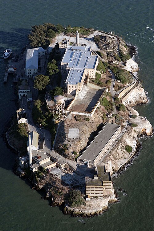 museum
Alcatraz Federal Penitentiary
prison in the San Francisco Bay
Getting there Nearest stop or station S.E.A.T Tram, about 3 min on foot OpenStreetMap
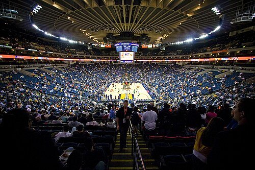 arena
Oakland Arena
architectural structure in Oakland, California, USA
Getting there Nearest stop or station Oakland-Coliseum/Airport, about 8 min on foot OpenStreetMap
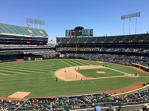 multi-purpose stadium
Oakland Coliseum
baseball stadium in Oakland, California, United States
Getting there Nearest stop or station Oakland-Coliseum/Airport, about 4 min on foot OpenStreetMap
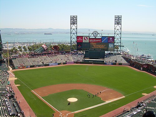
User Coasttocoast on en.wikipedia / CC BY-SA 3.0
stadiumOracle Park
baseball stadium in San Francisco, California, USA
Getting there Nearest stop or station 2nd & King, about 2 min on foot OpenStreetMap
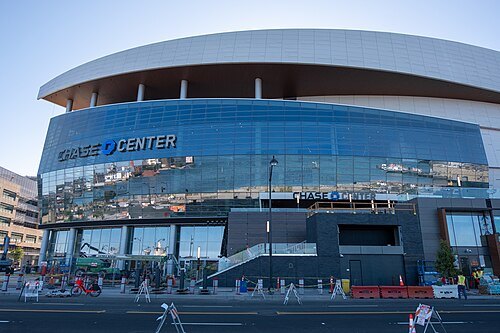
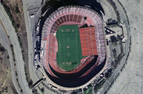
Photograph: NASA / Public domain
stadiumCandlestick Park
former stadium in San Francisco, California
Getting there Nearest stop or station Le Conte, about 18 min on foot OpenStreetMap
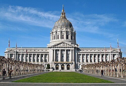 city hall
San Francisco City Hall
city hall for the City and County of San Francisco, California, USA
Getting there Nearest stop or station Van Ness, about 7 min on foot OpenStreetMap
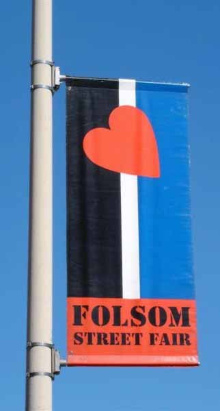
Dlloyd at English Wikipedia / CC BY-SA 3.0
street fairFolsom Street Fair
annual BDSM and leather subculture street fair in San Francisco, California, USA
Getting there Nearest stop or station Van Ness, about 9 min on foot OpenStreetMap
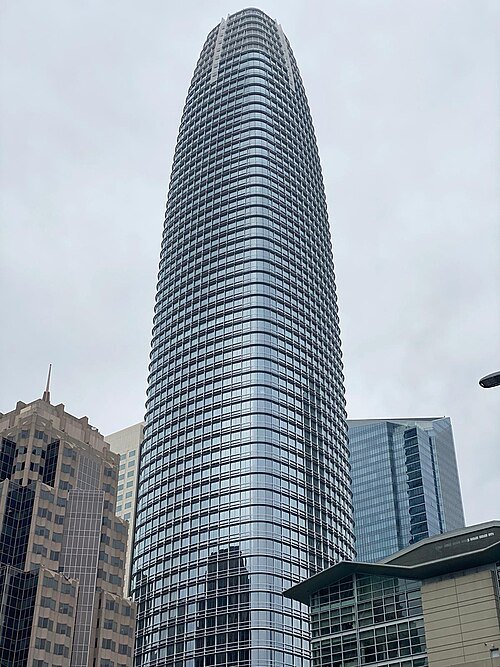 skyscraper
Salesforce Tower
office building in San Francisco
Getting there Nearest stop or station Salesforce Transit Center, about 1 min on foot OpenStreetMap
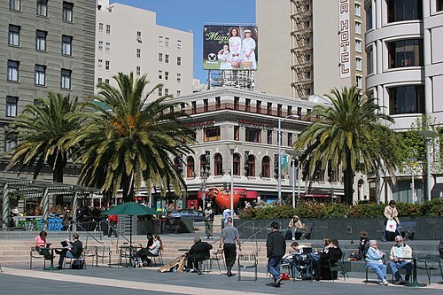
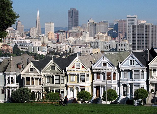
Samuel Wantman on en.wikipedia / CC BY-SA 3.0
parkAlamo Square
residential neighborhood and park in San Francisco, California, United States
Getting there Nearest stop or station Duboce Avenue & Noe Street, about 12 min on foot OpenStreetMap
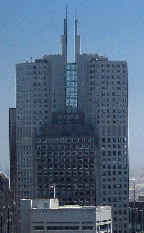 skyscraper
345 California Center
skyscraper
Getting there Nearest stop or station Embarcadero, about 5 min on foot OpenStreetMap
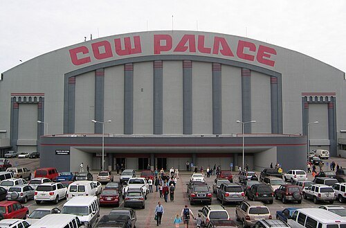
Dante Alighieri / CC BY-SA 3.0
concert hallCow Palace
indoor arena located in Daly City, California, USA
Getting there Nearest stop or station Sunnydale, about 19 min on foot OpenStreetMap
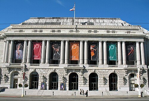 opera house
War Memorial Opera House
opera house in San Francisco, California, United States, home of the San Francisco Opera company
Getting there Nearest stop or station Van Ness, about 6 min on foot OpenStreetMap
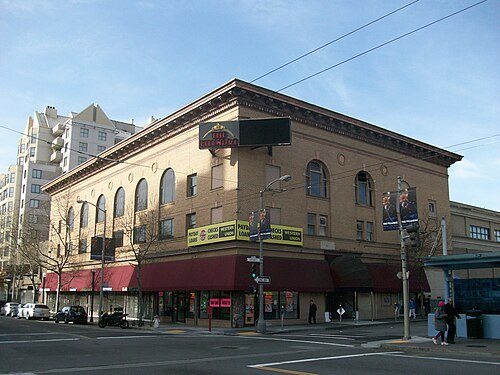
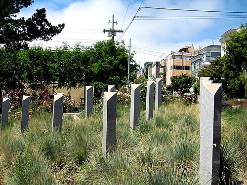 sculpture
Pink Triangle Park
mini-park located in the Castro District of San Francisco, California.
Getting there Nearest stop or station Castro, about 1 min on foot OpenStreetMap
- pier
Pier 39
shopping center in San Francisco, California
Getting there Nearest stop or station Red & White Fleet, about 7 min on foot OpenStreetMap
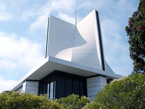
Gndawydiak at English Wikipedia / Public domain
catholic cathedralCathedral of Saint Mary of the Assumption
church in San Francisco, California, United States
Getting there Nearest stop or station Civic Center, about 18 min on foot OpenStreetMap
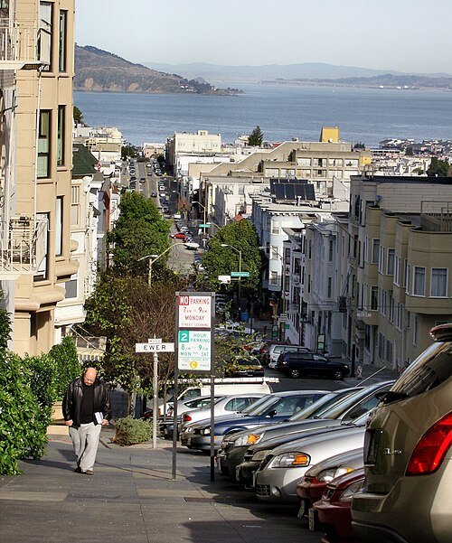
Fred Hsu (Wikipedia:User:Fredhsu on en.wikipedia) / CC BY-SA 3.0
hillNob Hill
neighborhood in San Francisco, California
Getting there Nearest stop or station Chinatown-Rose Pak, about 9 min on foot OpenStreetMap
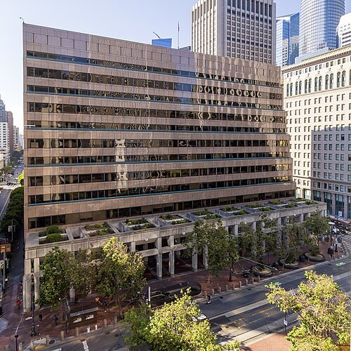 federal reserve bank
Federal Reserve Bank of San Francisco
federal bank in San Francisco, California, U.S.
Getting there Nearest stop or station Embarcadero, about 2 min on foot OpenStreetMap
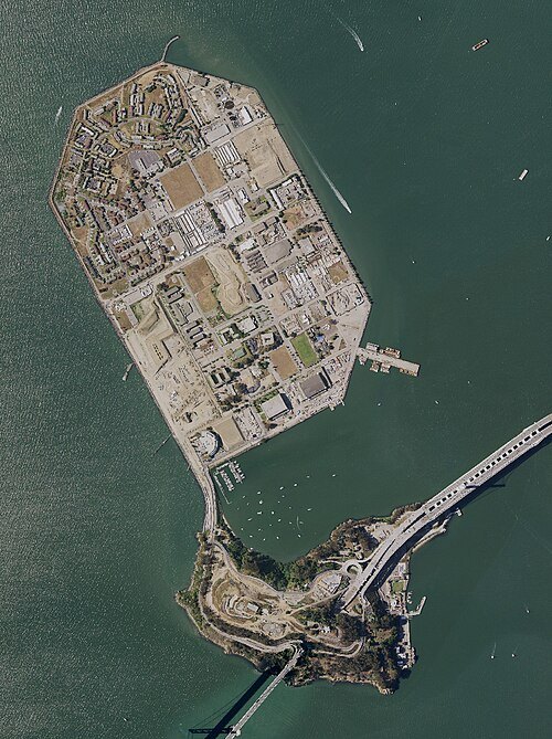
- walk of fame
Walk of Game
video game industry monument
Getting there Nearest stop or station Yerba Buena/Moscone, about 4 min on foot OpenStreetMap
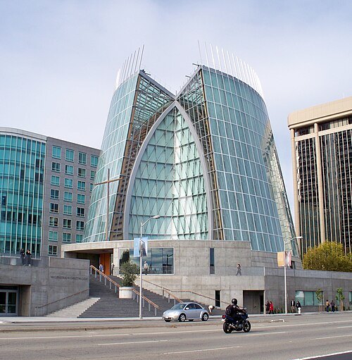 diocese of the catholic church
Diocese of Oakland
diocese of the Catholic Church in the United States
Getting there Nearest stop or station 14th Street, about 1 min on foot OpenStreetMap
Cheers. Trance addict - Armin van Buuren - Oceanlab / CC BY-SA 3.0
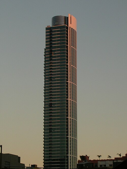
skyscraperOne Rincon Hill
Skyscraper
Getting there Nearest stop or station Brannan, about 7 min on foot OpenStreetMap
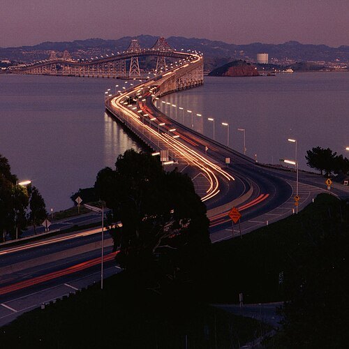
Caltrans staff / Public domain
double-decker bridgeRichmond–San Rafael Bridge
bridge crossing the San Francisco Bay in Marin and Contra Costa counties in California, United States


Places to eat
- restaurant
Cafe Zoetrope
Food: italian
Nothing here matches that. Clear a filter and try again.
Opening hours and tickets: OpenStreetMap contributors. Each one shows the day a volunteer last wrote it down, so check the official site before you set out.