Portland: what to see and where to eat
Everything below comes from open data and each row says where it came from. We have not been to any of these places and we do not rank them.
Filters
Things to see
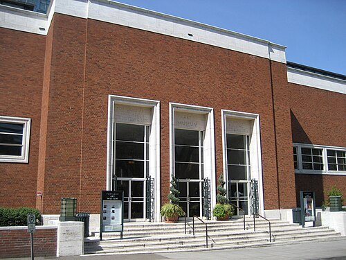
M.O. Stevens at en.wikipedia / Public domain
art museumPortland Art Museum
art museum in Portland, Oregon
Getting there Nearest stop or station Southwest 6th & Madison, about 4 min on foot OpenStreetMap
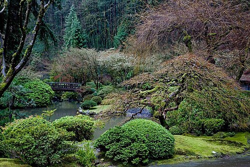 park
Portland Japanese Garden
garden in Portland, Oregon, USA
Getting there Nearest stop or station Washington Park, about 16 min on foot OpenStreetMap
- zoo
Oregon Zoo
zoo in the United States
Getting there Nearest stop or station Zoo Train, about 2 min on foot OpenStreetMap
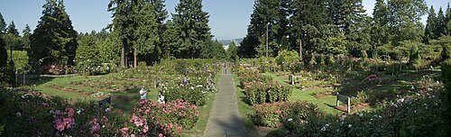 park
International Rose Test Garden
Rose garden in Portland, Oregon, United States
Getting there Nearest stop or station Goose Hollow/Southwest Jefferson Street, about 14 min on foot OpenStreetMap
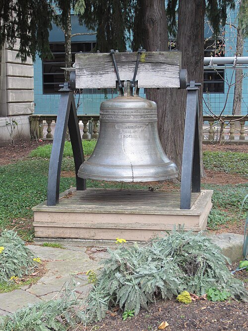
Another Believer / CC BY-SA 3.0
sculptureLiberty Bell
bell in Portland, Oregon
Getting there Nearest stop or station City Hall/Southwest 5th & Jefferson, about 1 min on foot OpenStreetMap
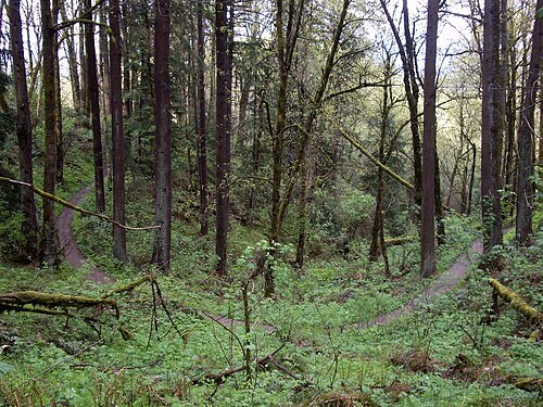
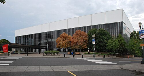 arena
Veterans Memorial Coliseum
indoor arena in Portland, Oregon, USA
Getting there Nearest stop or station Interstate/Rose Quarter, about 4 min on foot OpenStreetMap
- tower block
Portland Building
municipal office building in Portland
Getting there Nearest stop or station City Hall/Southwest 5th & Jefferson, about 1 min on foot OpenStreetMap
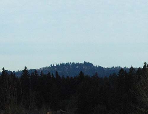
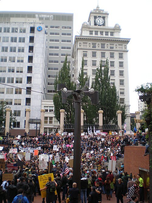
Another Believer / CC BY-SA 3.0
sculptureWeather Machine
lumino-kinetic bronze sculpture
Getting there Nearest stop or station Pioneer Square North, about 1 min on foot OpenStreetMap
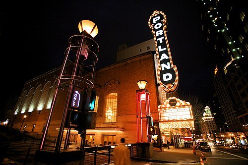 concert hall
Arlene Schnitzer Concert Hall
historic theater building and performing arts center in Portland, Oregon, United States
Getting there Nearest stop or station Southwest 6th & Madison, about 3 min on foot OpenStreetMap
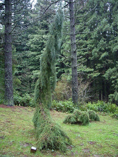 arboretum
Hoyt Arboretum
park in the United States of America
Getting there Nearest stop or station Washington Park, about 11 min on foot OpenStreetMap
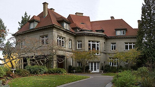
PittockBack.jpg: Cacophony derivative work: Tiptoety talk / CC BY-SA 3.0
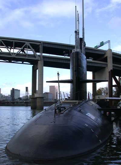
The original uploader was Decumanus at English Wikipedia. / CC BY-SA 3.0
preserved watercraftUSS Blueback
1959 Barbel-class submarine
Getting there Nearest stop or station OMSI/Southeast Water, about 5 min on foot OpenStreetMap
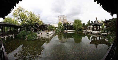 chinese garden
Lan Su Chinese Garden
Chinese garden in Portland, Oregon, U.S.
Getting there Nearest stop or station Old Town/Chinatown, about 2 min on foot OpenStreetMap
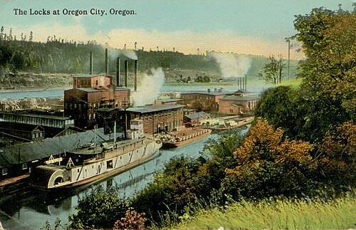
UnknownThe original uploader was Mtsmallwood at English Wikipedia. / Public domain
canalWillamette Falls Locks
lock system on the Willamette River in Oregon, United States
Getting there Nearest stop or station Oregon City Transit Center, about 18 min on foot OpenStreetMap
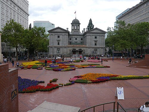
William Beutler from Washinton, DC, USA / CC BY 2.0
squarePioneer Courthouse Square
Public space in Portland, Oregon, U.S.
Getting there Nearest stop or station Pioneer Courthouse/Southwest 6th Avenue, about 1 min on foot OpenStreetMap
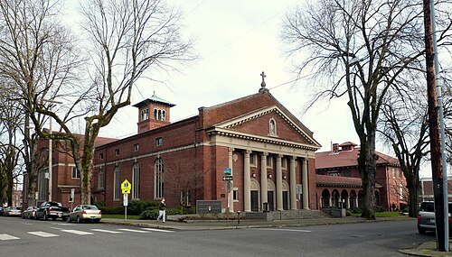 cathedral
St. Mary's Cathedral
Roman Catholic cathedral in Portland, Oregon, USA
Getting there Nearest stop or station Providence Park, about 5 min on foot OpenStreetMap
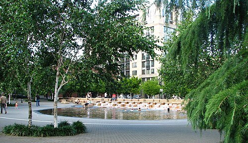 square
Jamison Square
Public park in Portland, Oregon, U.S.
Getting there Nearest stop or station Portland Union Station, about 6 min on foot OpenStreetMap
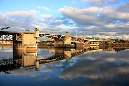 road bridge
Morrison Bridge
bridge in Portland, Oregon, USA
Getting there Nearest stop or station Oak Street/Southwest 1st Avenue, about 5 min on foot OpenStreetMap
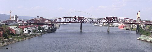
Original uploader was Cacophony at en.wikipedia / CC BY-SA 3.0
road-rail bridgeBroadway Bridge
bridge in Portland, Oregon, USA
Getting there Nearest stop or station Portland Union Station, about 6 min on foot OpenStreetMap
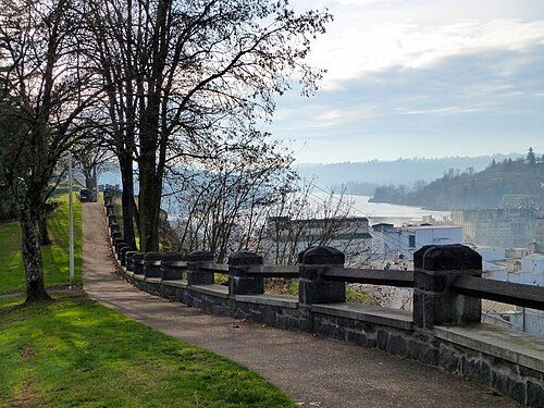 park
McLoughlin Promenade
historic park in Oregon City, Oregon, USA
Getting there Nearest stop or station Oregon City Transit Center, about 13 min on foot OpenStreetMap
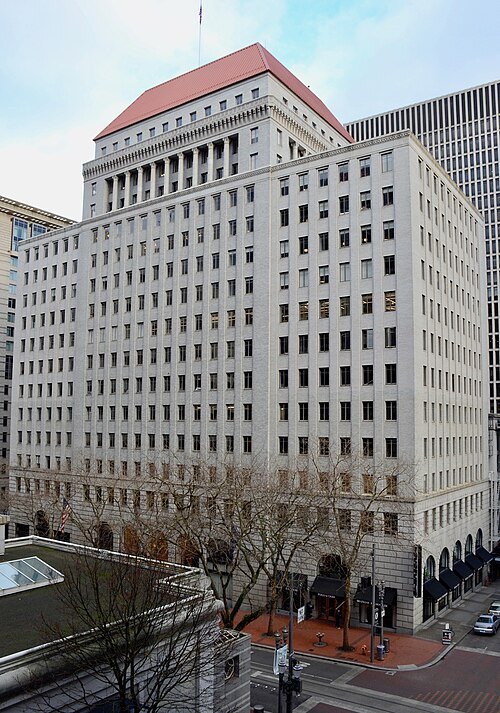 tower block
Public Service Building
historic building in Portland, Oregon, United States
Getting there Nearest stop or station Pioneer Square South, about 2 min on foot OpenStreetMap
- statue
Portlandia
Statue by Raymond Kaskey in Portland, USA
Getting there Nearest stop or station City Hall/Southwest 5th & Jefferson, about 1 min on foot OpenStreetMap
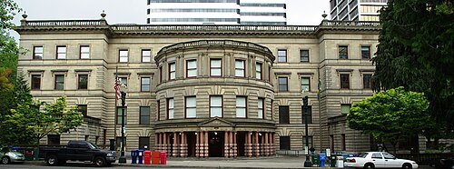 city hall
Portland City Hall
government building in Oregon, United States
Getting there Nearest stop or station City Hall/Southwest 5th & Jefferson, about 1 min on foot OpenStreetMap
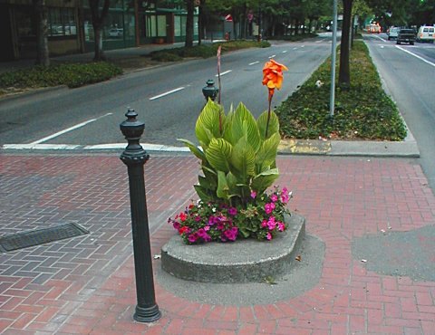 urban park
Mill Ends Park
miniature city park in downtown Portland, Oregon, United States
Getting there Nearest stop or station Yamhill District, about 2 min on foot OpenStreetMap
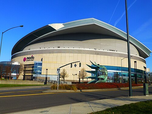 arena
Moda Center
sports arena in Portland, Oregon, USA
Getting there Nearest stop or station Rose Quarter Transit Center, about 2 min on foot OpenStreetMap
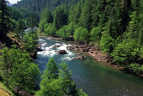
U.S. Forest Service- Pacific Northwest Region / Public domain
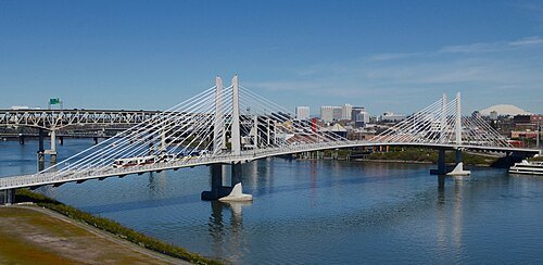 tram bridge
Tilikum Crossing, Bridge of the People
cable stayed bridge in Portland, Oregon, United States
Getting there Nearest stop or station OMSI/Southeast Water, about 6 min on foot OpenStreetMap
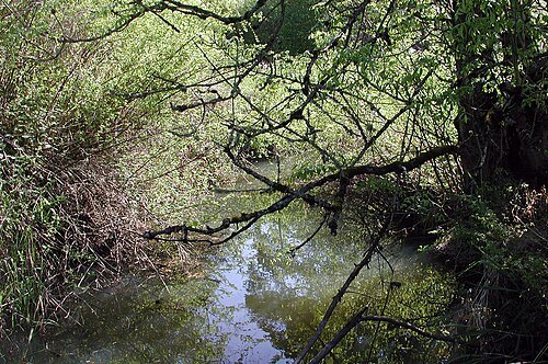 river
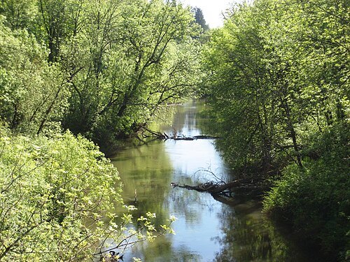
Fanno Creek
natural watercourse in Washington County, Oregon, United States of America
Getting there Nearest stop or station Tualatin WES Station, about 16 min on foot OpenStreetMap
 volcano observatory
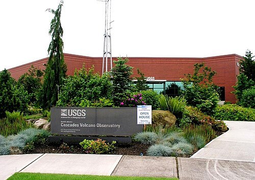
Cascades Volcano Observatory
Volcano observatory
Getting there Nearest stop or station Mill Plain Transit Center, about 20 min on foot OpenStreetMap
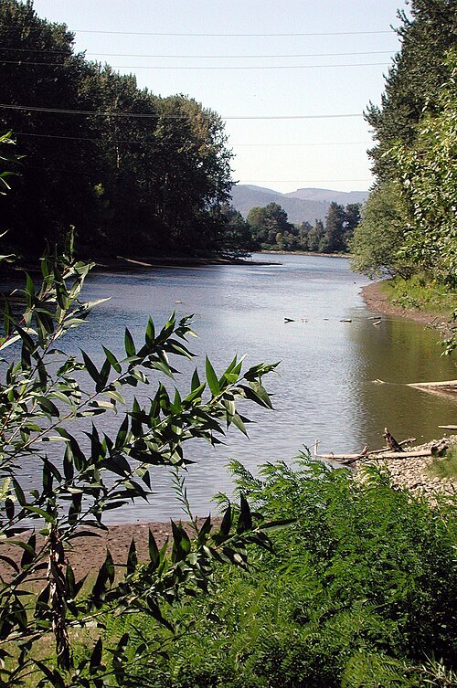 river
Columbia Slough
narrow waterway in the floodplain of the Columbia River in the U.S. state of Oregon
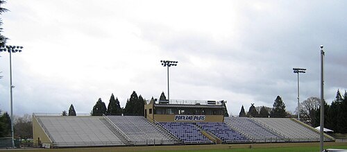
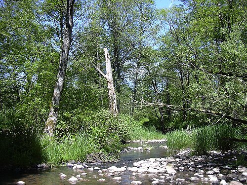 river
Johnson Creek
Willamette River tributary in Oregon
Getting there Nearest stop or station Milwaukie/Main Street, about 6 min on foot OpenStreetMap
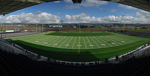
 skyscraper
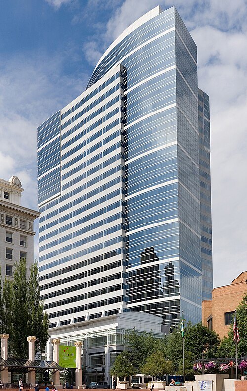
Fox Tower
skyscraper in Portland, Oregon, U.S.
Getting there Nearest stop or station Pioneer Square South, about 2 min on foot OpenStreetMap
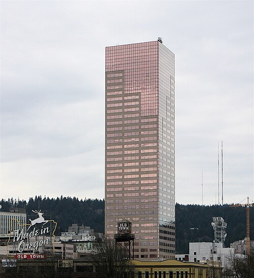 skyscraper
U.S. Bancorp Tower
skyscraper in Portland, Oregon
Getting there Nearest stop or station Southwest 5th & Oak, about 2 min on foot OpenStreetMap
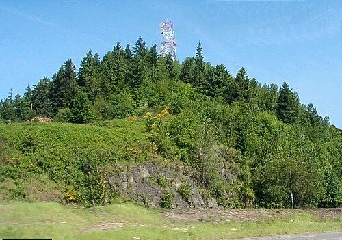
Lyn Topinka of USGS / Public domain
mountainRocky Butte
extinct cinder cone butte in Portland, Oregon
Getting there Nearest stop or station Parkrose/Sumner Transit Center, about 20 min on foot OpenStreetMap
- dam
T. W. Sullivan Hydroelectric Plant
dam in Clackamas County, Oregon, United States of America
Getting there Nearest stop or station Oregon City Transit Center, about 17 min on foot OpenStreetMap
- mosque
As-Saber Mosque
mosque in the United States
Getting there Nearest stop or station Barbur Boulevard Transit Center, about 8 min on foot OpenStreetMap
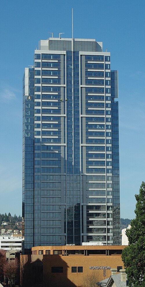 skyscraper
Park Avenue West Tower
skyscraper in Portland, Oregon
Getting there Nearest stop or station Galleria/Southwest 10th Avenue, about 1 min on foot OpenStreetMap
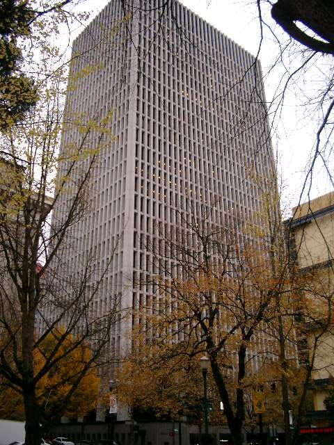
Ajbenj at English Wikipedia / Public domain
skyscraperStandard Insurance Center
27-story office building in Portland, Oregon
Getting there Nearest stop or station Pioneer Place/Southwest 5th Avenue, about 3 min on foot OpenStreetMap
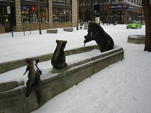
Kevin Noone from Portland, USA / CC BY 2.0
sculptureAnimals in Pools
sculpture series in Portland, Oregon
Getting there Nearest stop or station Pioneer Place/Southwest 5th Avenue, about 1 min on foot OpenStreetMap
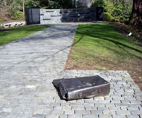
? (sculpture) / EncMstr (photo) / CC BY-SA 3.0
sculptureOregon Holocaust Memorial
Holocaust memorial in Portland, Oregon
Getting there Nearest stop or station Goose Hollow/Southwest Jefferson Street, about 14 min on foot OpenStreetMap
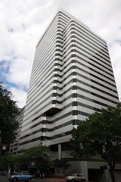 skyscraper
PacWest Center
30-story office skyscraper in Portland, Oregon
Getting there Nearest stop or station City Hall/Southwest 5th & Jefferson, about 1 min on foot OpenStreetMap
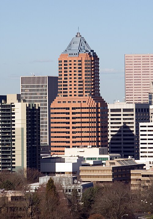 skyscraper
KOIN Tower
building in Portland, Oregon, US
Getting there Nearest stop or station City Hall/Southwest 5th & Jefferson, about 4 min on foot OpenStreetMap
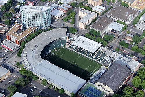
- sports venue
Portland Ice Arena
arena
Getting there Nearest stop or station Providence Park, about 16 min on foot OpenStreetMap


Places to eat
Nothing here matches that. Clear a filter and try again.
Opening hours and tickets: OpenStreetMap contributors. Each one shows the day a volunteer last wrote it down, so check the official site before you set out.