Pittsburgh: what to see and where to eat
Everything below comes from open data and each row says where it came from. We have not been to any of these places and we do not rank them.
Filters
Things to see
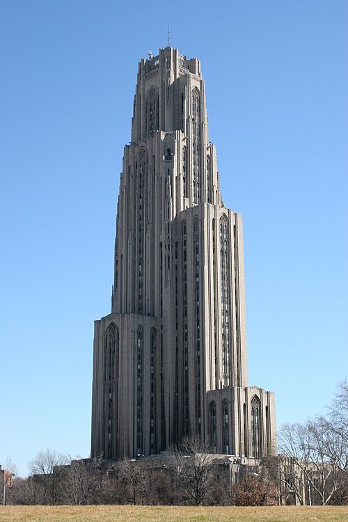
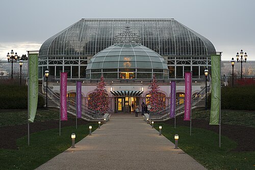
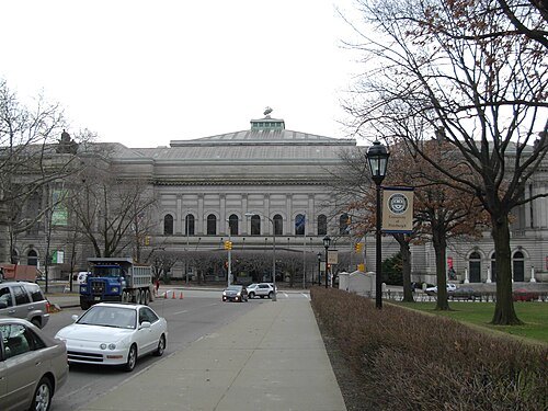 natural history museum
Carnegie Museum of Natural History
natural history museum in Pittsburgh, Pennsylvania, United States
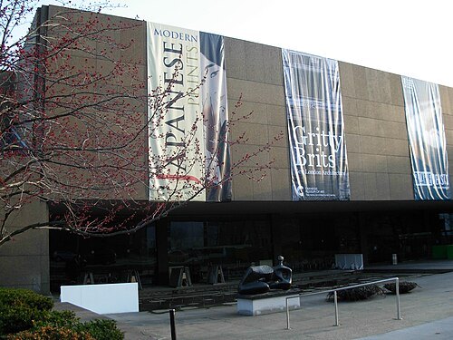
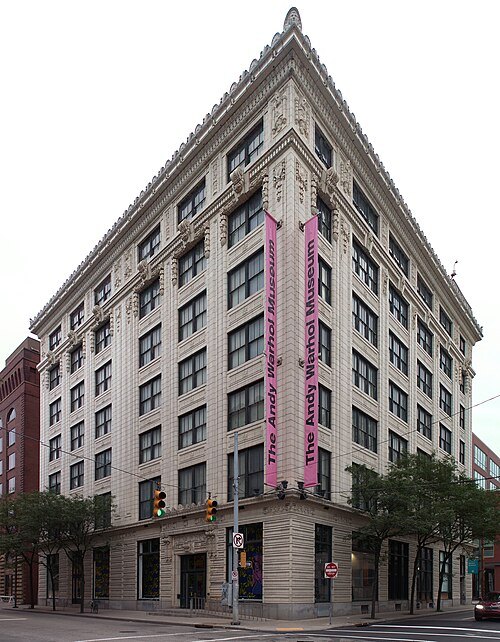 art museum
Andy Warhol Museum
art museum in Pittsburgh, Pennsylvania
Getting there Nearest stop or station North Side, about 10 min on foot OpenStreetMap
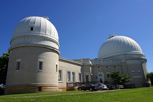
 science museum
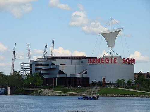
Kamin Science Center
science and technology museum in Pittsburgh, Pennsylvania
Getting there Nearest stop or station Allegheny, about 4 min on foot OpenStreetMap
Derek Jensen (Tysto) / Public domain
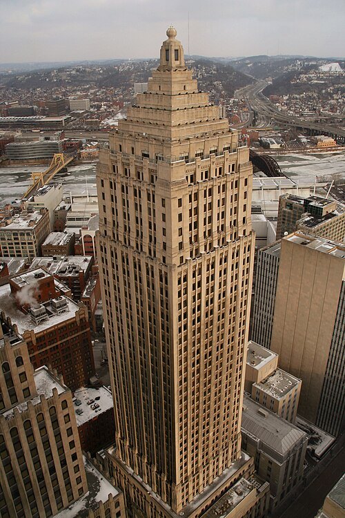
tower blockGulf Tower
building
Getting there Nearest stop or station Pittsburgh Greyhound Bus Station, about 4 min on foot OpenStreetMap
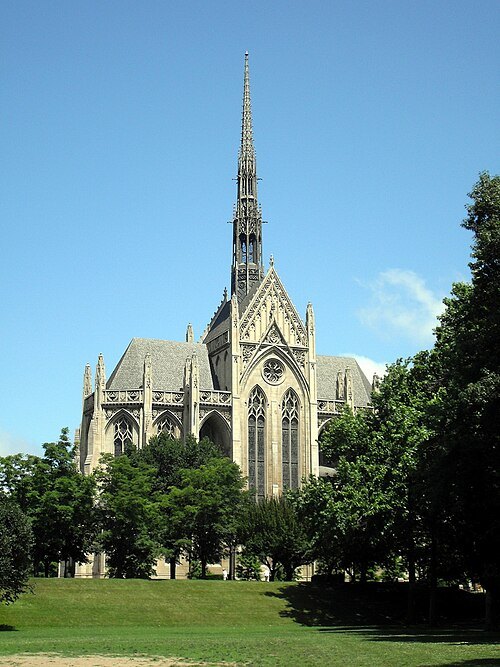
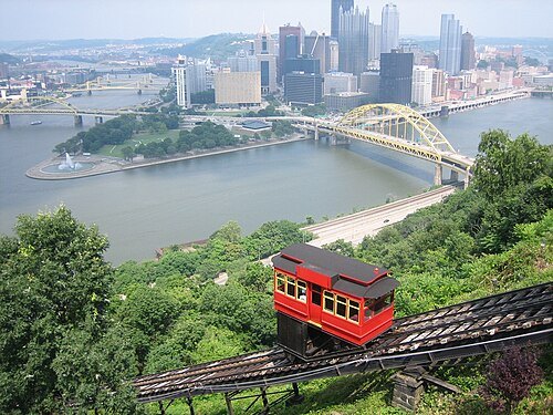 funicular
Duquesne Incline
funicular in Pittsburgh, Pennsylvania
Getting there Nearest stop or station Duquesne Lower Station, about 1 min on foot OpenStreetMap
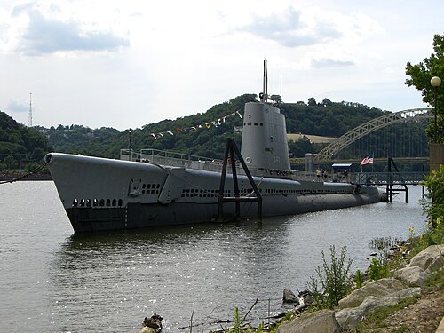 military museum
USS Requin
US Navy diesel-electric submarine (1945-1968)
Getting there Nearest stop or station Allegheny, about 5 min on foot OpenStreetMap
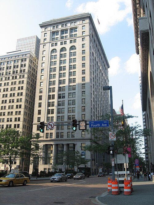
TheZachMorrisExperience / CC BY-SA 3.0
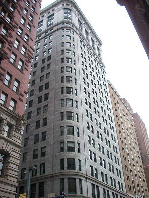
skyscraperFrick Building
skyscraper in Pittsburgh, Pennsylvania, United States of America
Getting there Nearest stop or station Steel Plaza, about 3 min on foot OpenStreetMap
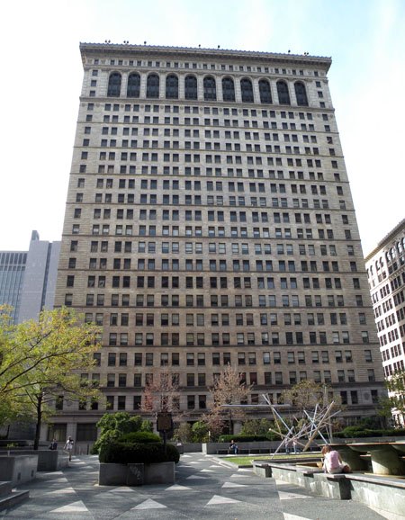 tower block
Oliver Building
skyscraper in Pittsburgh, Pennsylvania
Getting there Nearest stop or station Wood Street, about 3 min on foot OpenStreetMap
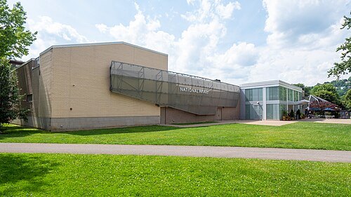 zoo
National Aviary
the only independent indoor nonprofit aviary in the United States
Getting there Nearest stop or station North Side, about 10 min on foot OpenStreetMap
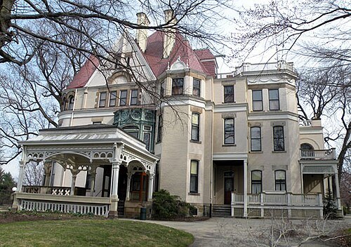
Lee Paxton (Original uploader was Leepaxton at en.wikipedia) / CC BY-SA 4.0
museumFrick Art & Historical Center
cluster of museums and historical buildings in Pittsburgh, Pennsylvania
Getting there Nearest stop or station Homewood, about 9 min on foot OpenStreetMap
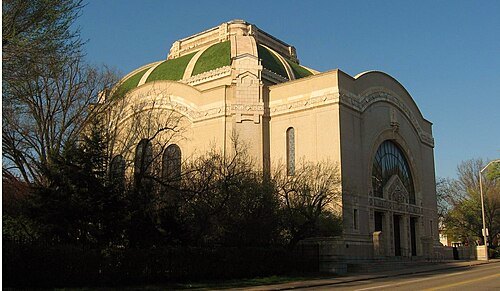
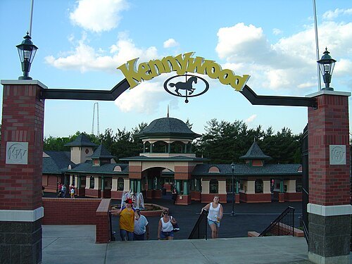
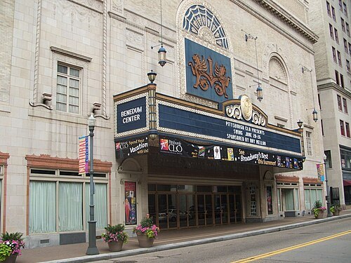 concert hall
Benedum Center
theater and concert hall, formerly a movie theater, in Pittsburgh, United States
Getting there Nearest stop or station Liberty Ave + 7th St (Clark Bldg), about 1 min on foot OpenStreetMap
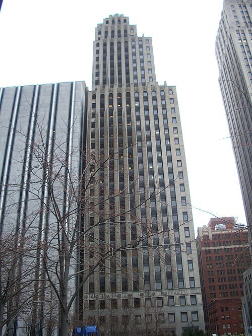
Mr. Vitale (talk) / Public domain
skyscraperKoppers Tower
skyscraper in Pittsburgh
Getting there Nearest stop or station Steel Plaza, about 3 min on foot OpenStreetMap
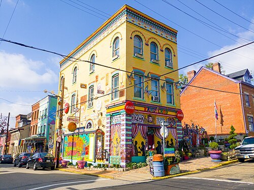 art museum
Randyland
art museum in Pittsburgh, Pennsylvania
Getting there Nearest stop or station North Side, about 18 min on foot OpenStreetMap
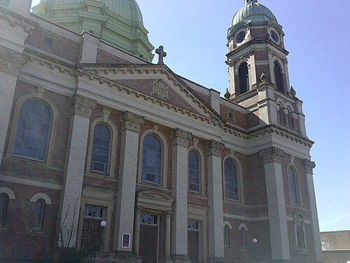
Staticshakedown / CC BY-SA 4.0
church buildingImmaculate Heart of Mary Church
church building in Pittsburgh, Pennsylvania
Getting there Nearest stop or station Herron Station, about 5 min on foot OpenStreetMap
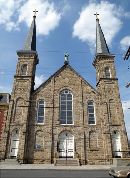
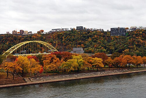 archaeological site
Point State Park
State Park in Pittsburgh, Pennsylvania, United States
Getting there Nearest stop or station Duquesne Lower Station, about 8 min on foot OpenStreetMap
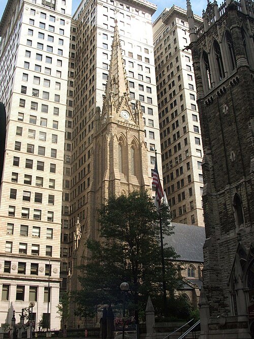 anglican or episcopal cathedral
Trinity Cathedral
episcopal cathedral in Pittsburgh, Pennsylvania
Getting there Nearest stop or station Wood Street, about 2 min on foot OpenStreetMap
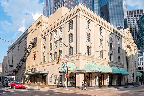 performing arts center
Heinz Hall
performing arts center in Pittsburgh, Pennsylvania
Getting there Nearest stop or station Liberty Ave + 7th St (Clark Bldg), about 3 min on foot OpenStreetMap
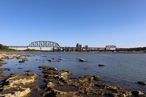
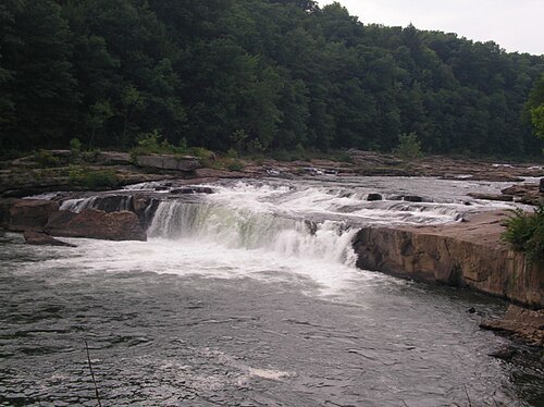
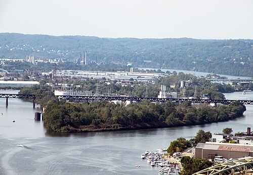
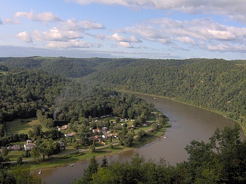 river
Allegheny River
river in western Pennsylvania and New York, United States
Getting there Nearest stop or station Duquesne Lower Station, about 7 min on foot OpenStreetMap
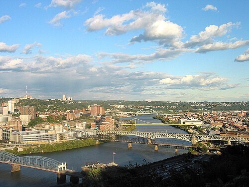
The original uploader was Ronjamin at English Wikipedia. / CC BY-SA 2.5
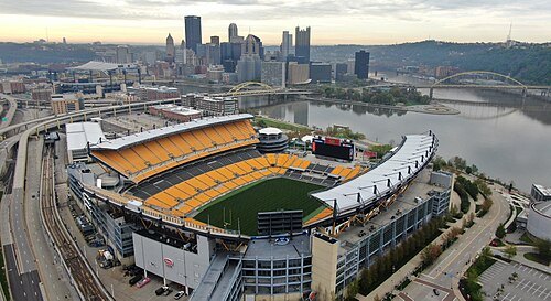 stadium
Acrisure Stadium
American football stadium that is home to the Pittsburgh Steelers and Pittsburgh Panthers
Getting there Nearest stop or station Allegheny, about 3 min on foot OpenStreetMap
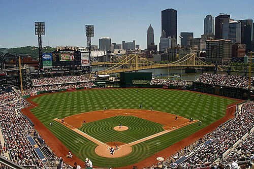 baseball venue
PNC Park
baseball stadium in Pittsburgh, Pennsylvania, United States
Getting there Nearest stop or station North Side, about 5 min on foot OpenStreetMap
Derek Jensen (Tysto) / Public domain
stadiumCivic Arena
arena in Pittsburgh
Getting there Nearest stop or station East Busway - near Amtrak/Greyhound, about 5 min on foot OpenStreetMap
Sébastien Paquin / CC BY-SA 3.0
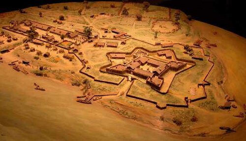
fortFort Duquesne
colonial fort at the confluence of the Allegheny and Monongahela rivers in Pennsylvania
Getting there Nearest stop or station Gateway, about 9 min on foot OpenStreetMap
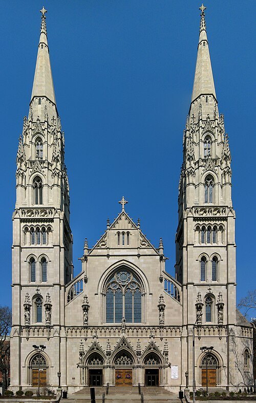 diocese of the catholic church
Diocese of Pittsburgh
diocese of the Catholic Church in the United States
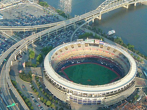
User MaxVeers on en.wikipedia / Public domain
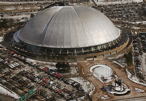
stadiumThree Rivers Stadium
stadium in Pittsburgh, Pennsylvania, US
Getting there Nearest stop or station North Side, about 4 min on foot OpenStreetMap
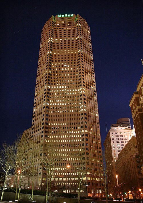
Derek Jensen (Tysto) / Public domain
skyscraperBNY Mellon Center
skyscraper in Pittsburgh, Pennsylvania, United States
Getting there Nearest stop or station Steel Plaza, about 1 min on foot OpenStreetMap
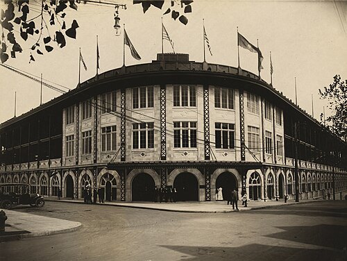
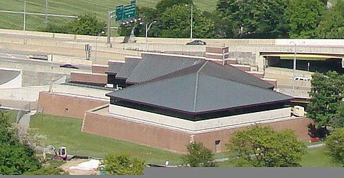
Downtown_Pittsburgh_May_2008.jpg: Allie Caufield derivative work: GrapedApe (talk) / CC BY 2.0
fortFort Pitt
fort that was built at the Forks of the Ohio
Getting there Nearest stop or station Gateway, about 7 min on foot OpenStreetMap
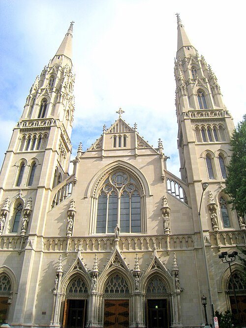
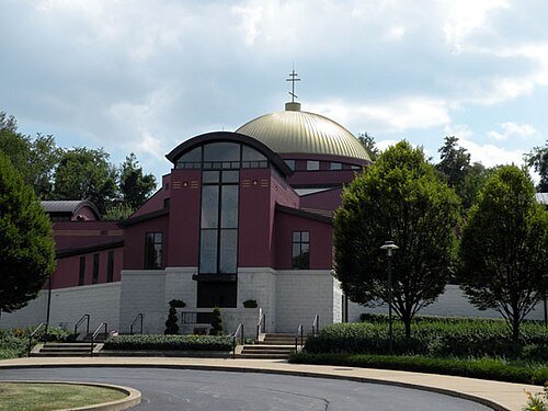 catholic church building
St. John the Baptist Byzantine Catholic Cathedral
church in Pennsylvania, United States
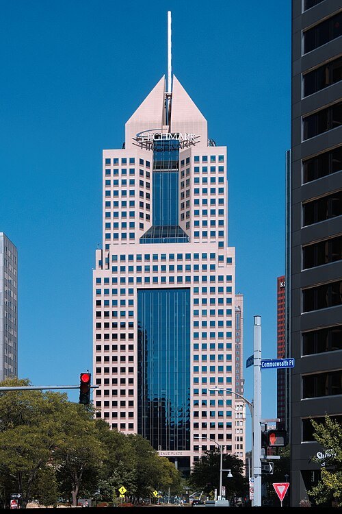 skyscraper
Fifth Avenue Place
skyscraper in Pittsburgh, Pennsylvania, United States
Getting there Nearest stop or station Gateway, about 1 min on foot OpenStreetMap
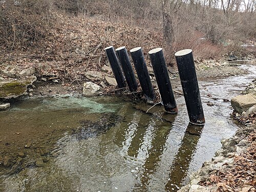
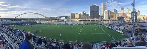 stadium
Highmark Stadium
soccer stadium in Pittsburgh, Pennsylvania, U.S.
Getting there Nearest stop or station Monongahela Lower Station, about 9 min on foot OpenStreetMap
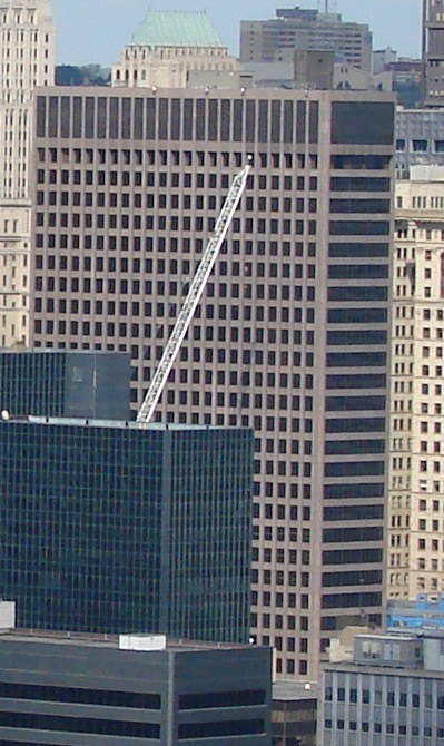
Downtown_Pittsburgh_May_2005.jpg: Allie Caufield derivative work: GrapedApe (talk) / CC BY 2.0
skyscraperOne PNC Plaza
high-rise office building in Pittsburgh, Pennsylvania
Getting there Nearest stop or station Wood Street, about 2 min on foot OpenStreetMap
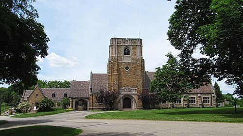
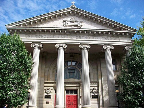
Mr. Vitale (talk) / Public domain
skyscraperThe Carlyle
skyscraper in Pittsburgh
Getting there Nearest stop or station Wood Street, about 6 min on foot OpenStreetMap
- sports venue
Exposition Park
professional baseball venue in Pittsburgh to 1915 (or multiple ballparks)
Getting there Nearest stop or station North Side, about 2 min on foot OpenStreetMap
Derek Jensen (Tysto) / Public domain
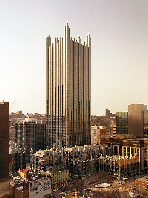
skyscraperOne PPG Place
tallest building of the PPG Place complex, Pittsburgh
Getting there Nearest stop or station Gateway, about 4 min on foot OpenStreetMap
Doug Kerr from Albany, NY, United States / CC BY-SA 2.0
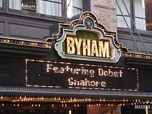
performing arts centerByham Theater
theater and movie theater in Pittsburgh, Pennsylvania, United States
Getting there Nearest stop or station Gateway, about 4 min on foot OpenStreetMap
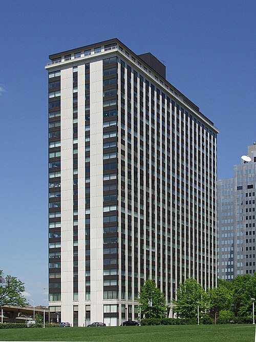
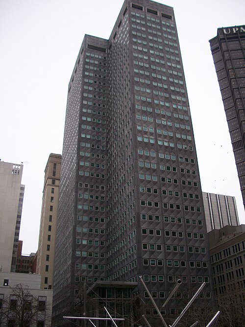
Mr. Vitale (talk) / Public domain
skyscraperRegional Enterprise Tower
410-foot-tall skyscraper in Downtown Pittsburgh, Pennsylvania
Getting there Nearest stop or station Steel Plaza, about 3 min on foot OpenStreetMap
- sports venue
Recreation Park
sports venue in Allegheny (Pittsburgh), Pennsylvania
Getting there Nearest stop or station Allegheny, about 12 min on foot OpenStreetMap


Places to eat
- restaurant
City Winery
Food: salad, flatbread, cheese, coffee, dessert, ice cream, mediterranean, kebab, chicken, fish, burger
Nothing here matches that. Clear a filter and try again.
Opening hours and tickets: OpenStreetMap contributors. Each one shows the day a volunteer last wrote it down, so check the official site before you set out.