Philadelphia: what to see and where to eat
Everything below comes from open data and each row says where it came from. We have not been to any of these places and we do not rank them.
Filters
Things to see
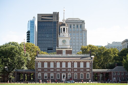 archaeological site
Independence Hall
historic building in Philadelphia, Pennsylvania, USA
Getting there Nearest stop or station 5th Street, about 3 min on foot OpenStreetMap
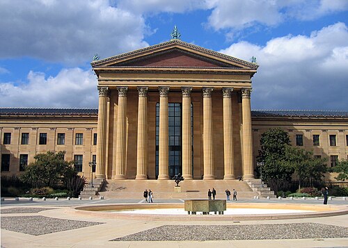 art museum
Philadelphia Museum of Art
art museum in Philadelphia, Pennsylvania
Getting there Nearest stop or station Philadelphia 30th Street Station, about 17 min on foot OpenStreetMap
- preserved watercraft
USS New Jersey
1942 Iowa-class battleship
Getting there Nearest stop or station Entertainment Center, about 6 min on foot OpenStreetMap
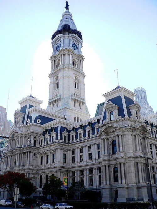
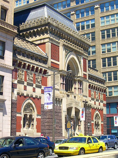 art museum
Pennsylvania Academy of the Fine Arts
museum and art school in Philadelphia, Pennsylvania
Getting there Nearest stop or station Race-Vine, about 2 min on foot OpenStreetMap
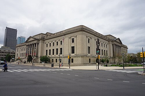 science museum
Franklin Institute
science museum in Philadelphia, Pennsylvania
Getting there Nearest stop or station 22nd Street, about 8 min on foot OpenStreetMap
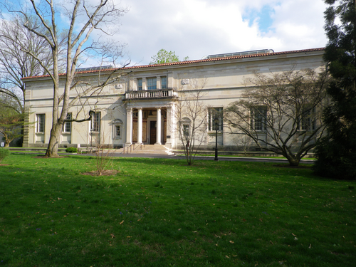 art museum
Barnes Foundation
art museum and educational center in Philadelphia, Pennsylvania
Getting there Nearest stop or station 22nd Street, about 13 min on foot OpenStreetMap
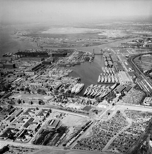
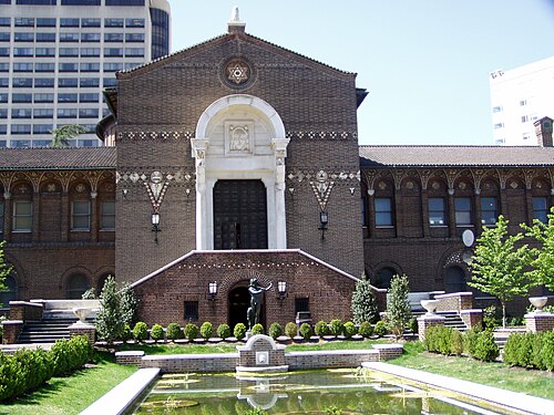
Jeffrey M. Vinocur / CC BY 2.5
archaeological museumUniversity of Pennsylvania Museum of Archaeology and Anthropology
archaeological museum
Getting there Nearest stop or station Penn Medicine, about 2 min on foot OpenStreetMap
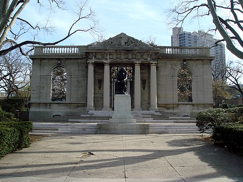 art museum
Rodin Museum
museum located in Philadelphia, Pennsylvania
Getting there Nearest stop or station 22nd Street, about 14 min on foot OpenStreetMap
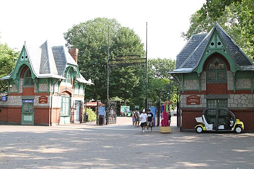
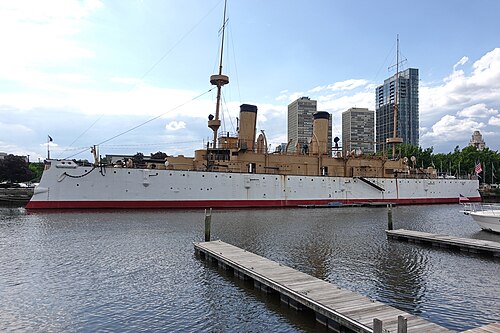 preserved watercraft
USS Olympia
1892 protected cruiser
Getting there Nearest stop or station Girard, about 8 min on foot OpenStreetMap
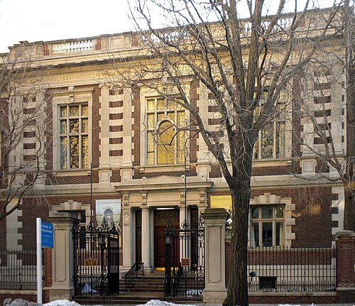 museum building
Mütter Museum
medical museum
Getting there Nearest stop or station 22nd Street, about 1 min on foot OpenStreetMap
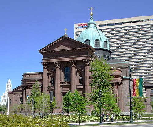 minor basilica
Cathedral Basilica of Saints Peter and Paul
historic church in Pennsylvania, United States
Getting there Nearest stop or station Suburban Station, about 6 min on foot OpenStreetMap
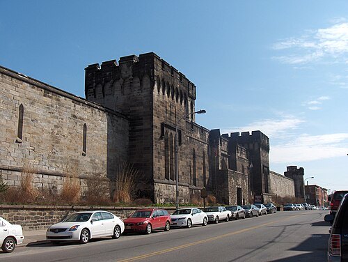 prison museum
Eastern State Penitentiary
historic American prison
Getting there Nearest stop or station Fairmount, about 16 min on foot OpenStreetMap
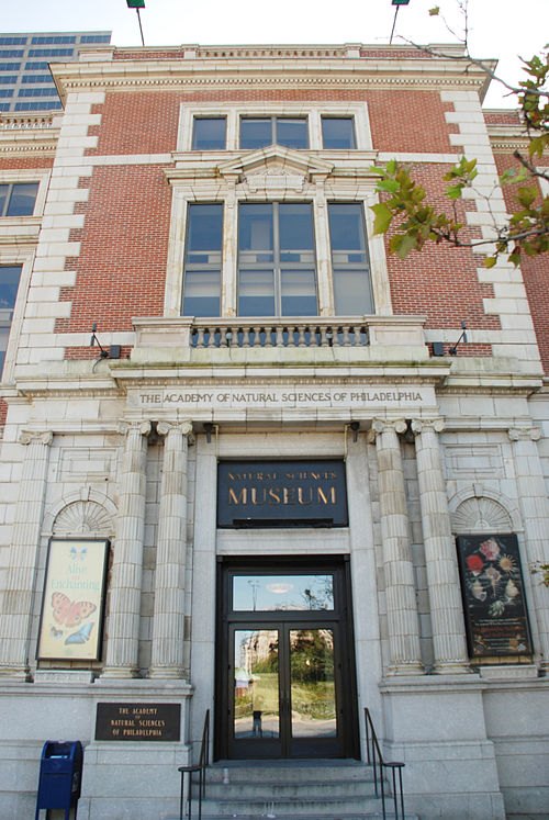 natural history museum
Academy of Natural Sciences of Drexel University
natural history science institution and museum, formerly Academy of Natural Sciences of Philadelphia
Getting there Nearest stop or station 19th Street, about 6 min on foot OpenStreetMap
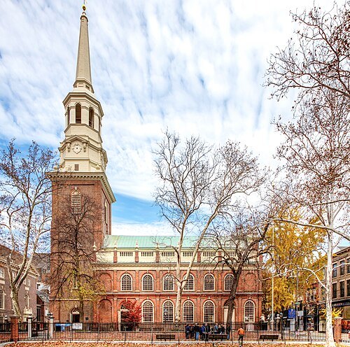 church building
Christ Church
church in Philadelphia, Pennsylvania, United States
Getting there Nearest stop or station 2nd Street, about 1 min on foot OpenStreetMap
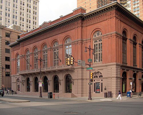 concert hall
Academy of Music
concert hall and opera house in Philadelphia, Pennsylvania, United States
Getting there Nearest stop or station 15th-16th & Locust, about 2 min on foot OpenStreetMap
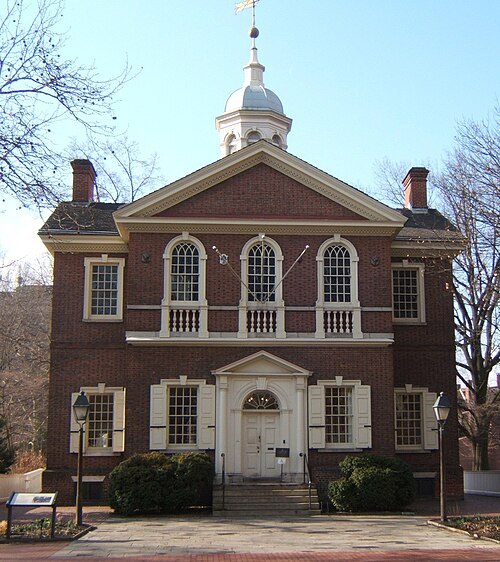 museum
Carpenters' Hall
building in Philadelphia, United States
Getting there Nearest stop or station 5th Street, about 5 min on foot OpenStreetMap
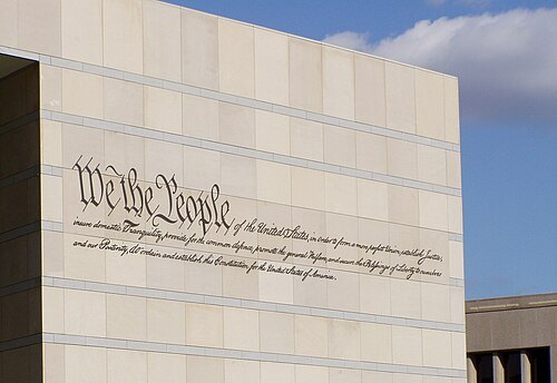
Jeffrey M. Vinocur / CC BY 2.5
museumNational Constitution Center
institution and museum in Philadelphia, Pennsylvania, USA, devoted to the United States Constitution
Getting there Nearest stop or station Franklin Square, about 4 min on foot OpenStreetMap
- tower block
Loews Philadelphia Hotel
Historic building in Philadelphia, Pennsylvania
Getting there Nearest stop or station 13th Street, about 2 min on foot OpenStreetMap
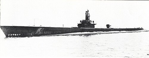
Unknown authorUnknown author / Public domain
military museumUSS Becuna
1944 Balao-class submarine
Getting there Nearest stop or station Penn’s Landing RiverLink Ferry Landing, about 5 min on foot OpenStreetMap
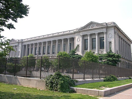
Photo by Derek Ramsey (Ram-Man) / CC BY-SA 2.5
public libraryFree Library of Philadelphia
public library system in Philadelphia, Pennsylvania, USA
Getting there Nearest stop or station Logan, about 4 min on foot OpenStreetMap
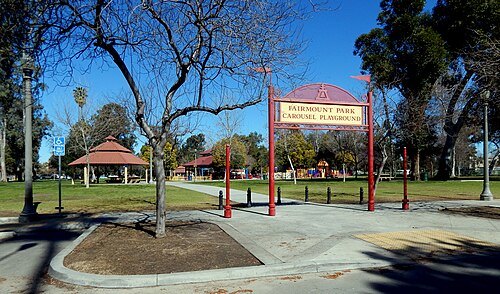 urban park
Fairmount Park
largest municipal park in Philadelphia, Pennsylvania and the historic name for a group of parks located throughout the city
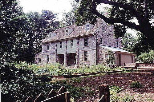
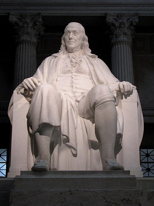
Photo by Michael Parker (Michael H. Parker).James Earle Fraser, sculptor / Public domain
national memorial of the united statesBenjamin Franklin National Memorial
historic site in Pennsylvania, U.S
Getting there Nearest stop or station 19th Street, about 9 min on foot OpenStreetMap
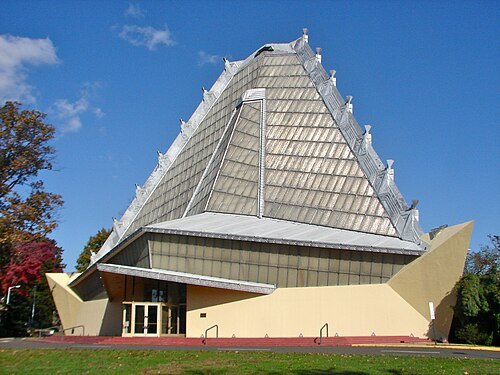 synagogue
Beth Sholom Congregation
synagogue
Getting there Nearest stop or station Elkins Park, about 19 min on foot OpenStreetMap
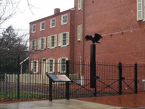 national historic site
Edgar Allan Poe National Historic Site
in Philadelphia, Pennsylvania
Getting there Nearest stop or station Chinatown, about 11 min on foot OpenStreetMap
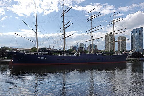 preserved watercraft
Moshulu
four-masted barque
Getting there Nearest stop or station Penn’s Landing RiverLink Ferry Landing, about 7 min on foot OpenStreetMap
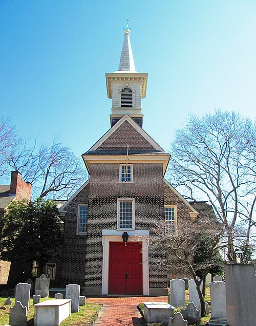
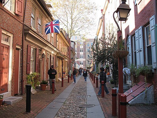
Photo: Mr. Kjetil Ree. / CC BY-SA 3.0
historic districtElfreth's Alley
human settlement in Philadelphia, Pennsylvania, United States of America
Getting there Nearest stop or station 2nd Street, about 5 min on foot OpenStreetMap
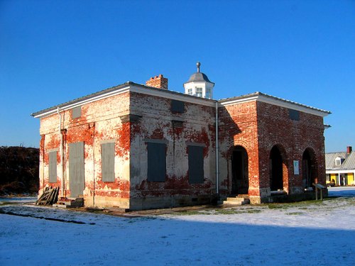
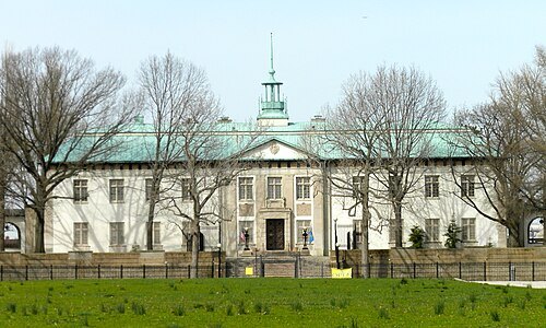 museum
American Swedish Historical Museum
museum in Philadelphia, Pennsylvania, USA
Getting there Nearest stop or station NRG, about 10 min on foot OpenStreetMap
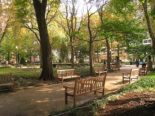 park
Rittenhouse Square
public park in Philadelphia, Pennsylvania, United States
Getting there Nearest stop or station 15th-16th & Locust, about 7 min on foot OpenStreetMap
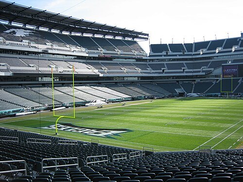
The original uploader was Betp at French Wikipedia. / CC BY-SA 3.0
american football venueLincoln Financial Field
American football stadium in Philadelphia, Pennsylvania, United States
Getting there Nearest stop or station NRG, about 11 min on foot OpenStreetMap
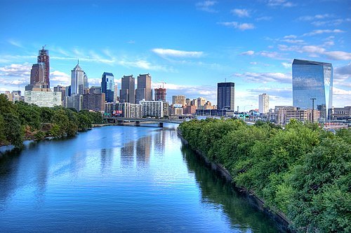
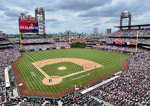 baseball venue
Citizens Bank Park
baseball park in Philadelphia, Pennsylvania
Getting there Nearest stop or station NRG, about 9 min on foot OpenStreetMap
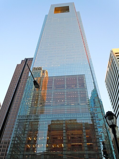 skyscraper
Comcast Center
skyscraper in Philadelphia, Pennsylvania, United States
Getting there Nearest stop or station Suburban Station, about 2 min on foot OpenStreetMap
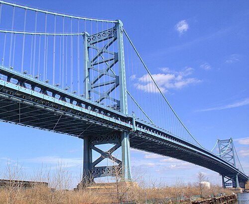 railway bridge
Benjamin Franklin Bridge
suspension bridge between Philadelphia, Pennsylvania and Camden, New Jersey
Getting there Nearest stop or station Philadelphia Greyhound/Peter Pan Ticketing & Waiting, about 13 min on foot OpenStreetMap
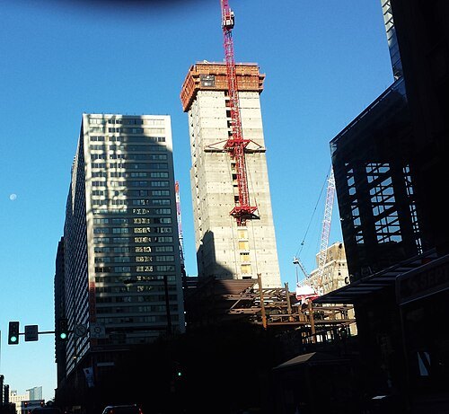 skyscraper
Comcast Technology Center
Skyscraper located in Philadelphia Pennsylvania, United States
Getting there Nearest stop or station 19th Street, about 4 min on foot OpenStreetMap
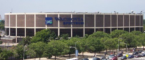
The original uploader was Joenad at English Wikipedia. / CC BY-SA 3.0
indoor arenaSpectrum
former indoor arena in Philadelphia, Pennsylvania
Getting there Nearest stop or station NRG, about 4 min on foot OpenStreetMap
- stadium
John F. Kennedy Stadium
formerly an open-air stadium in Philadelphia
Getting there Nearest stop or station NRG, about 8 min on foot OpenStreetMap
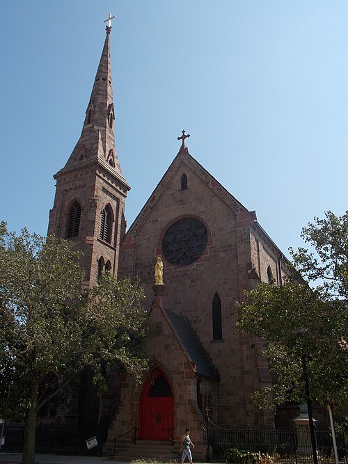 diocese of the catholic church
Diocese of Camden
diocese of the Catholic Church in the United States
Getting there Nearest stop or station South Camden, about 7 min on foot OpenStreetMap
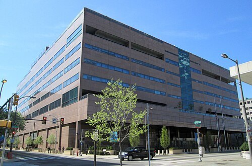 federal reserve bank
Federal Reserve Bank of Philadelphia
Federal Reserve Bank in Philadelphia, Pennsylvania, United States
Getting there Nearest stop or station 8th & Market, about 3 min on foot OpenStreetMap
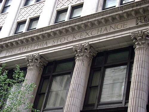 stock market
NASDAQ OMX Phlx
Nasdaq acquired the Philadelphia Stock Exchange (PHLX)
Getting there Nearest stop or station Walnut-Locust, about 2 min on foot OpenStreetMap
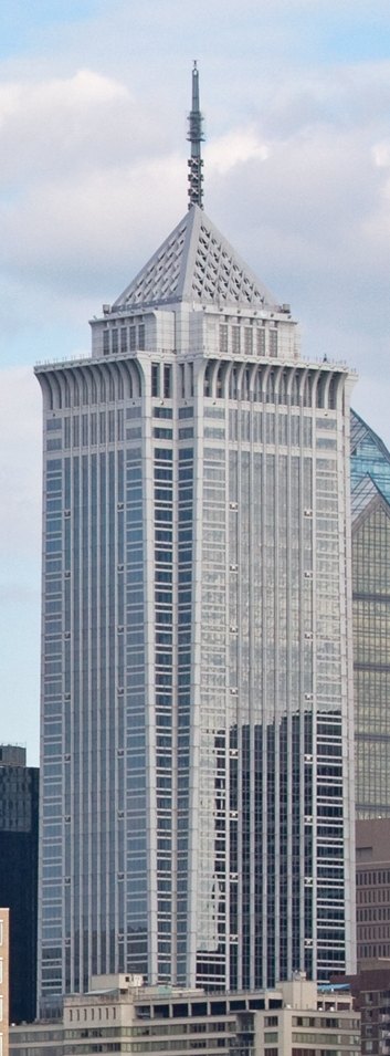 tower block
BNY Mellon Center
54-story skyscraper in Philadelphia, Pennsylvania, United States
Getting there Nearest stop or station Suburban Station, about 3 min on foot OpenStreetMap
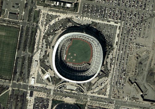 defunct sports venue
Veterans Stadium
former multi-purpose stadium in Philadelphia, Pennsylvania
Getting there Nearest stop or station NRG, about 3 min on foot OpenStreetMap
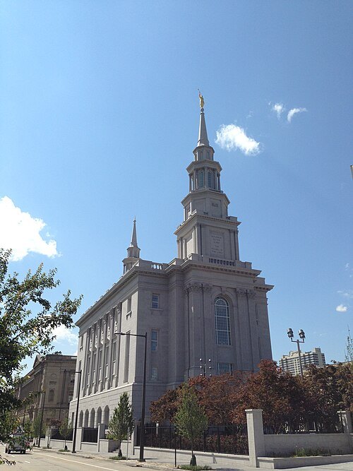 temple
Philadelphia Pennsylvania Temple
temple of the LDS Church
Getting there Nearest stop or station Race-Vine, about 8 min on foot OpenStreetMap
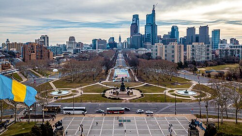 street
Benjamin Franklin Parkway
street in Philadelphia, Pennsylvania, United States
Getting there Nearest stop or station Philadelphia 30th Street Station, about 14 min on foot OpenStreetMap
- tower block
Two Liberty Place
Getting there Nearest stop or station Suburban Station, about 4 min on foot OpenStreetMap
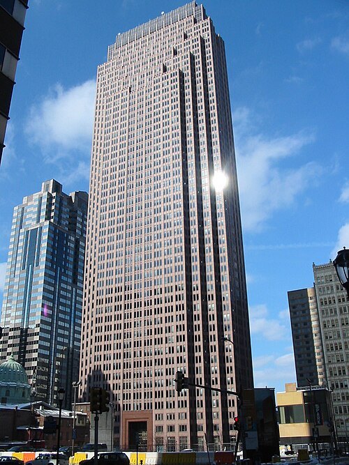
The original uploader was Werd678 at English Wikipedia. / Public domain
tower blockBell Atlantic Tower
55-story high-rise office building located in Philadelphia
Getting there Nearest stop or station Suburban Station, about 3 min on foot OpenStreetMap
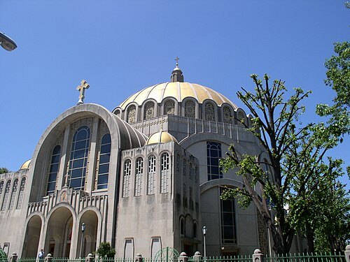 catholic cathedral
Cathedral of the Immaculate Conception
Ukrainian Catholic cathedral in Philadelphia, Pennsylvania, United States
Getting there Nearest stop or station Fairmount, about 14 min on foot OpenStreetMap
- baseball venue
Shibe Park
Philadelphia major league stadium from 1909 to 1970; known as Connie Mack Stadium from 1953 to 1970
Getting there Nearest stop or station North Philadelphia, about 13 min on foot OpenStreetMap
- performing arts center
Kimmel Center for the Performing Arts
performing arts center in Philadelphia, Pennsylvania, United States
Getting there Nearest stop or station Walnut-Locust, about 4 min on foot OpenStreetMap
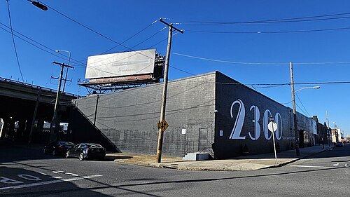
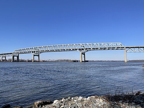 toll bridge
Betsy Ross Bridge
bridge in New Jersey
Getting there Nearest stop or station Pennsauken Transit Center, about 15 min on foot OpenStreetMap
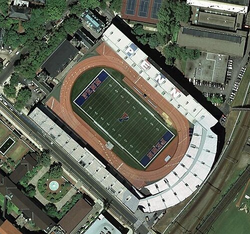
NASA World Wind / Public domain
stadiumFranklin Field
sports stadium in Philadelphia, Pennsylvania, USA
Getting there Nearest stop or station Penn Medicine, about 4 min on foot OpenStreetMap
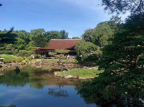
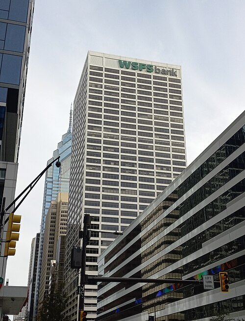 skyscraper
1818 Market Street
tower block
Getting there Nearest stop or station 19th Street, about 1 min on foot OpenStreetMap


Places to eat
Nothing here matches that. Clear a filter and try again.
Opening hours and tickets: OpenStreetMap contributors. Each one shows the day a volunteer last wrote it down, so check the official site before you set out.