New York City: what to see and where to eat
Everything below comes from open data and each row says where it came from. We have not been to any of these places and we do not rank them.
Filters
Things to see
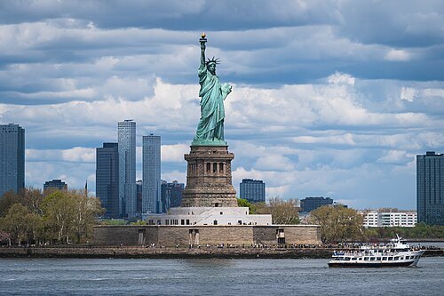
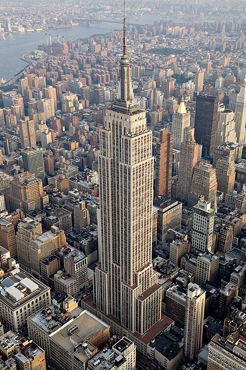 skyscraper
Empire State Building
skyscraper located in Midtown Manhattan, New York City, USA
Getting there Nearest stop or station 34th Street–Herald Square, about 4 min on foot OpenStreetMap
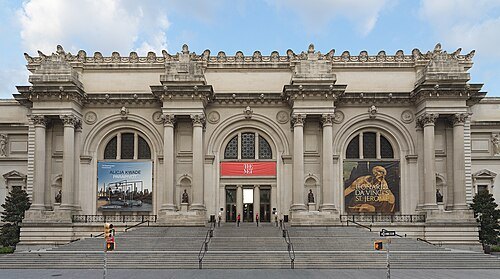 art museum
Metropolitan Museum of Art
art museum in New York City, United States
Getting there Nearest stop or station 86th Street, about 10 min on foot OpenStreetMap
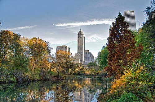
Ed Yourdon from New York City, USA / CC BY-SA 2.0
urban parkCentral Park
public park at the center of Manhattan in New York City, New York, United States
Getting there Nearest stop or station 86th Street, about 7 min on foot OpenStreetMap
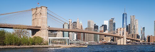
Christian David / CC BY-SA 4.0
steel bridgeBrooklyn Bridge
bridge in New York City, crossing the East River
Getting there Nearest stop or station High Street, about 13 min on foot OpenStreetMap
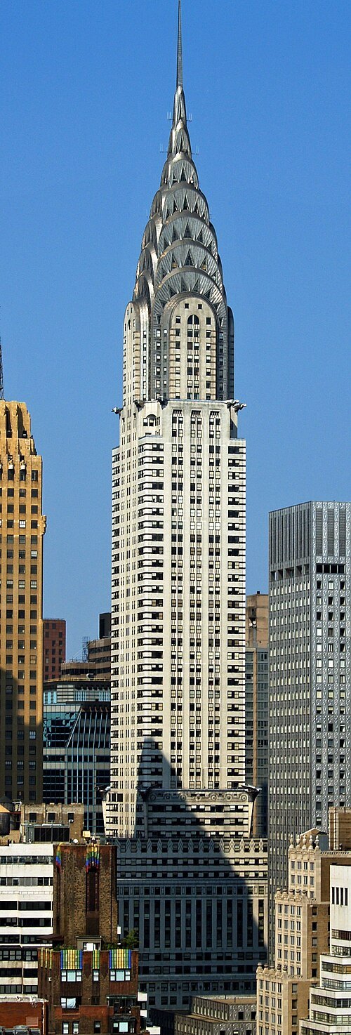
w:User:Overand derivative work: Overand (talk) / Public domain
skyscraperChrysler Building
building in New York City
Getting there Nearest stop or station Grand Central–42nd Street, about 1 min on foot OpenStreetMap
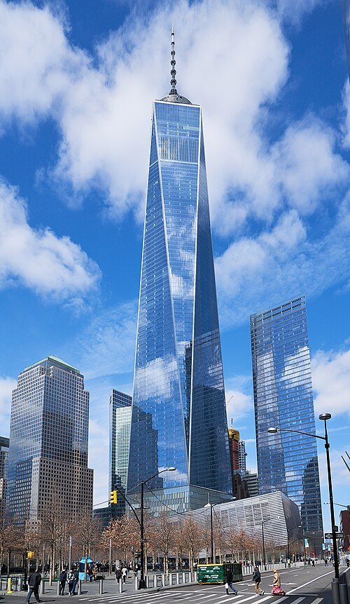
Pedro Szekely from Los Angeles, USA / CC BY-SA 2.0
skyscraperOne World Trade Center
main building of the rebuilt World Trade Center complex in Lower Manhattan, New York City
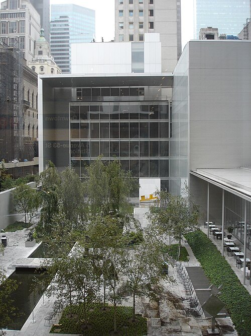 museum building
Museum of Modern Art
art museum in Manhattan in New York City, New York, United States
Getting there Nearest stop or station 5th Avenue–53rd Street, about 3 min on foot OpenStreetMap
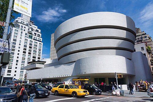
Jean-Christophe BENOIST / CC BY 3.0
museum buildingSolomon R. Guggenheim Museum
art museum in New York, New York
Getting there Nearest stop or station 86th Street, about 8 min on foot OpenStreetMap
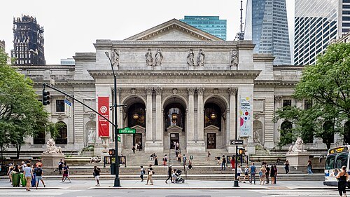 public library
New York Public Library
public library system in New York City
Getting there Nearest stop or station Brooklyn Bridge–City Hall, about 1 min on foot OpenStreetMap
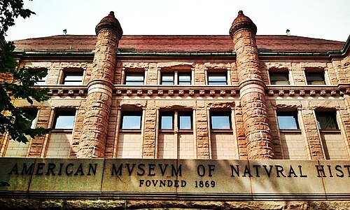 natural history museum
American Museum of Natural History
natural history museum in Manhattan, New York
Getting there Nearest stop or station 81st Street–Museum of Natural History, about 4 min on foot OpenStreetMap
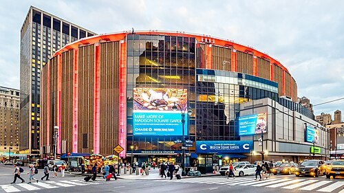
Ajay Suresh from New York, NY, USA / CC BY 2.0
indoor arenaMadison Square Garden
multi-purpose indoor arena in New York City, located in Midtown Manhattan between 7th and 8th Avenues from 31st to 33rd Streets
Getting there Nearest stop or station New York Penn Station, about 1 min on foot OpenStreetMap
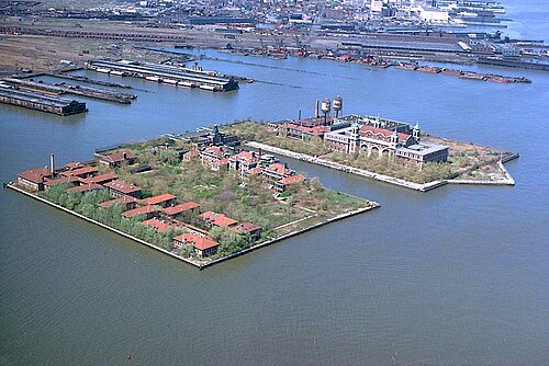 island
Ellis Island
island in New York Harbor in the United States of America
Getting there Nearest stop or station Liberty Harbor, about 18 min on foot OpenStreetMap
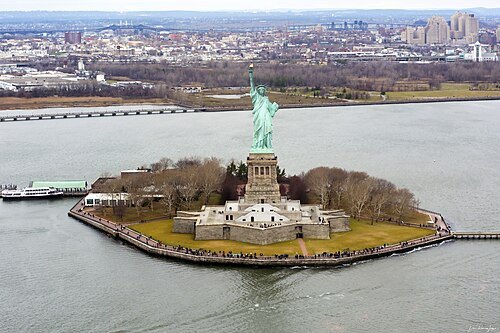
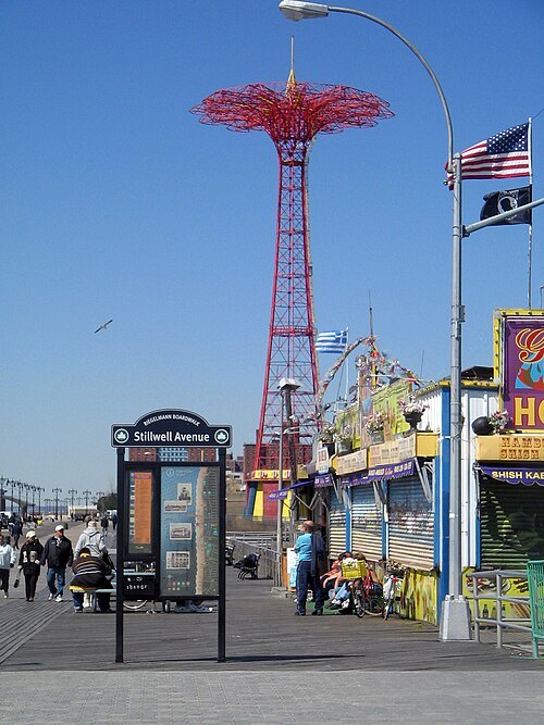
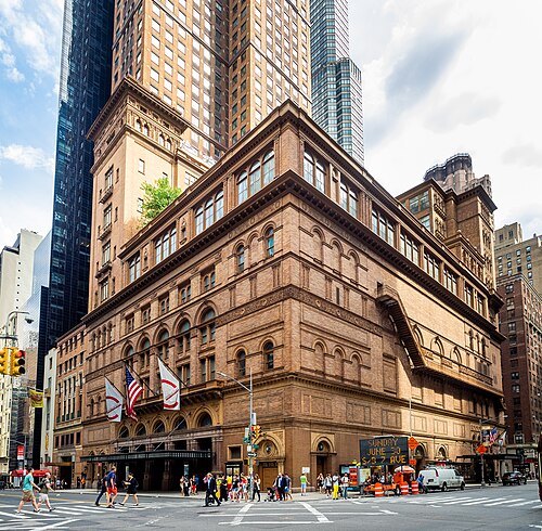
Ajay Suresh from New York, NY, USA / CC BY 2.0
performing arts buildingCarnegie Hall
performing arts building in New York City
Getting there Nearest stop or station 57th Street–7th Avenue, about 1 min on foot OpenStreetMap
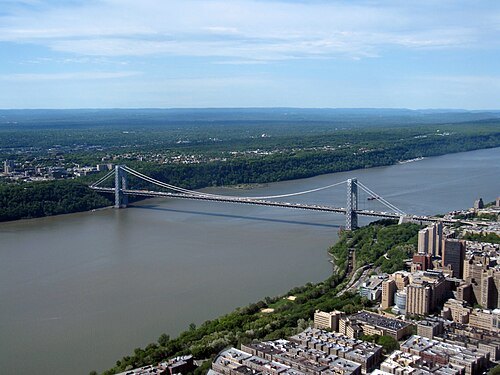 road bridge
George Washington Bridge
bridge in New York City
Getting there Nearest stop or station 175th Street, about 18 min on foot OpenStreetMap
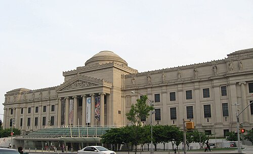
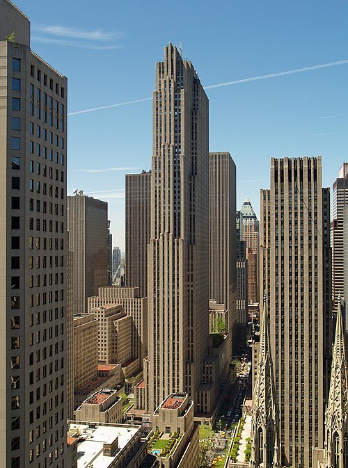
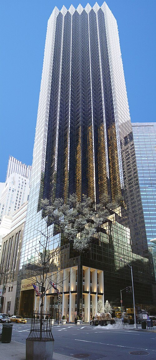 skyscraper
Trump Tower
skyscraper in Manhattan, New York
Getting there Nearest stop or station 5th Avenue–53rd Street, about 4 min on foot OpenStreetMap
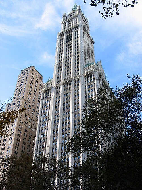
No machine-readable author provided. Aude assumed (based on copyright claims). / Public domain
skyscraperWoolworth Building
skyscraper in Manhattan, New York City, United States
Getting there Nearest stop or station Park Place, about 2 min on foot OpenStreetMap
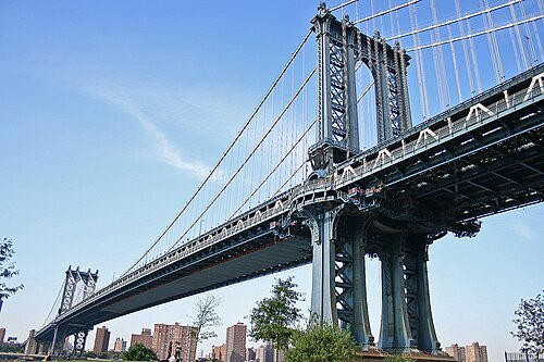
Original uploader was Dav5nyc at en.wikipedia / CC BY-SA 3.0
double-decker bridgeManhattan Bridge
bridge in New York City
Getting there Nearest stop or station East Broadway, about 11 min on foot OpenStreetMap
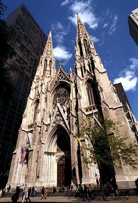 catholic cathedral
St. Patrick's Cathedral
cathedral of the Catholic Archdiocese of New York
Getting there Nearest stop or station 5th Avenue–53rd Street, about 3 min on foot OpenStreetMap
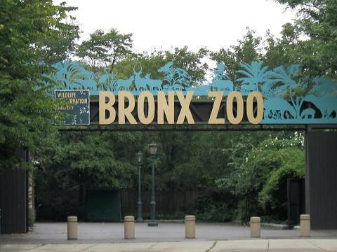 zoo
Bronx Zoo
metropolitan zoo in the Bronx, New York City, New York, USA
Getting there Nearest stop or station Bronx Park East, about 13 min on foot OpenStreetMap
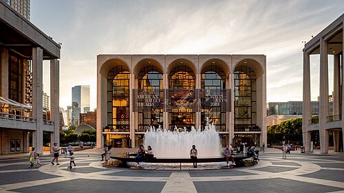
Ajay Suresh from New York, NY, USA / CC BY 2.0
performing arts centerLincoln Center for the Performing Arts
performing arts venue in New York City
Getting there Nearest stop or station 66th Street–Lincoln Center, about 3 min on foot OpenStreetMap
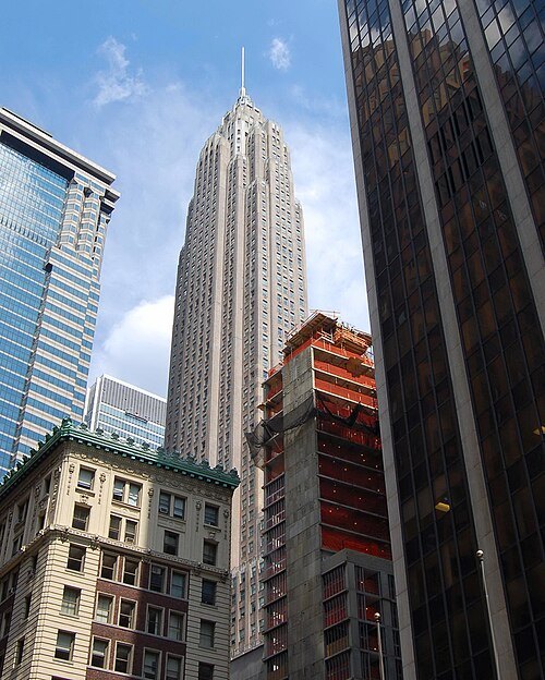 skyscraper
70 Pine Street
residential skyscraper in Manhattan, New York
Getting there Nearest stop or station Wall Street, about 2 min on foot OpenStreetMap
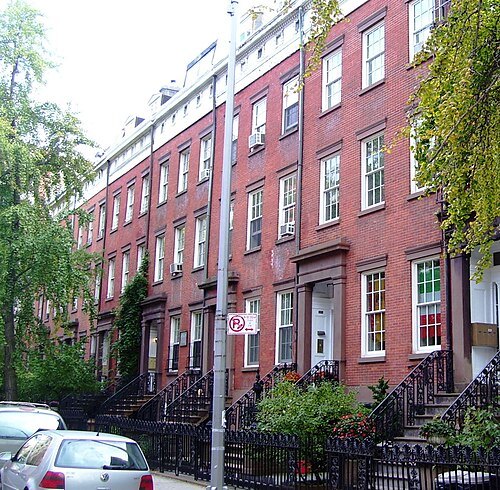 historic district
Chelsea
neighborhood of Manhattan in New York City, New York, United States
Getting there Nearest stop or station 23rd Street, about 4 min on foot OpenStreetMap
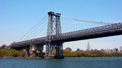 double-decker bridge
Williamsburg Bridge
bridge in New York City
Getting there Nearest stop or station Corlears Hook, about 13 min on foot OpenStreetMap
Max Hermus at Dutch Wikipedia / Public domain
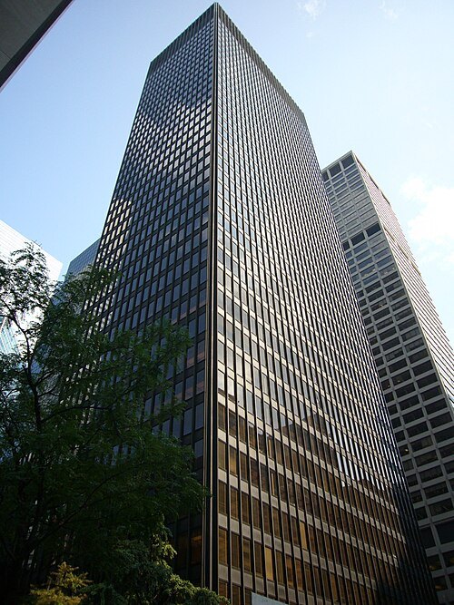
skyscraperSeagram Building
Office skyscraper in Manhattan, New York
Getting there Nearest stop or station Lexington Avenue–53rd Street, about 2 min on foot OpenStreetMap
 urban park
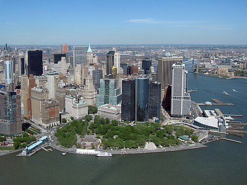
The Battery
public park in Manhattan, New York City, New York, United States
Getting there Nearest stop or station Statue Cruises, about 2 min on foot OpenStreetMap
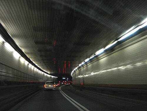 river crossing
Holland Tunnel
road tunnel between Manhattan, New York and Jersey City, New Jersey in the United States
Getting there Nearest stop or station Hoboken Terminal, about 15 min on foot OpenStreetMap
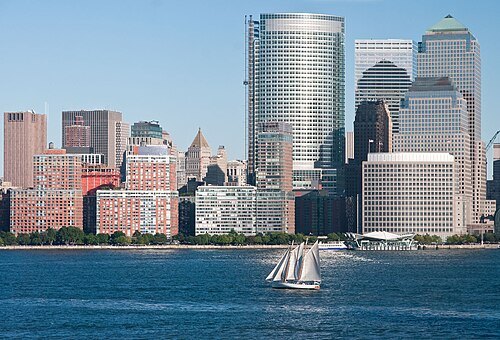
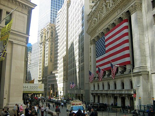
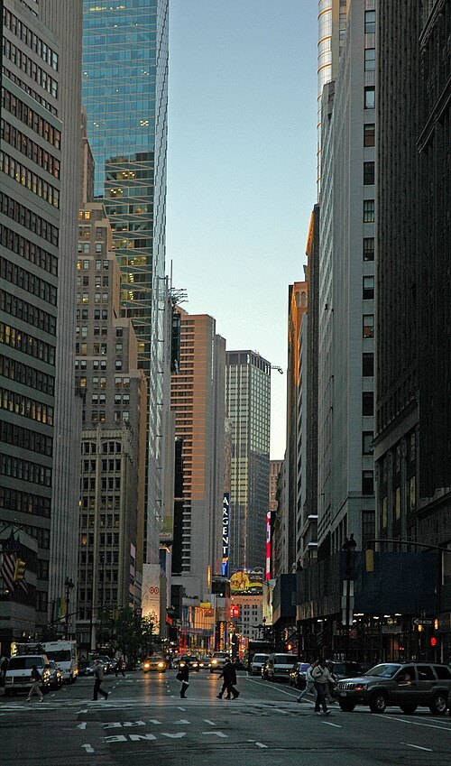 street
Broadway
road in New York City and Westchester County, New York, United States
Getting there Nearest stop or station 59th Street–Columbus Circle, about 3 min on foot OpenStreetMap
 shopping street
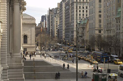
Fifth Avenue
north-south avenue in Manhattan, New York
Getting there Nearest stop or station 77th Street, about 8 min on foot OpenStreetMap
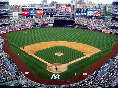
 stadium
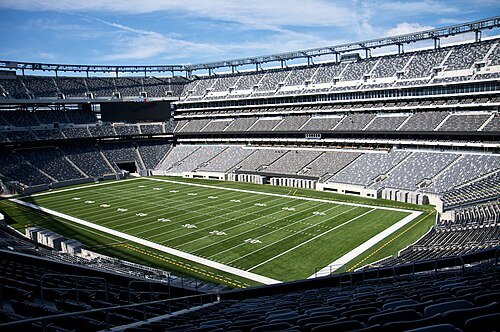
MetLife Stadium
football stadium in East Rutherford, New Jersey, home of the New York Giants and New York Jets
Getting there Nearest stop or station Meadowlands, about 3 min on foot OpenStreetMap
 opera company
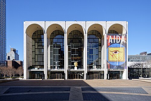
The Metropolitan Opera
opera company in Manhattan, New York City
Getting there Nearest stop or station 66th Street–Lincoln Center, about 3 min on foot OpenStreetMap
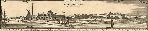
Nicolaes Visscher II / Public domain
fortified townNew Amsterdam
17th-century Dutch colonial settlement that became New York City
Getting there Nearest stop or station Whitehall Street–South Ferry, about 1 min on foot OpenStreetMap
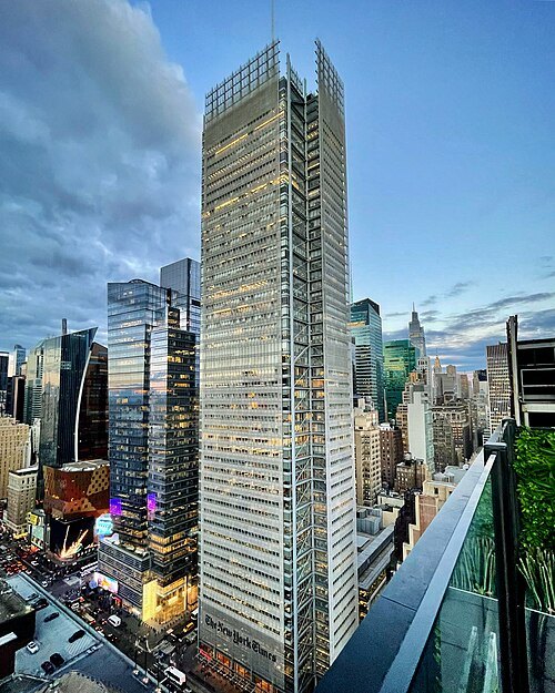 skyscraper
New York Times Building
office skyscraper in Manhattan, New York
Getting there Nearest stop or station 42nd Street–Port Authority Bus Terminal, about 2 min on foot OpenStreetMap
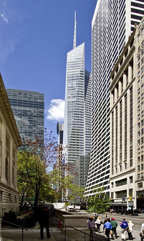
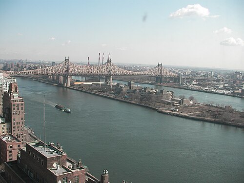
Ryan Browne, Cook+Fox Architects / CC BY 3.0
skyscraperBank of America Tower
skyscraper in Midtown Manhattan, New York City, United States
Getting there Nearest stop or station 42nd Street–Bryant Park, about 2 min on foot OpenStreetMap
 skyscraper
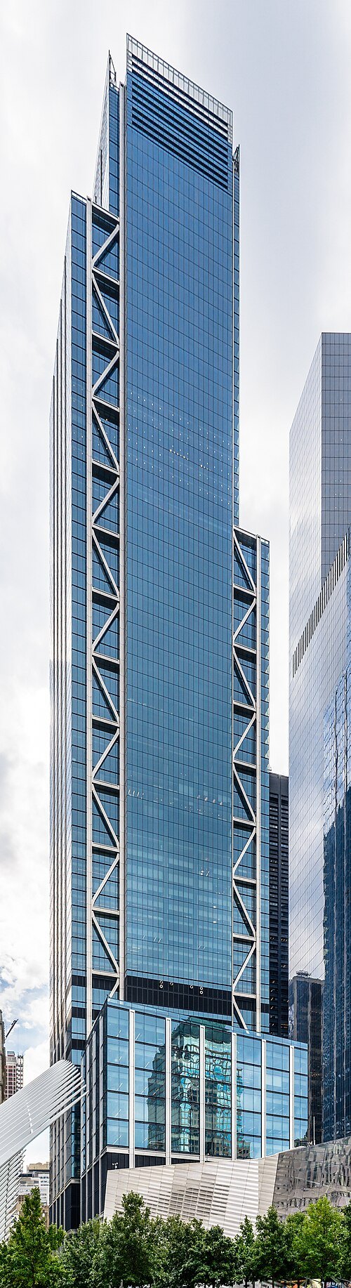
3 World Trade Center
Skyscraper within New York City
Getting there Nearest stop or station Cortlandt Street, about 1 min on foot OpenStreetMap
 memorial
National September 11 Memorial & Museum
memorial & museum in New York City commemorating the September 11, 2001 attacks
Getting there Nearest stop or station World Trade Center, about 2 min on foot OpenStreetMap
 skyscraper
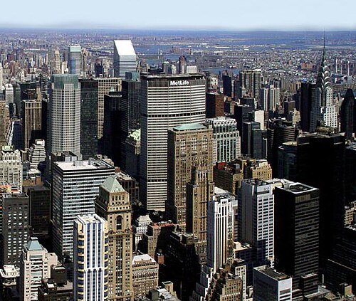
MetLife Building
Office skyscraper in Manhattan, New York
Getting there Nearest stop or station Grand Central Terminal, about 1 min on foot OpenStreetMap
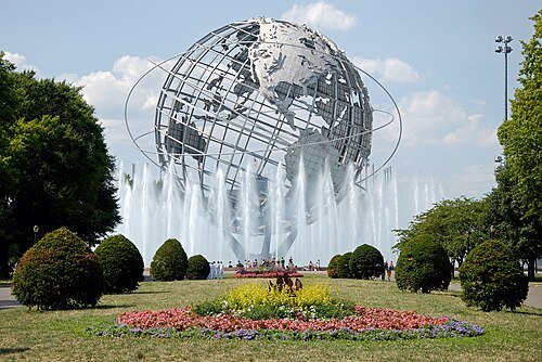 urban park
Flushing Meadows–Corona Park
large public park in Queens, New York
Getting there Nearest stop or station Mets–Willets Point, about 15 min on foot OpenStreetMap
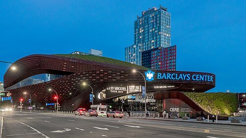
Ajay Suresh from New York, NY, USA / CC BY 2.0
arenaBarclays Center
arena in New York, United States
Getting there Nearest stop or station Bergen Street, about 3 min on foot OpenStreetMap
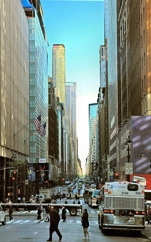
Photography by Leif Knutsen / CC BY-SA 3.0
streetMadison Avenue
avenue in Manhattan
Getting there Nearest stop or station 77th Street, about 7 min on foot OpenStreetMap
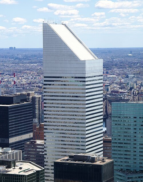 skyscraper
Citigroup Center
office skyscraper in Manhattan, New York
Getting there Nearest stop or station Lexington Avenue–53rd Street, about 1 min on foot OpenStreetMap
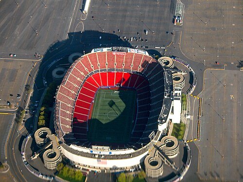
flickr user dsearls / CC BY-SA 2.0
defunct sports venueGiants Stadium
former stadium located in East Rutherford, New Jersey, U.S.
Getting there Nearest stop or station Meadowlands, about 3 min on foot OpenStreetMap
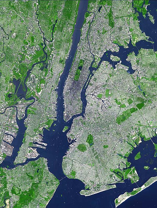
Image courtesy NASA/GSFC/MITI/ERSDAC/JAROS, and U.S./Japan ASTER Science Team / Public domain
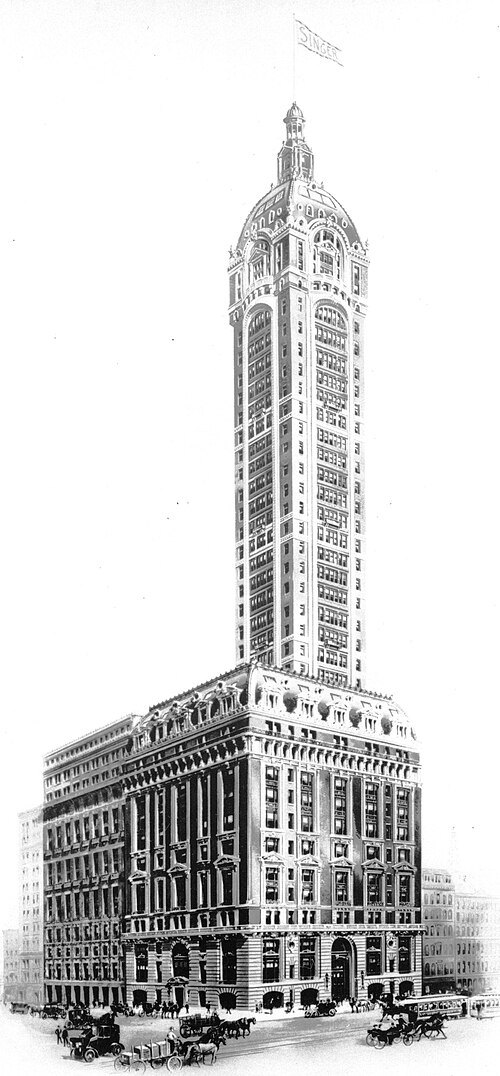 skyscraper
Singer Building
former office building in Manhattan
Getting there Nearest stop or station Cortlandt Street, about 2 min on foot OpenStreetMap
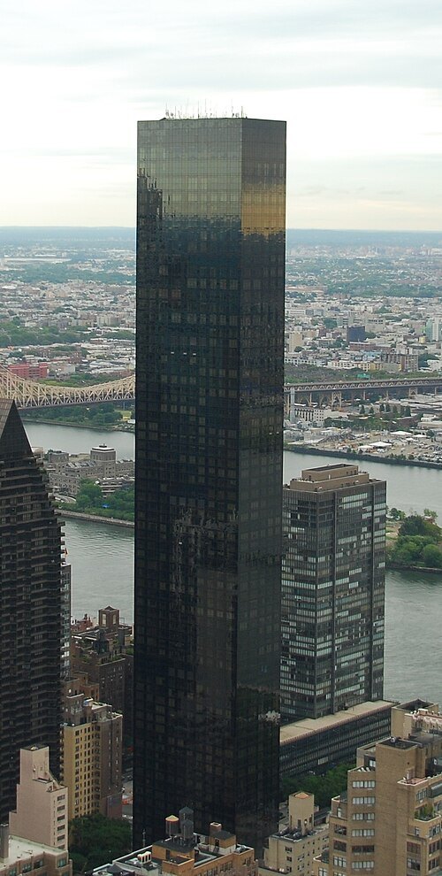
Casper Moller from London, United Kingdom / CC BY 2.0
skyscraperTrump World Tower
residential skyscraper in Manhattan, New York City, New York, USA
Getting there Nearest stop or station 51st Street, about 10 min on foot OpenStreetMap
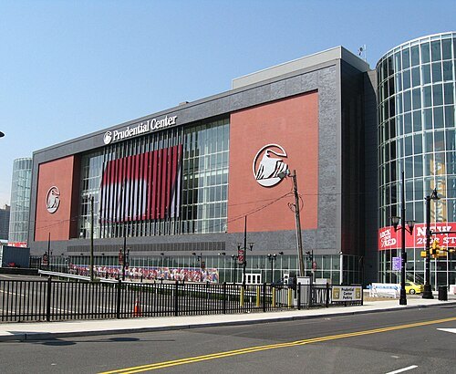 arena
Prudential Center
multi-purpose arena in Newark, New Jersey, USA
Getting there Nearest stop or station Military Park, about 7 min on foot OpenStreetMap


Places to eat
Nothing here matches that. Clear a filter and try again.
Opening hours and tickets: OpenStreetMap contributors. Each one shows the day a volunteer last wrote it down, so check the official site before you set out.