Minneapolis: what to see and where to eat
Everything below comes from open data and each row says where it came from. We have not been to any of these places and we do not rank them.
Filters
Things to see
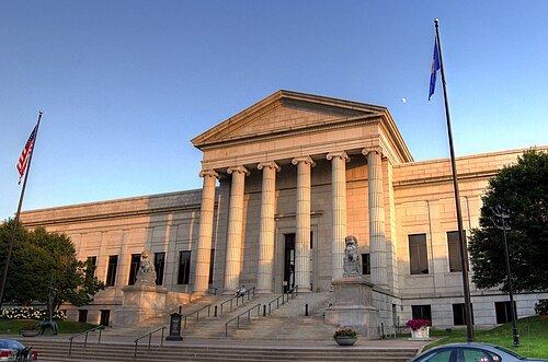 art museum
Minneapolis Institute of Art
art museum in Minneapolis, Minnesota
Getting there Nearest stop or station I-35W & Lake Street Station, about 18 min on foot OpenStreetMap
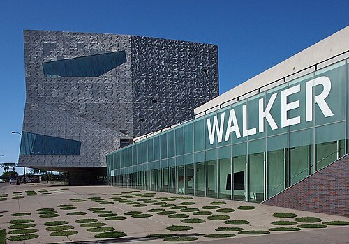 art gallery
Walker Art Center
contemporary art center in Minneapolis, Minnesota, United States
Getting there Nearest stop or station Bassett Creek Valley, about 14 min on foot OpenStreetMap
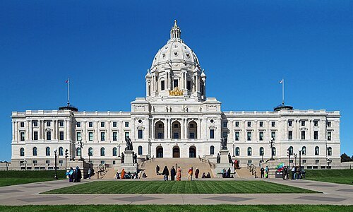 museum
Minnesota State Capitol
state capitol building of the U.S. state of Minnesota
Getting there Nearest stop or station Capitol/Rice Street, about 4 min on foot OpenStreetMap
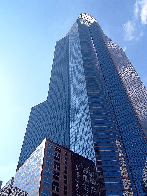 skyscraper
Capella Tower
office skyscraper in Minneapolis, Minnesota
Getting there Nearest stop or station Government Plaza, about 3 min on foot OpenStreetMap
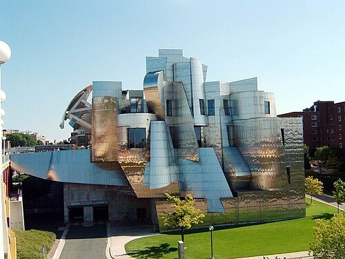 art museum
Weisman Art Museum
art museum in Minneapolis, Minnesota
Getting there Nearest stop or station East Bank, about 9 min on foot OpenStreetMap
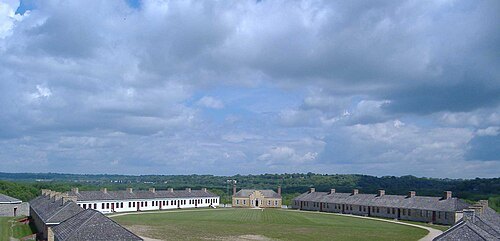
en:User:The Statue With The Dictionary / CC BY-SA 3.0
fortFort Snelling
historic fort in Minnesota near the confluence of the Mississippi and Minnesota River
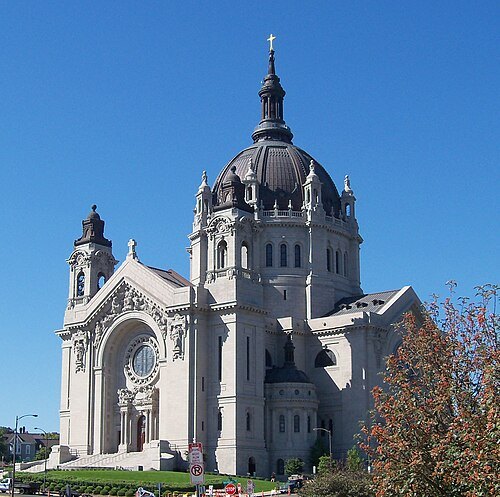
AlexiusHoratius / CC BY-SA 3.0
cathedralCathedral of Saint Paul, National Shrine of the Apostle Paul
cathedral in Saint Paul, Minnesota, USA
Getting there Nearest stop or station 10th Street, about 15 min on foot OpenStreetMap
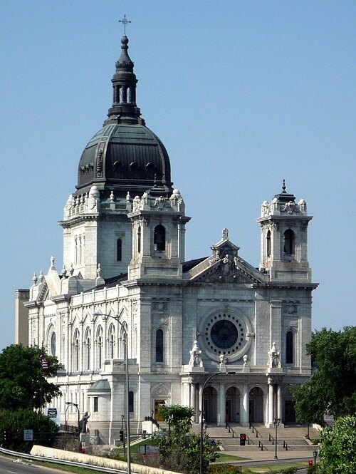 minor basilica
Basilica of Saint Mary
Roman Catholic minor basilica and co-cathedral in Minneapolis, Minnesota, USA
Getting there Nearest stop or station Bassett Creek Valley, about 12 min on foot OpenStreetMap
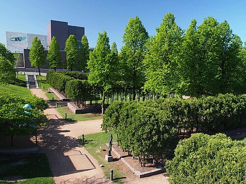 sculpture garden
Minneapolis Sculpture Garden
American sculpture garden
Getting there Nearest stop or station Bassett Creek Valley, about 11 min on foot OpenStreetMap
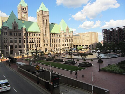
Jason Riedy from East Point, GA, USA / CC BY 2.0
skyscraperMinneapolis City Hall
main building used by the city government of Minneapolis
Getting there Nearest stop or station Government Plaza, about 1 min on foot OpenStreetMap
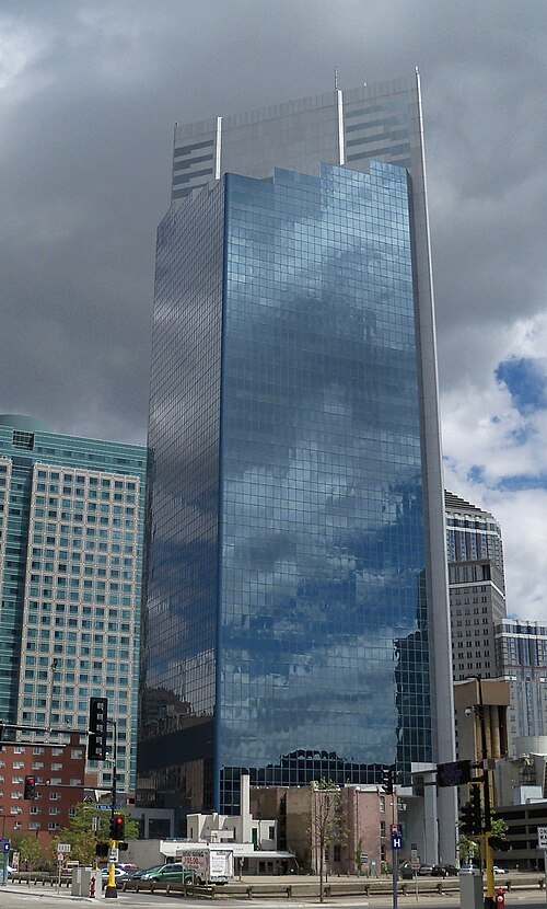
AlexiusHoratius / CC BY-SA 3.0
skyscraperCampbell Mithun Tower
skyscraper
Getting there Nearest stop or station Government Plaza, about 8 min on foot OpenStreetMap
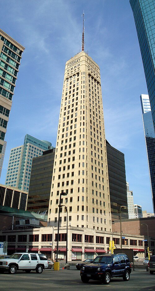 skyscraper
Foshay Tower
skyscraper in Minneapolis, United States of America
Getting there Nearest stop or station Nicollet Mall, about 7 min on foot OpenStreetMap
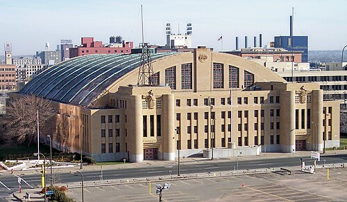
Tim Kiser (w:User:Malepheasant) / CC BY-SA 2.5
music venueMinneapolis Armory
arena (previous), currently a music venue in downtown Minneapolis, MN
Getting there Nearest stop or station US Bank Stadium, about 4 min on foot OpenStreetMap
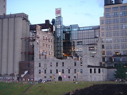
quaziefoto from Ann Arbor / CC BY 2.0
museumMill City Museum
history museum in Minnesota, USA
Getting there Nearest stop or station US Bank Stadium, about 8 min on foot OpenStreetMap
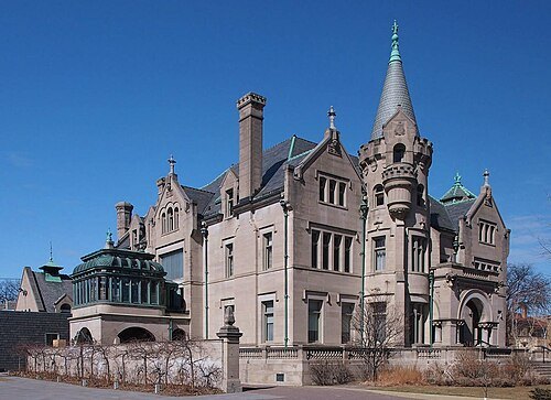 mansion
American Swedish Institute
Swedish-American institute in Minneapolis, Minnesota, USA
Getting there Nearest stop or station I-35W & Lake Street Station, about 16 min on foot OpenStreetMap
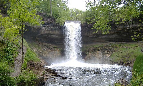
Original uploader was The Statue With The Dictionary at en.wikipedia / CC BY-SA 3.0
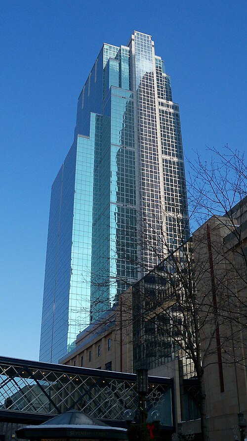
AlexiusHoratius / CC BY-SA 3.0
skyscraperDain Rauscher Plaza
class A Office in Minneapolis, Minnesota
Getting there Nearest stop or station Nicollet Mall, about 2 min on foot OpenStreetMap
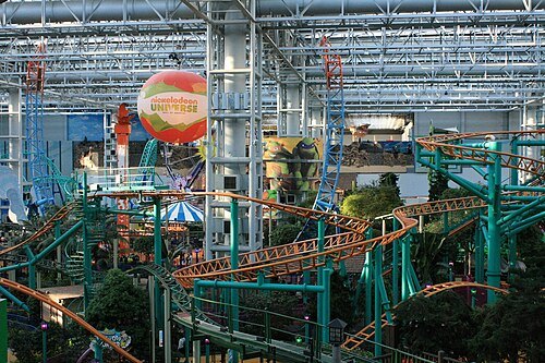 amusement park
Nickelodeon Universe
amusement park inside Mall of America
Getting there Nearest stop or station Mall of America, about 4 min on foot OpenStreetMap
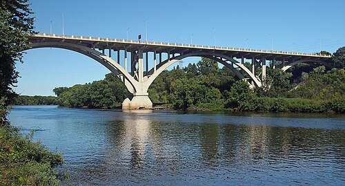
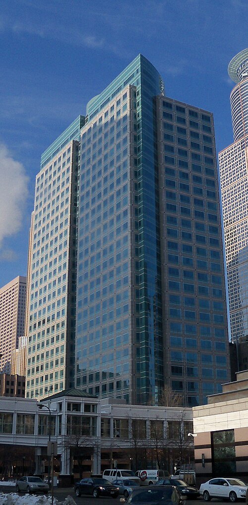
AlexiusHoratius / CC BY-SA 3.0
skyscraperAmeriprise Financial Center
skyscraper in Minneapolis, Minnesota, USA
Getting there Nearest stop or station Government Plaza, about 5 min on foot OpenStreetMap
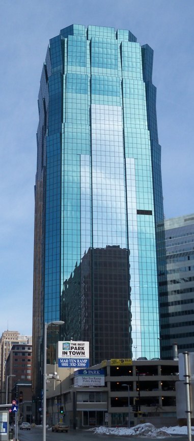
AlexiusHoratius / CC BY-SA 3.0
skyscraperAT&T Tower
skyscraper in Minnesota
Getting there Nearest stop or station Nicollet Mall, about 9 min on foot OpenStreetMap
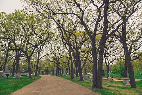
Tony Webster from San Francisco, California / CC BY 2.0
cemeteryLakewood Cemetery
cemetery in Minneapolis, Hennepin County, Minnesota, United States
Getting there Nearest stop or station Como-Harriet Streetcar Line Depot, about 20 min on foot OpenStreetMap
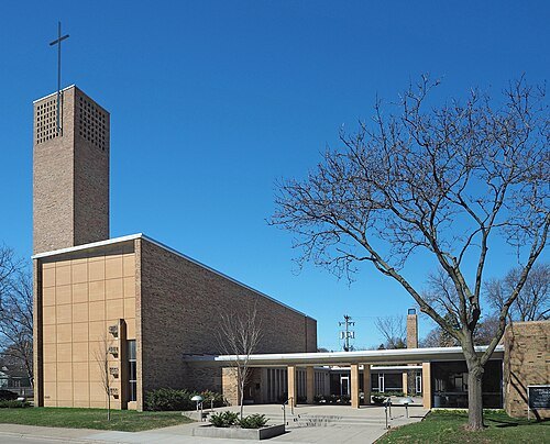 church building
Christ Church Lutheran
church in Minneapolis
Getting there Nearest stop or station 38th Street, about 17 min on foot OpenStreetMap
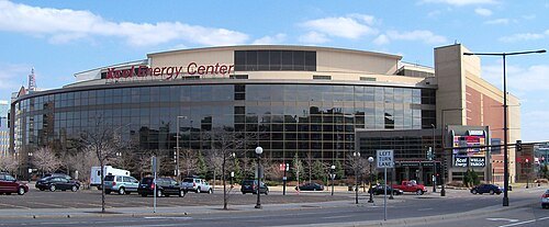
AlexiusHoratius / CC BY-SA 3.0
arenaGrand Casino Arena
multi-purpose arena in St. Paul, MN, USA
Getting there Nearest stop or station 10th Street, about 11 min on foot OpenStreetMap
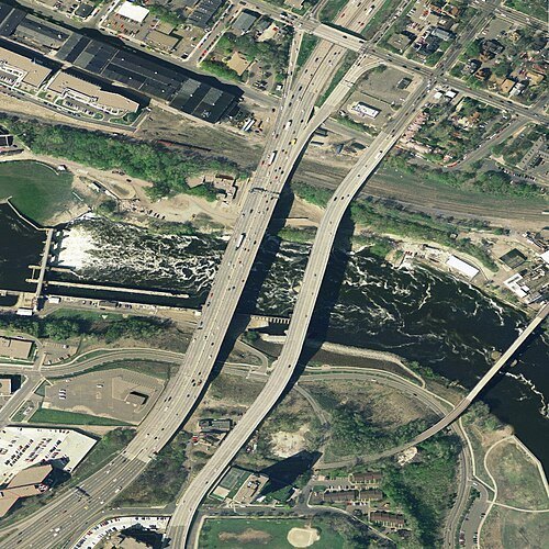
U.S. Geological Survey / Public domain
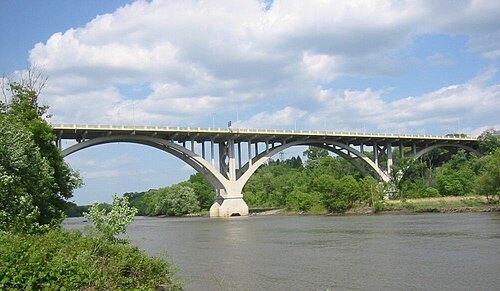
road bridgeI-35W Mississippi River bridge
destroyed bridge in Minneapolis, Minnesota
Getting there Nearest stop or station West Bank, about 12 min on foot OpenStreetMap
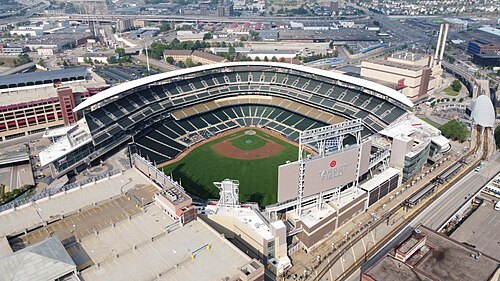
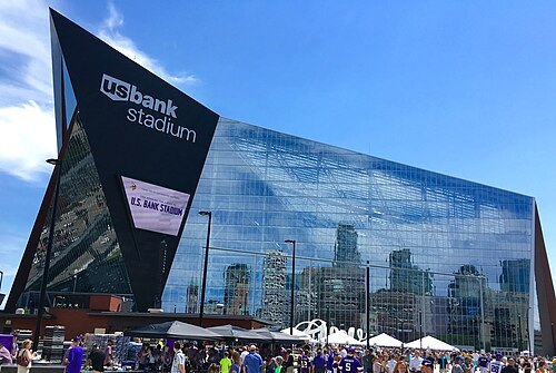 stadium
U.S. Bank Stadium
stadium in Minneapolis, Minnesota, home of the Minnesota Vikings NFL team
Getting there Nearest stop or station US Bank Stadium, about 3 min on foot OpenStreetMap
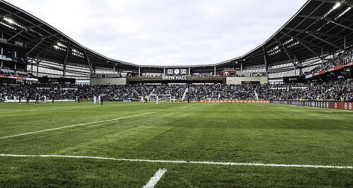 association football venue
Allianz Field
soccer stadium in Saint Paul, Minnesota, USA
Getting there Nearest stop or station Snelling Avenue, about 6 min on foot OpenStreetMap
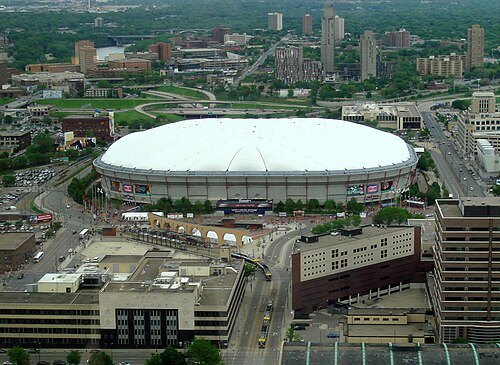 stadium
Hubert H. Humphrey Metrodome
former stadium in Minneapolis, Minnesota
Getting there Nearest stop or station US Bank Stadium, about 3 min on foot OpenStreetMap
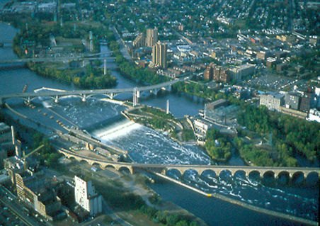
The original uploader was Mulad at English Wikipedia. / Public domain
waterfallSaint Anthony Falls
waterfall on the Mississippi River in Minneapolis, Minnesota, United States
Getting there Nearest stop or station US Bank Stadium, about 12 min on foot OpenStreetMap
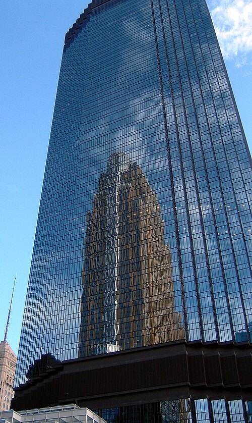 skyscraper
IDS Center
Skyscraper in Minneapolis
Getting there Nearest stop or station Nicollet Mall, about 5 min on foot OpenStreetMap
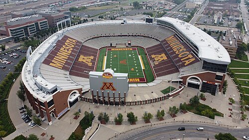 stadium
Huntington Bank Stadium
stadium in Minneapolis
Getting there Nearest stop or station Stadium Village, about 3 min on foot OpenStreetMap
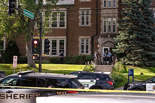 attack on church
2025 Annunciation Catholic Church shooting
mass shooting in Minneapolis, Minnesota on August 27, 2025
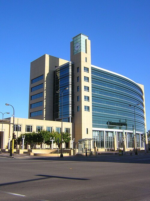 federal reserve bank
Federal Reserve Bank of Minneapolis
member Bank of Federal Reserve
Getting there Nearest stop or station Warehouse District/Hennepin Avenue, about 10 min on foot OpenStreetMap
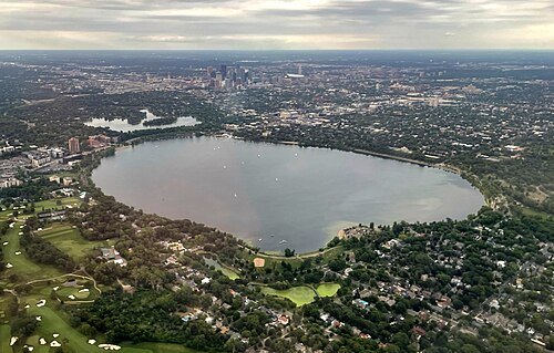 lake
Bde Maka Ska
lake in Minneapolis, Minnesota, United States of America
Getting there Nearest stop or station West Lake Street, about 18 min on foot OpenStreetMap
- stadium
Metropolitan Stadium
former sports stadium in Minneapolis, Minnesota, USA
Getting there Nearest stop or station Mall of America, about 4 min on foot OpenStreetMap
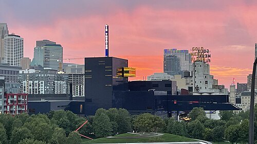 theatre building
Guthrie Theater
center for theater performance, production, education, and professional training in Minneapolis, Minnesota
Getting there Nearest stop or station US Bank Stadium, about 8 min on foot OpenStreetMap
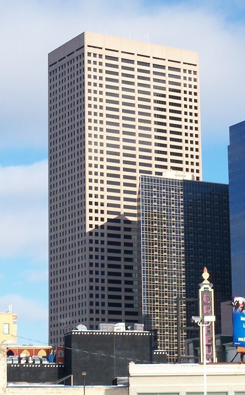
AlexiusHoratius / CC BY-SA 3.0
skyscraper33 South Sixth
skyscraper in Minneapolis, Minnesota, United States
Getting there Nearest stop or station Warehouse District/Hennepin Avenue, about 3 min on foot OpenStreetMap
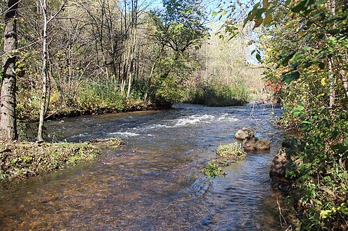
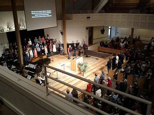 christian church
Bethlehem Baptist Church
church in Minnesota, United States
Getting there Nearest stop or station Cedar-Riverside, about 5 min on foot OpenStreetMap
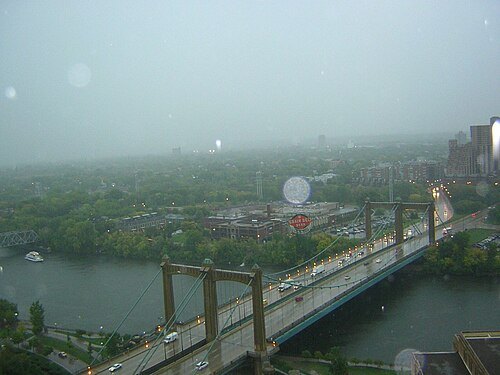 river island
Nicollet Island
island in the Mississippi River in Minneapolis, Hennepin County, Minnesota, United States
Getting there Nearest stop or station Nicollet Mall, about 17 min on foot OpenStreetMap
- arena
Met Center
demolished indoor arena in Bloomington, Minnesota, United States
Getting there Nearest stop or station Mall of America, about 7 min on foot OpenStreetMap
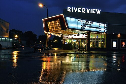 movie theater
Riverview Theater
movie theater in Minneapolis, Minnesota, United States
Getting there Nearest stop or station 38th Street, about 20 min on foot OpenStreetMap
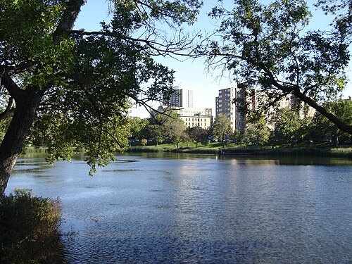
No machine-readable author provided. Angela assumed (based on copyright claims). / CC BY 2.5
urban parkLoring Park
city park in Minneapolis, Minnesota, United States
Getting there Nearest stop or station Bassett Creek Valley, about 16 min on foot OpenStreetMap
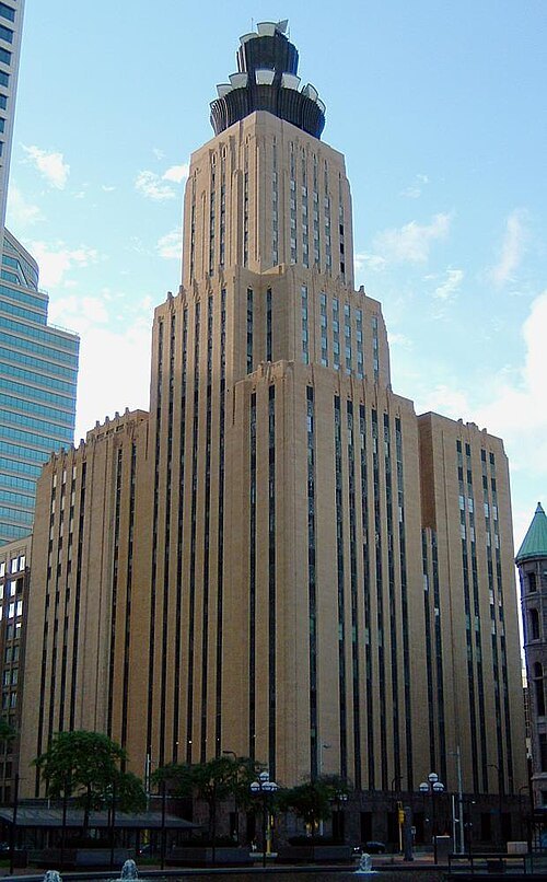
No machine-readable author provided. Mulad assumed (based on copyright claims). / Public domain
skyscraperLumen Technologies Building
American skyscraper in Minneapolis, Minnesota, USA
Getting there Nearest stop or station Government Plaza, about 2 min on foot OpenStreetMap
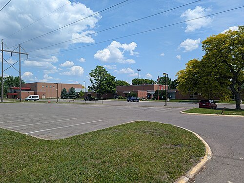
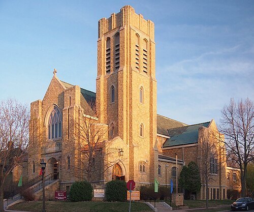 church building
Saint Paul-Reformation Lutheran Church
church building in United States of America
Getting there Nearest stop or station Lexington Parkway, about 20 min on foot OpenStreetMap
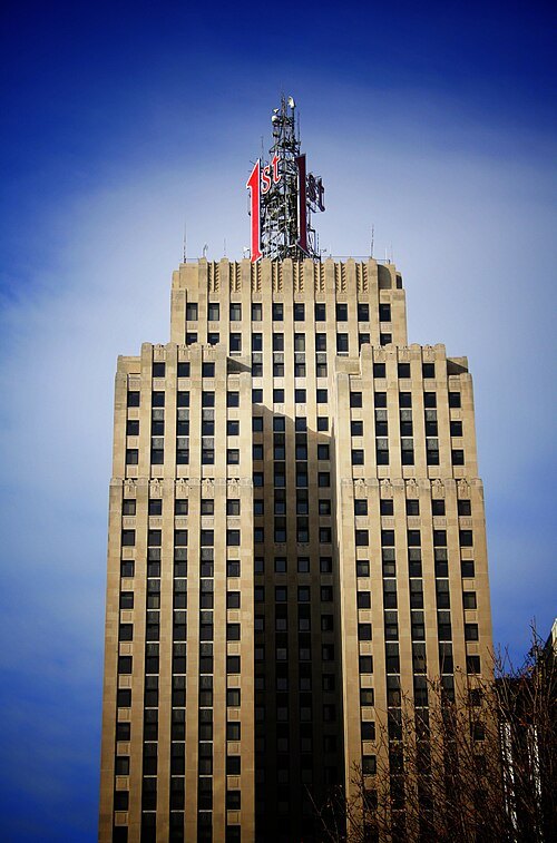
Michael Hicks from Saint Paul, MN, USA / CC BY 2.0
skyscraperFirst National Bank Building
417-foot-tall skyscraper in downtown Saint Paul, Minnesota
Getting there Nearest stop or station Central Station, about 2 min on foot OpenStreetMap
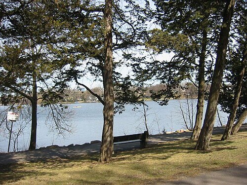
Elkman at English Wikipedia / CC BY-SA 3.0
lakeCedar Lake
lake in Minneapolis, Minnesota
Getting there Nearest stop or station West 21st Street, about 8 min on foot OpenStreetMap
Baseball Bugs What's up, Doc? carrots / Public domain
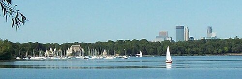
lakeLake Harriet
lake in Minneapolis, Minnesota, United States
Getting there Nearest stop or station Como-Harriet Streetcar Line Depot, about 12 min on foot OpenStreetMap
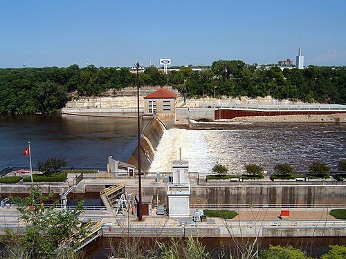 dam
Lock and Dam No. 1
lock and dam on the Mississippi River in Minnesota
Getting there Nearest stop or station 50th Street/Minnehaha Park, about 11 min on foot OpenStreetMap


Places to eat
Nothing here matches that. Clear a filter and try again.
Opening hours and tickets: OpenStreetMap contributors. Each one shows the day a volunteer last wrote it down, so check the official site before you set out.