Los Angeles: what to see and where to eat
Everything below comes from open data and each row says where it came from. We have not been to any of these places and we do not rank them.
Filters
Things to see
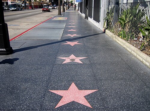 monument
Hollywood Walk of Fame
more than 2,700 five-pointed terrazzo and brass stars embedded in the sidewalks along 15 blocks of Hollywood Boulevard and three blocks of Vine Street in Hollywood, California
Getting there Nearest stop or station Hollywood/Highland, about 8 min on foot OpenStreetMap
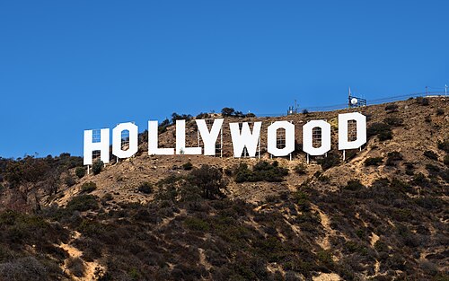
Thomas Wolf, www.foto-tw.de / CC BY-SA 3.0
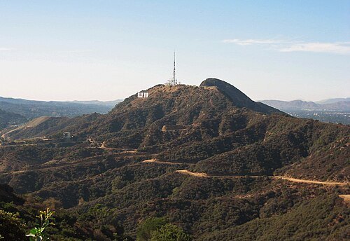
architectural landmarkHollywood Sign
sign reading "HOLLYWOOD" located in Los Angeles, California, United States
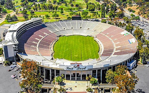
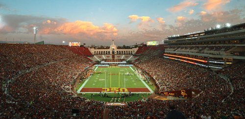 multi-purpose stadium
Los Angeles Memorial Coliseum
stadium in Los Angeles, California, USA
Getting there Nearest stop or station Expo Park/USC, about 8 min on foot OpenStreetMap
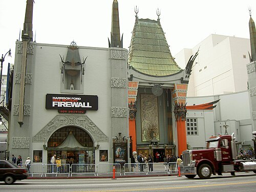 movie theater
Grauman's Chinese Theatre
movie theater in Hollywood, Los Angeles, California, USA
Getting there Nearest stop or station Hollywood/Highland, about 2 min on foot OpenStreetMap
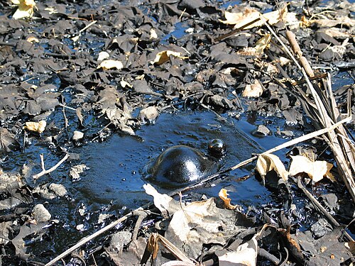
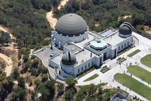
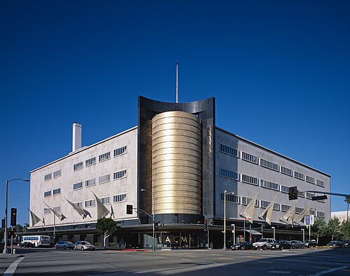
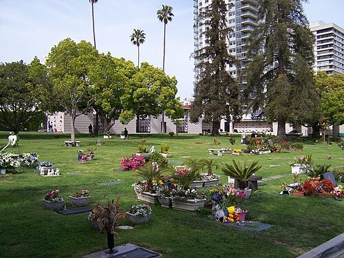
Oleg Alexandrov at English Wikipedia / CC BY-SA 3.0
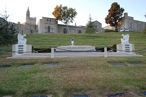
cemeteryWestwood Village Memorial Park Cemetery
cemetery in the Westwood Village area of Los Angeles, California, United States
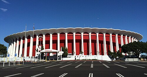 arena
Kia Forum
multi-purpose indoor arena in Inglewood, California, United States
Getting there Nearest stop or station SoFi Stadium, about 11 min on foot OpenStreetMap
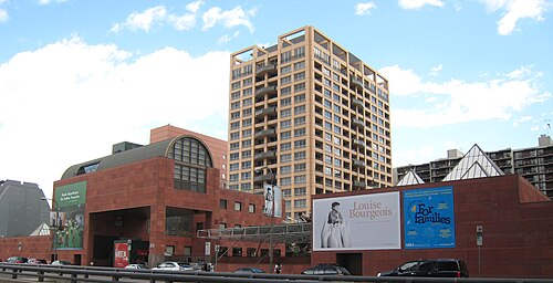 museum building
Museum of Contemporary Art, Los Angeles
art museum in Los Angeles, California
Getting there Nearest stop or station Grand Avenue Arts/Bunker Hill, about 3 min on foot OpenStreetMap
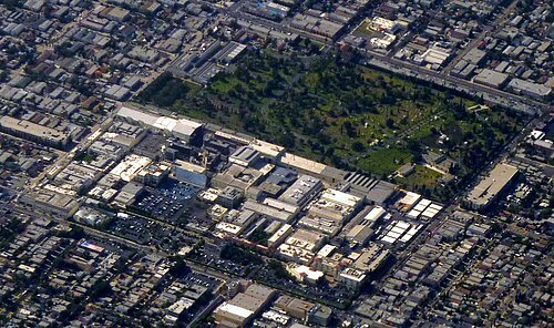
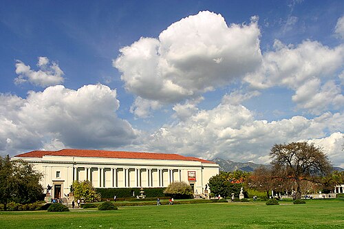 botanical garden
The Huntington Library, Art Museum, and Botanical Gardens
library and art museum in San Marino, California
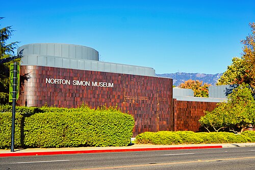
Tony Mariotti from Los Angeles, United States / CC BY 2.0
art museumNorton Simon Museum
art museum in Pasadena, California
Getting there Nearest stop or station Memorial Park, about 17 min on foot OpenStreetMap
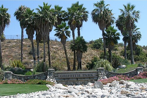
Coolcaesar at English Wikipedia / CC BY-SA 3.0
parkGriffith Park
municipal park in the Los Feliz neighborhood of Los Angeles, California, United States
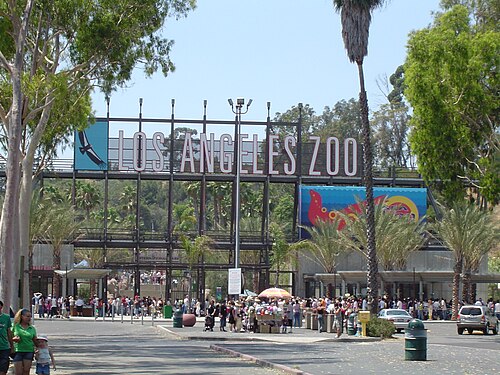
The original uploader was Geographer at English Wikipedia. / CC BY 1.0
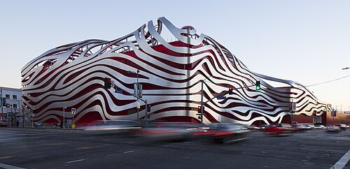
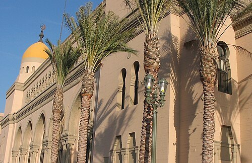
Dreamyshade at English Wikipedia / CC BY-SA 3.0
movie theaterShrine Auditorium and Expo Hall
large event venue in Los Angeles, California
Getting there Nearest stop or station Jefferson/USC, about 6 min on foot OpenStreetMap
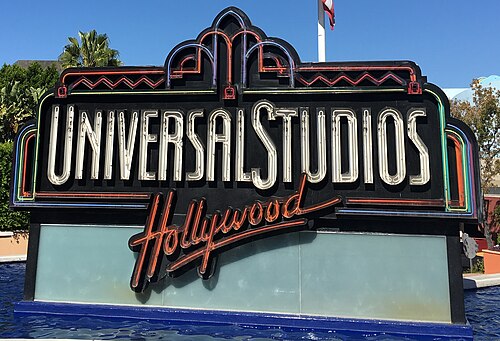 theme park
Universal Studios Hollywood
amusement park in Los Angeles, California, United States
Getting there Nearest stop or station Universal City/Studio City, about 14 min on foot OpenStreetMap
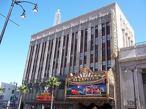 movie theater
El Capitan Theatre
movie theater and former theme park in Hollywood, Los Angeles, California, USA
Getting there Nearest stop or station Hollywood/Highland, about 1 min on foot OpenStreetMap
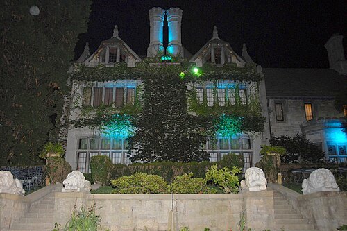
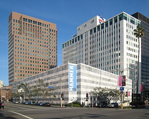
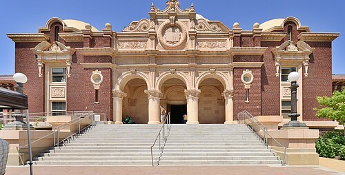
David Leigh Ellis / CC BY-SA 3.0
museum buildingNatural History Museum of Los Angeles County
non-profit organisation in the USA
Getting there Nearest stop or station Expo/Vermont, about 5 min on foot OpenStreetMap
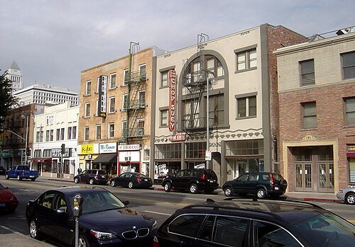
The original uploader was Bobak at English Wikipedia. / CC BY-SA 2.5
- funicular
Angels Flight
funicular in Downtown Los Angeles
Getting there Nearest stop or station Pershing Square, about 3 min on foot OpenStreetMap
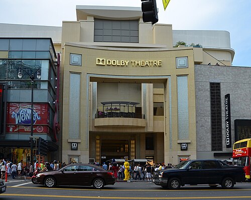
File:Dolby_Theatre.jpg: Adam Fagen from Washington, DC, USA derivative work: Jullit31 / CC BY-SA 2.0
concert hallDolby Theatre
live entertainment theatre in Los Angeles, California, United States
Getting there Nearest stop or station Hollywood/Highland, about 2 min on foot OpenStreetMap
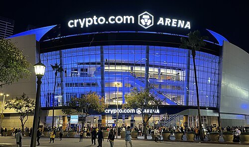 arena
Crypto.com Arena
multi-purpose arena in Los Angeles, California, United States
Getting there Nearest stop or station Pico, about 4 min on foot OpenStreetMap
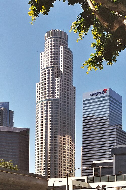 skyscraper
U.S. Bank Tower
skyscraper in Los Angeles, United States
Getting there Nearest stop or station Pershing Square, about 5 min on foot OpenStreetMap
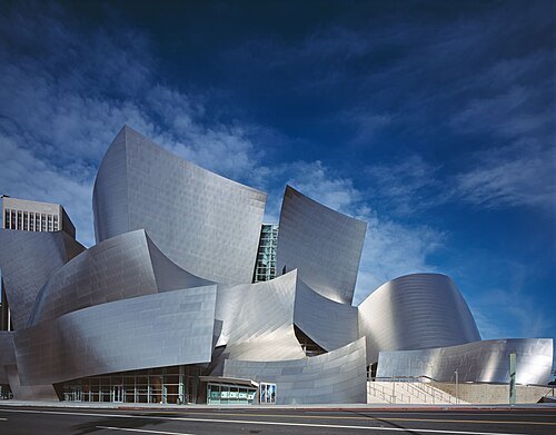
Carol M. Highsmith / Public domain
concert hallWalt Disney Concert Hall
concert hall in Los Angeles, California, U.S.
Getting there Nearest stop or station Grand Avenue Arts/Bunker Hill, about 2 min on foot OpenStreetMap
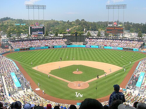
Frederick Dennstedt from los angeles, usa / CC BY-SA 2.0
baseball venueDodger Stadium
Baseball park in Los Angeles, US
Getting there Nearest stop or station Chinatown, about 18 min on foot OpenStreetMap
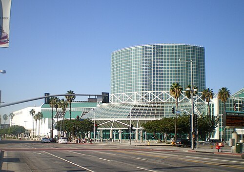 sports venue
Los Angeles Convention Center
convention and exhibition center in Los Angeles, California, USA
Getting there Nearest stop or station Pico, about 6 min on foot OpenStreetMap
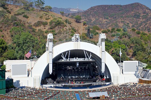
Matthew Field, http://www.photography.mattfield.com / CC BY-SA 2.5
concert hallHollywood Bowl
open-air theatre in Hollywood, Los Angeles, California, USA
Getting there Nearest stop or station Hollywood/Highland, about 19 min on foot OpenStreetMap
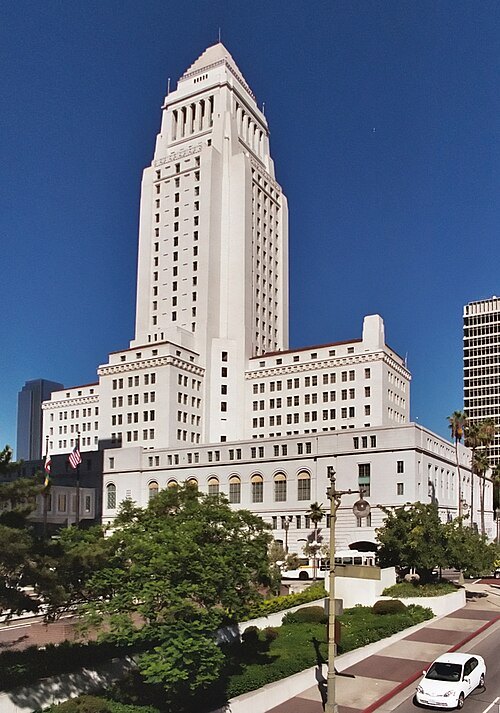 city hall
Los Angeles City Hall
1928 building housing the government of the city of Los Angeles, California
Getting there Nearest stop or station Civic Center/Grand Park, about 5 min on foot OpenStreetMap
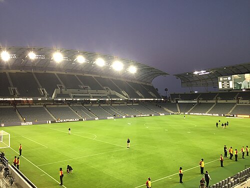
BagmanTheEditor / CC BY-SA 4.0
association football venueBMO Stadium
soccer stadium in Los Angeles, California, USA
Getting there Nearest stop or station Expo Park/USC, about 9 min on foot OpenStreetMap
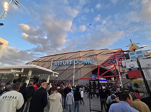 multi-purpose stadium
Intuit Dome
indoor basketball arena in Inglewood, California, USA
Getting there Nearest stop or station SoFi Stadium, about 12 min on foot OpenStreetMap
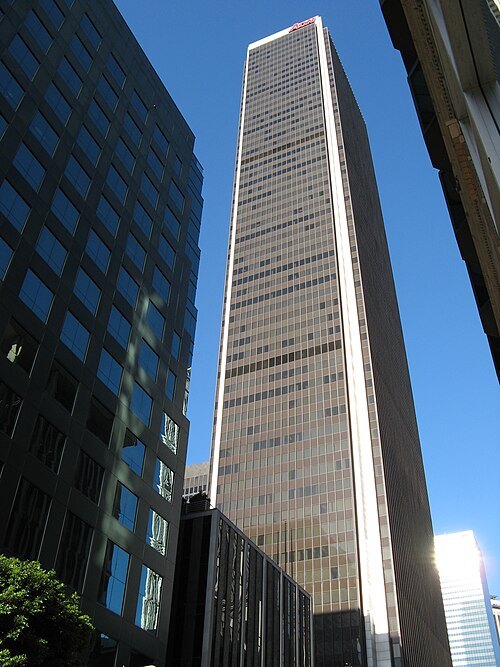
Geographer at English Wikipedia / CC BY 2.5
towerAon Center
skyscraper in Los Angeles, California, USA
Getting there Nearest stop or station 7th Street/Metro Center, about 3 min on foot OpenStreetMap
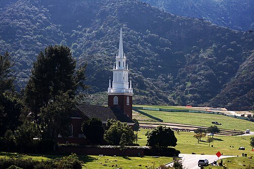
Rennett Stowe from USA / CC BY 2.0
cemeteryForest Lawn Memorial Park
cemetery in Hollywood Hills, Los Angeles, California, United States
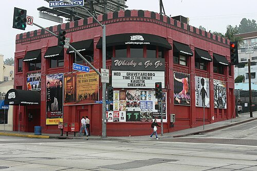
Fredchang931124 / CC BY-SA 4.0
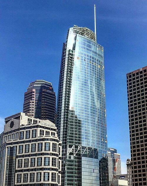
skyscraperWilshire Grand Center
335-meter (1,099 ft) skyscraper in Los Angeles
Getting there Nearest stop or station 7th Street/Metro Center, about 3 min on foot OpenStreetMap
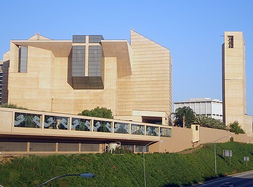 catholic cathedral
Cathedral of Our Lady of the Angels
Catholic cathedral in Los Angeles, California
Getting there Nearest stop or station Civic Center/Grand Park, about 6 min on foot OpenStreetMap
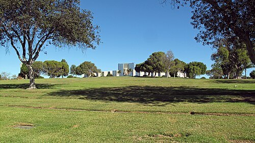 cemetery
Holy Cross Cemetery
cemetery in Culver City, California, United States
Getting there Nearest stop or station Culver City Transit Center, about 13 min on foot OpenStreetMap
- opera house
Dorothy Chandler Pavilion
opera house in Los Angeles, California, part of the Los Angeles Music Center, used by LA Opera
Getting there Nearest stop or station Civic Center/Grand Park, about 4 min on foot OpenStreetMap
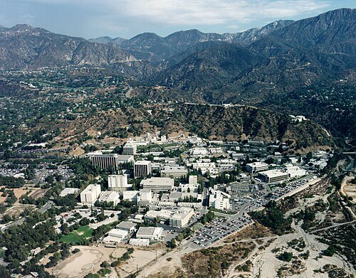
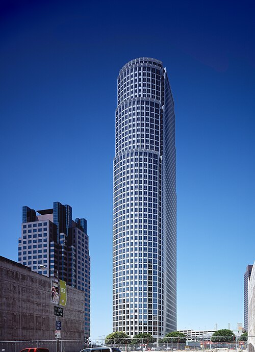
Carol M. Highsmith / Public domain
skyscraper777 Tower
skyscraper in Los Angeles, California
Getting there Nearest stop or station 7th Street/Metro Center, about 4 min on foot OpenStreetMap
Daniel Mayer (mav) / CC BY-SA 3.0
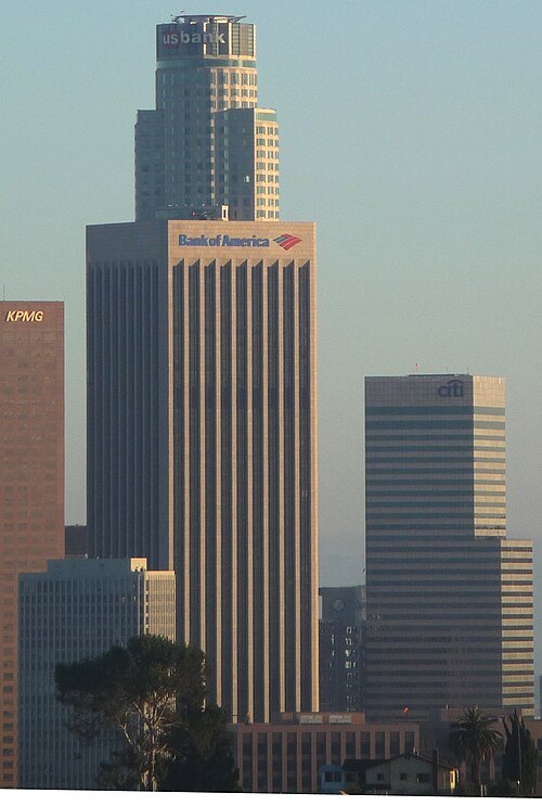
skyscraperBank of America Plaza
55-story class-A office skyscraper on Bunker Hill, Los Angeles
Getting there Nearest stop or station Grand Avenue Arts/Bunker Hill, about 3 min on foot OpenStreetMap
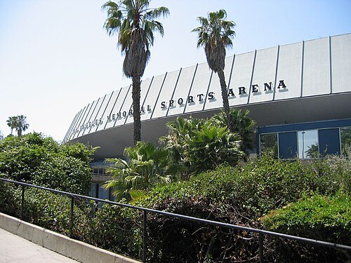 arena
Los Angeles Memorial Sports Arena
former indoor arena in Los Angeles, California, US
Getting there Nearest stop or station Expo Park/USC, about 9 min on foot OpenStreetMap
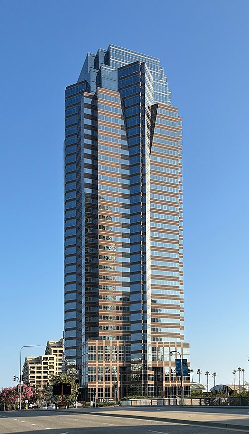
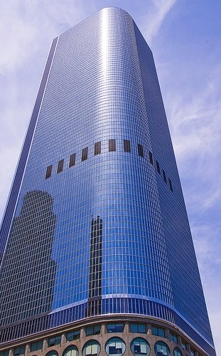
US - Jimmy Slade at English Wikipedia / CC BY-SA 3.0
skyscraper2Cal
skyscraper in Los Angeles, California, United States
Getting there Nearest stop or station Pershing Square, about 3 min on foot OpenStreetMap
The original uploader was Nikkul at English Wikipedia. / CC BY-SA 2.0
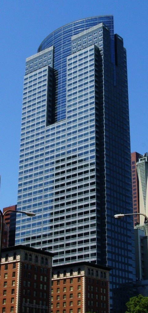
skyscraperGas Company Tower
52-story, 228.3 m (749 ft) class-A office skyscraper on Bunker Hill in downtown Los Angeles, California
Getting there Nearest stop or station Pershing Square, about 3 min on foot OpenStreetMap
Matthew Field, http://www.photography.mattfield.com / CC BY-SA 2.5
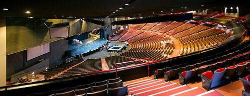
concert hallGibson Amphitheatre
former concert venue located in Los Angeles, California, United States of America
Getting there Nearest stop or station Universal City/Studio City, about 14 min on foot OpenStreetMap


Places to eat
Nothing here matches that. Clear a filter and try again.
Opening hours and tickets: OpenStreetMap contributors. Each one shows the day a volunteer last wrote it down, so check the official site before you set out.