Las Vegas: what to see and where to eat
Everything below comes from open data and each row says where it came from. We have not been to any of these places and we do not rank them.
Filters
Things to see
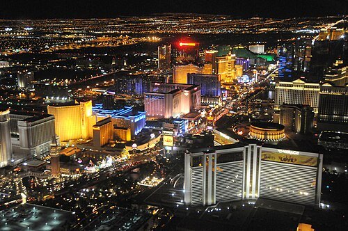 street
Las Vegas Strip
approximately 4 mile stretch of Las Vegas Boulevard in Paradise, Winchester, and Las Vegas in Nevada, United States, with many resorts, shows, and casinos
Getting there Nearest stop or station Harrah's & The LINQ, about 6 min on foot OpenStreetMap
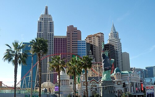 skyscraper
New York-New York Hotel and Casino
hotel and casino in Las Vegas
Getting there Nearest stop or station Excalibur North, about 4 min on foot OpenStreetMap
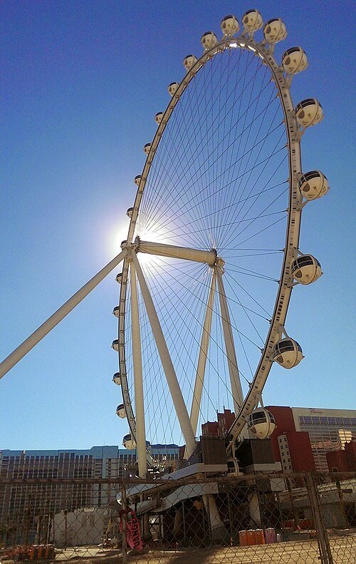 ferris wheel
High Roller
ferris wheel in Las Vegas, Nevada
Getting there Nearest stop or station Harrah's & The LINQ, about 2 min on foot OpenStreetMap
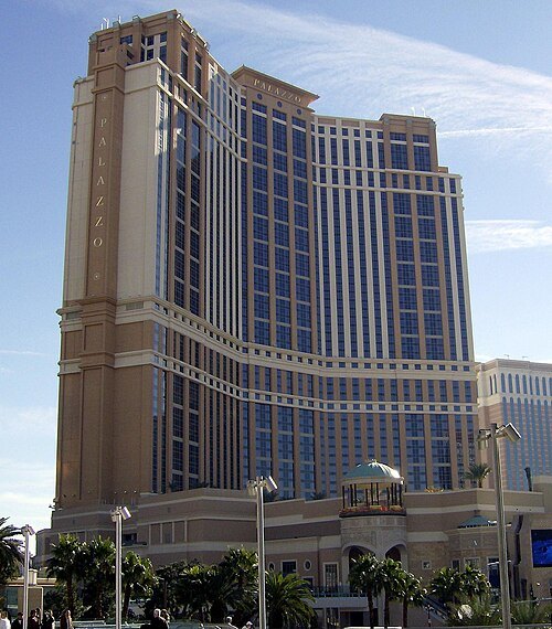 skyscraper
The Palazzo
hotel and casino resort in Las Vegas, Nevada, United States of America
Getting there Nearest stop or station Harrah's & The LINQ, about 10 min on foot OpenStreetMap
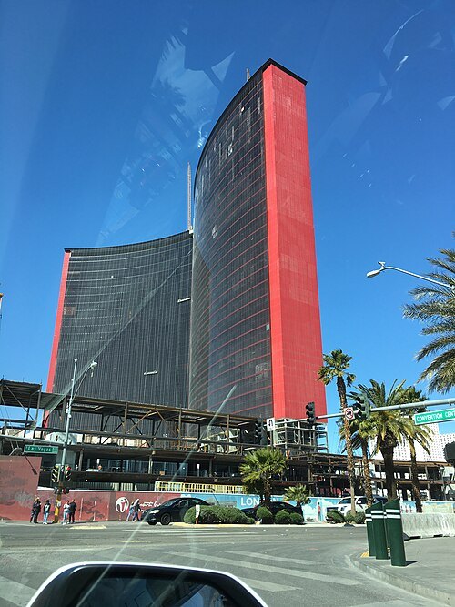
Jean-Christophe BENOIST / CC BY 3.0
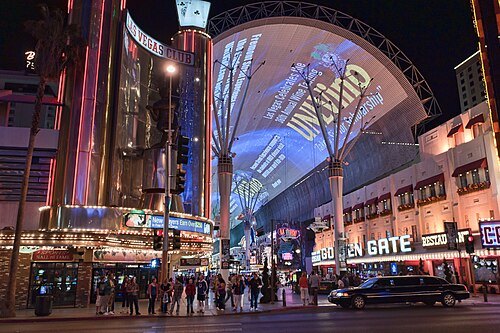
streetFremont Street Experience
pedestrian mall and tourist attraction in downtown Las Vegas, Nevada, United States
Getting there Nearest stop or station Greyhound, about 5 min on foot OpenStreetMap
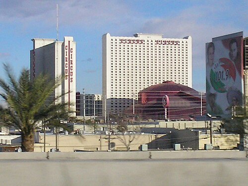 amusement park
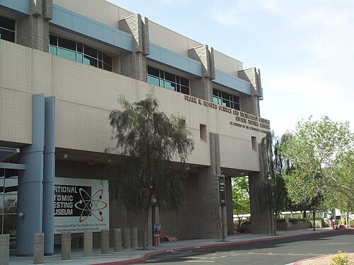
Adventuredome
Indoor amusement park at Circus Circus in Winchester, Nevada, USA
Getting there Nearest stop or station Sahara Las Vegas Monorail Station, about 18 min on foot OpenStreetMap
Miss O'Crazy from New York, NY / CC BY 2.0
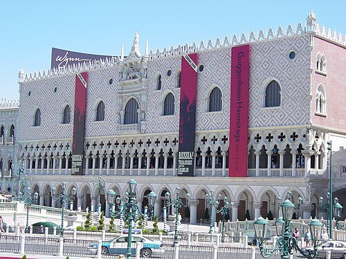
art museumGuggenheim Hermitage Museum
in Paradise, Nevada
Getting there Nearest stop or station Harrah's & The LINQ, about 4 min on foot OpenStreetMap
The original uploader was Alexiswikipédia at French Wikipedia. / CC BY 2.0
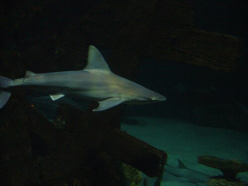
zooShark Reef at Mandalay Bay
aquarium in Nevada, United States
Getting there Nearest stop or station Excalibur North, about 17 min on foot OpenStreetMap
Jeremy Thompson from Los Angeles, California / CC BY 2.0
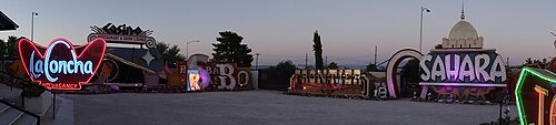
art museumNeon Museum
art museum in Las Vegas, Nevada
Getting there Nearest stop or station Greyhound, about 20 min on foot OpenStreetMap
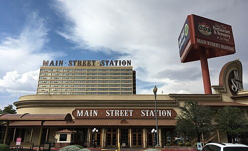 skyscraper
Main Street Station Hotel and Casino and Brewery
hotel, casino and brewery in Las Vegas, Nevada
Getting there Nearest stop or station Greyhound, about 7 min on foot OpenStreetMap
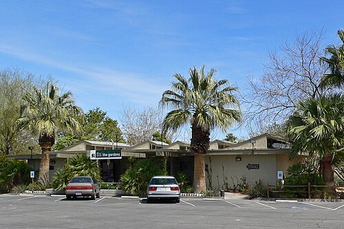
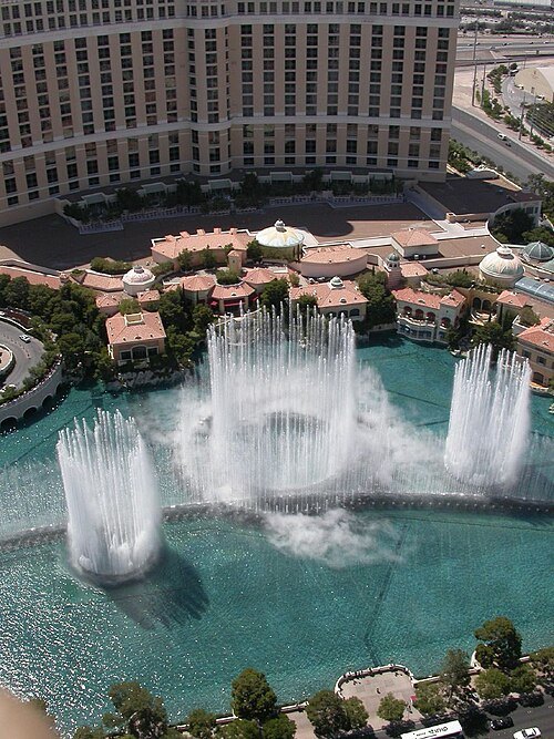
Rob Young from United Kingdom / CC BY 2.0
fountainFountains of Bellagio
fountain in Las Vegas, Nevada
Getting there Nearest stop or station Bellagio Tram Station, about 7 min on foot OpenStreetMap
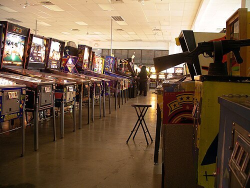
 music venue
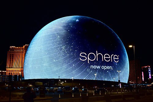
Sphere
music and entertainment arena in Las Vegas, Nevada, United States
Getting there Nearest stop or station Harrah's & The LINQ, about 10 min on foot OpenStreetMap
 street circuit
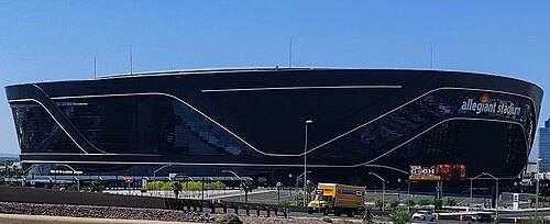
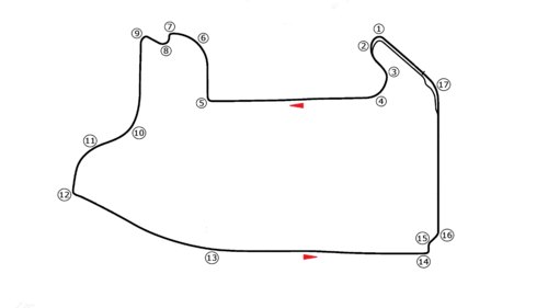
Las Vegas Strip Circuit
racing circuit in Las Vegas, USA
Getting there Nearest stop or station Horseshoe/Paris Las Vegas, about 9 min on foot OpenStreetMap
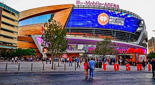
Tomás Del Coro from Las Vegas, Nevada, USA / CC BY-SA 2.0
arenaT-Mobile Arena
multi-purpose arena on the Las Vegas Strip
Getting there Nearest stop or station Park MGM Tram Station, about 6 min on foot OpenStreetMap
- caesars palace grand prix
1981 Caesars Palace Grand Prix
Formula One motor race
Getting there Nearest stop or station Harrah's & The LINQ, about 12 min on foot OpenStreetMap
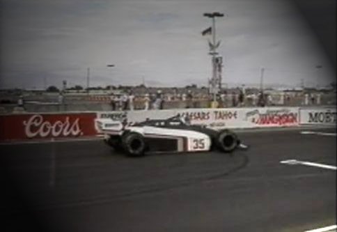
- caesars palace grand prix
1982 Caesars Palace Grand Prix
racing
Getting there Nearest stop or station Harrah's & The LINQ, about 12 min on foot OpenStreetMap
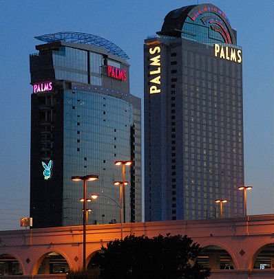
 street circuit
Caesar's Palace Circuit
race track
Getting there Nearest stop or station Harrah's & The LINQ, about 12 min on foot OpenStreetMap
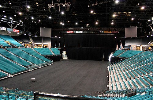
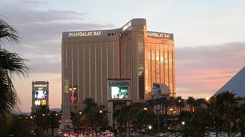 event venue
Michelob Ultra Arena
indoor arena in Las Vegas, Nevada, United States
Getting there Nearest stop or station Excalibur North, about 18 min on foot OpenStreetMap
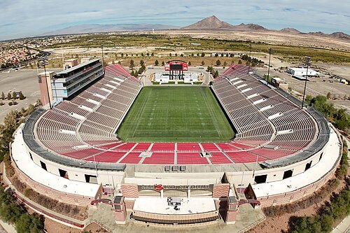
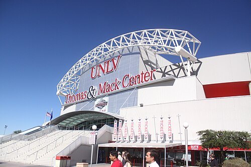 arena
Thomas & Mack Center
indoor arena in the Las Vegas area, Nevada, United States
Getting there Nearest stop or station UNLV Transit Center, about 8 min on foot OpenStreetMap
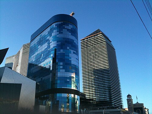 skyscraper
The Harmon
demolished Las Vegas hotel
Getting there Nearest stop or station The Crystals Tram Station, about 2 min on foot OpenStreetMap
Forest & Kim Starr / CC BY 3.0
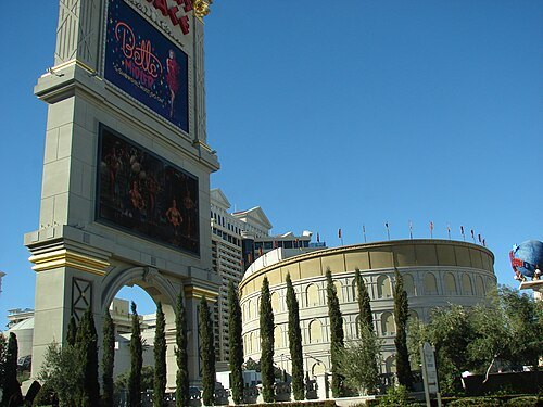
theatre buildingThe Colosseum at Caesars Palace
theater on the Las Vegas Strip in Las Vegas, Nevada
Getting there Nearest stop or station Harrah's & The LINQ, about 9 min on foot OpenStreetMap
 temple
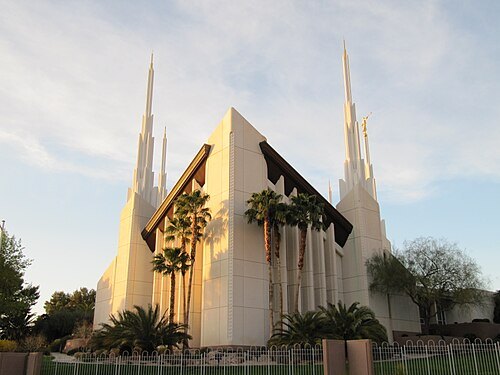
Las Vegas Nevada Temple
temple of The Church of Jesus Christ of Latter-day Saints in Sunrise Manor, Nevada, United States
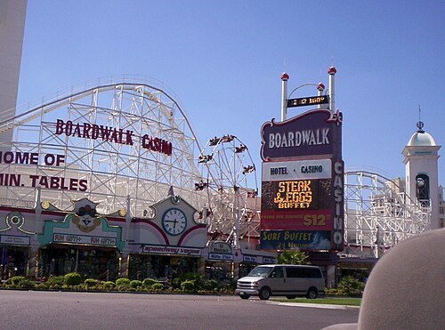 skyscraper
Boardwalk Hotel and Casino
skyscraper on the Las Vegas Strip in Nevada, United States
Getting there Nearest stop or station The Crystals Tram Station, about 3 min on foot OpenStreetMap
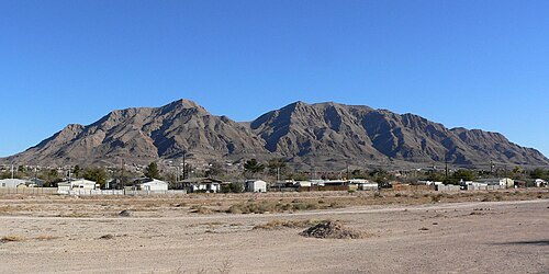
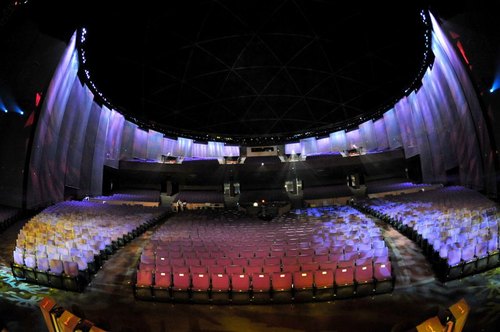 music venue
PH Live
theater in Las Vegas, Nevada, USA
Getting there Nearest stop or station Horseshoe/Paris Las Vegas, about 6 min on foot OpenStreetMap
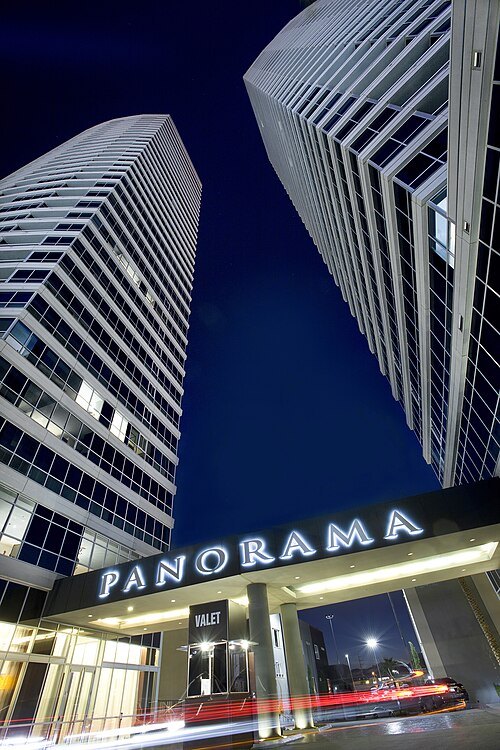 skyscraper
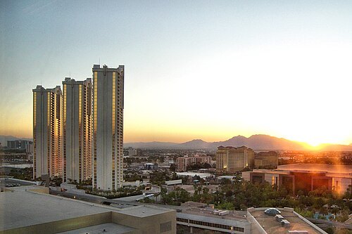
Panorama Towers
luxury high-rise condominium complex in Paradise, Nevada
Getting there Nearest stop or station Bellagio Tram Station, about 8 min on foot OpenStreetMap
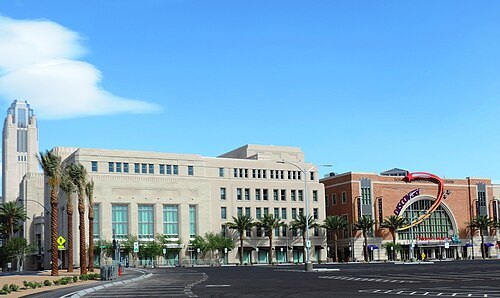 performing arts center
Smith Center for the Performing Arts
performing arts center in Downtown Las Vegas
Getting there Nearest stop or station Greyhound, about 7 min on foot OpenStreetMap
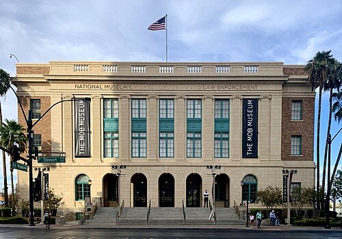 museum
Mob Museum
organized crime and law enforcement museum in Las Vegas, Nevada
Getting there Nearest stop or station Greyhound, about 10 min on foot OpenStreetMap
- skyscraper
Las Vegas Plaza
cancelled hotel and casino resort in Nevada
Getting there Nearest stop or station Harrah's & The LINQ, about 18 min on foot OpenStreetMap
- catholic cathedral
Guardian Angel Cathedral
Catholic cathedral in Las Vegas, Nevada, United States
Getting there Nearest stop or station Convention Center, about 14 min on foot OpenStreetMap
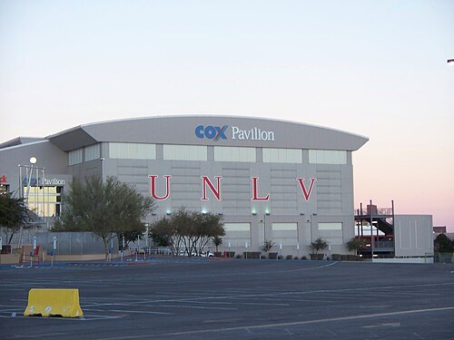 arena
Cox Pavilion
indoor arena on the University of Nevada, Las Vegas campus
Getting there Nearest stop or station UNLV Transit Center, about 6 min on foot OpenStreetMap
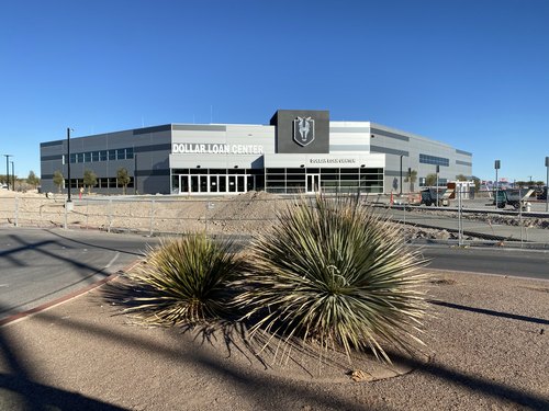
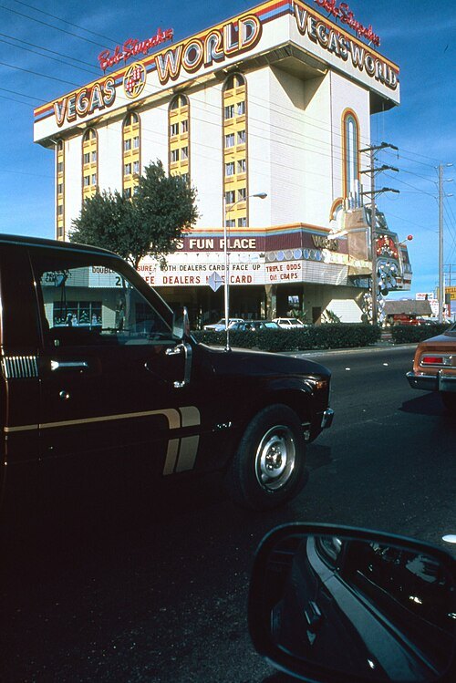 skyscraper
Vegas World
Las Vegas hotel and casino
Getting there Nearest stop or station Sahara Las Vegas Monorail Station, about 10 min on foot OpenStreetMap
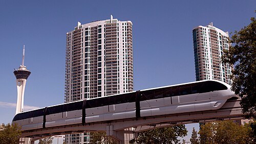 skyscraper
Turnberry Towers
residential in Winchester, Nevada
Getting there Nearest stop or station Sahara Las Vegas Monorail Station, about 4 min on foot OpenStreetMap
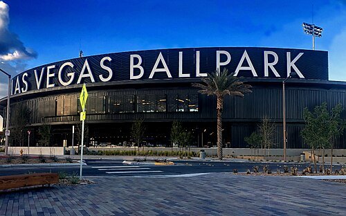 baseball venue
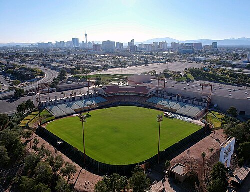
Las Vegas Ballpark
baseball park in Summerlin, Nevada
Getting there Nearest stop or station Downtown Summerlin Transit Center, about 3 min on foot OpenStreetMap
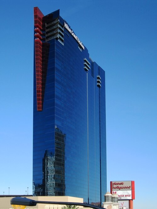
David Stanley from Nanaimo, Canada / CC BY 2.0
tower blockElara
hotel and timeshare in Las Vegas
Getting there Nearest stop or station Horseshoe/Paris Las Vegas, about 7 min on foot OpenStreetMap
- theatre building
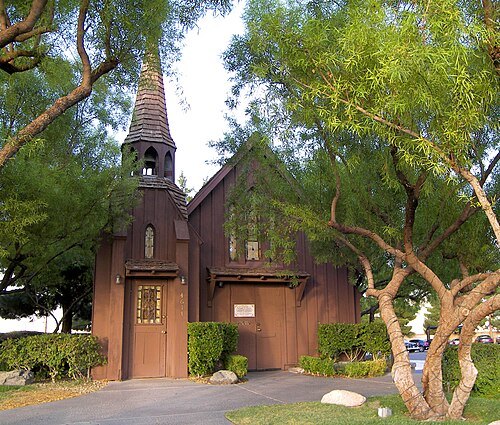
Las Vegas Little Theater
theater in Las Vegas, Nevada
Getting there Nearest stop or station Greyhound, about 5 min on foot OpenStreetMap
- mosque
Masjid As-Sabur
Mosque of United States
Getting there Nearest stop or station Las Vegas - Tufesa, about 13 min on foot OpenStreetMap
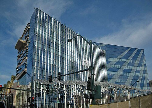
Neaco at English Wikipedia / CC BY-SA 3.0
city hallLas Vegas City Hall
center of municipal government for the City of Las Vegas, Nevada
Getting there Nearest stop or station Bonneville Transit Center, about 5 min on foot OpenStreetMap
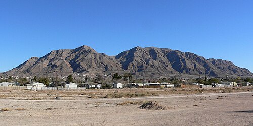
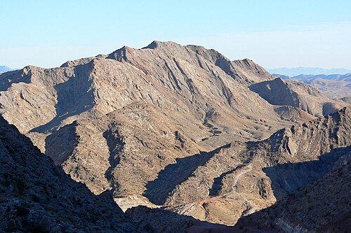
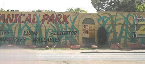
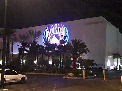 venue
The Joint
Venue in Paradise, Nevada, United States
Getting there Nearest stop or station Horseshoe/Paris Las Vegas, about 19 min on foot OpenStreetMap
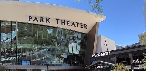 venue
Dolby Live
an indoor amphitheater on the grounds of the Park MGM in Las Vegas, Nevada
Getting there Nearest stop or station Park MGM Tram Station, about 4 min on foot OpenStreetMap
- baseball venue
New Las Vegas Stadium
proposed future ballpark for the Oakland Athletics
Getting there Nearest stop or station Excalibur North, about 3 min on foot OpenStreetMap


Places to eat
- restaurant
China A Go Go
Food: chinese
- restaurant
Jin Mee Korean BBQ
Food: korean
- restaurant
Tacos Mexico
Food: mexican
Nothing here matches that. Clear a filter and try again.
Opening hours and tickets: OpenStreetMap contributors. Each one shows the day a volunteer last wrote it down, so check the official site before you set out.