Denver: what to see and where to eat
Everything below comes from open data and each row says where it came from. We have not been to any of these places and we do not rank them.
Filters
Things to see
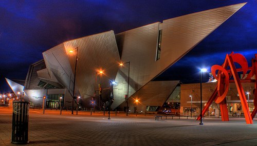 art museum
Denver Art Museum
museum in Denver, Colorado, United States
Getting there Nearest stop or station Civic Center Station, about 8 min on foot OpenStreetMap
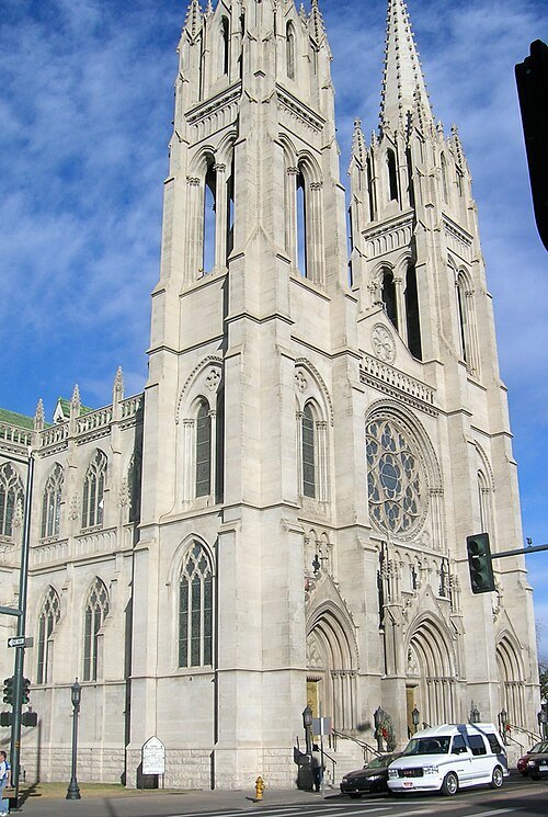
Original uploader was Vertigo700 at en.wikipedia / CC BY-SA 3.0
catholic cathedralCathedral Basilica of the Immaculate Conception
church in Colorado, United States
Getting there Nearest stop or station Civic Center Station, about 6 min on foot OpenStreetMap
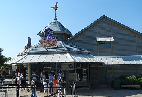
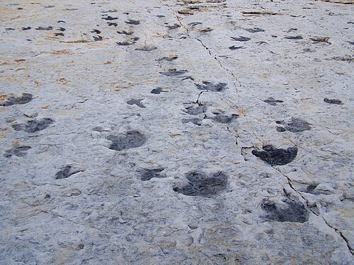
- astronomical observatory
Chamberlin Observatory
astronomical observatory in Denver, United States of America
 toy museum
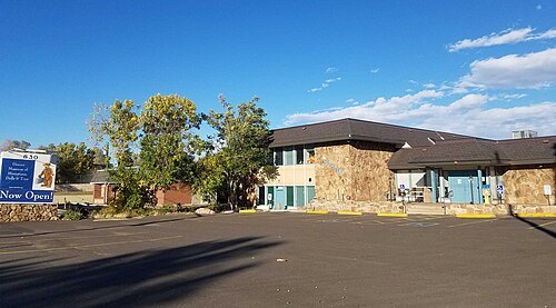
Denver Museum of Miniatures, Dolls and Toys
toy museum in Denver, Colorado
Getting there Nearest stop or station Garrison, about 17 min on foot OpenStreetMap
 theatre building
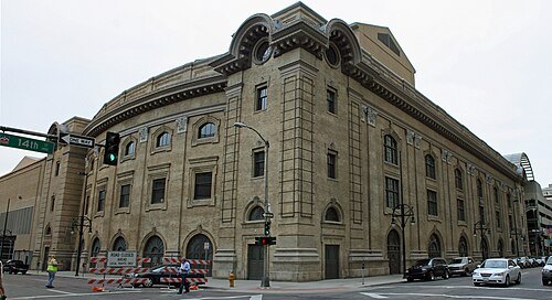
Ellie Caulkins Opera House
building in Denver, United States of America
Getting there Nearest stop or station Theatre District / Convention Center, about 3 min on foot OpenStreetMap
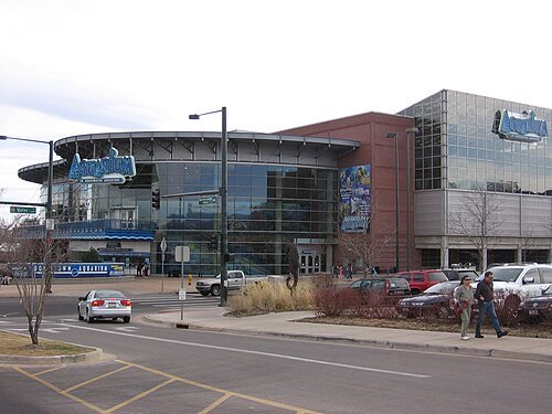
Ginkgo100 at English Wikipedia / CC BY-SA 3.0
zooDowntown Aquarium, Denver
aquarium in Colorado, U.S
Getting there Nearest stop or station Confluence Park / REI, about 8 min on foot OpenStreetMap
 amusement park
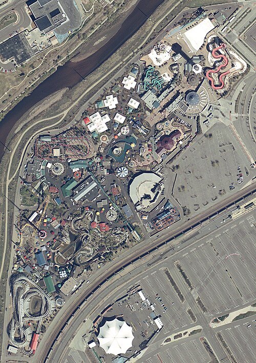
Elitch Gardens Theme Park
Theme park in Denver, Colorado
Getting there Nearest stop or station Ball Arena / Elitch Gardens, about 4 min on foot OpenStreetMap
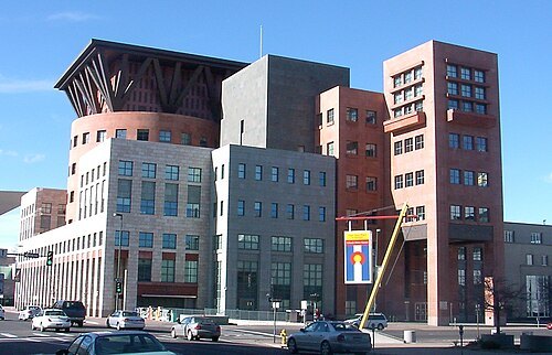 library
Denver Public Library
public library system in Denver, Colorado
Getting there Nearest stop or station Civic Center Station, about 6 min on foot OpenStreetMap
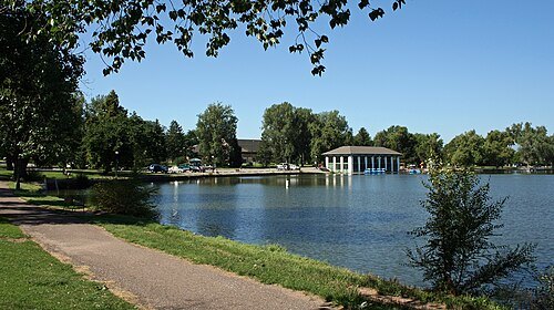 historic district
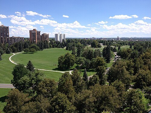
Washington Park
human settlement in Denver, Colorado, United States of America
Getting there Nearest stop or station Louisiana & Pearl, about 16 min on foot OpenStreetMap
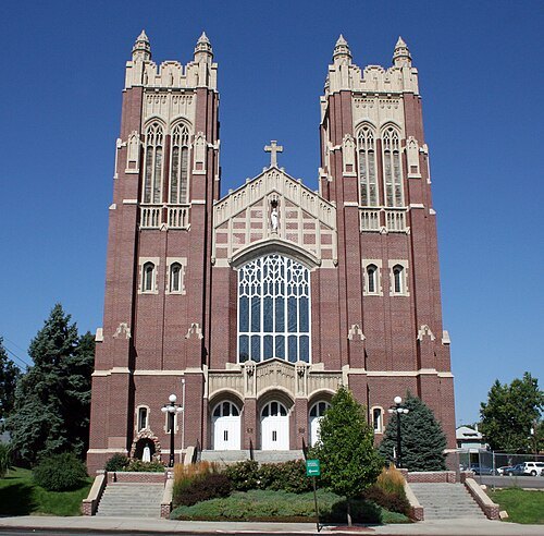
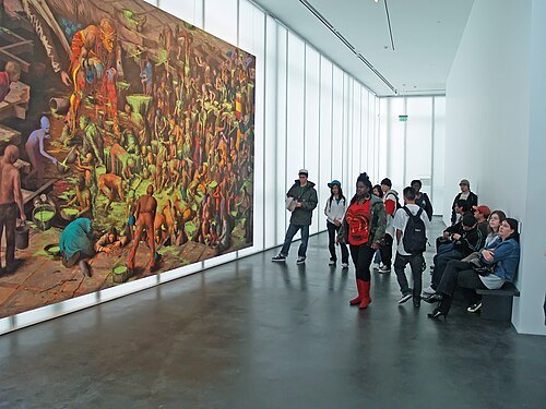 art museum
Museum of Contemporary Art Denver
non-profit organization in the USA
Getting there Nearest stop or station Union Station Bus Concourse, about 4 min on foot OpenStreetMap
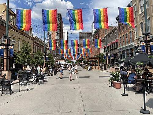 historic district
Larimer Square
United States historic center
Getting there Nearest stop or station Theatre District / Convention Center, about 8 min on foot OpenStreetMap
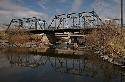 truss bridge
19th Street Bridge
truss bridge in Denver, Colorado
Getting there Nearest stop or station Union Station Light Rail Plaza, about 8 min on foot OpenStreetMap
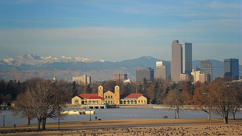
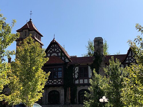
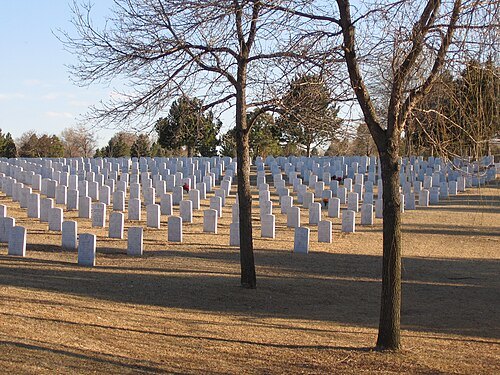
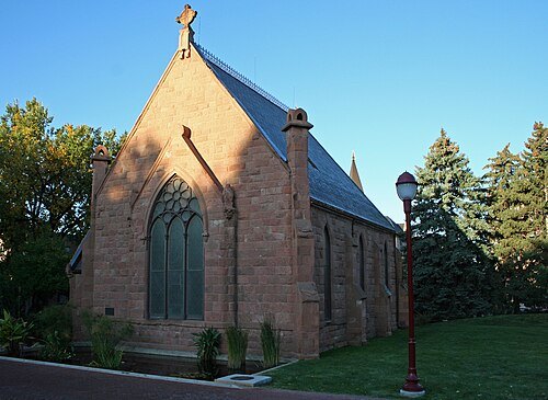 chapel
Evans Memorial Chapel
oldest continuously-used Protestant building in Denver
Getting there Nearest stop or station University of Denver, about 15 min on foot OpenStreetMap
- amusement park
Lakeside Amusement Park
family-owned amusement park in Lakeside, Colorado adjacent to Denver
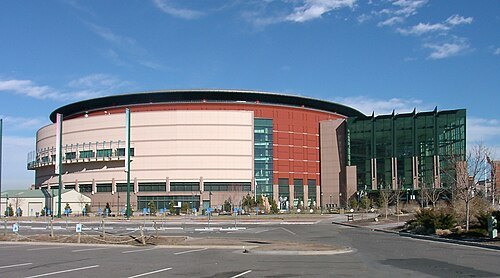
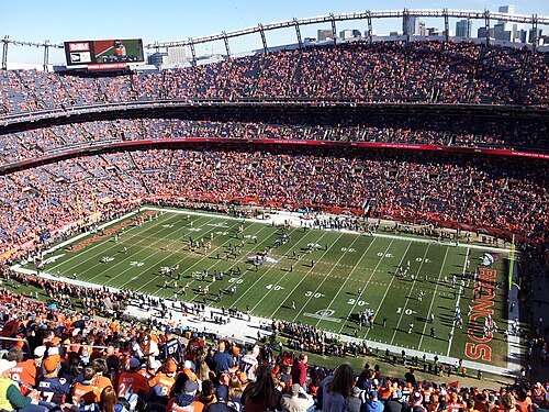
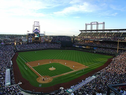 stadium
Coors Field
baseball stadium in Denver, Colorado, USA; home venue of the Colorado Rockies
Getting there Nearest stop or station Union Station, about 10 min on foot OpenStreetMap
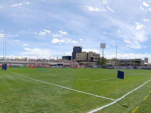
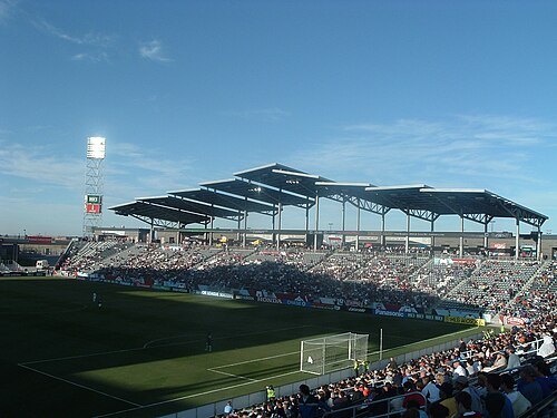 association football venue
Dick's Sporting Goods Park
soccer-specific stadium located in Commerce City, Colorado, USA
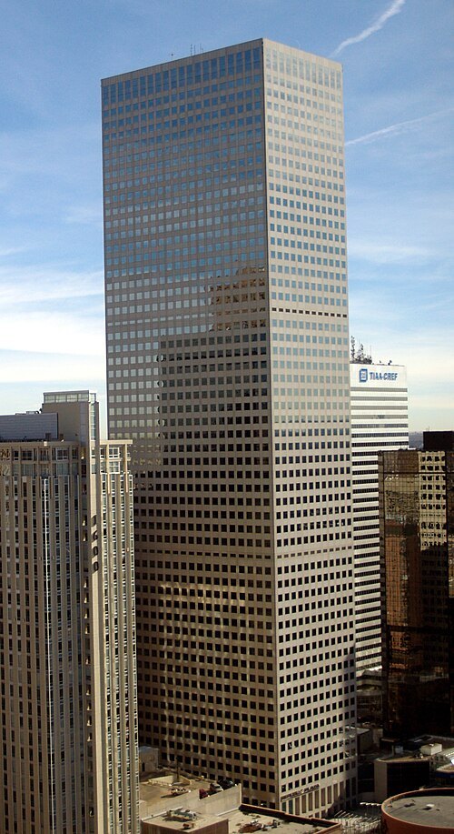
David Shankbone / CC BY-SA 3.0
skyscraperRepublic Plaza
skyscraper in Denver, Colorado
Getting there Nearest stop or station Civic Center Station, about 5 min on foot OpenStreetMap
- stadium
Mile High Stadium
demolished outdoor multi-purpose stadium in Denver, Colorado
Getting there Nearest stop or station Empower Field at Mile High, about 12 min on foot OpenStreetMap
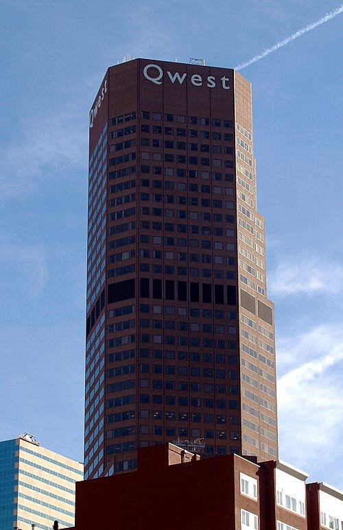
David Shankbone / CC BY-SA 3.0
tower block1801 California Street
tower block
Getting there Nearest stop or station 18th & Stout, about 1 min on foot OpenStreetMap
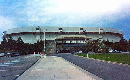
Drive-In Mike from Independence, MO, USA / CC BY 2.0
arenaMcNichols Sports Arena
demolished indoor arena
Getting there Nearest stop or station Decatur Federal, about 10 min on foot OpenStreetMap
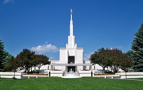 temple
Denver Colorado Temple
temple in the USA, Colorado
Getting there Nearest stop or station RTD C-470 / So University Park-n-Ride, about 14 min on foot OpenStreetMap
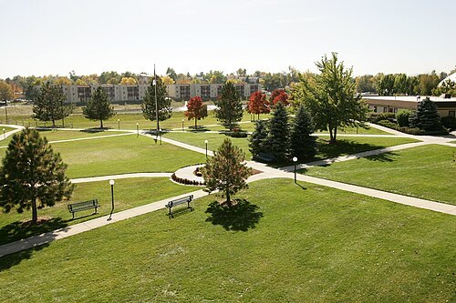
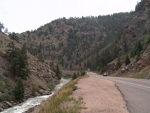
Ken Gallager at en.wikipedia / Public domain
riverClear Creek
tributary of the South Platte River in north central Colorado, United States
Getting there Nearest stop or station Commerce City & 72nd, about 8 min on foot OpenStreetMap
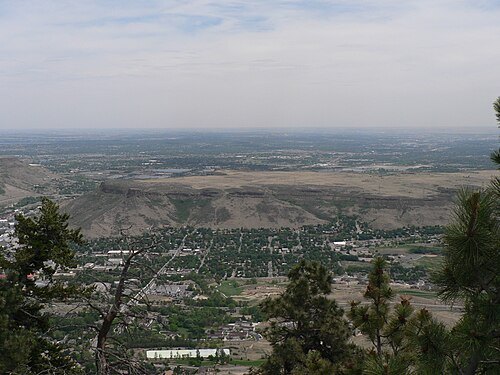
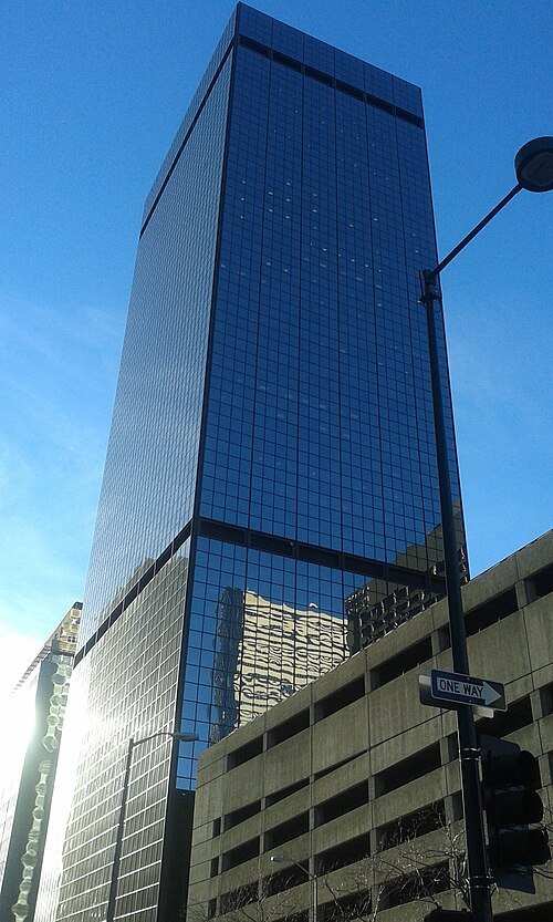 skyscraper
555 17th Street
skyscraper in Denver, Colorado
Getting there Nearest stop or station 18th & California, about 3 min on foot OpenStreetMap
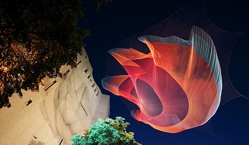 sculpture
1.26
public art sculpture
Getting there Nearest stop or station Civic Center Station, about 7 min on foot OpenStreetMap
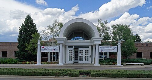 synagogue
Temple Sinai
reform synagogue in Denver, Colorado, US
Getting there Nearest stop or station Southmoor, about 16 min on foot OpenStreetMap
Tim Kiser (w:User:Malepheasant) / CC BY-SA 2.5
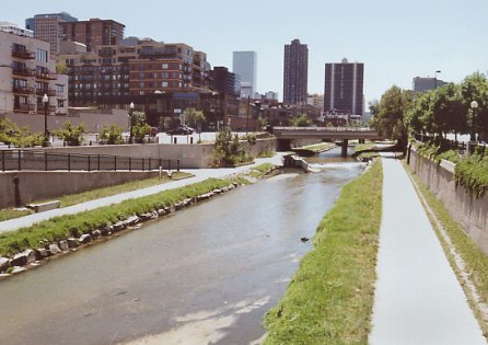
riverCherry Creek
tributary of the South Platte River
Getting there Nearest stop or station Confluence Park / REI, about 2 min on foot OpenStreetMap
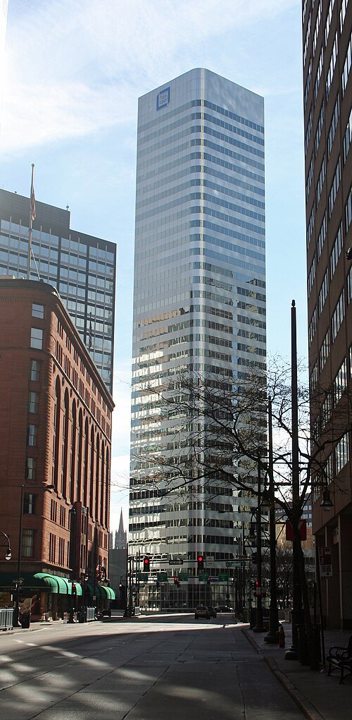 skyscraper
1670 Broadway
skyscraper in Denver, Colorado
Getting there Nearest stop or station Civic Center Station, about 3 min on foot OpenStreetMap
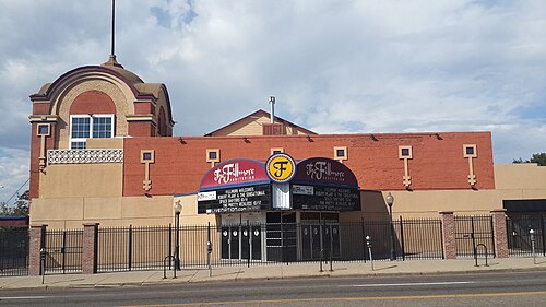 sports venue
Fillmore Auditorium
concert venue located in the Capitol Hill neighborhood in Denver, Colorado
Getting there Nearest stop or station Civic Center Station, about 13 min on foot OpenStreetMap
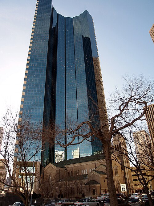 skyscraper
1999 Broadway
skyscraper in Denver, Colorado, United States
Getting there Nearest stop or station 20th & Welton, about 1 min on foot OpenStreetMap
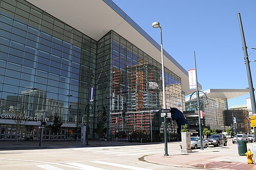 stadium
Colorado Convention Center
stadium
Getting there Nearest stop or station Theatre District / Convention Center, about 4 min on foot OpenStreetMap
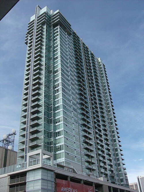 skyscraper
Spire
high-rise building containing 496 condominium homes in Denver, Colorado
Getting there Nearest stop or station Theatre District / Convention Center, about 1 min on foot OpenStreetMap
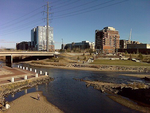
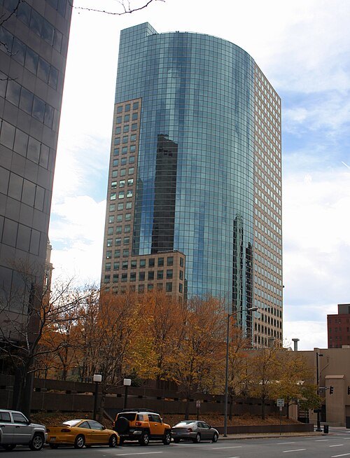 tower block
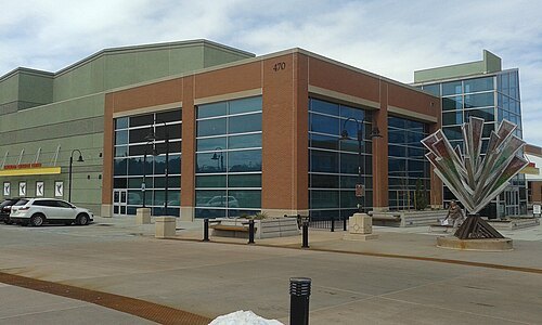
One Tabor Center
skyscraper in Denver, Coloradoq
Getting there Nearest stop or station 16th & Stout, about 7 min on foot OpenStreetMap
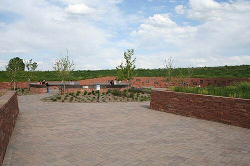
Sesamehoneytart / CC BY-SA 4.0
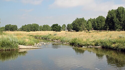
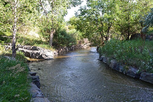
riverLittle Dry Creek
tributary of the South Platte River in Arapahoe County, Colorado in the United States
Getting there Nearest stop or station Englewood, about 9 min on foot OpenStreetMap
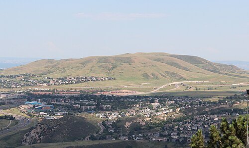
 river
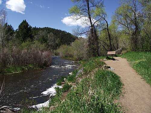
Bear Creek
river in Colorado, United States of America
Getting there Nearest stop or station Oxford - City of Sheridan, about 17 min on foot OpenStreetMap


Places to eat
Nothing here matches that. Clear a filter and try again.
Opening hours and tickets: OpenStreetMap contributors. Each one shows the day a volunteer last wrote it down, so check the official site before you set out.