Chicago: what to see and where to eat
Everything below comes from open data and each row says where it came from. We have not been to any of these places and we do not rank them.
Filters
Things to see
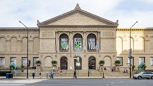 art museum
Art Institute of Chicago
art museum and school in Chicago, United States
Getting there Nearest stop or station Adams/Wabash, about 3 min on foot OpenStreetMap
- urban park
Millennium Park
public park in Chicago, Illinois, USA
Getting there Nearest stop or station Millennium Station, about 4 min on foot OpenStreetMap
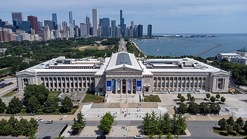 natural history museum
Field Museum of Natural History
natural history museum in Chicago, Illinois, United States
Getting there Nearest stop or station Museum Campus, about 4 min on foot OpenStreetMap
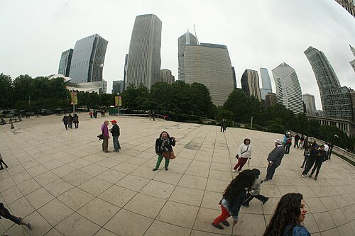
orangemania from Montréal, QC / CC BY 2.0
sculptureCloud Gate
public art sculpture in Chicago, Illinois, United States
Getting there Nearest stop or station Millennium Station, about 3 min on foot OpenStreetMap
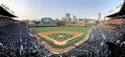 stadium
Wrigley Field
baseball stadium in Chicago, Illinois, USA; home venue of the Chicago Cubs
Getting there Nearest stop or station Addison, about 3 min on foot OpenStreetMap
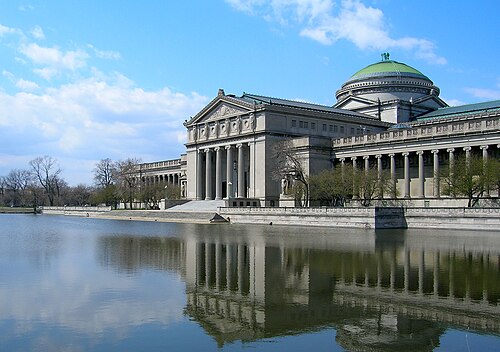
zooey from Chicago, Illinois USA / CC BY 2.0
museumKenneth C. Griffin Museum of Science and Industry
museum in Chicago, Illinois, United States
Getting there Nearest stop or station 55th-56th-57th Street, about 7 min on foot OpenStreetMap
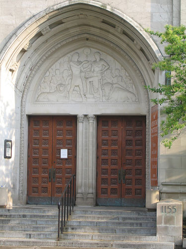
The original uploader was Salsb at English Wikipedia. / CC BY-SA 2.5
museumInstitute for the Study of Ancient Cultures, West Asia & North Africa
Chicago archaeology museum and research center
Getting there Nearest stop or station 59th Street (University of Chicago), about 12 min on foot OpenStreetMap
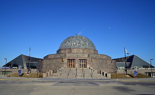
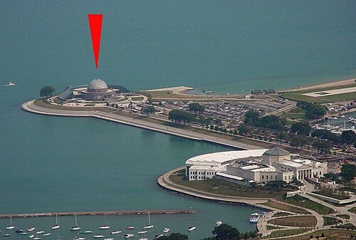
Adler Planetarium / CC BY-SA 3.0
planetariumAdler Planetarium
planetarium in Chicago, Illinois, United States
Getting there Nearest stop or station Museum Campus, about 12 min on foot OpenStreetMap
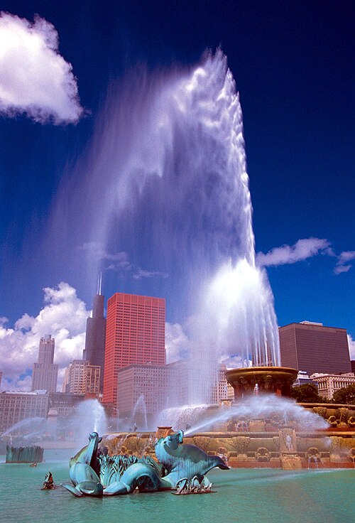
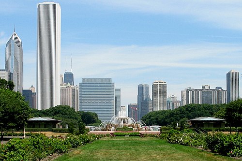 urban park
Grant Park
urban park in Chicago, Illinois, USA
Getting there Nearest stop or station Buckingham Fountain, about 4 min on foot OpenStreetMap
 public aquarium
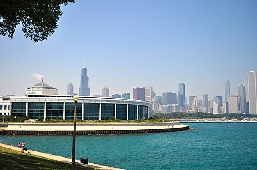
Shedd Aquarium
public aquarium in Chicago, Illinois, United States
Getting there Nearest stop or station Museum Campus, about 3 min on foot OpenStreetMap
 museum
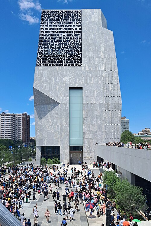
Barack Obama Presidential Center
presidential museum in Chicago, Illinois
Getting there Nearest stop or station 59th Street (University of Chicago), about 4 min on foot OpenStreetMap
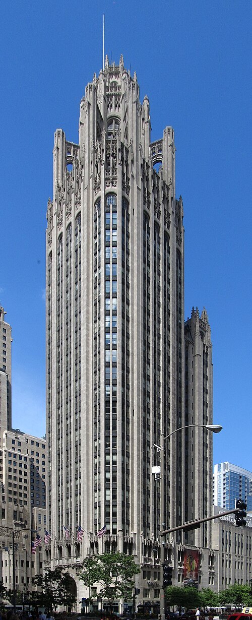
Ken Lund from Reno, Nevada, USA / CC BY-SA 2.0
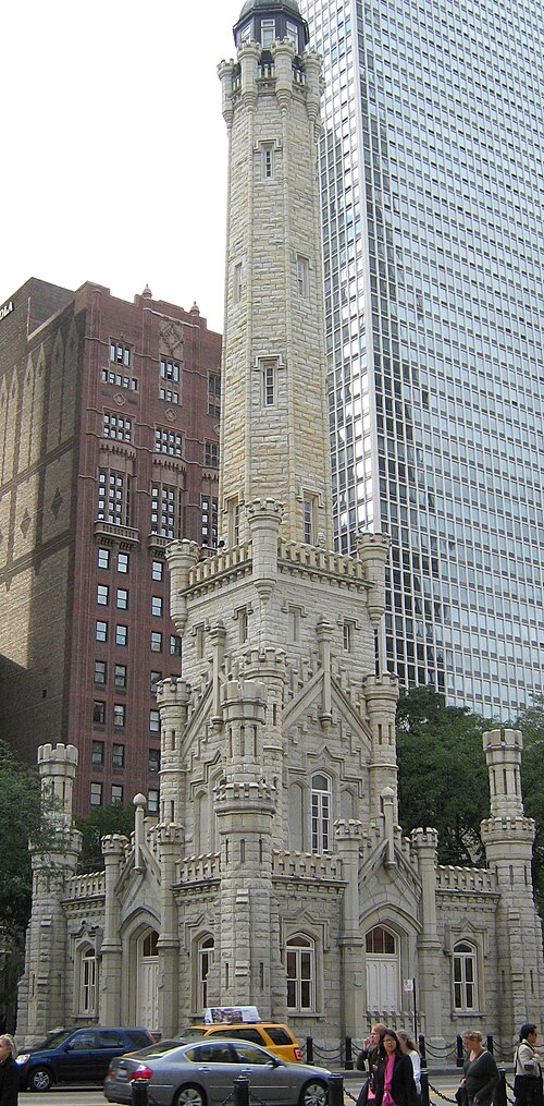
skyscraperTribune Tower
neo-Gothic skyscraper in Chicago
Getting there Nearest stop or station Michigan Avenue, about 2 min on foot OpenStreetMap
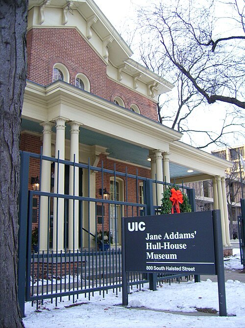
User talk:Hied5 / Public domain
mansionHull House
settlement house in Chicago, Illinois, United States
Getting there Nearest stop or station Desplaines & Harrison Terminal, about 6 min on foot OpenStreetMap
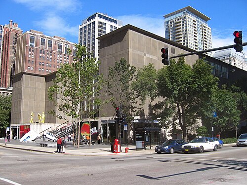
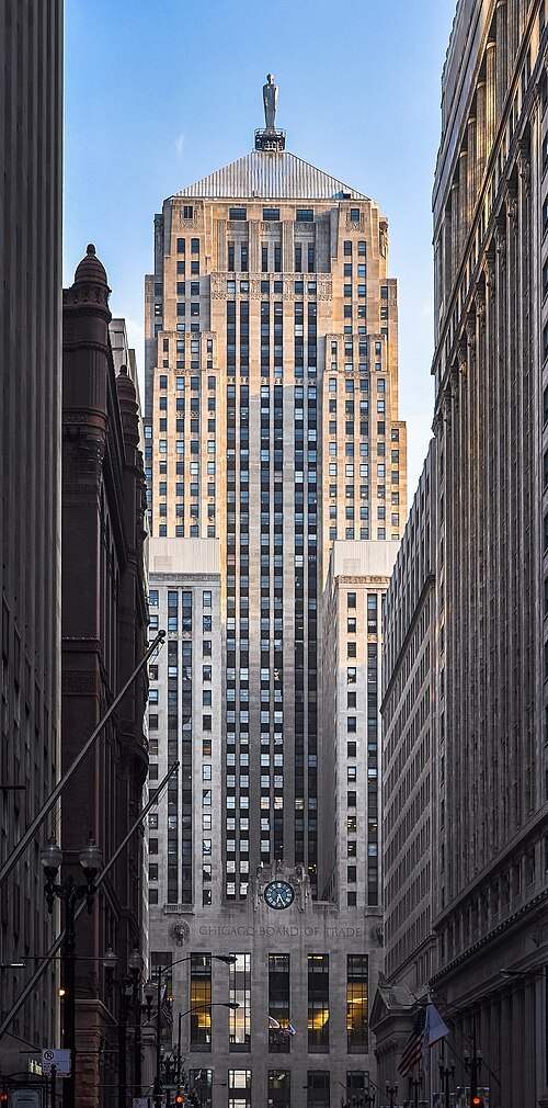
Joe Ravi (Shutterstock iStock Dreamstime) / CC BY-SA 3.0
tower blockChicago Board of Trade Building
skyscraper in Chicago, Illinois, United States
Getting there Nearest stop or station Quincy, about 2 min on foot OpenStreetMap
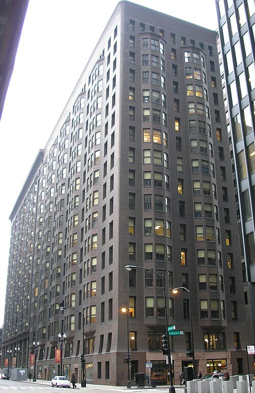 tower block
Monadnock Building
tower block in Chicago, Illinois, USA
Getting there Nearest stop or station Jackson, about 1 min on foot OpenStreetMap
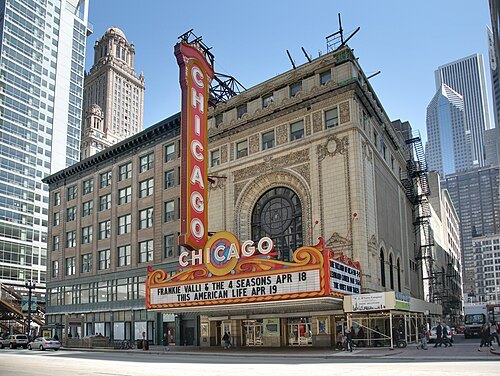 movie theater
Chicago Theatre
theater and former movie theater in Chicago, Illinois, United States
Getting there Nearest stop or station Lake, about 1 min on foot OpenStreetMap
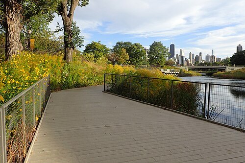
Krzysztof Ziarnek, Kenraiz / CC BY-SA 4.0
parkLincoln Park
large park along the lakefront of Chicago, Illinois' North Side
Getting there Nearest stop or station Belmont & Halsted Terminal, about 18 min on foot OpenStreetMap
- tower block
330 North Wabash
Skyscraper located in Chicago
Getting there Nearest stop or station Wendella Tours - Dock 4, about 2 min on foot OpenStreetMap
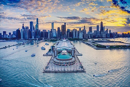 pier
Navy Pier
amusement pier in Chicago
Getting there Nearest stop or station Shoreline, about 2 min on foot OpenStreetMap
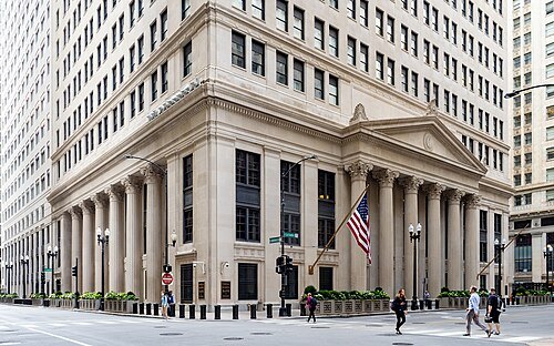 federal reserve bank
Federal Reserve Bank of Chicago
Federal Reserve Bank in Chicago, United States
Getting there Nearest stop or station LaSalle/Van Buren, about 3 min on foot OpenStreetMap
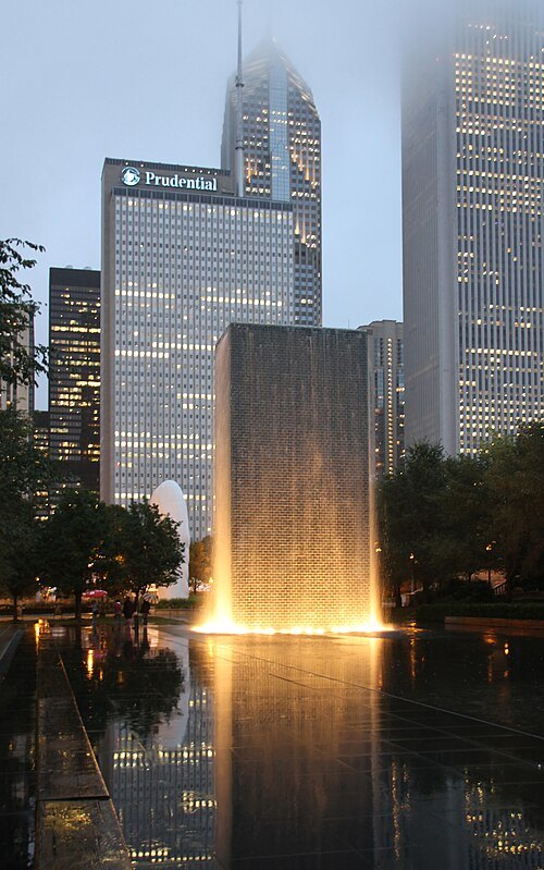
Tony Hisgett from Birmingham, UK / CC BY 2.0
sculptureCrown Fountain
interactive work of public art in Chicago, USA
Getting there Nearest stop or station Washington/Wabash, about 4 min on foot OpenStreetMap
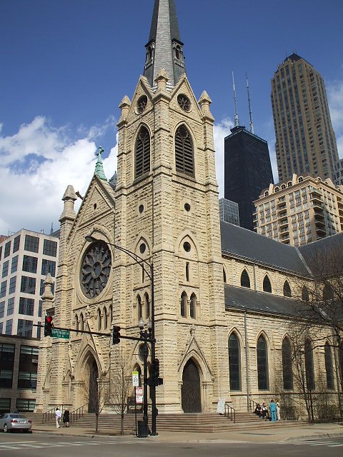
Gerald Farinas at English Wikipedia / CC BY 2.5
catholic cathedralHoly Name Cathedral, Chicago
Catholic cathedral in Chicago, Illinois, United States
- fort
Fort Dearborn
United States fort
Getting there Nearest stop or station Chicago's First Lady 1, about 1 min on foot OpenStreetMap
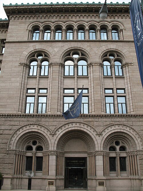
User:TonyTheTiger / CC BY-SA 3.0
rare book libraryNewberry Library
independent research library, free and open to the public, in Chicago, Illinois, USA
Getting there Nearest stop or station Chicago, about 7 min on foot OpenStreetMap
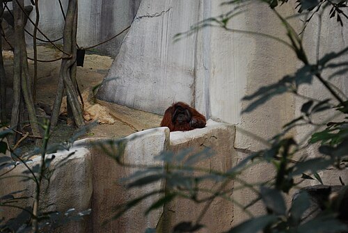 zoo
Brookfield Zoo
zoo in Cook County, Illinois
Getting there Nearest stop or station Hollywood, about 14 min on foot OpenStreetMap
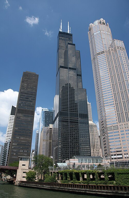
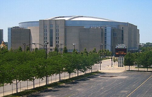 stadium
United Center
indoor arena in Chicago
Getting there Nearest stop or station Illinois Medical District, about 9 min on foot OpenStreetMap
- skyscraper
Aon Center
skyscraper in the Chicago Loop, Chicago, Illinois, United States
Getting there Nearest stop or station Millennium Station, about 3 min on foot OpenStreetMap
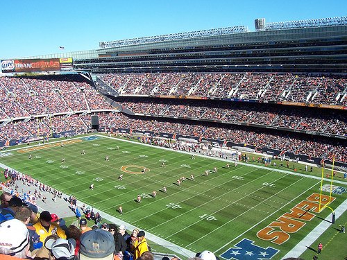
Photo by Joon Han Contact: onejoon@hotmail.com / CC BY-SA 3.0
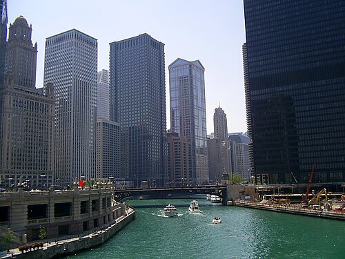 river
Chicago River
river in Chicago, Illinois, United States
Getting there Nearest stop or station Clinton, about 5 min on foot OpenStreetMap
- tower block
Two Prudential Plaza
Skysracper in Chicago, IL
Getting there Nearest stop or station Millennium Station, about 2 min on foot OpenStreetMap
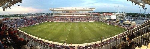 stadium
SeatGeek Stadium
stadium
Getting there Nearest stop or station Old Harlem & 64th Place Terminal, about 19 min on foot OpenStreetMap
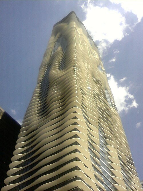 skyscraper
Aqua
skyscraper in Chicago, Illinois
Getting there Nearest stop or station Tiki Pontoons, about 3 min on foot OpenStreetMap
User Enoch Lai on en.wikipedia / CC BY-SA 3.0
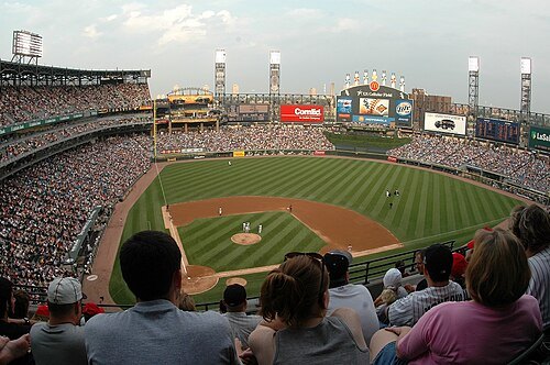
baseball venueRate Field
home venue of the Chicago White Sox
Getting there Nearest stop or station 35th Street, about 6 min on foot OpenStreetMap
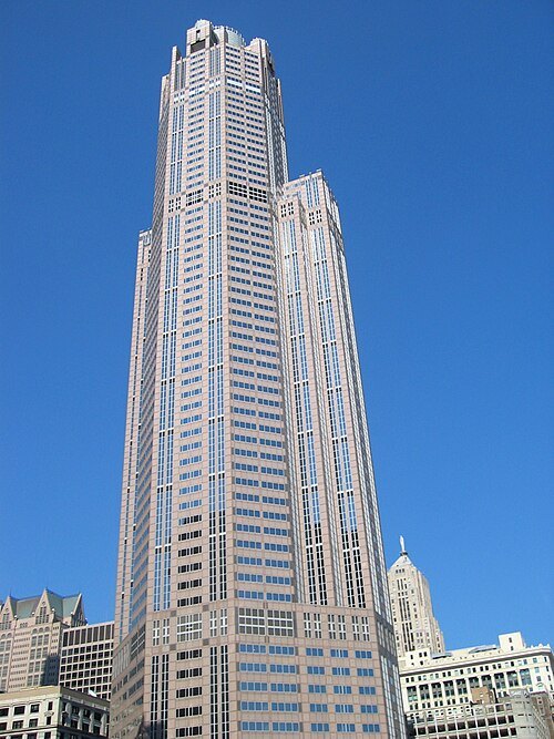 skyscraper
311 South Wacker Drive
Tower Block
Getting there Nearest stop or station Quincy, about 3 min on foot OpenStreetMap
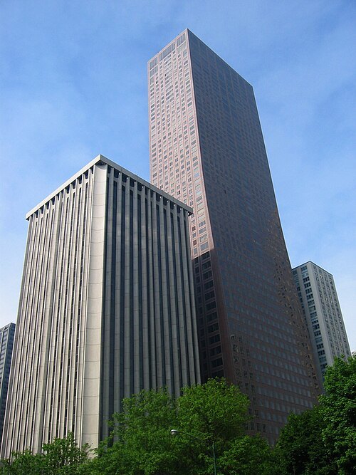
No machine-readable author provided. JeremyA assumed (based on copyright claims). / CC BY-SA 2.5
skyscraperOlympia Centre
skyscraper in Chicago
Getting there Nearest stop or station Chicago, about 7 min on foot OpenStreetMap
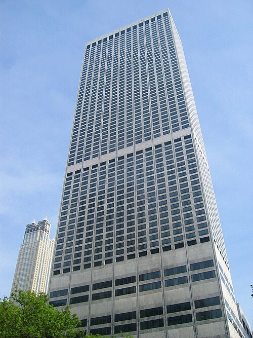
No machine-readable author provided. JeremyA assumed (based on copyright claims). / CC BY-SA 2.5
tower blockWater Tower Place
Skyscraper in Chicago, Illinois
Getting there Nearest stop or station Chicago, about 8 min on foot OpenStreetMap
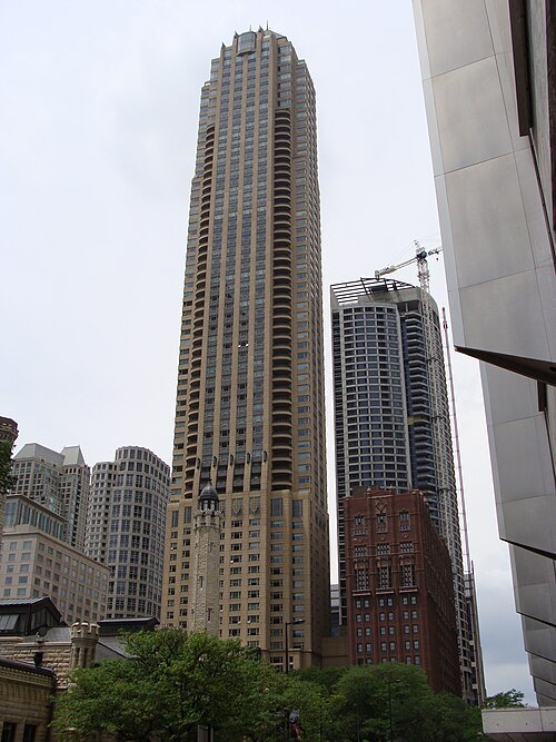 skyscraper
Park Tower
High-rise hotel and condominium building in Chicago, Illinois, United States
Getting there Nearest stop or station Chicago, about 4 min on foot OpenStreetMap
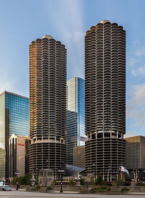 tower block
Marina City
mixed-use residential-commercial building complex in Chicago, Illinois, United States
Getting there Nearest stop or station Chicago Riverwalk, about 4 min on foot OpenStreetMap
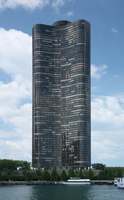 skyscraper
Lake Point Tower
high-rise residential building in Chicago, Illinois
Getting there Nearest stop or station Navy Pier (River Route), about 2 min on foot OpenStreetMap
- tower block
Chicago Title and Trust Center
building
Getting there Nearest stop or station Clark/Lake, about 2 min on foot OpenStreetMap
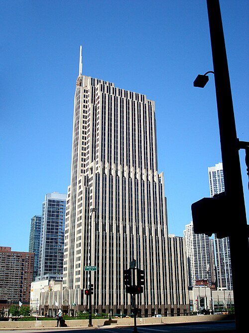 skyscraper
NBC Tower
Office tower in Chicago, Illinois, U.S.
Getting there Nearest stop or station Odyssey Chicago River, about 2 min on foot OpenStreetMap
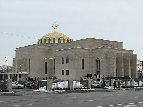
Zol87 from Chicago, IL, USA / CC BY-SA 4.0
mosqueMosque Maryam
mosque in Illinois, United States
Getting there Nearest stop or station Stony Island, about 10 min on foot OpenStreetMap
- arena
Chicago Stadium
former indoor stadium in Chicago, Illinois
Getting there Nearest stop or station Damen, about 8 min on foot OpenStreetMap
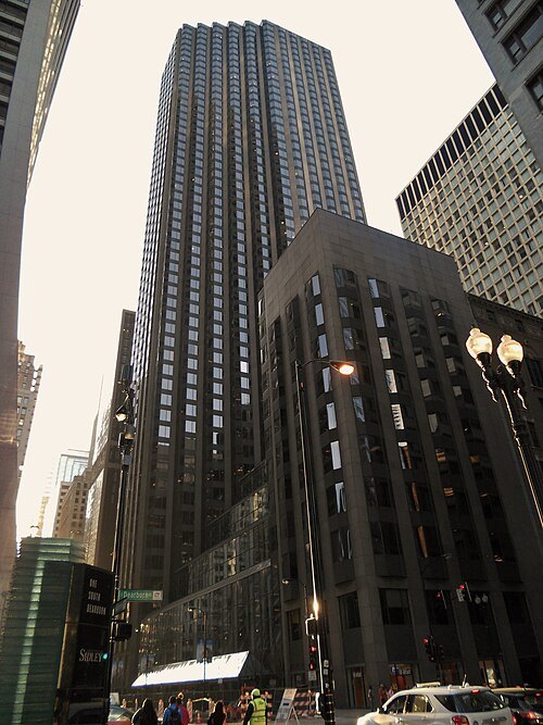 skyscraper
Three First National Plaza
office tower in Chicago
Getting there Nearest stop or station Washington, about 2 min on foot OpenStreetMap
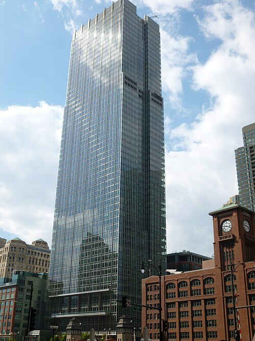 skyscraper
300 North LaSalle
architectural structure
Getting there Nearest stop or station Merchandise Mart, about 2 min on foot OpenStreetMap
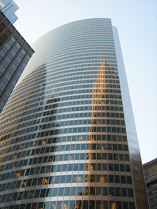
Zol87 from Chicago, Illinois, USA / CC BY-SA 2.0
skyscraperHyatt Center
office tower based in Chicago
Getting there Nearest stop or station Union Station/Willis Tower, about 3 min on foot OpenStreetMap
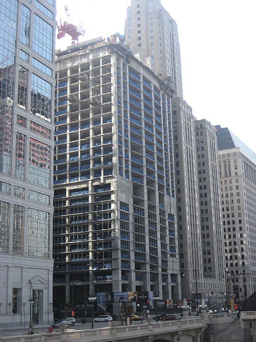
Hyperion924 (Ryan Kirby) at en.wikipedia / Public domain
tower blockWaterview Tower
high-rise luxury rental apartment tower located in downtown Chicago, Illinois
Getting there Nearest stop or station Clark/Lake, about 1 min on foot OpenStreetMap
- skyscraper
One Prudential Plaza
architectural structure
Getting there Nearest stop or station Millennium Station, about 1 min on foot OpenStreetMap
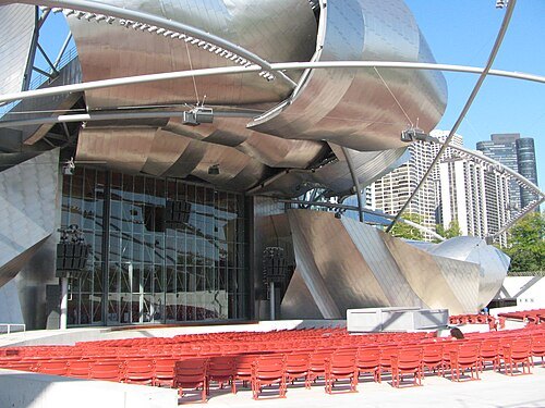
User:TonyTheTiger / CC BY-SA 3.0
parkJay Pritzker Pavilion
building in Millennium Park in the Loop community area of Chicago in Cook County, Illinois, United States
Getting there Nearest stop or station Millennium Station, about 3 min on foot OpenStreetMap
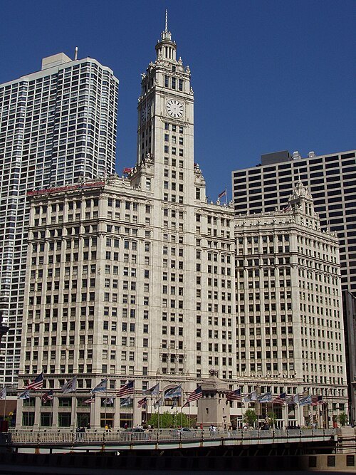 skyscraper
Wrigley Building
skyscraper in Chicago, Illinois, United States
Getting there Nearest stop or station Wendella Tours - Michigan Avenue, about 1 min on foot OpenStreetMap
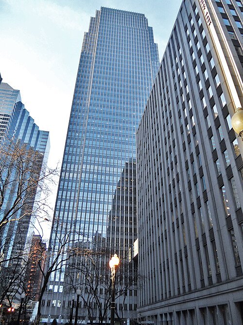 skyscraper
181 West Madison Street
multi-storey urban building
Getting there Nearest stop or station Washington/Wells, about 2 min on foot OpenStreetMap
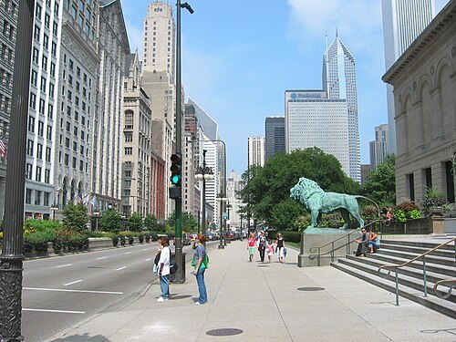
Dudesleeper at English Wikipedia / CC BY 2.5
streetMichigan Avenue
major north-south thoroughfare in Chicago, Illinois, United States
Getting there Nearest stop or station Chicago's First Lady 1, about 2 min on foot OpenStreetMap
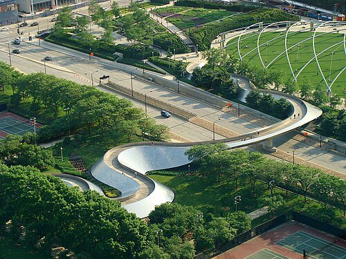 beam bridge
BP Pedestrian Bridge
Footbridge located in Chicago, Illinois
Getting there Nearest stop or station Millennium Station, about 5 min on foot OpenStreetMap
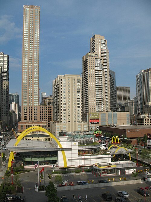
TonyTheTiger at English Wikipedia (Original text: en:User:TonyTheTiger) / CC BY-SA 3.0
skyscraperMillennium Centre
high-rise residential postmodern skyscraper in Chicago, Illinois
Getting there Nearest stop or station Grand, about 2 min on foot OpenStreetMap


Places to eat
Nothing here matches that. Clear a filter and try again.
Opening hours and tickets: OpenStreetMap contributors. Each one shows the day a volunteer last wrote it down, so check the official site before you set out.