Boston: what to see and where to eat
Everything below comes from open data and each row says where it came from. We have not been to any of these places and we do not rank them.
Filters
Things to see
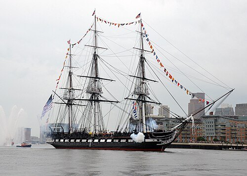
(U.S. Navy photo by Seaman Matthew R. Fairchild/Released) 140704-N-OG138-866 / Public domain
preserved watercraftUSS Constitution
1797 heavy frigate of the United States Navy, oldest commissioned naval vessel afloat
Getting there Nearest stop or station Charlestown Navy Yard Ferry Terminal, about 4 min on foot OpenStreetMap
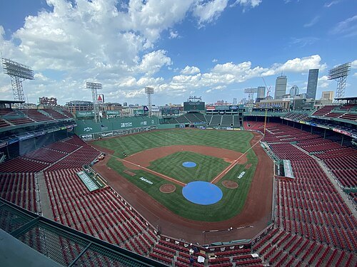 stadium
Fenway Park
ballpark in Boston, Massachusetts; home of the Boston Red Sox
Getting there Nearest stop or station Lansdowne, about 3 min on foot OpenStreetMap
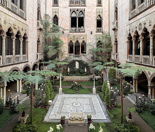 art museum
Isabella Stewart Gardner Museum
art museum in Boston, Massachusetts, United States
Getting there Nearest stop or station Longwood Medical Area, about 4 min on foot OpenStreetMap
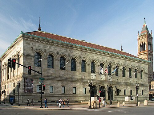 library network
Boston Public Library
library system in Boston, Massachusetts
Getting there Nearest stop or station Government Center, about 1 min on foot OpenStreetMap
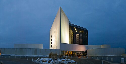 museum
John F. Kennedy Presidential Library and Museum
presidential library and museum for U.S. President John F. Kennedy in Boston, Massachusetts
Getting there Nearest stop or station Quincy/Squantum Point Park, about 20 min on foot OpenStreetMap
- urban park
Boston Common
public park in Boston, Massachusetts, USA
Getting there Nearest stop or station Boylston, about 3 min on foot OpenStreetMap
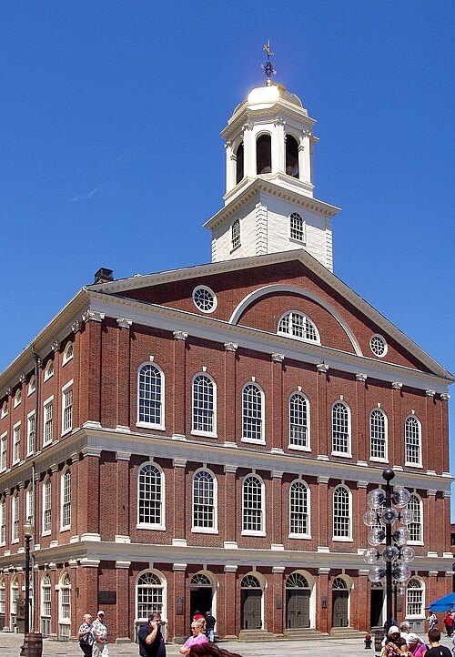
en:User:Daderot / CC BY-SA 3.0
event venueFaneuil Hall
historic building in Boston, Massachusetts, United States
Getting there Nearest stop or station State, about 3 min on foot OpenStreetMap
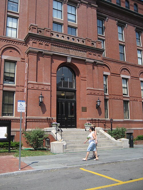
Infrogmation of New Orleans / CC BY 2.5
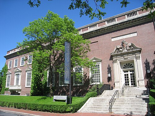
museumPeabody Museum of Archaeology and Ethnology
museum in Cambridge, Massachusetts
Getting there Nearest stop or station Harvard Square, about 10 min on foot OpenStreetMap
 church building
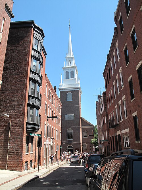
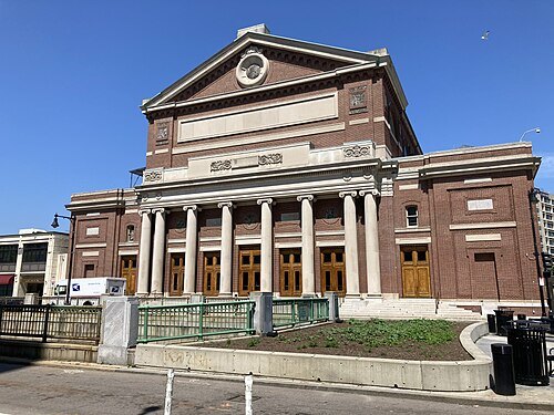
Old North Church
historic church building in Boston, Massachusetts, United States
Getting there Nearest stop or station Water Taxi (Battery Wharf), about 5 min on foot OpenStreetMap
MarkinBoston at English Wikipedia / Public domain
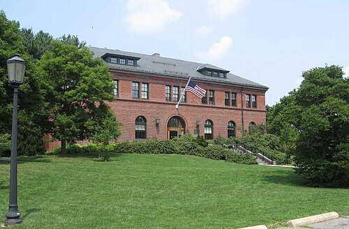
arboretumArnold Arboretum
botanical garden of the Harvard University
Getting there Nearest stop or station Forest Hills, about 13 min on foot OpenStreetMap
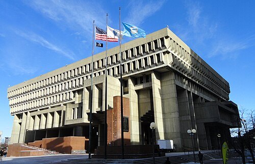 city hall
Boston City Hall
city hall of Boston, Massachusetts since 1969
Getting there Nearest stop or station Government Center, about 2 min on foot OpenStreetMap
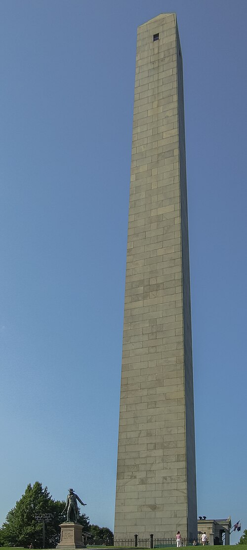 military museum
Bunker Hill Monument
military museum
Getting there Nearest stop or station Charlestown Navy Yard Ferry Terminal, about 12 min on foot OpenStreetMap
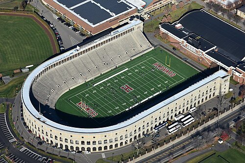 stadium
Harvard Stadium
American football stadium
Getting there Nearest stop or station Harvard Square, about 16 min on foot OpenStreetMap
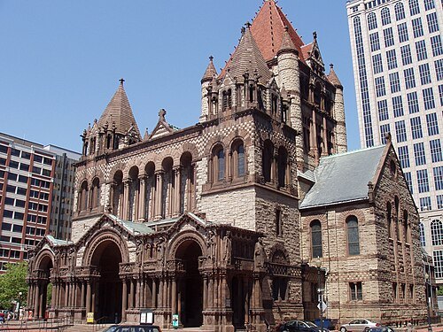
The original uploader was Daderot at English Wikipedia. / CC BY-SA 3.0
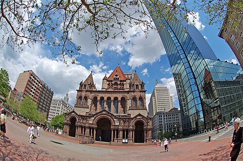
church buildingTrinity Church
church in Boston, Massachusetts
Getting there Nearest stop or station Copley, about 3 min on foot OpenStreetMap

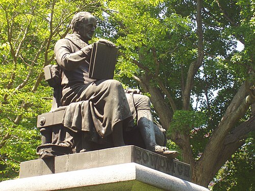
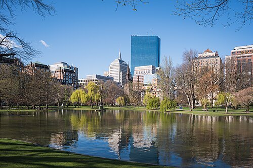
Christian David / CC BY-SA 4.0
botanical gardenBoston Public Garden
botanical garden in Boston, MA
Getting there Nearest stop or station Arlington, about 4 min on foot OpenStreetMap
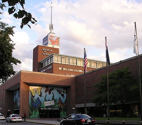 technology museum
Museum of Science
science museum in Boston
Getting there Nearest stop or station Science Park/West End, about 5 min on foot OpenStreetMap
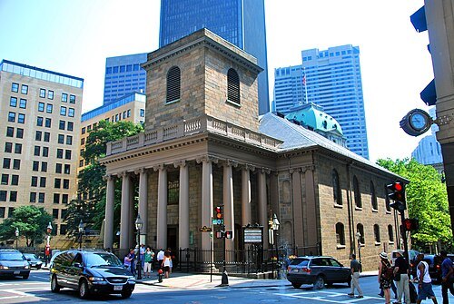
User:Chensiyuan / CC BY-SA 4.0
chapelKing's Chapel
Anglican church in Boston, US
Getting there Nearest stop or station Government Center, about 3 min on foot OpenStreetMap
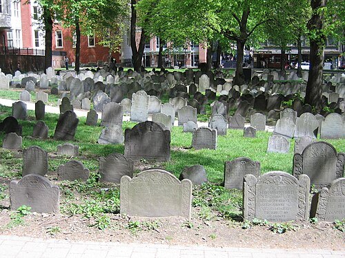
JPizzle1122 at en.wikipedia / Public domain
cemeteryGranary Burying Ground
cemetery in Boston, Massachusetts
Getting there Nearest stop or station Park Street, about 2 min on foot OpenStreetMap
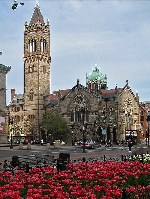
GearedBull Jim Hood / CC BY 2.5
church buildingOld South Church
church
Getting there Nearest stop or station Copley, about 1 min on foot OpenStreetMap
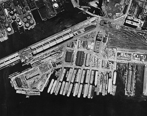
Unknown authorUnknown author / Public domain
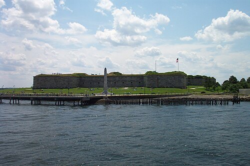
maritime museumBoston Navy Yard
shipbuilding facility in the United States Navy
Getting there Nearest stop or station Charlestown Navy Yard Ferry Terminal, about 6 min on foot OpenStreetMap
 museum
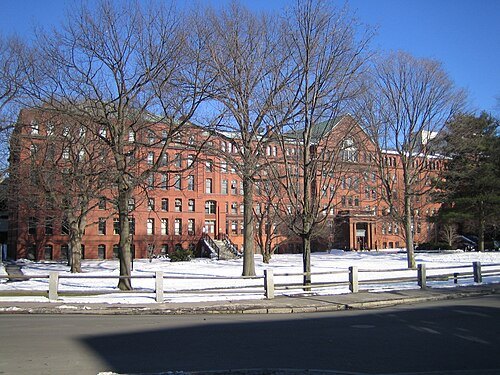
Harvard Museum of Natural History
natural history museum in Massachusetts
Getting there Nearest stop or station Harvard Square, about 10 min on foot OpenStreetMap
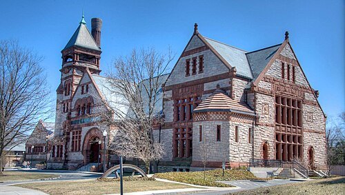 museum
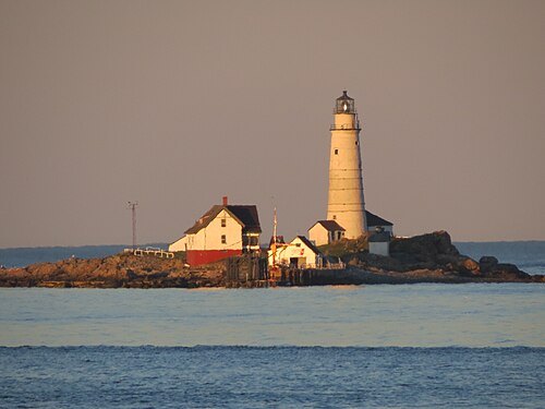
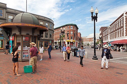
Metropolitan Waterworks Museum
museum in Chestnut Hill, Massachusetts
Getting there Nearest stop or station Reservoir, about 11 min on foot OpenStreetMap
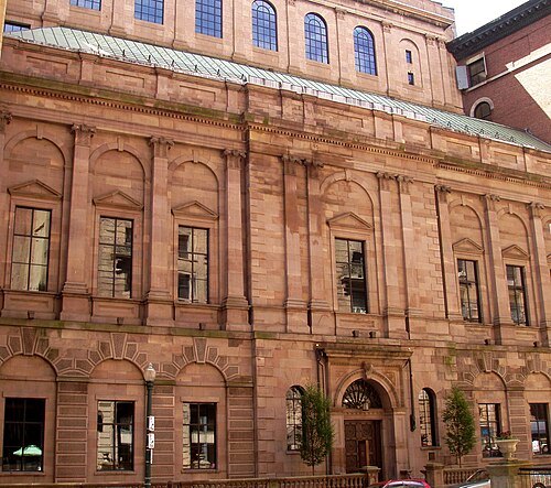 art museum
Boston Athenæum
library in Boston, Massachusetts, United States
Getting there Nearest stop or station Park Street, about 3 min on foot OpenStreetMap
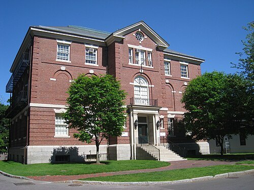
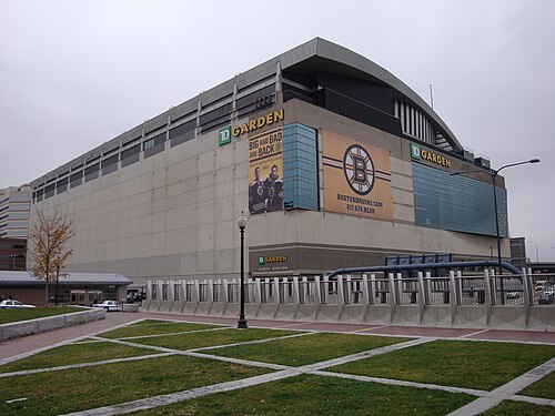
Nywalton at English Wikipedia / Public domain
music venueTD Garden
multi-purpose arena in Boston, Massachusetts, United States
Getting there Nearest stop or station North Station, about 1 min on foot OpenStreetMap
- astronomical observatory
Harvard College Observatory
observatory
Getting there Nearest stop or station Porter, about 17 min on foot OpenStreetMap
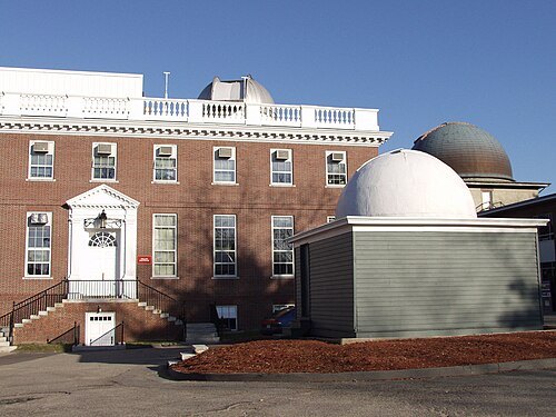
Harvard-Smithsonian Center for Astrophysics / CC BY-SA 3.0
astronomical observatoryHarvard–Smithsonian Center for Astrophysics
astronomical observatory in Massachusetts, United States
Getting there Nearest stop or station Porter, about 17 min on foot OpenStreetMap
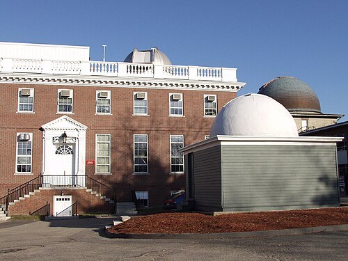
Harvard-Smithsonian Center for Astrophysics / CC BY-SA 3.0
astronomical observatorySmithsonian Astrophysical Observatory
astronomical observatory
Getting there Nearest stop or station Porter, about 17 min on foot OpenStreetMap
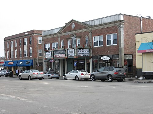 art museum
Museum of Bad Art
museum with branches in Massachusetts, United States and Quebec
Getting there Nearest stop or station Uphams Corner, about 9 min on foot OpenStreetMap
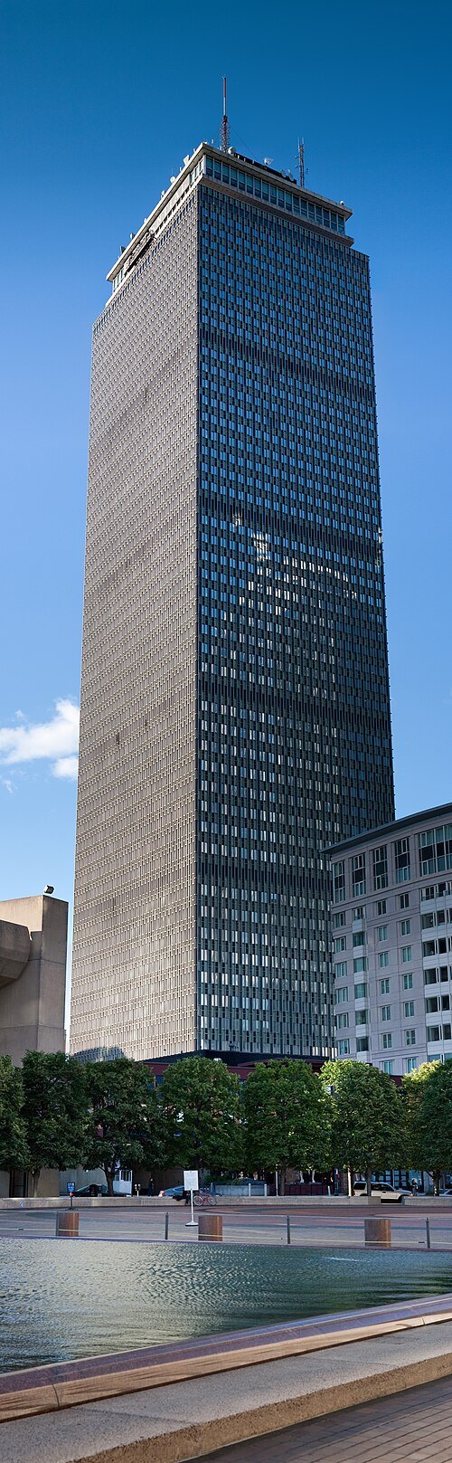
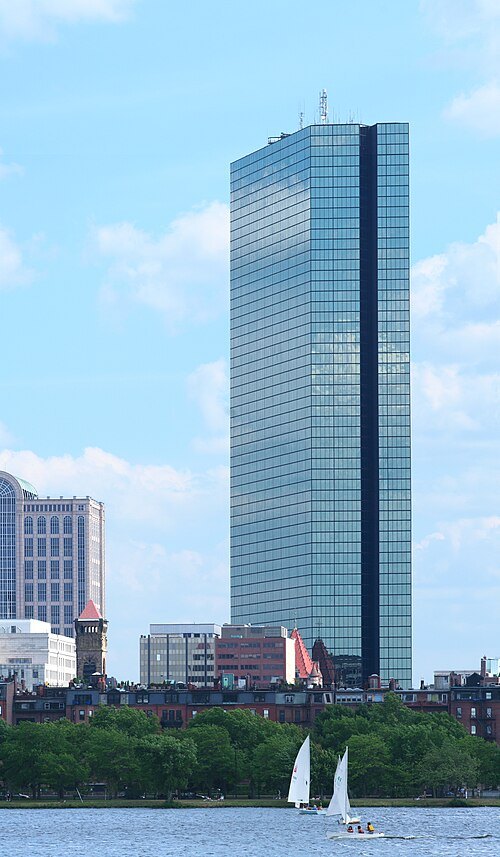 skyscraper
John Hancock Tower
skyscraper in Boston, United States
Getting there Nearest stop or station Back Bay Station, about 3 min on foot OpenStreetMap
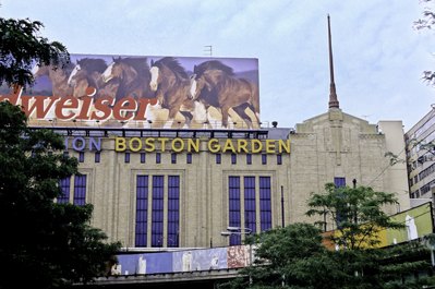
Copyright by Steve Lipofsky Basketballphoto.com / CC BY 3.0
arenaBoston Garden
indoor arena in Boston, Massachusetts, USA between 1928-1997
Getting there Nearest stop or station North Station, about 1 min on foot OpenStreetMap
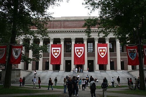
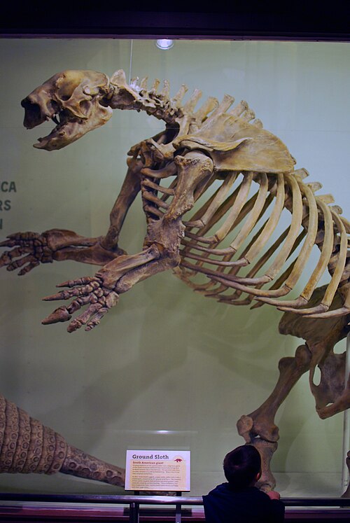 natural history museum
Museum of Comparative Zoology
natural history museum at Harvard University
Getting there Nearest stop or station Harvard Square, about 10 min on foot OpenStreetMap
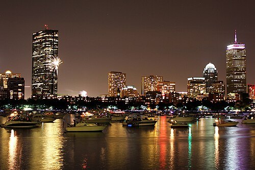
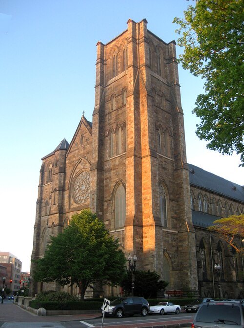
GearedBull Jim Hood / CC BY 2.5
catholic cathedralCathedral of the Holy Cross
main church of the Catholic archdiocese of Boston, United States
Getting there Nearest stop or station Back Bay Station, about 14 min on foot OpenStreetMap
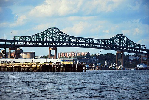
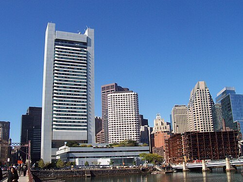 federal reserve bank
Federal Reserve Bank of Boston
branch of the Federal Reserve covering New England
Getting there Nearest stop or station South Station, about 4 min on foot OpenStreetMap
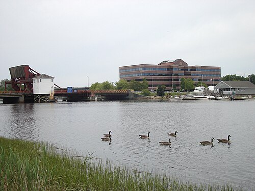
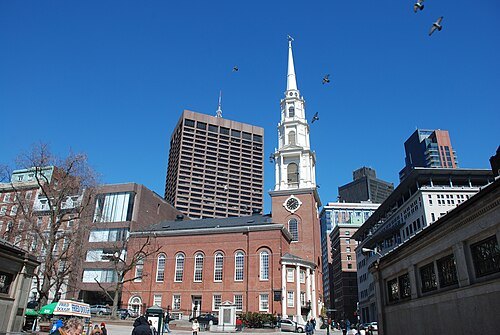
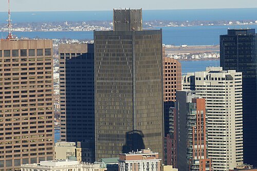
Terageorge~commonswiki / CC BY-SA 4.0
tower blockOne Boston Place
41-story office building in Boston, Massachusetts, United States
Getting there Nearest stop or station State, about 1 min on foot OpenStreetMap
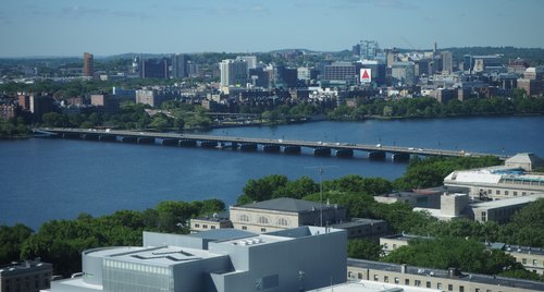 road bridge
Harvard Bridge
bridge over the Charles River near the Massachusetts Institute of Technology
Getting there Nearest stop or station Kendall/MIT, about 13 min on foot OpenStreetMap
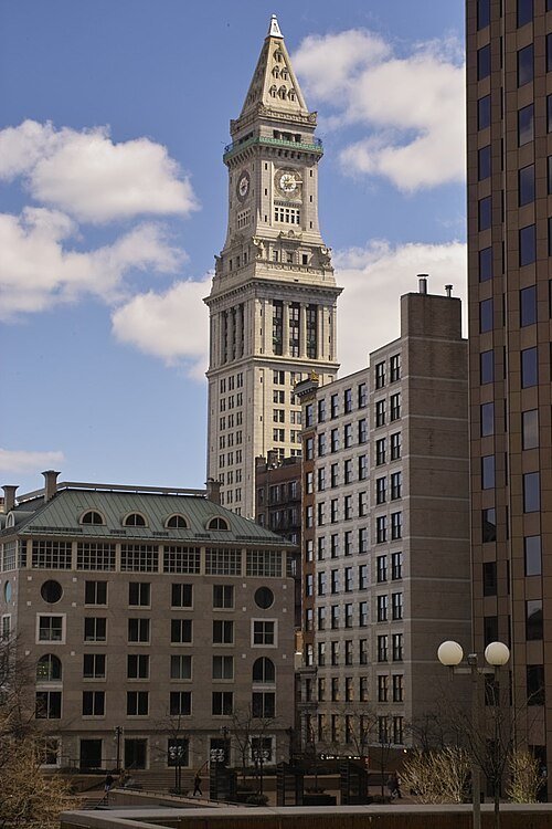 tower block
Custom House Tower
hotel in Boston, Massachusetts
Getting there Nearest stop or station Aquarium, about 2 min on foot OpenStreetMap
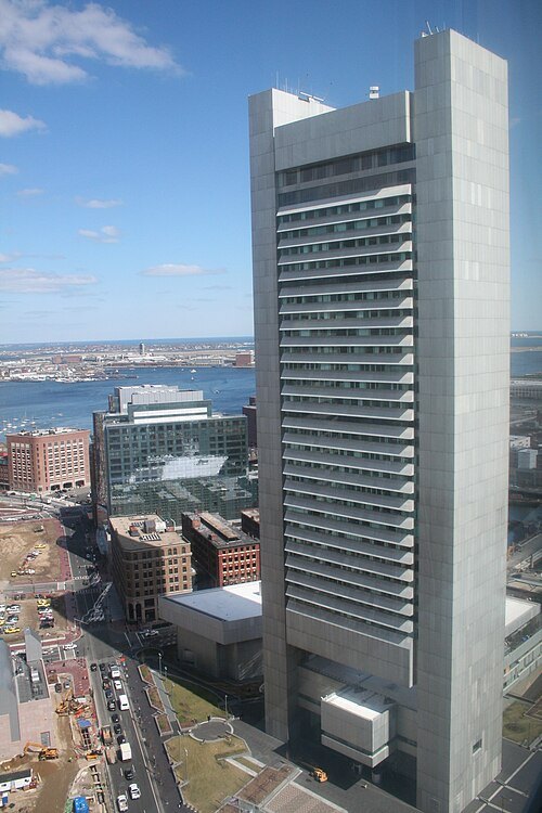
User:Tomtheman5 / CC BY-SA 2.5
tower blockFederal Reserve Bank Building
high-rise office building in Boston, Massachusetts, United States
Getting there Nearest stop or station South Station, about 3 min on foot OpenStreetMap


Places to eat
Nothing here matches that. Clear a filter and try again.
Opening hours and tickets: OpenStreetMap contributors. Each one shows the day a volunteer last wrote it down, so check the official site before you set out.