Baltimore: what to see and where to eat
Everything below comes from open data and each row says where it came from. We have not been to any of these places and we do not rank them.
Filters
Things to see
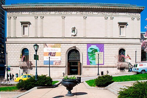 art museum
Walters Art Museum
art museum in Baltimore, Maryland, US
Getting there Nearest stop or station Mount Vernon, about 5 min on foot OpenStreetMap
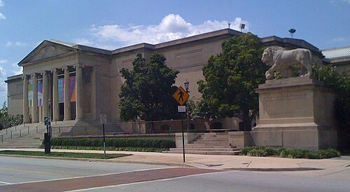
«Marylandstater» «reply» at English Wikipedia. / Public domain
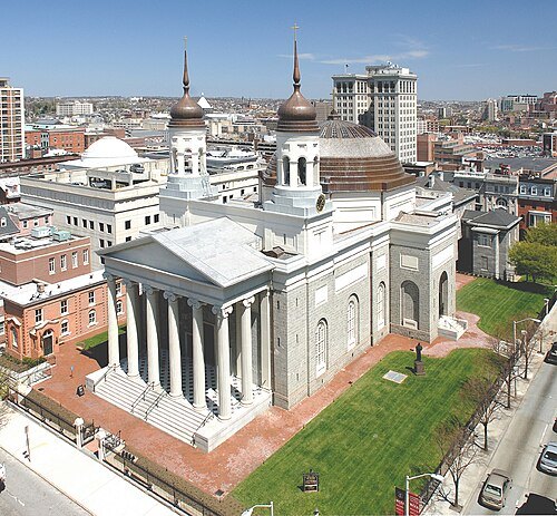
The original uploader was Basilica1 at English Wikipedia. / Public domain
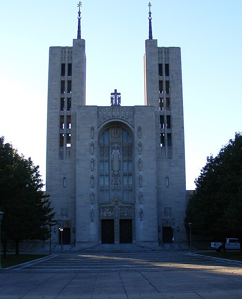
catholic cathedralBasilica of the National Shrine of the Assumption of the Blessed Virgin Mary
church in Maryland, United States
Getting there Nearest stop or station Lexington Market, about 6 min on foot OpenStreetMap
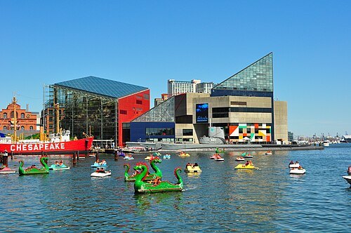
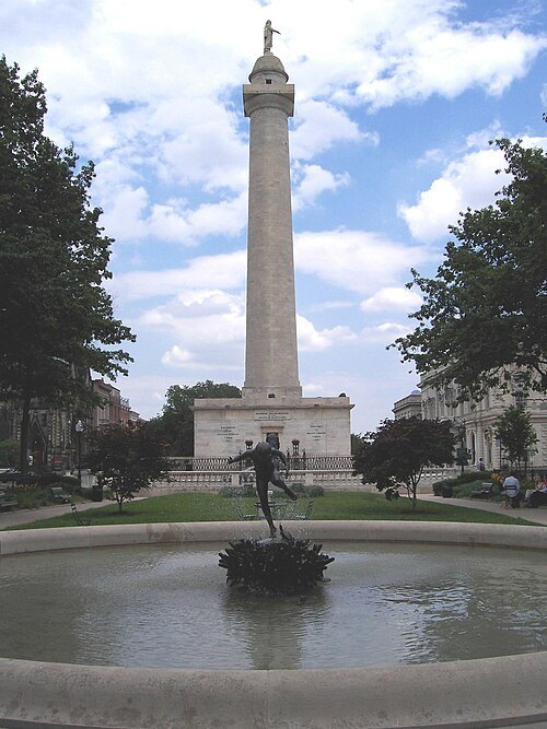 monument
Washington Monument
artwork by Enrico Causici and Robert Mills in Baltimore, United States
Getting there Nearest stop or station Mount Vernon, about 6 min on foot OpenStreetMap
- zoo
The Maryland Zoo
zoo in the United States
Getting there Nearest stop or station Mondawmin Metro Station, about 10 min on foot OpenStreetMap
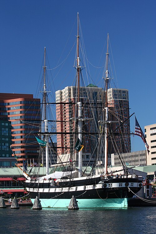
350z33 at en.wikipedia / CC BY-SA 3.0
preserved watercraftUSS Constellation
last sail-only warship designed and built by the United States Navy
Getting there Nearest stop or station Inner Harbor–Harborplace, about 1 min on foot OpenStreetMap
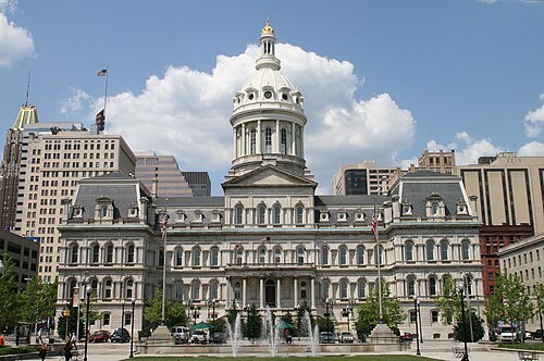
Marylandstater / Public domain
city hallBaltimore City Hall
official seat of government of Baltimore, Maryland, United States
Getting there Nearest stop or station Shot Tower/Market Place, about 7 min on foot OpenStreetMap
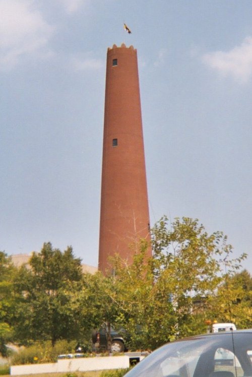 shot tower
Phoenix Shot Tower
shot tower in Baltimore, Maryland
Getting there Nearest stop or station Shot Tower/Market Place, about 1 min on foot OpenStreetMap
- preserved watercraft
SS John W. Brown
preserved Liberty ship home ported in Baltimore, Maryland, USA
Getting there Nearest stop or station Fort McHenry, about 11 min on foot OpenStreetMap
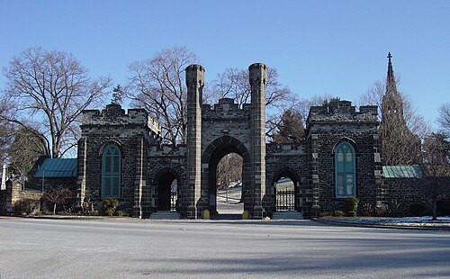 rural cemetery
Green Mount Cemetery
cemetery in Baltimore, Maryland, United States
Getting there Nearest stop or station Baltimore Penn Station, about 11 min on foot OpenStreetMap
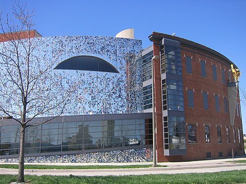
Jmj1000 (talk) (Uploads) / Public domain
art museumAmerican Visionary Art Museum
art museum in Maryland, USA
Getting there Nearest stop or station Federal Hill, about 3 min on foot OpenStreetMap
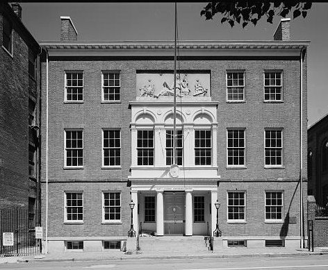
Unknown authorUnknown author / Public domain
museum buildingPeale Museum
museum in Baltimore, Maryland, USA
Getting there Nearest stop or station Shot Tower/Market Place, about 7 min on foot OpenStreetMap
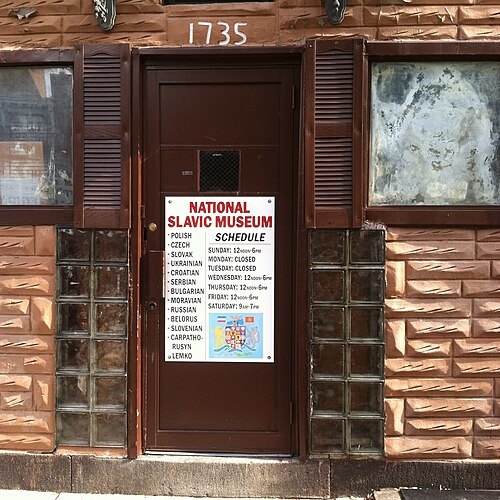
Bohemian Baltimore / CC BY-SA 4.0
museumNational Slavic Museum
ethnic museum in Fleet Street Baltimore, Maryland
Getting there Nearest stop or station Fell's Point, about 5 min on foot OpenStreetMap
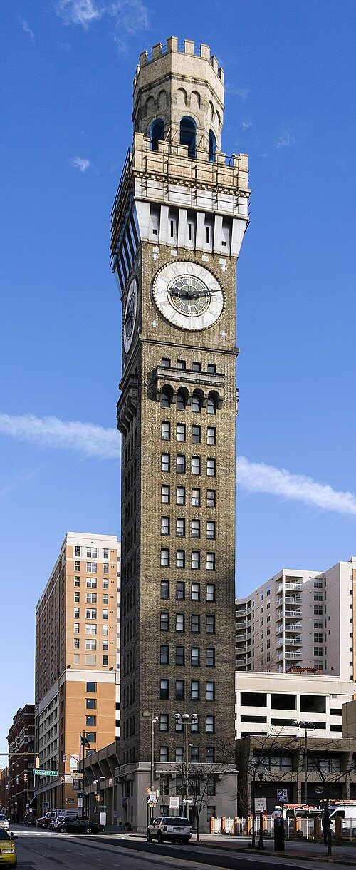 clock tower
Emerson Bromo-Seltzer Tower
Tall American building in Baltimore, Maryland, US
Getting there Nearest stop or station Baltimore Arena, about 3 min on foot OpenStreetMap
- mansion
Hampton National Historic Site
U.S. National Historic Site in Baltimore County, Maryland; once possibly the largest private home in the U.S. by 1790
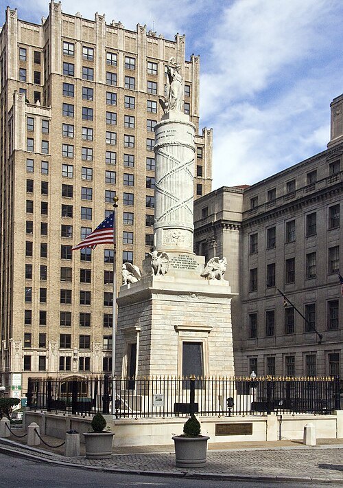 monument
Battle Monument
monument in Baltimore, Maryland, USA
Getting there Nearest stop or station Charles Center, about 5 min on foot OpenStreetMap
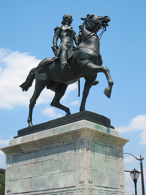 sculpture
Lafayette Monument
artwork by Andrew O'Connor
Getting there Nearest stop or station Mount Vernon, about 6 min on foot OpenStreetMap
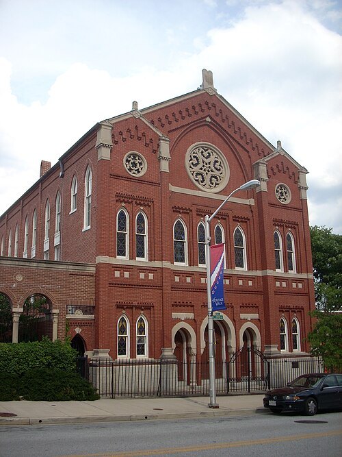 synagogue
Chizuk Amuno Synagogue
synagogue in Maryland, United States of America
Getting there Nearest stop or station Shot Tower/Market Place, about 6 min on foot OpenStreetMap
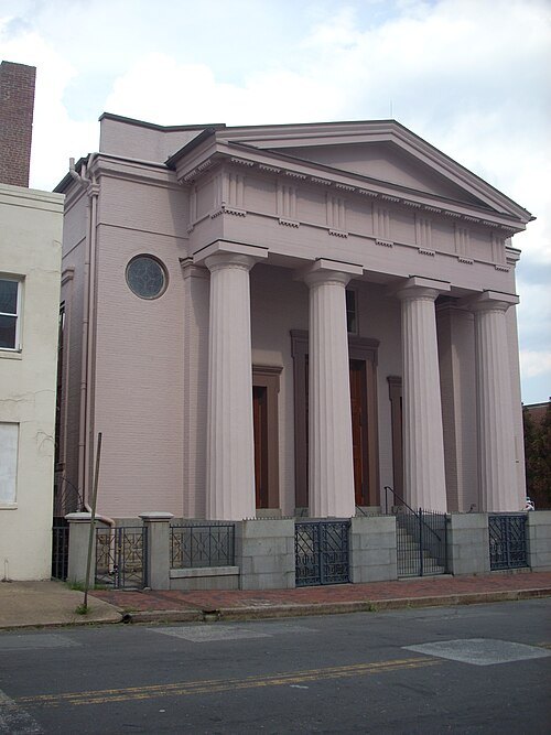 museum
Lloyd Street Synagogue
historical former Reform synagogue in Baltimore, Maryland, United States
Getting there Nearest stop or station Shot Tower/Market Place, about 6 min on foot OpenStreetMap
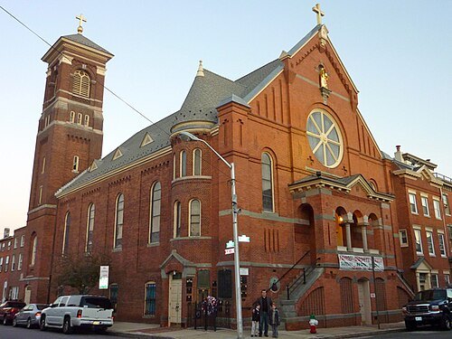 church building
St. Leo's Church
church building in Maryland, United States of America
Getting there Nearest stop or station Shot Tower/Market Place, about 8 min on foot OpenStreetMap
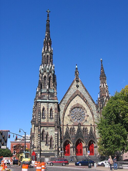
Eli Pousson from Washington, DC, USA / CC BY-SA 2.0
church buildingMount Vernon Place United Methodist Church and Asbury House
historic United Methodist church in Baltimore, Maryland, United States
- historic district
Dickeyville Historic District
historic district coincident with the neighborhood of Dickeyville, Baltimore, Maryland
Getting there Nearest stop or station Hamilton Station, about 14 min on foot OpenStreetMap
- museum building
B&O Railroad Museum
museum exhibiting historic railroad equipment in Baltimore, United States
Getting there Nearest stop or station Camden Station, about 17 min on foot OpenStreetMap
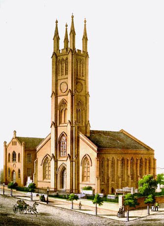
"E. Sachse & Co." / Public domain
cemeteryWestminster Hall and Burying Ground
graveyard and former church in Baltimore, Maryland
Getting there Nearest stop or station Lexington Market, about 5 min on foot OpenStreetMap
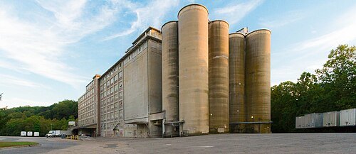
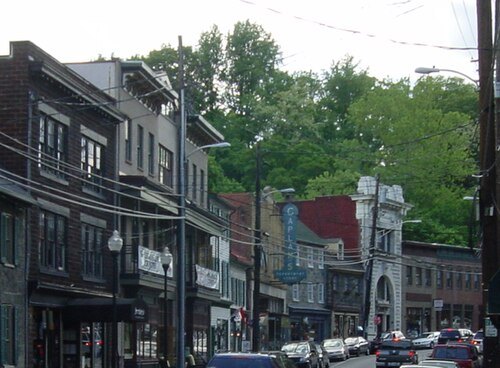
The original uploader was DJBr at English Wikipedia. / Public domain
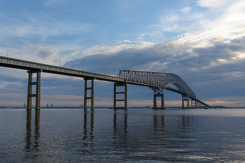
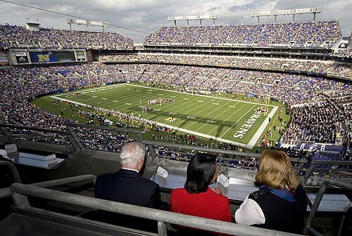
United States Department of Defense Cherie Cullen / Public domain
stadiumM&T Bank Stadium
home venue of the Baltimore Ravens
Getting there Nearest stop or station Stadium / Federal Hill, about 4 min on foot OpenStreetMap
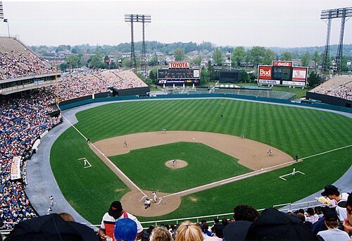
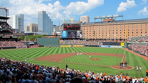 stadium
Oriole Park at Camden Yards
baseball stadium in Baltimore, Maryland
Getting there Nearest stop or station Camden Station, about 3 min on foot OpenStreetMap
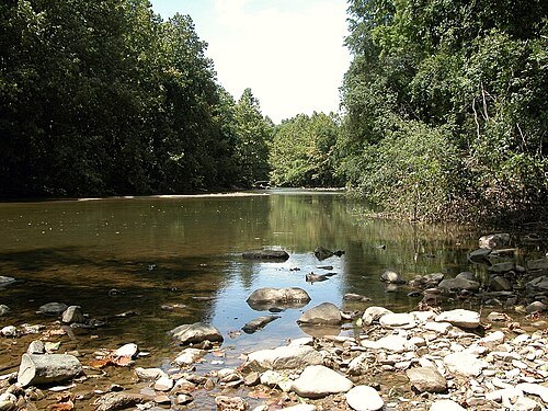
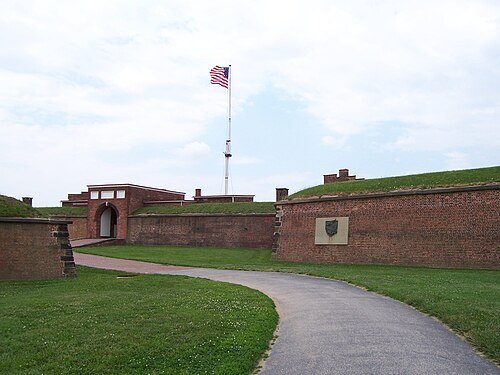
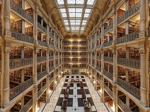
Matthew Petroff / CC BY-SA 3.0
library buildingGeorge Peabody Library
Research library in Baltimore, Maryland, US
Getting there Nearest stop or station Mount Vernon, about 7 min on foot OpenStreetMap
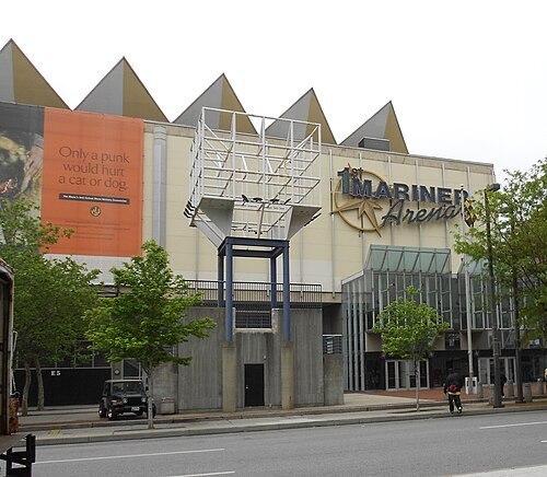 arena
CFG Bank Arena
arena located in Baltimore, Maryland
Getting there Nearest stop or station Baltimore Arena, about 1 min on foot OpenStreetMap
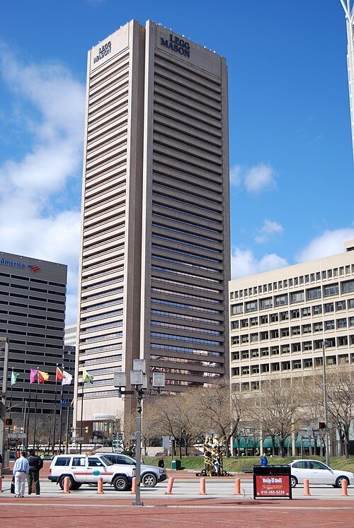
Wallstreethotrod (talk) / Public domain
skyscraper100 Light Street
skyscraper in Baltimore, Maryland, United States
Getting there Nearest stop or station Inner Harbor–Harborplace, about 4 min on foot OpenStreetMap
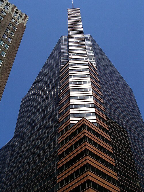
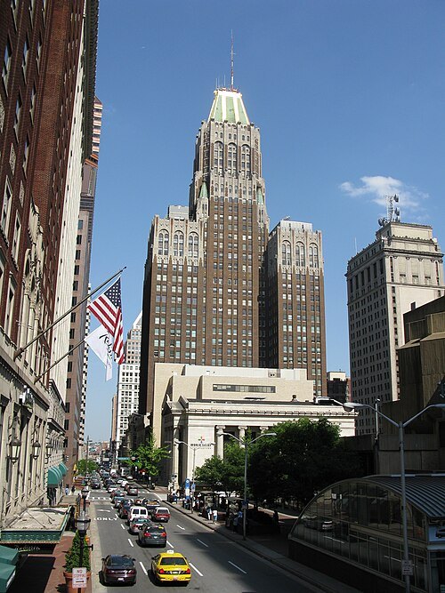 skyscraper
Bank of America Building
skyscraper in Baltimore, Maryland
Getting there Nearest stop or station Charles Center, about 3 min on foot OpenStreetMap
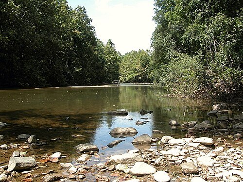
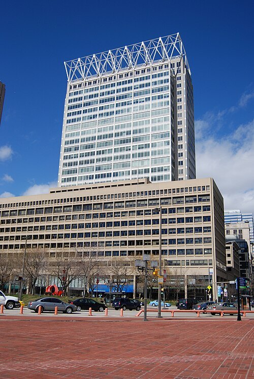
Amin Eshaker from Dunmovin, CA, U.S.A. / CC BY-SA 2.0
skyscraperWilliam Donald Schaefer Building
building in Maryland, US
Getting there Nearest stop or station Charles Center, about 3 min on foot OpenStreetMap
Wallstreethotrod (talk) / Public domain
tower block100 East Pratt Street
office building in Baltimore
Getting there Nearest stop or station Inner Harbor–Harborplace, about 2 min on foot OpenStreetMap
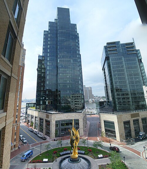 sculpture
National Katyń Memorial
Baltimore, Maryland, dedicated to the victims of the Katyn massacre
Getting there Nearest stop or station Harbor East, about 2 min on foot OpenStreetMap
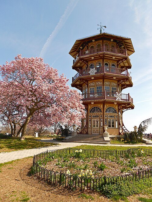 botanical garden
Patterson Park
urban park in Baltimore, Maryland, United States
Getting there Nearest stop or station Canton Park, about 20 min on foot OpenStreetMap
- mosque
Islamic Society of Baltimore
Muslim mosque and religious community center in Baltimore County, Maryland
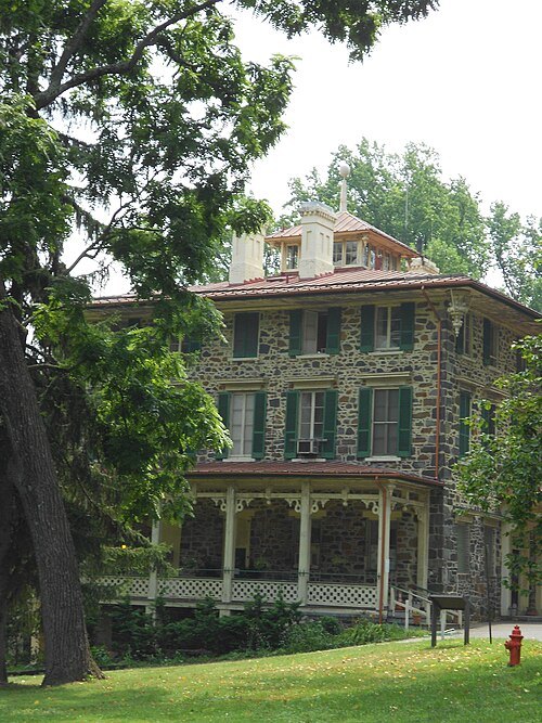 urban park
Gwynns Falls/Leakin Park
urban park and statistical area in Baltimore, Maryland, United States
Getting there Nearest stop or station Hamilton Station, about 17 min on foot OpenStreetMap
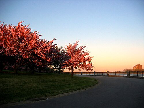
Lester Spence from Baltimore, USA / CC BY 2.0
urban parkDruid Hill Park
public urban park in Baltimore, Maryland, United States
Getting there Nearest stop or station Woodberry, about 11 min on foot OpenStreetMap
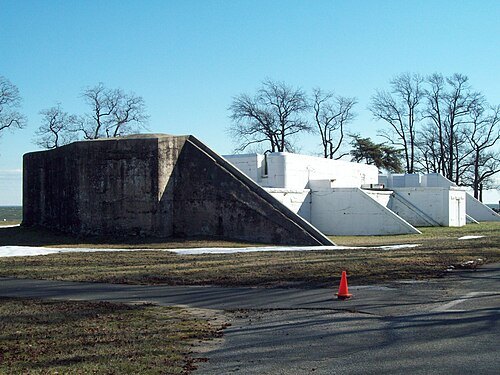
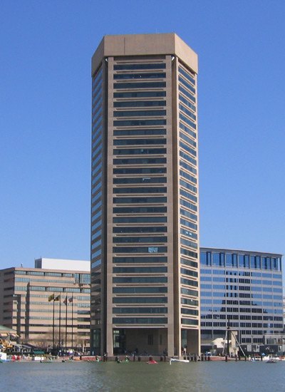
Jmj1000 at en.wikipedia / Public domain
tower blockBaltimore World Trade Center
American skyscraper in Baltimore
Getting there Nearest stop or station National Aquarium, about 1 min on foot OpenStreetMap
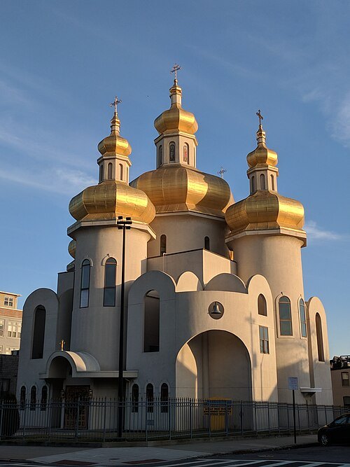
Bohemian Baltimore / CC BY-SA 4.0
catholic church buildingSt. Michael the Archangel Ukrainian Catholic Church
church building in Maryland, United States of America
Getting there Nearest stop or station Fell's Point, about 15 min on foot OpenStreetMap
- square
Lafayette Square
public square in Baltimore, Maryland
Getting there Nearest stop or station Upton, about 10 min on foot OpenStreetMap
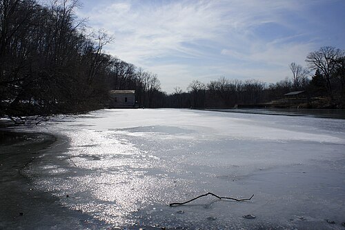 park
Lake Roland Park
park in Baltimore County, Maryland, United States
Getting there Nearest stop or station Falls Road, about 18 min on foot OpenStreetMap
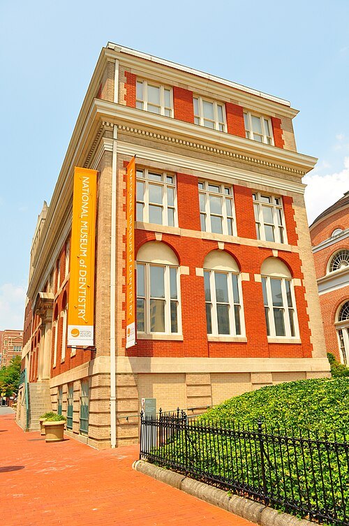 dental museum
National Museum of Dentistry
museum in the United States of America
Getting there Nearest stop or station Baltimore Arena, about 5 min on foot OpenStreetMap
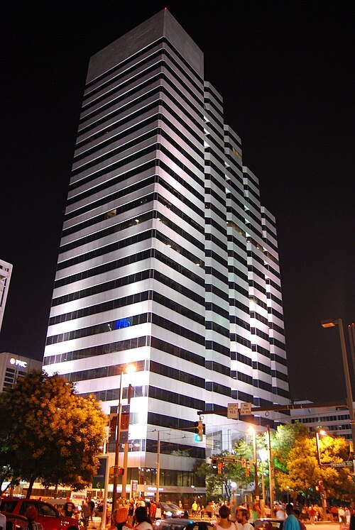
Wallstreethotrod (talk) / Public domain
tower block250 West Pratt Street
office/Business in Maryland, United States
Getting there Nearest stop or station Convention Center, about 2 min on foot OpenStreetMap
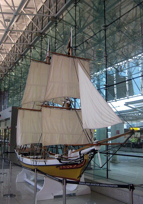 preserved watercraft
Maryland Federalist
replica ship built in 1987
Getting there Nearest stop or station BWI Airport, about 5 min on foot OpenStreetMap


Places to eat
Nothing here matches that. Clear a filter and try again.
Opening hours and tickets: OpenStreetMap contributors. Each one shows the day a volunteer last wrote it down, so check the official site before you set out.