Pattaya: what to see and where to eat
Everything below comes from open data and each row says where it came from. We have not been to any of these places and we do not rank them.
Filters
Things to see
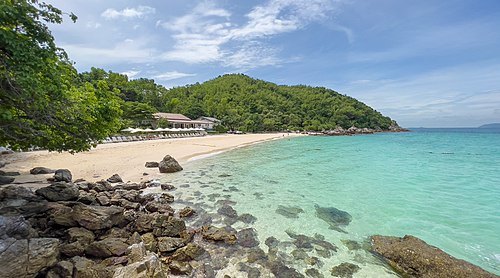
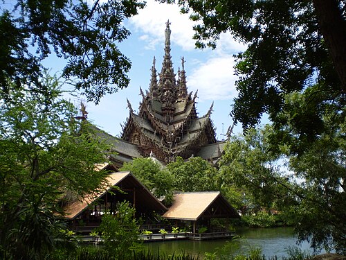
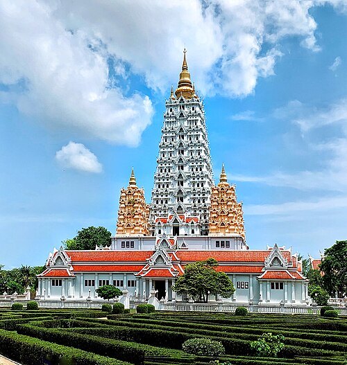
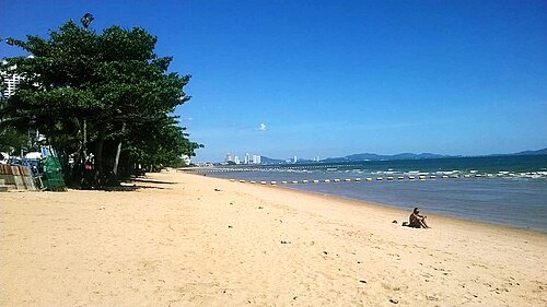
- water park
Ramayana Water Park
 sports venue
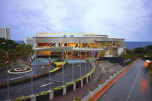
Pattaya Exhibition and Convention Hall
architectural structure
Getting there Nearest stop or station Pattaya Bali Hai Pier, about 12 min on foot OpenStreetMap
- proposed tower
Ocean 1 Tower
building in Pattaya
Getting there Nearest stop or station Minibus to Bangkok, about 5 min on foot OpenStreetMap
 island
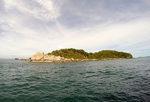
Ko Sak
island in Thailand
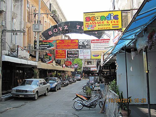 street
Boyztown
gay and underage red-light district in Pattaya, Thailand
Getting there Nearest stop or station Bahtbusses to Dolphin Circle/Naklua, about 2 min on foot OpenStreetMap
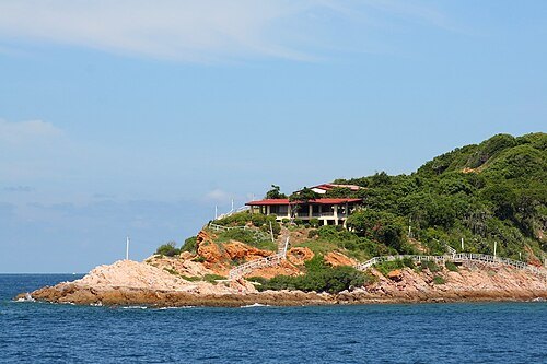 island
Ko Khrok
island in Thailand
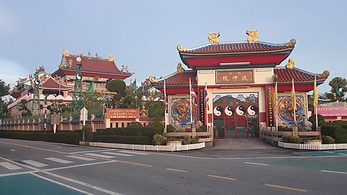
- venue
Sunee Plaza
area of Pattaya, Thailand
Getting there Nearest stop or station Bahtbusses to Jomtien, about 7 min on foot OpenStreetMap
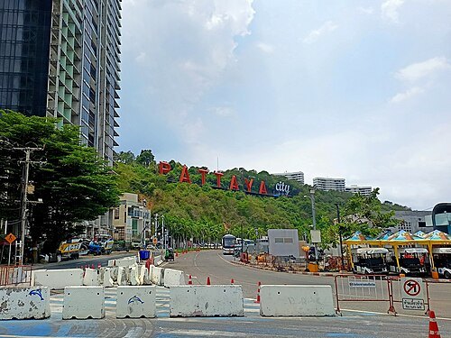 hill
Phra Tamnak Hill
Hill in Thailand
Getting there Nearest stop or station Jomtien Beach, about 20 min on foot OpenStreetMap


Places to eat
Nothing here matches that. Clear a filter and try again.
Opening hours and tickets: OpenStreetMap contributors. Each one shows the day a volunteer last wrote it down, so check the official site before you set out.