Bangkok: what to see and where to eat
Everything below comes from open data and each row says where it came from. We have not been to any of these places and we do not rank them.
Filters
Things to see
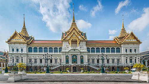 royal palace
Grand Palace
official residence of the King of Thailand since 1782
Getting there Nearest stop or station Wat Pho, about 11 min on foot OpenStreetMap
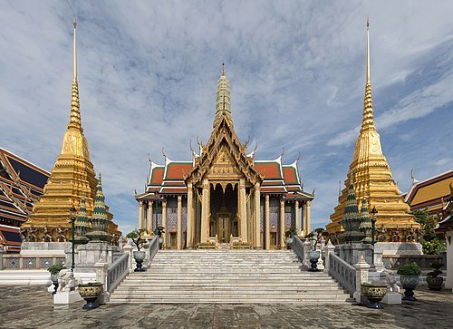 wat
Wat Phra Kaew
Royal temple complex in Bangkok, Thailand
Getting there Nearest stop or station Sanam Chai, about 13 min on foot OpenStreetMap
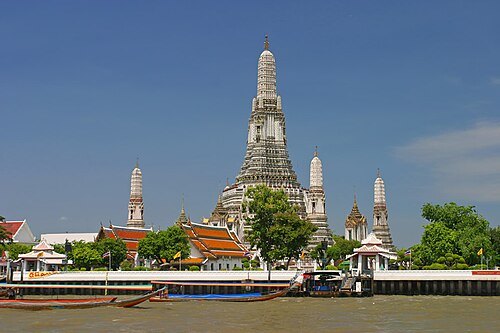 wat
Wat Arun
Buddhist temple in central Bangkok, Thailand
Getting there Nearest stop or station Wat Pho, about 4 min on foot OpenStreetMap
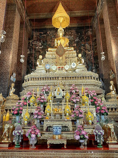
Muhammad Fridho Damora Harahap / CC BY-SA 4.0
watWat Pho
Buddhist temple in central Bangkok, Thailand
Getting there Nearest stop or station Sanam Chai, about 4 min on foot OpenStreetMap
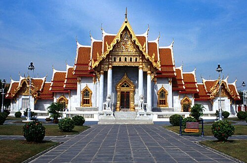
The original uploader was NamKhaeng at French Wikipedia. / CC BY-SA 3.0
watWat Benchamabophit
Buddhist temple in Bangkok, Thailand
Getting there Nearest stop or station ยมราช, about 18 min on foot OpenStreetMap
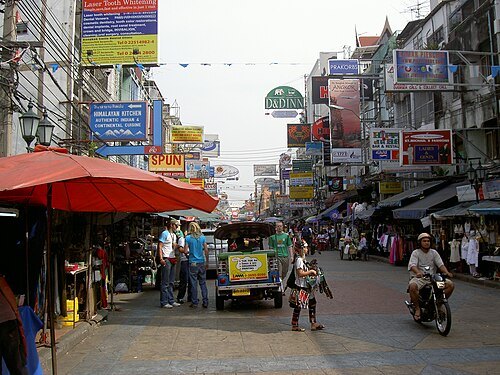 street
Khaosan Road
road in Bangkok, Thailand
Getting there Nearest stop or station Kllong Banglamphu (not operated), about 7 min on foot OpenStreetMap
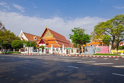 museum
Bangkok National Museum
museum in Bangkok, Thailand
Getting there Nearest stop or station สนามหลวง, about 3 min on foot OpenStreetMap
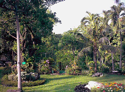 park
Lumphini Park
public park in Bangkok
Getting there Nearest stop or station Si Lom, about 8 min on foot OpenStreetMap
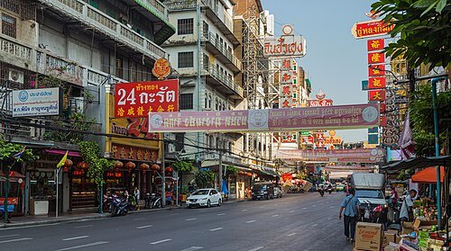 street
Yaowarat Road
road in Bangkok
Getting there Nearest stop or station Wat Mangkon, about 7 min on foot OpenStreetMap
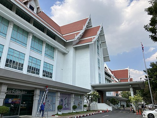 national library
National Library of Thailand
National library
Getting there Nearest stop or station Kllong Banglamphu (not operated), about 20 min on foot OpenStreetMap
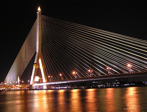
Stygiangloom on Flickr / CC BY 2.0
road bridgeRama VIII Bridge
bridge in Thailand
Getting there Nearest stop or station Phra Sumen Fort, about 9 min on foot OpenStreetMap
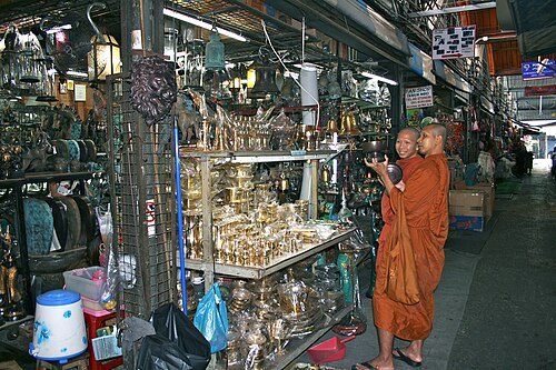
Ian Gratton from Sutton-n-Craven, North Yorkshire, England / CC BY 2.0
flea marketChatuchak Weekend Market
largest market in Thailand
Getting there Nearest stop or station Chatuchak Park, about 5 min on foot OpenStreetMap
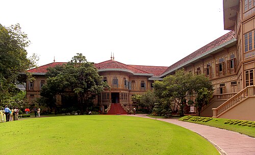
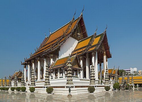 wat
Wat Suthat
Buddhist temple in Bangkok, Thailand
Getting there Nearest stop or station Sam Yot, about 7 min on foot OpenStreetMap
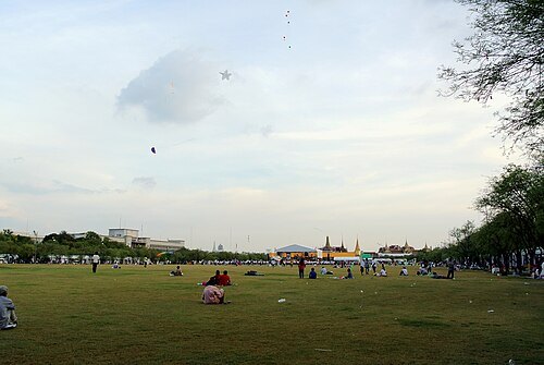 square
Sanam Luang
square in Bangkok, Thailand
Getting there Nearest stop or station สนามหลวง, about 8 min on foot OpenStreetMap
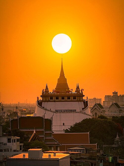
Kriengsak Jirasirirojanakorn / CC BY-SA 4.0
watWat Saket
Buddhist temple in Bangkok, Thailand
Getting there Nearest stop or station Democracy Monument, about 7 min on foot OpenStreetMap
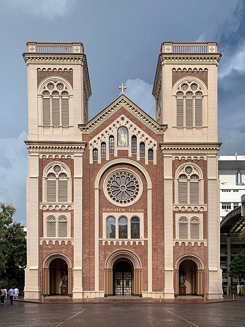 cathedral
Assumption Cathedral
principal Roman Catholic church of Thailand
Getting there Nearest stop or station Saphan Taksin, about 8 min on foot OpenStreetMap
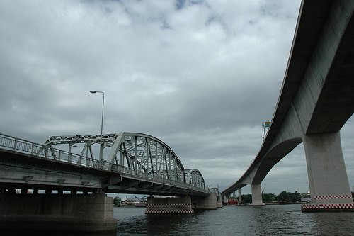 road bridge
Krungthep Bridge
bascule bridge in Bangkok, Thailand
Getting there Nearest stop or station Siam Charoen Nakhon Pier, about 2 min on foot OpenStreetMap
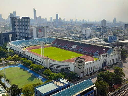
Rangan Datta Wiki / CC BY-SA 4.0
stadiumSuphachalasai Stadium
stadium in Bangkok
Getting there Nearest stop or station National Stadium, about 6 min on foot OpenStreetMap
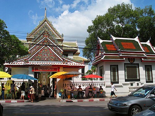
Fotograf / Photographer: Heinrich Damm (User:Hdamm, Hdamm at de.wikipedia.org) / CC BY 2.0
watWat Bowonniwet Vihara
Buddhist temple in Bangkok, Thailand
Getting there Nearest stop or station Kllong Banglamphu (not operated), about 5 min on foot OpenStreetMap
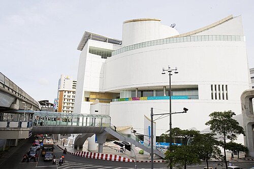 cultural center
Bangkok Art and Culture Centre
art museum and cultural center in Bangkok
Getting there Nearest stop or station National Stadium, about 2 min on foot OpenStreetMap
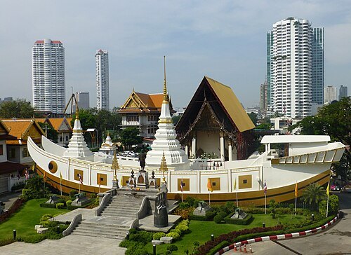
Photo Dharma from Penang, Malaysia / CC BY 2.0
watWat Yan Nawa
Buddhist temple in Bangkok, Thailand
Getting there Nearest stop or station Saphan Taksin, about 3 min on foot OpenStreetMap
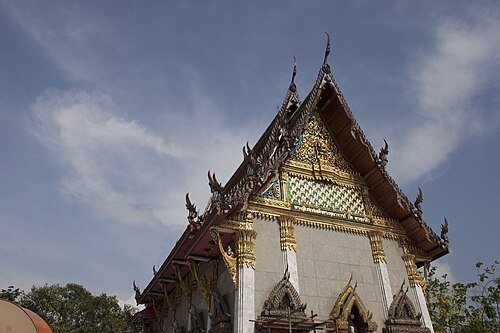 wat
Wat Intharawihan
Buddhist temple in Bangkok, Thailand
Getting there Nearest stop or station Kllong Banglamphu (not operated), about 10 min on foot OpenStreetMap
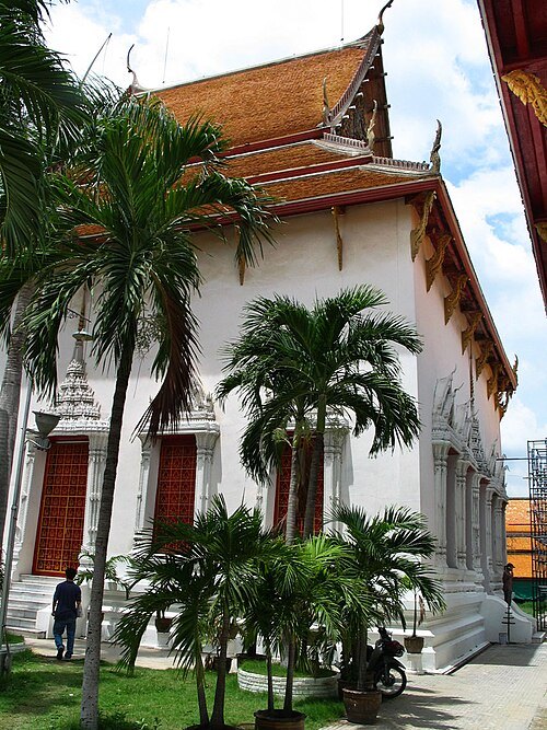
Heinrich Damm (User:Hdamm, Hdamm at de.wikipedia.org) / CC BY 2.0
watWat Mahathat Yuwaratrangsarit
Buddhist temple in Bangkok, Thailand
Getting there Nearest stop or station สนามหลวง, about 9 min on foot OpenStreetMap
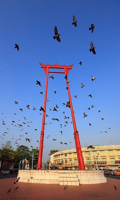 architectural landmark
Sao Chingcha
landmark in Phra Nakhon district, Bangkok, Thailand
Getting there Nearest stop or station Sam Yot, about 9 min on foot OpenStreetMap
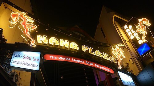
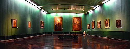
Mr.Sayompoo Setabhrahmana / CC BY-SA 4.0
national museumNational Art Gallery
art gallery in Bangkok, Thailand
Getting there Nearest stop or station สนามหลวง, about 2 min on foot OpenStreetMap
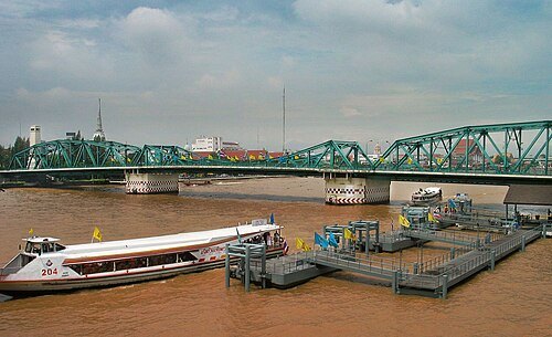
Heinrich Damm (User:Hdamm, Hdamm at de.wikipedia.org) / CC BY 2.0
steel bridgeMemorial Bridge
bridge crossing Chao Phraya River, Thailand
Getting there Nearest stop or station Sanam Chai, about 11 min on foot OpenStreetMap
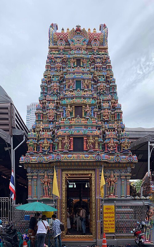 hindu temple
Sri Maha Mariamman Temple, Bangkok
Amman Temple in Bangkok, Thailand
Getting there Nearest stop or station Saint Louis, about 9 min on foot OpenStreetMap
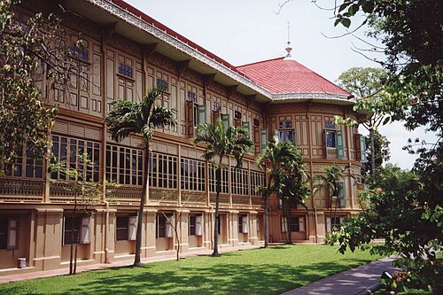
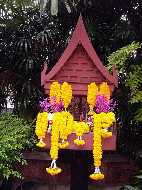 museum
Jim Thompson House
museum in Bangkok
Getting there Nearest stop or station National Stadium, about 5 min on foot OpenStreetMap
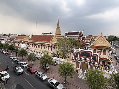 wat
Wat Ratchabophit
Buddhist temple in Phra Nakhon district, Bangkok, Thailand
Getting there Nearest stop or station Sam Yot, about 9 min on foot OpenStreetMap
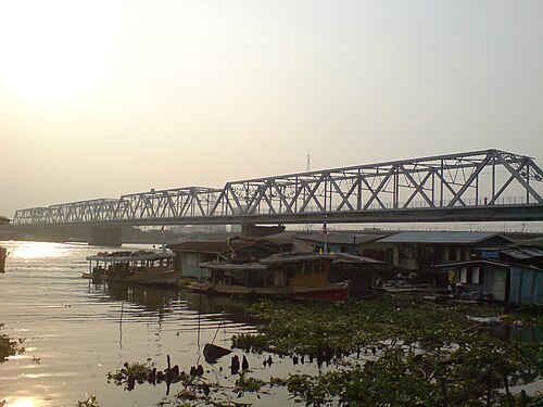 railway bridge
Rama VI Bridge
bridge
Getting there Nearest stop or station Wat Soi Thong, about 4 min on foot OpenStreetMap
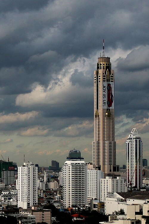 tower block
Baiyoke Tower II
tower block
Getting there Nearest stop or station Ratchaprarop, about 2 min on foot OpenStreetMap
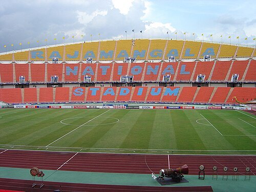 multi-purpose stadium
Rajamangala Stadium
football stadium in Thailand
Getting there Nearest stop or station ม.รามคำแหง, about 10 min on foot OpenStreetMap
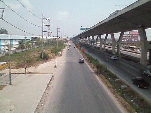
Miniwildebeest at English Wikipedia (Original text: Miniwildebeest (talk)) / Public domain
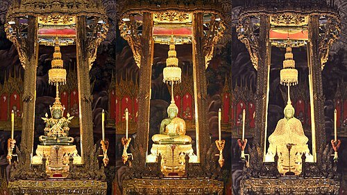 sculpture
Emerald Buddha
Statue considered the Palladium of Thailand
Getting there Nearest stop or station Sanam Chai, about 13 min on foot OpenStreetMap
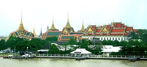 island
Rattanakosin Island
island in Bangkok, Thailand
Getting there Nearest stop or station Wat Pho, about 9 min on foot OpenStreetMap
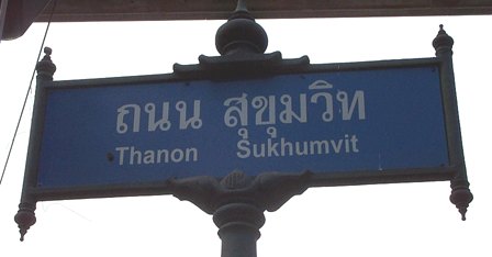
No machine-readable author provided. Waerth assumed (based on copyright claims). / Public domain
streetSukhumvit Road
major road in Thailand
Getting there Nearest stop or station Phloen Chit, about 2 min on foot OpenStreetMap
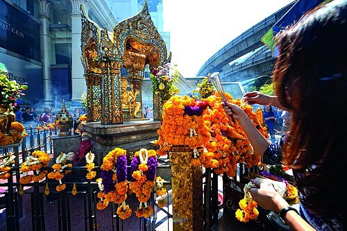
Mr.Peerapong Prasutr / CC BY-SA 4.0
hindu templeErawan Shrine
shrine Dedicated to Brahma in Bangkok
Getting there Nearest stop or station Chit Lom, about 4 min on foot OpenStreetMap
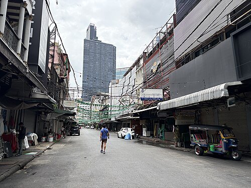 street
Thanon Patpong
street in Bangkok, Thailand
Getting there Nearest stop or station Sala Daeng, about 2 min on foot OpenStreetMap
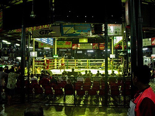
Mark Rauterkus on Picasa Web Albums / CC BY 3.0
stadiumLumpinee Boxing Stadium
stadium in Bangkok, Thailand
Getting there Nearest stop or station Lumphini, about 3 min on foot OpenStreetMap
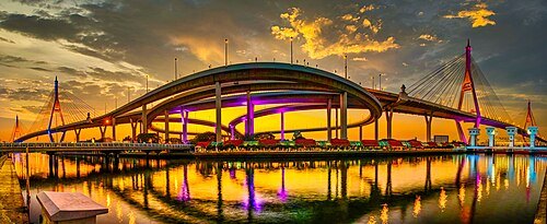
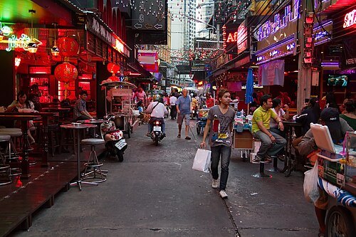
JJ Harrison (https://www.jjharrison.com.au/) / CC BY-SA 3.0
streetSoi Cowboy
street in Bangkok, Thailand
Getting there Nearest stop or station Sukhumvit, about 2 min on foot OpenStreetMap
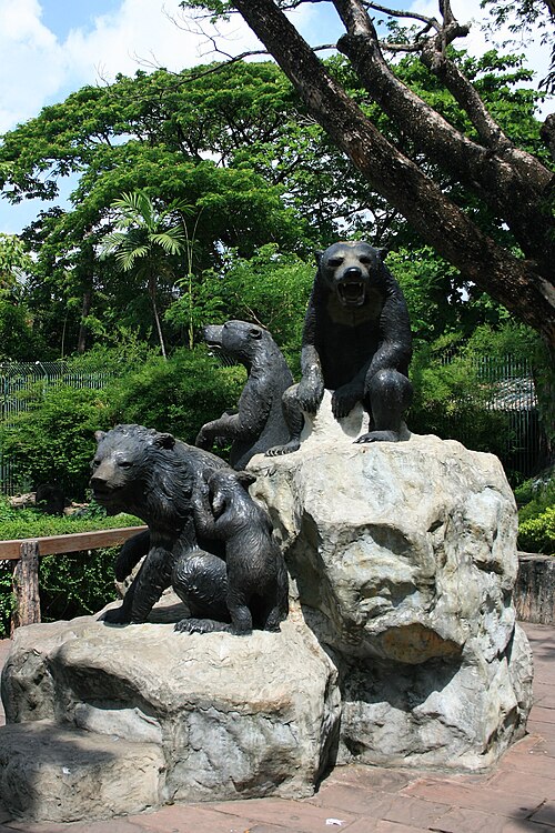 zoo
Dusit Zoo
former zoo in Bangkok, Thailand
Getting there Nearest stop or station Ramathibodi Hospital, about 17 min on foot OpenStreetMap
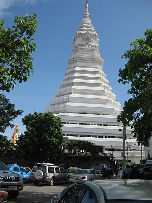 wat
Wat Paknam Phasi Charoen
Buddhist temple in Bangkok, Thailand
Getting there Nearest stop or station Bang Phai, about 10 min on foot OpenStreetMap
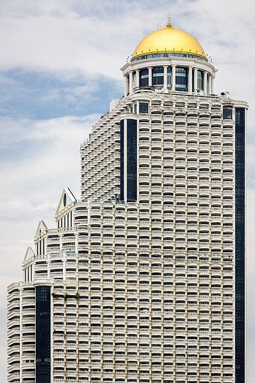 tower block
State Tower
Skyscrapers in Bangkok
Getting there Nearest stop or station Saphan Taksin, about 7 min on foot OpenStreetMap
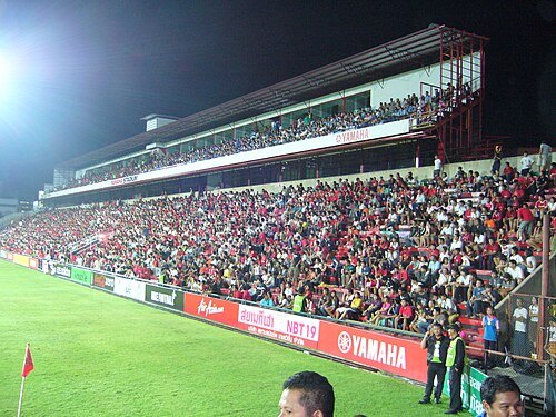
www.thai-fussball.com / CC BY 3.0
association football venueThunderdome Stadium
football stadium in Thailand
Getting there Nearest stop or station Lake Muang Thong Thani, about 3 min on foot OpenStreetMap
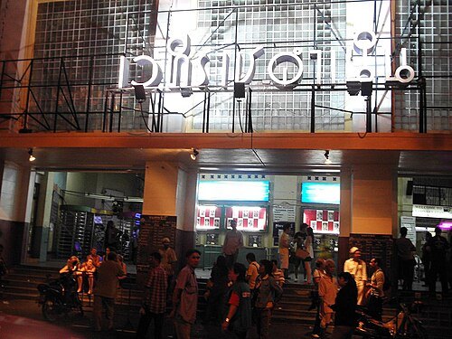 stadium
Rajadamnern Stadium
Sport arena
Getting there Nearest stop or station Lan Luang, about 9 min on foot OpenStreetMap
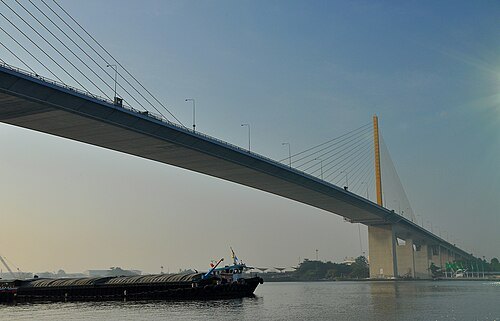
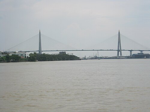 road bridge
Kanchanaphisek Bridge
Thai road bridge over the Chao Phraya
Getting there Nearest stop or station อู่ราชประชา, about 13 min on foot OpenStreetMap
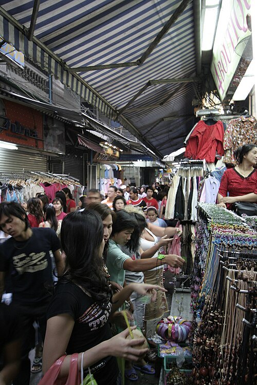 market hall
Pratunam Market
street market in Bangkok
Getting there Nearest stop or station Ratchaprarop, about 7 min on foot OpenStreetMap
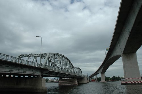 cantilever bridge
Rama III Bridge
bridge in Bangkok, Thailand
Getting there Nearest stop or station Siam Charoen Nakhon Pier, about 3 min on foot OpenStreetMap
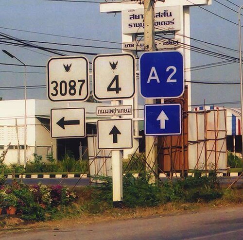 street
Phet Kasem Road
Thailand National Highway 4
Getting there Nearest stop or station Naowachamnian, about 1 min on foot OpenStreetMap
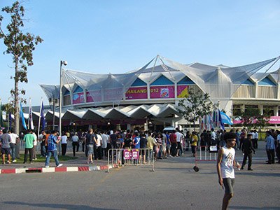
www.thai-fussball.com / CC BY 3.0
arenaIndoor Stadium Huamark
sports venue
Getting there Nearest stop or station ม.รามคำแหง, about 9 min on foot OpenStreetMap
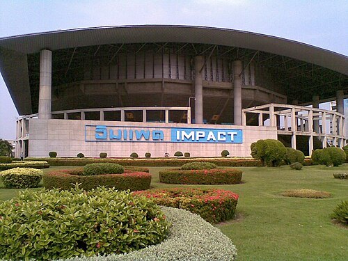
Banphot Nuchleang (Octahedron80) / CC BY 3.0
sports venueIMPACT, Muang Thong Thani
arena, exhibition and convention center in Thailand
Getting there Nearest stop or station Muang Thong Thani van station, about 7 min on foot OpenStreetMap
- zoo
Safari World
- zoo
Pata Zoo
- public aquarium
Bangkok Aquarium
- amusement park
Siam Park City
- public aquarium
Sea Life Bangkok Ocean World


Places to eat
- restaurant
Chote Chipr
Food: thai
- restaurant
แซบ-เบ๊
Food: thai, noodle
Nothing here matches that. Clear a filter and try again.
Opening hours and tickets: OpenStreetMap contributors. Each one shows the day a volunteer last wrote it down, so check the official site before you set out.