Paju: what to see and where to eat
Everything below comes from open data and each row says where it came from. We have not been to any of these places and we do not rank them.
Filters
Things to see
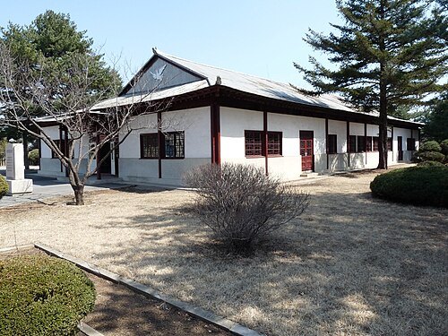
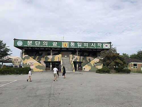 observatory
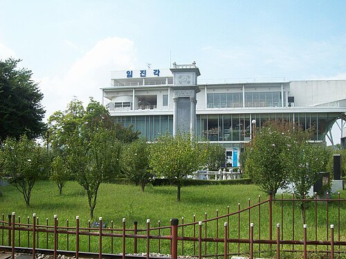
Dora Observatory
observatory on the South Korean side of the MDL
Getting there Nearest stop or station Dorasan, about 19 min on foot OpenStreetMap
Rbtjd0201(talk / Contributions) at the Korean Wikipedia / Public domain
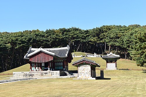
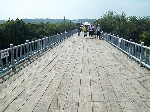
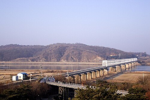
bridgeBridge of Freedom
bridge in Paju-si, Gyeonggi-do, South Korea
Getting there Nearest stop or station Imjingang, about 13 min on foot OpenStreetMap
 stadium
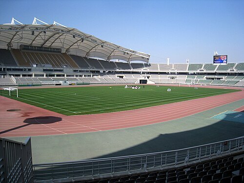
Goyang Stadium
stadium
Getting there Nearest stop or station Daehwa, about 6 min on foot OpenStreetMap
Rbtjd0201(talk / Contributions) at the Korean Wikipedia / Public domain
parkImjingak
park in Paju, South Korea
Getting there Nearest stop or station Imjingang, about 11 min on foot OpenStreetMap
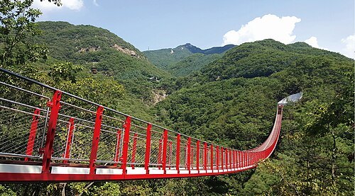
- observatory
Mt. Ohdu Unification Observatory
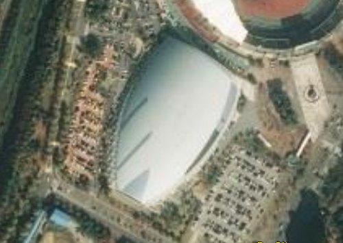
NASA World Wind / Public domain
venueGoyang Gymnasium
indoor sporting arena
Getting there Nearest stop or station Daehwa, about 8 min on foot OpenStreetMap
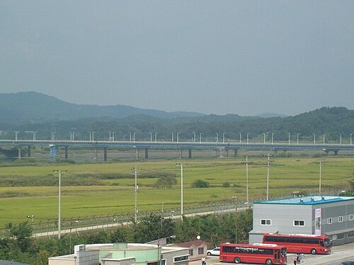
Rbtjd0201 from kowp / Public domain
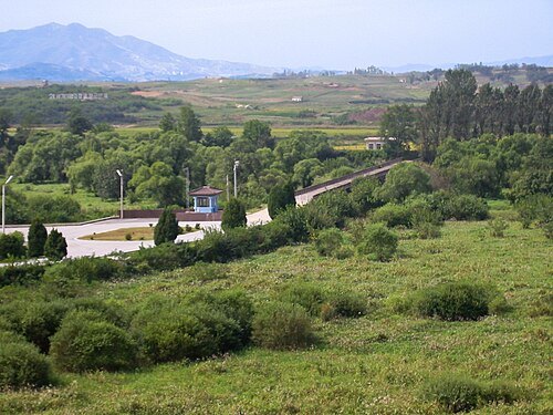
road bridgeTongil Bridge
bridge in South Korea
- island
Chopyeongdo
island in South Korea


Places to eat
Nothing here matches that. Clear a filter and try again.
Opening hours and tickets: OpenStreetMap contributors. Each one shows the day a volunteer last wrote it down, so check the official site before you set out.