Mokpo: what to see and where to eat
Everything below comes from open data and each row says where it came from. We have not been to any of these places and we do not rank them.
Filters
Things to see
- cultural heritage
Sinan Aphae-do Theropod Dinosaur Egg Nest Fossil
Korean cultural heritage item
- historic building
Yaksasa
Buddhist temple
Getting there Nearest stop or station Mokpo Coastal Passenger Ferry Terminal, about 6 min on foot OpenStreetMap
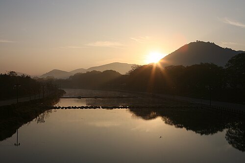
Matt872000 This photo was taken with Nikon D5300 / CC BY-SA 4.0
- island
Gohado
island in Mokpo-si, Jeollanam-do, South Korea
- island
Yuldo
island in South Korea
Getting there Nearest stop or station 율도항, about 16 min on foot OpenStreetMap
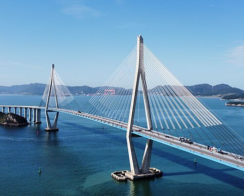 road bridge
Mokpo Bridge
bridge in Mokpo city, Republic of Korea(South Korea)
- island
Aphaedo
island of Sinan county, South Jeolla province
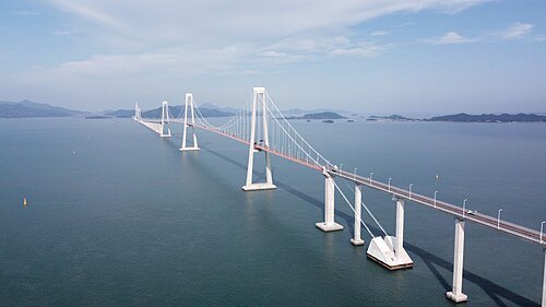
- road bridge
Kimdaejung Bridge
road bridge between Muan-gun and Sinan-gun, Jeollanam-do, South Korea
- island
Yŏnghae-do
island in South Korea
- island
Yang-do
island in South Korea
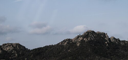
- hill
Guksabong
hill in South Korea
- island
Hyoji-do
island in South Korea
- island
Chwi-sŏm
island in South Korea
- mountain
Seungdalsan
mountain in South Korea
- island
Ch'ŏng-do
- island
Tae-sŏm
- reservoir
Kamdun-jŏsuji
reservoir in South Korea
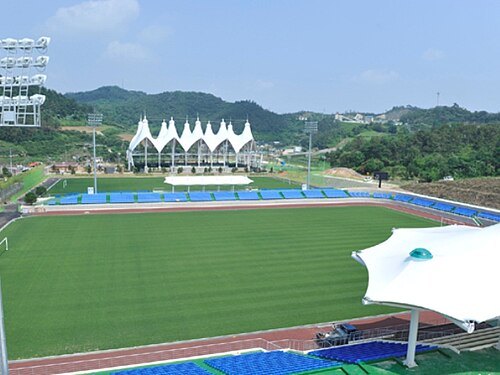
- sports venue
Yudal Stadium
- coast guard station
Mokpo Coast Guard Station
coast guard station in South Korea
Getting there Nearest stop or station Mokpo Bukhang Ferry Terminal, about 10 min on foot OpenStreetMap
- island
Yongch'ul-to
island in South Korea
- island
Samhak-to
island in South Korea
- peninsula
Muan-bando
peninsula in South Jeolla Province, South Korea
- island
Mongha-do
island in South Korea
Getting there Nearest stop or station Mokpo Port International Passenger Terminal, about 20 min on foot OpenStreetMap
- island
Chŏngju-do
island in South Korea
Getting there Nearest stop or station Mokpo Bukhang Ferry Terminal, about 19 min on foot OpenStreetMap
- island
Kurye-do
island in South Korea
- island
O-do
- hill
Yangeulsan
hill in South Korea
Getting there Nearest stop or station 목포종합버스터미널, about 14 min on foot OpenStreetMap
- hill
Ibamsan
hill in South Jeolla Province, South Korea
- island
Kwangju-yŏ
island in South Korea
- island
Madang-yŏ
island in South Korea
- hill
Daeasan
hill in South Korea
- island
Yong-do
- island
Yongnan-yŏ
island in South Korea
- hill
Pultang-san
hill in South Korea
- hill
Yuldobong
hill in South Korea
Getting there Nearest stop or station 율도항, about 18 min on foot OpenStreetMap
- sports venue
Mokpo Bukhang Evironmental Management Office
Getting there Nearest stop or station Mokpo Bukhang Ferry Terminal, about 17 min on foot OpenStreetMap
- sports venue
Mokpo Stadium
- sports venue
Mokpo Auxiliary Stadium
- island
Nok-to
island in South Korea
- island
Yong-do
island in South Korea
- island
Yoryeokdo
island in South Korea
- island
Chuk-to
- island
Dallido
island in South Korea
- island
Purumoku To
island in South Korea
- island
Siha-do
island in South Korea
- island
Pulmugi-do
island in South Korea
- island
Tal-to
island in South Jeolla Province, South Korea
- island
Kwangsa-do
island in South Korea
- island
Oedal-to
island in South Korea
- island
Kŭmho-do
island in South Korea
- island
Kŏsa-do
island in South Korea
Getting there Nearest stop or station 팔금고산여객선터미널, about 18 min on foot OpenStreetMap
- island
Hanapdeokdo
island in South Korea
- island
Fuaasa To
island in South Korea


Places to eat
- restaurant
가장 맛있는 족발 북항점
Food: 족발, 반반족발, 직화불족발
Nothing here matches that. Clear a filter and try again.
Opening hours and tickets: OpenStreetMap contributors. Each one shows the day a volunteer last wrote it down, so check the official site before you set out.