Incheon: what to see and where to eat
Everything below comes from open data and each row says where it came from. We have not been to any of these places and we do not rank them.
Filters
Things to see
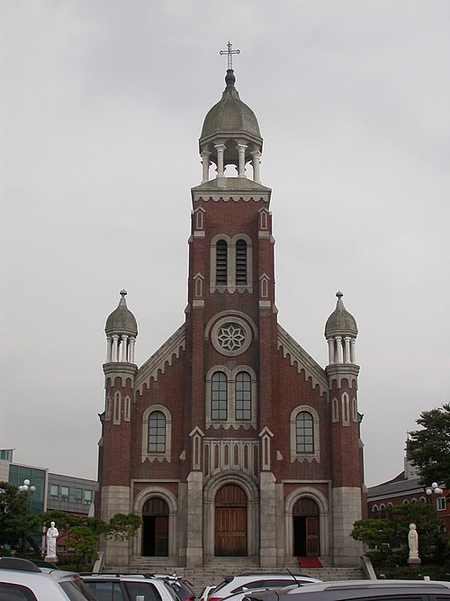 cathedral
Dapdong Cathedral
church in Incheon, South Korea
Getting there Nearest stop or station Dongincheon, about 8 min on foot OpenStreetMap
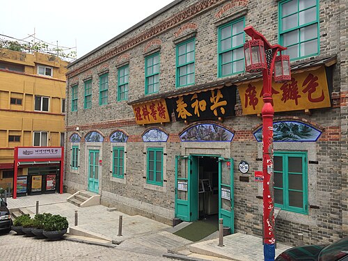 museum
Gonghwachun
building in South Korea
Getting there Nearest stop or station Wolmi Sea, about 2 min on foot OpenStreetMap
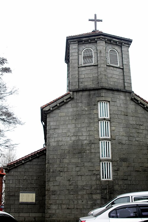 church building
Naedong Anglican Church
anglican church in Jung-gu, Incheon, South Korea
Getting there Nearest stop or station Dongincheon, about 8 min on foot OpenStreetMap
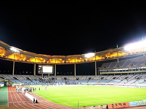
The original uploader was 주전자 at Korean Wikipedia. / CC BY-SA 2.5
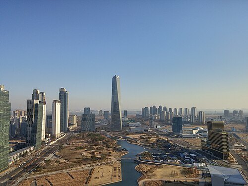 tower block
Posco Tower Songdo
skyscraper in Incheon, South Korea
Getting there Nearest stop or station Incheon National University, about 8 min on foot OpenStreetMap
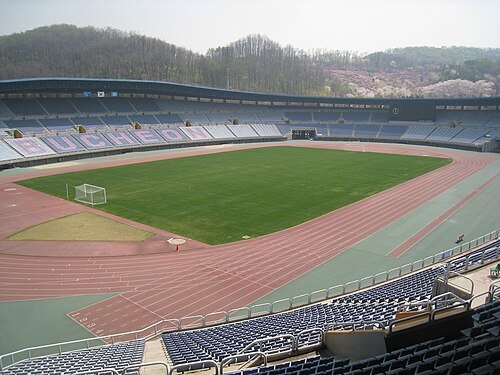
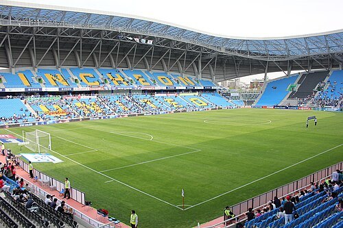 association football venue
Incheon Football Stadium
stadium
Getting there Nearest stop or station Dowon, about 5 min on foot OpenStreetMap
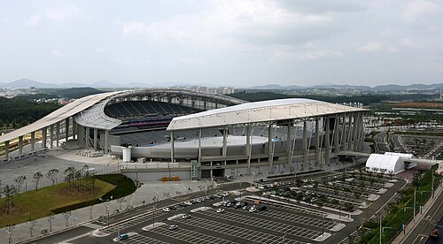 stadium
Incheon Asiad Main Stadium
Multi-purpose stadium in Incheon, South Korea
Getting there Nearest stop or station Seo-gu Office, about 15 min on foot OpenStreetMap
- sports venue
Gocheok Sky Dome
Domed baseball stadium located in Gocheok-dong, Seoul, South Korea.
Getting there Nearest stop or station Guil, about 6 min on foot OpenStreetMap
- proposed tower
151 Incheon Tower
skyscraper
Getting there Nearest stop or station Incheon City Hall, about 4 min on foot OpenStreetMap
- coast guard
Korea Coast Guard
maritime security agency of South Korea
Getting there Nearest stop or station Incheon National University, about 19 min on foot OpenStreetMap
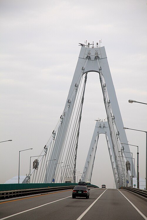
Jinho Jung from Seoul, South Korea / Public domain
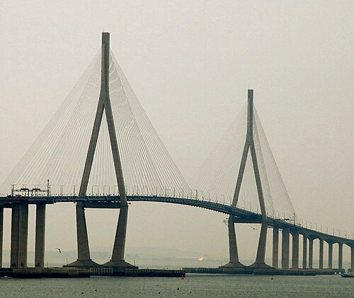
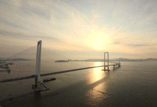
suspension bridgeYeongjong Bridge
self-anchored suspension double-deck road-rail bridge, completed 2000 linking Yeongjong Island with the mainland at Incheon, South Korea
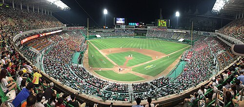
https://www.flickr.com/people/redjef25/ / CC BY 2.0
stadiumIncheon SSG Landers Field
baseball stadium in Incheon, South Korea
Getting there Nearest stop or station Munhak Sports Complex, about 7 min on foot OpenStreetMap
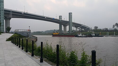 canal
Ara Canal
canal in South Korea connecting Seoul to the Yellow Sea
Getting there Nearest stop or station Ara West Sea lock gate Certification Center, about 7 min on foot OpenStreetMap
- rugby union venue
Namdong Asiad Rugby Field
South Korean rugby stadium
Getting there Nearest stop or station Namdong-gu Office, about 19 min on foot OpenStreetMap
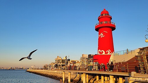
- stadium
Sungui Baseball Stadium
architectural structure
Getting there Nearest stop or station Dowon, about 4 min on foot OpenStreetMap
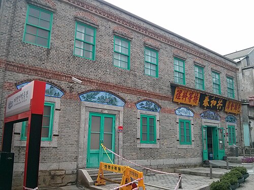 food museum
Jajangmyeon Museum
food museum in Incheon, South Korea
Getting there Nearest stop or station Wolmi Sea, about 2 min on foot OpenStreetMap
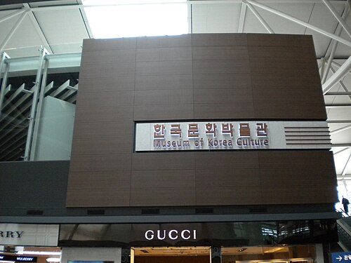
Leonard J. DeFrancisci / CC BY-SA 3.0
museumMuseum of Korean Culture
museum in Incheon, South Korea
Getting there Nearest stop or station Terminal 1, about 1 min on foot OpenStreetMap
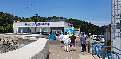
- church college
Sungkonghoe University
private Anglican university in Seoul, South Korea
Getting there Nearest stop or station Onsu, about 9 min on foot OpenStreetMap
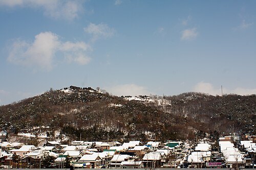
Eggmoon This photo was taken with Canon EOS 450D / CC BY-SA 3.0
mountainMountain Gaehwa
mountain in Gangseo-gu, Seoul, South Korea
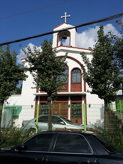
Himuka tachibana / CC BY-SA 3.0
church buildingSaint Paul Orthodox church in Incheon
Getting there Nearest stop or station Ganseogogeori, about 9 min on foot OpenStreetMap
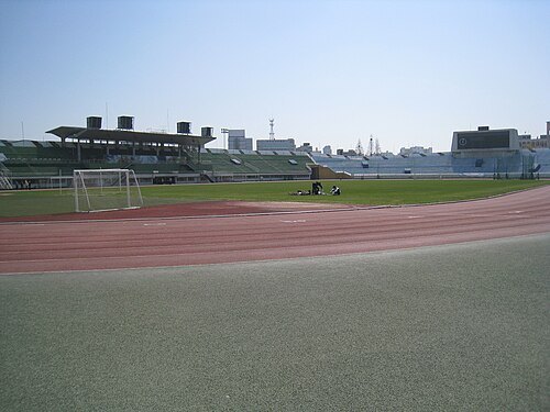 stadium
Sungui Sports Complex
Stadium in Incheon, South Korea
Getting there Nearest stop or station Dowon, about 6 min on foot OpenStreetMap
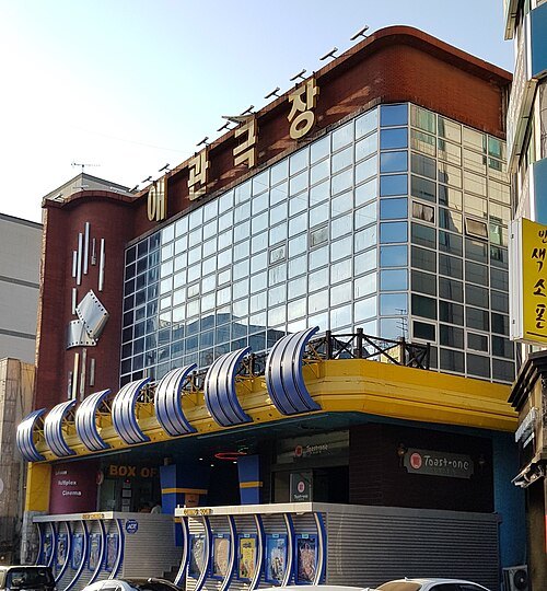 movie theater
Ae Kwan Theater
Oldest movie theater in South Korea
Getting there Nearest stop or station Dongincheon, about 7 min on foot OpenStreetMap
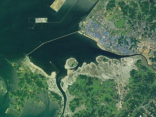 artificial lake
Sihwa lake
lake made by the Sihwa tidal barrage
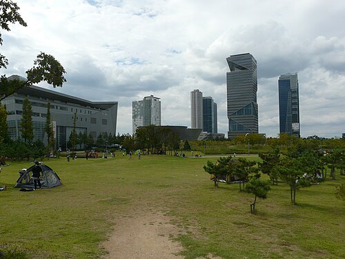 skyscraper
G-Tower
building in Incheon, Korea
Getting there Nearest stop or station Central Park, about 5 min on foot OpenStreetMap
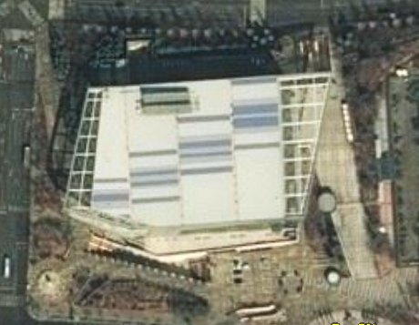
NASA World Wind / Public domain
sports venueSamsan World Gymnasium
sports venue
Getting there Nearest stop or station Samsan Gymnasium, about 6 min on foot OpenStreetMap
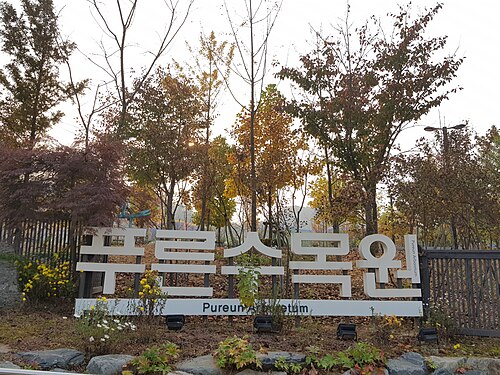 park
Pureun Arboretum
park in Guro District, South Korea
Getting there Nearest stop or station Onsu, about 14 min on foot OpenStreetMap
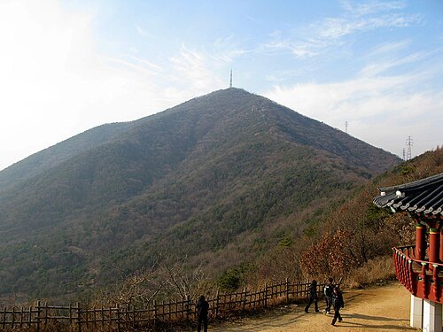
- island
Donggeomdo
island in South Korea
- mountain
Mansusan
mountain in South Korea
Getting there Nearest stop or station Geomdan Lake Park, about 8 min on foot OpenStreetMap
- sports venue
Gimpo Solteo Football Field
football stadium in South Korea
Getting there Nearest stop or station Masan, about 8 min on foot OpenStreetMap


Places to eat
- restaurant
어.참새다
Food: korean
Nothing here matches that. Clear a filter and try again.
Opening hours and tickets: OpenStreetMap contributors. Each one shows the day a volunteer last wrote it down, so check the official site before you set out.