Gwangju: what to see and where to eat
Everything below comes from open data and each row says where it came from. We have not been to any of these places and we do not rank them.
Filters
Things to see
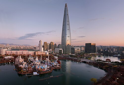 skyscraper
Lotte World Tower
Skyscraper in Seoul, South Korea
Getting there Nearest stop or station Jamsil Metro Transfer Center, about 2 min on foot OpenStreetMap
- architectural landmark
Namsan Seoul Tower
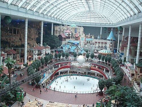 theme park
Lotte World
Indoor amusement park in Seoul
Getting there Nearest stop or station 잠실역시외버스정류소, about 3 min on foot OpenStreetMap
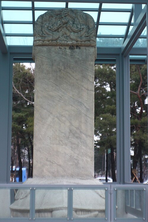 monument
Samjeondo Monument
monument in South Korea
Getting there Nearest stop or station Jamsil Metro Transfer Center, about 1 min on foot OpenStreetMap
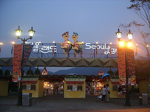 amusement park
Seoul Land
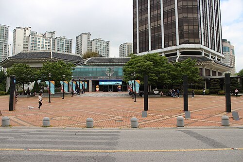
Pectus Solentis / CC BY-SA 4.0
museumSeoul Olympic Museum
in Seoul, South Korea
Getting there Nearest stop or station Hanseong Baekje, about 7 min on foot OpenStreetMap
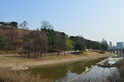 fortress
Mongchontoseong
Baekje fortress
Getting there Nearest stop or station Hanseong Baekje, about 8 min on foot OpenStreetMap
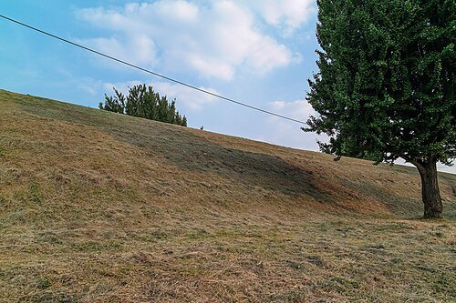 ruins
Pungnaptoseong
remains (wall) of a fortress in Seoul
Getting there Nearest stop or station Gangdong-gu Office, about 6 min on foot OpenStreetMap
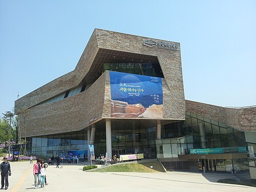 museum
Seoul Baekje Museum
building in Seoul, South Korea
Getting there Nearest stop or station Hanseong Baekje, about 7 min on foot OpenStreetMap
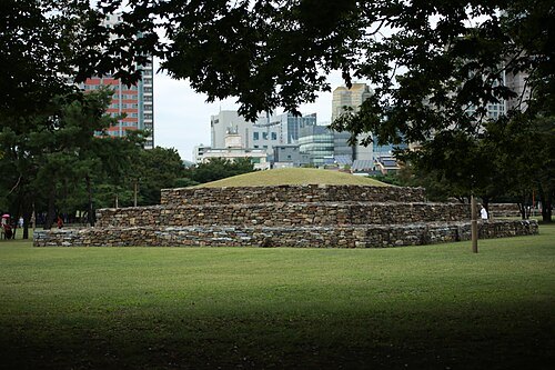 kofungun
Seoul Seokchon-dong Gobungun
- art museum
Milal Museum of Art
art museum
Getting there Nearest stop or station Ilwon, about 5 min on foot OpenStreetMap
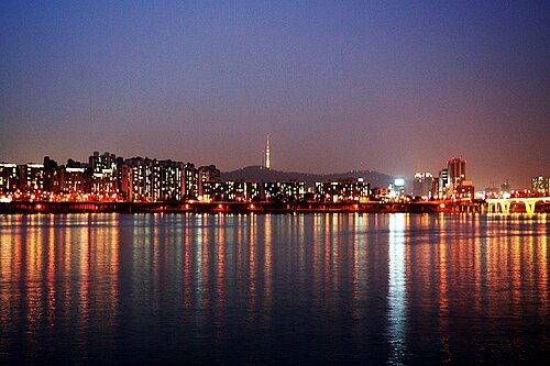
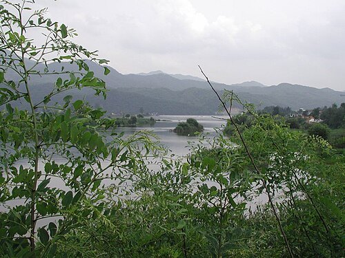
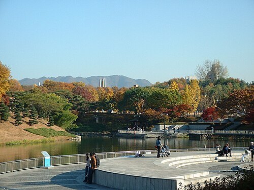
by nagyman (a flickr user) / CC BY-SA 2.0
parkOlympic Park
park in Seoul, South Korea
Getting there Nearest stop or station Hanseong Baekje, about 11 min on foot OpenStreetMap
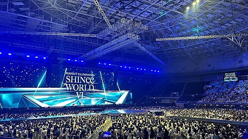 arena
Olympic Gymnastics Arena
arena in South Korea
Getting there Nearest stop or station Olympic Park, about 7 min on foot OpenStreetMap
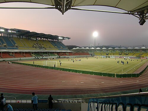 stadium
Tancheon Sports Complex
stadium
Getting there Nearest stop or station Seongnam Bus Terminal, about 10 min on foot OpenStreetMap
- public aquarium
COEX Aquarium
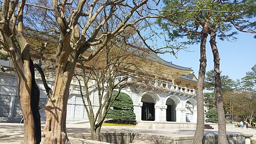
Jocelyndurrey This photo was taken with LG G3 / CC BY-SA 4.0
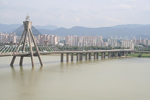 road bridge
Olympic Bridge
bridge
Getting there Nearest stop or station Gangbyeon, about 13 min on foot OpenStreetMap
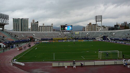 stadium
Seongnam Stadium
sports venue in Seongnam-si, Gyeonggi-do, South Korea
Getting there Nearest stop or station Sujin, about 9 min on foot OpenStreetMap
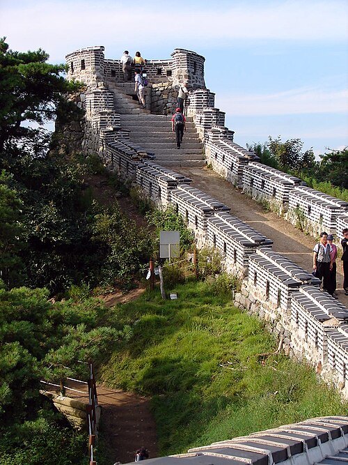
- sports venue
Yongin Mireu Stadium
stadium in Yongin, South Korea
Getting there Nearest stop or station Samga, about 14 min on foot OpenStreetMap
- sports venue
Olympic Velodrome
used for the 1988 Summer Olympics in Seoul
Getting there Nearest stop or station Hanseong Baekje, about 10 min on foot OpenStreetMap
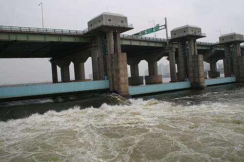
Raelene Gutierrez from Sydney, Australia / CC BY 2.0
road bridgeJamsil Bridge
road bridge in Seoul, South Korea
Getting there Nearest stop or station Hangang Bus Jamsil Terminal, about 14 min on foot OpenStreetMap
- park
Hangang Park
park in South Korea
Getting there Nearest stop or station Hangang Bus Jamsil Terminal, about 3 min on foot OpenStreetMap
- music venue
ticketLINK Live Arena
arena
Getting there Nearest stop or station Olympic Park, about 7 min on foot OpenStreetMap
- road bridge
Cheonho Bridge
bridge
Getting there Nearest stop or station Gwangnaru, about 12 min on foot OpenStreetMap
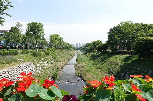 river
Yangjaecheon
river in South Korea
Getting there Nearest stop or station Hangnyeoul, about 10 min on foot OpenStreetMap
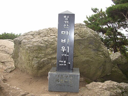
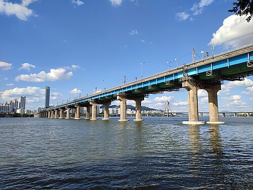
Glabb This photo was taken with Xiaomi Redmi Note 10 Pro / Public domain
railway bridgeJamsil Railway Bridge
railway bridge in Seoul, South Korea
Getting there Nearest stop or station East Seoul Bus Terminal, about 12 min on foot OpenStreetMap
- road bridge
Gwangjin Bridge
bridge
Getting there Nearest stop or station Gwangnaru, about 13 min on foot OpenStreetMap
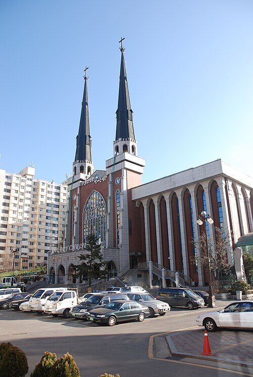
Kang Byeong Kee This photo was taken with Nikon D80 / CC BY 3.0
church buildingMyungsung Presbyterian Church
church in Gangdong-gu, Seoul, South Korea
Getting there Nearest stop or station Myeongil, about 8 min on foot OpenStreetMap
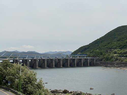 dam
Paldang Dam
dam in Gyeonggi Province, South Korea
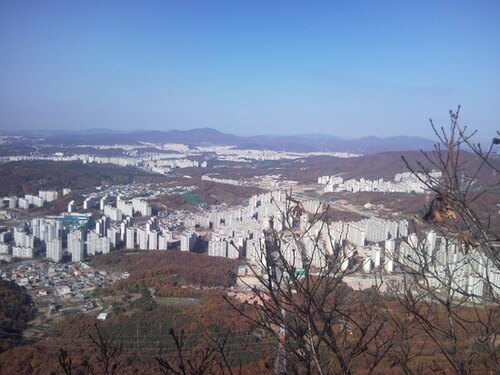 mountain
Seokseongsan
mountain in South Korea
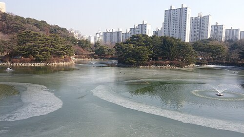
Jocelyndurrey This photo was taken with LG G3 / CC BY-SA 4.0
parkBundang Central Park
park in Bundang-gu, Seongnam-si, Gyeonggi-do, South Korea
Getting there Nearest stop or station Sunae, about 13 min on foot OpenStreetMap
- mountain
Munhyeongsan
mountain in South Korea
- market
Moran Folk 5-Day Market
dog meat market in the South Korea
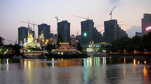 park
Seokchon Lake Park
park in Seoul, South Korea
Getting there Nearest stop or station Jamsil Metro Transfer Center, about 3 min on foot OpenStreetMap
- arena
Jamsil Students' Gymnasium
indoor sporting arena located in Seoul, South Korea
Getting there Nearest stop or station Sports Complex, about 2 min on foot OpenStreetMap
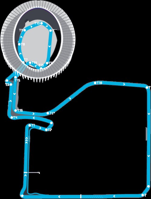 street circuit
Seoul Street Circuit
street circuit in Seoul, South-Korea
Getting there Nearest stop or station Sports Complex, about 2 min on foot OpenStreetMap
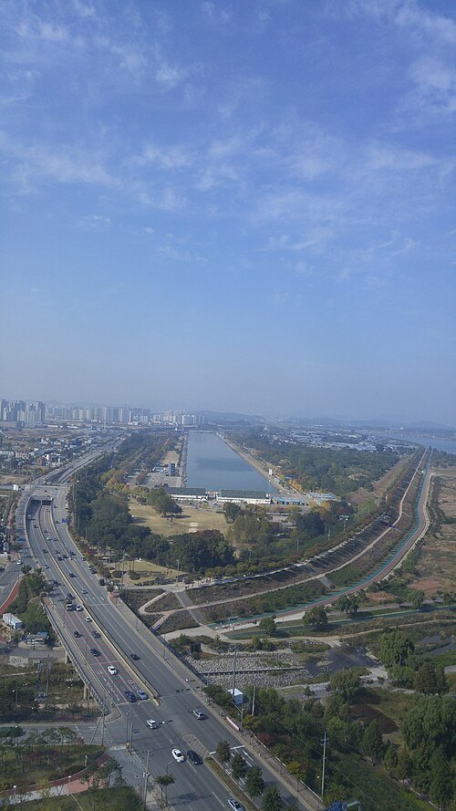 artificial lake
Misari Regatta
Olympic rowing venue near Seoul, South Korea
Getting there Nearest stop or station 하남시시내버스차고지, about 10 min on foot OpenStreetMap
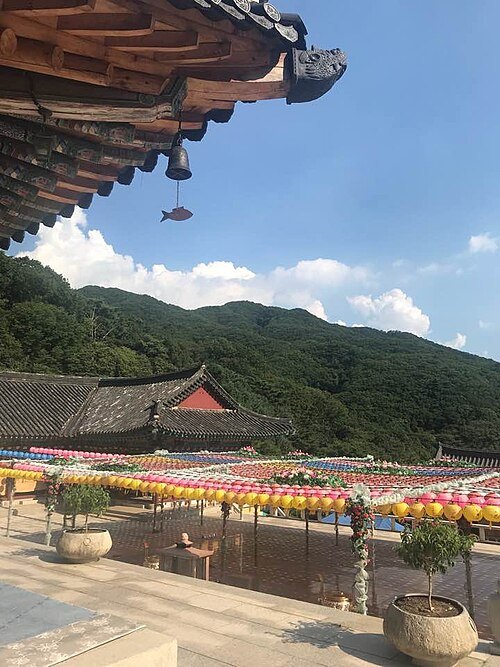
- opera house
Seongnam Arts Center
Performing arts venue in South Korea
Getting there Nearest stop or station Imae, about 14 min on foot OpenStreetMap
- sports venue
Jamsil Indoor Swimming Pool
swimming venue in Seoul, South Korea
Getting there Nearest stop or station Olympic Park, about 11 min on foot OpenStreetMap
- art museum
Museum of Photography, Seoul
Getting there Nearest stop or station Mongchontoseong, about 2 min on foot OpenStreetMap


Places to eat
Nothing here matches that. Clear a filter and try again.
Opening hours and tickets: OpenStreetMap contributors. Each one shows the day a volunteer last wrote it down, so check the official site before you set out.