Busan: what to see and where to eat
Everything below comes from open data and each row says where it came from. We have not been to any of these places and we do not rank them.
Filters
Things to see
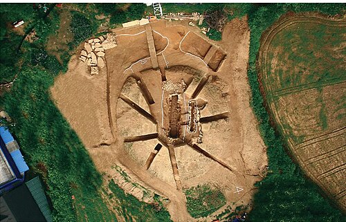
문화재청 (공공누리 제1유형) / CC BY-SA 4.0
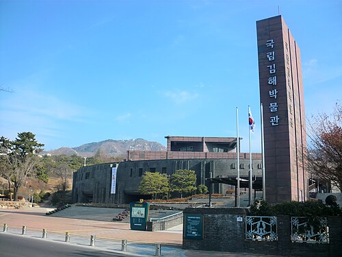
archaeological siteGaya Tumuli
World Heritage Site in South Korea
Getting there Nearest stop or station Gimhae National Museum, about 5 min on foot OpenStreetMap
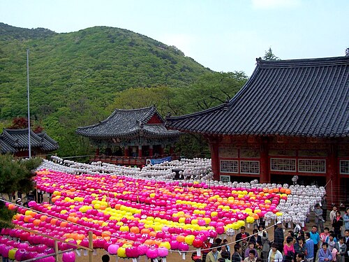
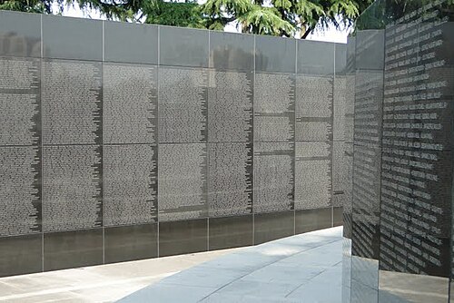 war cemetery
United Nations Memorial Cemetery
cemetery in Busan, South Korea, for soldiers of the Korean War
Getting there Nearest stop or station Daeyeon, about 13 min on foot OpenStreetMap
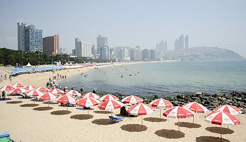
 park
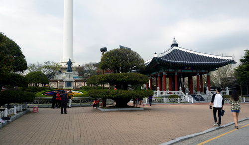
Yongdusan Park
park
Getting there Nearest stop or station Nampo, about 6 min on foot OpenStreetMap
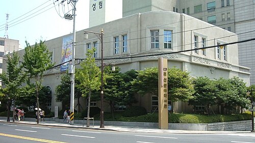
桂鷺淵 / Katsura Roen / CC BY-SA 3.0
museumBusan Modern History Museum
Museum in Busan, South Korea
Getting there Nearest stop or station Jungang, about 8 min on foot OpenStreetMap
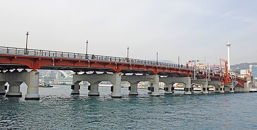 road bridge
Yeongdo Bridge
bascule bridge in Yeongdo, Busan, Republic of Korea
Getting there Nearest stop or station Nampo, about 5 min on foot OpenStreetMap
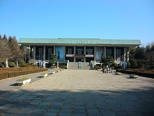 museum
Busan Museum
regional History Museum in Busan Namgu Daeyeon dong
Getting there Nearest stop or station Daeyeon, about 10 min on foot OpenStreetMap
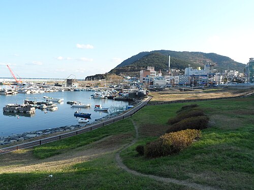
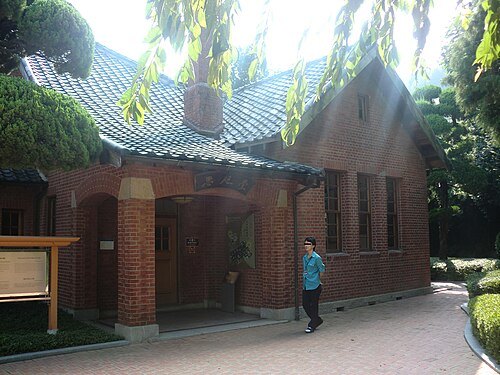 museum
Provisional Capital Memorial Hall
museum in Seo-gu, Busan, South Korea
Getting there Nearest stop or station Toseong, about 6 min on foot OpenStreetMap
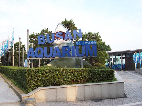 public aquarium
Busan Aquarium
aquarium in Haeundae Beach, South Korea
Getting there Nearest stop or station Haeundae, about 8 min on foot OpenStreetMap
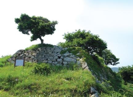
- art museum
Busan Museum of Art
world Museums Art
Getting there Nearest stop or station BEXCO, about 4 min on foot OpenStreetMap
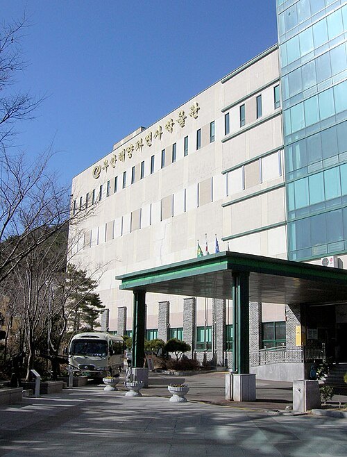 natural history museum
Busan Marine Natural History Museum
natural history museum in Busan, South Korea
Getting there Nearest stop or station 금강공원케이블카, about 4 min on foot OpenStreetMap
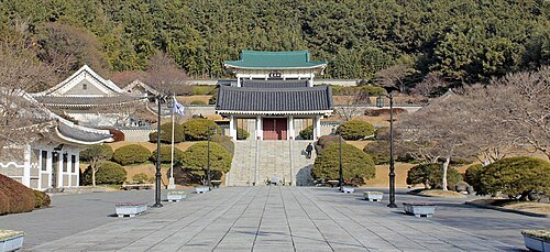
Korea Heritage Service / CC BY-SA 4.0
buddhist templeChungnyeolsa
Buddhist temple
Getting there Nearest stop or station Chungryeolsa, about 4 min on foot OpenStreetMap
- fortress
Busanjinseong
wall-fortress in Busan, South Korea
Getting there Nearest stop or station Beomil, about 9 min on foot OpenStreetMap
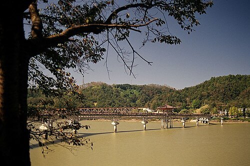
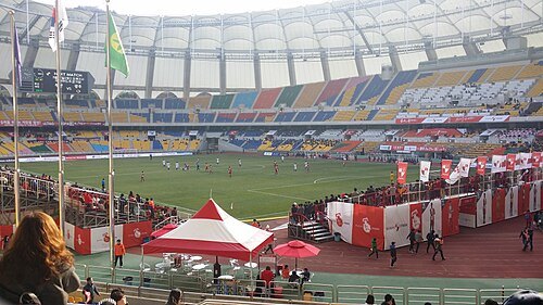 sports venue
Busan Asiad Main Stadium
Multi-purpose stadium in Busan, South Korea
Getting there Nearest stop or station Sports Complex, about 13 min on foot OpenStreetMap
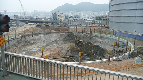 skyscraper
Busan Lotte World Tower
skyscraper
Getting there Nearest stop or station Nampo, about 3 min on foot OpenStreetMap
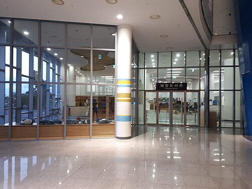 national museum
National Maritime Museum
Korean maritime museum and the third largest museum in South Korea
Getting there Nearest stop or station Busan Port International Cruise Ship Terminal, about 9 min on foot OpenStreetMap
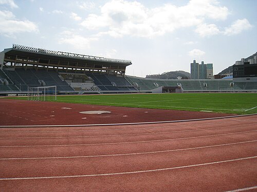 stadium
Busan Gudeok Stadium
Stadion in South Korea, home ground of Busan IPark
Getting there Nearest stop or station Seodaesin, about 10 min on foot OpenStreetMap
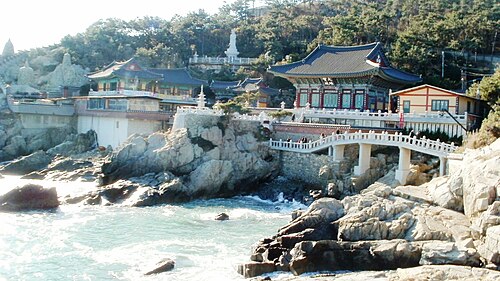
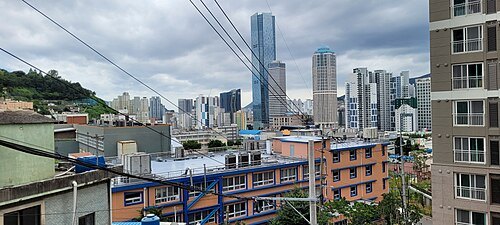
 beach
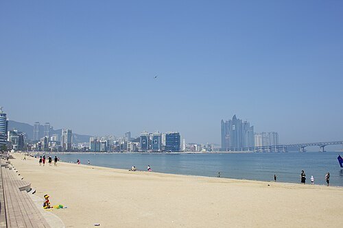
Gwangalli Beach
beach in Busan, South Korea
Getting there Nearest stop or station Gwangan, about 12 min on foot OpenStreetMap
- concert hall
Busan Cinema Center
Movie complex in Busan, South Korea
Getting there Nearest stop or station Centum City, about 7 min on foot OpenStreetMap
 skyscraper
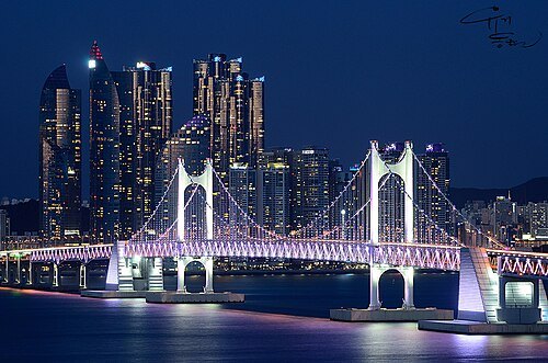
Haeundae I Park
complex of four skyscrapers in Busan, South Korea
Getting there Nearest stop or station Dongbaek, about 12 min on foot OpenStreetMap
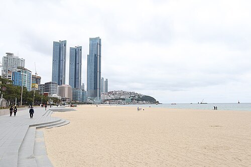 skyscraper
Haeundae LCT The Sharp
Skyscraper in Busan, South Korea
Getting there Nearest stop or station Mipo Station, about 7 min on foot OpenStreetMap
- mosque
Busan Al-Fatah Mosque
mosque in Geumjeong, Busan, South Korea
Getting there Nearest stop or station Dusil, about 5 min on foot OpenStreetMap
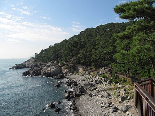 island
Dongbaek Island
island in Haeundae, Busan, South Korea
Getting there Nearest stop or station Haeundae Intercity Bus Terminal, about 12 min on foot OpenStreetMap
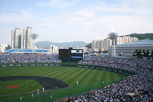
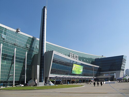 event venue
Busan Exhibition and Convention Center
building in Busan, South Korea
Getting there Nearest stop or station BEXCO, about 4 min on foot OpenStreetMap
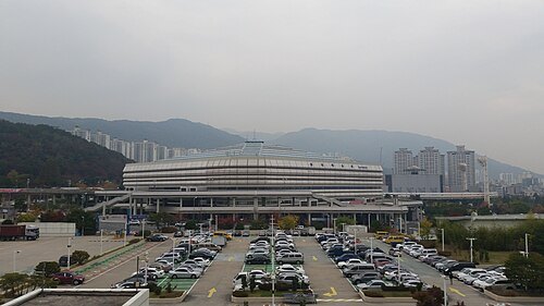 arena
Sajik Arena
indoor sporting arena in Busan, South Korea
Getting there Nearest stop or station Sports Complex, about 10 min on foot OpenStreetMap
- theater of war
Pusan Perimeter
Getting there Nearest stop or station Busan Domestic Passenger Terminal, about 5 min on foot OpenStreetMap
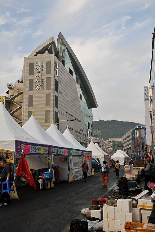
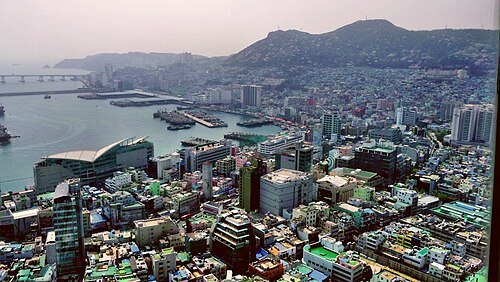 fish market
Busan Cooperative Fish Market
building in Busan, South Korea
Getting there Nearest stop or station Jagalchi, about 16 min on foot OpenStreetMap
- park
Busan Citizens Park
park in Busan, South Korea
Getting there Nearest stop or station Bujeon, about 6 min on foot OpenStreetMap
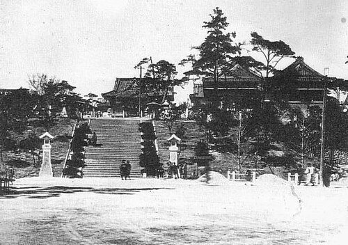
Unknown authorUnknown author / Public domain
shinto shrineRyūtōsan Shrine
1678–1945 Shinto shrine in Korea
Getting there Nearest stop or station Nampo, about 6 min on foot OpenStreetMap
- sports venue
Yangsan Stadium
sports venue in Yangsan, South Korea
Getting there Nearest stop or station 양산역, about 13 min on foot OpenStreetMap
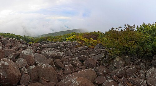
- mountain
Hwangnyeongsan
mountain in Busan, South Korea
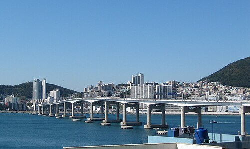 road bridge
Namhang Bridge
bridge
Getting there Nearest stop or station Songdo Bay Station, about 14 min on foot OpenStreetMap
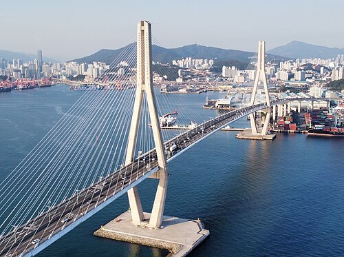
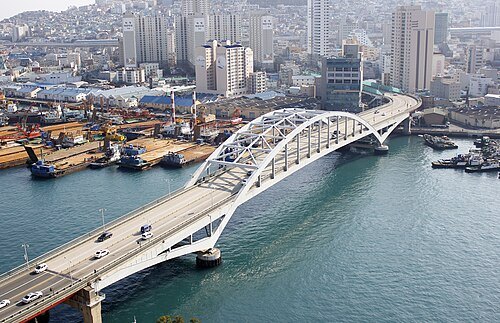 road bridge
Busan Bridge
bridge in South Korea
Getting there Nearest stop or station Nampo, about 6 min on foot OpenStreetMap
- island
Eulsukdo
island in South Korea
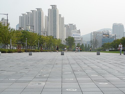 square
Song Sang-hyeon Square
Plaza in Busan, South Korea
Getting there Nearest stop or station Yangjeong, about 9 min on foot OpenStreetMap
- church building
Orthodox church of the Annunciation of Our Lady in Busan
Getting there Nearest stop or station Jungang, about 8 min on foot OpenStreetMap
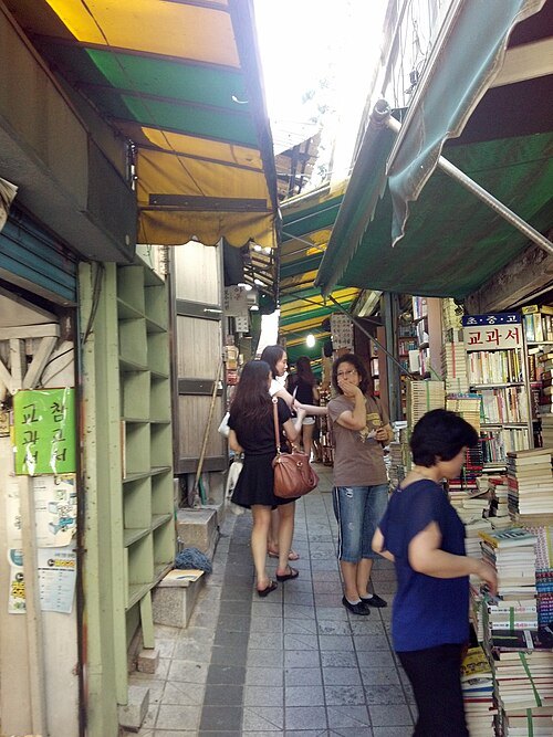 street
Bosu Book Street
Shopping street in Busan, South Korea
Getting there Nearest stop or station Jagalchi, about 10 min on foot OpenStreetMap
- mountain
Bongraesan
mountain in Yeongdo-gu, Busan, South Korea
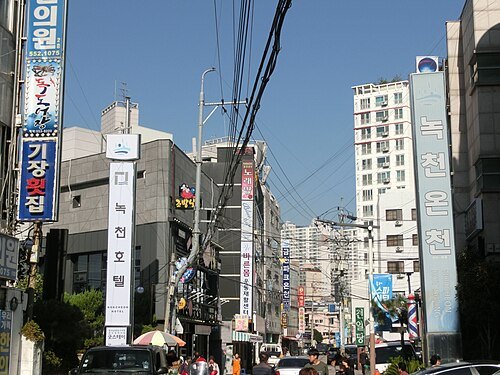 spa town
Dongnae Hot Spring
the hot spring in Dongnae District, Busan
Getting there Nearest stop or station Oncheonjan, about 7 min on foot OpenStreetMap


Places to eat
- restaurant
아웃백스테이크하우스 부전점
Food: steak house
Nothing here matches that. Clear a filter and try again.
Opening hours and tickets: OpenStreetMap contributors. Each one shows the day a volunteer last wrote it down, so check the official site before you set out.