Warsaw: what to see and where to eat
Everything below comes from open data and each row says where it came from. We have not been to any of these places and we do not rank them.
Filters
Things to see
- architectural landmark
Palace of Culture and Science
high-rise building and house of culture in Warsaw, Poland
Getting there Nearest stop or station Plac Defilad, about 3 min on foot OpenStreetMap
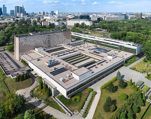 national library
National Library of Poland
national library
Getting there Nearest stop or station Pole Mokotowskie, about 10 min on foot OpenStreetMap
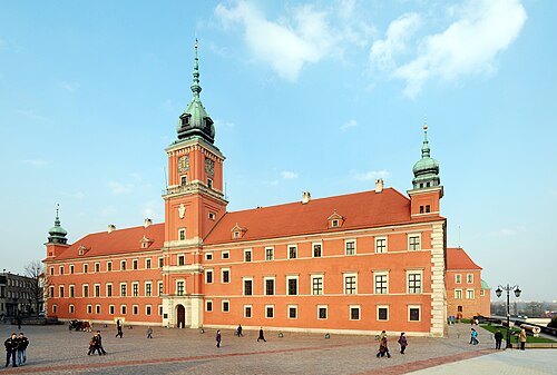 royal palace
Royal Castle in Warsaw
castle residency in Warsaw, Poland
Getting there Nearest stop or station Pl. Piłsudskiego, about 8 min on foot OpenStreetMap
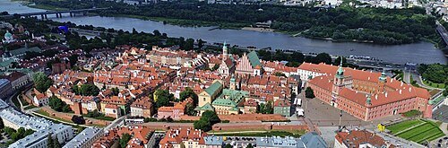 architectural heritage monument
Warsaw Old Town
old town of Warsaw, Poland
Getting there Nearest stop or station Podzamcze Fontanny, about 8 min on foot OpenStreetMap
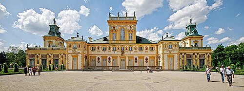
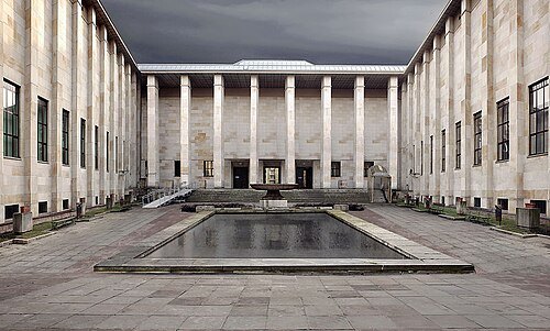
Muzeum Narodowe w Warszawie / CC BY-SA 4.0
history museumNational Museum in Warsaw
national museum in Warsaw, Poland
Getting there Nearest stop or station Warszawa Powiśle, about 5 min on foot OpenStreetMap
- catholic cathedral
St. John's Archcathedral
cathedral
Getting there Nearest stop or station Podzamcze Fontanny, about 9 min on foot OpenStreetMap
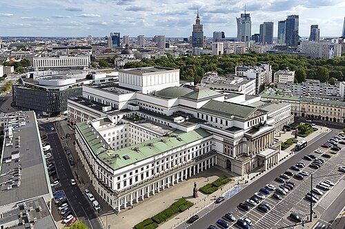 architectural heritage monument
Grand Theatre
opera company in Warsaw, Poland
Getting there Nearest stop or station Pl. Piłsudskiego, about 2 min on foot OpenStreetMap
- museum building
Museum of the History of Polish Jews
museum founded in 2005 in Warsaw
Getting there Nearest stop or station Ratusz-Arsenał, about 11 min on foot OpenStreetMap
- monument
Sigismund's Column
monument in Warsaw
Getting there Nearest stop or station Pl. Piłsudskiego, about 7 min on foot OpenStreetMap
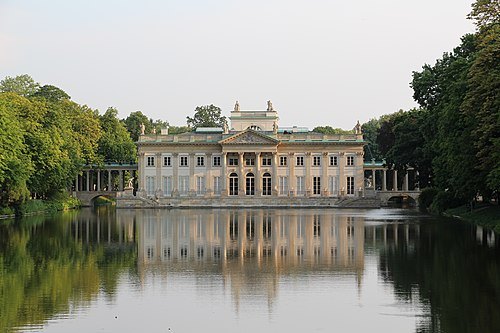
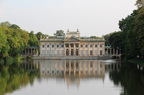
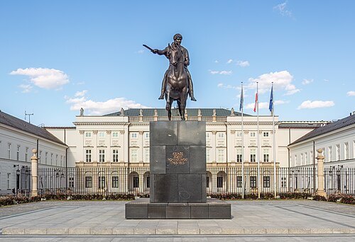 architectural heritage monument
Presidential Palace
palace in Warsaw and official residence of the President of the Republic of Poland
Getting there Nearest stop or station Pl. Piłsudskiego, about 3 min on foot OpenStreetMap
- architectural heritage monument
Powązki Cemetery
cemetery located in the Wola district, western part of Warsaw, Poland
Getting there Nearest stop or station Warszawa Powązki, about 7 min on foot OpenStreetMap
- architectural heritage monument
Belweder
palace in Warsaw and official residence of the President of the Republic of Poland
Getting there Nearest stop or station Politechnika, about 16 min on foot OpenStreetMap
- history museum
Warsaw Uprising Museum
Polish museum about the Warsaw Uprising
Getting there Nearest stop or station Rondo Daszyńskiego, about 4 min on foot OpenStreetMap
- catholic church building
Holy Cross Church
Roman Catholic church in Warsaw, Poland
Getting there Nearest stop or station Nowy Świat-Uniwersytet, about 3 min on foot OpenStreetMap
- architectural heritage monument
Ujazdów Castle
Polish palace
Getting there Nearest stop or station Politechnika, about 17 min on foot OpenStreetMap
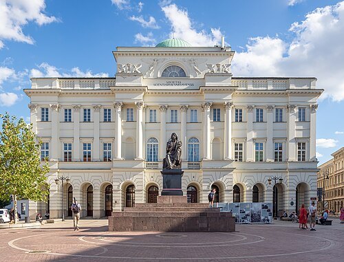 architectural heritage monument
Staszic Palace
palace
Getting there Nearest stop or station Nowy Świat-Uniwersytet, about 2 min on foot OpenStreetMap
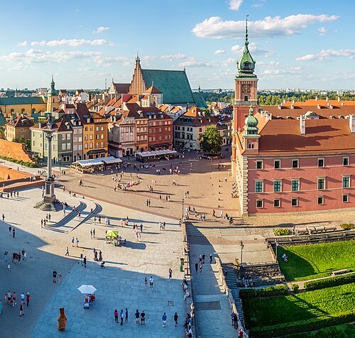 square
Castle Square
square in Warsaw, Poland
Getting there Nearest stop or station Pl. Piłsudskiego, about 8 min on foot OpenStreetMap
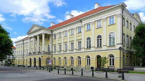 architectural heritage monument
Kazimierz Palace
palace
Getting there Nearest stop or station Nowy Świat-Uniwersytet, about 8 min on foot OpenStreetMap
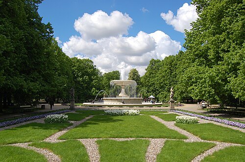 park
Saxon Garden
Warsaw public garden
Getting there Nearest stop or station Pl. Piłsudskiego, about 6 min on foot OpenStreetMap
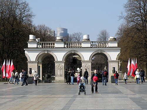
Alina Zienowicz Ala z / Public domain
monumentTomb of the Unknown Soldier, Warsaw
grave (Warsaw, Poland)
Getting there Nearest stop or station Pl. Piłsudskiego, about 4 min on foot OpenStreetMap
- skyscraper
Złote Tarasy
commercial, office, and entertainment complex in Warsaw
Getting there Nearest stop or station Warsaw Central, about 2 min on foot OpenStreetMap
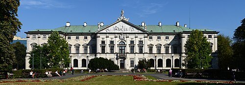 architectural heritage monument
Krasiński Palace
building in Warsaw, Poland
Getting there Nearest stop or station Ratusz-Arsenał, about 8 min on foot OpenStreetMap
- architectural heritage monument
Krakowskie Przedmieście Street
street in Warsaw, Poland
Getting there Nearest stop or station Pl. Piłsudskiego, about 4 min on foot OpenStreetMap
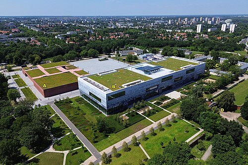 military museum
Polish Army Museum
military museum
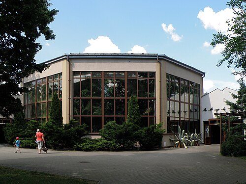
Getting there Nearest stop or station Warszawa Gdańska, about 12 min on foot OpenStreetMap
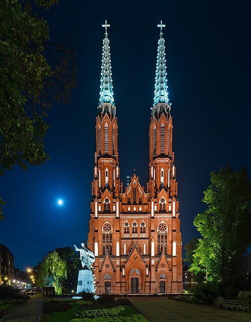
Solidphotouploader / CC BY-SA 3.0
catholic cathedralSt. Florian's Cathedral
cathedral
Getting there Nearest stop or station Dworzec Wileński, about 6 min on foot OpenStreetMap
- square
Umschlagplatz in Warsaw ghetto
railway in the ghetto of Warsaw for deportation of Jews
Getting there Nearest stop or station Dworzec Gdański, about 11 min on foot OpenStreetMap
- church building
St. Alexander's Church
church building in Warsaw, Poland
Getting there Nearest stop or station Warszawa Powiśle, about 10 min on foot OpenStreetMap
- architectural heritage monument
Warsaw Barbican
barbican
Getting there Nearest stop or station Podzamcze Fontanny, about 7 min on foot OpenStreetMap
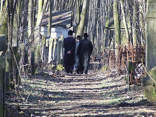
Hubert Śmietanka / CC BY-SA 2.5
architectural heritage monumentOkopowa Street Jewish Cemetery
cemetery in Warsaw, Poland
Getting there Nearest stop or station Esperanto, about 7 min on foot OpenStreetMap
- university library
Warsaw University Library
academic library
Getting there Nearest stop or station Centrum Nauki Kopernik, about 9 min on foot OpenStreetMap
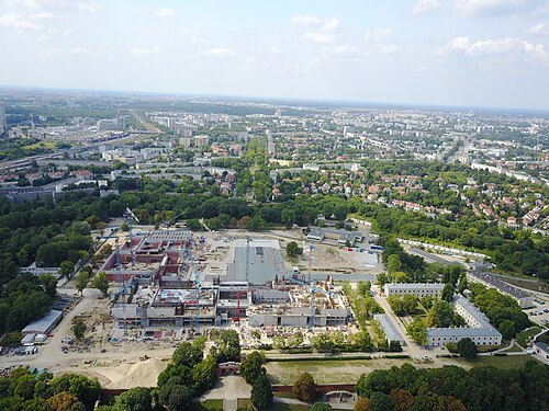 military museum
Warsaw Citadel
part of Warsaw Fortress
Getting there Nearest stop or station Warszawa Gdańska, about 13 min on foot OpenStreetMap
- architectural heritage monument
Nowy Świat Street
street in Warsaw, Poland
Getting there Nearest stop or station Nowy Świat-Uniwersytet, about 7 min on foot OpenStreetMap
- architectural heritage monument
Czapski Palace
palace
Getting there Nearest stop or station Nowy Świat-Uniwersytet, about 5 min on foot OpenStreetMap
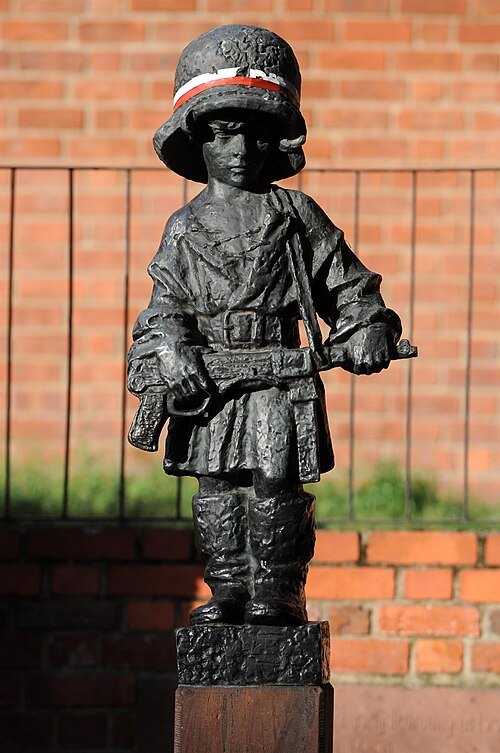
Cezary Piwowarski / CC BY-SA 4.0
statueMały Powstaniec
Statue by Jerzy Jarnuszkiewicz in Warsaw, Poland
Getting there Nearest stop or station Podzamcze Fontanny, about 9 min on foot OpenStreetMap
- architectural heritage monument
St. Anne's Church
Roman Catholic church in Warsaw
Getting there Nearest stop or station Pl. Piłsudskiego, about 6 min on foot OpenStreetMap
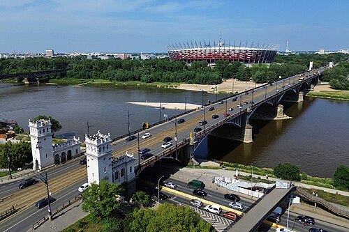 bridge
Poniatowski Bridge
bridge in Poland
Getting there Nearest stop or station Stadion Narodowy, about 2 min on foot OpenStreetMap
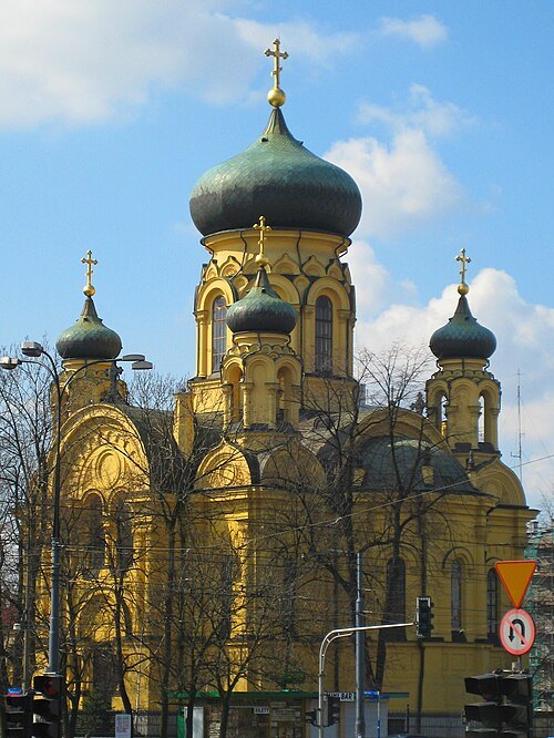 architectural heritage monument
Cathedral of St. Mary Magdalene
church in Warsaw, Poland
Getting there Nearest stop or station Dworzec Wileński, about 3 min on foot OpenStreetMap
- synagogue
Nożyk Synagogue
synagogue in Warsaw, Poland
Getting there Nearest stop or station Rondo ONZ, about 6 min on foot OpenStreetMap
- museum of modern art
Museum of Modern Art in Warsaw
modern art museum in Warsaw, Poland
Getting there Nearest stop or station Świętokrzyska, about 3 min on foot OpenStreetMap
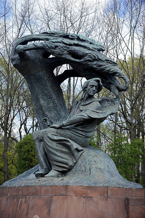
Cezary Piwowarski / CC BY-SA 4.0
monumentFrederic Chopin Monument in Warsaw
sculpture in Warsaw
Getting there Nearest stop or station Politechnika, about 15 min on foot OpenStreetMap
- church building
Carmelite Church
church building in Warsaw, Poland
Getting there Nearest stop or station Pl. Piłsudskiego, about 3 min on foot OpenStreetMap
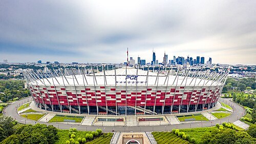 stadium
Kazimierz Górski National Stadium
football stadium located in Warsaw, Poland
Getting there Nearest stop or station Stadion Narodowy, about 6 min on foot OpenStreetMap
- public library
Załuski Library
library in Warsaw
Getting there Nearest stop or station Ratusz-Arsenał, about 7 min on foot OpenStreetMap
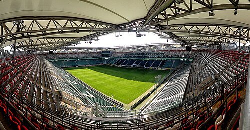 association football venue
Polish Army Stadium
football stadium
Getting there Nearest stop or station Saska Kępa, about 16 min on foot OpenStreetMap
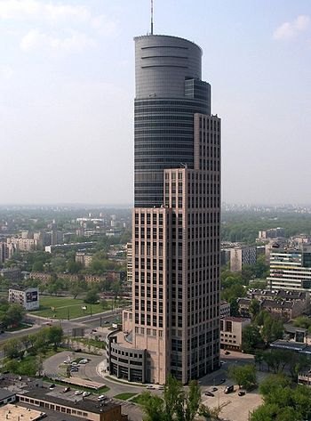 tower block
Warsaw Trade Tower
skyscraper in Warsaw, Poland
Getting there Nearest stop or station Rondo Daszyńskiego, about 9 min on foot OpenStreetMap
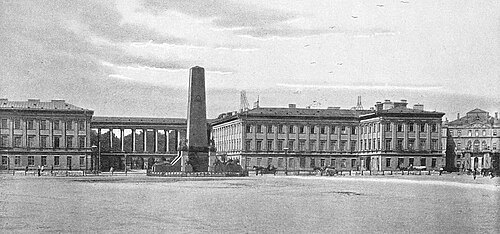 palace
Saxon Palace
building in Warsaw, Poland
Getting there Nearest stop or station Pl. Piłsudskiego, about 4 min on foot OpenStreetMap
- monument
Monument to the Ghetto Heroes
sculpture
Getting there Nearest stop or station Ratusz-Arsenał, about 11 min on foot OpenStreetMap
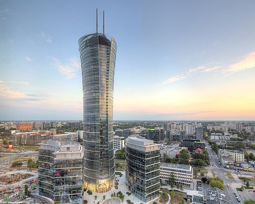 skyscraper
Warsaw Spire
headquarters of the European Border and Coast Guard Agency (Frontex)
Getting there Nearest stop or station Rondo Daszyńskiego, about 6 min on foot OpenStreetMap
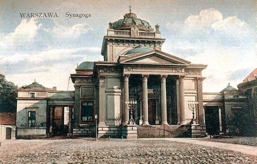
Unknown authorUnknown author / Public domain
demolished synagogueGreat Synagogue, Warsaw
synagogue (Warsaw, Poland; 1878–1943)
Getting there Nearest stop or station Ratusz-Arsenał, about 2 min on foot OpenStreetMap
- eastern orthodox cathedral
Alexander Nevsky Cathedral
Cathedral in Warsaw, Poland
Getting there Nearest stop or station Pl. Piłsudskiego, about 3 min on foot OpenStreetMap
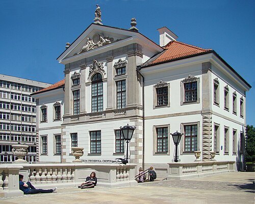
Szczebrzeszynski / Public domain
biographical museumFryderyk Chopin Museum
museum in Warsaw, Poland, dedicated to the composer Frédéric Chopin
Getting there Nearest stop or station Nowy Świat-Uniwersytet, about 7 min on foot OpenStreetMap
- monument
Warsaw Uprising Monument
sculpture
Getting there Nearest stop or station Ratusz-Arsenał, about 9 min on foot OpenStreetMap
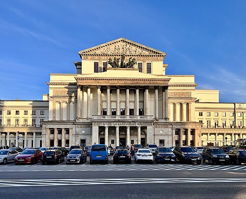
Chris Olszewski / CC BY-SA 4.0
theatre buildingNational Theatre of Warsaw
theatre in Warsaw, Poland
Getting there Nearest stop or station Pl. Piłsudskiego, about 4 min on foot OpenStreetMap
- street
Aleje Jerozolimskie
street in Warsaw
Getting there Nearest stop or station Centrum, about 2 min on foot OpenStreetMap


Places to eat
No eating place in this city lists its cuisine and opening hours yet.
Nothing here matches that. Clear a filter and try again.
Opening hours and tickets: OpenStreetMap contributors. Each one shows the day a volunteer last wrote it down, so check the official site before you set out.