Dasmariñas: what to see and where to eat
Everything below comes from open data and each row says where it came from. We have not been to any of these places and we do not rank them.
Filters
Things to see
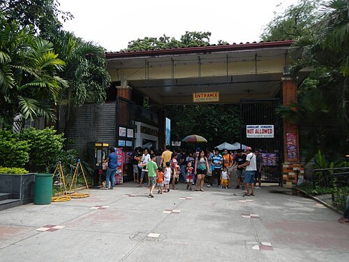
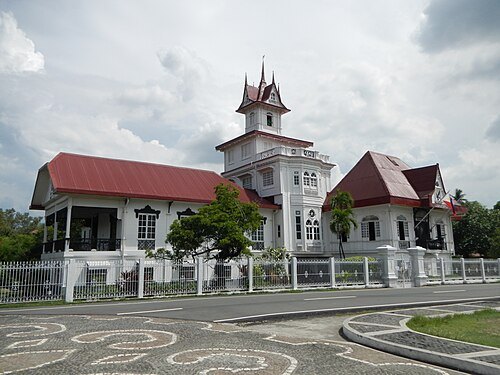
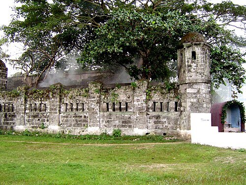
National Historical Commission of the Philippines / Public domain
ruinsCuartel de Santo Domingo
fortification ruins in Laguna, Philippines
Getting there Nearest stop or station Nuvali Transport Terminal, about 14 min on foot OpenStreetMap
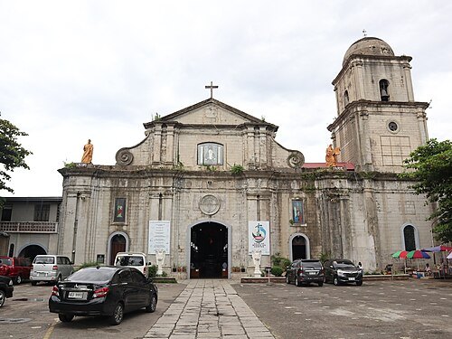
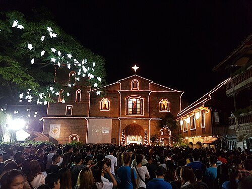 catholic parish church
Las Piñas Church
Roman Catholic parish church in Las Piñas, Philippines
Getting there Nearest stop or station Dr. Santos, about 15 min on foot OpenStreetMap
 diocese of the catholic church
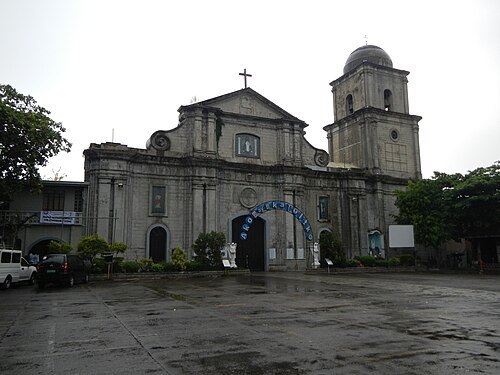
Diocese of Imus
diocese of the Catholic Church in the Philippines
Getting there Nearest stop or station Imus Transport Plaza, about 17 min on foot OpenStreetMap
Ramon FVelasquez / CC BY-SA 3.0
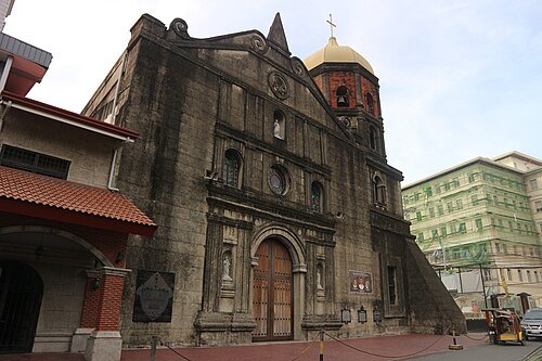
catholic cathedralImus Cathedral
Roman Catholic cathedral in the Philippines
Getting there Nearest stop or station Imus Transport Plaza, about 17 min on foot OpenStreetMap
Elmer B. Domingo / CC BY-SA 4.0
catholic cathedralParañaque Cathedral
Roman catholic cathedral in Parañaque
Getting there Nearest stop or station Ninoy Aquino Avenue, about 5 min on foot OpenStreetMap
- peninsula
Cavite Peninsula
peninsula in the Philippines
Getting there Nearest stop or station Saint Anthony of Padua Bus Terminal, about 10 min on foot OpenStreetMap
- bay
Cañacao Bay
bay in the Philippines
Getting there Nearest stop or station Saulog Transit Terminal, about 20 min on foot OpenStreetMap
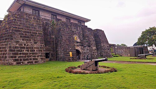 fort
Fort San Felipe
military fortress in Cavite City, in the Province of Cavite, Philippines
Getting there Nearest stop or station Saulog Transit Terminal, about 18 min on foot OpenStreetMap
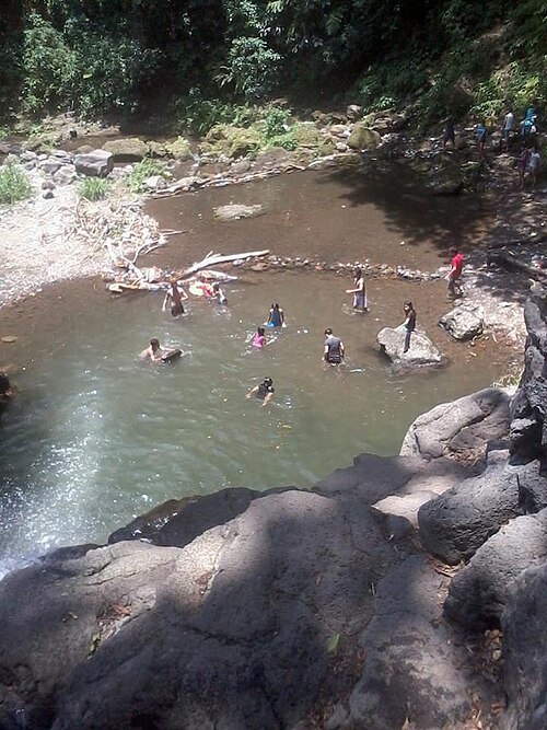
- river
Mangangate River
river in Muntinlupa, Metro Manila
Getting there Nearest stop or station Alabang, about 4 min on foot OpenStreetMap
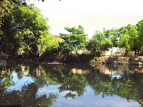
Charles Boris Manez / CC BY-SA 3.0
riverZapote River
river in the Philippines forming the boundary between Metro Manila and the province of Cavite
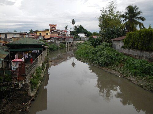
Ramon FVelasquez / CC BY-SA 3.0
riverTunasan River
river in the Philippines
Getting there Nearest stop or station Muntinlupa, about 11 min on foot OpenStreetMap
- amusement park
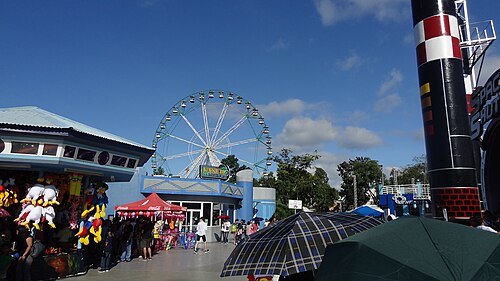
Star City, Manila
TagaSanPedroAko / Public domain
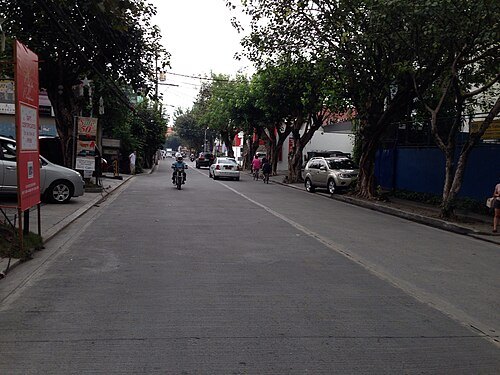
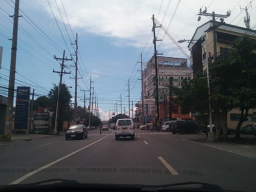
streetAlabang–Zapote Road
road in the Philippines
Getting there Nearest stop or station SM Transport Terminal, about 12 min on foot OpenStreetMap
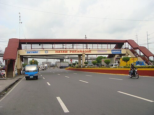
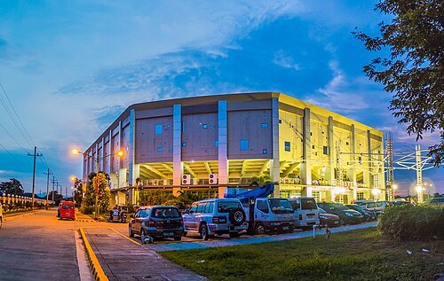
- architectural landmark
Felix Y. Manalo National Historical Landmark
- amusement park
KidZania Manila


Places to eat
No eating place in this city lists its cuisine and opening hours yet.
Nothing here matches that. Clear a filter and try again.
Opening hours and tickets: OpenStreetMap contributors. Each one shows the day a volunteer last wrote it down, so check the official site before you set out.