Cebu City: what to see and where to eat
Everything below comes from open data and each row says where it came from. We have not been to any of these places and we do not rank them.
Filters
Things to see
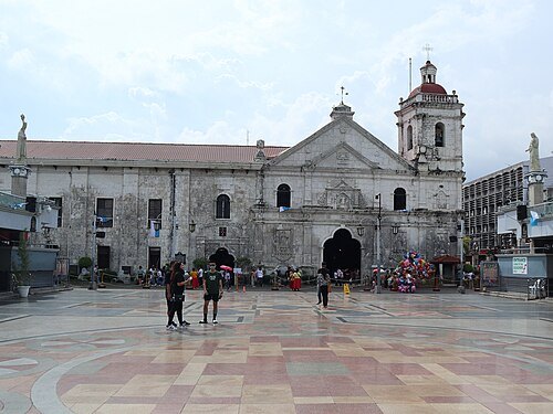 catholic parish church
Minor Basilica of the Holy Child
Roman Catholic minor basilica in Cebu City, Philippines
Getting there Nearest stop or station V-hire South Terminal, about 10 min on foot OpenStreetMap
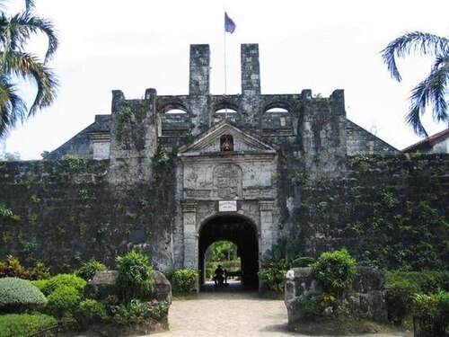
en:User:Ramirez72 / Public domain
military museumFort San Pedro
Spanish-era military fortification in Cebu City, Philippines
Getting there Nearest stop or station Passenger Terminal 1, about 4 min on foot OpenStreetMap
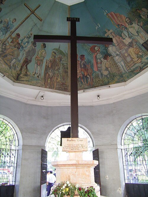 memorial cross
Magellan’s Cross
Christian cross in Cebu City
Getting there Nearest stop or station V-hire South Terminal, about 11 min on foot OpenStreetMap
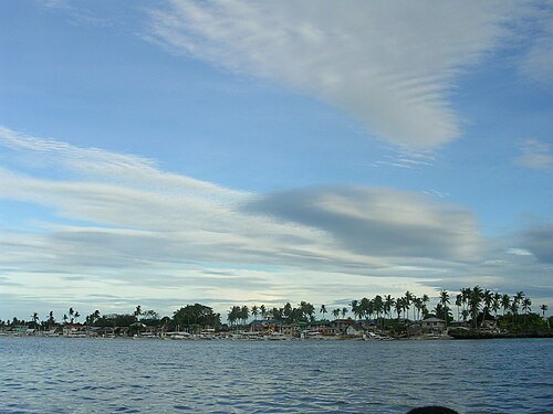 island group
Olango Island Group
group of islands in the Philippines
Getting there Nearest stop or station Santa Rosa Port, Olango, about 18 min on foot OpenStreetMap
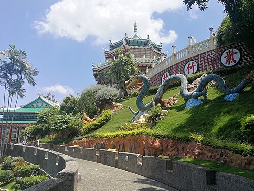
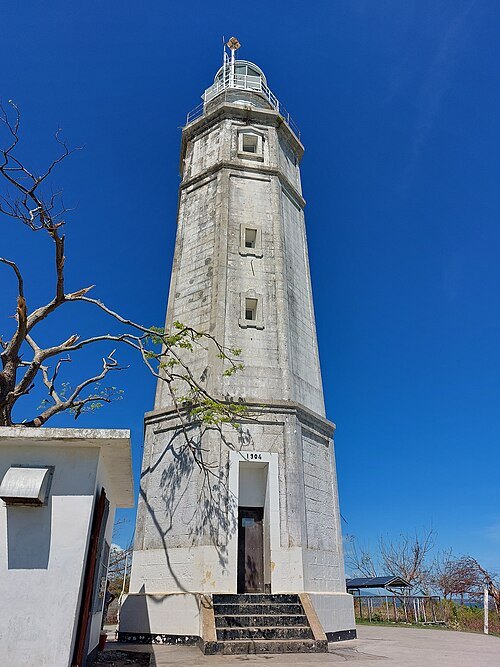
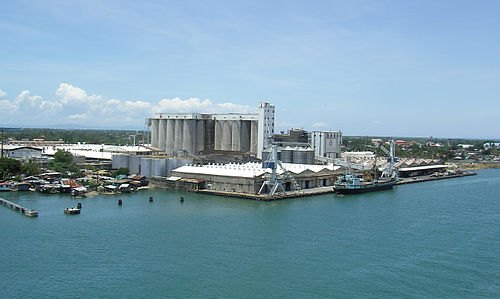 island
Mactan
island in the Philippines
Getting there Nearest stop or station Tamiya Terminal, about 6 min on foot OpenStreetMap
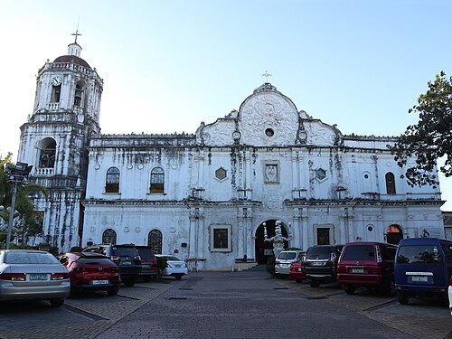 catholic cathedral
Cebu Metropolitan Cathedral
Roman Catholic cathedral in Cebu City, Philippines
Getting there Nearest stop or station V-hire South Terminal, about 8 min on foot OpenStreetMap
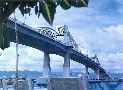 cable-stayed bridge
Marcelo Fernan Bridge
bridge in Metro Cebu
Getting there Nearest stop or station Van to SM city, about 19 min on foot OpenStreetMap
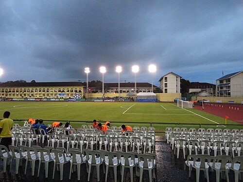 sports venue
Cebu City Sports Complex
stadium in the Philippines
Getting there Nearest stop or station CNU, about 2 min on foot OpenStreetMap
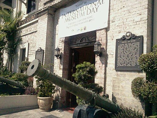 museum
Museo Sugbo
provincial museum in the Philippines
Getting there Nearest stop or station G-Mall of Cebu Terminal, about 12 min on foot OpenStreetMap
- temple
Cebu City Philippines Temple
temple of the LDS Church
Getting there Nearest stop or station Cebu IT Park Transport Terminal, about 13 min on foot OpenStreetMap
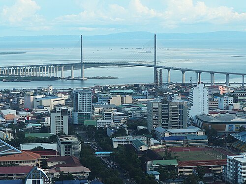 bridge
Cebu–Cordova Link Expressway
longest bridge in the Philippines
Getting there Nearest stop or station Passenger Terminal 1, about 20 min on foot OpenStreetMap
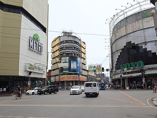 street
Colon Street
oldest street in the Philippines
Getting there Nearest stop or station V-hire South Terminal, about 5 min on foot OpenStreetMap
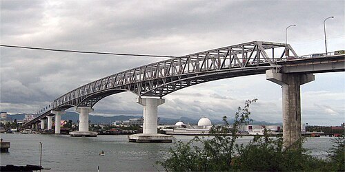
Mike Gonzalez (TheCoffee) / Public domain
road bridgeMactan-Mandaue Bridge
bridge in Metro Cebu
Getting there Nearest stop or station Lapulapu New Jeepney Terminal, about 12 min on foot OpenStreetMap
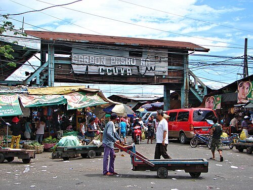 market
Carbon Market
farmer's market in Cebu City, Philippines
Getting there Nearest stop or station V-hire South Terminal, about 14 min on foot OpenStreetMap
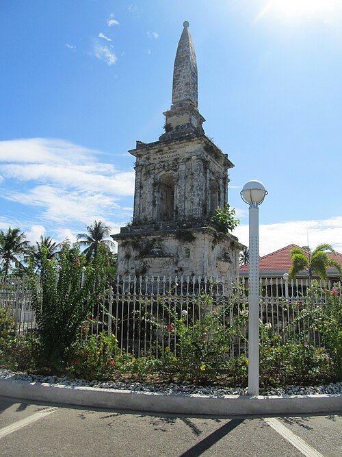 monument
Magellan Monument
monument dedicated to Ferdinand Magellan in Mactan, Philippines
Getting there Nearest stop or station Shangrila's Main Gate, about 7 min on foot OpenStreetMap
- public library
Cebu City Public Library
public library in Cebu, Philippines
Getting there Nearest stop or station Capitol, about 4 min on foot OpenStreetMap
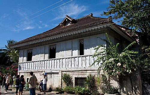 museum
Cathedral Museum of Cebu
Catholic museum in Cebu City, Philippines
Getting there Nearest stop or station V-hire South Terminal, about 8 min on foot OpenStreetMap
- city hall
Cebu City Hall
City Government building in Cebu City, Philippines
Getting there Nearest stop or station V-hire South Terminal, about 12 min on foot OpenStreetMap
- monument
Lapulapu Monument
monumental statue of Lapulapu in Mactan, Philippines
Getting there Nearest stop or station Shangrila's Main Gate, about 8 min on foot OpenStreetMap
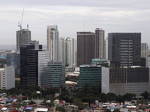 business park
Cebu Business Park
central business district in Central Visayas, Philippines
Getting there Nearest stop or station SM City Cebu UV Express Terminal, about 11 min on foot OpenStreetMap
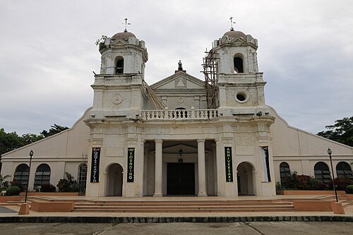
Øyvind Holmstad / CC BY-SA 4.0
catholic parish churchArchdiocesan Shrine of Santa Teresa de Avila
Roman Catholic church in Graeco-Roman architectural style located in Talisay City, Cebu
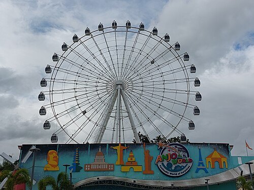
 church building
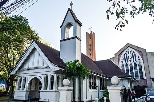
Matilda L. Bradford Memorial Church
historic church in Cebu City, Philippines
Getting there Nearest stop or station Fuente, about 5 min on foot OpenStreetMap
- urban park
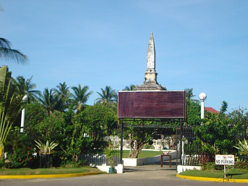
Plaza Independencia
public park in Cebu City, Philippines
Getting there Nearest stop or station Passenger Terminal 1, about 6 min on foot OpenStreetMap
Carl Frances Morano Diaman / CC BY-SA 3.0
memorialLiberty Shrine
public park and memorial in Mactan, Philippines
Getting there Nearest stop or station Shangrila's Main Gate, about 7 min on foot OpenStreetMap


Places to eat
- restaurant
Full Moon Recreation Center
Food: burger, grill, fish, breakfast, french, filipino, tea, pancake, diner, asian, sausage, chicken, american, savory pancakes, beef bowl, noodles, italian pizza, fish and chips, pasta, fine dining, coffee shop, curry, sandwich, seafood, pizza, hot dog, local, barbecue
- cafe
A Better Sip Milktea
Food: bubble tea, burger
- restaurant
Alberto's Pizza
Food: pizza, breakfast, shakes, halohalo, sodas and juices
- restaurant
Joed's Lutong Hapon
Food: japanese
- restaurant
La Parisienne
Food: european, italian, french
- restaurant
Beef Pares Ni RagDex
Food: soup
- cafe
Ctrl + tea
Food: coffee, bubble tea, cocktails
- restaurant
Hachimitsu Unli Grill & Hotpot
Food: grill, asian
- restaurant
Muelle Uno Resto Cafe
Food: regional
- cafe
Myths Coffee
Food: coffee shop
Nothing here matches that. Clear a filter and try again.
Opening hours and tickets: OpenStreetMap contributors. Each one shows the day a volunteer last wrote it down, so check the official site before you set out.