Batangas City: what to see and where to eat
Everything below comes from open data and each row says where it came from. We have not been to any of these places and we do not rank them.
Filters
Things to see
Ramon FVelasquez / CC BY-SA 3.0
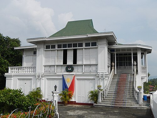
museum buildingDon Gregorio Agoncillo Mansion
ancestral house of the Agoncillos in Taal, Batangas
Ramon FVelasquez / CC BY-SA 3.0
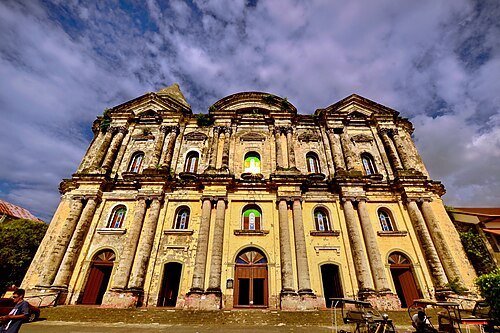
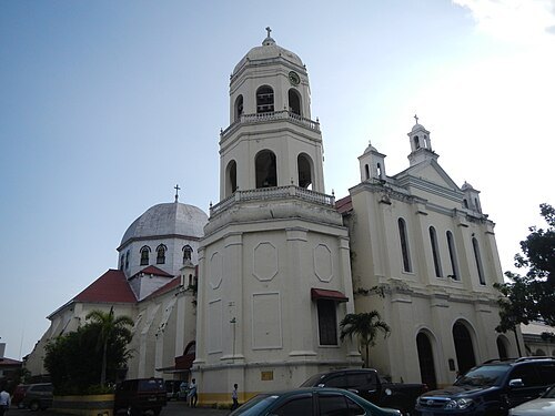
catholic parish churchMinor Basilica of the Immaculate Conception
Roman Catholic parish church in Batangas City, Philippines
Getting there Nearest stop or station SM Transport Terminal, about 14 min on foot OpenStreetMap
Taal_View_from_Tagaytay_2010.JPG: Zuanzuanfuwa derivative work: Briarfallen (talk) / CC BY-SA 3.0
Ramon FVelasquez / CC BY-SA 3.0
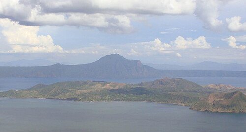
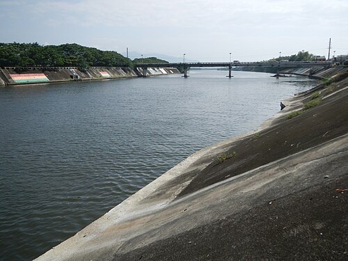
riverCalumpang River
river in the Philippines
Getting there Nearest stop or station SM Transport Terminal, about 17 min on foot OpenStreetMap
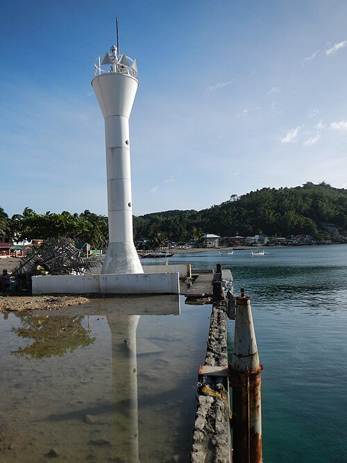
Ramon FVelasquez / CC BY-SA 3.0
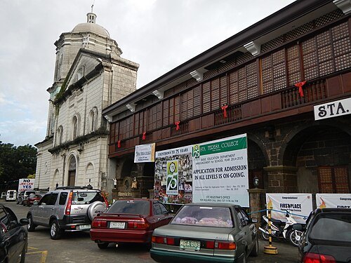
lighthouseAnilao Light
lighthouse in the Philippines
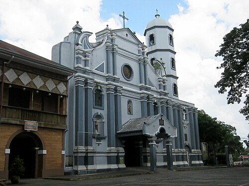 catholic parish church
Saint Joseph the Patriarch Church
Roman Catholic parish church in San Jose, Batangas, Philippines
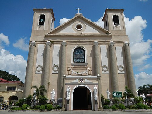
Ramon FVelasquez / CC BY-SA 3.0
catholic church buildingIbaan Church
church in Batangas, Philippines
Getting there Nearest stop or station Ibaan-Lipa UV Express Terminal, about 2 min on foot OpenStreetMap
- hill
Mount Muntingtubig
hill in the Philippines
- mountain
Mount Durungao
mountain in the Philippines
- mountain
Mount Pinamucan
mountain in the Philippines
- mountain
Mount Casapao
mountain in the Philippines
- mountain
Mount Carlo
mountain in Philippines
- mountain
Mount Babuy
mountain in Philippines
- peninsula
Calumpan Peninsula
peninsula in the Philippines
- bay
Janao Bay
bay in Batangas, Philippines
- island
Ligpo Island
island in the Philippines
- island
Nagaliling Island
island in the Philippines
- island
Puntor Island
island in the Philippines
Getting there Nearest stop or station Batangas Port Jeepney Terminal, about 10 min on foot OpenStreetMap
- river
Balibago River
river in the Philippines
- river
Balisong River
river in the Philippines
- river
Baliti River
river in the Philippines
- river
Banali River
river in the Philippines
- river
Cimlong River
river in the Philippines
- river
Cota River
river in the Philippines
Getting there Nearest stop or station Batangas Port Jeepney Terminal, about 11 min on foot OpenStreetMap
- river
Tabangao River
river in the Philippines
- hill
Tolo Hill
hill in the Philippines
- hill
San Jose Hill
hill in the Philippines
- hill
Mapolo Hill
hill in the Philippines
- hill
Bacol Hill
hill in the Philippines
- mountain
Bigain Hill
mountain in Philippines
- hill
Sorosoro Hill
hill in the Philippines
- mountain
Mount Liguayen
mountain in the Philippines
- bay
Labangan Bay
bay in Batangas, Philippines
- river
Alupay River
river in the Philippines
- river
Asinaicay River
river in the Philippines
- river
Banca-an Creek
river in the Philippines
- river
Bantoc Creek
river in the Philippines
- river
Bohol River
river in the Philippines
- river
Calbangan River
river in the Philippines
- river
Chapa River
river in the Philippines
- river
Dayapan Creek
river in the Philippines
- river
Gago River
river in the Philippines


Places to eat
- restaurant
Koirean Unlimited BBQ Grill
Food: korean
- restaurant
Krosroad
Food: filipino
- restaurant
Shakey's
Food: pizza
- restaurant
Tia Belle's Pansit Malabon and Pichi-Pichi
Food: filipino
- restaurant
Wanam sa Bukid
Food: filipino
- cafe
Bo's Coffee
Food: coffee shop
- restaurant
Eat’s Persia
Food: persian
- restaurant
GG Burgers
Food: burger
- restaurant
Kakoos Sadiq Arabian Restaurant
Food: arab
- restaurant
Samgyupsal House
Food: korean
- restaurant
Share Cafe
Food: burger, pizza, regional, chicken, coffee shop, sandwich
Nothing here matches that. Clear a filter and try again.
Opening hours and tickets: OpenStreetMap contributors. Each one shows the day a volunteer last wrote it down, so check the official site before you set out.