Cusco: what to see and where to eat
Everything below comes from open data and each row says where it came from. We have not been to any of these places and we do not rank them.
Filters
Things to see
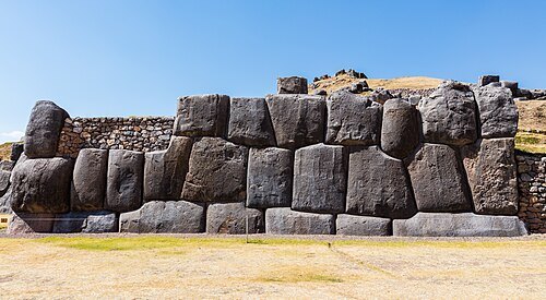
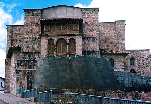
Håkan Svensson (Xauxa) / CC BY 2.5
archaeological siteCoricancha
sun temple
Getting there Nearest stop or station Pavitos. Cars to Ollantaytambo., about 7 min on foot OpenStreetMap
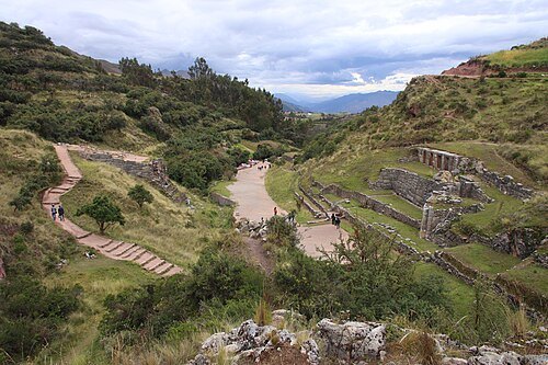 archaeological site
Tambomachay
Archaeological site in Peru
Getting there Nearest stop or station Final Cristo Blanco, about 2 min on foot OpenStreetMap
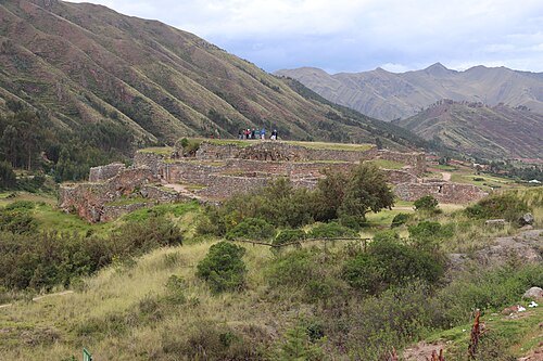 archaeological site
Puka Pukara
cultural heritage site in Peru
Getting there Nearest stop or station Final Cristo Blanco, about 5 min on foot OpenStreetMap
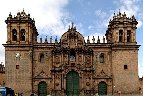
Martin St-Amant (S23678) / CC BY 3.0
catholic cathedralCusco Cathedral
mother church of the Roman Catholic Archdiocese of Cusco
Getting there Nearest stop or station Pavitos, about 13 min on foot OpenStreetMap
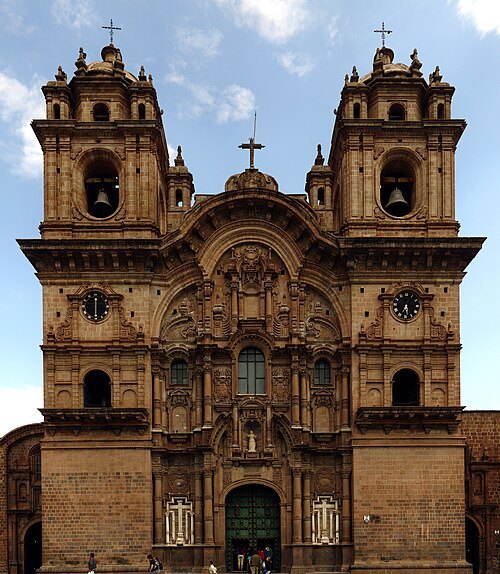
Martin St-Amant (S23678) / CC BY 3.0
jesuit churchChurch of the Society of Jesus
cultural heritage site in Peru
Getting there Nearest stop or station Pavitos, about 11 min on foot OpenStreetMap
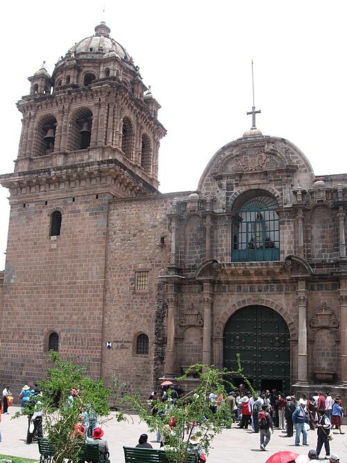 church building
Basilica of La Merced, Cusco
cultural heritage site in Peru
Getting there Nearest stop or station Pavitos, about 9 min on foot OpenStreetMap
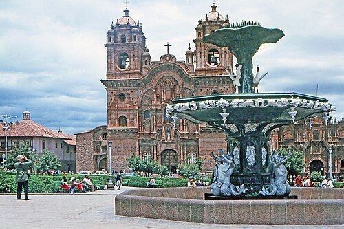 square
Plaza de Armas
square in Cusco, Peru
Getting there Nearest stop or station San Pedro, about 12 min on foot OpenStreetMap
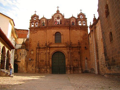
Claudia América Córdova Morales / CC BY-SA 4.0
church buildingJesus, Mary and Joseph's Church
cultural heritage site in Peru
Getting there Nearest stop or station Pavitos, about 13 min on foot OpenStreetMap
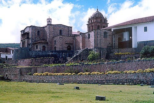
No machine-readable author provided. Xauxa assumed (based on copyright claims). / CC BY 2.5
conventConvent of Santo Domingo
cultural heritage site in Cusco, Peru
Getting there Nearest stop or station Pavitos. Cars to Ollantaytambo., about 7 min on foot OpenStreetMap
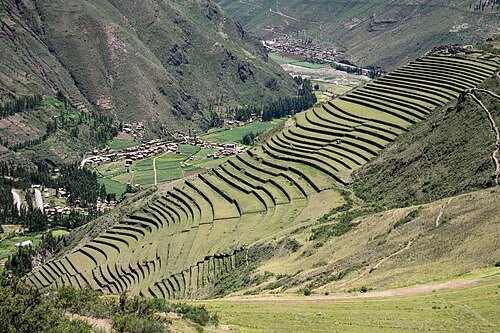
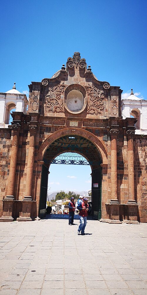 cemetery
General Cemetery of La Almudena
Graveyard in Cusco, Peru
Getting there Nearest stop or station Terminal de Buses UTRASIC, about 3 min on foot OpenStreetMap
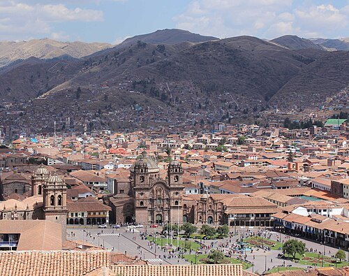 old town
Historic centre of Cusco
world Heritage Site in Peru
Getting there Nearest stop or station Pavitos, about 9 min on foot OpenStreetMap
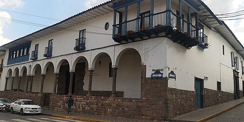 museum
Garcilaso de la Vega's House
cultural heritage site in Peru
Getting there Nearest stop or station San Pedro, about 9 min on foot OpenStreetMap
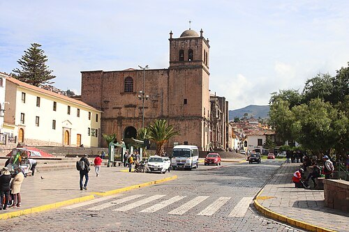 temple
San Francisco Church
catholic church of the Franciscan Order in Cusco
Getting there Nearest stop or station San Pedro, about 6 min on foot OpenStreetMap
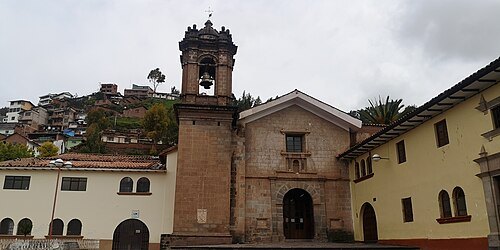 temple
Iglesia de la Recoleta
catholic church in Cuzco, Peru
Getting there Nearest stop or station Cusco - Urubamba (Puputi), about 6 min on foot OpenStreetMap
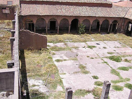 convent
Convento San Agustín
Cuzco
Getting there Nearest stop or station Pavitos. Cars to Ollantaytambo., about 12 min on foot OpenStreetMap
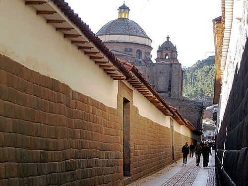
David Stanley from Nanaimo, Canada / CC BY 2.0
streetLoreto Street
street located in Cuzco (Peru).
Getting there Nearest stop or station Pavitos, about 10 min on foot OpenStreetMap
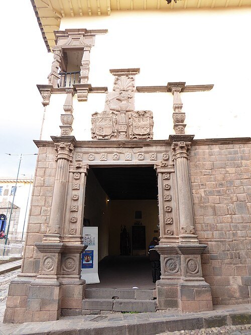 museum
Museo Inka
museum in Cusco, Peru
Getting there Nearest stop or station San Pedro, about 14 min on foot OpenStreetMap
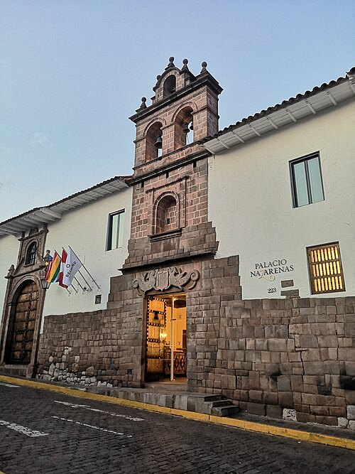 cultural property
Casa de las Sierpes
cultural heritage site in Peru
Getting there Nearest stop or station Pavitos, about 15 min on foot OpenStreetMap
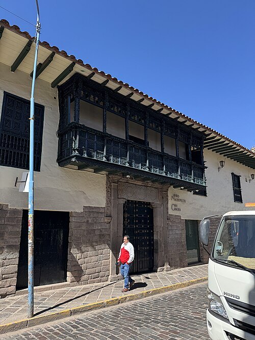 museum
Casa Concha
cultural heritage site in Peru
Getting there Nearest stop or station Pavitos, about 11 min on foot OpenStreetMap
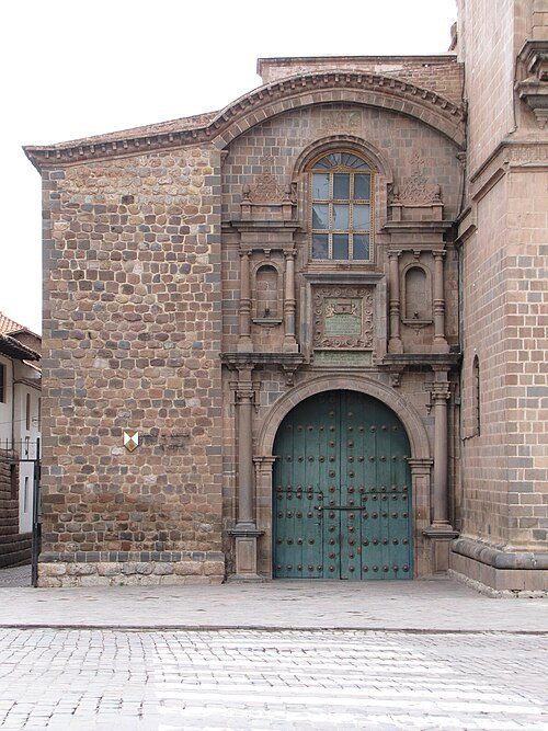 chapel
Capilla de Loreto
chapel in Cusco, Peru
Getting there Nearest stop or station Pavitos, about 11 min on foot OpenStreetMap
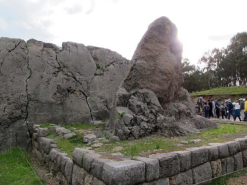
Haakon S. Krohn / CC BY-SA 3.0
archaeological siteQ'inqu
archeological site
Getting there Nearest stop or station Collectivos a Pisac Colca, about 17 min on foot OpenStreetMap
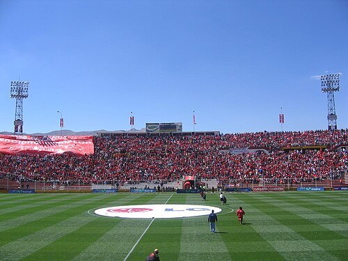
Nta3392 at English Wikipedia / CC BY-SA 3.0
association football venueEstadio Garcilaso
football stadium
Getting there Nearest stop or station Wanchaq, about 9 min on foot OpenStreetMap
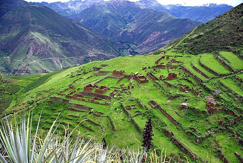
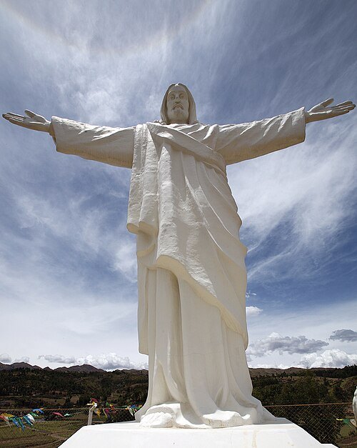
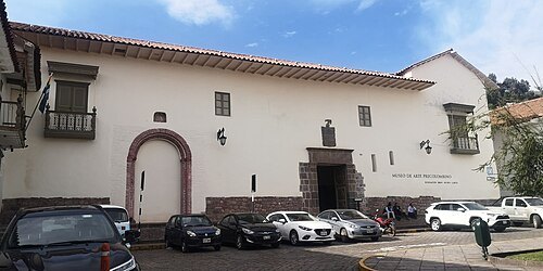 art museum
Museo de Arte Precolombino Cusco
museum in Cusco, Peru
Getting there Nearest stop or station Pavitos, about 15 min on foot OpenStreetMap
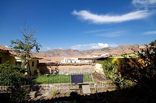
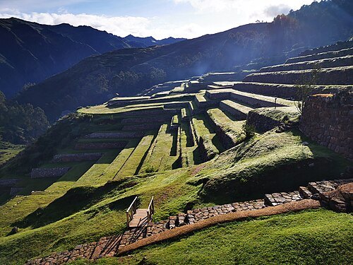 archaeological site
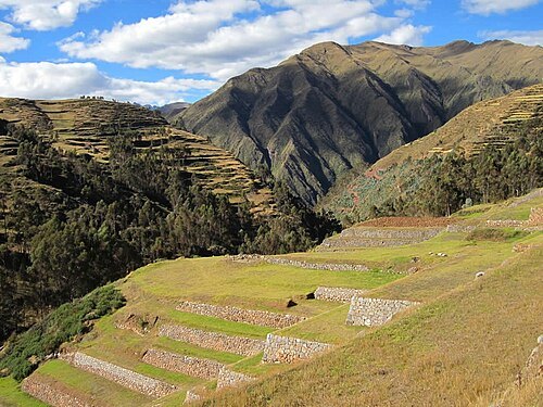
Chinchero
archaeological site in Peru
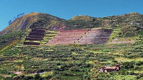
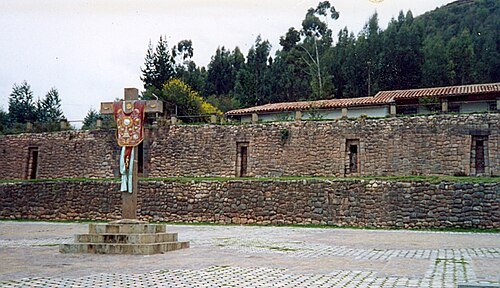 archaeological site
Colcampata
archaeological site in Peru
Getting there Nearest stop or station San Pedro, about 17 min on foot OpenStreetMap
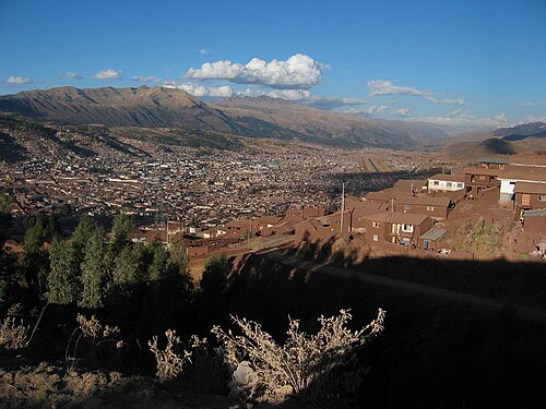
- mountain range
Puncorayac
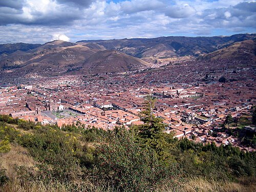
Photo taken by David McGregor (Macdave73 at en.wikipedia) / Public domain
mountainAraway Qhata
mountain in Peru
Getting there Nearest stop or station Terminal Terrestre de Cusco, about 16 min on foot OpenStreetMap
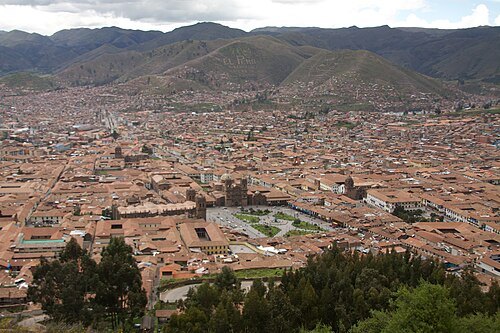
- mountain range
Arco-punco
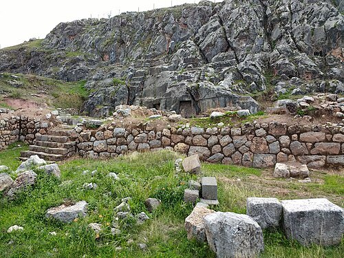
 lake
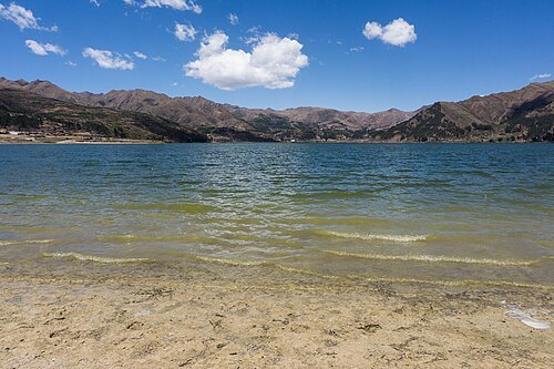
Lake Piuray
lake in Cusco, Peru
 archaeological site
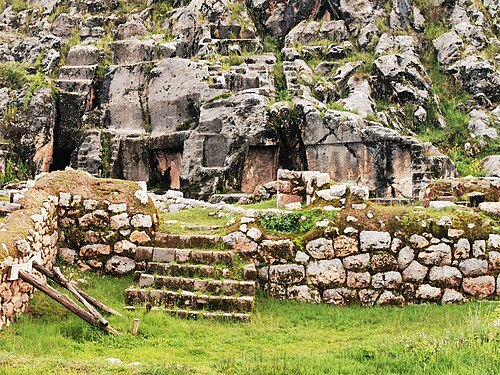
Laq'o
archaeological site in Peru
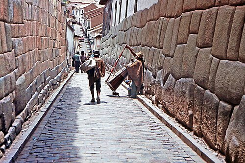 street
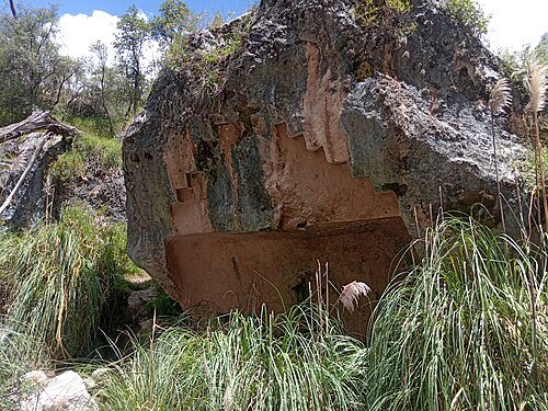
Hatun Rumiyoc
street in Cusco, Peru
Getting there Nearest stop or station Pavitos, about 14 min on foot OpenStreetMap
- river
Tullumayo River
river in Cusco, Peru
Getting there Nearest stop or station Pavitos. Cars to Ollantaytambo., about 14 min on foot OpenStreetMap


Places to eat
- restaurant
Yokomo Restaurant Cusco
Food: asian, fish, ice cream, japanese, oriental, ramen, tea, peruvian, soup, sushi, drinks, cocktail
- cafe
Aymura Tea & Coffee
Food: regional, peruvian, coffee shop
- restaurant
Chakruna
Food: burger, sandwich
- restaurant
Mama Seledonia
Food: peruvian
- restaurant
Morena Peruvian Kitchen
Food: peruvian
Nothing here matches that. Clear a filter and try again.
Opening hours and tickets: OpenStreetMap contributors. Each one shows the day a volunteer last wrote it down, so check the official site before you set out.