Chiclayo: what to see and where to eat
Everything below comes from open data and each row says where it came from. We have not been to any of these places and we do not rank them.
Filters
Things to see
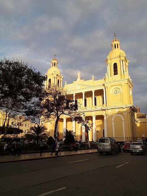
Cifras Confiables / CC BY-SA 4.0
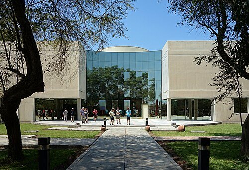
cathedralSt. Mary's Cathedral
cathedral in Chiclayo, Peru, serving as the seat of the Roman Catholic Diocese of Chiclayo
Getting there Nearest stop or station Oltursa, about 13 min on foot OpenStreetMap
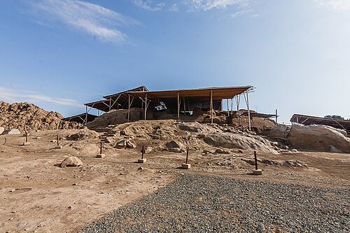
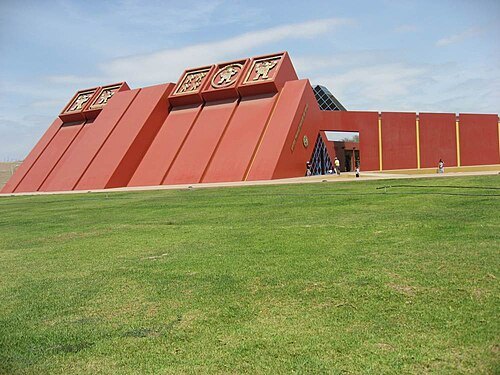
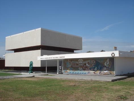
 church building
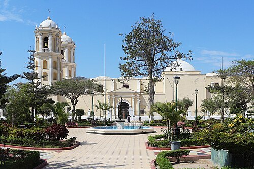
Cathedral of Lambayeque
cultural heritage site in Peru
 church building
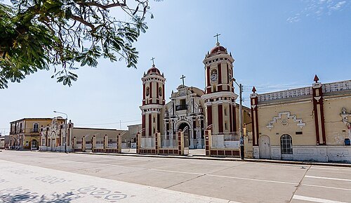
iglesia de Santa Lucía
Ferreñafe
 cultural property
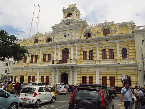
Palacio Municipal, Chiclayo
cultural heritage site in Peru
Getting there Nearest stop or station Oltursa, about 12 min on foot OpenStreetMap
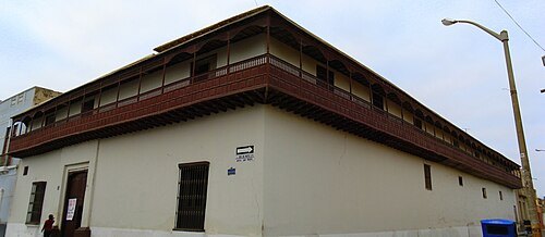 cultural property
Casa Montjoy
cultural heritage site in Peru
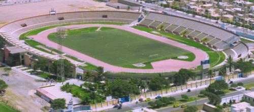 association football venue
Estadio Elías Aguirre
football stadium
Getting there Nearest stop or station Turela, about 6 min on foot OpenStreetMap
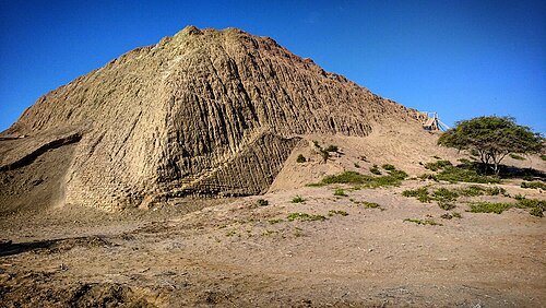
- wetland
Eten Wetlands
coastal wetland in Lambayeque, Peru.
- wetland
San José Wetlands
coastal wetland in Lambayeque, Peru
- hill
Cerro Luya
- hill
Cerro Combo
- hill
Cerro Cantera
- hill
Cerro San José
- mountain
Cerro Negro
mountain in Lambayeque, Peru
- mountain
Cerro Chupayal
mountain in Peru
- hill
Cerro Morro de Eten
- hill
Cerro Colorado
- hill
Cerro Molino de Viento
Getting there Nearest stop or station Terminal Marañón/Gacela, about 17 min on foot OpenStreetMap
- hill
Cerro Ventarrón
- mountain
Cerro Reque
mountain in Peru
- cemetery
Cementerio El Carmen
cemetery in Peru
- forest reserve
Montes de la Virgen forest reserve


Places to eat
Nothing here matches that. Clear a filter and try again.
Opening hours and tickets: OpenStreetMap contributors. Each one shows the day a volunteer last wrote it down, so check the official site before you set out.