Qalqilya: what to see and where to eat
Everything below comes from open data and each row says where it came from. We have not been to any of these places and we do not rank them.
Filters
Things to see
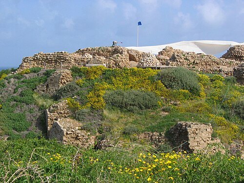
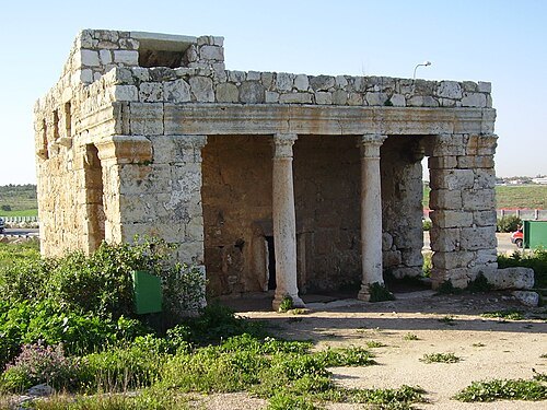
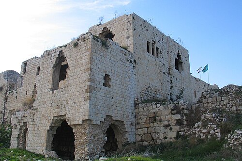 archaeological site
Migdal Afek
National park, Jewish settlement in the land of Israel from the second temple period
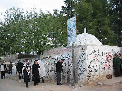
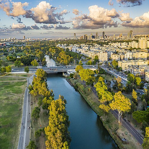 river
Yarkon River
river in central Israel
Getting there Nearest stop or station Reading bus terminal, about 10 min on foot OpenStreetMap
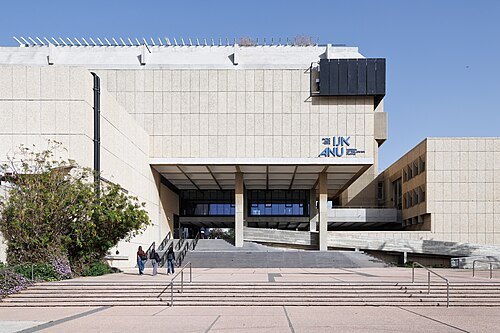 history museum
Museum of the Jewish People at Beit Hatfutsot
museum in Israel
Getting there Nearest stop or station Tel Aviv University Bus Terminal, about 6 min on foot OpenStreetMap
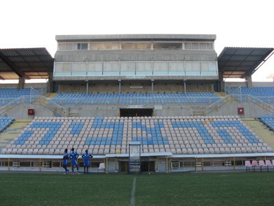
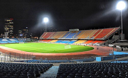 association football venue
Ramat Gan Stadium
football stadium in the Tel Aviv District, Israel
Getting there Nearest stop or station Ayalon Mall Bus Terminal, about 3 min on foot OpenStreetMap
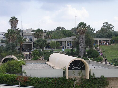 museum
Eretz Israel Museum
historical and archeological museum in Tel Aviv, Israel
Getting there Nearest stop or station Tel Aviv University, about 12 min on foot OpenStreetMap
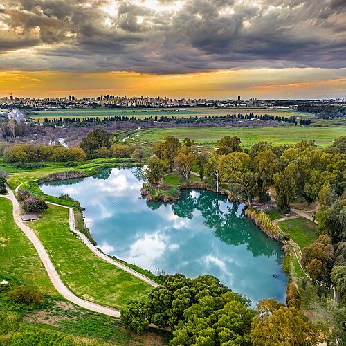
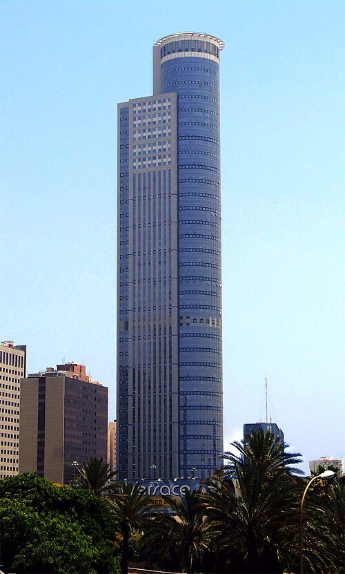 skyscraper
Moshe Aviv Tower
skyscraper in Ramat Gan, Israel
Getting there Nearest stop or station Abba Hillel, about 2 min on foot OpenStreetMap
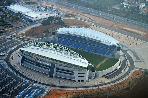
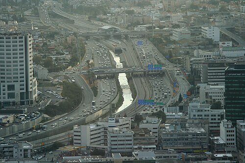
Beivushtang at English Wikipedia / CC BY-SA 3.0
riverAyalon River
river in central Israel
Getting there Nearest stop or station Tel Aviv University, about 8 min on foot OpenStreetMap
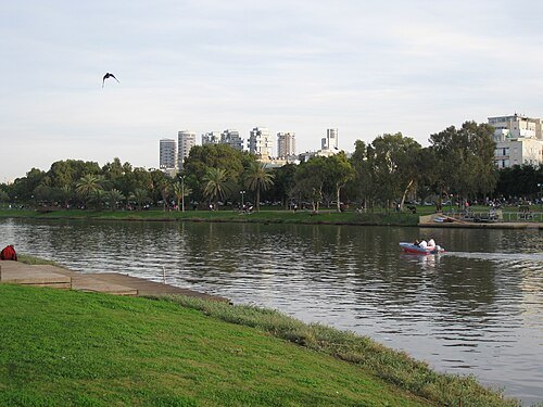 urban park
Yarkon Park
public urban park in Tel Aviv, Israel
Getting there Nearest stop or station Tel Aviv University, about 10 min on foot OpenStreetMap
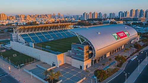 stadium
HaMoshava Stadium
football stadium in Petah Tikva, Israel
Getting there Nearest stop or station Petah Tikva–Kiryat Aryeh, about 5 min on foot OpenStreetMap
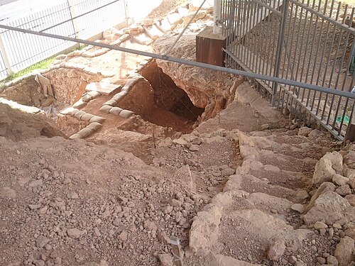
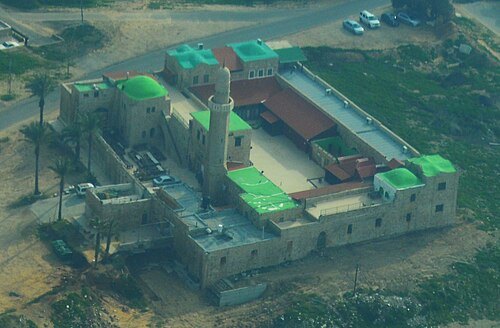
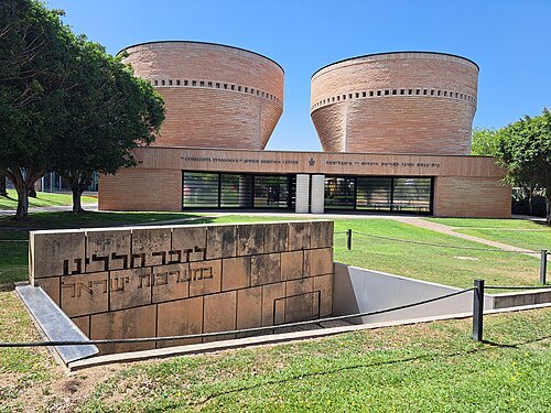 synagogue
Cymbalista Synagogue and Jewish Heritage Center
synagogue of Tel Aviv University
Getting there Nearest stop or station Tel Aviv University Bus Terminal, about 8 min on foot OpenStreetMap
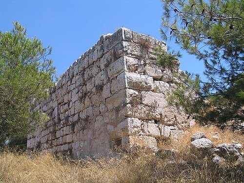
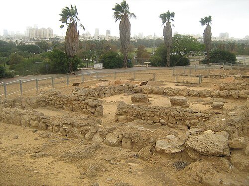 archaeological site
Tell Qasile
archaeological site in Tel Aviv District, Israel
Getting there Nearest stop or station Tel Aviv University, about 16 min on foot OpenStreetMap
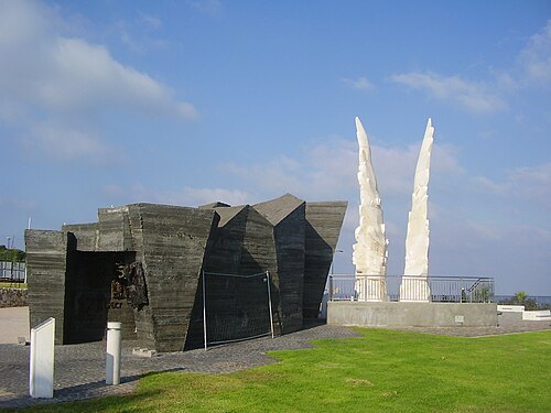
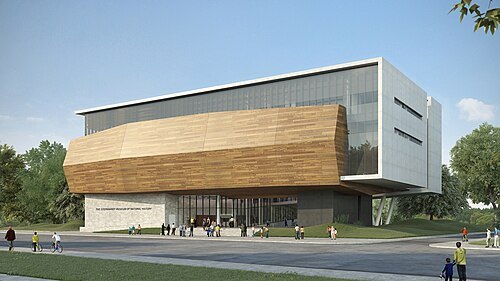
תכנון: קימל אשכולות אדריכלים, הדמייה ממוחשבת – סטודיו בונסאי / CC BY-SA 4.0
museumSteinhardt Museum of Natural History
natural history museum in Tel Aviv, Israel
Getting there Nearest stop or station Tel Aviv University Bus Terminal, about 8 min on foot OpenStreetMap
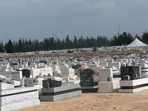 jewish cemetery
Yarkon Cemetery
cemetery in Israel
Getting there Nearest stop or station Kiryat Aryeh light rail station, about 19 min on foot OpenStreetMap
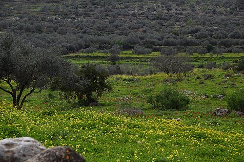
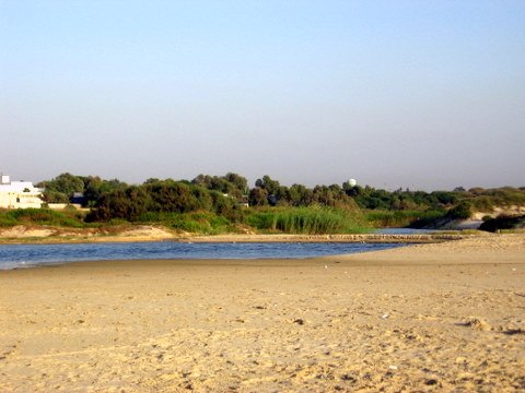
- history museum
Palmach Museum
Museum in Tel Aviv, Israel
Getting there Nearest stop or station Tel Aviv University, about 8 min on foot OpenStreetMap
- war cemetery
Kiryat Shaul Cemetery
national cemetery in Northern Tel Aviv, Israel
Getting there Nearest stop or station חניון אוטובוסים, about 11 min on foot OpenStreetMap
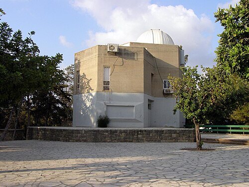
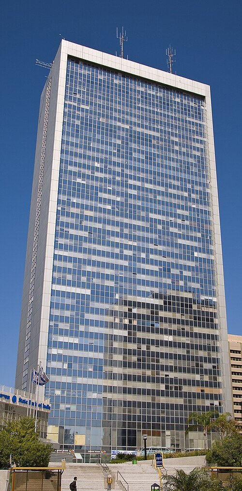 skyscraper
Diamond Tower
skyscraper located in the city of Ramat Gan, Israel
Getting there Nearest stop or station Aba Hilel Station, about 2 min on foot OpenStreetMap
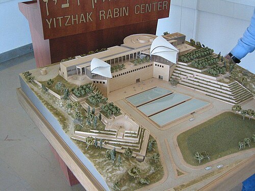 museum
Yitzhak Rabin Center
library and research center in Tel Aviv, Israel
Getting there Nearest stop or station Tel Aviv University, about 6 min on foot OpenStreetMap
- sports venue
National Sport Center Tel Aviv
sports venue
Getting there Nearest stop or station Ayalon Mall Bus Terminal, about 11 min on foot OpenStreetMap
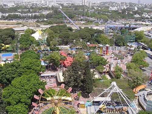 amusement park
Luna Park, Tel Aviv
amusement park complex in Tel Aviv Fairgrounds
Getting there Nearest stop or station Tel Aviv University, about 12 min on foot OpenStreetMap
E-tai at Hebrew Wikipedia / Public domain
stadiumHerzliya Municipal Stadium
football stadium in Herzliya
Getting there Nearest stop or station Herzelia, about 13 min on foot OpenStreetMap
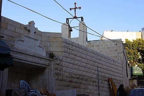 church building
Church of Saint George (Tulkarm)
Historic church in the West Bank in the State of Palestine
Getting there Nearest stop or station كراجات القديمة(كراجات نابلس القديمة), about 1 min on foot OpenStreetMap
- skyscraper
Bein Arim Tower
planned skyscraper in Tel Aviv
Getting there Nearest stop or station Arlozoroff, about 4 min on foot OpenStreetMap
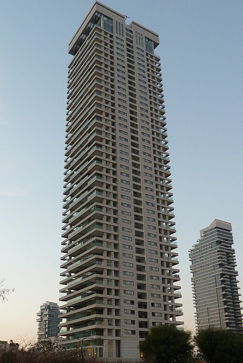 tower block
W Tower
Getting there Nearest stop or station Tel Aviv Savidor Center, about 7 min on foot OpenStreetMap
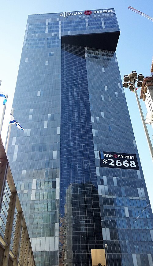 skyscraper
Amot Atrium Tower
tower in Ramat Gan, Israel
Getting there Nearest stop or station Aba Hilel Station, about 2 min on foot OpenStreetMap
 association football venue
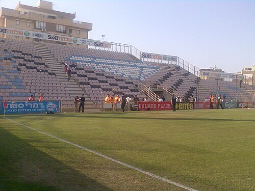
Sar-Tov Stadium
demolished football stadium in Netanya
Getting there Nearest stop or station Netanya Central Bus Station, about 13 min on foot OpenStreetMap
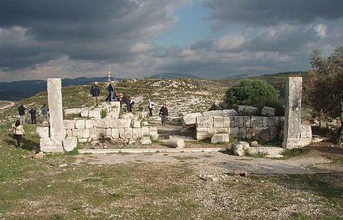
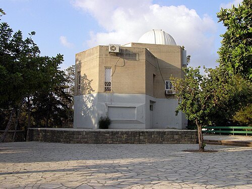
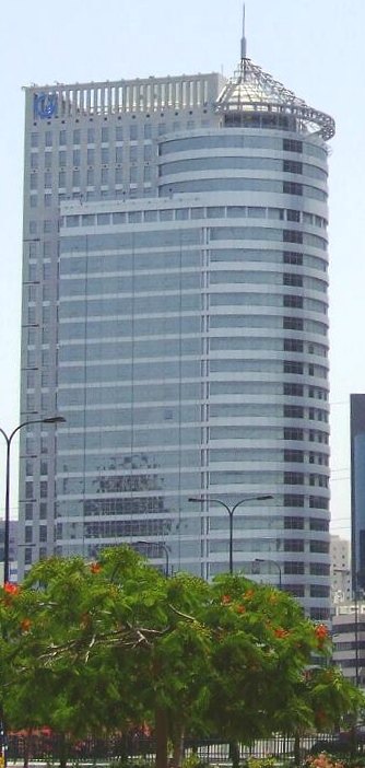 skyscraper
Gibor Sport House
office building in Ramat Gan, Israel
Getting there Nearest stop or station Bialik, about 9 min on foot OpenStreetMap
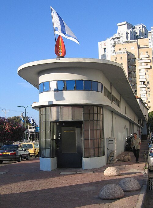 museum
Ramat Gan Museum of Israeli Art
art museum in Tel Aviv District, Israel
Getting there Nearest stop or station Ben Gurion Light Rail Station, about 9 min on foot OpenStreetMap
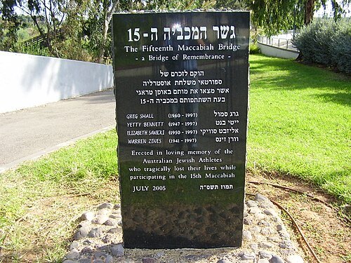 bridge failure
Maccabiah bridge collapse
disaster in Israel
Getting there Nearest stop or station Ayalon Mall Bus Terminal, about 6 min on foot OpenStreetMap
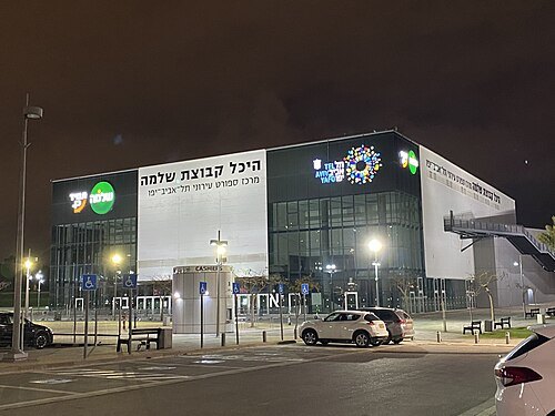 arena
Drive in Arena
sports arena in Tel Aviv
Getting there Nearest stop or station Tel Aviv University, about 13 min on foot OpenStreetMap
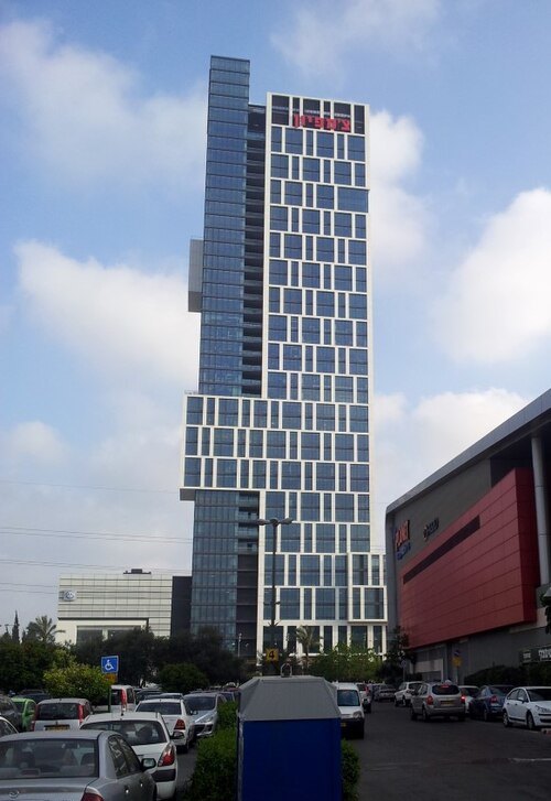 skyscraper
Champion Motors Tower
skyscraper in Bnei Brak, Israel
Getting there Nearest stop or station Ayalon Mall Bus Terminal, about 4 min on foot OpenStreetMap
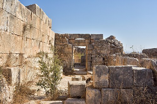
- arboretum
Shemurat Ilanot
- amusement park
Mega Land, Tulkarm


Places to eat
No eating place in this city lists its cuisine and opening hours yet.
Nothing here matches that. Clear a filter and try again.
Opening hours and tickets: OpenStreetMap contributors. Each one shows the day a volunteer last wrote it down, so check the official site before you set out.