Jerusalem: what to see and where to eat
Everything below comes from open data and each row says where it came from. We have not been to any of these places and we do not rank them.
Filters
Things to see
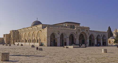 mosque
Al-Aqsa Mosque
the main prayer hall of the Al-Aqsa mosque compound in Jerusalem
Getting there Nearest stop or station Mini buses to Jordan border, about 14 min on foot OpenStreetMap
Abdallah Khader / CC BY-SA 4.0
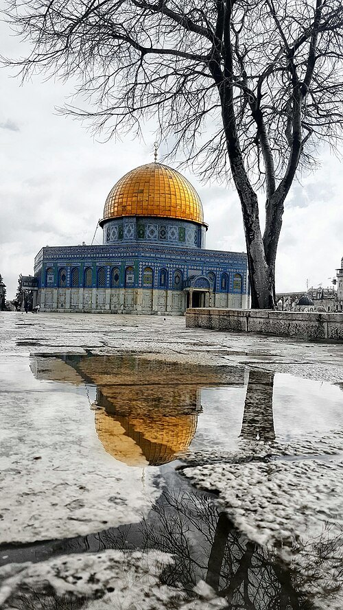
mosqueDome of the Rock
Islamic building in Al-Aqsa, Jerusalem
Getting there Nearest stop or station Mini buses to Jordan border, about 10 min on foot OpenStreetMap
- archaeological site
Western Wall
holy site of Judaism in Jerusalem
Getting there Nearest stop or station Mini buses to Jordan border, about 11 min on foot OpenStreetMap
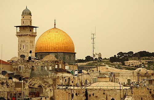 old town
Old City of Jerusalem
walled area within the modern city of Jerusalem
Getting there Nearest stop or station Jaffa Gate, about 11 min on foot OpenStreetMap
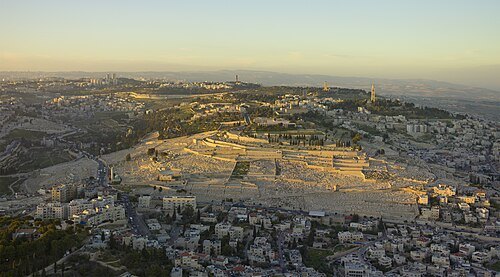
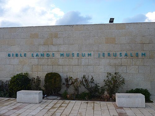
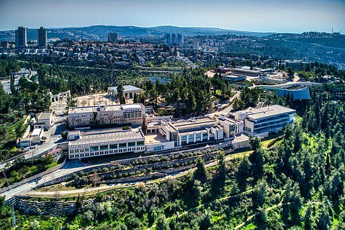
Hagai Agmon-Snir حچاي اچمون-سنير חגי אגמון-שניר / CC BY-SA 4.0
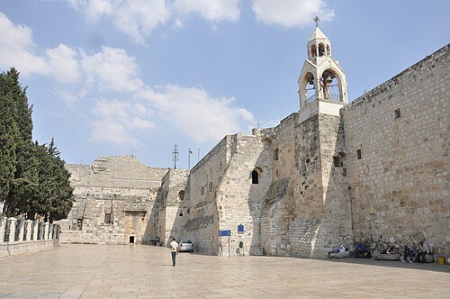
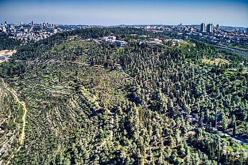
Hagai Agmon-Snir حچاي اچمون-سنير חגי אגמון-שניר / CC BY-SA 4.0
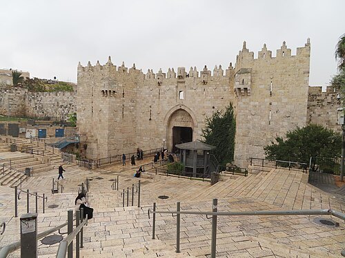 city gate
Damascus Gate
one of seven open Gates in Jerusalem's Old City Walls
Getting there Nearest stop or station Sherut Tel Aviv, about 2 min on foot OpenStreetMap
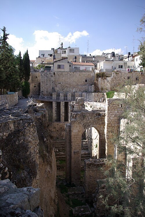
Berthold Werner / Public domain
archaeological sitePool of Bethesda
reservoir in Jerusalem
Getting there Nearest stop or station Mini buses to Jordan border, about 6 min on foot OpenStreetMap
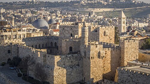 citadel
Tower of David
ancient citadel in Walls of Jerusalem, and the Jerusalem Museum
Getting there Nearest stop or station Jaffa Gate, about 2 min on foot OpenStreetMap
 church building
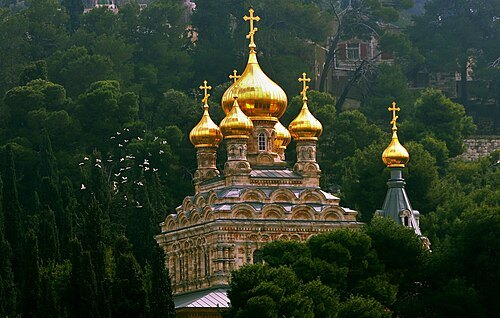
Church of Mary Magdalene
church building in East Jerusalem
Getting there Nearest stop or station Mini buses to Jordan border, about 15 min on foot OpenStreetMap
Berthold Werner / CC BY-SA 3.0
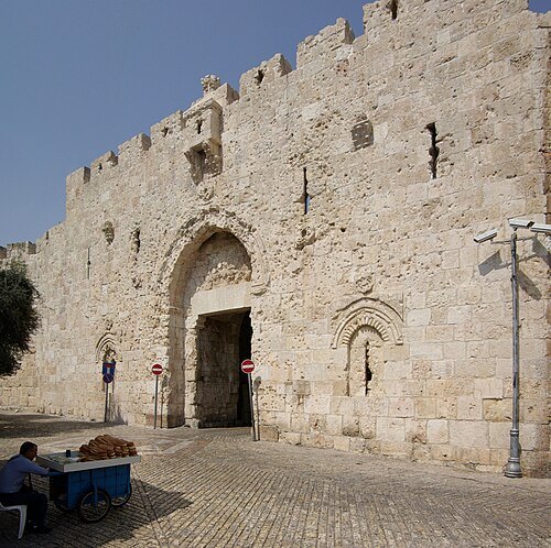
city gateZion Gate
one of seven open Gates in Jerusalem's Old City Walls
Getting there Nearest stop or station Jaffa Gate, about 8 min on foot OpenStreetMap
Berthold Werner / Public domain
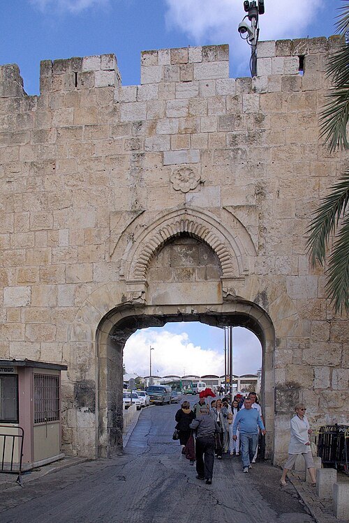
city gateDung Gate
one of seven open Gates in Jerusalem's Old City Walls
Getting there Nearest stop or station Jaffa Gate, about 12 min on foot OpenStreetMap
Attribution for use of this image: Chesdovi (London, UK) / CC BY-SA 3.0
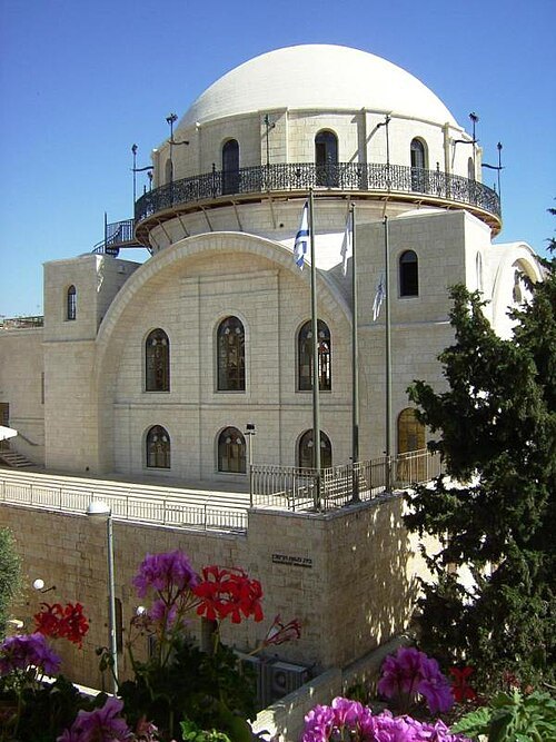
synagogueHurva Synagogue
synagogue
Getting there Nearest stop or station Jaffa Gate, about 8 min on foot OpenStreetMap
 city gate
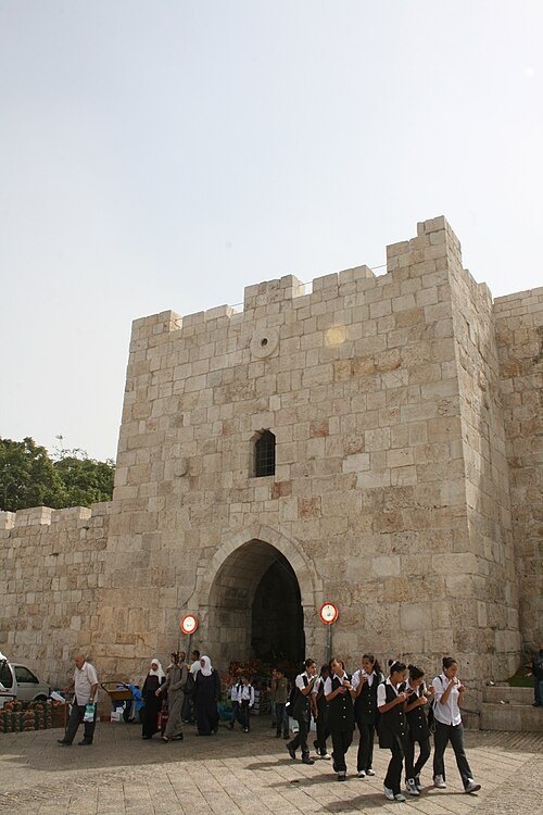
Herod's Gate
one of seven open Gates in Jerusalem's Old City Walls
Getting there Nearest stop or station Mini buses to Jordan border, about 3 min on foot OpenStreetMap
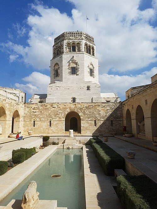 archaeological museum
Rockefeller Museum
archaeological museum located in East Jerusalem
Getting there Nearest stop or station Mini buses to Jordan border, about 6 min on foot OpenStreetMap
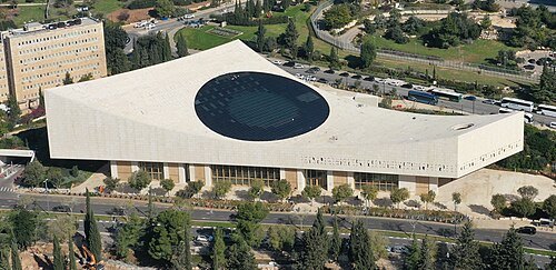 public library
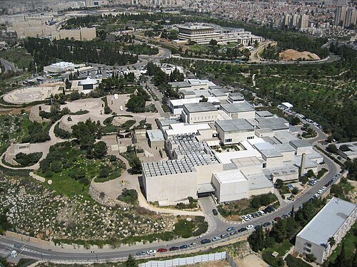
National Library of Israel
national library in Israel
Getting there Nearest stop or station Jerusalem - Yitzhak Navon, about 18 min on foot OpenStreetMap
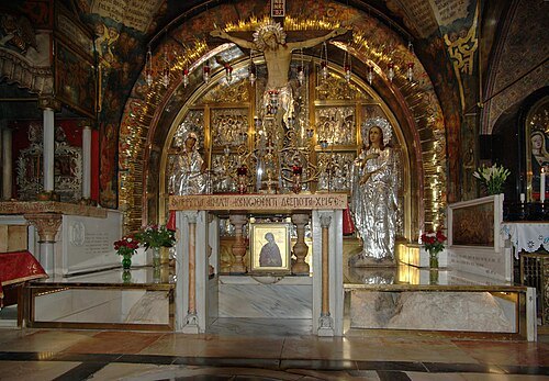
Berthold Werner / CC BY-SA 3.0
hillCalvary
site outside Jerusalem where Jesus was crucified according to the Gospels
Getting there Nearest stop or station Jaffa Gate, about 5 min on foot OpenStreetMap
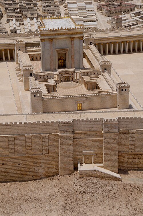
Sarah Murray from South Bend, IN, USA / CC BY-SA 2.0
templeTemple in Jerusalem
Structures on the Temple Mount in Jerusalem serving as Israelite religious centers
Getting there Nearest stop or station Mini buses to Jordan border, about 11 min on foot OpenStreetMap
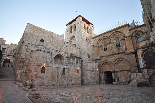
https://www.flickr.com/photos/jlascar/ / CC BY 2.0
architectural heritage monumentChurch of the Holy Sepulchre
church in Jerusalem, containing the two holiest sites in Christianity
Getting there Nearest stop or station Jaffa Gate, about 6 min on foot OpenStreetMap
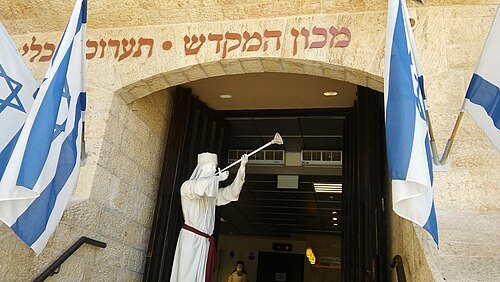 museum
The Temple Institute
organization in Jerusalem
Getting there Nearest stop or station Jaffa Gate, about 10 min on foot OpenStreetMap
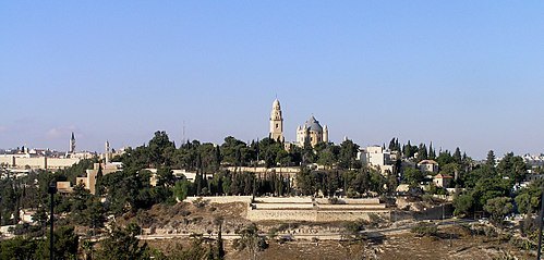 hill
Mount Zion
hill in Jerusalem
Getting there Nearest stop or station Jaffa Gate, about 9 min on foot OpenStreetMap
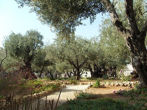 garden
Gethsemane
garden at the foot of the Mount of Olives in Jerusalem
Getting there Nearest stop or station Mini buses to Jordan border, about 13 min on foot OpenStreetMap
- ancient city
City of David
archaeological site in Jerusalem
Getting there Nearest stop or station Jaffa Gate, about 14 min on foot OpenStreetMap
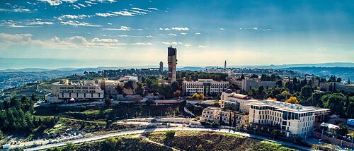
Hagai Agmon-Snir حچاي اچمون-سنير חגי אגמון-שניר / CC BY-SA 4.0
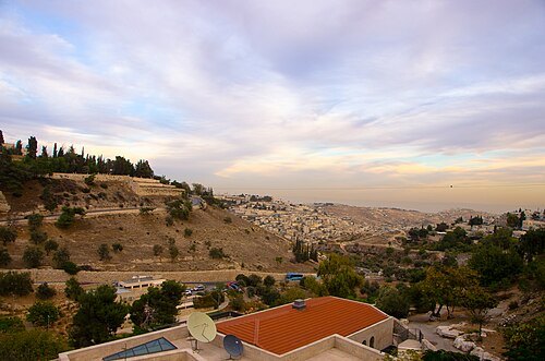
Michal Levinsky / CC BY-SA 3.0
valleyGehenna
small valley located in Jerusalem
Getting there Nearest stop or station Jaffa Gate, about 13 min on foot OpenStreetMap
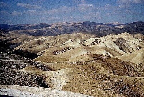
The original uploader was Effib at Hebrew Wikipedia. / CC BY-SA 3.0
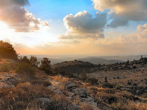
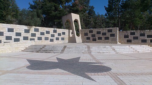
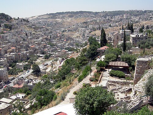 valley
Kidron Valley
valley on the eastern side of The Old City of Jerusalem
Getting there Nearest stop or station Mini buses to Jordan border, about 15 min on foot OpenStreetMap
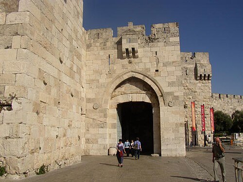
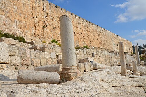
Carole Raddato from FRANKFURT, Germany / CC BY-SA 2.0
ancient cityAelia Capitolina
former Roman colony
Getting there Nearest stop or station Jaffa Gate, about 7 min on foot OpenStreetMap
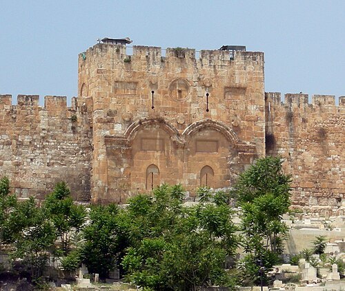 city gate
Golden Gate
architectural structure; Gate of ancient city wall of Jerusalem
Getting there Nearest stop or station Mini buses to Jordan border, about 10 min on foot OpenStreetMap
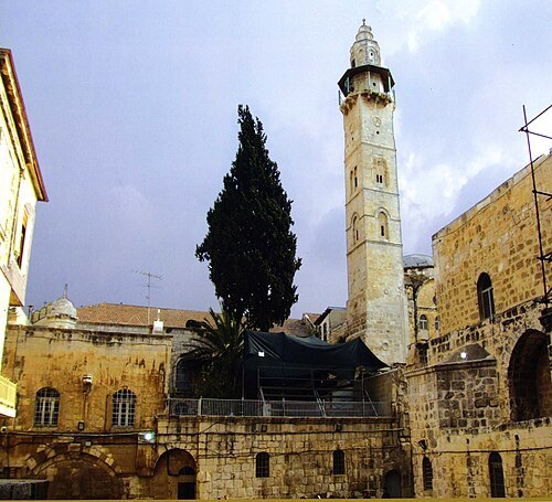
Usmanreddy at en.wikipedia / CC BY-SA 3.0
mosqueMosque of Omar
mosque in the Islamic Quarter of Jerusalem
Getting there Nearest stop or station Jaffa Gate, about 5 min on foot OpenStreetMap
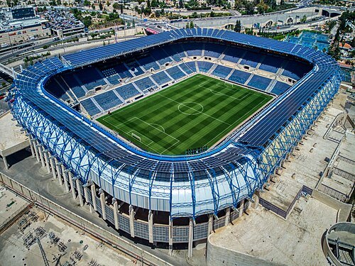
Hagai Agmon-Snir حچاي اچمون-سنير חגי אגמון-שניר / CC BY-SA 4.0
association football venueTeddy Stadium
football stadium in Jerusalem, Israel
Getting there Nearest stop or station Jerusalem Malcha, about 7 min on foot OpenStreetMap
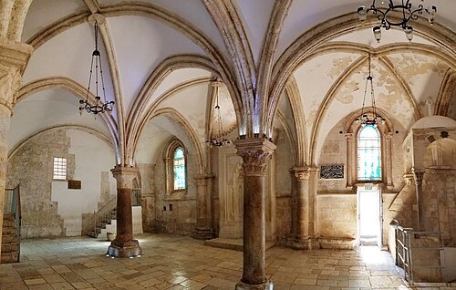 church building
Cenacle
in Christian tradition, the room in which the Last Supper was held
Getting there Nearest stop or station Jaffa Gate, about 10 min on foot OpenStreetMap
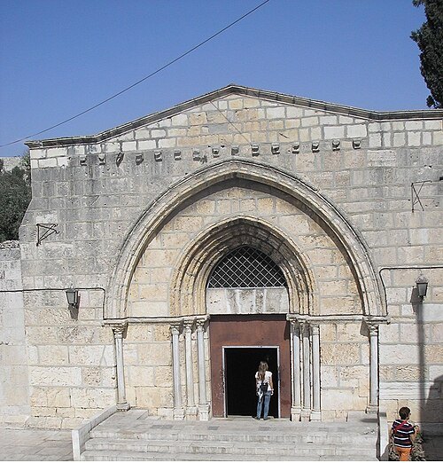 eastern orthodox church building
Tomb of the Virgin Mary
church building in Jerusalem
Getting there Nearest stop or station Mini buses to Jordan border, about 12 min on foot OpenStreetMap
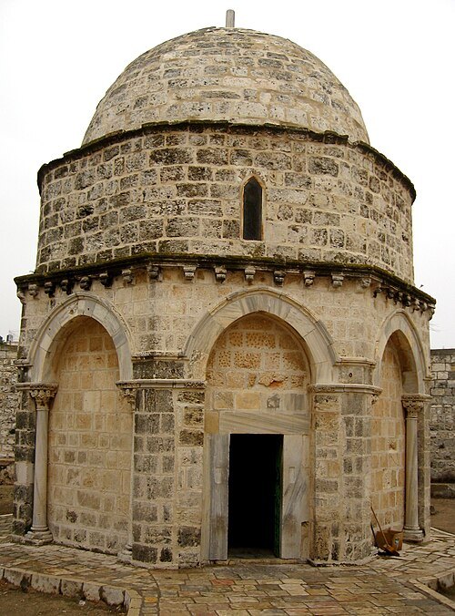
en:user:adriatikus / CC BY-SA 3.0
chapelChapel of the Ascension
shrine in Jerusalem
Getting there Nearest stop or station Mini buses to Jordan border, about 20 min on foot OpenStreetMap
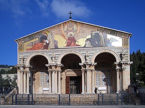
Karsten Müller, User Etc. gamma on de.wikipedia / Public domain
catholic church buildingChurch of All Nations
Catholic church in the Valley of Josaphat in Jerusalem, consecrated in 1924
Getting there Nearest stop or station Mini buses to Jordan border, about 13 min on foot OpenStreetMap
- spring
Gihon Spring
main source of water for the Pool of Siloam in the City of David
Getting there Nearest stop or station Jaffa Gate, about 16 min on foot OpenStreetMap
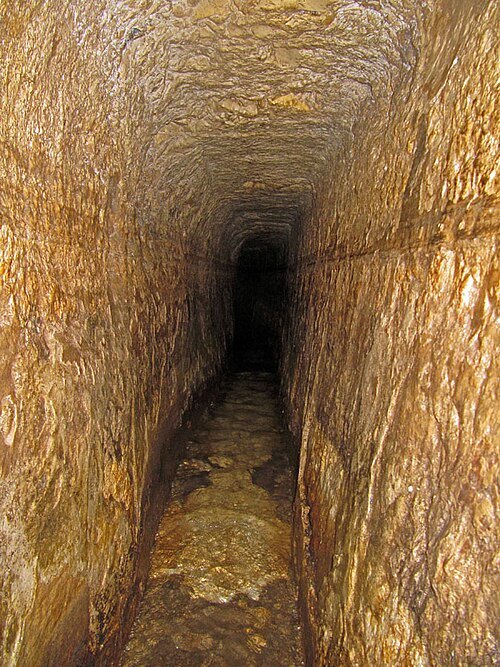
Tamar Hayardeni תמר הירדני / CC BY 3.0
archaeological siteHezekiah's Tunnel
Ancient underground water tunnel in Jerusalem
Getting there Nearest stop or station Jaffa Gate, about 16 min on foot OpenStreetMap
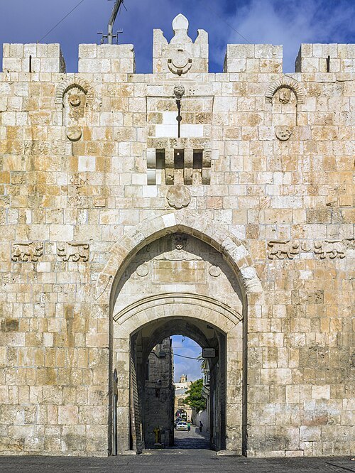 city gate
Lions' Gate
one of seven open Gates in Jerusalem's Old City Walls
Getting there Nearest stop or station Mini buses to Jordan border, about 8 min on foot OpenStreetMap
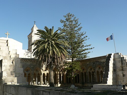
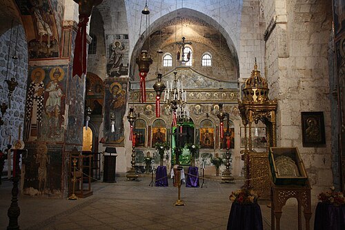
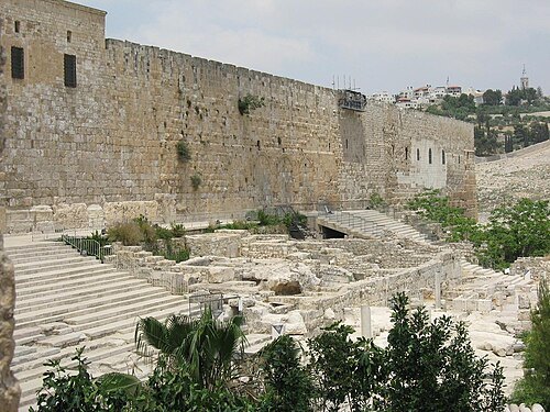 archaeological site
Acra
ancient fortress in Jerusalem
Getting there Nearest stop or station Jaffa Gate, about 16 min on foot OpenStreetMap
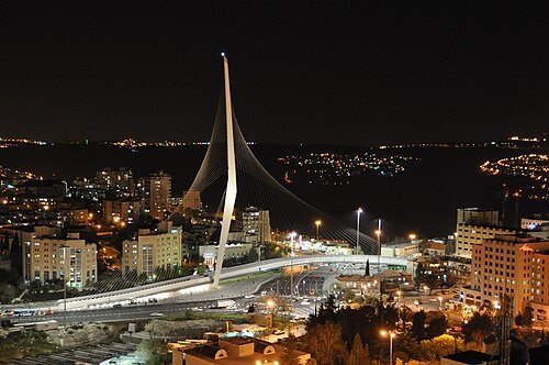 tram bridge
Jerusalem Chords Bridge
bridge in Jerusalem, Israel
Getting there Nearest stop or station Jerusalem – Yitzhak Navon Railway Station, about 4 min on foot OpenStreetMap
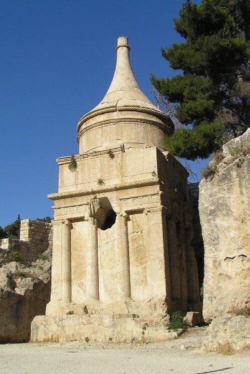
No machine-readable author provided. Eman assumed (based on copyright claims). / Public domain
archaeological siteTomb of Absalom
ancient monumental rock-cut tomb in East Jerusalem
Getting there Nearest stop or station Mini buses to Jordan border, about 15 min on foot OpenStreetMap
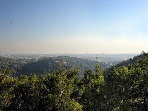
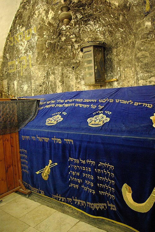
Berthold Werner / Public domain
mausoleumDavid's Tomb
architectural structure
Getting there Nearest stop or station Jaffa Gate, about 10 min on foot OpenStreetMap


Places to eat
- restaurant
al Liwan
Food: lebanese, palestinian
- cafe
חוויה מוסיקלית ותיאטרלית קלילה
Food: coffee shop
Nothing here matches that. Clear a filter and try again.
Opening hours and tickets: OpenStreetMap contributors. Each one shows the day a volunteer last wrote it down, so check the official site before you set out.