Hebron: what to see and where to eat
Everything below comes from open data and each row says where it came from. We have not been to any of these places and we do not rank them.
Filters
Things to see
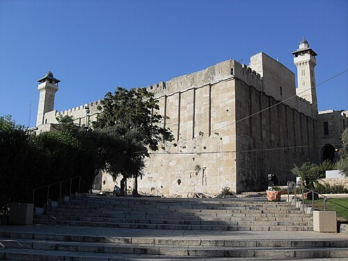
Utilisateur:Djampa - User:Djampa / CC BY-SA 4.0
archaeological siteCavern of the Patriarchs
series of caves located in the heart of the old city of Hebron
Getting there Nearest stop or station Municipal Transportation Center, about 18 min on foot OpenStreetMap
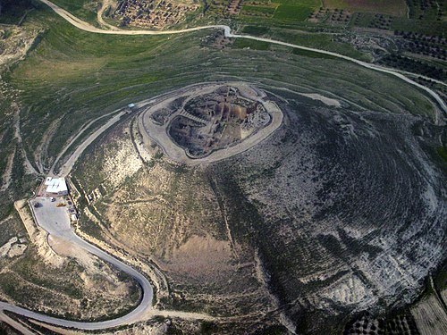
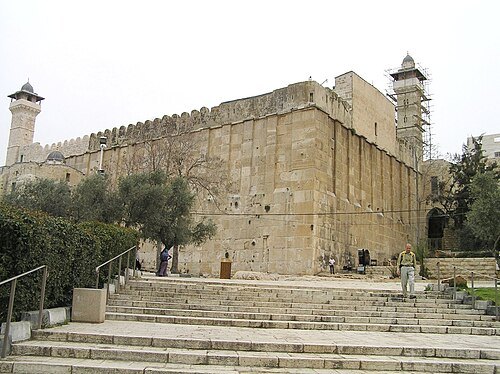 old town
Old City of Hebron
historical city center controlled by Palestinian Authority
Getting there Nearest stop or station Municipal Transportation Center, about 14 min on foot OpenStreetMap
- synagogue
Abraham Avinu Synagogue
Synagogue in the city of Hebron
Getting there Nearest stop or station Municipal Transportation Center, about 14 min on foot OpenStreetMap
- tomb
Tomb of Jesse and Ruth
ancient tomb, synagogue and archaeological site in Hebron
Getting there Nearest stop or station Municipal Transportation Center, about 6 min on foot OpenStreetMap
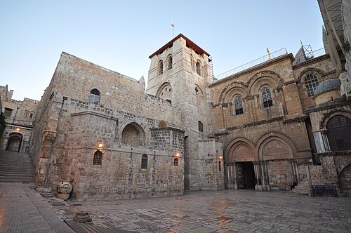
https://www.flickr.com/photos/jlascar/ / CC BY 2.0
heritage siteChurch of the Holy Sepulchre
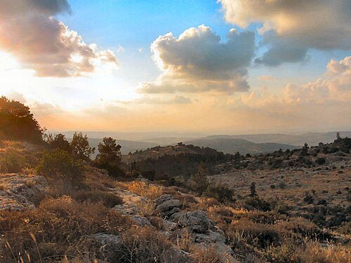
- architectural landmark
Masjid Al-Aqsa
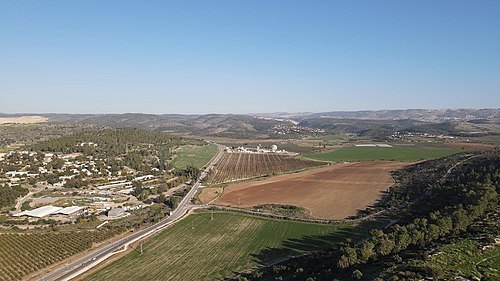
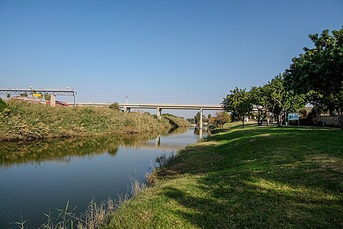
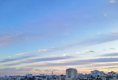
 mosque
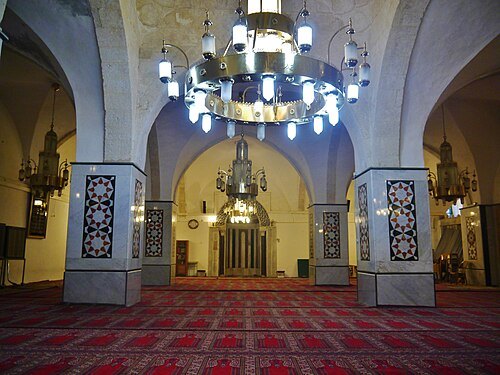
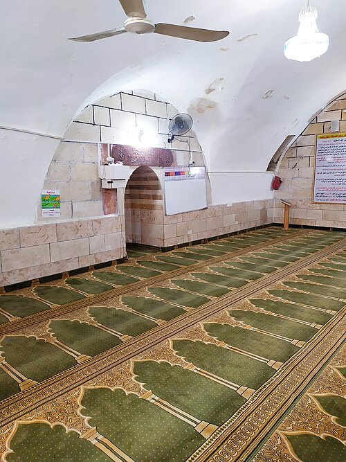
Al-Jawali Mosque
Mosque in Hebron, Palestine
Getting there Nearest stop or station Municipal Transportation Center, about 18 min on foot OpenStreetMap
- archaeological site
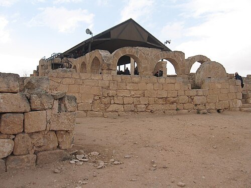
Eshtemoa synagogue
The synagogue of the Jewish community Eshtemoa in the Land of Israel
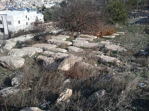 jewish cemetery
Old Jewish Cemetery, Hebron
ancient Jewish Cemetery in Hebron
Getting there Nearest stop or station Municipal Transportation Center, about 3 min on foot OpenStreetMap
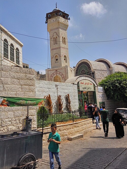 mosque
Sheikh Ali al-Bakka Mosque
mosque in Hebron, West Bank, Palestine
Getting there Nearest stop or station Municipal Transportation Center, about 8 min on foot OpenStreetMap
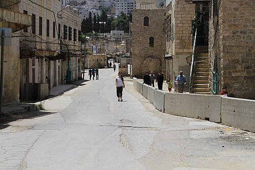
The Palestine Festival of Literature (PalFest) / Public domain
streetAl-Shuhada Street
street in the Old City of Hebron, in the occupied West Bank
Getting there Nearest stop or station Municipal Transportation Center, about 6 min on foot OpenStreetMap
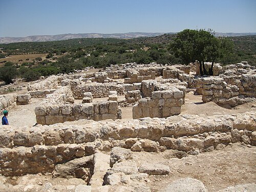
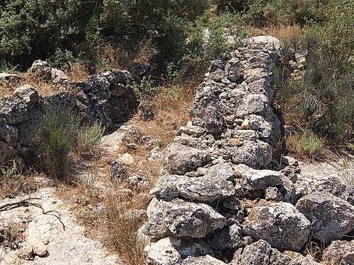
- archaeological site
Khirbet el-Qom
archaeological tomb-site in the territory of the biblical kingdom of Judah, between Lachish and Hebron
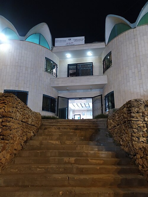
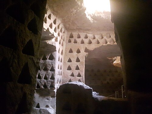
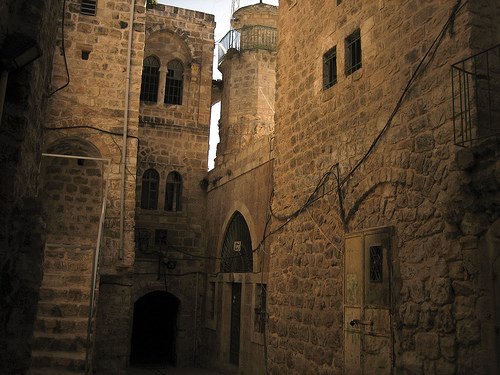 mosque
Ibn Othman Mosque, Hebron
Getting there Nearest stop or station Municipal Transportation Center, about 14 min on foot OpenStreetMap
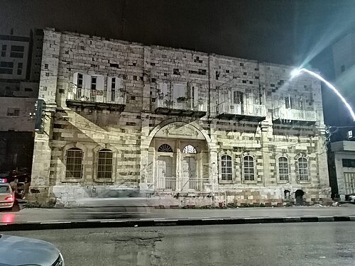
يوسف عادل جولاني / CC BY-SA 4.0
museumHebron University Museum
Hebron University Archaeological Museum
Getting there Nearest stop or station Hebron Central Bus Station, about 6 min on foot OpenStreetMap
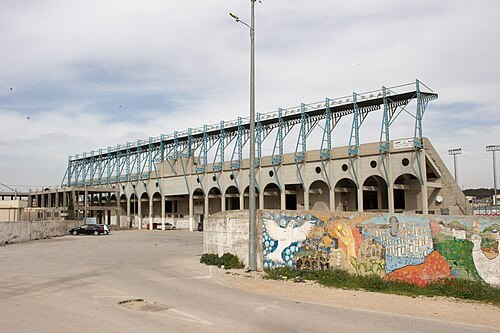
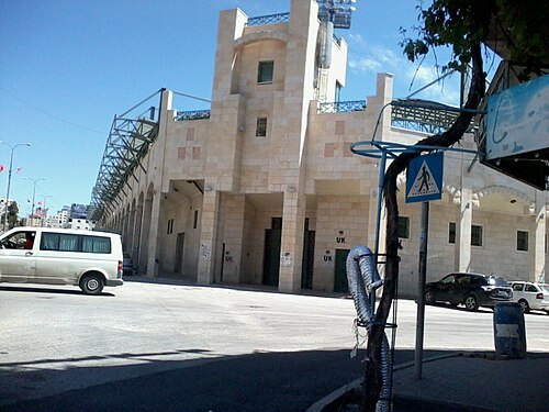 stadium
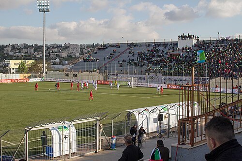
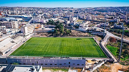
Hussein Bin Ali Stadium
stadium in Hebron, West Bank, Palestine
Getting there Nearest stop or station Hebron Central Bus Station, about 14 min on foot OpenStreetMap
- mountain
Har Sansan
mountain in Israel
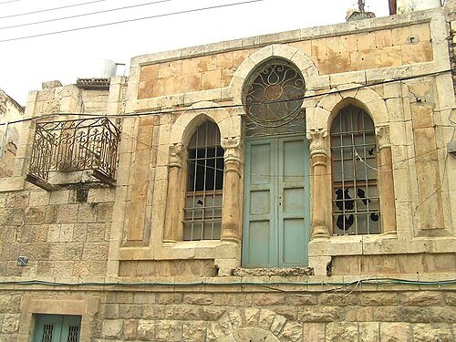 local museum
Hebron Museum
Getting there Nearest stop or station Municipal Transportation Center, about 8 min on foot OpenStreetMap
 cemetery
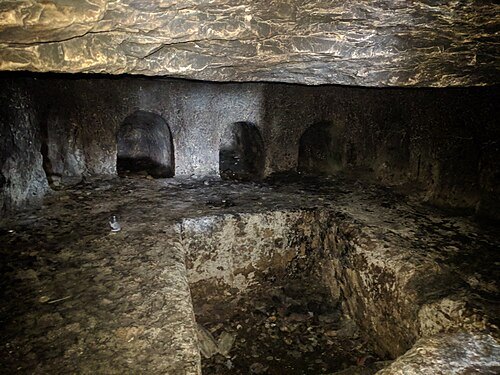
Othniel's Tomb
Biblical Othniel's Tomb according to traditions
Getting there Nearest stop or station Hebron Central Bus Station, about 6 min on foot OpenStreetMap
- castle
Karantina
Historical castle in Hebron, Palestine
Getting there Nearest stop or station Municipal Transportation Center, about 12 min on foot OpenStreetMap
- archaeological site
Biʼr ḥaram al-Rāmah
- archaeological site
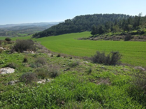
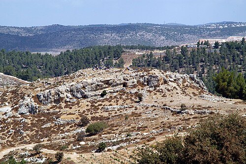
Khirbet Umm a Shaqaf
archaeological site in Israel
- archaeological site
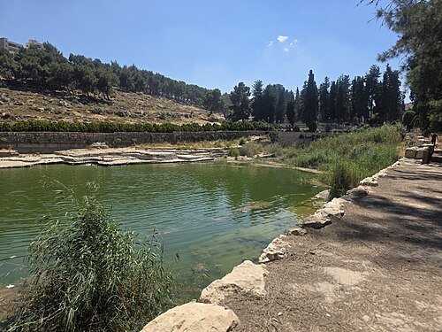
Al-Sultan Pool
archaeological site in Hebron (H2 area)
Getting there Nearest stop or station Municipal Transportation Center, about 16 min on foot OpenStreetMap
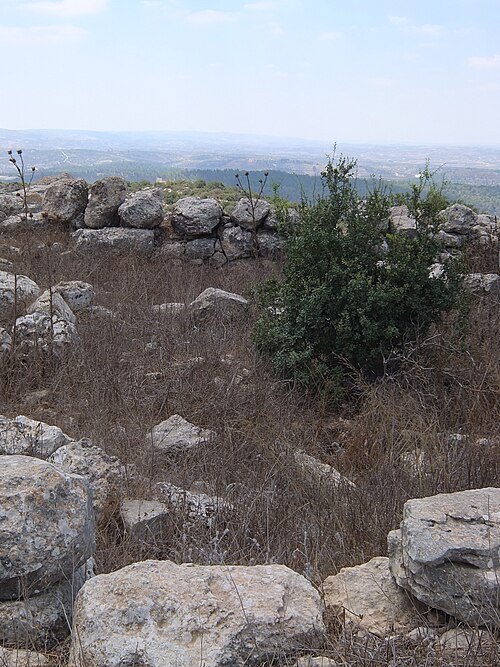
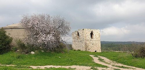
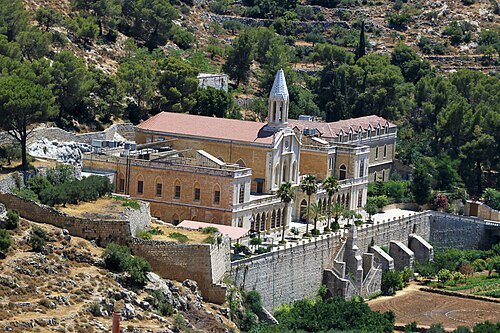 monastery
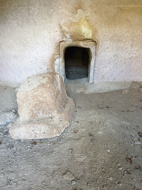
Convent and the Chapel of Hortus Conclusus
- fort
Qalʿat al-Burak
fort in Palestine
- scenic viewpoint
Hebron Observatory


Places to eat
Nothing here matches that. Clear a filter and try again.
Opening hours and tickets: OpenStreetMap contributors. Each one shows the day a volunteer last wrote it down, so check the official site before you set out.