Gaza City: what to see and where to eat
Everything below comes from open data and each row says where it came from. We have not been to any of these places and we do not rank them.
Filters
Things to see
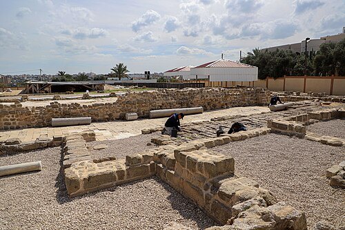
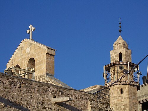
RIZEK ABDELJAWAD / CC BY-SA 4.0
monasterySaint Hilarion monastery
Old christian monastery in Palestine dedicated to Saint Hilarion of Gaza
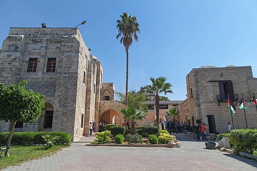
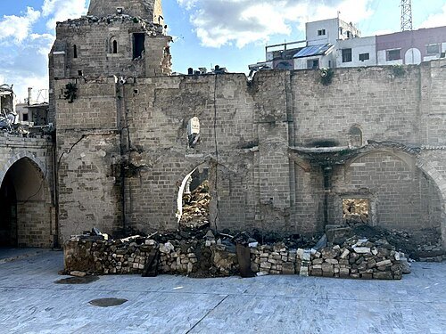
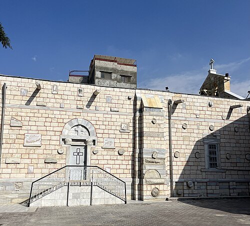
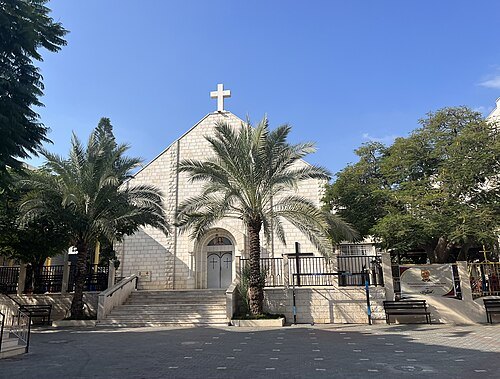
- archaeological site
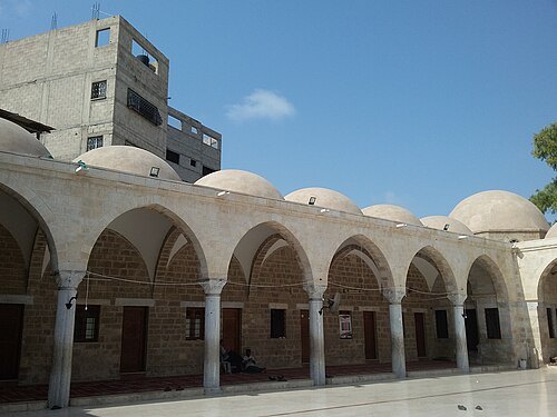
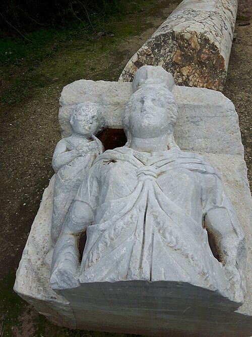
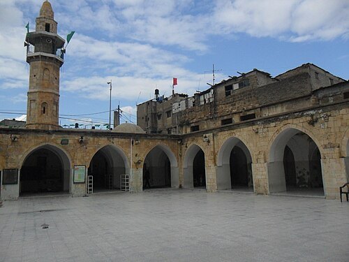
Gaza synagogue
ancient synagogue
Getting there Nearest stop or station Ansar, about 5 min on foot OpenStreetMap
Jaber Jehad Badwan / CC BY-SA 4.0
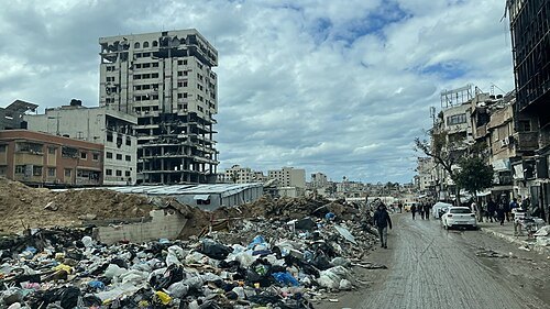
streetOmar Mukhtar Street
street in Gaza City, Palestine
Getting there Nearest stop or station مفترق الحايك, about 8 min on foot OpenStreetMap

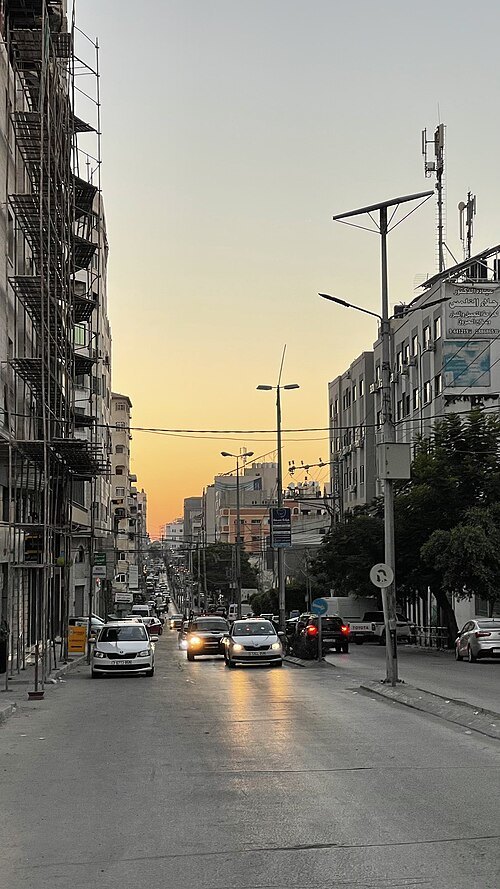
Jaber Jehad Badwan / CC BY-SA 4.0
streetWehda Street
thoroughfare that runs through central Gaza City
Getting there Nearest stop or station مفترق الحايك, about 13 min on foot OpenStreetMap
- association football venue
Yarmouk Stadium
stadium in Gaza City, Gaza Strip, Palestine
Getting there Nearest stop or station مفترق الحايك, about 14 min on foot OpenStreetMap
- mosque
Umm al-Naser Mosque
mosque in Gaza Strip, Palestine
Getting there Nearest stop or station Beit Hanoun Parking, about 5 min on foot OpenStreetMap
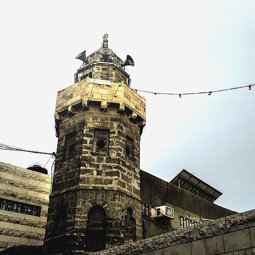
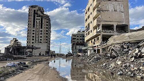
Jaber Jehad Badwan / CC BY-SA 4.0
streetJamal Abdel Nasser Street, Gaza
major street in Gaza
Getting there Nearest stop or station مفترق الحايك, about 3 min on foot OpenStreetMap
- square
Palestine Square
City square in Gaza City, Palestine
Getting there Nearest stop or station مفترق الحايك, about 20 min on foot OpenStreetMap
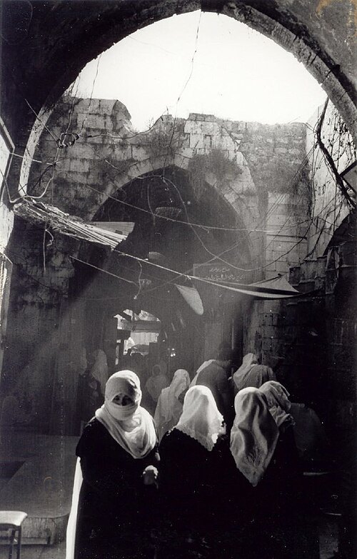
- old town
Old City of Gaza
old city in Gaza Strip
Getting there Nearest stop or station مفترق الحايك, about 18 min on foot OpenStreetMap
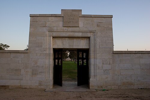 commonwealth war graves commission maintained cemetery
Gaza War Cemetery
cemetery in Gaza City, Palestine
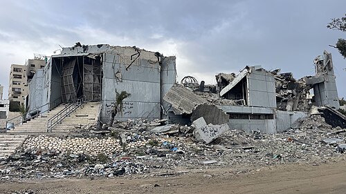
Jaber Jehad Badwan / CC BY-SA 4.0
cultural centerRashad Shawa Cultural Center
cultural center in Gaza City, Gaza Strip, Palestine
Getting there Nearest stop or station Al-Azhar Bus Station, about 11 min on foot OpenStreetMap
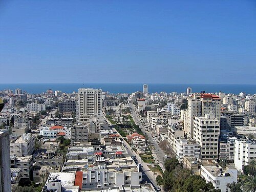 square
Unknown Soldier's Square
square in Gaza City
Getting there Nearest stop or station Al-Azhar Bus Station, about 12 min on foot OpenStreetMap
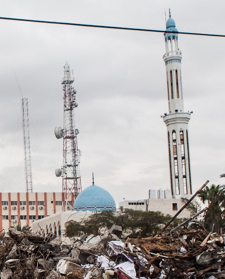
diario fotográfico 'desde Palestina', photographer / CC BY-SA 3.0
mosqueAbu Khadra Mosque
mosque in Gaza City, Palestine
Getting there Nearest stop or station مفترق الحايك, about 7 min on foot OpenStreetMap
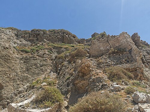
- shrine
Shrine of Husayn's Head
former Fatimid-era Shi'a shrine in Palestine
Getting there Nearest stop or station Ashkelon Central Bus Station, about 12 min on foot OpenStreetMap
- commonwealth war graves commission maintained cemetery
Deir El Belah War Cemetery
military cemetery in Gaza City, Palestine
Getting there Nearest stop or station دوار المغازي (الموقف), about 17 min on foot OpenStreetMap
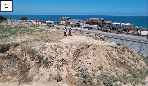
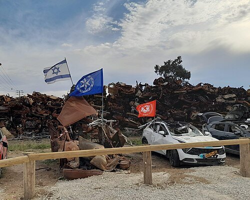
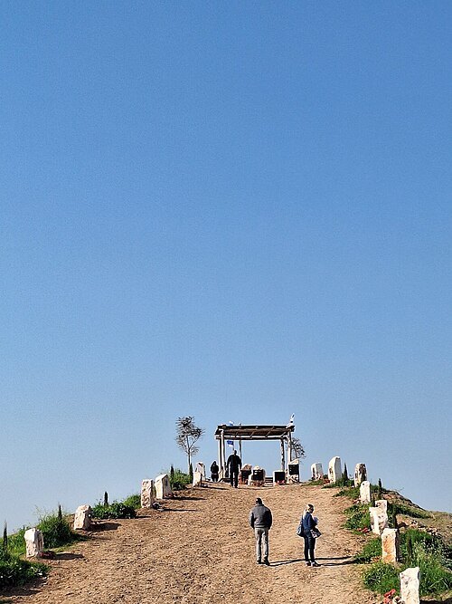 observatory
Nahal Oz Observers Memorial Monument
The Nahal Oz Observers Memorial Monument is a memorial site established in memory of the observer soldiers who fell defending Kibbutz Nahal Oz during the Hamas terrorist attack on October 7, 2023.
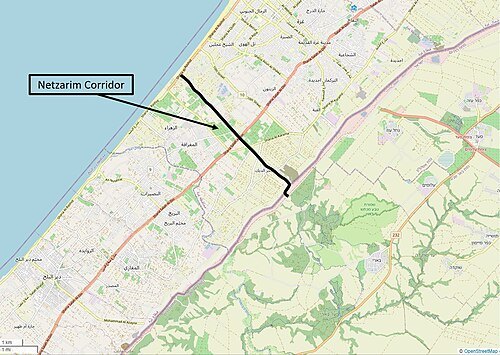
- public library
Gaza Municipal Library
public library in Gaza City, Gaza Strip, Palestine
Getting there Nearest stop or station مفترق الحايك, about 12 min on foot OpenStreetMap
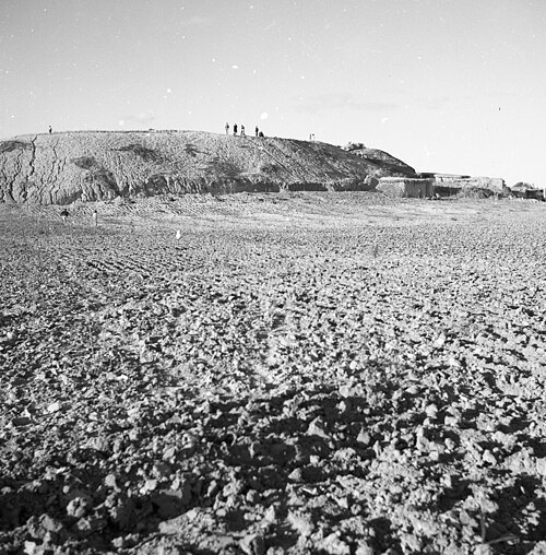
- ancient city
Ancient Gaza
Getting there Nearest stop or station مفترق الحايك, about 18 min on foot OpenStreetMap
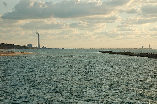
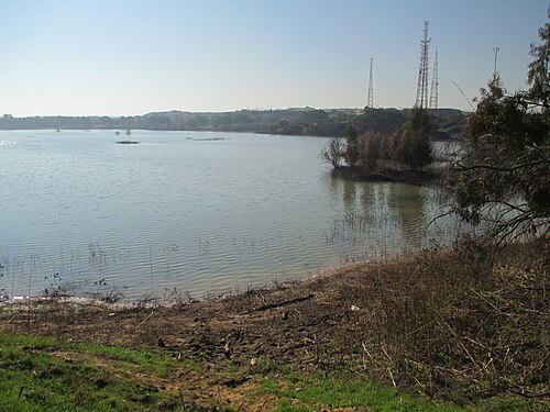
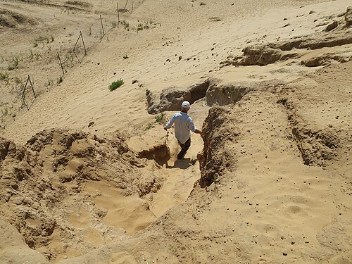
Dr. Avishai Teicher / CC BY 2.5
reservoirShikma Reservoir
reservoir in Israel


Places to eat
- restaurant
Abu Hasera Sea Food
Food: fish
- restaurant
مطبخ بيروت Beirut kitchen
Food: regional
Nothing here matches that. Clear a filter and try again.
Opening hours and tickets: OpenStreetMap contributors. Each one shows the day a volunteer last wrote it down, so check the official site before you set out.