Karachi: what to see and where to eat
Everything below comes from open data and each row says where it came from. We have not been to any of these places and we do not rank them.
Filters
Things to see
- national museum
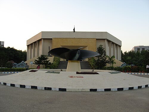
National Museum of Pakistan
art museum and historic site in Karachi, Pakistan
Getting there Nearest stop or station Gul e Ishtiaq Coach, about 16 min on foot OpenStreetMap
 zoo
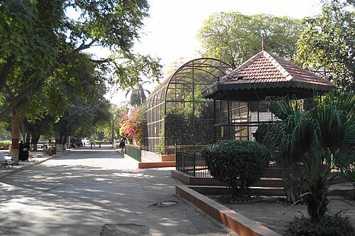
Karachi Zoo
zoo in Sindh, Pakistan
Getting there Nearest stop or station Universal Motor Pvt Ltd.(UML), about 5 min on foot OpenStreetMap
- memorial
Mazar-e-Quaid
Mausoleum of Muhammad Ali Jinnah
Getting there Nearest stop or station Ghulam Nabi Water Contractor (Water Tanker), about 9 min on foot OpenStreetMap
- mosque
Masjid e Tooba
mosque in Karachi, Pakistan
Getting there Nearest stop or station Thatta Bus Stand, about 14 min on foot OpenStreetMap
- river
Lyari River
river in Pakistan
Getting there Nearest stop or station Baldia, about 16 min on foot OpenStreetMap
- cathedral
Saint Patrick's Cathedral
cathedral in Karachi, Pakistan
Getting there Nearest stop or station Faisal Movers Taj Complex Terminal, about 13 min on foot OpenStreetMap
- sculpture
Priest-King
stone sculpture found at Mohenjo-daro, Pakistan
Getting there Nearest stop or station Gul e Ishtiaq Coach, about 16 min on foot OpenStreetMap
Wheredevelsdare (talk) / CC BY-SA 3.0
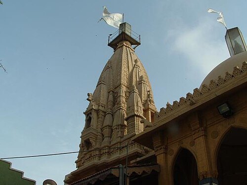
hindu templeShri Swaminarayan Mandir
Hindu temple in Karachi, Pakistan
Getting there Nearest stop or station Karachi City, about 10 min on foot OpenStreetMap
- stadium
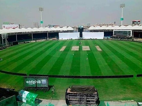
Peoples Football Stadium
football stadium located near Port Grand, Karachi, Sindh, Pakistan
Getting there Nearest stop or station Wazir Mansion Railway Station, about 4 min on foot OpenStreetMap
Adnan Asim from North Nazimabad, Karachi 74700 ( Sindh ), Pakistan / CC BY 2.0
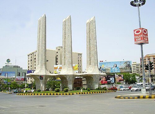
squareTeen Talwar
public monument in Clifton, Karachi
Getting there Nearest stop or station Manthar Coach Ada, about 20 min on foot OpenStreetMap
- museum
Quaid-e-Azam House
museum in Karachi, Pakistan
Getting there Nearest stop or station Manthar Coach Ada, about 9 min on foot OpenStreetMap
- mosque
New Memon Masjid
Mosque in Karachi, Pakistan
Getting there Nearest stop or station Karachi City, about 11 min on foot OpenStreetMap
 museum
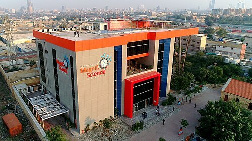
MagnifiScience Centre
Science Centre in Karachi
Getting there Nearest stop or station Karachi City, about 7 min on foot OpenStreetMap

 cathedral
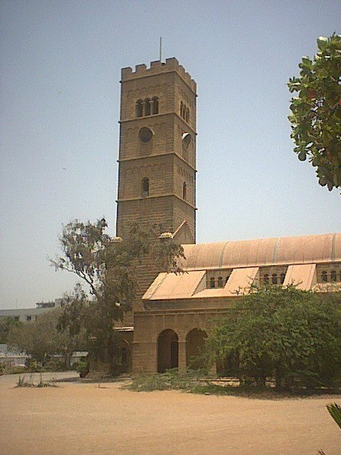
Holy Trinity Cathedral
church in Karachi, Pakistan
Getting there Nearest stop or station Manthar Coach Ada, about 18 min on foot OpenStreetMap
- demolished synagogue
Magain Shalome Synagogue
former Jewish synagogue in Karachi, Pakistan
Getting there Nearest stop or station Halari Bus, about 19 min on foot OpenStreetMap
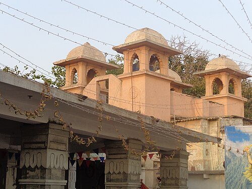
Saad Ullah Bhatti / CC BY-SA 3.0
hindu templeShri Laxmi Narayan Mandir
Hindu temple in Karachi, Pakistan
Getting there Nearest stop or station Tower/KPT, about 6 min on foot OpenStreetMap
- palace
Mohatta Palace
museum in Karachi, Pakistan
Getting there Nearest stop or station Thatta Bus Stand, about 14 min on foot OpenStreetMap
- market hall
Empress Market
marketplace in Sindh, Pakistan
Getting there Nearest stop or station Faisal Movers Taj Complex Terminal, about 11 min on foot OpenStreetMap
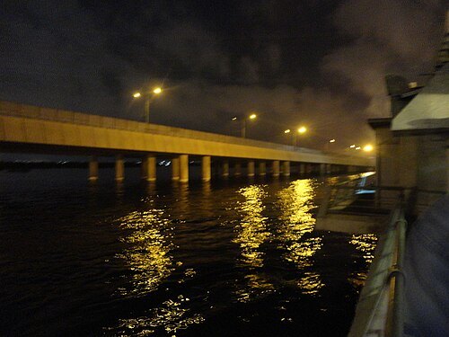 road bridge
Native Jetty Bridge
bridge in Pakistan
Getting there Nearest stop or station Tower/KPT, about 8 min on foot OpenStreetMap
- street
Ibrahim Ismail Chundrigar Road
major road in Karachi, Pakistan
Getting there Nearest stop or station Karachi City, about 3 min on foot OpenStreetMap
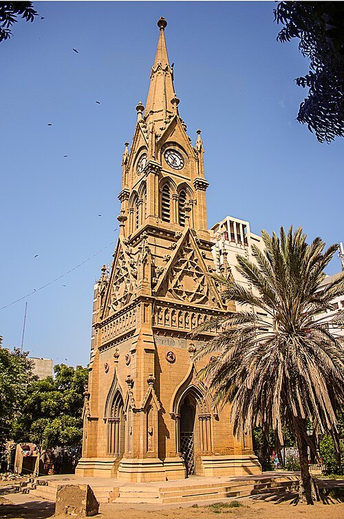 clock tower
Merewether Clock Tower
Clock tower in Karachi, Pakistan
Getting there Nearest stop or station Tower/KPT, about 12 min on foot OpenStreetMap
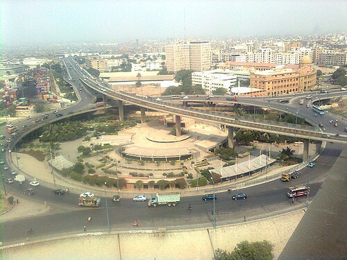 bridge
Jinnah Bridge
bridge in Pakistan
Getting there Nearest stop or station Tower/KPT, about 9 min on foot OpenStreetMap
- observatory
KU Observatory
 stadium
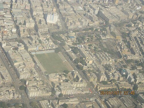
CDGK Stadium
football stadium in Karachi, Pakistan
Getting there Nearest stop or station Tower/KPT, about 6 min on foot OpenStreetMap
Asim Iftikhar Nagi / CC BY-SA 4.0
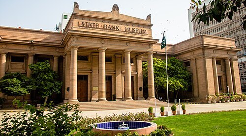
museumState Bank of Pakistan Museum & Art Gallery
numismatic museum and art gallerie in Karachi, Pakistan
Getting there Nearest stop or station Karachi City, about 11 min on foot OpenStreetMap
 mosque
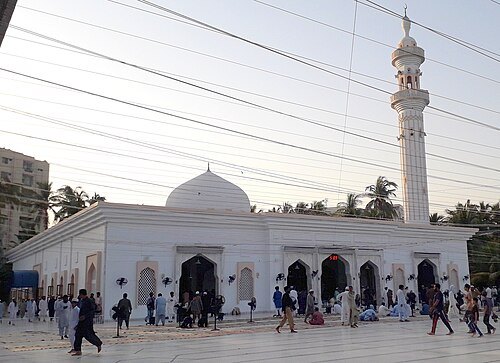
Baitul Mukarram Masjid
mosque in Karachi, Pakistan
Getting there Nearest stop or station Gilani, about 7 min on foot OpenStreetMap
- cemetery
Bani Israel Graveyard
Jewish cemetery in Karachi, Pakistan
Getting there Nearest stop or station Halari Bus, about 14 min on foot OpenStreetMap
 venue
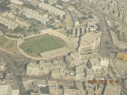
KPT Stadium
football stadium in Pakistan
Getting there Nearest stop or station Tower/KPT, about 6 min on foot OpenStreetMap


Places to eat
- restaurant
Master Biryani
Food: asian
- restaurant
Pizza Bite
Food: pizza, salad, pasta
- restaurant
پیزا ہٹ
Food: pizza
Nothing here matches that. Clear a filter and try again.
Opening hours and tickets: OpenStreetMap contributors. Each one shows the day a volunteer last wrote it down, so check the official site before you set out.