Svelvik: what to see and where to eat

Everything below comes from open data and each row says where it came from. We have not been to any of these places and we do not rank them.

4,193 people live here

Distances are straight-line and the walking time is an estimate, not a route.

Filters

Things to see

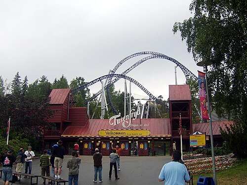
  • Tusenfryd

    Unknown / CC BY-SA 2.5

    amusement park

    Tusenfryd

    Opening hours Not checked

    Admission Not checked

    About 26 km from the city centre

    Map

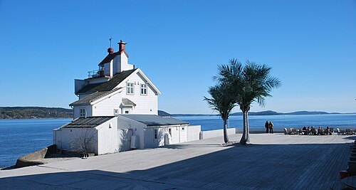
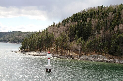
  • Filtvet Lighthouse

    Helge Høifødt / CC BY-SA 3.0

    inactive lighthouse

    Filtvet Lighthouse

    lighthouse in Norway

    Opening hours Not checked

    Admission Not checked

    About 13 km from the city centre

    Map

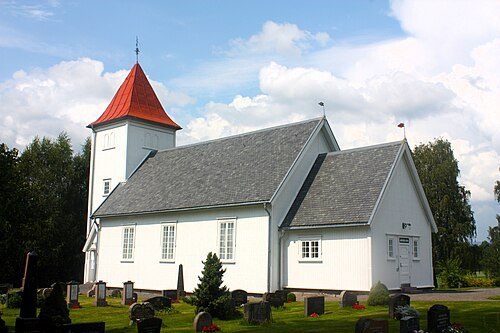
  • Hillestad Church

    Cavernia / CC BY-SA 4.0

    church building

    Hillestad Church

    church building in Holmestrand, Vestfold, Norway

    Opening hours Not checked

    Admission Not checked

    About 17 km from the city centre

    Map

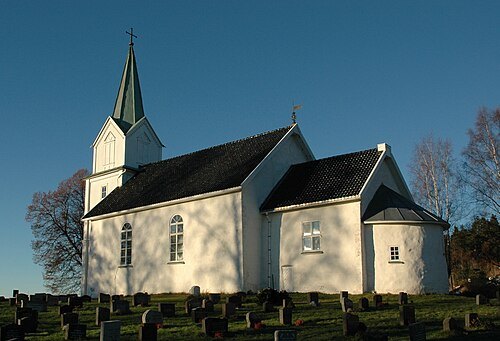
  • Hurum Church

    Kjetil Lenes / CC BY 2.5

    church building

    Hurum Church

    church building in Asker Municipality, Norway

    Opening hours Not checked

    Admission Not checked

    Map

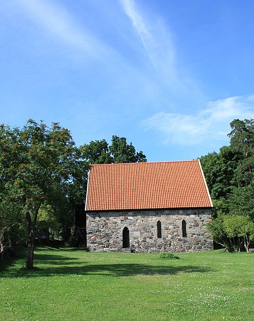
  • Løvøy kapell

    Dirgnih / CC BY 3.0

    church building

    Løvøy kapell

    church building in Horten, Vestfold, Norway

    Opening hours Not checked

    Admission Not checked

    About 18 km from the city centre

    Map

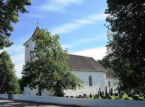
  • Sande Church

    Jan-Tore Egge / CC BY-SA 3.0

    church building

    Sande Church

    church building in Holmestrand, Norway

    Opening hours Not checked

    Admission Not checked

    About 11 km from the city centre

    Map

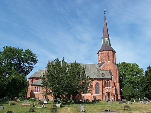
  • church building

    Bragernes Church

    church in Drammen, Norway

    Opening hours Not checked

    Admission Not checked

    Getting there Nearest stop or station Drammen, about 12 min on foot OpenStreetMap
    About 19 km from the city centre

    Map

  • Vestby Church

    Torstein Furnes / CC BY 2.5

    church building

    Vestby Church

    church in Vestby, Akershus, Norway
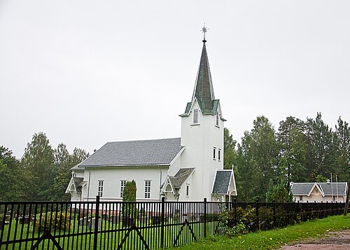
    Opening hours Not checked

    Admission Not checked

    About 18 km from the city centre

    Map

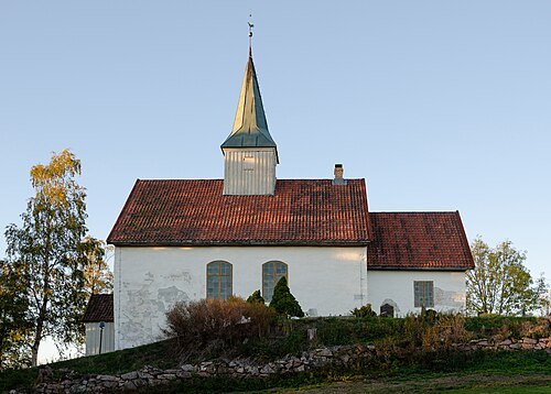
  • Berger Church

    Peter Fiskerstrand / CC BY-SA 4.0

    church building

    Berger Church

    church building in Svelvik, Vestfold, Norway
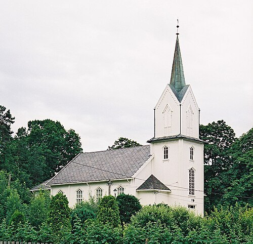
    Opening hours Not checked

    Admission Not checked

    Map

  • Holmsbu Church

    Jensens / Public domain

    church building

    Holmsbu Church

    church building in Hurum, Buskerud, Norway
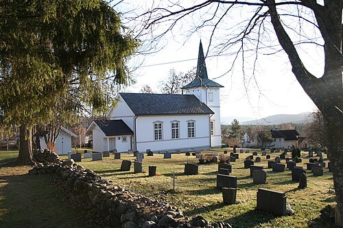
    Opening hours Not checked

    Admission Not checked

    Map

  • Konnerud old Church

    Ivar Vik / CC BY-SA 3.0

    church building

    Konnerud old Church

    church building in Drammen, Buskerud, Norway
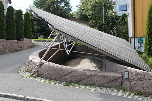
    Opening hours Not checked

    Admission Not checked

    About 19 km from the city centre

    Map

  • Helleristningene i Skogerveien

    Hans A. Rosbach / CC BY-SA 3.0

    cultural property

    Helleristningene i Skogerveien

    Opening hours Not checked

    Admission Not checked

    About 16 km from the city centre

    Map

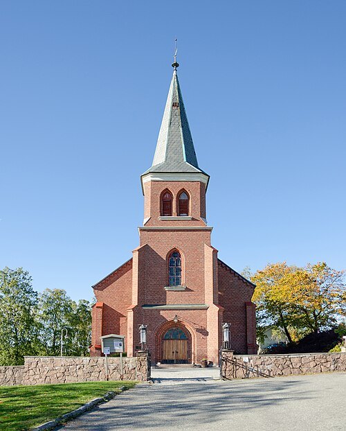
  • Skoger old Church

    Petter Ulleland / CC BY-SA 4.0

    church building

    Skoger old Church

    building in Drammen, Buskerud, Norway
    Opening hours Not checked

    Admission Not checked

    About 13 km from the city centre

    Map

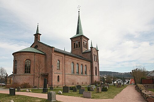
  • Skoger Church

    Petter Ulleland / CC BY-SA 4.0

    church building

    Skoger Church

    building in Drammen, Buskerud, Norway
    Opening hours Not checked

    Admission Not checked

    About 13 km from the city centre

    Map

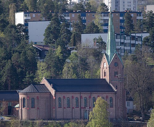
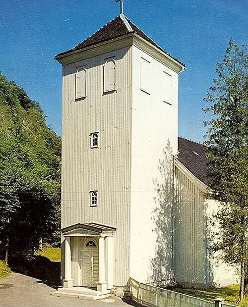
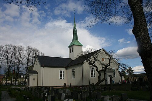
  • Svelvik Church

    Trond Strandsberg / CC BY-SA 3.0

    church building

    Svelvik Church

    church building in Svelvik, Vestfold, Norway

    Opening hours Not checked

    Admission Not checked

    Getting there Nearest stop or station Verket, about 4 min on foot OpenStreetMap
    Map

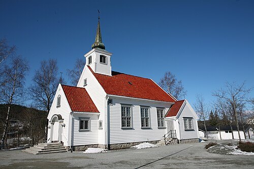
  • Strømsø Church

    Kremle / CC BY-SA 3.0

    church building

    Strømsø Church

    church in Drammen, Norway

    Opening hours Not checked

    Admission Not checked

    Getting there Nearest stop or station Drammen, about 8 min on foot OpenStreetMap
    About 18 km from the city centre

    Map

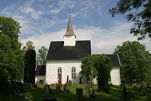
  • Heggedal Church

    Trond Strandsberg / CC BY-SA 3.0

    church building

    Heggedal Church

    church in Asker, Akershus, Norway
    Opening hours Not checked

    Admission Not checked

    About 19 km from the city centre

    Map

  • Røyken Church

    Trond Strandsberg / CC BY-SA 3.0

    church building

    Røyken Church

    church building in Røyken, Buskerud, Norway

    Opening hours Not checked

    Admission Not checked

    About 15 km from the city centre

    Map

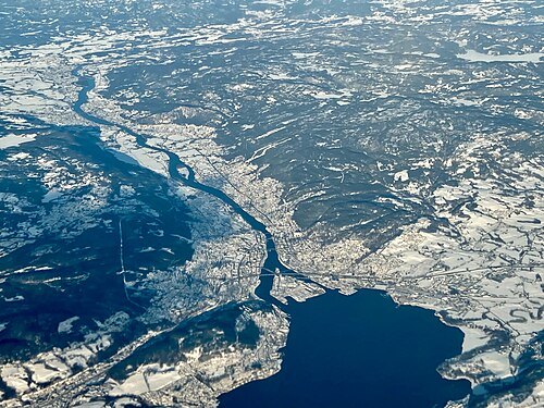
  • Tangen Church

    Peulle / CC BY-SA 4.0

    church building

    Tangen Church

    church building in Drammen, Buskerud, Norway
    Opening hours Not checked

    Admission Not checked

    About 16 km from the city centre

    Map

  • shipwreck

    Blücher

    1937 Admiral Hipper-class cruiser

    Opening hours Not checked

    Admission Not checked

    About 14 km from the city centre

    Map

  • Drammenselva

    kallerna / CC BY-SA 4.0

    river

    Drammenselva

    river in Norway

    Opening hours Not checked

    Admission Not checked

    About 49 km from the city centre

    Map

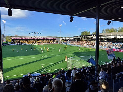
  • Marienlyst Stadion

    Cashewnøtt / CC BY-SA 4.0

    association football venue

    Marienlyst Stadion

    building in Drammen, Buskerud, Norway
    Opening hours Not checked

    Admission Not checked

    Getting there Nearest stop or station Drammen, about 10 min on foot OpenStreetMap
    About 18 km from the city centre

    Map

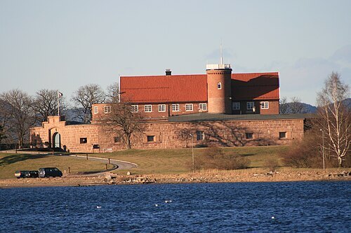
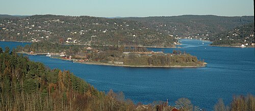
  • Oscarsborg Fortress

    Kjetil Lenes / CC BY 2.5

    military museum

    Oscarsborg Fortress

    coastal fortress in the Oslofjord, Norway

    Opening hours Not checked

    Admission Not checked

    About 13 km from the city centre

    Map

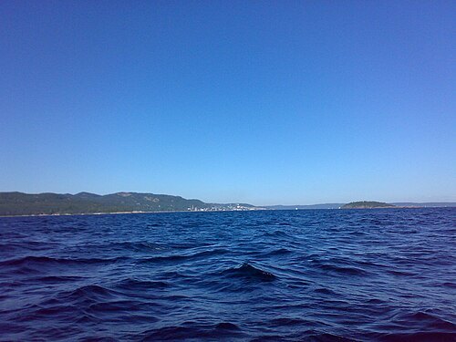
  • Drammensfjord

    Kjetil Lenes / CC BY-SA 3.0

    fjord

    Drammensfjord

    fjord in Norway

    Opening hours Not checked

    Admission Not checked

    Map

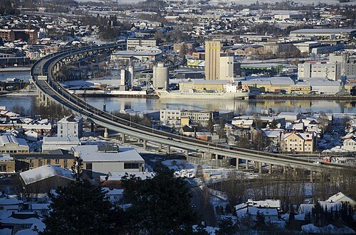
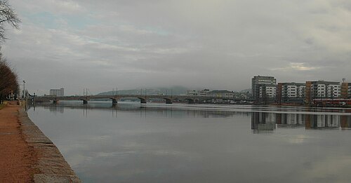
  • Drammen Bridge

    Petter Ulleland / CC BY-SA 4.0

    road bridge

    Drammen Bridge

    bridge in Norway

    Opening hours Not checked

    Admission Not checked

    Getting there Nearest stop or station Brakerøya, about 15 min on foot OpenStreetMap

    About 17 km from the city centre

    Map

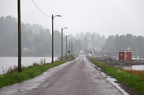
  • Bjerkøya

    Peter Fiskerstrand / CC BY-SA 4.0

    island

    Bjerkøya

    island and village in Holmestrand Municipality, Norway

    Opening hours Not checked

    Admission Not checked

    About 11 km from the city centre

    Map

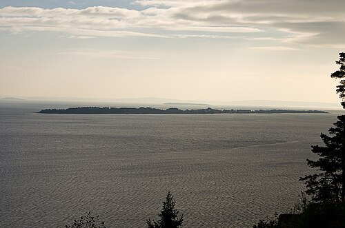
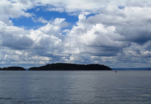
  • Langøya

    Peter Fiskerstrand / CC BY-SA 4.0

    island

    Langøya

    island in Holmestrand, Norway

    Opening hours Not checked

    Admission Not checked

    About 13 km from the city centre

    Map

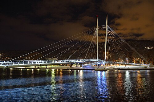
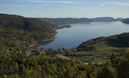
  • Ypsilon

    Knut Arne Gjertsen / CC BY-SA 3.0

    cable-stayed bridge

    Ypsilon

    bridge in Drammen, Norway

    Opening hours Not checked

    Admission Not checked

    Getting there Nearest stop or station Drammen, about 10 min on foot OpenStreetMap
    About 19 km from the city centre

    Map

  • Håøya

    Bjoertvedt / CC BY-SA 3.0

    island

    Håøya

    island in Frogn, Akershus, Norway

    Opening hours Not checked

    Admission Not checked

    About 13 km from the city centre

    Map

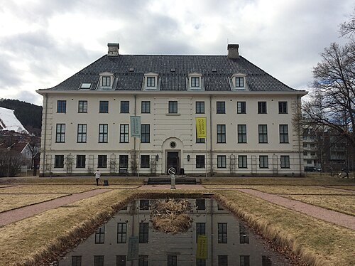
  • Drammens Museum

    Jan-Tore Egge / CC BY-SA 4.0

    art museum

    Drammens Museum

    Art museum in Drammen, Norway

    Opening hours Not checked

    Admission Not checked

    About 18 km from the city centre

    Map

  • peninsula

    Hurumlandet

    peninsula in Asker municipality, Norway

    Opening hours Not checked

    Admission Not checked

    Map

  • Såna

    Chris Nyborg / CC BY-SA 3.0

    river

    Såna

    river which runs through Vestby, Norway

    Opening hours Not checked

    Admission Not checked

    About 19 km from the city centre

    Map

  • Drøbak Sound

    Øyvind Holmstad / CC BY-SA 3.0

    fjord

    Drøbak Sound

    sound in the Oslofjord

    Opening hours Not checked

    Admission Not checked

    Getting there Nearest stop or station Oscarsborg, about 8 min on foot OpenStreetMap
    About 14 km from the city centre

    Map

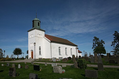
  • Bergsvannet

    No machine-readable author provided. Profero assumed (based on copyright claims). / CC BY 2.5

    lake

    Bergsvannet

    lake at Eidsfoss in Holmestrand, Norway
    Opening hours Not checked

    Admission Not checked

    About 20 km from the city centre

    Map

  • Botne Church

    Trond Strandsberg / CC BY-SA 3.0

    church building

    Botne Church

    church building in Holmestrand, Vestfold, Norway

    Opening hours Not checked

    Admission Not checked

    About 16 km from the city centre

    Map

  • Holmestrand Church

    kirkenorge.no / CC BY-SA 2.5

    church building

    Holmestrand Church

    church building in Holmestrand, Vestfold, Norway

    Opening hours Not checked

    Admission Not checked

    About 15 km from the city centre

    Map

  • Norske Løve Fortress

    Odd Andreas Østtveit / CC BY-SA 3.0

    fort

    Norske Løve Fortress

    fort in Horten, Norway

    Opening hours Not checked

    Admission Not checked

    About 19 km from the city centre

    Map

  • hill

    Lauvkollen

    mountain in Holmestrand/Drammen, Norway
    Opening hours Not checked

    Admission Not checked

    About 18 km from the city centre

    Map

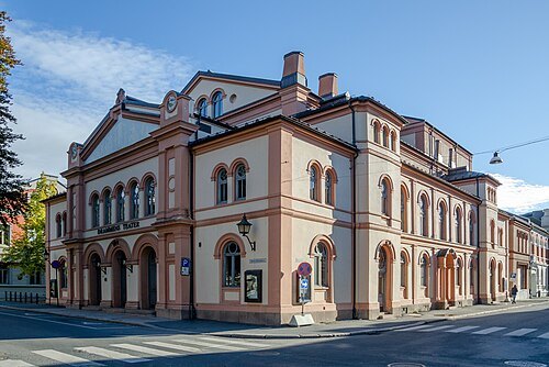
  • Drammens Teater

    Petter Ulleland / CC BY-SA 4.0

    music venue

    Drammens Teater

    building in Drammen, Buskerud, Norway

    Opening hours Not checked

    Admission Not checked

    About 19 km from the city centre

    Map

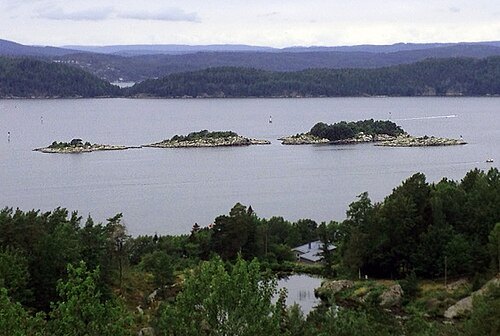
  • nature reserve

    Gråøya

    island in Asker municipality, Norway
    Opening hours Not checked

    Admission Not checked

    About 12 km from the city centre

    Map

  • lighthouse

    Digerudgrunnen Lighthouse

    lighthouse in Norway

    Opening hours Not checked

    Admission Not checked

    About 16 km from the city centre

    Map

  • Askholmene

    Kimsaka / CC BY-SA 4.0

    island group

    Askholmene

    Opening hours Not checked

    Admission Not checked

    About 14 km from the city centre

    Map

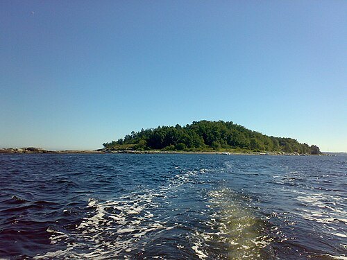
  • Breiangen

    Bjoertvedt / CC BY-SA 3.0

    fjord

    Breiangen

    part of Ytre Oslofjord
    Opening hours Not checked

    Admission Not checked

    About 15 km from the city centre

    Map

  • Mølen

    Bjoertvedt / CC BY-SA 3.0

    island

    Mølen

    island in Hurum, Norway

    Opening hours Not checked

    Admission Not checked

    About 15 km from the city centre

    Map

  • Bevøya

    Colliekar / CC BY-SA 4.0

    island

    Bevøya

    island in Moss, Norway

    Opening hours Not checked

    Admission Not checked

    About 17 km from the city centre

    Map

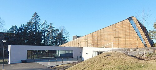
  • church building

    Filtvet Church

    church building in Hurum, Buskerud, Norway
    Opening hours Not checked

    Admission Not checked

    About 12 km from the city centre

    Map

  • Son church

    Jan-Tore Egge / CC BY-SA 4.0

    church building

    Son church

    church building in Vestby, Akershus, Norway

    Opening hours Not checked

    Admission Not checked

    About 19 km from the city centre

    Map

  • hill

    Skog-Slettåsen

    mountain in Norway

    Opening hours Not checked

    Admission Not checked

    About 16 km from the city centre

    Map

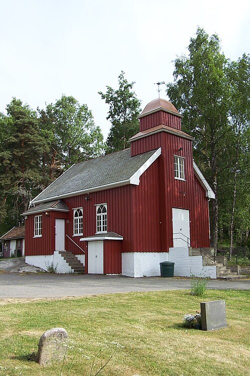
  • hill

    Ryggetangslettås

    mountain in Norway
    Opening hours Not checked

    Admission Not checked

    About 16 km from the city centre

    Map

  • Strømbråten Chapel

    Chris Nyborg / CC BY-SA 3.0

    church building

    Strømbråten Chapel

    church in Vestby, Akershus, Norway

    Opening hours Not checked

    Admission Not checked

    About 19 km from the city centre

    Map

  • hill

    Presteseteråsen

    mountain in Norway

    Opening hours Not checked

    Admission Not checked

    About 19 km from the city centre

    Map

  • hill

    Prest-Slettåsen

    mountain in Norway
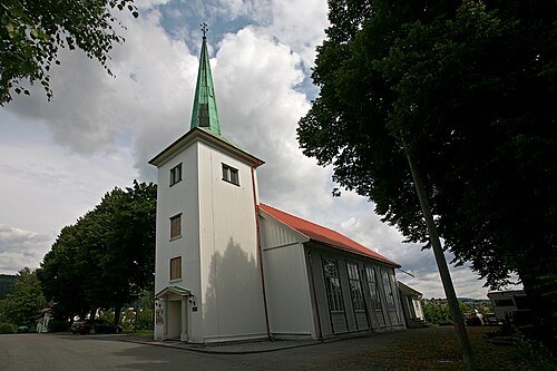
    Opening hours Not checked

    Admission Not checked

    About 20 km from the city centre

    Map

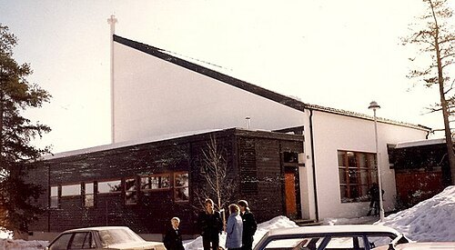
  • Strømsgodset Church

    Trond Strandsberg / CC BY-SA 3.0

    church building

    Strømsgodset Church

    church building in Drammen, Buskerud, Norway

    Opening hours Not checked

    Admission Not checked

    Getting there Nearest stop or station Drammen, about 15 min on foot OpenStreetMap
    About 19 km from the city centre

    Map

  • Fjell Church

    kirkenorge.no / CC BY-SA 2.5

    church building

    Fjell Church

    church in Drammen, Norway

    Opening hours Not checked

    Admission Not checked

    About 16 km from the city centre

    Map

  • Nesbygda Church

    Jan-Tore Egge / CC BY-SA 3.0

    church building

    Nesbygda Church

    church building in Svelvik, Vestfold, Norway

    Opening hours Not checked

    Admission Not checked

    About 9 km from the city centre

    Map

  • Drammen City Bridge

    Kjetil Lenes / CC BY 2.5

    road bridge

    Drammen City Bridge

    second city bridge in Drammen, Norway (1936–2022)

    Opening hours Not checked

    Admission Not checked

    About 18 km from the city centre

    Map

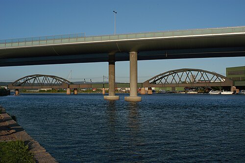
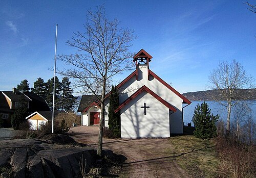
  • Holmenbruene

    Peulle / CC BY-SA 3.0

    bridge group

    Holmenbruene

    group of two railway bridges and two road bridges in Drammen, Norway

    Opening hours Not checked

    Admission Not checked

    Getting there Nearest stop or station Drammen, about 15 min on foot OpenStreetMap
    About 17 km from the city centre

    Map

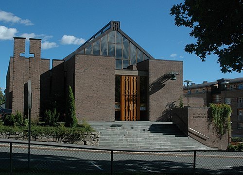
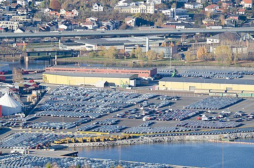
  • St. Laurentius Church

    Kjetil Lenes / CC BY 2.5

    church building

    St. Laurentius Church

    church building in Drammen, Buskerud, Norway

    Opening hours Not checked

    Admission Not checked

    Getting there Nearest stop or station Drammen, about 12 min on foot OpenStreetMap
    About 19 km from the city centre

    Map

  • Holmen

    Peulle / CC BY-SA 4.0

    island

    Holmen

    island in Drammen, Norway

    Opening hours Not checked

    Admission Not checked

    Getting there Nearest stop or station Brakerøya, about 14 min on foot OpenStreetMap
    About 17 km from the city centre

    Map

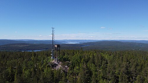
  • Stikkvannskollen

    EspenFjeldstad / CC BY-SA 4.0

    mountain

    Stikkvannskollen

    mountain in Norway
    Opening hours Not checked

    Admission Not checked

    Map

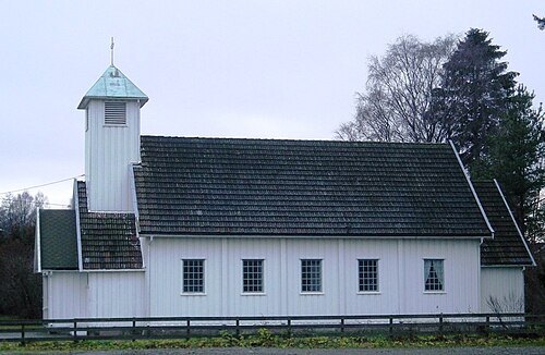
  • Gullaug Church

    Jan-Tore Egge / CC BY-SA 3.0

    church building

    Gullaug Church

    church building in Lier, Buskerud, Norway

    Opening hours Not checked

    Admission Not checked

    About 17 km from the city centre

    Map

Places to eat

  • restaurant

    Le Thai

    Food: thai

    We-Su 14:00-21:00

    Map

  • cafe

    Lunsjeriet

    Food: regional, sandwich, ice cream, bakery

    Mo-Su 10:00-16:00

    Map

Opening hours and tickets: OpenStreetMap contributors. Each one shows the day a volunteer last wrote it down, so check the official site before you set out.

Nothing picked yet
    Add a place that is not listed here

    One per line. Pasting a list works too.

    Norway