Oslo: what to see and where to eat
Everything below comes from open data and each row says where it came from. We have not been to any of these places and we do not rank them.
Filters
Things to see
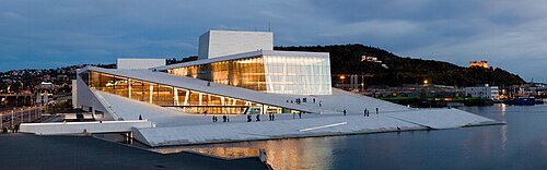
Rafał Konieczny / CC BY-SA 4.0
concert hallOslo Opera House
opera house in Oslo, Norway
Getting there Nearest stop or station Langkaia Vision of the Fjord, about 5 min on foot OpenStreetMap
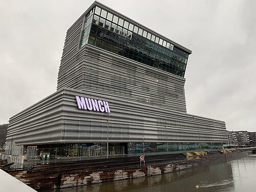 art museum
Munch Museum
art museum in Oslo, Norway
Getting there Nearest stop or station Langkaia Vision of the Fjord, about 7 min on foot OpenStreetMap
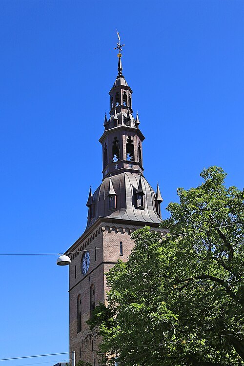 lutheran cathedral
Oslo Cathedral
cathedral in Oslo, Norway
Getting there Nearest stop or station Stortorvet, about 2 min on foot OpenStreetMap
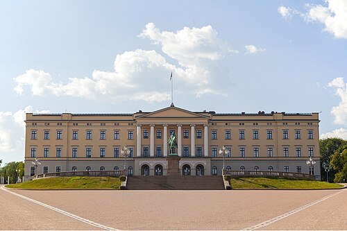
Andreas Haldorsen / CC BY-SA 4.0
royal palaceRoyal Palace, Oslo
official residence of the monarch of Norway
Getting there Nearest stop or station National Theatre, about 4 min on foot OpenStreetMap
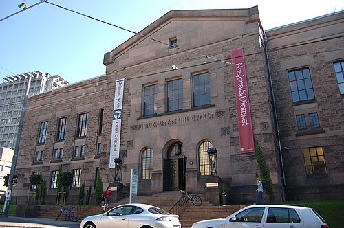
Hans-Petter Fjeld / CC BY-SA 2.5
national libraryNational Library of Norway
Norwegian national library
Getting there Nearest stop or station Kiel - Oslo - Kiel, about 11 min on foot OpenStreetMap
- city hall
Oslo City Hall
city hall in Norway
Getting there Nearest stop or station National Theatre, about 7 min on foot OpenStreetMap
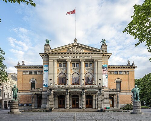
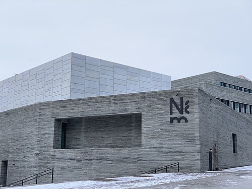 national museum
National Museum of Art, Architecture and Design
National Museum in Oslo
Getting there Nearest stop or station National Theatre, about 7 min on foot OpenStreetMap
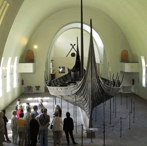
User Arnejohs on en.wikipedia / Public domain
maritime museumViking Ship Museum
museum in Oslo
Getting there Nearest stop or station Dronningen, about 11 min on foot OpenStreetMap
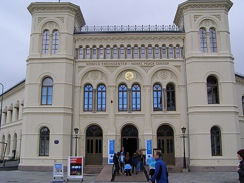
Sean Hayford O'Leary / CC BY 2.0
museumNobel Peace Center
museum in Oslo, Norway
Getting there Nearest stop or station National Theatre, about 7 min on foot OpenStreetMap
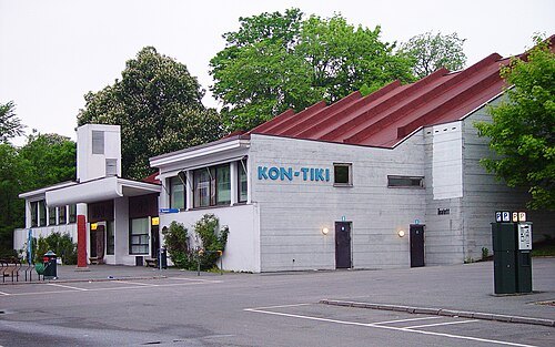
Philip Gabrielsen / CC BY-SA 4.0
museumKon-Tiki Museum
museum in Oslo, Norway
Getting there Nearest stop or station Bygdøynes, about 3 min on foot OpenStreetMap
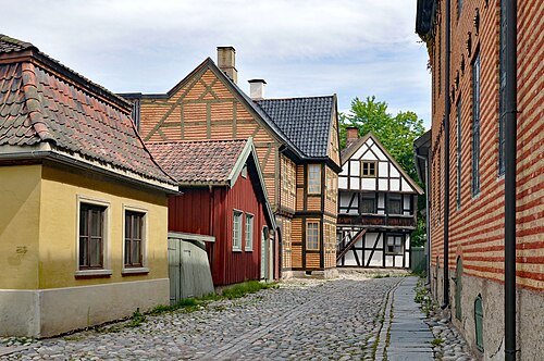 cultural history museum
Norwegian Museum of Cultural History
cultural history museum in Oslo, Norway
Getting there Nearest stop or station Dronningen, about 9 min on foot OpenStreetMap
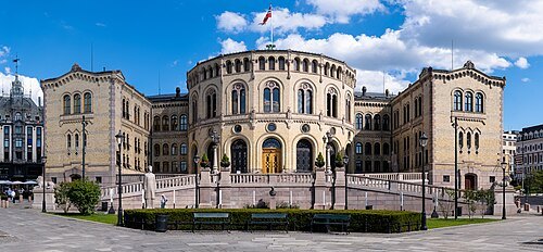
Christian David / CC BY-SA 4.0
parliament buildingParliament of Norway Building
Seat of the Storting, the parliament of Norway
Getting there Nearest stop or station Stortinget, about 3 min on foot OpenStreetMap
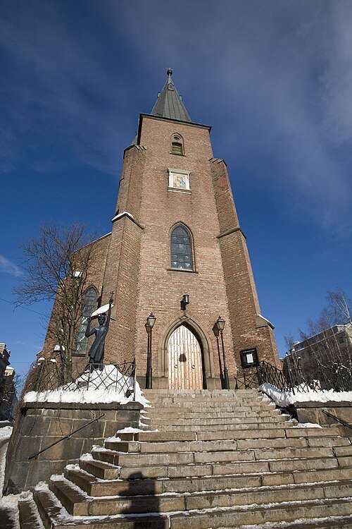
Asgeir O. Mortensen / CC BY-SA 3.0
catholic cathedralSt. Olav's Cathedral
cathedral in Oslo, Norway
Getting there Nearest stop or station Stortinget, about 8 min on foot OpenStreetMap
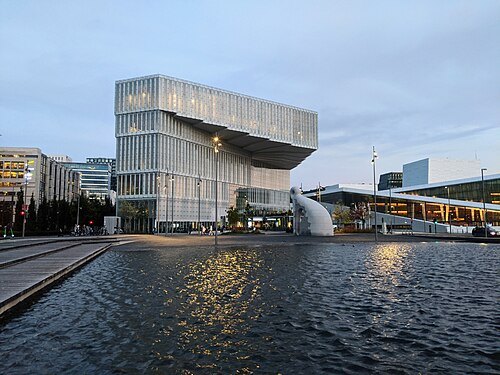 public library
Oslo Public Library
library in Oslo, Norway
Getting there Nearest stop or station Oslo Central Station, about 4 min on foot OpenStreetMap
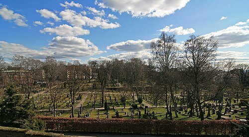 cemetery
Vår Frelsers gravlund
cemetery in Oslo, Norway
Getting there Nearest stop or station Stortinget, about 13 min on foot OpenStreetMap
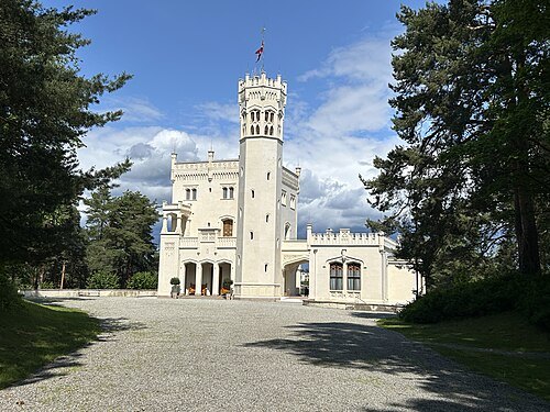 palace
Oscarshall
Palace in Oslo, Norway
Getting there Nearest stop or station Dronningen, about 6 min on foot OpenStreetMap
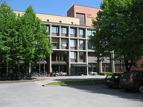 cultural property
Norwegian Academy of Music
music conservatory in Oslo, Norway
Getting there Nearest stop or station Majorstuen, about 4 min on foot OpenStreetMap
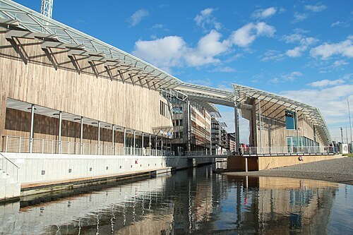 art gallery
Astrup Fearnley Museum of Modern Art
Art museum in Oslo, Norway
Getting there Nearest stop or station Color Line Terminal, about 11 min on foot OpenStreetMap
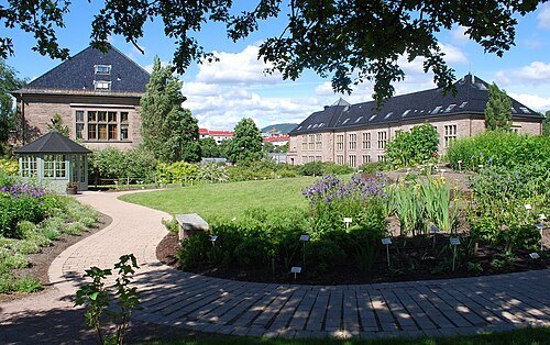 botanical garden
Oslo Botanical Garden
University Botanical Garden in Oslo
Getting there Nearest stop or station Tøyen, about 6 min on foot OpenStreetMap
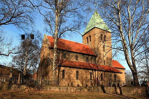 church building
Old Aker Church
church in Oslo, Norway
Getting there Nearest stop or station Stortinget, about 18 min on foot OpenStreetMap
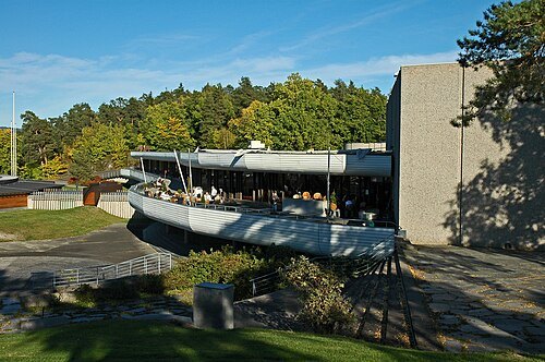
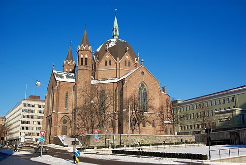
Bjørn Erik Pedersen / CC BY-SA 3.0
church buildingTrinity Church
church in Oslo, Norway
Getting there Nearest stop or station Stortinget, about 6 min on foot OpenStreetMap
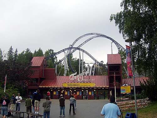
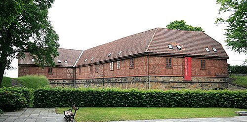 military museum
Norway's Resistance Museum
world war ii museum in Akershus Fortress, Oslo
Getting there Nearest stop or station Oslo Vippetangen, about 10 min on foot OpenStreetMap
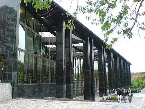 academic library
University of Oslo Library
academic library in Norway
Getting there Nearest stop or station Blindern, about 5 min on foot OpenStreetMap
- preserved watercraft
Fram
Norwegian polar exploration vessel
Getting there Nearest stop or station Bygdøynes, about 2 min on foot OpenStreetMap
 indoor football arena
Unity Arena
indoor multi-purpose arena in Oslo, Norway
Getting there Nearest stop or station Stabekk, about 16 min on foot OpenStreetMap
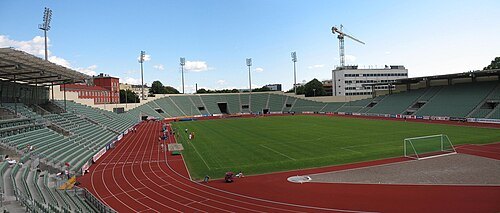 stadium
Bislett Stadion
stadium at Oslo, Norway
Getting there Nearest stop or station National Theatre, about 16 min on foot OpenStreetMap
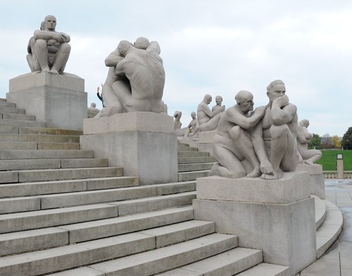 sculpture garden
Vigeland installation
sculpture installation in Frogner Park
Getting there Nearest stop or station Borgen, about 12 min on foot OpenStreetMap
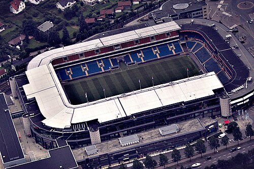
John Christian Fjellestad from Hamar, Norway / CC BY-SA 2.0
association football venueUllevaal Stadion
sports ground in Oslo, Norway
Getting there Nearest stop or station Ullevål stadion, about 4 min on foot OpenStreetMap
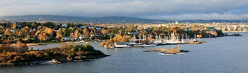 peninsula
Bygdøy
part of Oslo
Getting there Nearest stop or station Dronningen, about 14 min on foot OpenStreetMap
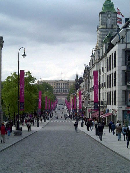 boulevard
Karl Johans gate
street in Oslo, Norway
Getting there Nearest stop or station Stortinget, about 2 min on foot OpenStreetMap
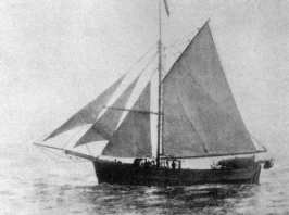 preserved watercraft
Gjøa
1872 sloop
Getting there Nearest stop or station Bygdøynes, about 2 min on foot OpenStreetMap
- river
Akerselva
river in Oslo, Norway
Getting there Nearest stop or station Oslo Central Station, about 6 min on foot OpenStreetMap
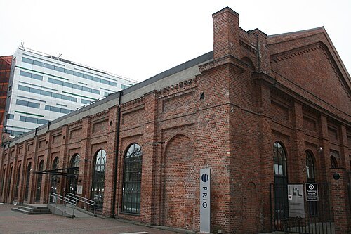 old town
Gamle Oslo
urban district in Oslo, Norway
Getting there Nearest stop or station Ensjø, about 5 min on foot OpenStreetMap
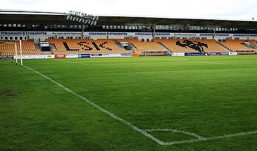
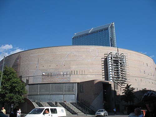 concert hall
Oslo Spektrum
multi-use indoor arena in Oslo, Norway
Getting there Nearest stop or station Jernbanetorget, about 3 min on foot OpenStreetMap
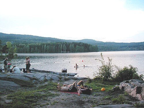
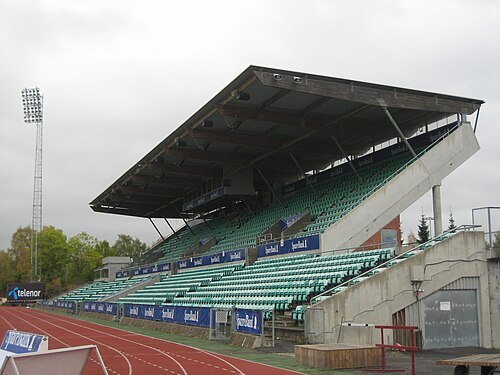 sports venue
Nadderud Sports Arena
sports stadium in Norway
Getting there Nearest stop or station Bekkestua, about 10 min on foot OpenStreetMap
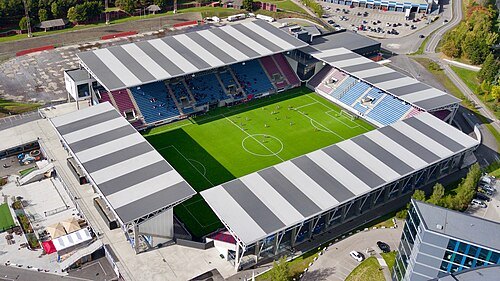 association football venue
Intility Arena
football stadium in Oslo, Norway
Getting there Nearest stop or station Helsfyr T, about 10 min on foot OpenStreetMap
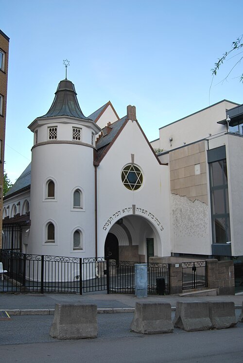 synagogue
Oslo Synagogue
Jüdisches Gotteshaus in Oslo, Norwegen
Getting there Nearest stop or station National Theatre, about 20 min on foot OpenStreetMap
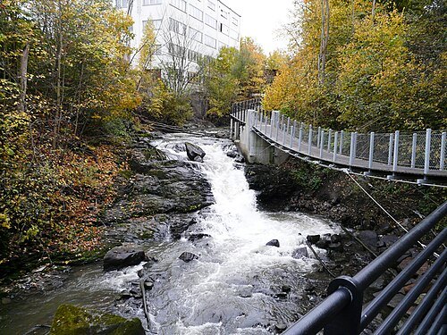
Ida Tolgensbakk / CC BY-SA 3.0
riverAlna
river in Oslo, Norway
Getting there Nearest stop or station Oslo Ferry Terminal, about 15 min on foot OpenStreetMap
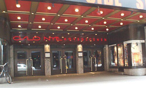
Hans-Petter Fjeld / CC BY-SA 2.5
theatre companyOslo Nye Teater
organization
Getting there Nearest stop or station Stortinget, about 3 min on foot OpenStreetMap
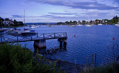
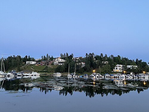
 island
Hovedøya
island
Getting there Nearest stop or station Gressholmen, about 15 min on foot OpenStreetMap
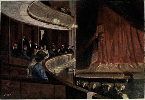
Gudmund Stenersen / Public domain
theatre buildingChristiania Theatre
public theatre in Norway (1836-1899)
Getting there Nearest stop or station Langkaia Vision of the Fjord, about 6 min on foot OpenStreetMap
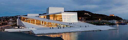
Rafał Konieczny / CC BY-SA 4.0
opera companyNorwegian National Opera and Ballet
musical theater of Norway
Getting there Nearest stop or station Langkaia Vision of the Fjord, about 4 min on foot OpenStreetMap
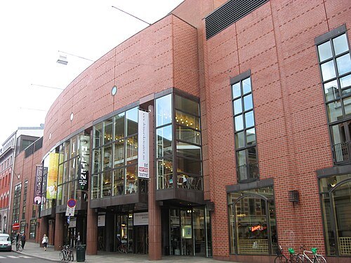
Hans A. Rosbach / CC BY-SA 3.0
theatre companyDet Norske Teatret
Norwegian theater
Getting there Nearest stop or station Stortinget, about 5 min on foot OpenStreetMap


Places to eat
No eating place in this city lists its cuisine and opening hours yet.
Nothing here matches that. Clear a filter and try again.
Opening hours and tickets: OpenStreetMap contributors. Each one shows the day a volunteer last wrote it down, so check the official site before you set out.