Narvik: what to see and where to eat
Everything below comes from open data and each row says where it came from. We have not been to any of these places and we do not rank them.
Filters
Things to see
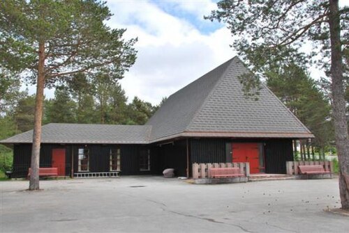
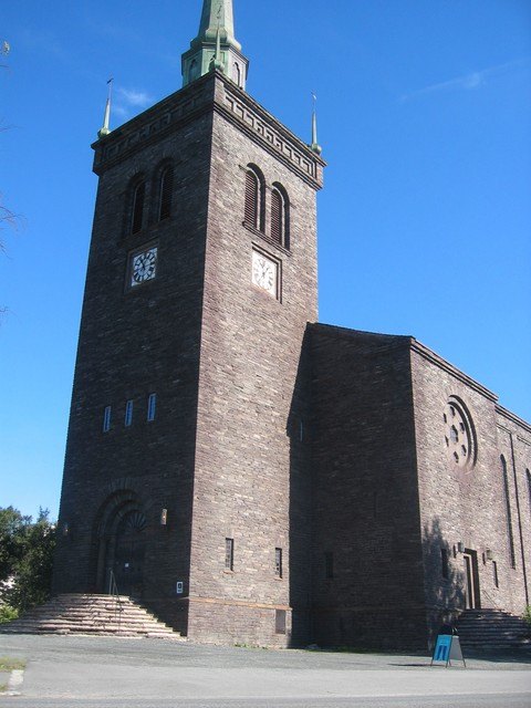 church building
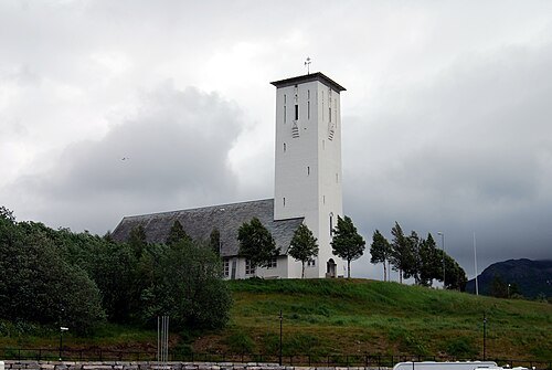
Narvik Church
church in Narvik, Norway
Getting there Nearest stop or station Narvik bussterminal, about 6 min on foot OpenStreetMap
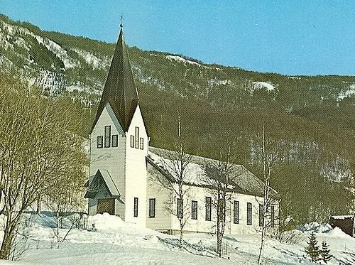
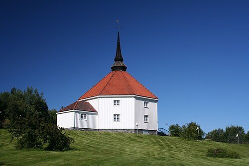
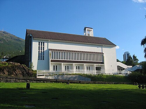
Trond Laksaa for kirkenorge.no / CC BY-SA 2.5
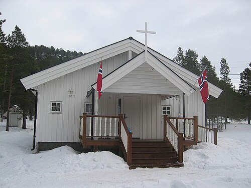
church buildingFredskapellet
church in Narvik, Norway
Getting there Nearest stop or station Narvik, about 8 min on foot OpenStreetMap
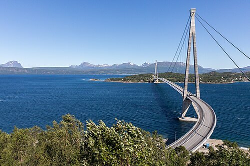
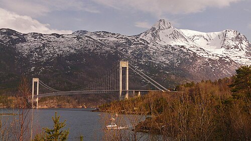
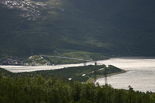
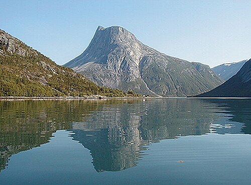
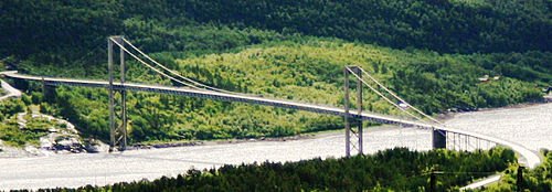
Rombak_Bridge.jpg: Jeanie Mackinder from Canberra, Australia derivative work: Sam (talk) / CC BY 2.0
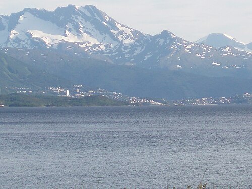
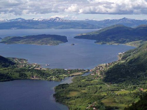 bay
Bogen
bay of Ofotfjorden, Norway
Ximonic, Simo Räsänen / CC BY 2.5
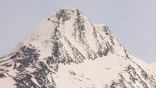
mountainSkjomtinden
mountain in Norway
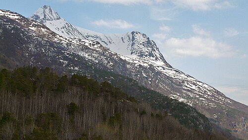
Ximonic, Simo Räsänen / CC BY 2.5
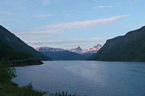
mountainKongsbakktinden
mountain in Norway
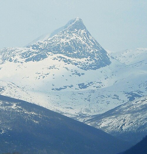
Ximonic, Simo Räsänen / CC BY 2.5
mountainVáhttečohkka
mountain in Norway
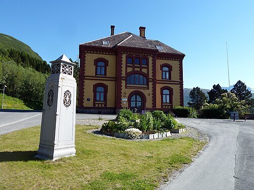 museum
Museum Nord, Narvik
Railway museum in Narvik, Norway
Getting there Nearest stop or station Narvik bussterminal, about 10 min on foot OpenStreetMap
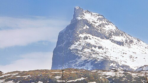
Ximonic, Simo Räsänen / CC BY 2.5
summitRombakstøtta
mountain in Narvik municipality, Norway
- lake
Strandvatnet
lake in Evenes, Nordland, Norway
- lake
Storvatnet
lake in Narvik, Norway
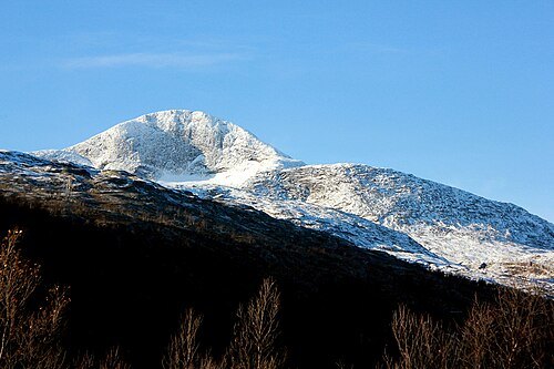 mountain
Ruoidnačohkka
mountain in Norway
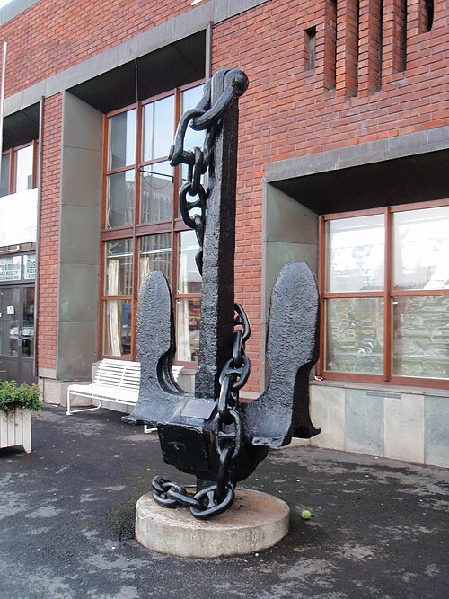 military museum
Narvik Red Cross War Museum
Getting there Nearest stop or station Narvik bussterminal, about 3 min on foot OpenStreetMap
- river
Elvegårdselva
river in Norway


Places to eat
Nothing here matches that. Clear a filter and try again.
Opening hours and tickets: OpenStreetMap contributors. Each one shows the day a volunteer last wrote it down, so check the official site before you set out.