Christchurch: what to see and where to eat
Everything below comes from open data and each row says where it came from. We have not been to any of these places and we do not rank them.
Filters
Things to see
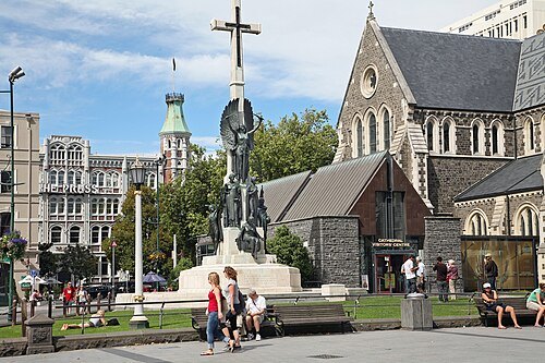 anglican or episcopal cathedral
Christ Church Cathedral
Ruins of the former Christ Church Cathedral, New Zealand
Getting there Nearest stop or station Bus Interchange, about 7 min on foot OpenStreetMap
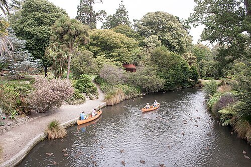
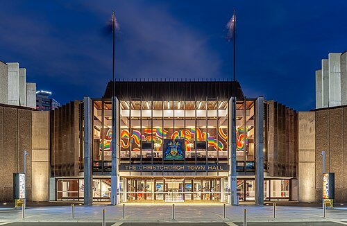 performing arts center
Christchurch Town Hall
performing arts centre in Christchurch, New Zealand
Getting there Nearest stop or station Bus Interchange, about 14 min on foot OpenStreetMap
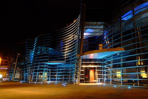
Francis Vallance / CC BY-SA 2.0
art museumChristchurch Art Gallery
art museum in Christchurch, New Zealand
Getting there Nearest stop or station Bus Interchange, about 11 min on foot OpenStreetMap
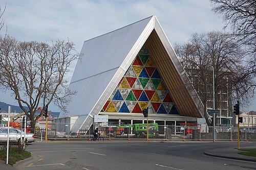 anglican or episcopal cathedral
Cardboard Cathedral
Cathedral in Christchurch, New Zealand
Getting there Nearest stop or station Bus Interchange, about 8 min on foot OpenStreetMap
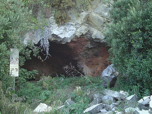
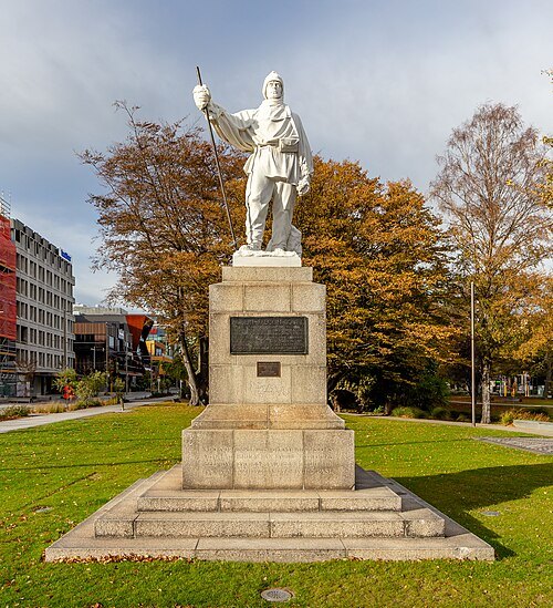 statue
Statue of Robert Falcon Scott
statue in Christchurch
Getting there Nearest stop or station Bus Interchange, about 8 min on foot OpenStreetMap
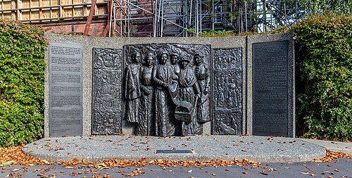 sculpture
Kate Sheppard National Memorial
memorial to the women's suffrage campaign, located in Christchurch, New Zealand
Getting there Nearest stop or station Bus Interchange, about 9 min on foot OpenStreetMap
 war memorial
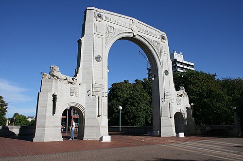
Bridge of Remembrance
New Zealand bridge and war memorial
Getting there Nearest stop or station Bus Interchange, about 6 min on foot OpenStreetMap

Bernard Spragg. NZ from Christchurch, New Zealand / CC0
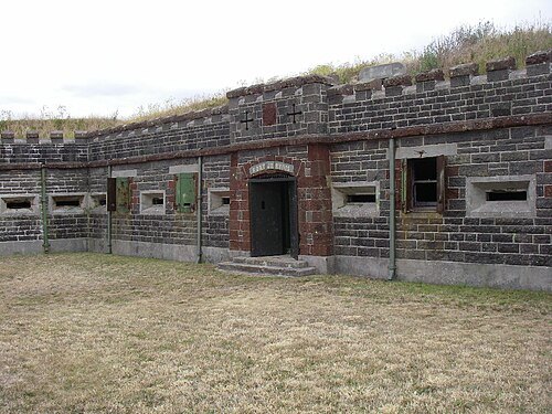
national museumAir Force Museum of New Zealand
military and aviation museum in Christchurch, New Zealand
 statue
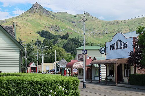
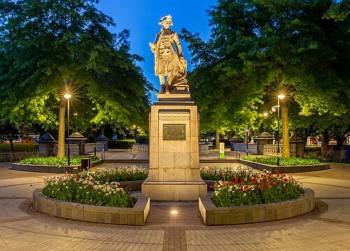
Cook Statue
statue in Christchurch, New Zealand
Getting there Nearest stop or station Bus Interchange, about 12 min on foot OpenStreetMap
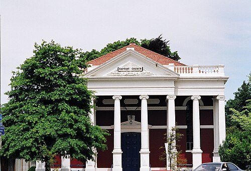 church building
Oxford Terrace Baptist Church
New Zealand church building
Getting there Nearest stop or station Bus Interchange, about 15 min on foot OpenStreetMap
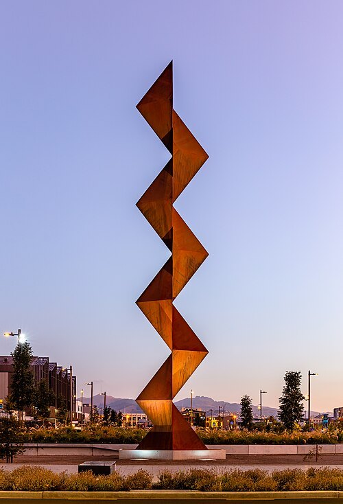 sculpture
Vaka 'A Hina
sculpture in Christchurch, New Zealand
Getting there Nearest stop or station Bus Interchange, about 8 min on foot OpenStreetMap
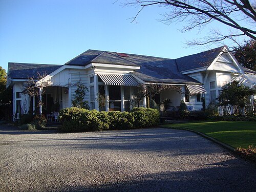 historic building
Te Whare Waiutuutu Kate Sheppard House
building in Christchurch, New Zealand
Getting there Nearest stop or station Metro Lounge, about 17 min on foot OpenStreetMap
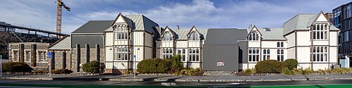 historic building
Canterbury Provincial Council Buildings
former government building in Christchurch, New Zealand
Getting there Nearest stop or station Bus Interchange, about 11 min on foot OpenStreetMap
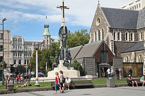 war memorial
Citizens' War Memorial
New Zealand war memorial
Getting there Nearest stop or station Bus Interchange, about 7 min on foot OpenStreetMap
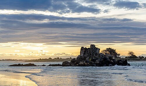
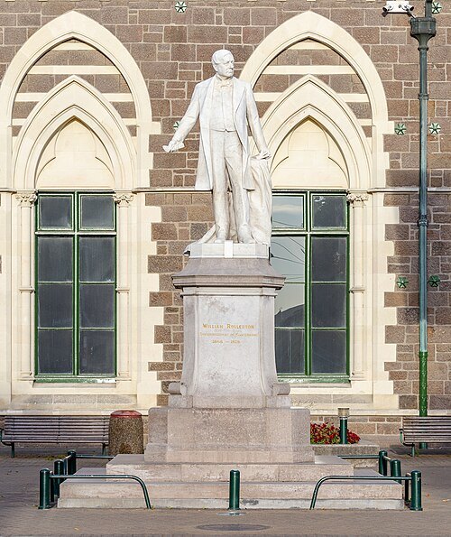 sculpture
Rolleston Statue
statue in Christchurch
Getting there Nearest stop or station Bus Interchange, about 14 min on foot OpenStreetMap
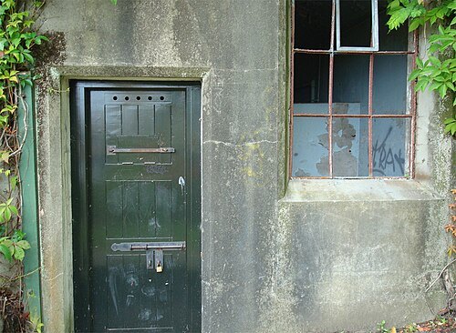
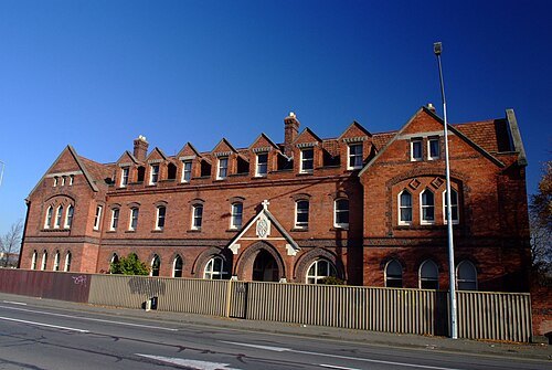
Francis Vallance / CC BY-SA 2.0
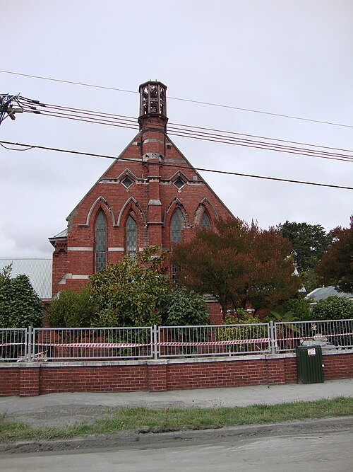
church buildingCommunity of the Sacred Name (Former)
former convent and chapel in the central city of Christchurch, New Zealand (brick building demolished after the 2011 Christchurch earthquake)
Getting there Nearest stop or station Bus Interchange, about 10 min on foot OpenStreetMap
 mosque
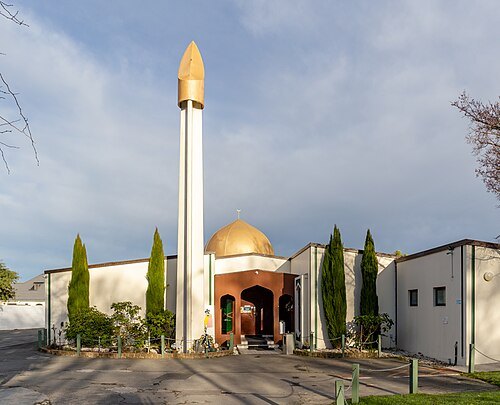
Al Noor Mosque
mosque in Christchurch, New Zealand
Getting there Nearest stop or station Christchurch, about 13 min on foot OpenStreetMap
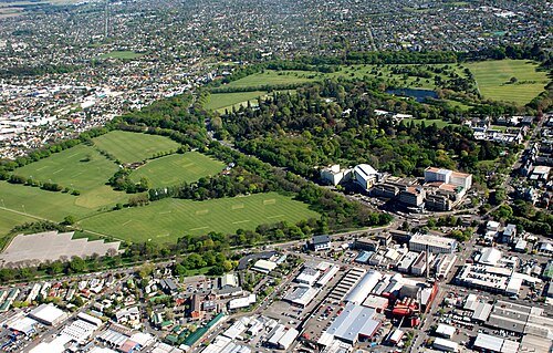
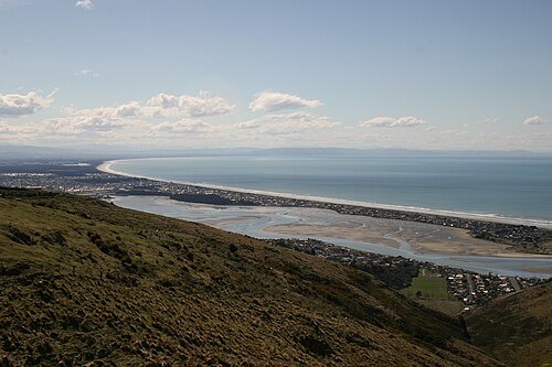
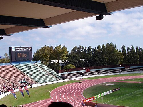
 defunct sports venue
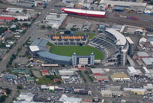
Lancaster Park
Recreational area; former sports venue in Christchurch, New Zealand
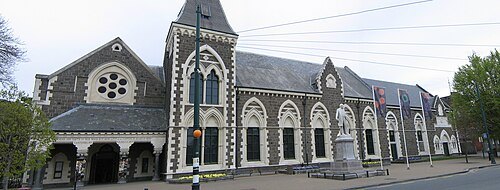
Photograph by Greg O'Beirne / CC BY 2.5
museumCanterbury Museum
museum in Christchurch, New Zealand
Getting there Nearest stop or station Bus Interchange, about 15 min on foot OpenStreetMap
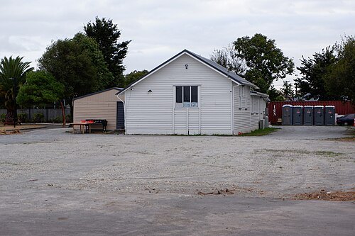
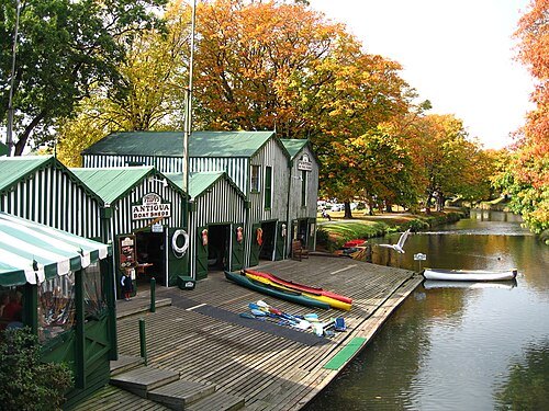
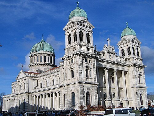
Photograph by Greg O'Beirne / CC BY 2.5
historic buildingCathedral of the Blessed Sacrament
New Zealand cathedral
Getting there Nearest stop or station Bus Interchange, about 12 min on foot OpenStreetMap
The original uploader was Nzfooty at English Wikipedia. / CC BY 2.5
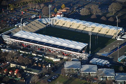 multi-purpose stadium
Rugby League Park
separate stadium also in Christchurch, and temporary home to the Crusaders of Super Rugby
Getting there Nearest stop or station Christchurch, about 8 min on foot OpenStreetMap
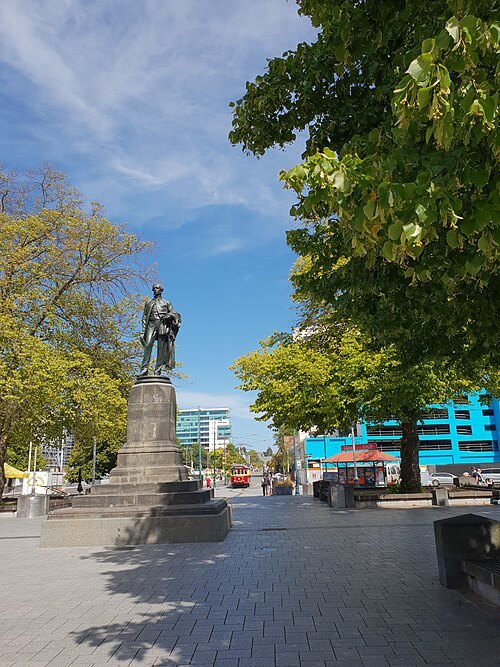 square
Cathedral Square
square in Christchurch, New Zealand
Getting there Nearest stop or station Bus Interchange, about 7 min on foot OpenStreetMap
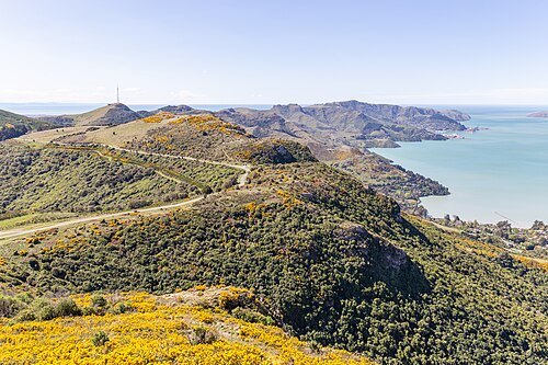
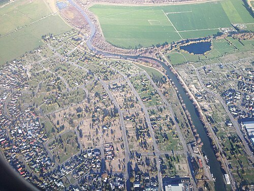
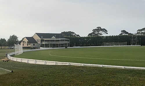
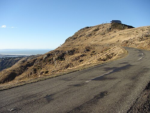 mountain
Mount Cavendish
mountain in New Zealand
Getting there Nearest stop or station Upper Gondola Station, about 1 min on foot OpenStreetMap
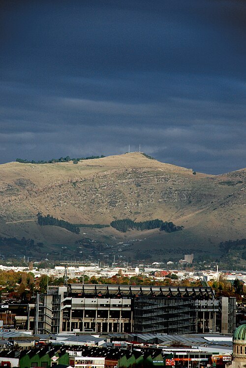 hill
Tauhinukorokio / Mount Pleasant
mountain in New Zealand
Getting there Nearest stop or station Upper Gondola Station, about 14 min on foot OpenStreetMap
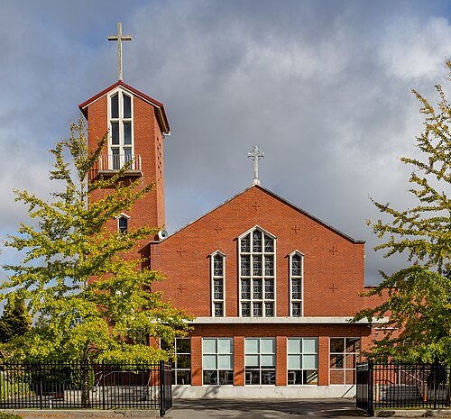 cathedral
St. Mary's Pro-Cathedral, Christchurch
church in Christchurch, New Zealand
Getting there Nearest stop or station Bus Interchange, about 20 min on foot OpenStreetMap
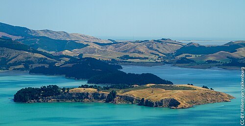
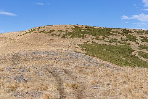
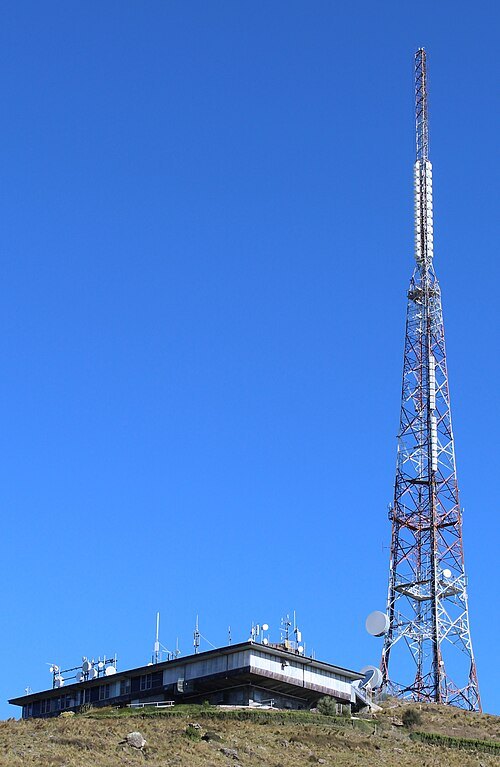
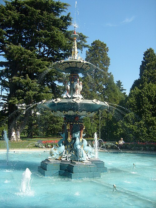 fountain
Peacock Fountain
New Zealand fountain
Getting there Nearest stop or station Bus Interchange, about 14 min on foot OpenStreetMap
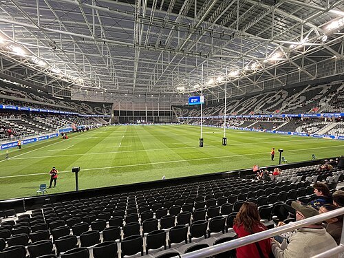 stadium
One NZ Stadium
Stadium in Christchurch, New Zealand
Getting there Nearest stop or station Bus Interchange, about 9 min on foot OpenStreetMap
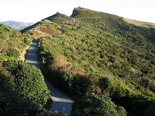
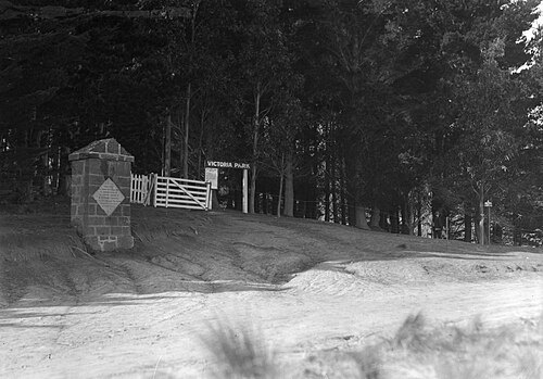
Albert Percy Godber (1875-1949) / Public domain
parkVictoria Park
New Zealand protected area on the Christchurch Port Hills
Getting there Nearest stop or station Chair Lift bottom station, about 19 min on foot OpenStreetMap
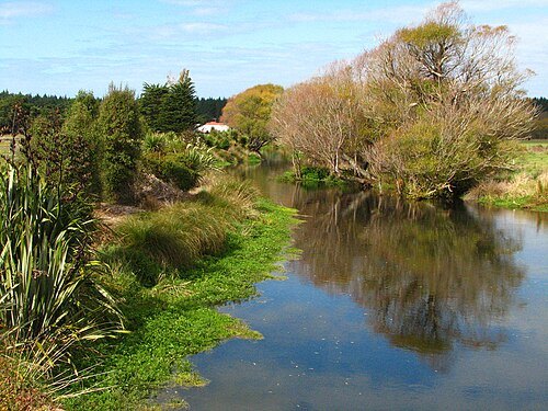
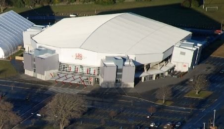
Addington_Rugby_Stadium_&_CBS_Arena.jpg: Geof Wilson derivative work: Schwede66 / CC BY-SA 2.0
arenaWolfbrook Arena
Sporting arena in New Zealand
Getting there Nearest stop or station Christchurch, about 13 min on foot OpenStreetMap
- horse racing venue
Riccarton Park Racecourse
thoroughbred horse racecourse for the Christchurch, New Zealand
 square
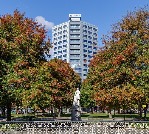
Victoria Square
square in central Christchurch, New Zealand
Getting there Nearest stop or station Bus Interchange, about 12 min on foot OpenStreetMap
 square
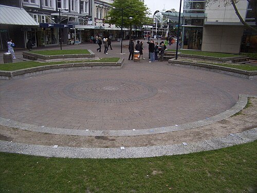
Hack Circle
former amphitheatre in Christchurch, New Zealand, also known as Hack
Getting there Nearest stop or station Bus Interchange, about 3 min on foot OpenStreetMap
Heather Cuthill / CC BY-SA 2.0
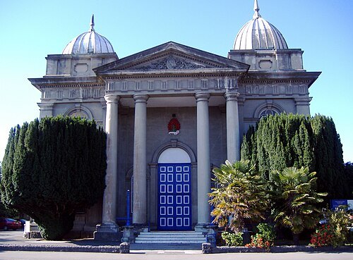
church buildingSt Paul's Church, Christchurch
demolished church building in Canterbury Region, New Zealand
Getting there Nearest stop or station Bus Interchange, about 7 min on foot OpenStreetMap
 memorial
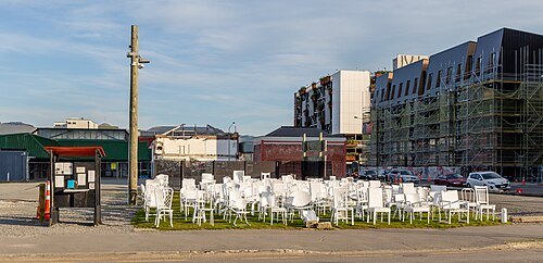
185 chairs
memorial in Christchurch, New Zealand
Getting there Nearest stop or station Bus Interchange, about 7 min on foot OpenStreetMap
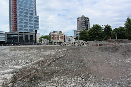
Jocelyn Kinghorn / CC BY-SA 2.0
catholic cathedralChristchurch Catholic Cathedral
proposed Roman Catholic cathedral in New Zealand
Getting there Nearest stop or station Bus Interchange, about 13 min on foot OpenStreetMap
- wildlife park
Orana Wildlife Park


Places to eat
- restaurant
Azalea Cuisine Souvlaki & Thai
Food: souvlaki, thai, kebab, curry
- cafe
Bean & Co
Food: coffee shop
Nothing here matches that. Clear a filter and try again.
Opening hours and tickets: OpenStreetMap contributors. Each one shows the day a volunteer last wrote it down, so check the official site before you set out.