Auckland: what to see and where to eat
Everything below comes from open data and each row says where it came from. We have not been to any of these places and we do not rank them.
Filters
Things to see
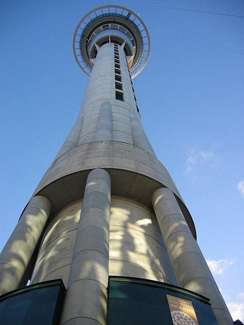 television tower
Sky Tower
observation and communication tower in Auckland, New Zealand
Getting there Nearest stop or station InterCity Bus Terminal, about 1 min on foot OpenStreetMap
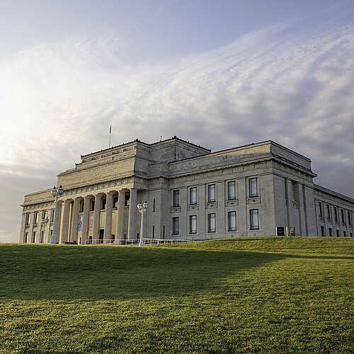
Daan Hoffmann / Auckland War Memorial Museum Tāmaki Paenga Hira / CC BY 2.0
military museumAuckland War Memorial Museum Tāmaki Paenga Hira
museum and war memorial in Auckland, New Zealand
Getting there Nearest stop or station Parnell, about 10 min on foot OpenStreetMap
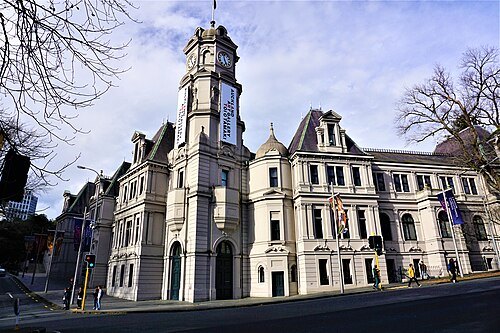 art museum
Auckland Art Gallery
art museum in Auckland, New Zealand
Getting there Nearest stop or station InterCity Bus Terminal, about 8 min on foot OpenStreetMap
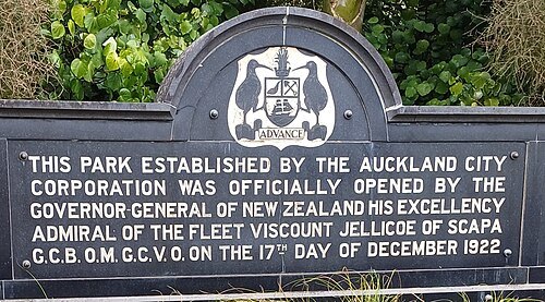 zoo
Auckland Zoo
zoo in inner Auckland, New Zealand
Getting there Nearest stop or station Waitītiko, about 9 min on foot OpenStreetMap
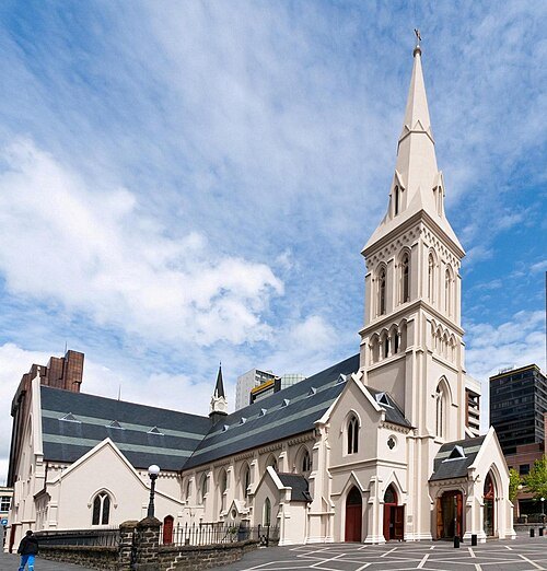 cathedral
St Patrick's Cathedral
cathedral in Auckland, New Zealand
Getting there Nearest stop or station InterCity Bus Terminal, about 5 min on foot OpenStreetMap
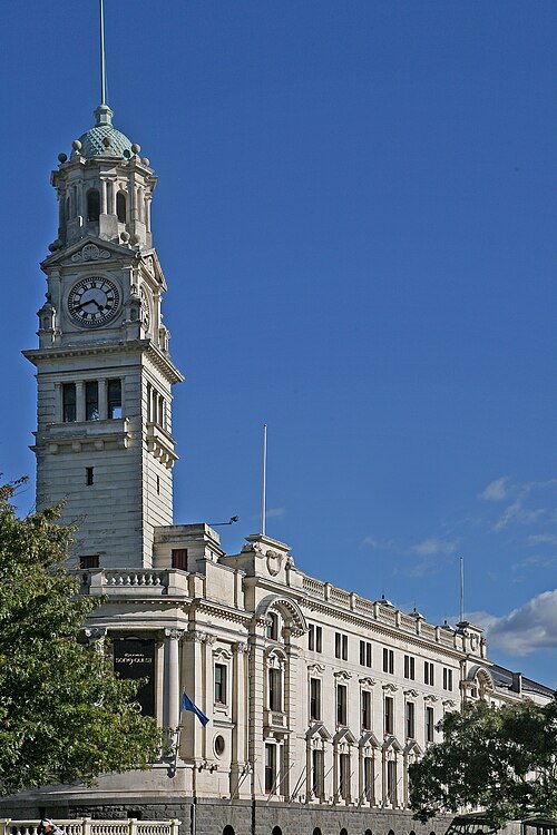 concert hall
Auckland Town Hall
town hall and concert hall on Aotea Square in Auckland, New Zealand
Getting there Nearest stop or station InterCity Bus Terminal, about 7 min on foot OpenStreetMap
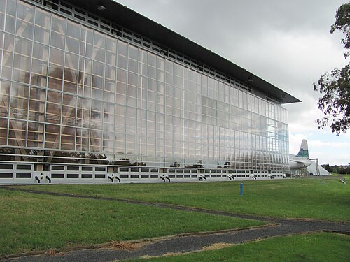 aviation museum
Museum of Transport and Technology
museum in Auckland
Getting there Nearest stop or station Morningside, about 17 min on foot OpenStreetMap
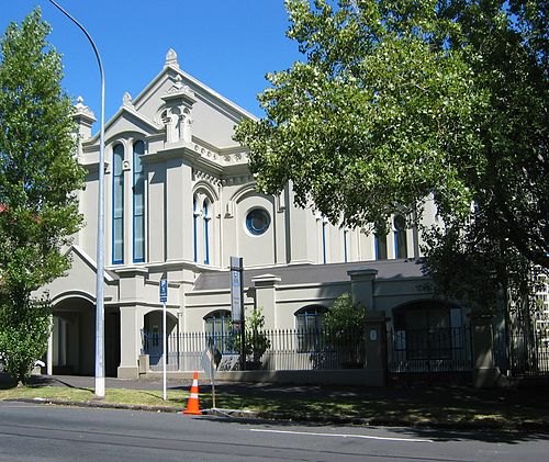
Building designed by Edward Bartley (1839–1919). Photo by Avenue / CC BY-SA 3.0
historic buildingUniversity House
former synagogue in New Zealand
Getting there Nearest stop or station Waitematā, about 7 min on foot OpenStreetMap
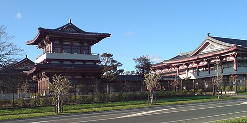
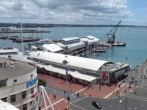
Ingolfson at English Wikipedia (Original text: Uploader.) / Public domain
historic buildingNew Zealand Maritime Museum Hui Te Ananui a Tangaroa
maritime museum in New Zealand
Getting there Nearest stop or station Lower Albert Street Interchange, about 3 min on foot OpenStreetMap
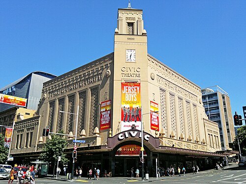 theatre building
Civic Theatre
cinema and performing-arts venue in Auckland, New Zealand
Getting there Nearest stop or station InterCity Bus Terminal, about 5 min on foot OpenStreetMap
 amusement park
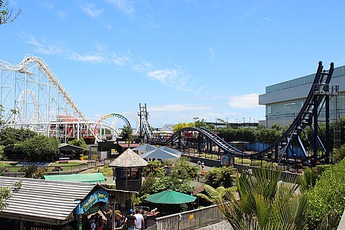
Rainbow's End
amusement park in Auckland, New Zealand
Getting there Nearest stop or station Manukau, about 7 min on foot OpenStreetMap
 stadium
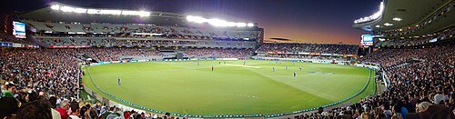
Eden Park
sports stadium in New Zealand
Getting there Nearest stop or station Kingsland, about 5 min on foot OpenStreetMap
- multi-purpose stadium
North Harbour Stadium
sports stadium in Auckland, New Zealand
Getting there Nearest stop or station Albany Bus Station, about 17 min on foot OpenStreetMap
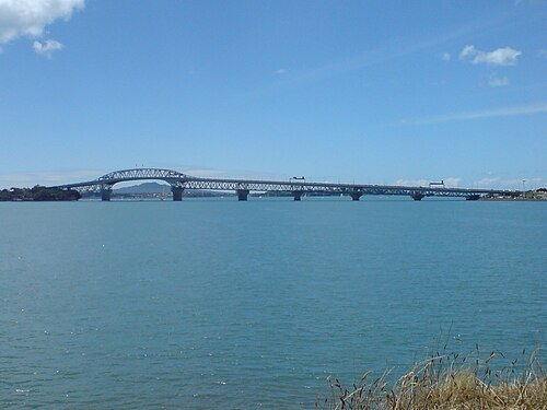
Ingolfson at English Wikipedia (Original text: Uploader.) / Public domain
cantilever bridgeAuckland Harbour Bridge
road bridge in Auckland, New Zealand
Getting there Nearest stop or station Sealink Hamer Street, about 20 min on foot OpenStreetMap
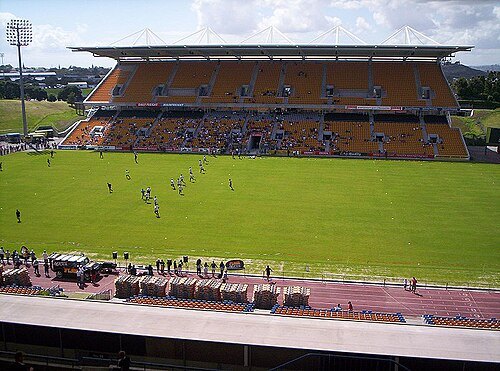 stadium
Mount Smart Stadium
football stadium in Auckland, New Zealand
Getting there Nearest stop or station Penrose, about 14 min on foot OpenStreetMap
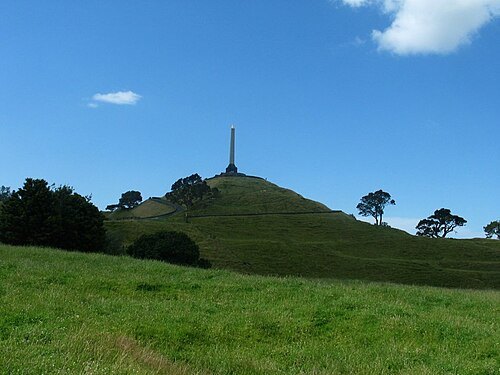
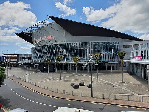 arena
Spark Arena
multipurpose arena in New Zealand
Getting there Nearest stop or station The Strand, about 4 min on foot OpenStreetMap
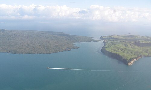
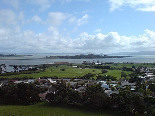
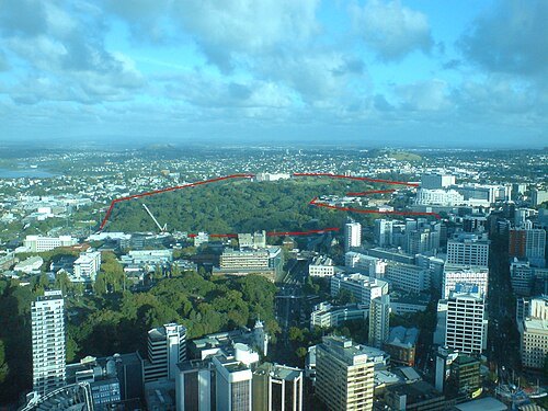
Ingolfson at English Wikipedia (Original text: Uploader.) / Public domain
parkAuckland Domain
public park in Auckland, New Zealand
Getting there Nearest stop or station Parnell, about 8 min on foot OpenStreetMap
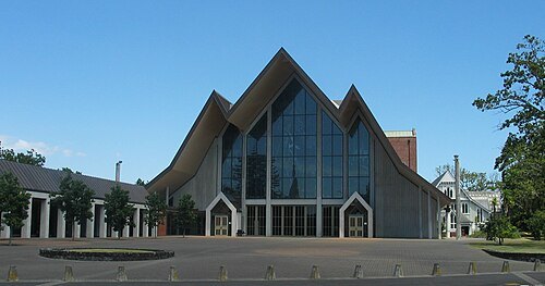
No machine-readable author provided. Gadfium assumed (based on copyright claims). / Public domain
anglican or episcopal cathedralHoly Trinity Cathedral
cathedral in Parnell, Auckland, New Zealand
Getting there Nearest stop or station Parnell, about 11 min on foot OpenStreetMap
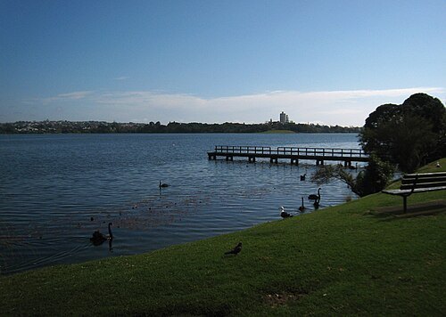 volcanic crater lake
Lake Pupuke
lake in New Zealand
Getting there Nearest stop or station Takapuna Bus Station, about 15 min on foot OpenStreetMap
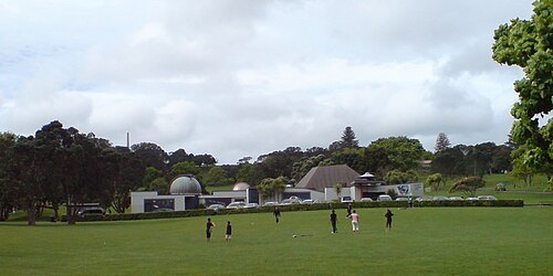
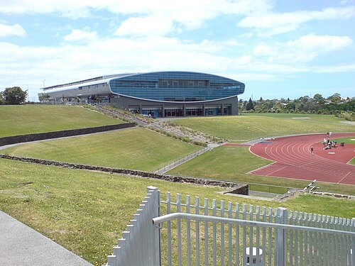
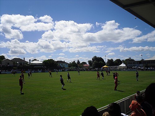
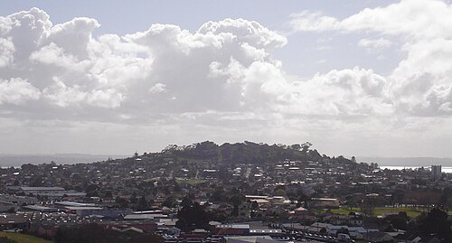
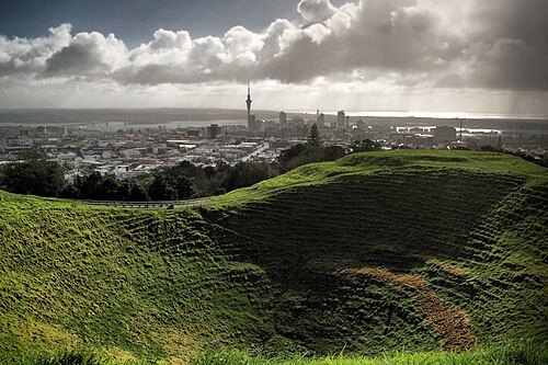
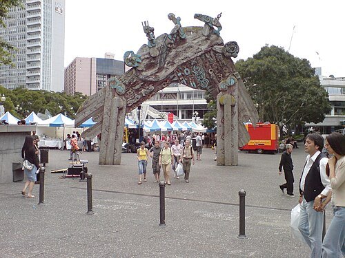
Ingolfson at English Wikipedia (Original text: Uploader.) / Public domain
squareAotea Square
public square in Auckland, New Zealand
Getting there Nearest stop or station InterCity Bus Terminal, about 6 min on foot OpenStreetMap
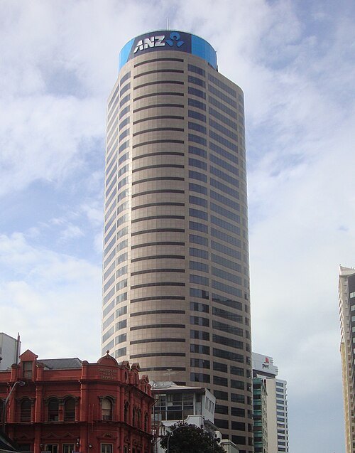 skyscraper
ANZ Centre
skyscraper in Auckland, New Zealand
Getting there Nearest stop or station Lower Albert Street Interchange, about 4 min on foot OpenStreetMap
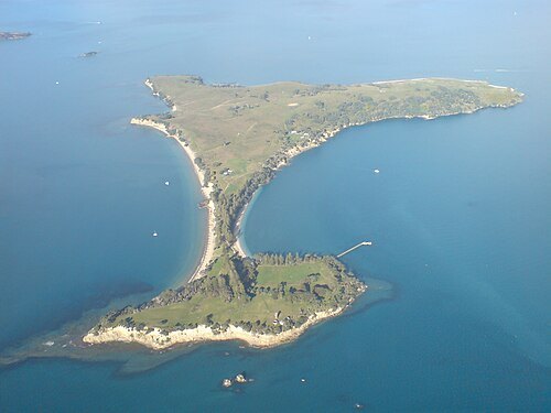
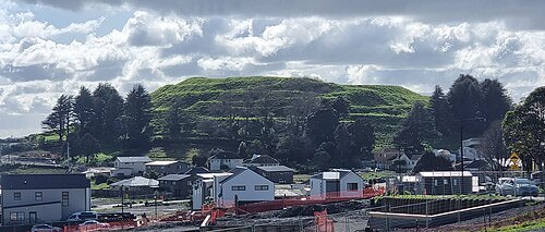
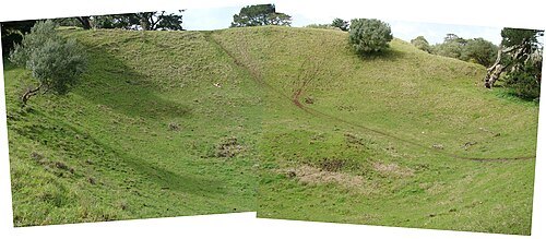
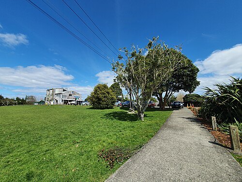
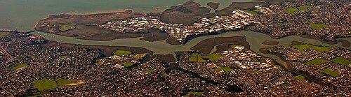
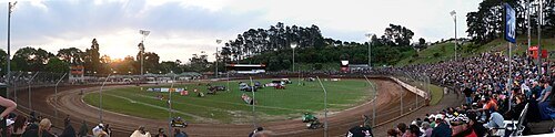
The original uploader was Nzv8fan at English Wikipedia. / CC BY-SA 3.0
stadiumWestern Springs Stadium
stadium in Auckland, New Zealand
Getting there Nearest stop or station Waitītiko, about 18 min on foot OpenStreetMap
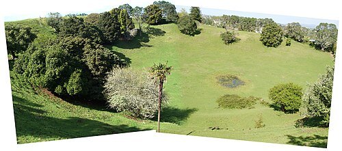 mountain
Mount Saint John
mountain in New Zealand
Getting there Nearest stop or station Remuera, about 8 min on foot OpenStreetMap
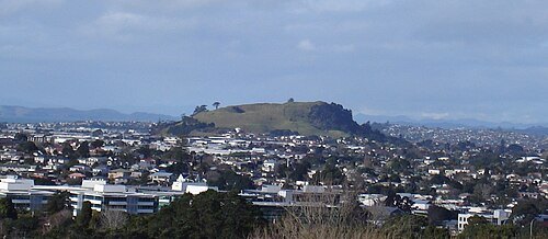 hill
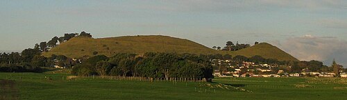
Maungarei / Mount Wellington
volcano in Auckland, New Zealand
Getting there Nearest stop or station Panmure, about 11 min on foot OpenStreetMap
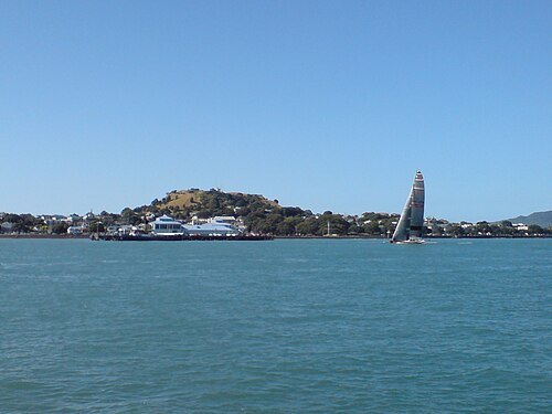
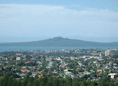
Ingolfson at English Wikipedia (Original text: Uploader.) / Public domain
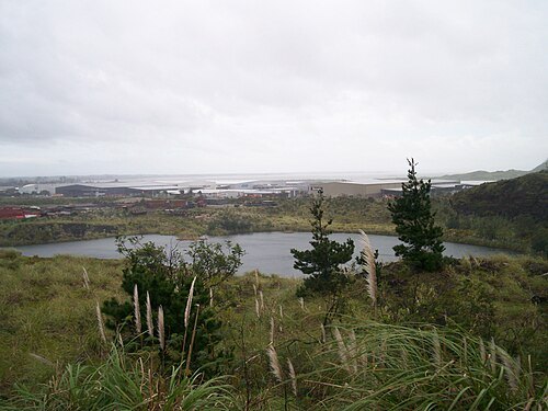
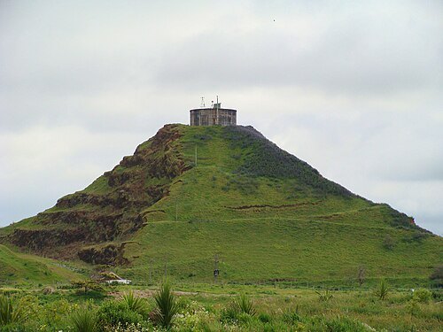
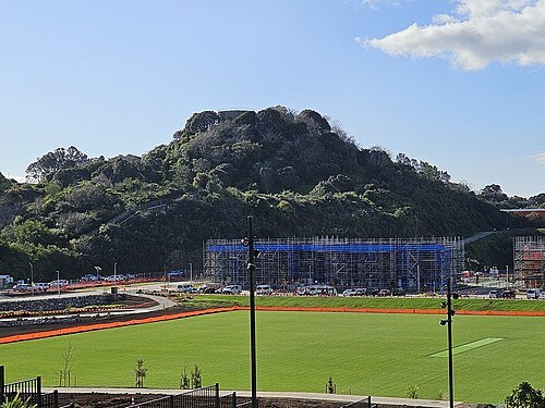
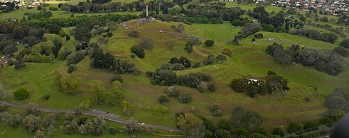
hillTakarunga / Mount Victoria
volcano on the North Shore, New Zealand
Getting there Nearest stop or station Devonport Ferry Terminal, about 12 min on foot OpenStreetMap
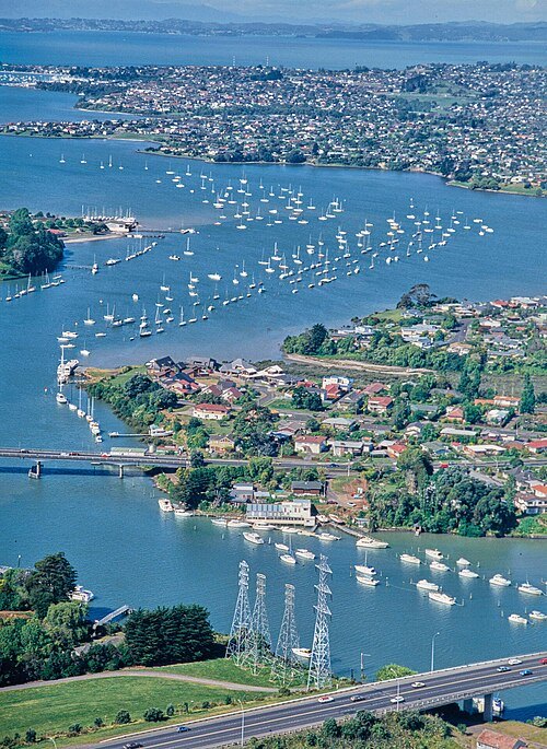
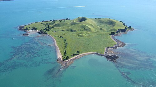
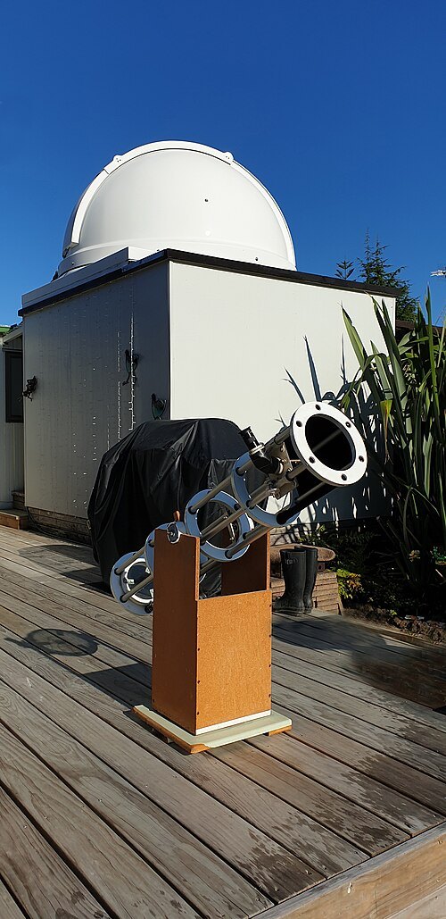
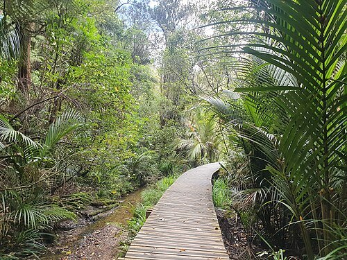 park
Le Roys Bush
forest on the North Shore, New Zealand
Getting there Nearest stop or station Birkenhead Ferry Terminal, about 18 min on foot OpenStreetMap
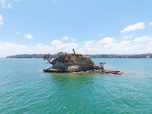
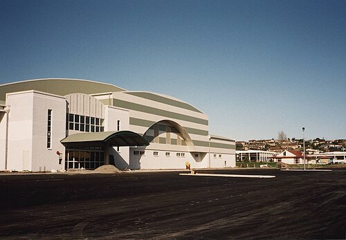 sports venue
Eventfinda Stadium
sports venue in Auckland, New Zealand
Getting there Nearest stop or station Smales Farm Bus Station, about 10 min on foot OpenStreetMap
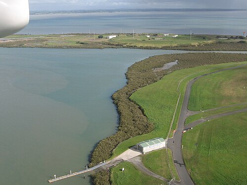
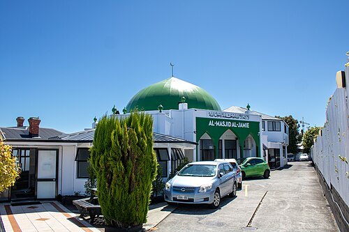
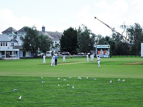
- street
Queen Street
major commercial thoroughfare in Auckland, New Zealand
Getting there Nearest stop or station InterCity Bus Terminal, about 5 min on foot OpenStreetMap
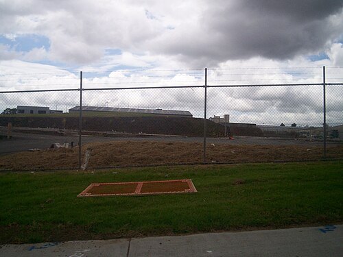 mountain
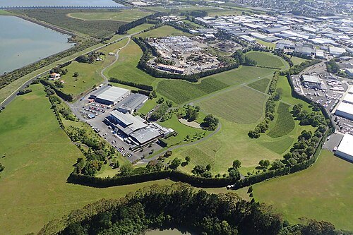
Ash Hill
former volcano in Auckland, New Zealand
Getting there Nearest stop or station Manukau, about 20 min on foot OpenStreetMap


Places to eat
- restaurant
Better Burger
Food: burger
- restaurant
Ramen Do
Food: japanese, ramen
- restaurant
Ruang Thong Thai 2
Food: thai
- restaurant
1982 Xinjiang Rice Noodle
Food: chinese
- restaurant
Cassia
Food: indian
Nothing here matches that. Clear a filter and try again.
Opening hours and tickets: OpenStreetMap contributors. Each one shows the day a volunteer last wrote it down, so check the official site before you set out.