Pokhara: what to see and where to eat
Everything below comes from open data and each row says where it came from. We have not been to any of these places and we do not rank them.
Filters
Things to see
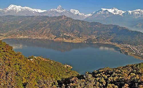
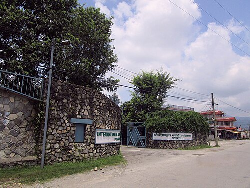
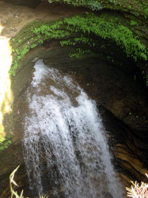 waterfall
Davis Falls
waterfall
Getting there Nearest stop or station Bus Stop, about 17 min on foot OpenStreetMap
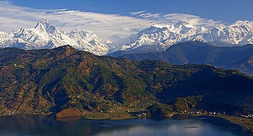
Jean-Marie Hullot / CC BY-SA 3.0
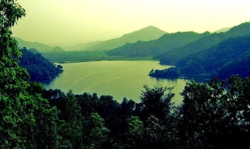
valleyPokhara Valley
valley in the hilly region of western Nepal
Getting there Nearest stop or station Hari Chok Bus Station (Nayapul, Ghandruk, Lumre), about 17 min on foot OpenStreetMap
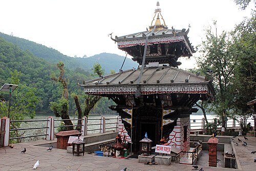
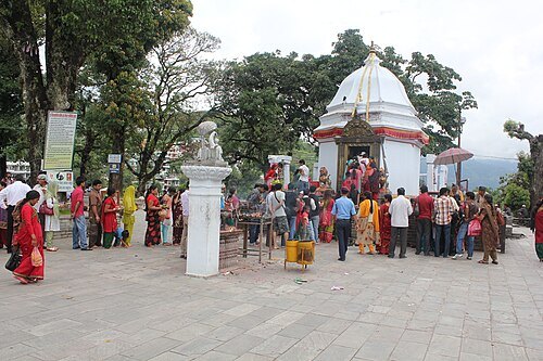 hindu temple
Bindhyabasini Temple
Hindu temple in Pokhara, Nepal
Getting there Nearest stop or station Hari Chok Bus Station (Nayapul, Ghandruk, Lumre), about 9 min on foot OpenStreetMap
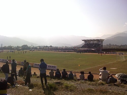
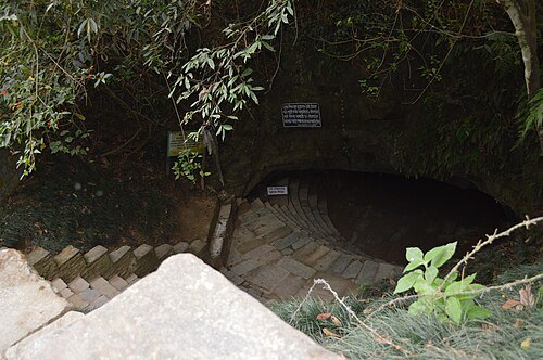
- cave
Gupteshwor Mahadev Cave
cave in Nepal
Getting there Nearest stop or station Bus Stop, about 15 min on foot OpenStreetMap
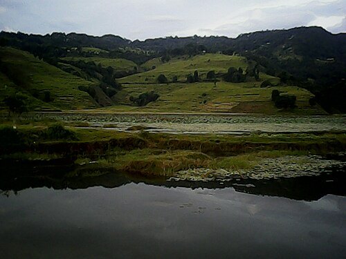
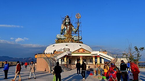
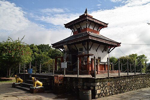
- river
Kali Khola, Pokhara
River tributary in Nepal
Getting there Nearest stop or station Tractor station, about 10 min on foot OpenStreetMap
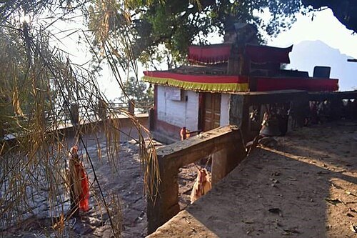
Pitambar Bhattarai / CC BY-SA 4.0
hindu templeChandikalika Temple
Hindu temple in Syangja District, Nepal


Places to eat
- restaurant
Hungry Eye
Food: regional, western, indian
- cafe
Namaste Bakery and Sandwich Point
Food: sandwich
Nothing here matches that. Clear a filter and try again.
Opening hours and tickets: OpenStreetMap contributors. Each one shows the day a volunteer last wrote it down, so check the official site before you set out.