Kathmandu: what to see and where to eat
Everything below comes from open data and each row says where it came from. We have not been to any of these places and we do not rank them.
Filters
Things to see
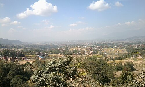 valley
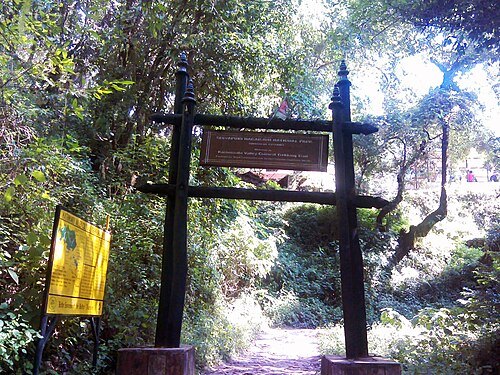
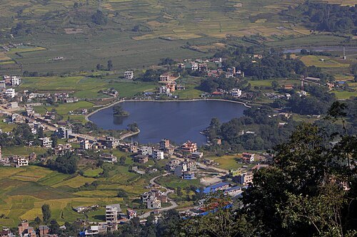
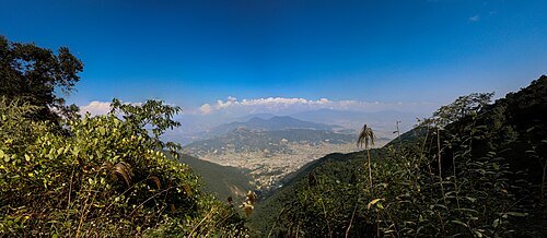
Kathmandu Valley
valley in Bagmati Province, Nepal
Getting there Nearest stop or station Ratnapark Micro Bus Station, about 9 min on foot OpenStreetMap
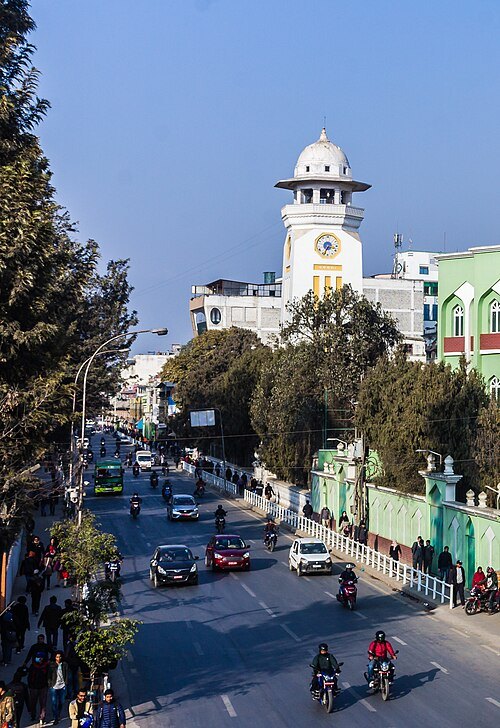
Bijay Chaurasia / CC BY-SA 4.0
clock towerGhanta Ghar
clock tower in Kathmandu, Nepal
Getting there Nearest stop or station Bus Stop To Airport, about 1 min on foot OpenStreetMap
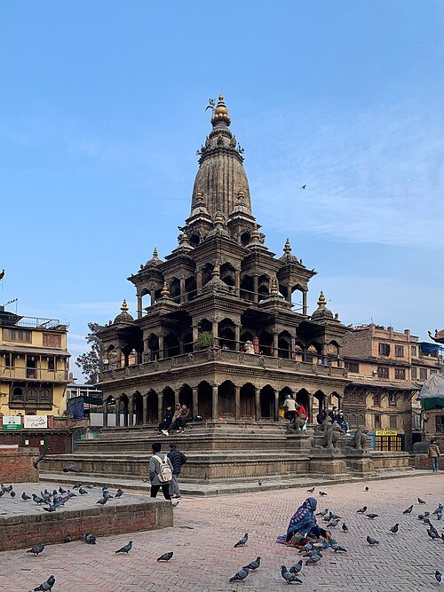
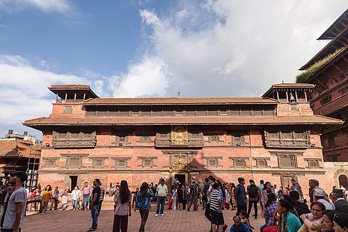
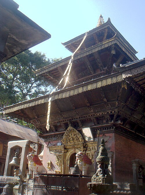
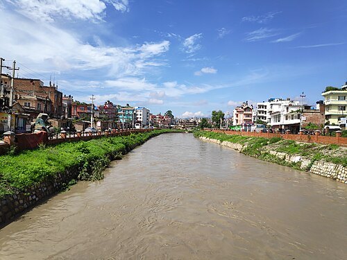
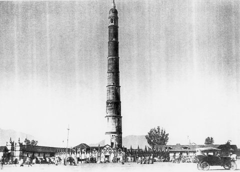
Unknown authorUnknown author / Public domain
towerDharahara
nine storey tower built in 1832
Getting there Nearest stop or station Ratnapark Micro Bus Station, about 3 min on foot OpenStreetMap
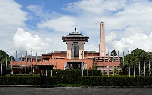 museum
Narayanhiti Palace
palace in Kathmandu, Nepal
Getting there Nearest stop or station Tourist Bus Station, about 10 min on foot OpenStreetMap
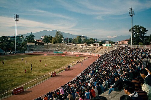 association football venue
Dasarath Rangasala Stadium
football stadium
Getting there Nearest stop or station Ratnapark Micro Bus Station, about 12 min on foot OpenStreetMap
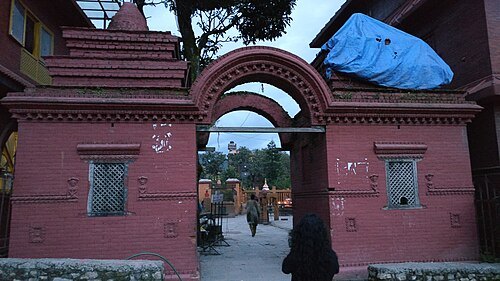 hindu temple
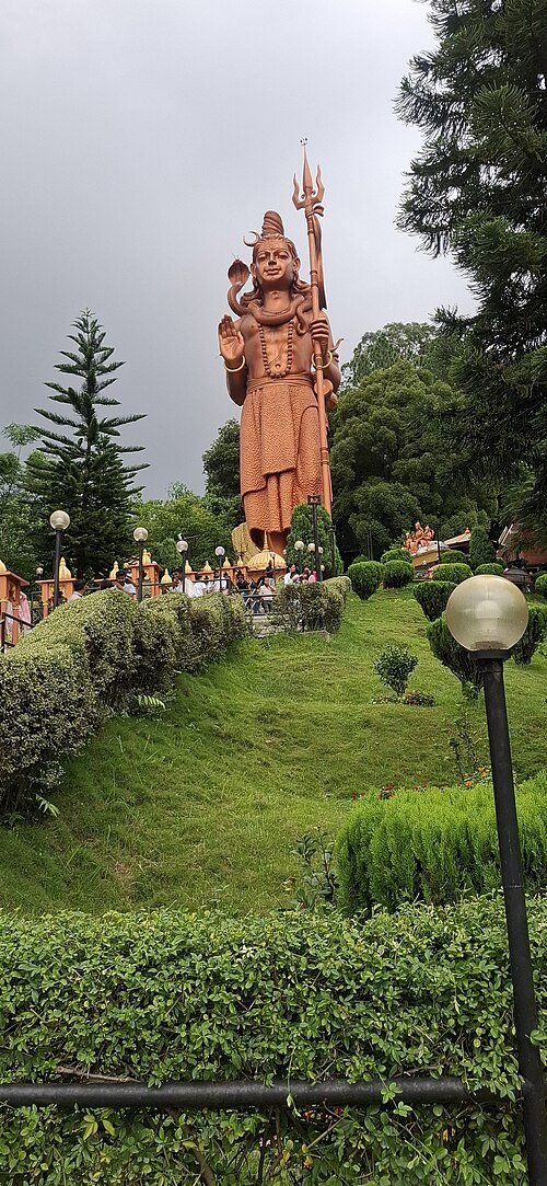
Budhanilkantha Temple
Hindu temple in Kathmandu District, Nepal
Getting there Nearest stop or station Buddhanilkantha Bus Stop, about 3 min on foot OpenStreetMap
Sigismund von Dobschütz / Public domain
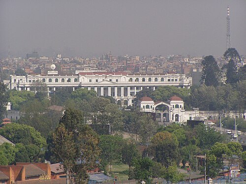
palaceSingha Durbar
palace in Kathmandu, Nepal
Getting there Nearest stop or station Bhaktapur Bus Park, about 18 min on foot OpenStreetMap
Mahalaxmi silwal / CC BY-SA 3.0
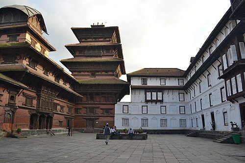
palaceHanuman Dhoka
kathmandu's old royal palace
Getting there Nearest stop or station Ratnapark Micro Bus Station, about 10 min on foot OpenStreetMap
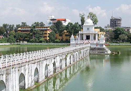 reservoir
Ranipokhari
reservoir in Nepal
Getting there Nearest stop or station Bus Stop From Airport, about 2 min on foot OpenStreetMap
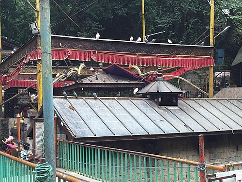
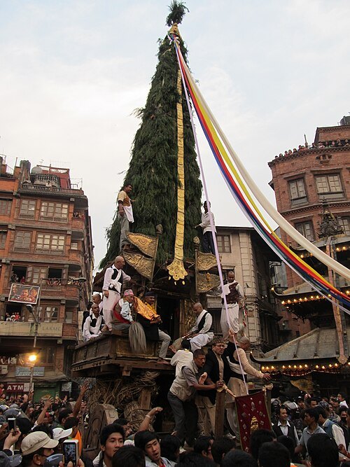 square
Asan
square in Kathmandu, Nepal
Getting there Nearest stop or station Bus Stop To Airport, about 3 min on foot OpenStreetMap
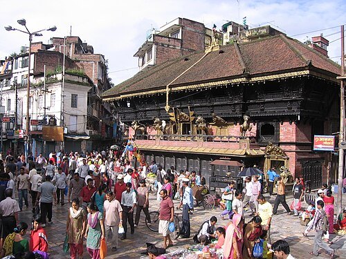
Kamal Ratna Tuladhar / CC BY-SA 3.0
squareIndra Chowk
market square in Kathmandu
Getting there Nearest stop or station Bus Stop To Airport, about 8 min on foot OpenStreetMap
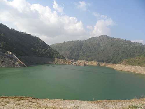
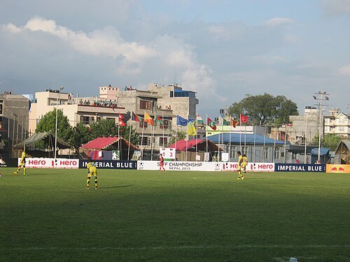 stadium
Halchowk Stadium
stadium
Getting there Nearest stop or station Shanti Chowk, about 9 min on foot OpenStreetMap
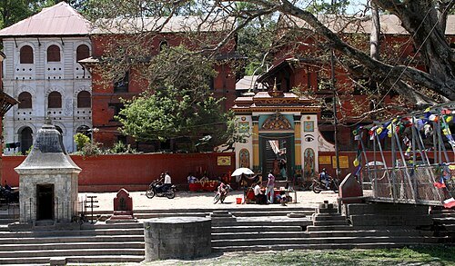 temple
Guhyeshwari Temple
Nepalese Hindu temple
Getting there Nearest stop or station Tusal, about 17 min on foot OpenStreetMap
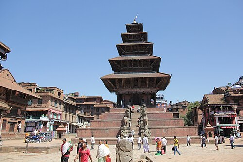 hindu temple
Nyatapola Temple
Hindu temple in Bhaktapur, Nepal
Getting there Nearest stop or station bus to Kathmandu, about 10 min on foot OpenStreetMap
 hindu temple
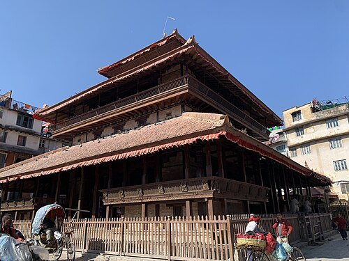
Kasthamandap
Hindu temple in Nepal
Getting there Nearest stop or station Ratnapark Micro Bus Station, about 13 min on foot OpenStreetMap
 catholic cathedral
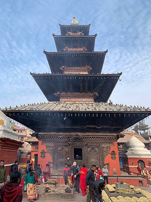
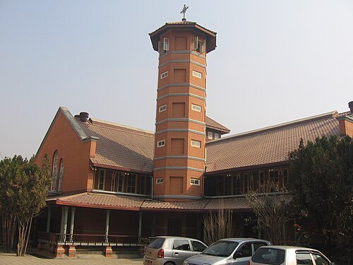
Assumption of the Blessed Virgin Mary Cathedral, Kathmandu
church in Kathmandu, Nepal
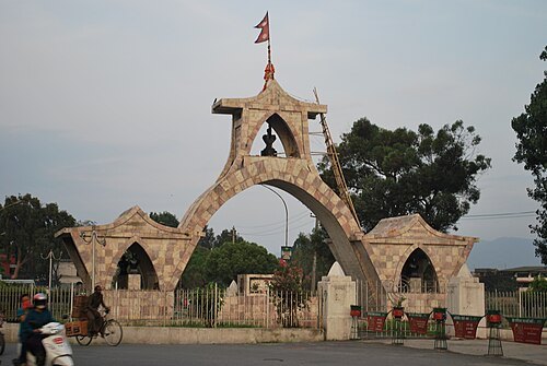 monument
Shahid Gate
monument in Kathmandu, Nepal
Getting there Nearest stop or station Ratnapark Micro Bus Station, about 4 min on foot OpenStreetMap
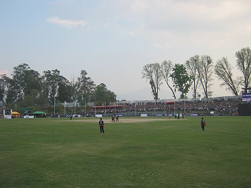 sports venue
Tribhuvan University International Cricket Ground
Cricket Ground in Kathmandu, Nepal
Getting there Nearest stop or station Laboratory School Bus Station, about 6 min on foot OpenStreetMap
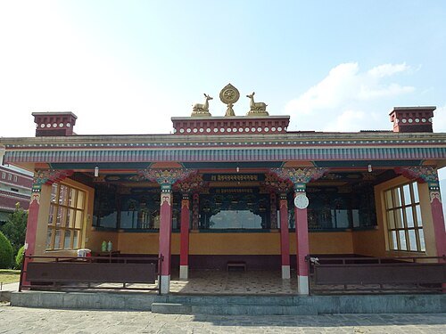
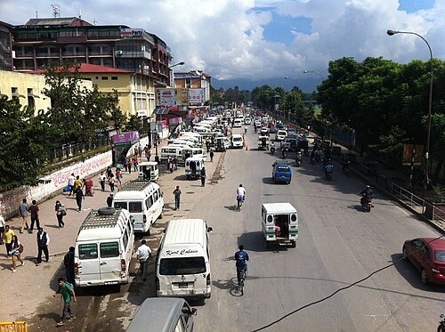 park
Ratna Park
park in Kasthamandap, Nepal
Getting there Nearest stop or station Bus Stop From Airport, about 3 min on foot OpenStreetMap
Bijay Chaurasia / CC BY-SA 4.0
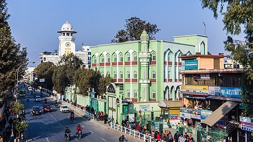
mosquePancha Kashmiri Takiya Masjid
mosque in Kathmandu, Bagmati, Nepal
Getting there Nearest stop or station Bus Stop To Airport, about 2 min on foot OpenStreetMap
 stupa
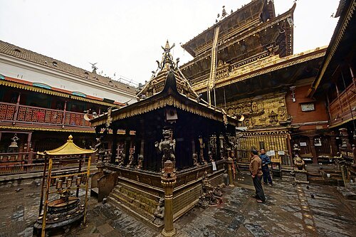
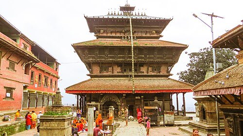
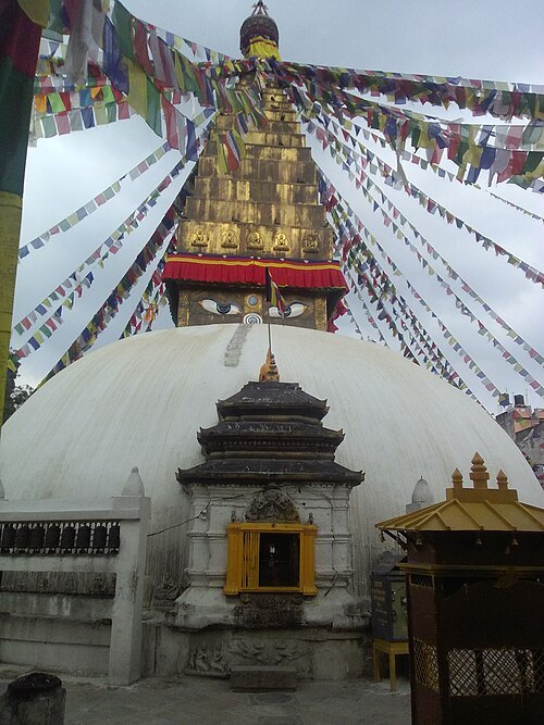
Charumati Stupa
Buddhist Stupa in Kathmandu, Nepal
Getting there Nearest stop or station Tusal, about 20 min on foot OpenStreetMap
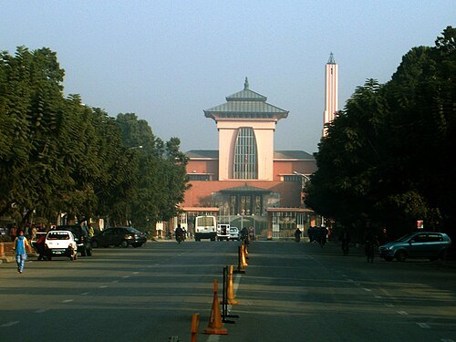 avenue
Durbar Marg
avenue in Kathmandu, Nepal
Getting there Nearest stop or station Tourist Bus Station, about 5 min on foot OpenStreetMap
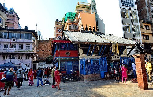
Rajesh Dhungana / CC BY-SA 4.0
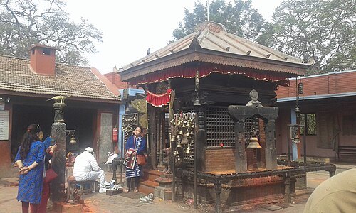
hindu templeSankata Temple
Hindu temple in Kathmandu, Nepal
Getting there Nearest stop or station Ratnapark Micro Bus Station, about 2 min on foot OpenStreetMap
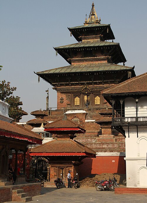 hindu temple
Taleju Temple
Hindu temple in Kathmandu, Nepal
Getting there Nearest stop or station Ratnapark Micro Bus Station, about 10 min on foot OpenStreetMap
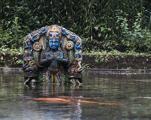
 monument
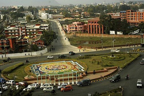
Maitighar Mandala
symbolic monument
Getting there Nearest stop or station Ratnapark Micro Bus Station, about 16 min on foot OpenStreetMap
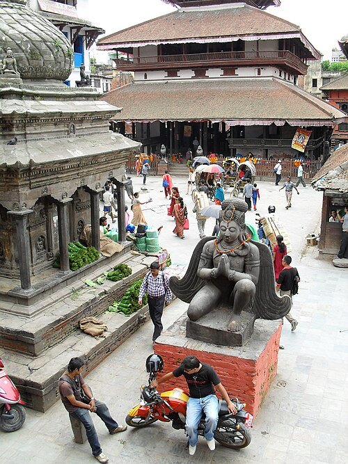
S Pakhrin from DC, USA / CC BY 2.0
squareMaru, Kathmandu
neighbourhood in the Nepalese capital
Getting there Nearest stop or station Ratnapark Micro Bus Station, about 13 min on foot OpenStreetMap
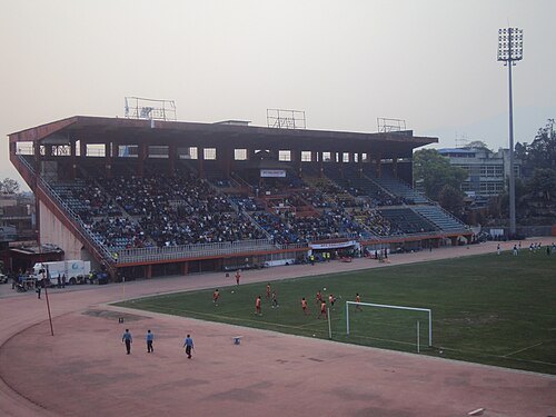 stadium disaster
Kathmandu stadium disaster
March 1988 stadium disaster in Kathmandu, Nepal
Getting there Nearest stop or station Ratnapark Micro Bus Station, about 12 min on foot OpenStreetMap
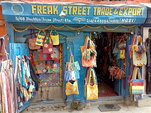 street
Jhochhen
street in Kathmandu, Nepal
Getting there Nearest stop or station Ratnapark Micro Bus Station, about 10 min on foot OpenStreetMap
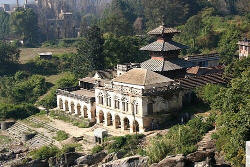
- sports venue
Upper Mulpani Cricket Stadium
Cricket stadium in Nepal
Getting there Nearest stop or station Nepal Yatayat Bus Station, about 11 min on foot OpenStreetMap
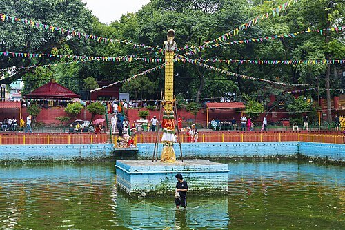
Bijay Chaurasia / CC BY-SA 4.0
reservoirNaag Pokhari
17th century pond in Kathmandu, Nepal
Getting there Nearest stop or station Tourist Bus Station, about 13 min on foot OpenStreetMap
- scenic viewpoint
Suryachaur


Places to eat
- restaurant
Ambience 365
Food: sizzling momo, california chicken, spaghetti, burger, sandwich, nepali khana set, newari, fried chicken, momo, chowmein, fried rice etc. etc.
- cafe
Café Soma
Food: sandwich
- restaurant
Prem Sekuwa Center and Bhojanalya Center
Food: chiken sekuwa,
- cafe
सन क्याफे एण्ड बार
Food: nepalese, indian, breakfast, burger, chicken, fish and chips, kebab, noodles, pasta, pancake, sandwich, tea, hot dog, grill
- restaurant
Wifi Food Cafe
Food: nepali, indian, chinese, italian
- restaurant
रीफ रेस्टुरेन्ट र लाउन्ज बार
Food: continental,
Nothing here matches that. Clear a filter and try again.
Opening hours and tickets: OpenStreetMap contributors. Each one shows the day a volunteer last wrote it down, so check the official site before you set out.